The best gravel rides around Tilloy-Lès-Mofflaines
4.1
(30)
187
riders
47
rides
Gravel biking around Tilloy-Lès-Mofflaines offers access to a varied landscape in the Hauts-de-France region, southeast of Arras. The terrain features gently undulating elevations, ranging from 54 to 102 meters, making it suitable for cycling without overly challenging climbs. Riders can explore wooded areas and open countryside, often utilizing unpaved paths and regional cycling networks. The area's proximity to Arras also connects it to routes that incorporate historical sites and river valleys.
Best gravel bike trails around Tilloy-Lès-Mofflaines
- The most popular…
Last updated: July 3, 2026
1.0
(2)
15
riders
53.7km
03:10
170m
170m
Moderate gravel ride. Good fitness required. Mostly paved surfaces. Suitable for all skill levels.
5.0
(1)
9
riders
48.2km
03:10
450m
450m
Moderate gravel ride. Good fitness required. Mostly paved surfaces. Suitable for all skill levels.

Sign up for free
5.0
(1)
8
riders
61.0km
03:40
410m
410m
Moderate gravel ride. Good fitness required. Mostly paved surfaces. Suitable for all skill levels.
5.0
(2)
6
riders
19.4km
01:13
90m
90m
Easy gravel ride. Great for any fitness level. Mostly paved surfaces. Suitable for all skill levels.
3
riders
40.2km
02:40
200m
200m
Moderate gravel ride. Good fitness required. Mostly paved surfaces. Suitable for all skill levels.
Get access to more routes and recommendations from other explorers.
Sign up for free
Already have an account?
Our route recommendations are based on thousands of hikes, rides, and runs completed by other people on komoot.
Start today with a free account
Your next adventure awaits.
Login or Signup
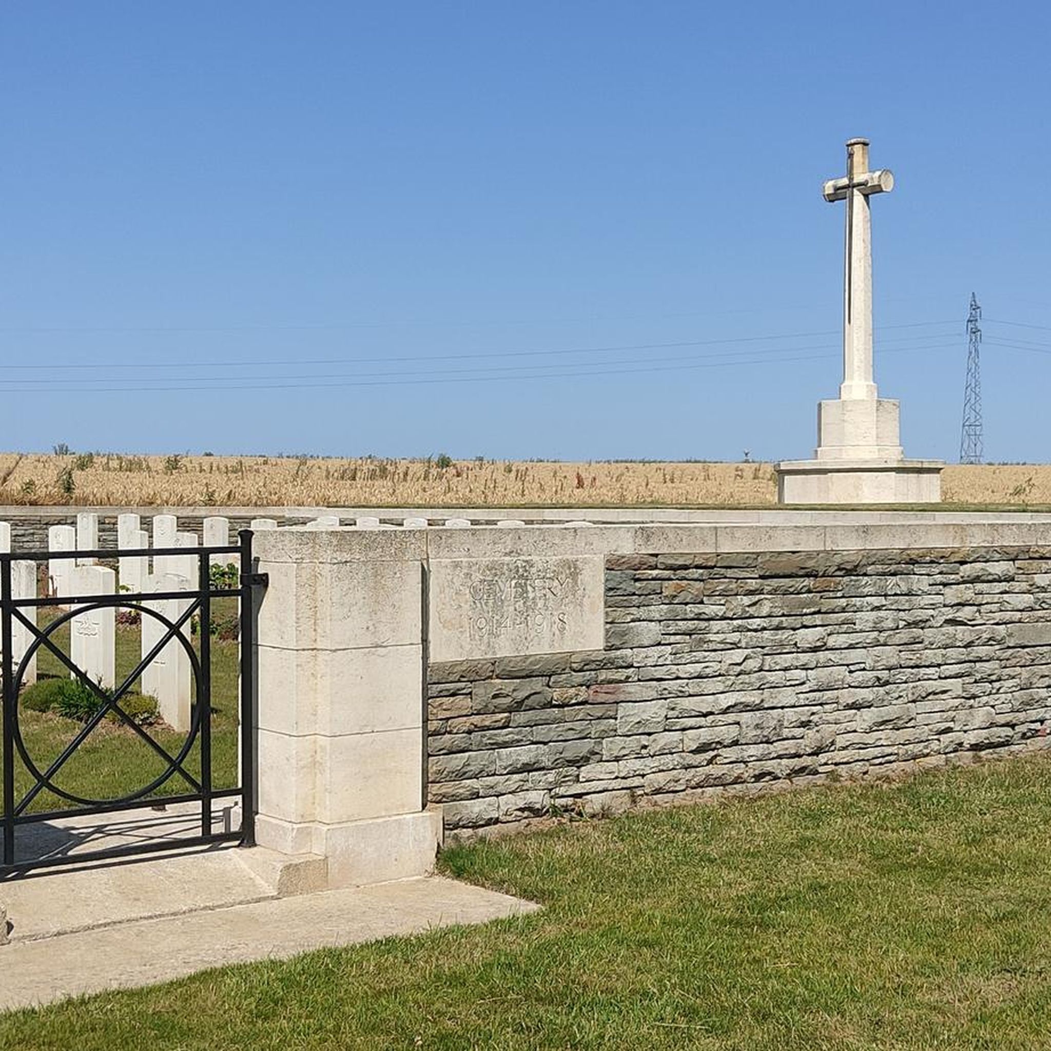
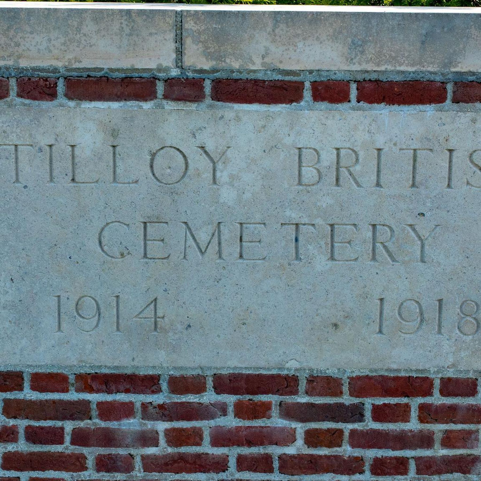
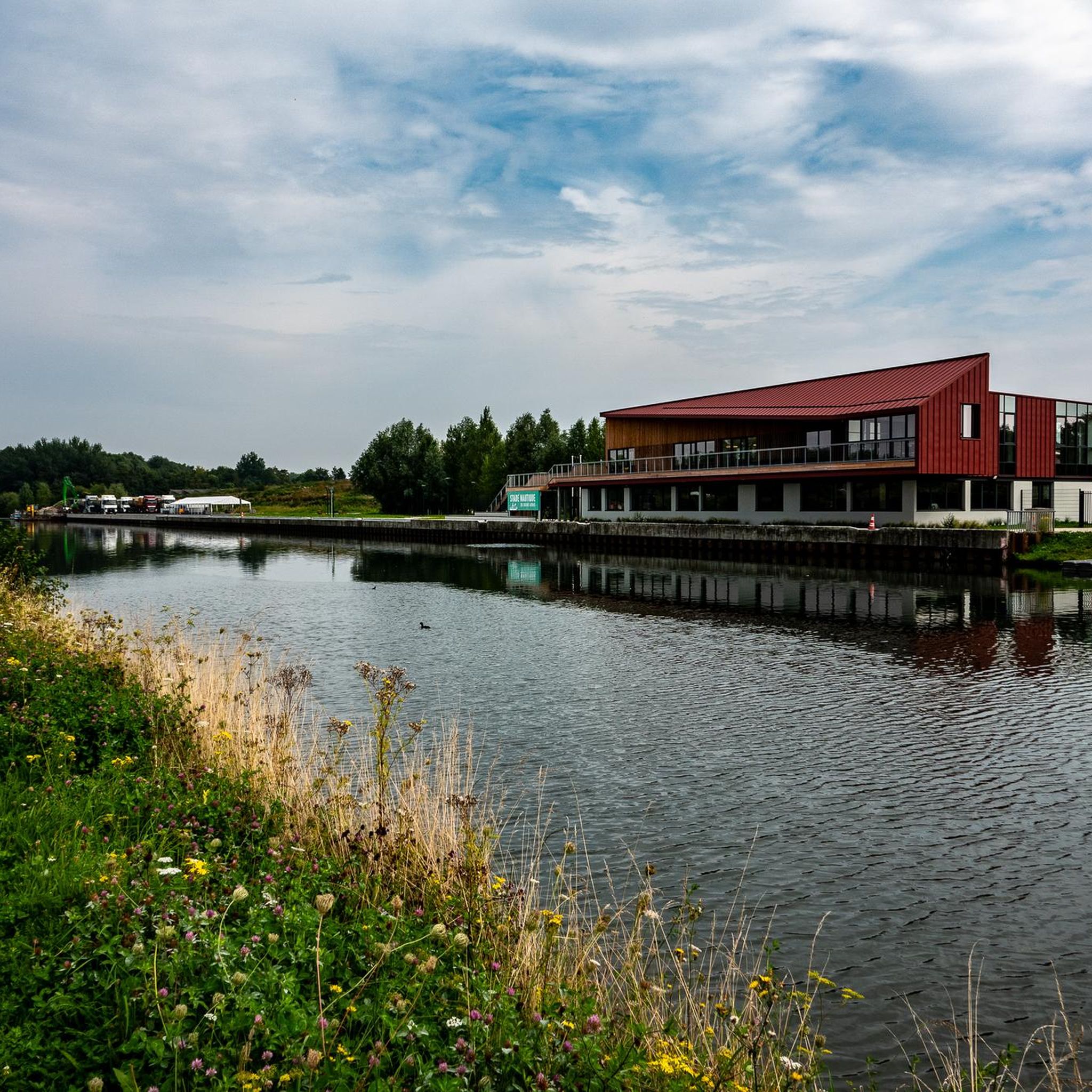
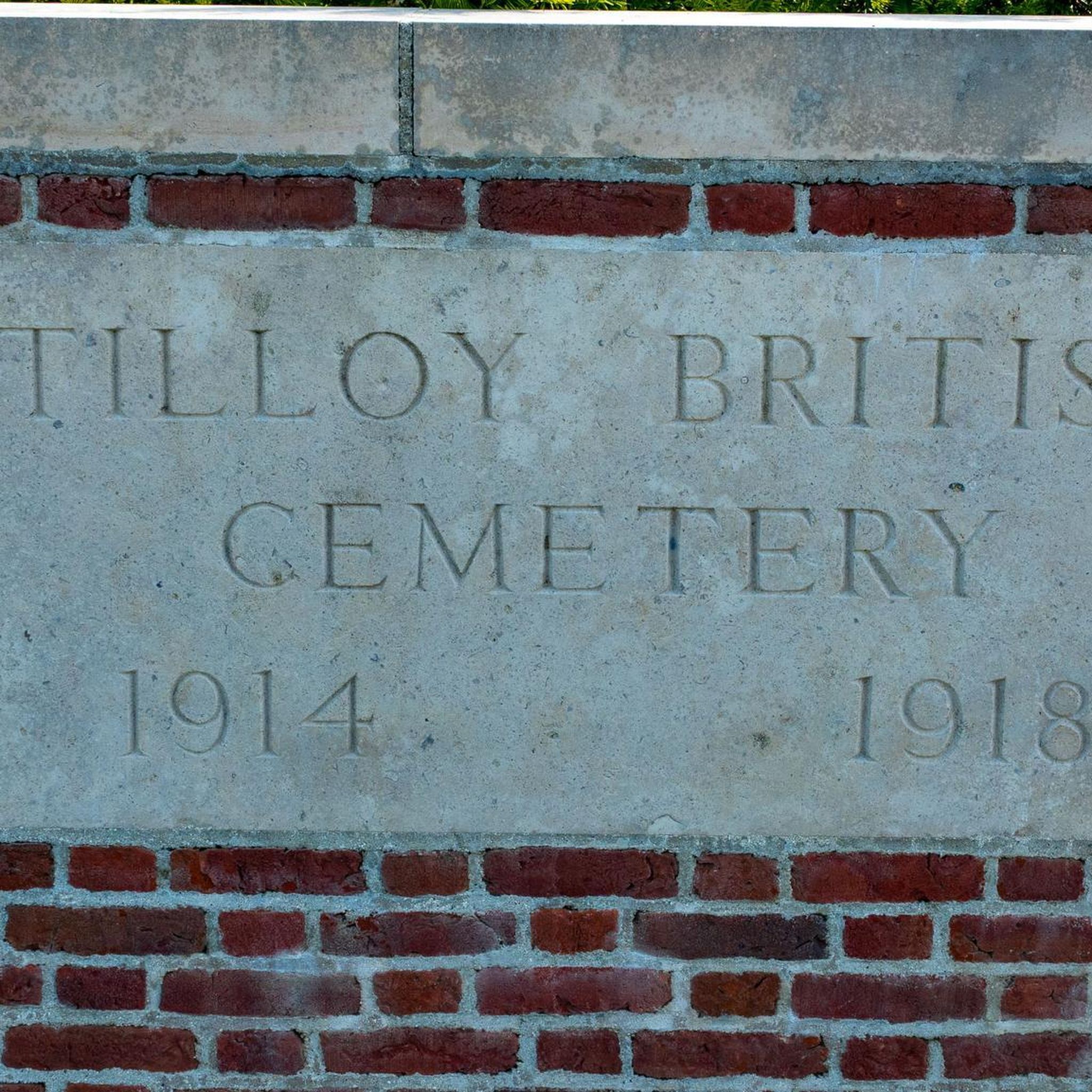

Tips from the Community


End of the trip at this villa in Vitry en Artois
0
0

The Maroeuil Marsh natural area offers a pleasant walk along the Scarpe River, with interesting flora and fauna. The signposting is illustrated by the small Vertigo de Des Moulins snail, which you can try to spot on the marsh plants.
0
0

Le Jardin Minelle is fed by spring water and has a central water feature which is a meeting place for various birds such as moorhens, ducks and swans. It is a beautiful place to walk or enjoy nature.
6
0
The Nécropole nationale de Notre-Dame-de-Lorette is one of the largest and most impressive military cemeteries in France. Situated on a hill in Ablain-Saint-Nazaire, this cemetery contains the graves of more than 42,000 soldiers who died during the First World War. The cemetery was inaugurated in 1925 and includes a basilica, a tower-lantern and a museum.
7
0


a very pleasant treetop adventure course is taking shape on this route inside the citadel
2
0

The church dedicated to the Mother of God under the title "Notre-Dame de Lorette" rises in brilliant white and is visible from far away. But the brilliant impression is deceptive, at the latest when the visitor to the site realizes that they are in a huge military cemetery. Around 20,000 individual graves and a further 23,000 victims of war and tyranny buried in ossuaries are deeply disturbing.
3
0
Frequently Asked Questions
How many gravel bike trails are available around Tilloy-Lès-Mofflaines?
There are 59 gravel bike trails available around Tilloy-Lès-Mofflaines, offering a wide range of options for different skill levels.
What kind of terrain can I expect on gravel bike trails near Tilloy-Lès-Mofflaines?
The terrain around Tilloy-Lès-Mofflaines is generally gently undulating, with elevations ranging from 54 to 102 meters. You'll find a mix of wooded areas, open countryside, and unpaved paths, including forest roads and small country roads, providing a varied gravel biking experience.
Are there any family-friendly gravel biking options in the area?
Yes, the region's generally gentle terrain makes it suitable for family outings. There are 11 easy gravel bike routes available. The local Parc du Manoir (also known as Parc René Lefrère) offers walking paths and surrounding wooded areas that could be suitable for a leisurely family ride.
What are some notable landmarks or points of interest I can see along the gravel bike routes?
Many routes in the area incorporate historical sites, particularly those related to World War I. You might encounter landmarks such as the Canadian National Vimy Memorial or the Towards the Canadian trenches of Vimy. The Arras Citadel is also a significant historical site nearby.
Are there any circular gravel bike routes starting near Tilloy-Lès-Mofflaines?
Yes, many of the gravel bike routes in the area are designed as loops. For example, you can explore the The Scarpe by bike – Canadian Trail loop from Arras, which is a 50.7-mile (81.6 km) route, or the St John the Baptist Church – Mont Hernu cycle path loop from Arras, a moderate 30.0-mile (48.3 km) path.
What is the best time of year for gravel biking in Tilloy-Lès-Mofflaines?
The Hauts-de-France region generally offers good conditions for cycling from spring through autumn. Spring and early autumn provide pleasant temperatures and beautiful scenery. While specific permits are not typically required for general gravel biking, it's always wise to check local conditions, especially after heavy rain, as unpaved paths can become muddy.
What do other gravel bikers enjoy most about the trails in Tilloy-Lès-Mofflaines?
The area is highly rated by the komoot community, with an average score of 4.5 stars from over 30 reviews. Reviewers often praise the varied terrain, the blend of wooded areas and open countryside, and the unique opportunity to combine outdoor activity with historical exploration, particularly along routes that pass World War I remembrance sites.
Are there routes suitable for advanced gravel bikers?
Yes, among the 59 available routes, there are 12 difficult gravel bike routes for experienced riders seeking more challenging terrain or longer distances. An example is the Citadel Paths of Arras – St John the Baptist Church loop from Arras, which is a 34.0-mile (54.8 km) route with significant elevation.
Can I access these gravel trails using public transport?
Tilloy-lès-Mofflaines is located southeast of Arras, a city with established public transport links. While direct public transport to specific trailheads within Tilloy-lès-Mofflaines might be limited, you can likely reach Arras by train or bus and then cycle to the starting points of many routes. It's advisable to check local bus schedules for connections from Arras to Tilloy-lès-Mofflaines.
Where can I find parking for gravel biking near Tilloy-Lès-Mofflaines?
While specific parking areas for cyclists are not explicitly detailed for every trailhead, given its proximity to Arras, you can often find parking in or around the commune of Tilloy-lès-Mofflaines or in Arras itself. Many routes start from urban or semi-urban areas where public parking is available. It's recommended to check the starting point of your chosen route on komoot for specific parking suggestions.
Are there any routes that follow river valleys?
Yes, some routes in the area lead through river valleys. For instance, the Les Bonnettes – The Scarpe by bike loop from Arras is a 33.4-mile (53.7 km) trail that specifically leads through river valleys and open fields, offering scenic views along the water.
Most popular routes around Tilloy-Lès-Mofflaines
Most popular attractions around Tilloy-Lès-Mofflaines

Get inspired with the komoot mobile app


Explore more
Browse the best Gravel rides in other regions.
