The best walks and hikes around Tilloy-Lès-Mofflaines
4.5
(478)
4,264
hikers
281
hikes
Hiking around Tilloy-Lès-Mofflaines offers diverse landscapes, blending agricultural plains with significant wooded areas like Petit Bois and Bois Poulet. The region is characterized by its position within the Val de Scarpe, featuring tranquil blue lakes, small meandering streams, and marshlands. Hikers can expect varied topography, ranging from flat sections along canals to more undulating, hilly terrain.
Best hiking trails around Tilloy-Lès-Mofflaines
- The most popular hiking route is Citadelle d'Arras — loop from Beaurains, a 13.5 miles (21.6 km) trail…
Last updated: June 30, 2026
4.4
(5)
15
hikers
21.6km
05:34
100m
100m
Hard hike. Very good fitness required. Easily-accessible paths. Suitable for all skill levels.
4.4
(7)
88
hikers
Moderate hike. Good fitness required. Easily-accessible paths. Suitable for all skill levels.

Sign up for free
4.5
(6)
79
hikers
4.67km
01:11
10m
10m
Easy hike. Great for any fitness level. Easily-accessible paths. Suitable for all skill levels.
4.8
(8)
34
hikers
11.2km
02:53
50m
50m
Moderate hike. Good fitness required. Easily-accessible paths. Suitable for all skill levels.
2.7
(3)
25
hikers
17.4km
04:29
90m
90m
Moderate hike. Good fitness required. Easily-accessible paths. Suitable for all skill levels.
Get access to more routes and recommendations from other explorers.
Sign up for free
Already have an account?
Our route recommendations are based on thousands of hikes, rides, and runs completed by other people on komoot.
Start today with a free account
Your next adventure awaits.
Login or Signup


Tips from the Community


Between Crinchon and family gardens, a peaceful route ideal for strolling.
1
0

Saint-Paul and kayaking that walks at the same time as you
1
0
a very pleasant treetop adventure course is taking shape on this route inside the citadel
2
0

Organized hike, lots of fields, no forest, shame 😏
0
0

Always wonderful to walk along the waterfront.
1
0
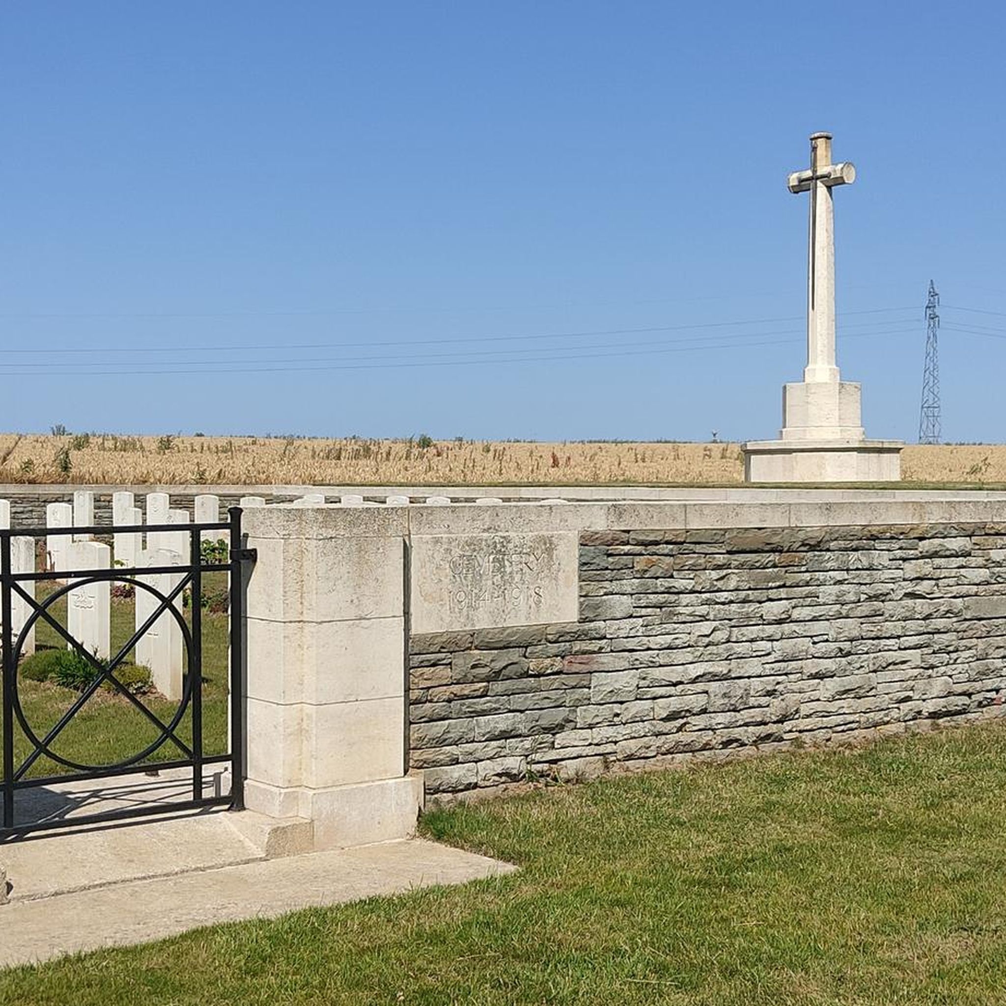
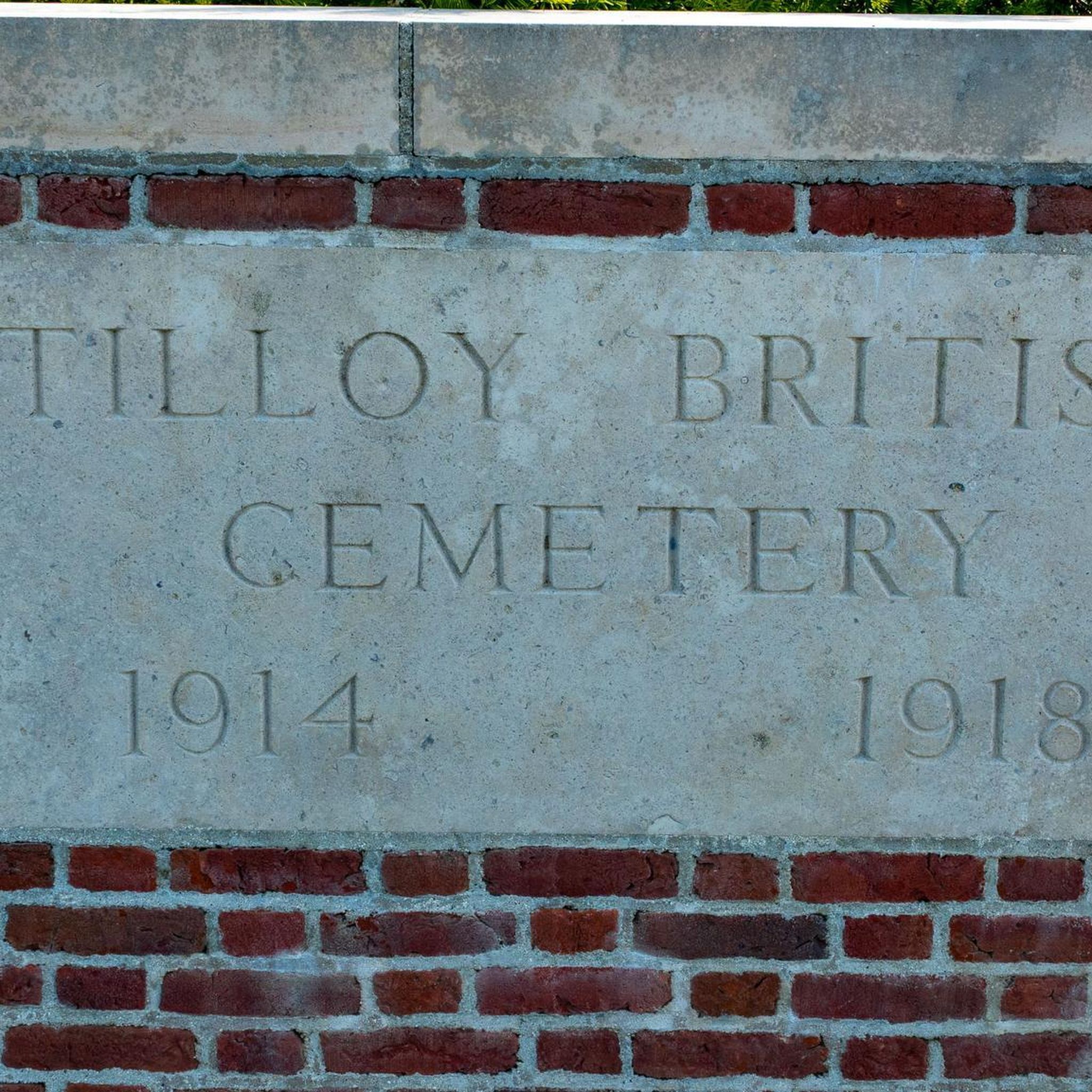
Historical interpretation: The village of Tilly-les-Mofflaines was captured by Commonwealth troops on April 9, 1917, but was again partially in German hands from March to August 1918. "Houdain Lane" was a trench in the area between Tilloy and Feuchy. The cemetery was established in April 1917 by units of the 12th (Eastern), 15th (Scottish) and 37th Divisions. The cemetery contains 76 graves from the First World War.
1
0
An oasis of peace... The Parc des Grandes Prairies, which of course makes up a small part of Arras in Sainte-Catherine-lès-Arras, is one of the largest natural areas on the continent. It was inaugurated in 1984 and has developed over the years into a true haven for nature lovers looking for relaxation and tranquility.
1
0
Frequently Asked Questions
How many hiking trails are available around Tilloy-Lès-Mofflaines?
There are over 270 hiking routes in and around Tilloy-Lès-Mofflaines. This includes a wide range of options, with 131 easy, 132 moderate, and 12 difficult trails, ensuring there's something for every skill level.
What kind of landscapes can I expect to see while hiking in Tilloy-Lès-Mofflaines?
Hikers in Tilloy-Lès-Mofflaines will experience diverse landscapes, from agricultural plains and significant wooded areas like Petit Bois and Bois Poulet to tranquil blue lakes, small meandering streams, and marshlands. The region's position within the Val de Scarpe offers a mix of flat sections along canals and more undulating, hilly terrain.
Are there any family-friendly hiking options in Tilloy-Lès-Mofflaines?
Yes, Tilloy-Lès-Mofflaines offers many easy trails suitable for families. For a shorter, accessible walk, consider the V362 Greenway Along the Canal loop from Arras, which is 4.7 km long and takes about 1 hour 11 minutes, following pleasant waterside paths.
What are some notable landmarks or historical sites I can visit near the hiking trails?
The area around Tilloy-Lès-Mofflaines is rich in history. You can explore sites like the Canadian National Vimy Memorial, a significant World War I site, or the Arras Citadel. Many trails, such as the Citadelle d'Arras — loop from Beaurains, pass by these historical monuments.
Are there any circular hiking routes available?
Yes, many routes in the region are circular. An example is the Marais de Roeux – Chemin de Halage loop from Tilloy-lès-Mofflaines, a moderate 18.9 km trail that allows you to return to your starting point without retracing your steps.
What do other hikers enjoy most about the trails in Tilloy-Lès-Mofflaines?
The trails in Tilloy-Lès-Mofflaines are highly rated by the komoot community, with an average score of 4.5 stars from over 400 reviews. Hikers often praise the diverse scenery, which includes peaceful canal-side paths, lush woodlands, and open agricultural fields, offering a varied and engaging outdoor experience.
Are there any trails that feature water elements like canals or rivers?
Absolutely. The region is known for its water features. The Rivage Quay – V362 Greenway Along the Canal loop from Saint-Laurent-Blangy is a moderate 9.3 km path that specifically follows waterside greenways, showcasing the area's natural marshlands and canals.
What is the longest hiking trail in the area?
One of the longer and more challenging routes is the Citadelle d'Arras — loop from Beaurains. This difficult trail spans 21.6 km and typically takes around 5 hours and 34 minutes to complete, offering a comprehensive exploration of urban and rural scenery.
Can I find trails that combine both natural scenery and urban elements?
Yes, some routes offer a blend of both. The Citadelle d'Arras — loop from Beaurains, for instance, circles Arras and passes historical monuments like the Citadel, providing a unique mix of urban exploration and natural paths.
Are there any trails suitable for mountain biking that also offer good views?
While this guide focuses on hiking, the region is also popular for cycling. The 'Circuit des éoliennes autour de Croisilles' is a VTT (mountain biking) circuit that takes participants through diverse landscapes, potentially offering views of wind turbines and the surrounding countryside.
What is the general topography of the hiking trails in Tilloy-Lès-Mofflaines?
The topography varies, offering a good mix for hikers. You'll find relatively flat sections, particularly along canal towpaths and agricultural plains, but also more undulating, hilly terrain as you venture into wooded areas and the transitional landscapes of the Val de Scarpe.
Are there any trails that lead through significant wooded areas?
Yes, Tilloy-Lès-Mofflaines is known for its significant wooded areas. Trails often pass through natural features like Petit Bois and Bois Poulet, providing shaded paths and opportunities to experience the local biodiversity.
Most popular routes around Tilloy-Lès-Mofflaines
Most popular attractions around Tilloy-Lès-Mofflaines

Get inspired with the komoot mobile app


Explore more
Browse the best Hikes in other regions.
