The best gravel rides around La Gohannière
5.0
(1)
59
riders
7
rides
Gravel biking around La Gohannière, a former commune in Normandy, France, offers diverse landscapes for exploration. The region is characterized by a mix of paved and unpaved surfaces, including tranquil bocages, river valleys, and paths with views of Mont-Saint-Michel Bay. The topography ranges from 12 meters to 137 meters, providing varied terrain suitable for gravel biking. This area provides access to an extensive network of cycle routes within the Manche department.
Best gravel bike trails around La Gohannière
- The most…
Last updated: July 2, 2026
26
riders
Moderate gravel ride. Good fitness required. Mostly paved surfaces. Suitable for all skill levels.
12
riders
Moderate gravel ride. Good fitness required. Mostly paved surfaces. Suitable for all skill levels.

Sign up for free
5.0
(1)
7
riders
47.9km
02:58
520m
520m
Hard gravel ride. Very good fitness required. Mostly paved surfaces. Suitable for all skill levels.
7
riders
37.9km
01:59
270m
270m
Moderate gravel ride. Good fitness required. Mostly paved surfaces. Suitable for all skill levels.
7
riders
31.0km
01:48
120m
120m
Easy gravel ride. Great for any fitness level. Mostly paved surfaces. Suitable for all skill levels.
Get access to more routes and recommendations from other explorers.
Sign up for free
Already have an account?
Our route recommendations are based on thousands of hikes, rides, and runs completed by other people on komoot.
Start today with a free account
Your next adventure awaits.
Login or Signup
Tips from the Community

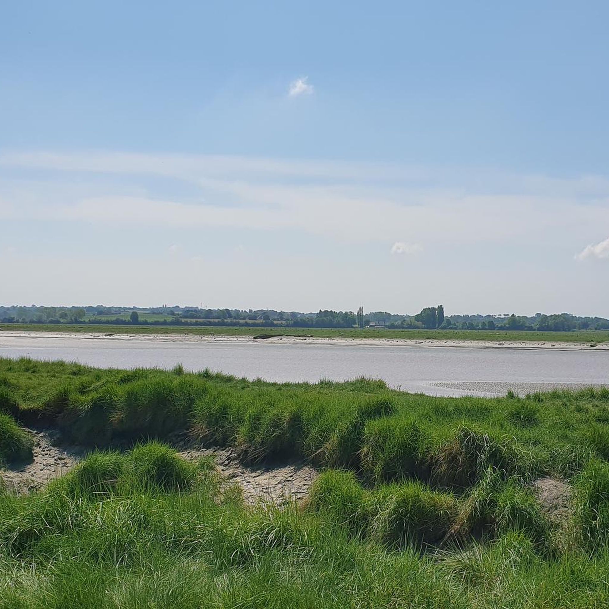
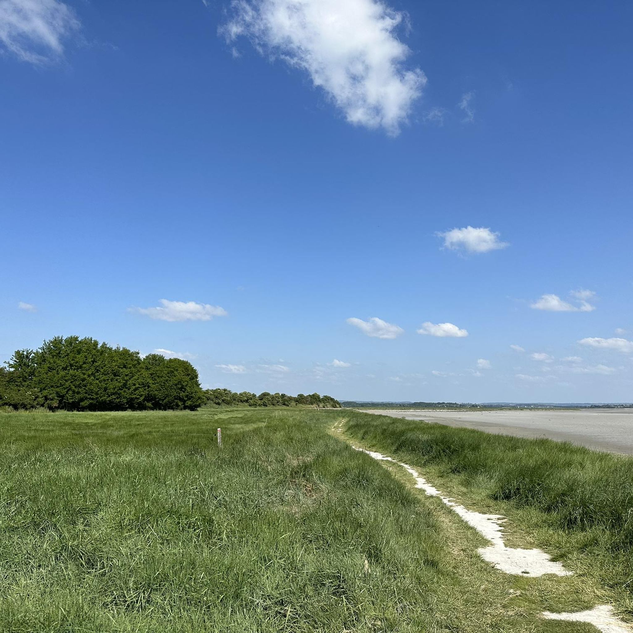
During very high tides, your wheels may be in the water.
0
0

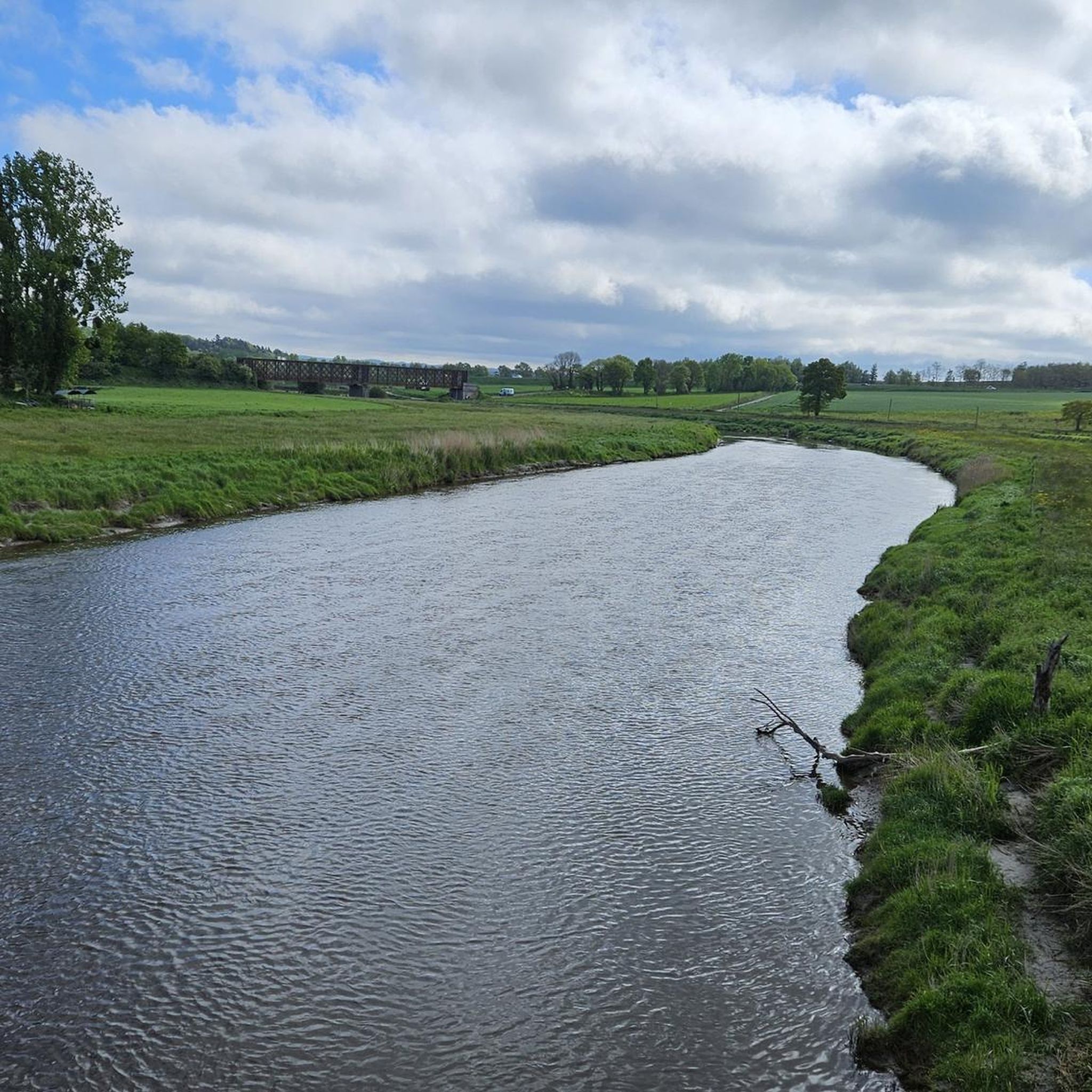
A beautiful picnic area with tables and benches among the trees on the banks of the Selen River. There are even restrooms. The area is very spacious.
1
0

Beautiful route but there are no water points for the cans! Otherwise it's magnificent
0
0

great spot just past here to stop for a coffee or 2km further on in Isigby Le but there is a Boulangerie and a tabac for great sandwiches and coffee there is also a coccimarket
0
0
Open Sunday, very good bread etc. Sandwiches
0
0

A bridge with a long history! Even the Romans passed along here! And at the end of World War II, American troops passed through here to liberate France. Today, people make pilgrimages past the bridge on their way to Mont St. Michel.
1
0
And we saw the 15th edition of the art trails! So many creative ideas!
0
0

Frequently Asked Questions
What kind of terrain can I expect on gravel bike trails around La Gohannière?
Gravel biking around La Gohannière offers a diverse mix of paved and unpaved surfaces. You'll encounter tranquil bocages (agricultural plots surrounded by hedges), river valleys, and paths that provide scenic views, often including Mont-Saint-Michel Bay. The routes are ideal for gravel bikes designed to handle varied ground conditions.
How many gravel bike routes are available in the La Gohannière area?
There are over 10 gravel bike routes available around La Gohannière, with options ranging from moderate to difficult. In total, the komoot community has explored 13 routes in this area.
Are there any challenging gravel bike routes for experienced riders?
Yes, for experienced riders seeking a challenge, the Sélune Riverbank – Pontaubault Bridge loop from Avranches is a difficult route. It covers 47.9 km and features over 500 meters of elevation gain along the Sélune River.
Can I find routes with views of Mont-Saint-Michel Bay?
Absolutely! Many routes in the area offer stunning views of Mont-Saint-Michel Bay. A popular moderate option is the View of Mont Saint-Michel Bay – Saint-Jean-le-Thomas Beach loop from Avranches, which is 44.5 km long and provides beautiful coastal scenery.
What are some notable landmarks or attractions I might see along the gravel bike routes?
Several routes pass by interesting landmarks. You might encounter the historic Pontaubault Bridge, or cycle near the Banks of the Sélune at Pontaubault. The broader region also features sites like Montgommery Castle and Château d'Avranches.
What do other gravel bikers say about the routes in La Gohannière?
The routes in La Gohannière are highly regarded by the komoot community, holding an impressive average rating of 4.8 stars from over 13 reviews. Riders often praise the varied terrain, scenic views, and the overall quality of the cycling experience.
Are there any longer gravel bike routes available?
Yes, if you're looking for a longer ride, consider the Pontaubault Bridge – View of Mont Saint-Michel Bay loop from Avranches. This moderate route spans 51.5 km and takes approximately 3 hours 20 minutes to complete, leading through river valleys and coastal areas.
What is the best time of year for gravel biking in La Gohannière?
The Manche department, where La Gohannière is located, offers pleasant conditions for cycling through much of the year. Spring and autumn generally provide mild temperatures and beautiful landscapes. Summer can also be great, but be mindful of potential heat, especially on longer routes.
Are there any routes that follow riverbanks?
Yes, several routes incorporate river sections. For example, the Le Grand Port – Gilbert Bridge over the Sée loop from Avranches is a moderate 37.1 km route that follows the Sée river. Another option is the Pontaubault Bridge – Sélune Riverbank loop from Avranches.
What are the general elevation gains like on the gravel routes?
The elevation gains vary depending on the route's difficulty. Moderate routes typically have elevation gains between 150m and 270m, while more difficult routes, like the Sélune Riverbank – Pontaubault Bridge loop from Avranches, can feature over 500 meters of cumulative elevation.
Is La Gohannière well-connected to a larger cycling network?
Yes, La Gohannière's strategic location within the Manche department provides access to an extensive network of cycle routes. The broader region boasts over 1,200 km of cycle routes and 230 km of greenways, including routes like the 210 km Cherbourg-Granville gravel bike route. For more information on regional cycling, you can visit Manche Tourism.
What kind of natural features can I expect to see while cycling in the region?
Beyond the bocages and river valleys, the Manche department offers diverse natural beauty. You might encounter coastal landscapes with cliffs and sandy beaches, such as those near Granville, or the preserved wetland ecosystems of the Cotentin and Bessin marshes. Forests like Forêt de Saint-Sever are also within reach for further exploration.
Most popular routes around La Gohannière
Most popular attractions around La Gohannière

Get inspired with the komoot mobile app


Explore more
Browse the best Gravel rides in other regions.
