The best cycling routes around La Gohannière
4.4
(184)
3,975
riders
46
rides
Touring cycling around La Gohannière is characterized by a bocage landscape, featuring mixed woodland, pastures, fields, and hedgerows. The terrain is gently undulating, with elevations ranging from 12 meters to 137 meters, making it suitable for various fitness levels. This area is situated within the Avranchin region, offering access to extensive countryside and proximity to the Manche department's 670 km of coastline. The region's well-maintained road networks generally have low traffic, facilitating exploration by bicycle.
Best touring cycling routes around…
Last updated: May 24, 2026
4.5
(11)
95
riders
Moderate bike ride. Good fitness required. Mostly paved surfaces. Suitable for all skill levels.
5.0
(1)
109
riders
Easy bike ride. Great for any fitness level. Mostly paved surfaces. Suitable for all skill levels.

Sign up for free
4.7
(9)
55
riders
28.5km
01:51
210m
210m
Moderate bike ride. Good fitness required. Mostly paved surfaces. Suitable for all skill levels.
4.3
(8)
30
riders
22.4km
01:23
150m
150m
Moderate bike ride. Good fitness required. Mostly paved surfaces. Suitable for all skill levels.
14
riders
47.7km
03:37
700m
700m
Hard bike ride. Very good fitness required. You may need to push your bike for some segments of this route.
Get access to more routes and recommendations from other explorers.
Sign up for free
Already have an account?
Our route recommendations are based on thousands of hikes, rides, and runs completed by other people on komoot.
Start today with a free account
Your next adventure awaits.
Login or Signup

Tips from the Community

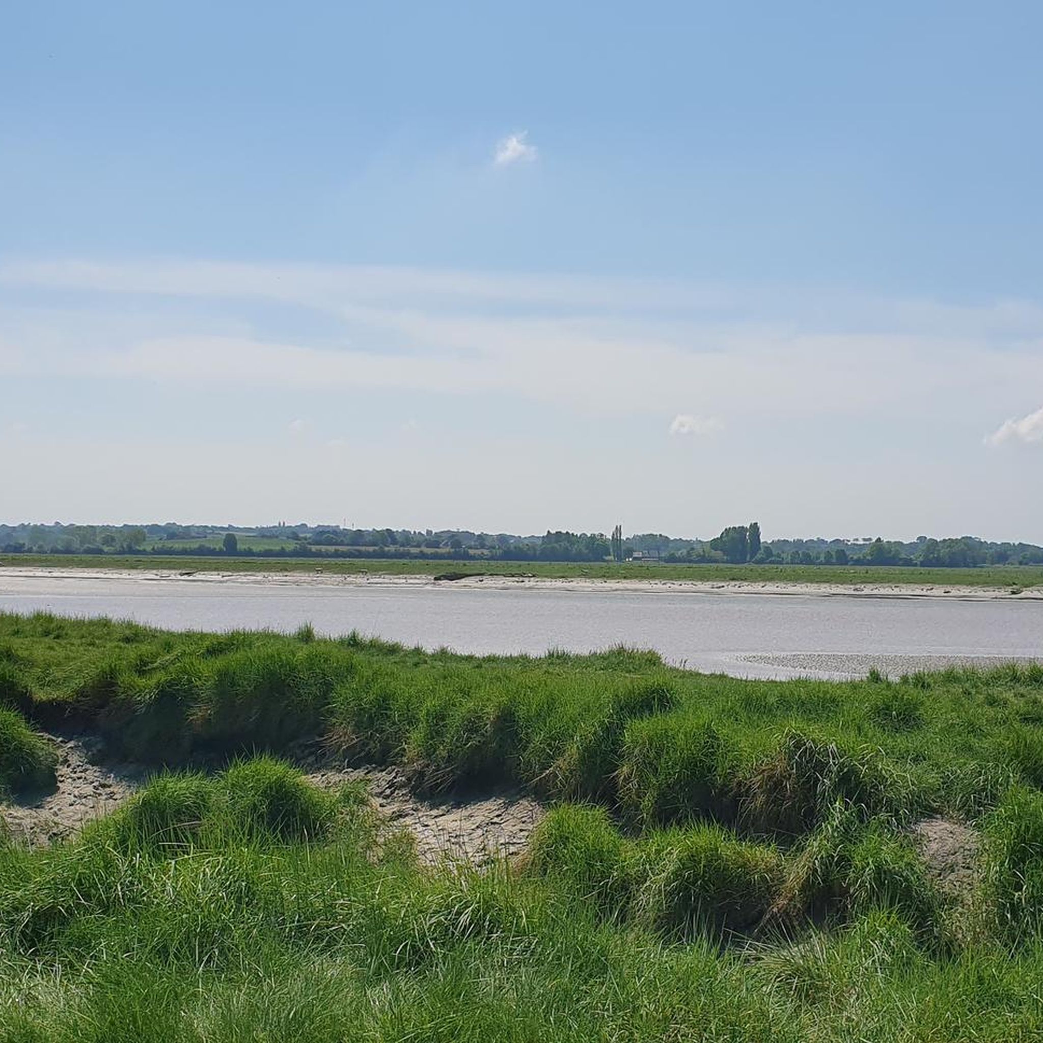
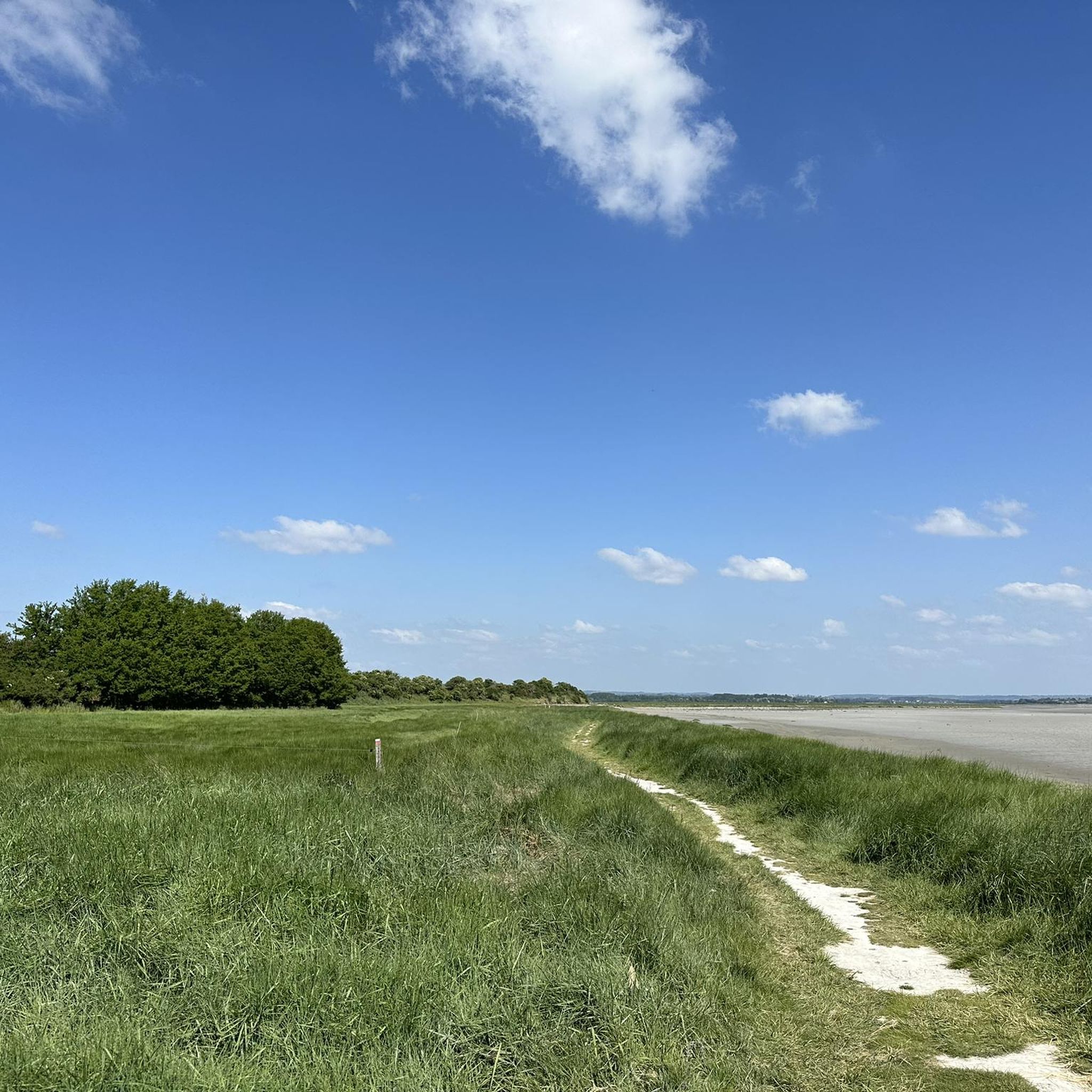
The Grouin du Sud is a natural headland offering impressive views of the bay and the famous Klosterberg. Depending on the tide, the landscape alternates between vast mudflats and ocean views, making the place particularly charming.
1
0

A beautiful picnic area with tables and benches among the trees on the banks of the Selen River. There are even restrooms. The area is very spacious.
1
0

Beautiful route but there are no water points for the cans! Otherwise it's magnificent
0
0

A bridge with a long history! Even the Romans passed along here! And at the end of World War II, American troops passed through here to liberate France. Today, people make pilgrimages past the bridge on their way to Mont St. Michel.
1
0

The “Pont de Pontaubault” is a beautiful work of art, the construction of which dates back to the 15th century. It is the first bridge to cross the Sélune, between Saint-Quentin-sur-le-Homme (right bank) and Pontaubault (left bank). It is located on the old road from Avranches to Rennes, via Saint-James. Since the arrival of the A84 motorway it has mainly been used locally. The bridge has eleven arches and is built with stone masonry. There is a picnic area at the bridge, near the railway viaduct of the Caen-Rennes line, not far from the salt meadows where sheep graze. During big tides many spectators and kayakers come to enjoy the spectacle provided by the tide. The bridge has a rich history. It was bombed several times during World War II but withstood these attacks, allowing 100,000 men and 1,500 vehicles to cross. A memorial plaque recalls that "the fate of the war lay on this bridge".
3
1
The “Pont Gilbert - Passerelle de la Sée” is a pedestrian and bicycle bridge that connects Avranches and Marcey-les-Grèves. This bridge is located on the site of a historic bridge and has a ramp for a gentle climb and easy crossing to the other side of the river. It is a very useful bridge and recommended by cyclists. The bridge is also one of the highlights in the Vernix region.
4
0
Also known as the Manuscript City, Avranches invites visitors to explore the manuscript museum of Mont-Saint-Michel. The Scriptorial of Avranches houses this prestigious collection of medieval manuscripts2. A written heritage of exceptional value… and absolutely worth discovering! Not to be missed: the botanical garden, with orientation table, which offers a beautiful view over the bay of Mont-Saint-Michel.
4
0

Beautiful place. Because of the perfect view of Mont St Michel. You can see the rock beautifully in the middle of the water.
1
0
Frequently Asked Questions
How many touring cycling routes are available around La Gohannière?
There are over 60 touring cycling routes around La Gohannière, offering a wide variety of options for different skill levels and preferences. The komoot community has explored these routes over 5,000 times.
What are the typical difficulty levels for touring cycling in this region?
The routes around La Gohannière cater to various abilities. You'll find a good mix, with about 11 easy routes perfect for a relaxed ride, 36 moderate routes for those seeking a bit more challenge, and 14 difficult routes for experienced cyclists looking for a more demanding tour.
Are there any family-friendly cycling routes near La Gohannière?
Yes, there are several easy routes suitable for families. For instance, the Beautiful photo motif – Voie verte de la Véloscénie loop from Marcilly is an easy 9.5-mile (15.2 km) path that offers a gentle ride through the local landscape, perfect for a family outing.
What kind of landscapes can I expect to see while touring cycling around La Gohannière?
La Gohannière is characterized by a 'bocage' landscape, featuring a picturesque mix of woodland, pastures, fields, and hedgerows. The terrain is gently undulating, providing scenic and varied routes. The broader Manche department also offers diverse scenery, from coastal paths to rural routes, and is close to the iconic Mont Saint-Michel.
What are some notable attractions or landmarks I can visit along the cycling routes?
Many routes offer access to interesting sights. You can cycle past the historic Pontaubault Bridge, explore the area around Montgommery Castle, or visit the Château d'Avranches. The Banks of the Sélune at Pontaubault also offer a pleasant stop.
Are there any circular cycling routes available?
Yes, many of the touring cycling routes around La Gohannière are designed as loops, allowing you to start and end at the same point. An example is the Pontaubault Bridge – Basilica of Saint-Gervais loop from Avranches, a popular moderate route.
What do other touring cyclists enjoy most about cycling in La Gohannière?
The area is highly rated by the komoot community, with an average score of 4.4 stars from over 270 reviews. Cyclists often praise the tranquil bocage landscapes, the well-maintained road networks with generally low traffic, and the diverse routes that cater to different skill levels.
What is the best season for touring cycling in La Gohannière?
The region's gently undulating terrain and varied landscapes make it enjoyable for touring cycling across multiple seasons. Spring and autumn offer pleasant temperatures and beautiful scenery, while summer provides longer daylight hours. The bocage landscape ensures varied views throughout the year.
Are there routes that offer scenic viewpoints, especially of Mont Saint-Michel?
Absolutely. The region's proximity to Mont Saint-Michel means you can find routes with stunning views. The View of Mont Saint-Michel Bay – View of Mont Saint Michel loop from Avranches is a moderate route specifically designed to offer picturesque vistas of this iconic UNESCO World Heritage site.
What are some options for longer, more challenging touring bike routes?
For those seeking a more demanding ride, there are several difficult routes available. An example is the Wooden Bridge Over Stream loop from Vernix, which covers nearly 48 km (30 miles) with significant elevation gain, offering a challenging experience for advanced cyclists.
Where can I find parking or starting points for bike tours?
Many routes start from towns and villages in the area, such as Avranches, Marcilly, or Saint-Quentin-sur-le-Homme, where public parking is generally available. The well-maintained road networks outside urban centers also facilitate easy access to various trailheads.
Is La Gohannière well-connected to larger cycling networks?
Yes, La Gohannière is situated within the Manche department, which is well-regarded for its cycling infrastructure. The region connects to larger networks like the Vélobuissonnière, a 250km cycle route that links Normandy to the Loire Valley, passing through diverse landscapes and historical sites. You can find more information on regional cycling networks at France Vélo Tourisme.
Most popular routes around La Gohannière
Most popular attractions around La Gohannière

Get inspired with the komoot mobile app


Explore more
Browse the best Cycling routes in other regions.
