The best gravel rides around Moosch
4.7
(10)
172
riders
24
rides
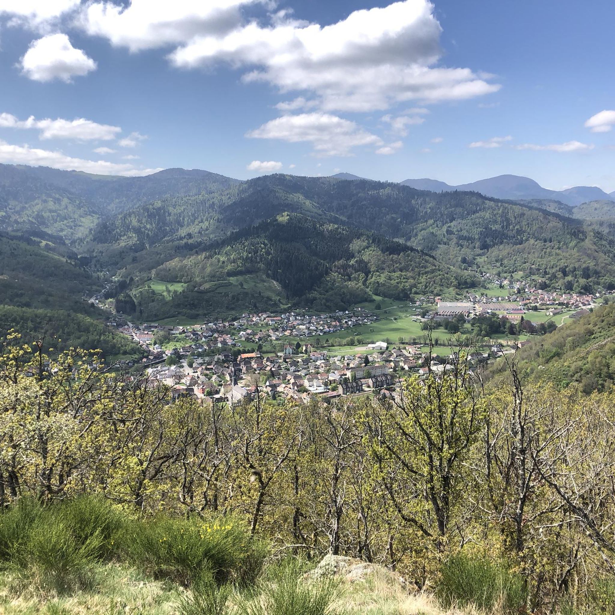
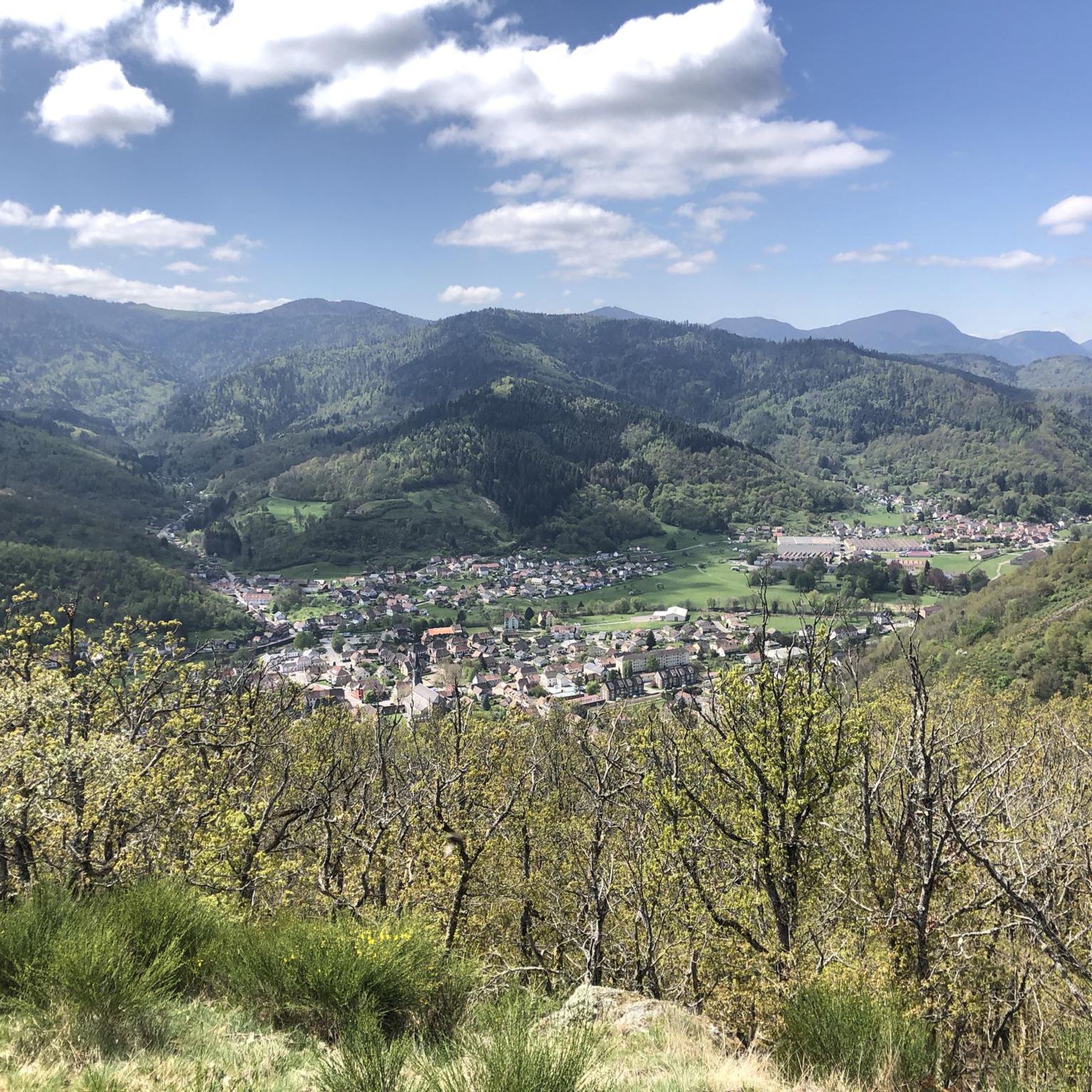
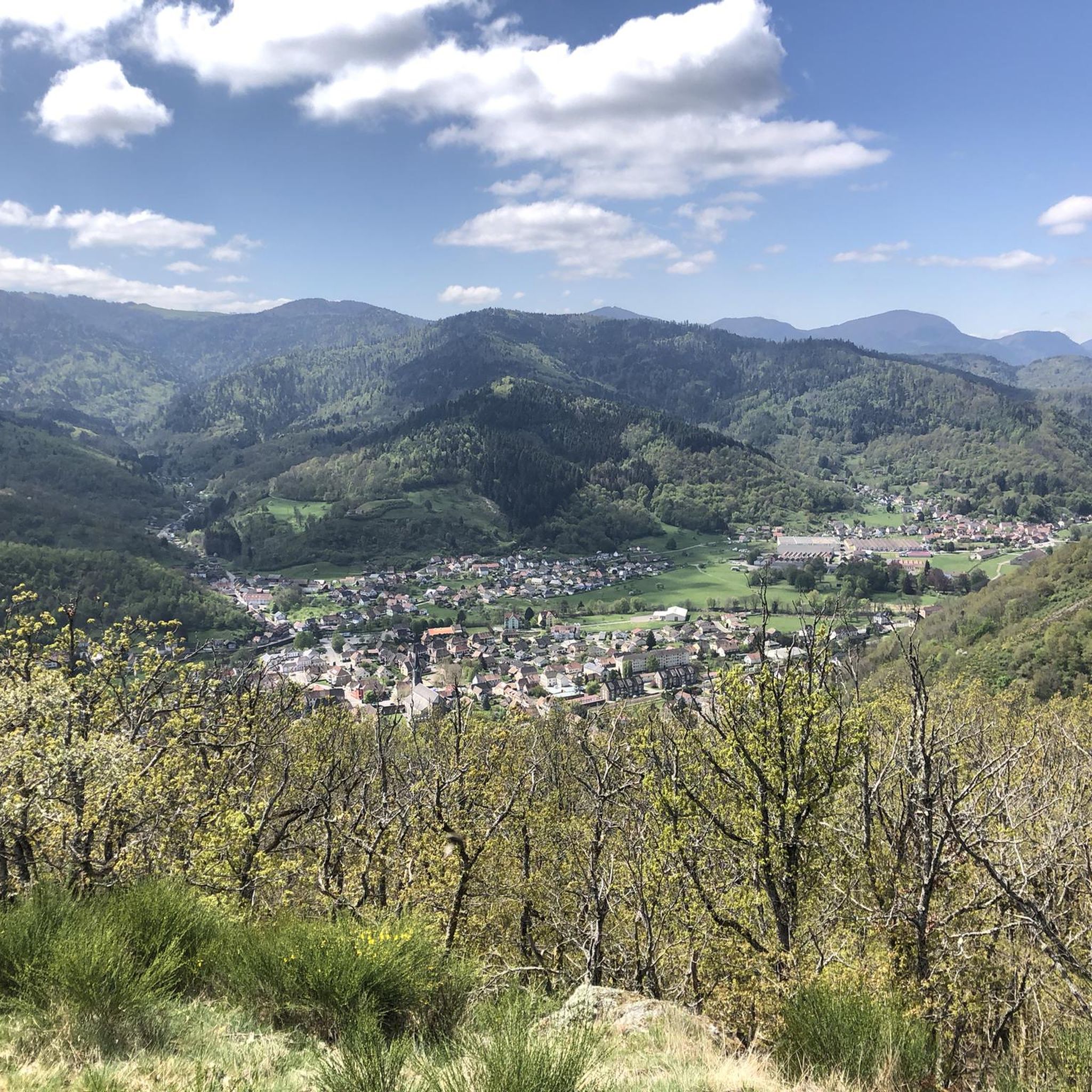
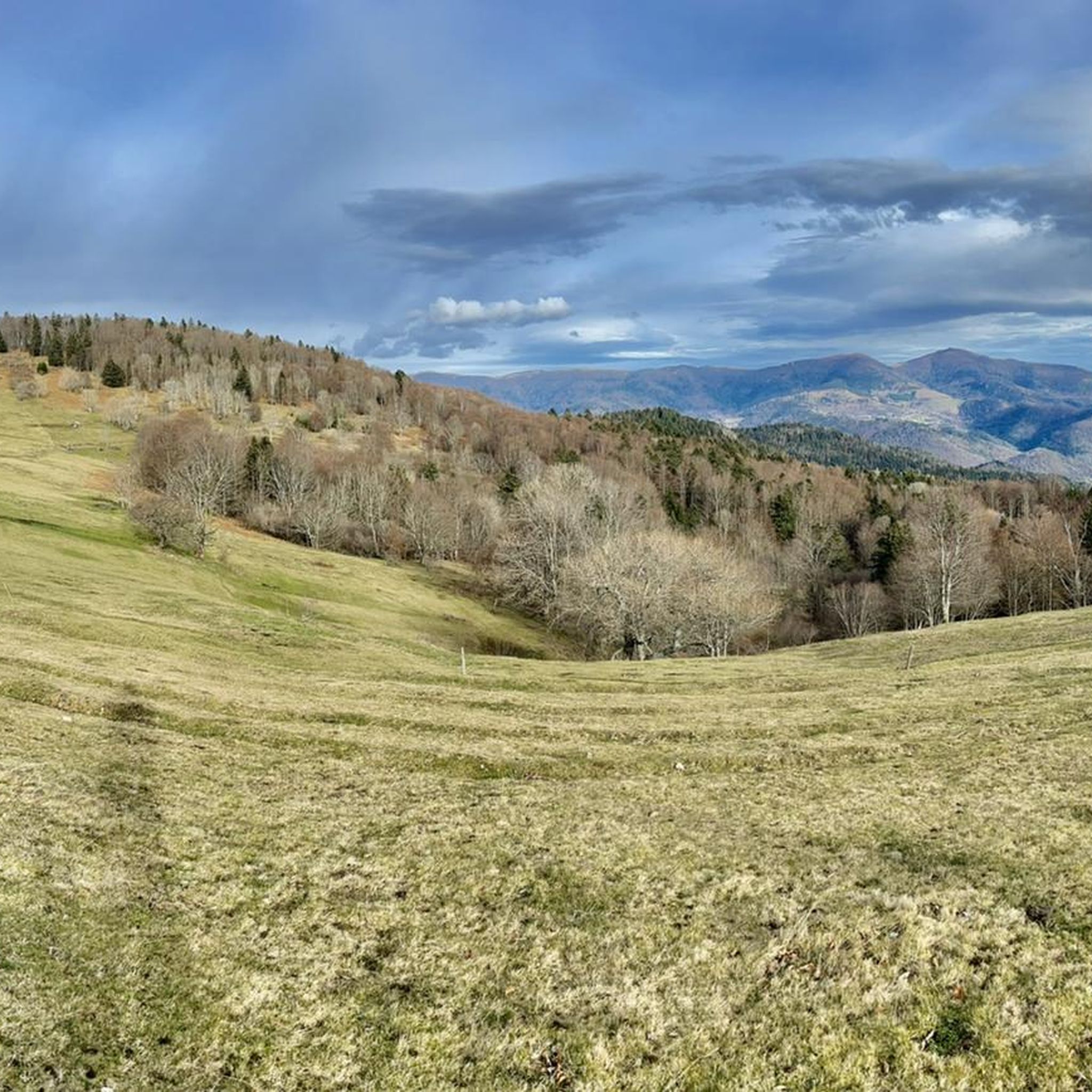
Gravel biking around Moosch offers diverse terrain within the Haut-Rhin department, situated at the gateway to the Ballons des Vosges Natural Park. The region is characterized by dense forests, numerous valleys, and picturesque ridges, with elevations leading up to the Vosges Mountains. Geological features include areas of pink sandstone, grey granite, and ochre-colored earth, providing varied surfaces for gravel routes. The topography includes significant elevation changes, with routes often traversing challenging climbs and descents.
Best gravel bike trails around Moosch
…Last updated: July 3, 2026
5.0
(2)
14
riders
16.1km
01:22
530m
530m
Hard gravel ride. Very good fitness required. Mostly paved surfaces. Suitable for all skill levels.
5.0
(1)
9
riders
20.1km
01:40
630m
630m
Hard gravel ride. Very good fitness required. Mostly paved surfaces. Suitable for all skill levels.

Sign up for free
9
riders
72.3km
06:17
1,910m
1,910m
Hard gravel ride. Very good fitness required. Mostly paved surfaces. Suitable for all skill levels.
5.0
(1)
18
riders
74.2km
05:09
1,300m
1,300m
Hard gravel ride. Very good fitness required. Mostly paved surfaces. Suitable for all skill levels.
4.0
(1)
6
riders
26.7km
01:46
310m
310m
Moderate gravel ride. Good fitness required. Mostly paved surfaces. Suitable for all skill levels.
Get access to more routes and recommendations from other explorers.
Sign up for free
Already have an account?
Our route recommendations are based on thousands of hikes, rides, and runs completed by other people on komoot.
Start today with a free account
Your next adventure awaits.
Login or Signup




Tips from the Community

Lovingly nicknamed "the Autobahn" by me, it leads from Geishouse up to the Col du Haag, and is designed so that there is rarely a gradient over 10%. The Tour de France also rides up here 😬
0
0

Great ascent route, away from the main roads, lots of forest = shade, moderate, steady climb between 6-9.5%, asphalt, few but great views
0
0

Great bike path, best asphalt, steep ramps
0
0


Great climb - a must for every road cyclist
0
0

It's a dedicated cycle path with a good surface and road markings. There are no cars, despite the winding road. It's a great ride for both ascents and descents, and the scenery is beautiful.
0
0

The Col de Herrenfluh is located at an altitude of 837 metres in the Vosges, between Uffholtz and Wattwiller. The summit is located along the Route des Crêtes and offers magnificent views over the Rhine Valley and the surrounding forests. Nearby are the ruins of the Château du Herrenfluh, which was once an observation post during the First World War (but difficult to reach for a cyclist).
6
0
The Château du Herrenfluh is a medieval ruin at an altitude of 858 metres. It was built in 1312 by Johan von Sankt Amarin, nicknamed Nordwind, and served as a lookout post for the princes-abbatons of Murbach. Due to its strategic location, the castle offered a panoramic view over Alsace, all the way to the foothills of the Jura. In 1376, it was captured by English mercenaries and later, in 1468, destroyed by the Swiss. During the First World War, the site was again used as a French observation post. Today, some ruins are still visible, and volunteers are working to preserve the remains. It is an interesting historical site along the Route des Crêtes.
7
0
Frequently Asked Questions
How many gravel bike trails are available around Moosch?
There are over 30 gravel bike trails around Moosch, offering a wide range of options for exploring the Vosges Mountains and the Ballons des Vosges Natural Park.
What is the typical difficulty level of gravel routes in the Moosch area?
Gravel biking around Moosch is primarily suited for experienced riders, with 32 routes rated as difficult. There are also 2 moderate routes available for those looking for a slightly less strenuous challenge. The terrain often involves significant elevation changes and challenging climbs.
What kind of terrain can I expect on the gravel trails near Moosch?
The gravel trails around Moosch offer diverse and visually striking terrain. You can expect to ride through dense, verdant forests, along picturesque ridges, and through valleys. The geological features include areas of pink sandstone, grey granite, and ochre-colored earth, providing varied surfaces. Many routes combine challenging forest trails with charming vineyard roads and unpaved forest roads.
Are there any circular gravel bike routes starting near Moosch?
Yes, many routes in the area are designed as loops. For example, the Col de Bramont – La route des crêtes loop from Grand Ballon is a popular option, as is the Markstein – Grand Ballon loop from Geishouse, which offers extensive views around the highest peak in the Vosges.
What natural features or landmarks can I see along the gravel routes?
The region is rich in natural beauty. On clear days, routes leading to the Grand Ballon offer breathtaking panoramic views extending across the Rhine plain to the Black Forest, and even as far as the Swiss Alps. You can also discover natural water features like Ballon Lake and the Kletterbach Waterfall, or the Siehlbaechle Waterfall. The Kruth Dam – Lake Kruth-Wildenstein loop from Fellering is another route that showcases beautiful water features.
Are there historical sites or castles to explore near the gravel trails?
Absolutely. The region is dotted with cultural and historical sites. You can explore medieval castles such as the Ruins of Engelbourg Castle or the Ruins of Hohrupf Castle. Many routes pass through charming Alsatian villages with iconic half-timbered houses, offering a glimpse into local heritage.
What is the best time of year for gravel biking in Moosch?
The Vosges Mountains offer excellent conditions for gravel biking from spring through autumn. During these seasons, the weather is generally favorable, and the forests are lush. While winter riding is possible, be prepared for colder temperatures, potential snow, and icy conditions, especially at higher elevations.
Are there any family-friendly or easy gravel routes around Moosch?
While most routes around Moosch are rated as difficult, there are 2 moderate routes available. For families or beginners, it's advisable to choose these moderate options or consider shorter, less elevated sections of trails. Always check the route profile and difficulty before heading out.
Can I find places to eat or stay along the gravel routes?
Yes, the region offers cultural and gastronomic delights. You'll find charming farm inns (fermes auberges) scattered along many routes, providing perfect spots to rest and savor regional specialties like Munster cheese or tarte flambée. Many villages also offer cafes, pubs, and accommodation options.
What do other gravel bikers say about the trails in Moosch?
The gravel biking experience around Moosch is highly rated by the komoot community, with an average score of 4.7 stars from nearly 20 reviews. Riders often praise the challenging climbs, extensive views, and the diverse mountain terrain that defines the region.
Is public transport available to access the gravel trails around Moosch?
Moosch is situated in the Haut-Rhin department, and while local public transport options exist, it's recommended to check specific routes and schedules for their bike-carrying capacity and proximity to trailheads. Planning your journey in advance is key, especially if you intend to use public transport with your bike.
Are there any specific regulations or permits required for gravel biking in the Ballons des Vosges Natural Park?
The Vosges Mountains are recognized as a 'Land of Cycling,' and while general access is permitted, it's always advisable to respect local signage and regulations, especially within the Ballons des Vosges Natural Park. Stick to marked trails, respect private property, and be mindful of wildlife and other trail users. No specific permits are generally required for gravel biking on public trails.
Most popular attractions around Moosch

Get inspired with the komoot mobile app


Explore more
Browse the best Gravel rides in other regions.
