The best gravel rides around Weiler
4.3
(11)
75
riders
11
rides
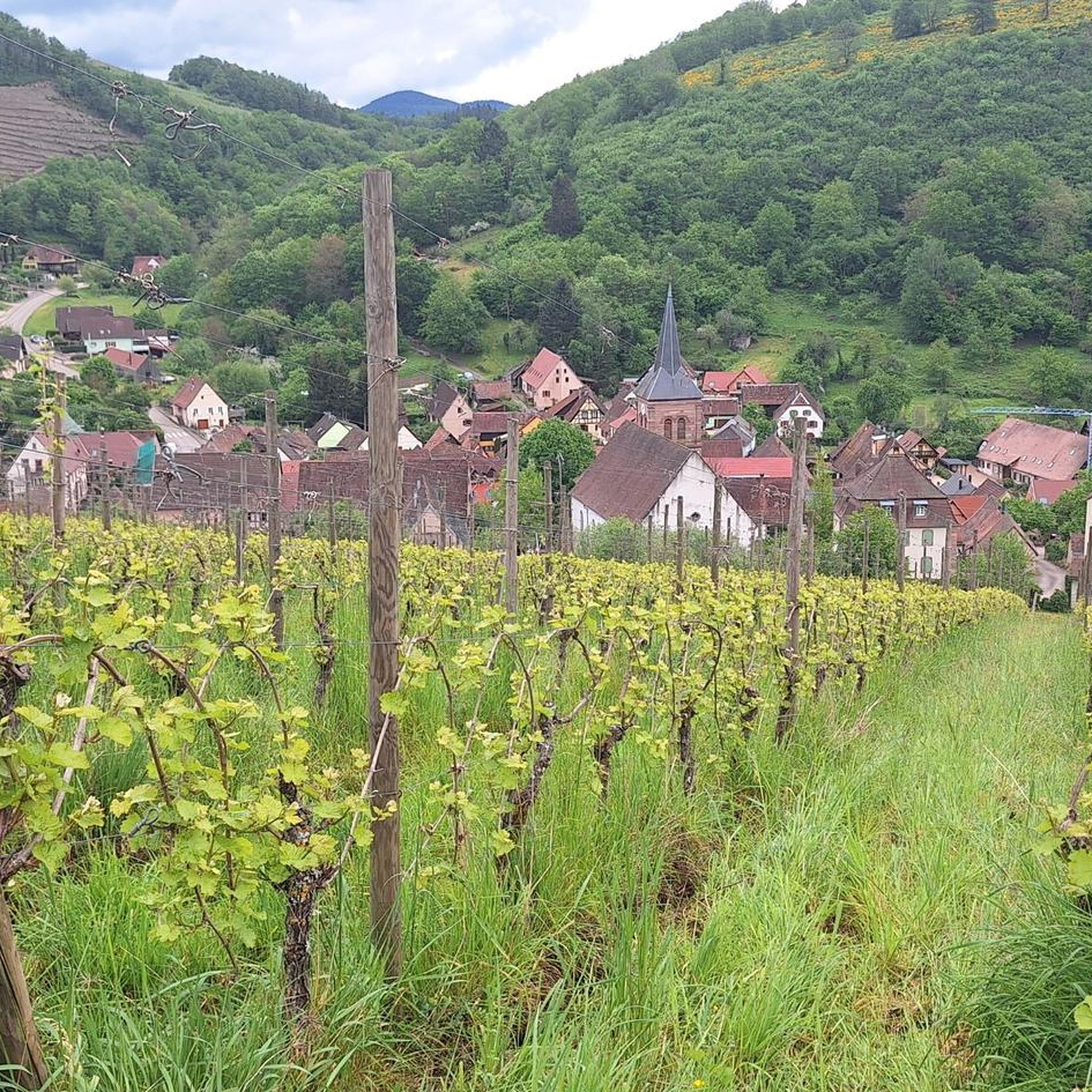
Gravel bike trails around Weiler traverse a landscape characterized by significant elevation changes, dense forests, and open valleys. The region features mountainous and hilly terrain with substantial climbs, offering varied riding surfaces including sand, gravel, sandstone, and shale exposures. This area provides a network of trails that navigate through diverse natural environments. The terrain is suitable for gravel biking, with many routes presenting challenging ascents.
Best gravel bike trails around Weiler
- The most popular gravel bike trail is Mount Sainte-Odile…
Last updated: May 22, 2026
3.0
(1)
16
riders
73.7km
06:09
1,800m
1,800m
Hard gravel ride. Very good fitness required. You may need to push your bike for some segments of this route.
7
riders
Hard gravel ride. Very good fitness required. Mostly paved surfaces. Suitable for all skill levels.

Sign up for free
5.0
(1)
7
riders
Hard gravel ride. Very good fitness required. You may need to push your bike for some segments of this route.
6
riders
46.8km
03:57
970m
970m
Hard gravel ride. Very good fitness required. Mostly paved surfaces. Suitable for all skill levels.
2
riders
27.7km
02:43
810m
810m
Hard gravel ride. Very good fitness required. Mostly paved surfaces. Suitable for all skill levels.
Get access to more routes and recommendations from other explorers.
Sign up for free
Already have an account?
Our route recommendations are based on thousands of hikes, rides, and runs completed by other people on komoot.
Start today with a free account
Your next adventure awaits.
Login or Signup
Tips from the Community

Champ du Feu, at 1099 meters, is the highest mountain in the Bas-Rhin department of the Vosges in Alsace. It lies between the towns of Belmont and Le Hohwald and consists of an extensive high plateau with forests, meadows, and moorlands. The area is a popular nature and recreational area. In summer, it is mainly used for hiking, mountain biking, and nature observation. In winter, there is a small ski area with cross-country trails and simple slopes for winter sports. The brook La Serva originates from Champ du Feu, later forming the Cascade de la Serva. In clear weather, the summit offers wide views over the Vosges, the Rhine plain, and as far as the Black Forest. The area is particularly known for its tranquil nature, high moors, sunrises and starry skies, as well as well-marked hiking trails.
0
0
The Champ du Feu, at 1099 meters, is the highest mountain in the Bas-Rhin department in the Vosges in Alsace. It is located between the towns of Belmont and Le Hohwald and consists of a vast plateau with forests, meadows, and moorlands. The area is a popular nature and recreational area. In summer, it is mainly used for hiking, mountain biking, and nature observation. In winter, there is a small ski area with cross-country trails and simple slopes for winter sports. From the Champ du Feu, the La Serva stream originates, which later forms the Cascade de la Serva. In clear weather, the summit offers wide views over the Vosges, the Rhine plain, and even the Black Forest. The area is particularly known for its quiet nature, high moors, sunrises and starry skies, as well as well-marked hiking trails.
0
0

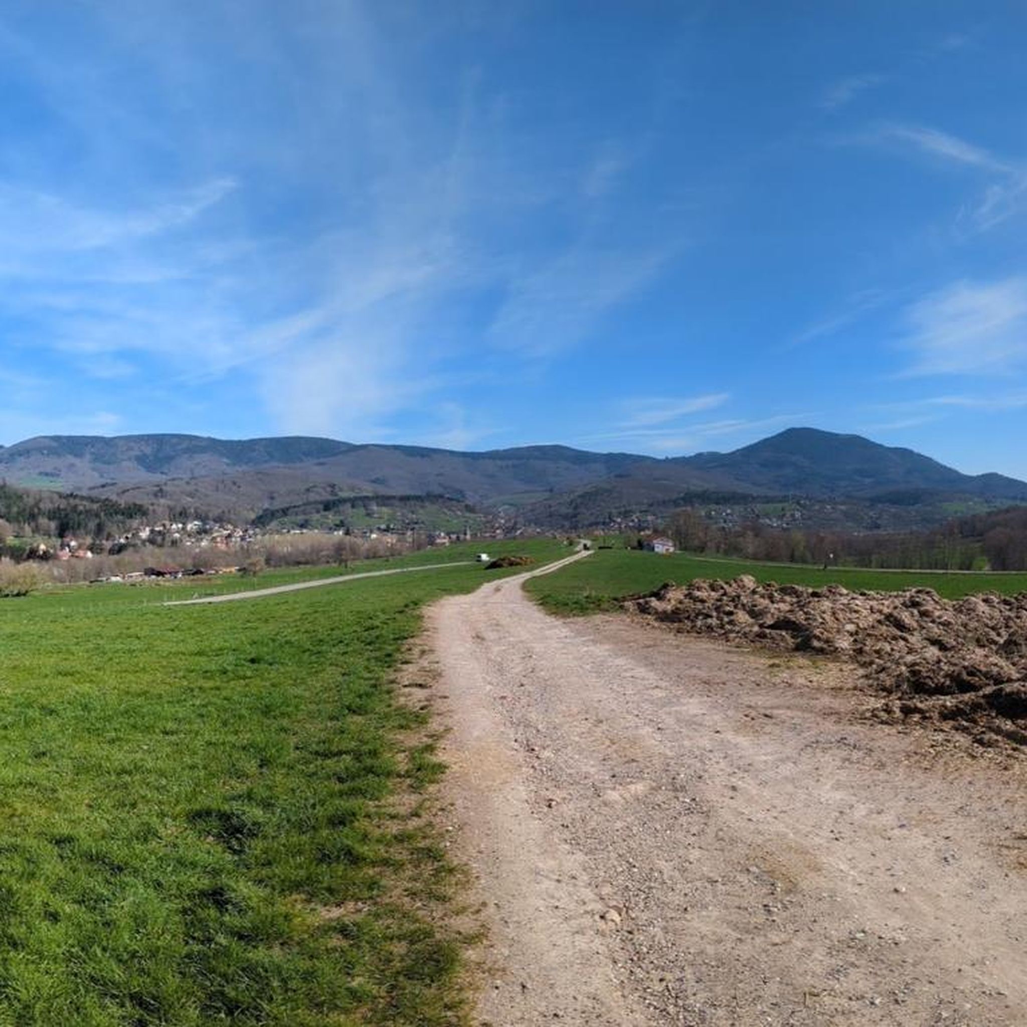
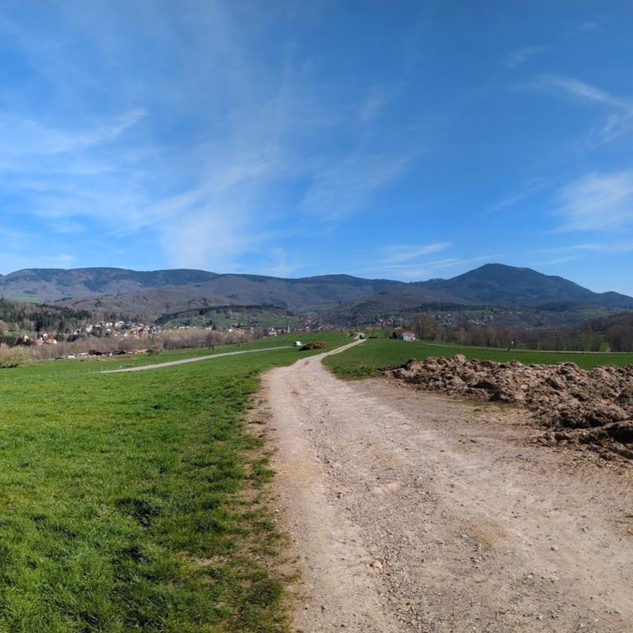
abandoned road with beautiful view.
0
0

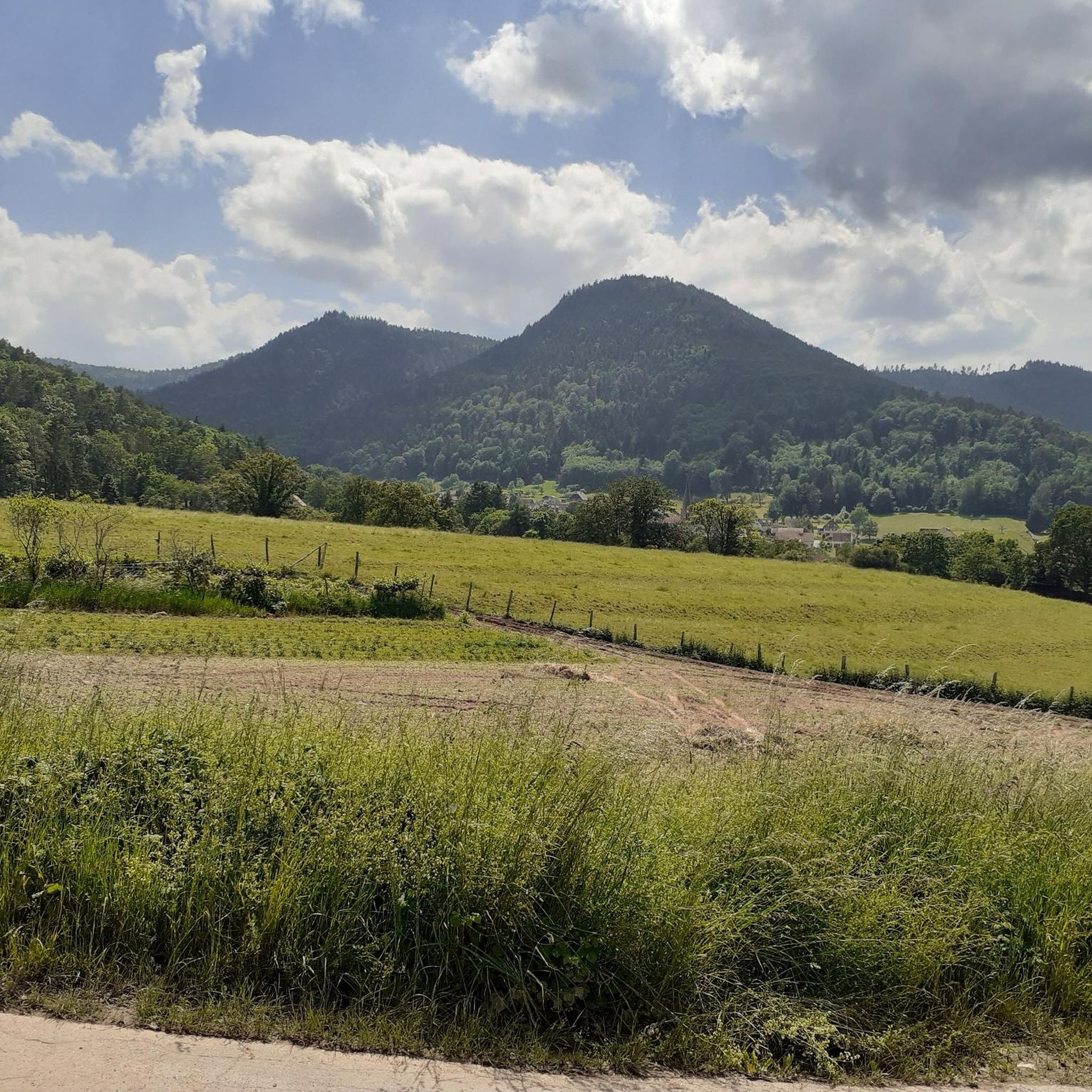
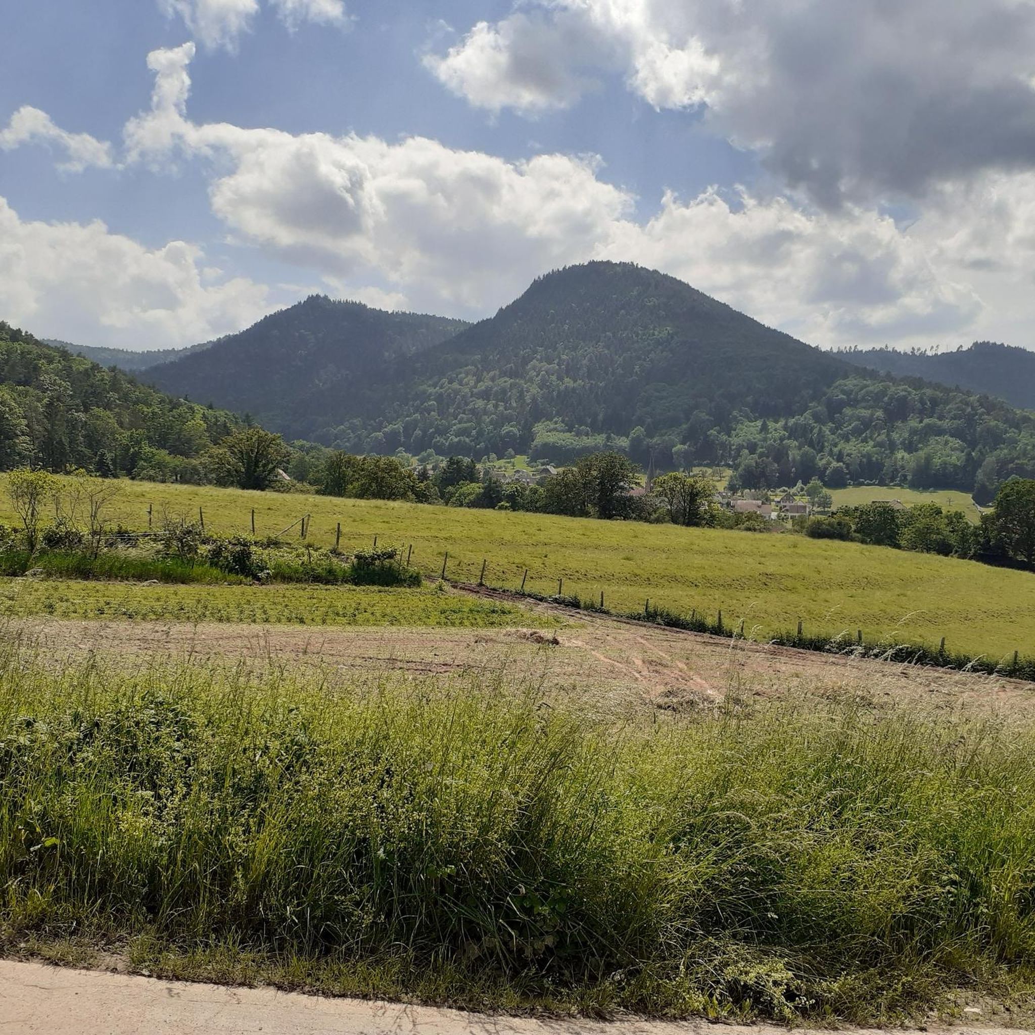
Beautiful little village on the way to Santiago de Compostela coming from Germany.
0
0
St. Sebastian Chapel is a listed historical monument (since 1921) and was the former parish church of the vanished village of Oberkirch. It combines a 12th-century Romanesque bell tower with a Gothic nave (dating from 1285). Particularly noteworthy are the Baroque high altar by the Winterhalder brothers (1692) and the Romanesque charnel house on the northeast side. The chapel is situated in the vineyards above Dambach-la-Ville, offering a sweeping panorama across the Rhine plain, and is privately owned by a civic brotherhood of 32 local families.
0
0


The cycle paths in Alsace are really great and very easy to ride.
5
0
Frequently Asked Questions
How many gravel bike trails are available in the Weiler area?
Weiler offers a robust selection of over 30 gravel bike trails. These routes navigate through diverse natural environments, featuring significant elevation changes, dense forests, and open valleys, providing varied riding surfaces.
What is the general difficulty level of gravel biking routes around Weiler?
The gravel biking routes in Weiler are predominantly challenging, with 21 out of 30 classified as difficult. These trails often feature substantial climbs and varied terrain, including sand, gravel, sandstone, and shale exposures. There are also 9 moderate routes for those seeking a slightly less intense experience.
Are there any family-friendly gravel biking options in Weiler?
While many routes in Weiler are challenging, the area does offer some moderate options that might be suitable for families with older, experienced riders. For instance, the Bike route in forest – Lone road advised for bicycle (almost bicycle path) loop from Dieffenbach-au-Val is a 13.4-mile moderate trail through forested areas, offering a less strenuous ride.
What kind of landscapes can I expect to see while gravel biking in Weiler?
Weiler's landscape is characterized by mountainous and hilly terrain, dense forests, and open valleys. You'll encounter diverse natural environments, including areas with sand, gravel, sandstone, and shale exposures. The region's proximity to the Wabash River also influences its ecological features, offering a rich variety of habitats.
What do other gravel bikers say about the trails in Weiler?
The gravel biking routes in Weiler are highly regarded by the komoot community, holding an impressive average rating of 4.6 stars from over 20 reviews. Riders frequently praise the challenging ascents, scenic valley views, and the varied, engaging terrain.
Are there any notable historical sites or landmarks along the gravel routes?
Yes, the Weiler area is rich in historical sites. You can explore several impressive castles, such as Andlau Castle, Bernstein Castle, and Ortenbourg Castle. Some routes, like the Col de Fouchy – Haut-Koenigsbourg Castle loop from Breitenbach, even pass near significant historical structures.
Are there any viewpoints or scenic spots to enjoy during a gravel bike ride?
Absolutely. The hilly terrain and forested paths often open up to scenic valley views. The View of Andlau – Andlau loop from Thanvillé specifically highlights a beautiful vista, and the region's diverse landscapes provide many opportunities for picturesque stops.
Can I find places to eat or rest along the gravel bike trails in Weiler?
Yes, there are options for refreshments and rest. You might encounter places like the Rothlach Inn or the L'Ermitage Hotel & Vegan Restaurant. Additionally, there are shelters such as the La Vieille Métairie Shelter and the Col du Frankenbourg Shelter, which can be useful for a break.
Are there any long-distance gravel routes for experienced riders?
Weiler offers several extensive routes for experienced gravel bikers. The Ribeauvillé – Ribeauvillé Old Town loop from Château du Bernstein is a difficult 53.8-mile (86.7 km) path with significant climbs, providing a substantial challenge. Another demanding option is the Mount Sainte-Odile – Bernstein Castle loop from Nothalten, which covers 45.8 miles (73.7 km) with over 5,900 feet (1,800 m) of elevation gain.
Are the gravel bike trails in Weiler typically circular routes?
Many of the popular gravel bike trails in Weiler are designed as loops, allowing you to start and end at the same point. Examples include the Mount Sainte-Odile – Bernstein Castle loop from Nothalten and the View of Andlau – Andlau loop from Thanvillé, which are convenient for planning your ride.
What kind of terrain can I expect on the gravel trails?
The gravel trails in Weiler feature a varied and engaging terrain. You'll encounter surfaces including sand, gravel, sandstone, and shale exposures, often combined with significant elevation changes as you traverse mountainous and hilly areas. This diversity makes for a dynamic gravel biking experience.
Most popular attractions around Weiler

Get inspired with the komoot mobile app


Explore more
Browse the best Gravel rides in other regions.
