The best road cycling routes around Weiler
4.6
(116)
2,168
riders
13
rides
Road cycling around Weiler offers a diverse landscape characterized by significant elevation changes, mountain passes, and forested areas. The region features routes that ascend to high points like Champ du Feu and navigate through passes such as Urbeis and Col de Steige. These physical features provide varied terrain for road cyclists, from challenging climbs to scenic descents. The area's geography is well-suited for those seeking routes with notable elevation gain.
Best road cycling routes around Weiler
- The most popular road…
Last updated: October 8, 2026
5.0
(5)
56
riders
Moderate road ride. Great for any fitness level. Some segments of this route may be unpaved and difficult to ride.
4.1
(19)
61
riders
51.6km
02:13
420m
420m
Moderate road ride. Good fitness required. Mostly well-paved surfaces and easy to ride.

5.0
(1)
50
riders
56.4km
03:13
1,350m
1,360m
Hard road ride. Very good fitness required. Mostly well-paved surfaces and easy to ride.
4.0
(2)
17
riders
23.6km
01:05
290m
290m
Easy road ride. Great for any fitness level. Mostly well-paved surfaces and easy to ride.
5.0
(1)
24
riders
28.3km
01:48
840m
840m
Moderate road ride. Good fitness required. Mostly well-paved surfaces and easy to ride.
Get access to more routes and recommendations from other explorers.
Already have an account?
Our route recommendations are based on thousands of hikes, rides, and runs completed by other people on komoot.
Start today with a free account
Your next adventure awaits.

Tips from the Community

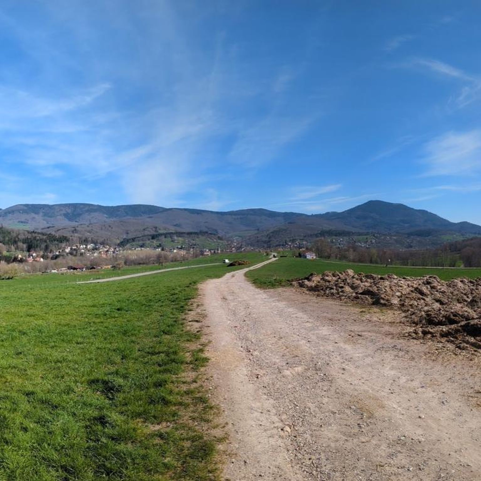
Nice little place, worth a look
0
0

The Champ du Feu, at 1099 meters, is the highest mountain in the Bas-Rhin department in the Vosges in Alsace. It is located between the towns of Belmont and Le Hohwald and consists of a vast plateau with forests, meadows, and moorlands. The area is a popular nature and recreational area. In summer, it is mainly used for hiking, mountain biking, and nature observation. In winter, there is a small ski area with cross-country trails and simple slopes for winter sports. From the Champ du Feu, the La Serva stream originates, which later forms the Cascade de la Serva. In clear weather, the summit offers wide views over the Vosges, the Rhine plain, and even the Black Forest. The area is particularly known for its quiet nature, high moors, sunrises and starry skies, as well as well-marked hiking trails.
0
0

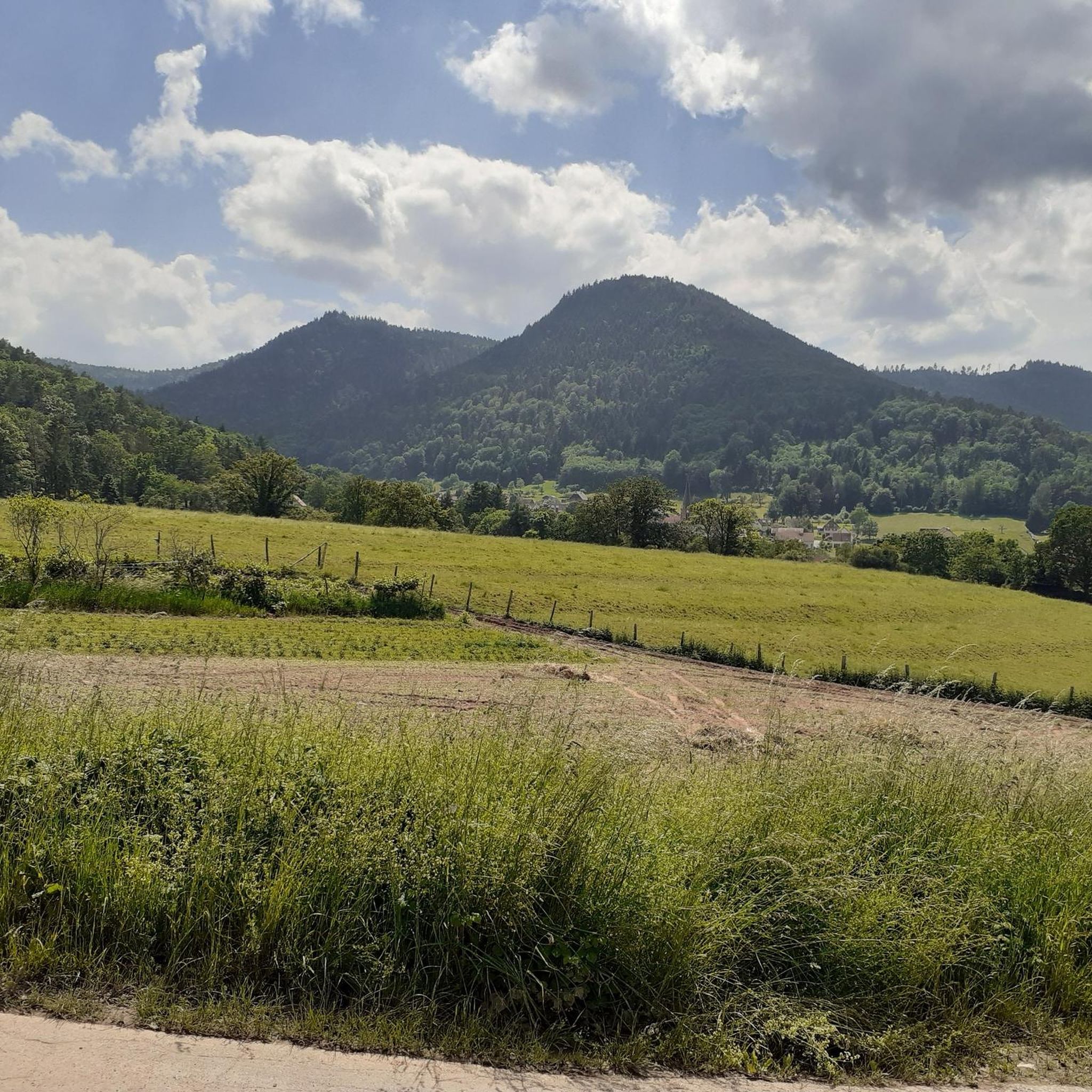
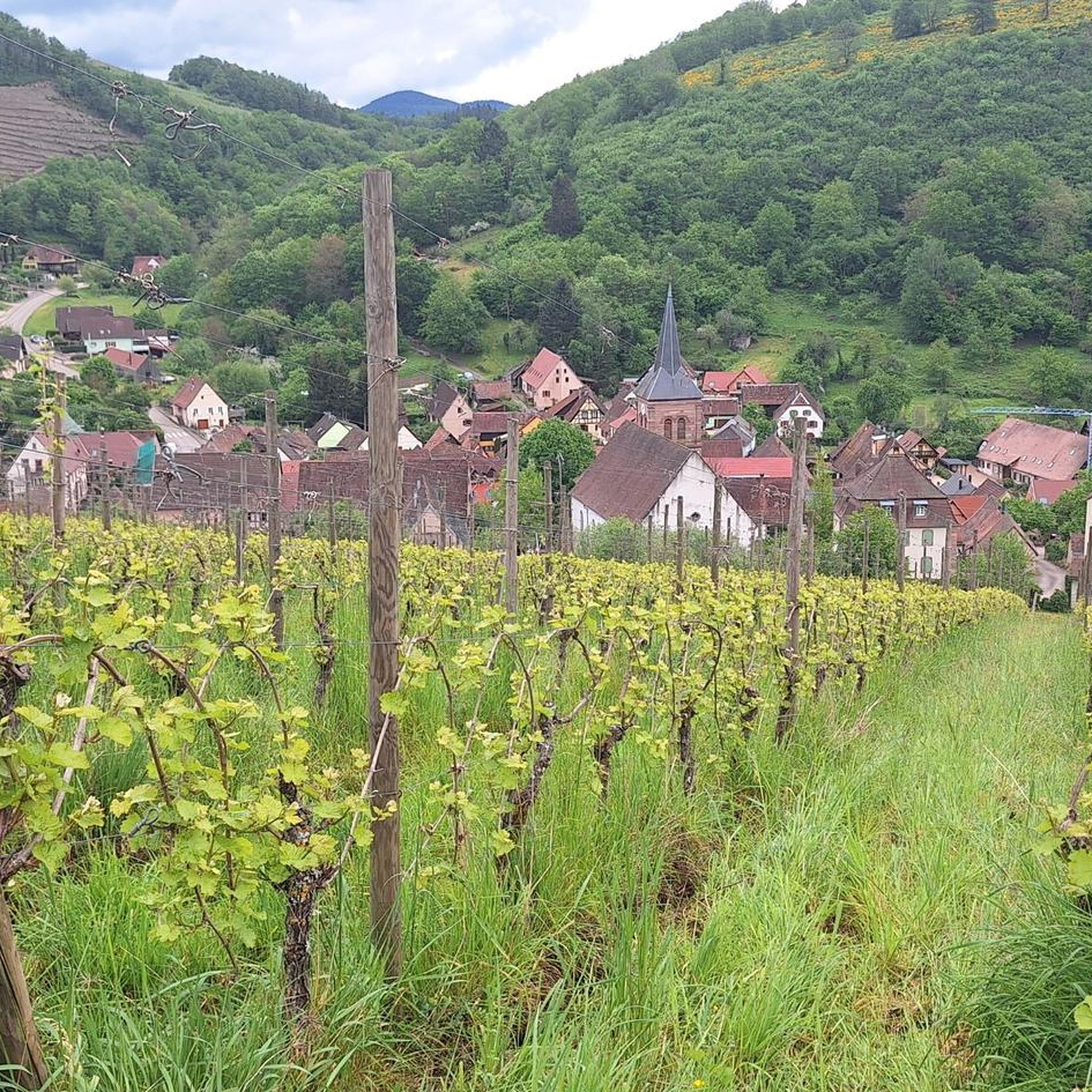
Beautiful little village on the way to Santiago de Compostela coming from Germany.
0
0


Any fitness level? Well... pretty steep! But after a third of the (heavy) climb, it's all downhill.
0
0

A fountain with cool drinking water, idyllically located in Neubois on Rue Principale at the end of the village, towards Dieffenbach-au-Val.
0
0
Frequently Asked Questions
How many road cycling routes are available around Weiler?
There are over 60 road cycling routes around Weiler, offering a wide range of options for different skill levels and preferences.
What is the best time of year for road cycling in Weiler?
The region's mountainous terrain suggests that spring through autumn typically offers the most favorable conditions for road cycling, with milder temperatures and less chance of snow on higher passes. Always check local weather forecasts before heading out.
Are there beginner-friendly road cycling routes around Weiler?
Yes, Weiler offers 6 easy road cycling routes. While the region is known for significant elevation changes, these routes provide a gentler introduction to the area's beautiful landscapes.
What are some challenging road cycling routes for experienced riders in Weiler?
For experienced riders seeking a challenge, Weiler has 21 difficult road cycling routes. A notable option is the Champ du Feu – Au Champ du Feu loop from Villé, which features substantial elevation gain over 35 miles.
Can I find circular road cycling routes in Weiler?
Many of the road cycling routes around Weiler are designed as loops, allowing you to start and finish in the same location. Examples include the popular Urbeis Pass – Col de Steige loop from Villé and the Well with drinking water – Chateau loop from Villé.
Where can I park my car when road cycling in Weiler?
Parking availability varies by starting point. Many routes, especially those beginning in towns like Villé, will have designated parking areas. It's advisable to check the specific route details on komoot for parking recommendations near your chosen starting point.
Are there road cycling routes accessible by public transport in Weiler?
While specific public transport links to every trailhead are not detailed, major towns in the region, such as Villé, often have bus services. For routes starting directly from these towns, public transport access might be feasible. Always verify local transport schedules and bike carriage policies.
What kind of scenery can I expect on road cycling routes around Weiler?
Road cycling in Weiler offers diverse scenery, including significant elevation changes, challenging mountain passes like Champ du Feu and Urbeis, and extensive forested areas. You'll experience a mix of demanding climbs and scenic descents through picturesque valleys.
Are there any notable landmarks or attractions to see while road cycling in Weiler?
Yes, the region is rich in historical and natural landmarks. You can encounter impressive mountain passes such as Champ du Feu and Col de Steige. The area also features several historic castles, including Bernstein Castle and Andlau Castle, which can be explored as part of your cycling adventure or as separate excursions.
Where can I find scenic viewpoints on road cycling routes in Weiler?
Many routes that ascend to higher elevations, particularly those crossing mountain passes, offer panoramic views. The Ascent to Haut-Koenigsbourg – Urbeis Pass loop from Villé, for instance, provides stunning vistas as you climb.
What do other road cyclists enjoy most about road cycling in Weiler?
The road cycling routes around Weiler are highly rated by the komoot community, with an average score of 4.6 stars from over 70 reviews. Cyclists frequently praise the challenging climbs, varied terrain, and the beautiful, often forested, landscapes that define the region.
Are there cafes or places to stop for refreshments along the road cycling routes?
While specific cafes are not listed for every route, many villages and towns along the routes, especially those at the base or summit of popular passes, offer opportunities for refreshments. The Champ du Feu – Charbonnière Pass loop from Villé, for example, passes near areas where you might find local establishments.
Most popular attractions around Weiler

Get inspired with the komoot mobile app


Explore more
Browse the best Road cycling routes in other regions.
