The best gravel rides around Krautergersheim
3.9
(28)
185
riders
49
rides
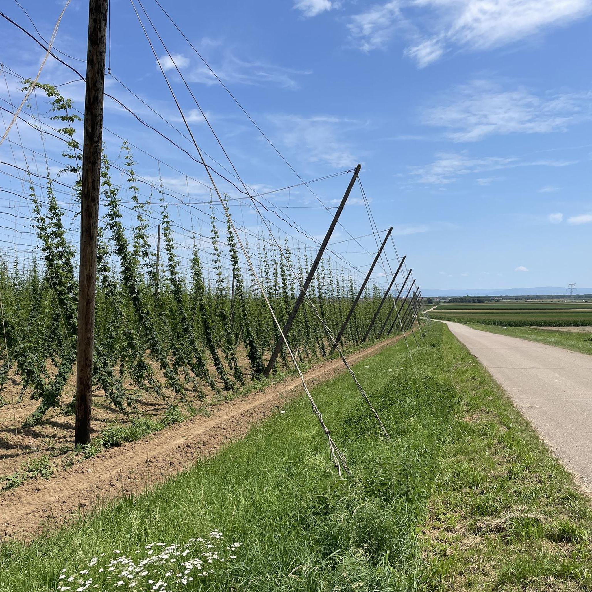
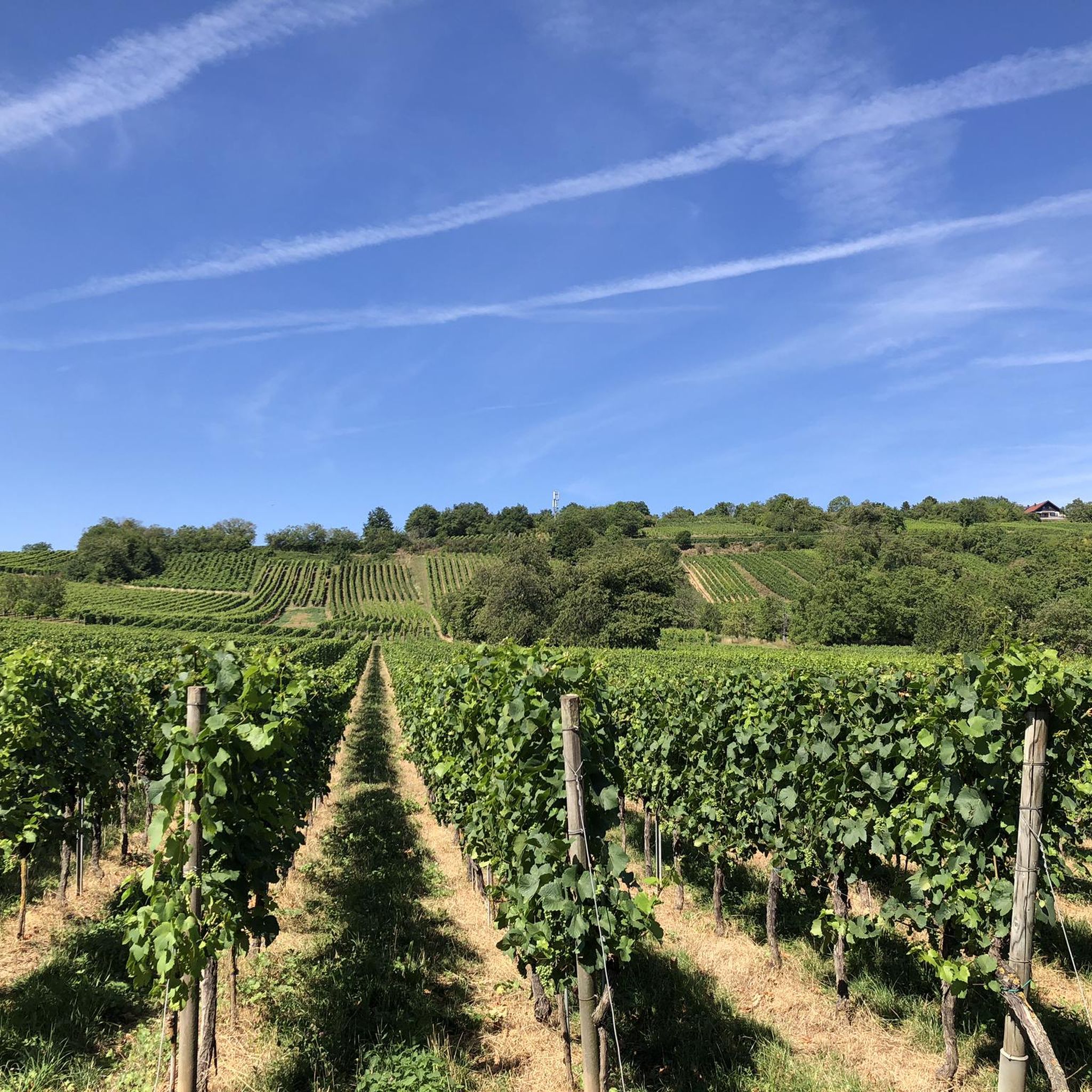
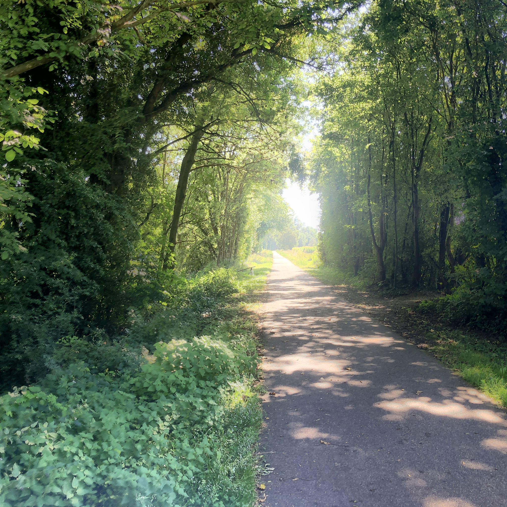
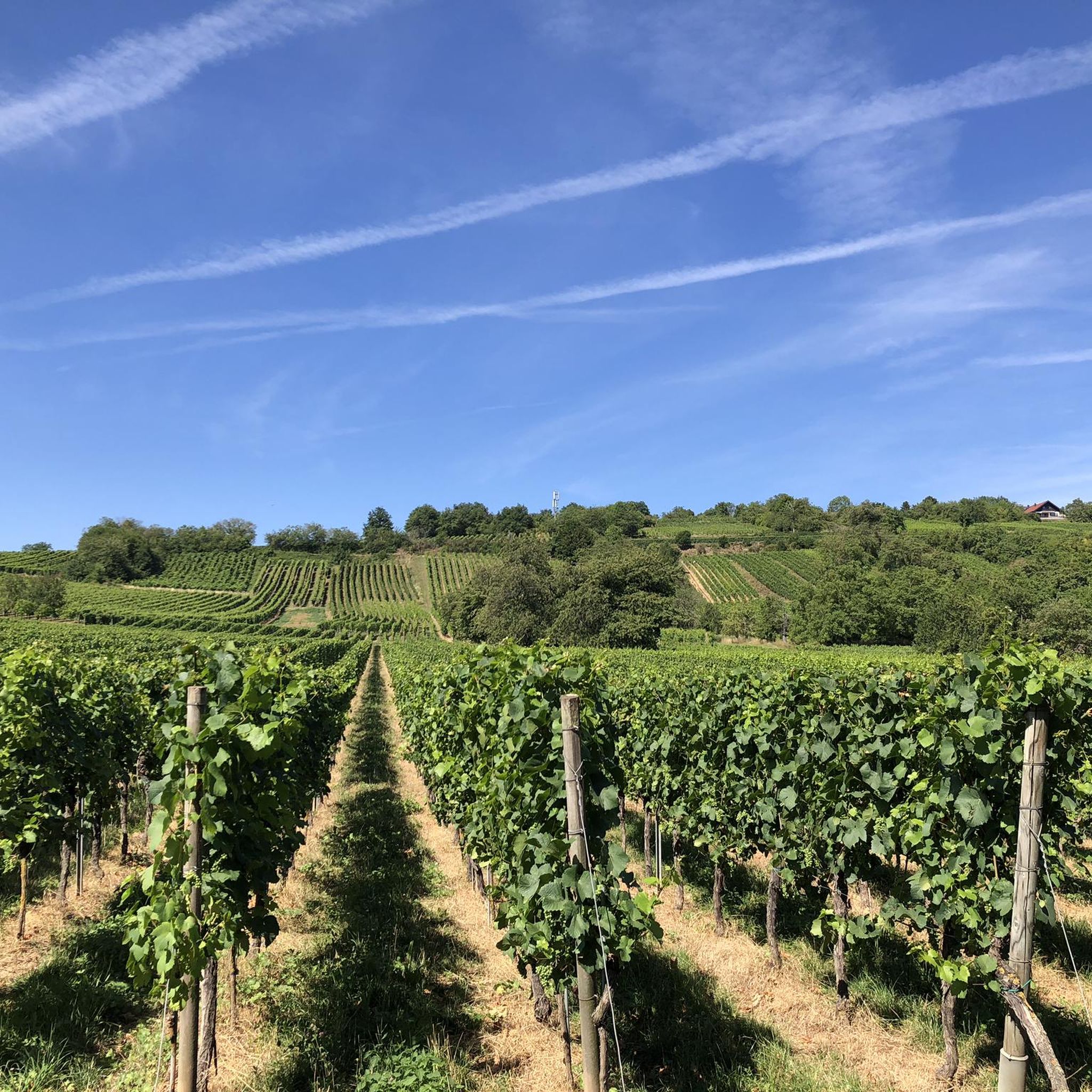
Gravel biking around Krautergersheim offers a diverse landscape characterized by rolling countryside, lush meadows, and dense forests. The region features varied topography, including loess terraces to the west and wet heaths to the east, with the village situated on the banks of the Ehn River. Gravel bike trails near Krautergersheim often include climbs up to several hundred meters, traversing natural paths and rural roads. This mix provides a dynamic riding experience, transitioning between tranquil country roads, forest paths, and farm…
Last updated: October 6, 2026
4.3
(3)
19
riders
69.0km
05:11
1,200m
1,200m
Hard gravel ride. Very good fitness required. You may need to push your bike for some segments of this route.
3.5
(6)
16
riders
33.1km
02:26
470m
470m
Hard gravel ride. Very good fitness required. Mostly paved surfaces. Suitable for all skill levels.

4.2
(6)
25
riders
29.5km
02:06
620m
620m
Hard gravel ride. Very good fitness required. Mostly paved surfaces. Suitable for all skill levels.
4.0
(2)
11
riders
38.3km
02:32
300m
300m
Moderate gravel ride. Good fitness required. Mostly paved surfaces. Suitable for all skill levels.
22
riders
Moderate gravel ride. Good fitness required. Mostly paved surfaces. Suitable for all skill levels.
Get access to more routes and recommendations from other explorers.
Already have an account?
Our route recommendations are based on thousands of hikes, rides, and runs completed by other people on komoot.
Start today with a free account
Your next adventure awaits.
Tips from the Community

The Odilienberg (763 m) in Alsace is the most important spiritual center of the region. Founded around 690 by Saint Odilia, the monastery attracts hundreds of thousands of pilgrims annually. The centerpiece of the complex is the Basilica of the Assumption of Mary (1687–1692) with the burial chapel, where the relics of the patron saint rest in an 8th-century sandstone sarcophagus. Directly on the panoramic terrace are the Chapel of Tears and the Chapel of Angels (12th century), known for their luminous gold mosaics from 1935. Inside the basilica, there is also a fine wooden inlaid Way of the Cross by Charles Spindler. Below the monastery rocks runs a magnificent hiking trail. It leads past the monumental, colorful ceramic Way of the Cross (14 stations) and the Lourdes Grotto, both integrated directly into the red sandstone by Léon Elchinger in the 1930s. About a 15-minute walk further down, the Odilien spring emerges in the forest, its water traditionally sought for eye ailments. The entire mountain plateau is enclosed by the Heidenmauer, a mysterious, 11-kilometer-long prehistoric defensive wall. Following the hiking trails further south, you reach the Maennelstein (817 m), the highest point of the ridge, which offers a wide panoramic view over the Rhine plain to the Black Forest. The monastery grounds are open all year round and admission is free. Would you like to use this short text for a brochure or are you still looking for information on how to get there for your tour? AI answers may contain errors. For legal advice, you should consult an expert. More information
0
1
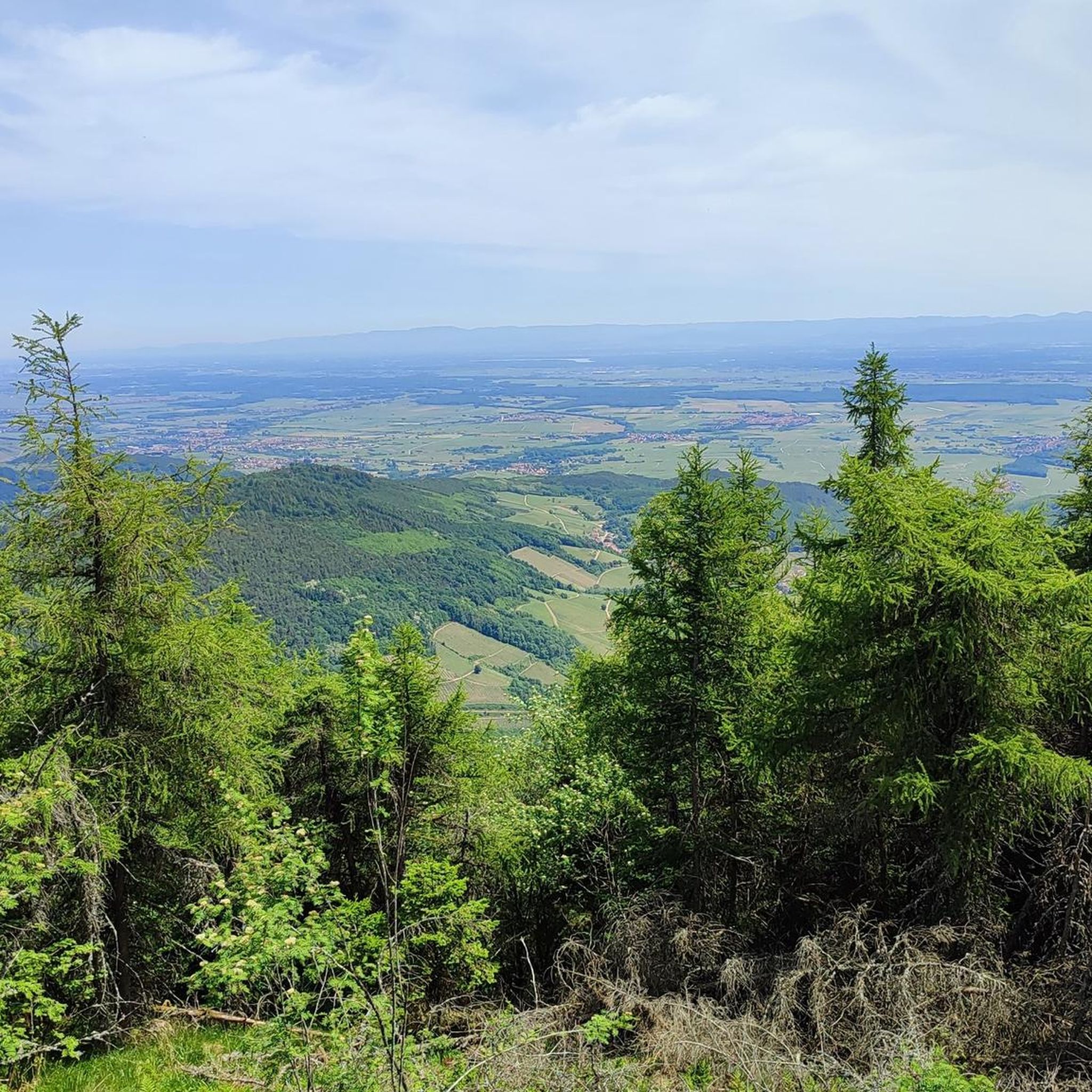
Beautiful viewpoint of the Rhine valley and the Black Forest. The Panoramafelsen is located at 780 m.
0
0

abandoned road with beautiful view.
0
0

Opening hours daily: 9:00 - 12:00 and 14:00 - 18:00.
0
0

The Saint-Nabor promontory, located in Alsace at the foot of Mont Sainte-Odile, offers a natural site rich in history and geology. It is known for its old porphyry quarries, a volcanic rock formed in the Carboniferous period, exploited long before their closure in 2002. The promontory rises to an altitude of approximately 340 meters in a semi-continental microclimate favoring vineyards and forests. It constitutes a belvedere offering a remarkable panorama of the Alsace plain, as far as Strasbourg and the Black Forest on a clear day. The site is accessible by well-marked hiking trails, notably the Saint-Nabor loop which passes by the Sainte-Lucie Fountain and the Pagan Wall. This peaceful place, away from the tourist hustle and bustle, is also a starting point for discovering the region, its heritage and its peaceful landscapes. It is steeped in history linked to the nearby Niedermunster monastery, now in ruins, and the presence of medieval remains.
0
0

Great church building, unfortunately the church was closed
0
0

Great place to sit and watch the set over the lake
1
0

Frequently Asked Questions
How many gravel bike trails are available around Krautergersheim?
There are nearly 80 gravel bike trails around Krautergersheim, offering a wide range of options for different skill levels. This includes 8 easy routes, 25 moderate routes, and 46 difficult routes.
Are there easy gravel bike routes for beginners near Krautergersheim?
Yes, Krautergersheim offers 8 easy gravel bike routes suitable for beginners or those looking for a more relaxed ride. These routes typically feature less elevation gain and smoother terrain.
What are some challenging gravel bike routes for experienced riders?
For experienced riders seeking a challenge, there are 46 difficult routes. Consider the Mont Sainte-Odile Abbey – Mount Saint Odile loop from Altorf, which covers 46.3 km with over 680 meters of elevation gain. Another demanding option is the Rathsamhausen Castle – Sculpture La Porte loop from Bischoffsheim, a 51.7 km route with over 1000 meters of climbing.
What is the typical length and duration of gravel bike routes in this region?
The gravel bike routes around Krautergersheim vary significantly in length and duration. For example, the difficult Sculpture La Porte – Mont Sainte-Odile Abbey loop from Bischoffsheim is 35.2 km and takes nearly 3 hours, while the Mont Sainte-Odile Abbey – Mount Saint Odile loop from Rosheim stretches 56 km and can take almost 5 hours.
Are there any family-friendly gravel biking options?
While many routes feature significant elevation, the 8 easy routes are generally more suitable for families. These routes often utilize quieter paths and offer a less strenuous experience. Look for routes with lower elevation gain and shorter distances for a more family-friendly outing.
What is the best time of year for gravel biking around Krautergersheim?
The region's rolling hills and forested areas are enjoyable throughout much of the year. Spring and autumn offer pleasant temperatures and beautiful scenery. Summer can be warm, so early morning rides are recommended. Winter riding is possible, but be prepared for potentially muddy or icy conditions, especially on higher elevation trails.
Are there any scenic viewpoints or hidden gems along the gravel bike trails?
The routes often traverse varied landscapes, connecting historical sites and offering scenic vistas. While specific viewpoints aren't detailed in every route, the region is known for its dense woodlands and rolling hills, providing many picturesque moments. Exploring the trails will reveal many natural beauties.
Are there any places to stop for refreshments or coffee along the routes?
Yes, some routes pass by or near places where you can refuel. For instance, the Lock House No. 3 – Cyclists' Refreshment Stop is a highlight that could be incorporated into a ride, offering a convenient stop for cyclists.
What do other gravel bikers enjoy the most about gravel biking in Krautergersheim?
The area is highly rated by the komoot community, with an average score of 4.4 stars from over 35 reviews. Reviewers often praise the diverse landscape, which includes rolling hills and forested areas, and the varied terrain that connects historical sites and scenic viewpoints.
Are there any notable landmarks or attractions near the gravel bike routes?
Yes, the region is rich in historical and natural attractions. You might encounter highlights such as the town of Obernai, or cycle along the scenic Canal du Rhône au Rhin Tree-Lined Path or the Canal de la Bruche cycle path, which offer pleasant riding experiences and points of interest.
Are there many loop gravel bike trails available?
Yes, many of the gravel bike trails around Krautergersheim are designed as loops, allowing you to start and end your ride in the same location. Examples include the Obernai – Church of Saint Peter and Saint Paul loop from Obernai and the Mont Sainte-Odile Abbey – Mount Saint Odile loop from Rosheim.
Most popular routes around Krautergersheim
Most popular attractions around Krautergersheim

Get inspired with the komoot mobile app


Explore more
Browse the best Gravel rides in other regions.
