The best walks and hikes around Krautergersheim
4.5
(1726)
10,597
hikers
565
hikes
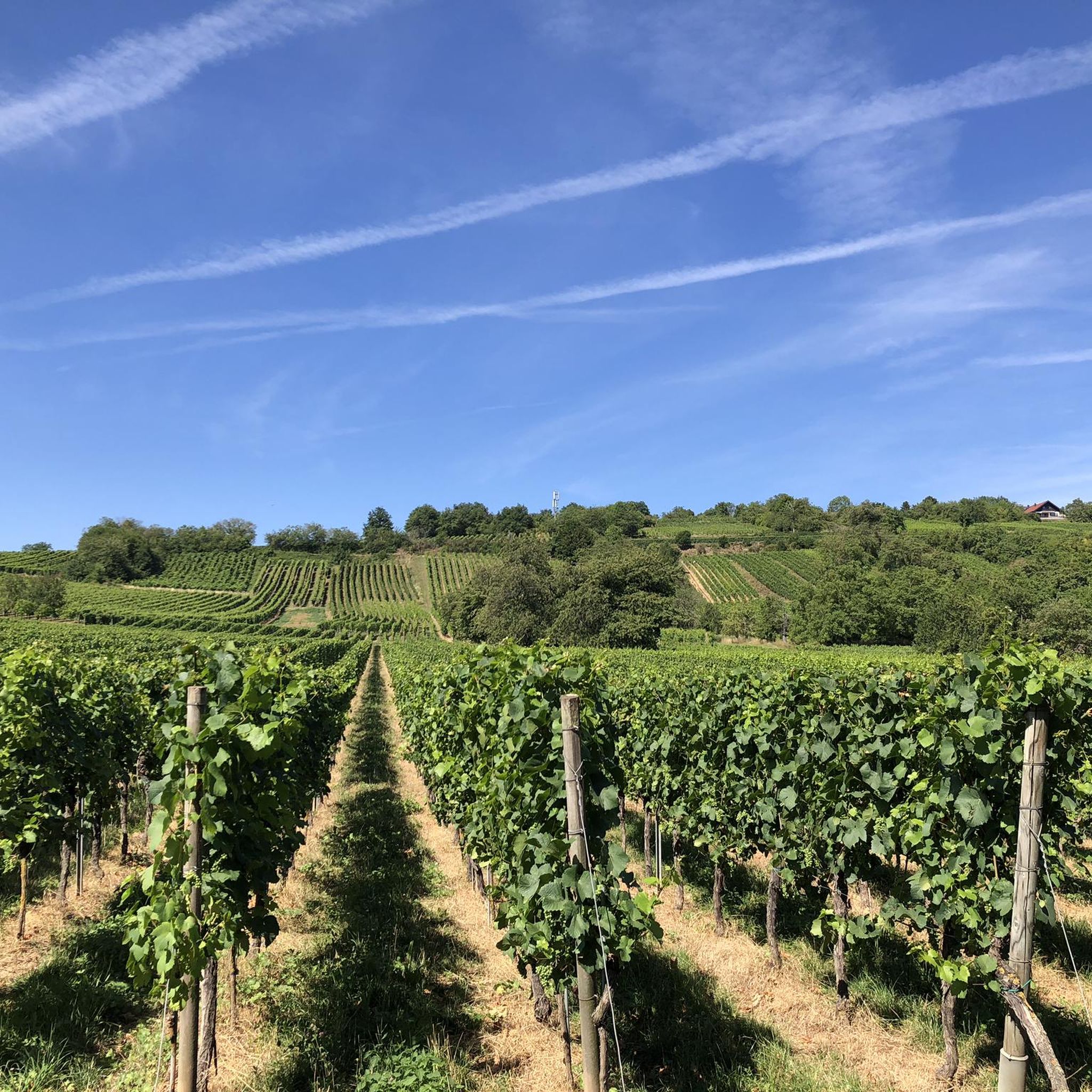
Hiking around Krautergersheim offers access to diverse landscapes and well-maintained trails within the Alsace region. The area is characterized by a network of paths, including those near the Northern Vosges Regional Natural Park and along canal-side routes. Hikers can expect varied terrain, from vineyard paths and chestnut forests to small hills, often incorporating historical sites and charming villages.
Best hiking trails around Krautergersheim
- The most popular hiking route is Small Bridge Over the River loop from Hindisheim, a 4.7…
Last updated: October 4, 2026
4.7
(83)
222
hikers
12.3km
03:22
190m
190m
Moderate hike. Good fitness required. Easily-accessible paths. Suitable for all skill levels.
4.6
(20)
64
hikers
14.5km
03:56
200m
200m
Moderate hike. Good fitness required. Easily-accessible paths. Suitable for all skill levels.

4.7
(10)
66
hikers
11.4km
02:58
80m
80m
Moderate hike. Good fitness required. Easily-accessible paths. Suitable for all skill levels.
4.7
(10)
85
hikers
Easy hike. Great for any fitness level. Easily-accessible paths. Suitable for all skill levels.
4.8
(13)
48
hikers
20.2km
06:00
590m
590m
Hard hike. Very good fitness required. Easily-accessible paths. Suitable for all skill levels.
Get access to more routes and recommendations from other explorers.
Already have an account?
Our route recommendations are based on thousands of hikes, rides, and runs completed by other people on komoot.
Start today with a free account
Your next adventure awaits.
Tips from the Community

The restaurant of the same name in the building is recommended. There are typical Alsatian dishes and the thirsty cyclist will not be disappointed either.
0
0


Unique how the craftsmanship has proven itself here.
0
0

Opening hours daily: 9:00 - 12:00 and 14:00 - 18:00.
0
0

Obernai has very beautiful half-timbered houses
0
0
Great church building, unfortunately the church was closed
0
0

There are excellent wine bars and restaurants in the old town center of Oberlai. A stopover is definitely worth it.
5
0

I found it interesting that the old town was surrounded by a double fortress wall. The inner, 1,400-meter-long ring wall was intended to have approximately 20 towers and four gates. The wide earthen rampart now serves as a walking path.
1
0
Frequently Asked Questions
How many hiking trails are available around Krautergersheim?
There are over 540 hiking routes around Krautergersheim, offering a wide variety of options for all skill levels. The komoot community has explored more than 8800 of these routes, providing valuable insights and ratings.
What kind of terrain can I expect on hikes near Krautergersheim?
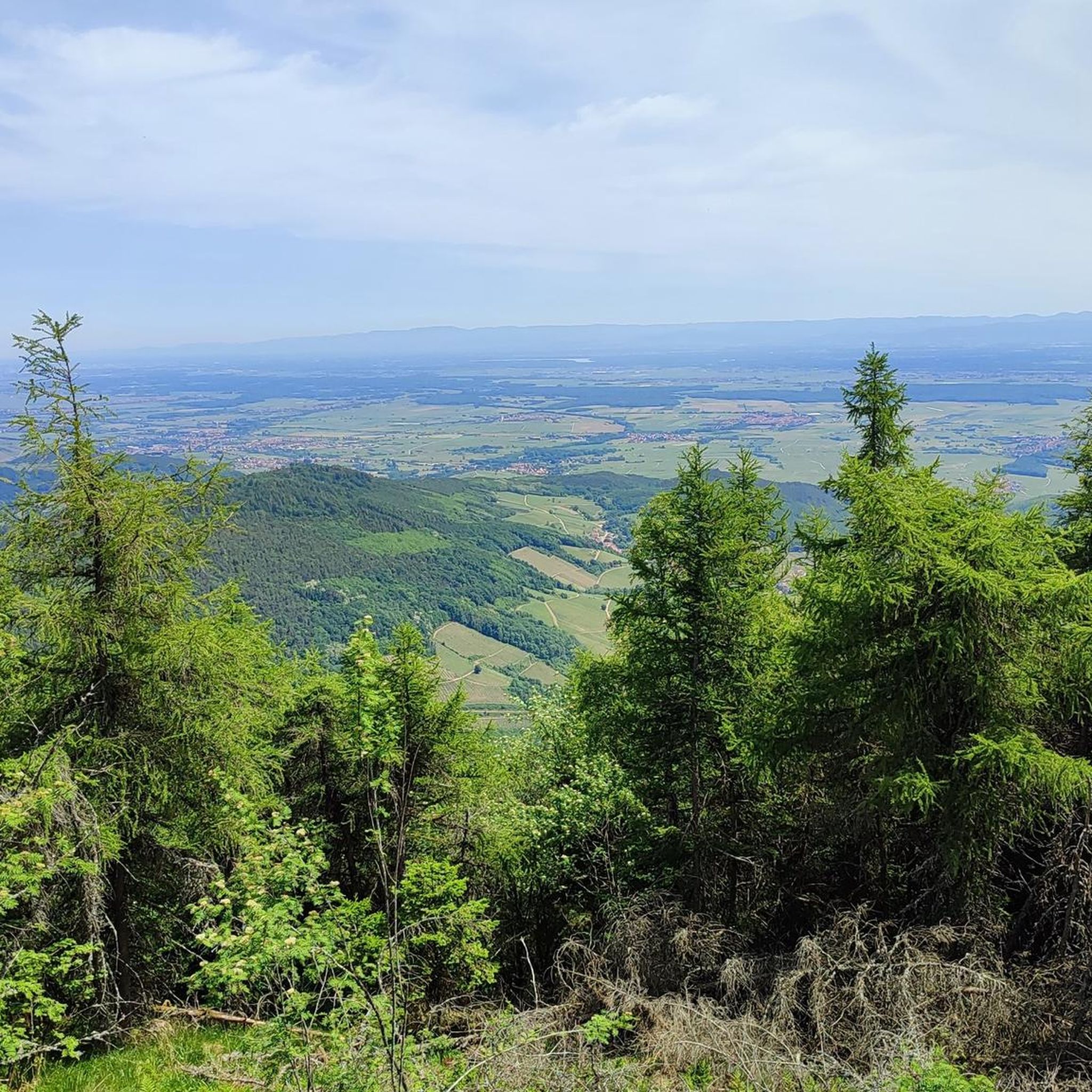
The terrain around Krautergersheim is diverse, ranging from gentle, tree-lined paths along canals to vineyard trails and chestnut forests. You'll find well-maintained paths, often with minimal elevation changes, making them accessible for many. The broader Alsace region, which Krautergersheim is part of, also features small peaks and varied landscapes.
Are there easy or beginner-friendly hiking routes in the area?
Yes, Krautergersheim offers many easy hiking options, with over 280 routes classified as easy. An example is the Small Bridge Over the River loop from Hindisheim, which is a gentle 4.7-mile (7.6 km) trail. Another easy option is the Niedernai Town Hall – Saint-Maximin Church loop from Niedernai, connecting village landmarks.
Can I find circular hiking routes around Krautergersheim?
Many of the hiking trails around Krautergersheim are designed as circular routes, allowing you to start and end in the same location. Examples include the Small Bridge Over the River loop from Hindisheim and the Saint Odile Fountain – Halle au Blé loop from Meistratzheim, which takes you through varied landscapes.
What are some interesting landmarks or natural features to see on hikes?
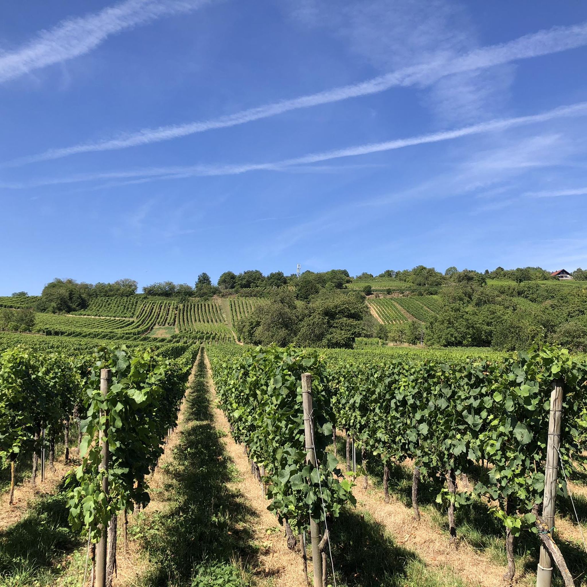
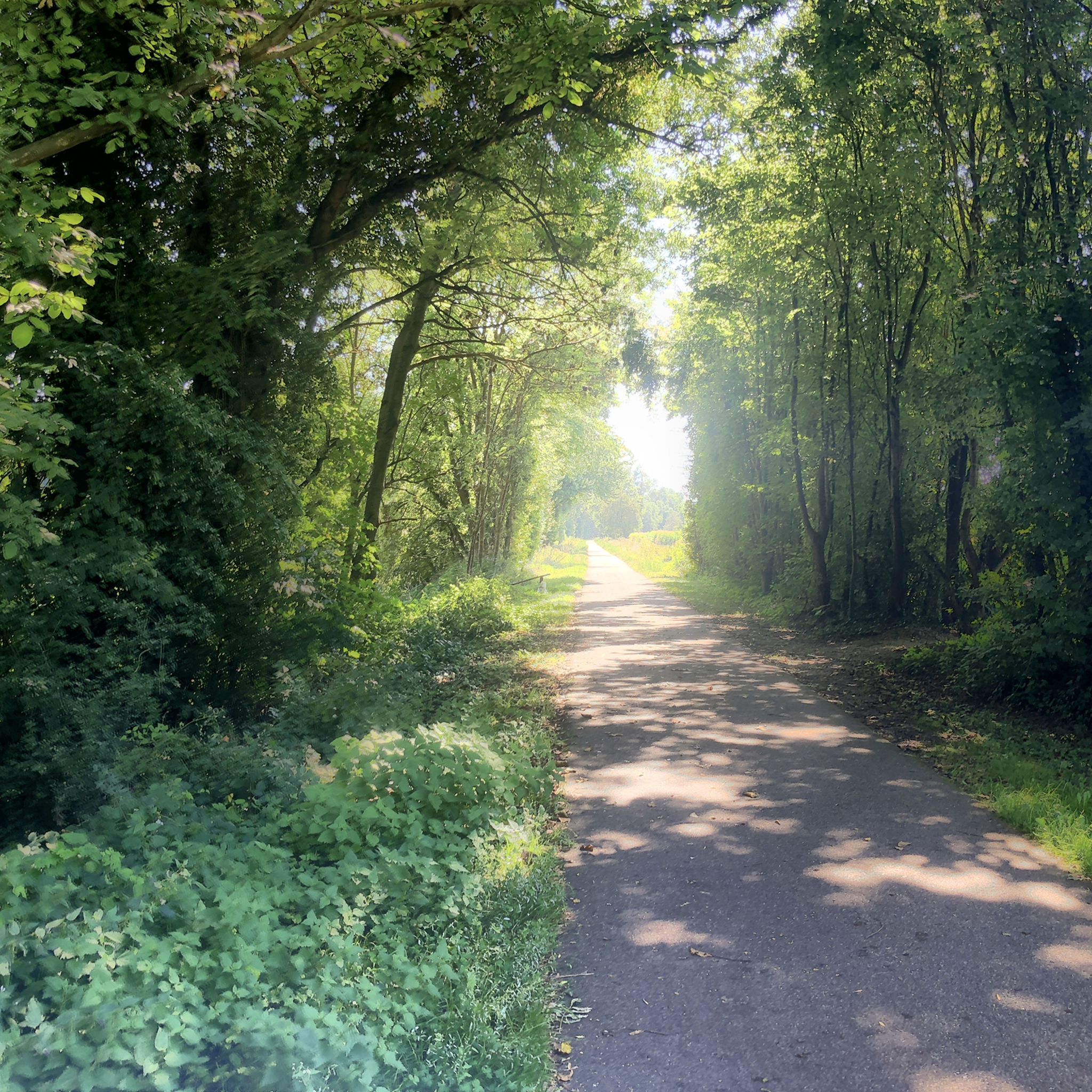
While hiking around Krautergersheim, you can explore charming villages and historical sites. The region is close to the Northern Vosges Regional Natural Park, known for its preserved flora, fauna, and pink sandstone rocks. For gentler walks, the Canal du Rhône au Rhin Tree-Lined Path and the Canal de la Bruche cycle path offer picturesque, car-free environments. The nearby town of Obernai also offers cultural interest.
Are there family-friendly hiking options near Krautergersheim?
Yes, the area offers numerous family-friendly routes, especially those along the canals or through vineyards, which tend to have flatter, well-maintained paths. These provide a relaxed experience suitable for all ages, allowing families to enjoy the outdoors together.
Are hiking trails around Krautergersheim suitable for dogs?
Many trails in the Krautergersheim area are suitable for dogs, particularly the canal-side paths and vineyard routes which offer open spaces and varied scenery. It's always recommended to keep dogs on a leash, especially near wildlife or agricultural areas, and to check local regulations for specific trails.
What is the best time of year to go hiking in Krautergersheim?
The Alsace region, including Krautergersheim, often enjoys abundant sunshine, making spring, summer, and early autumn ideal for hiking. Spring brings blooming landscapes, while autumn offers vibrant colors in the forests and vineyards. Even in winter, some trails are accessible, but it's advisable to check weather conditions and trail status.
Are there any hikes that pass through villages or offer amenities like cafes?
Yes, many routes in the region connect charming villages, providing opportunities to stop for refreshments. For example, the Niedernai Town Hall – Saint-Maximin Church loop from Niedernai passes through Niedernai, where you can find local amenities. The wider Alsace region is known for its medieval villages with unique architecture and cultural heritage.
What do other hikers enjoy most about hiking in Krautergersheim?
The area is highly rated by the komoot community, with an average score of 4.5 stars from over 1300 reviews. Reviewers often praise the well-maintained trails, the mix of cultural and natural scenery, and the accessibility of routes for various fitness levels. The peaceful canal-side walks and picturesque vineyard paths are frequently highlighted.
Are there options for longer or more challenging hikes?
While many routes are easy to moderate, there are also more challenging options available. The region offers 37 difficult routes for those seeking a greater challenge. An example of a moderate route is the Niedernai Town Hall – Saint-Maximin Church loop from Krautergersheim, which covers 10.7 miles (17.2 km).
Most popular routes around Krautergersheim
Most popular attractions around Krautergersheim

Get inspired with the komoot mobile app


Explore more
Browse the best Hikes in other regions.
