The best gravel rides around Saint-Sauveur-Camprieu
5.0
(3)
71
riders
15
rides
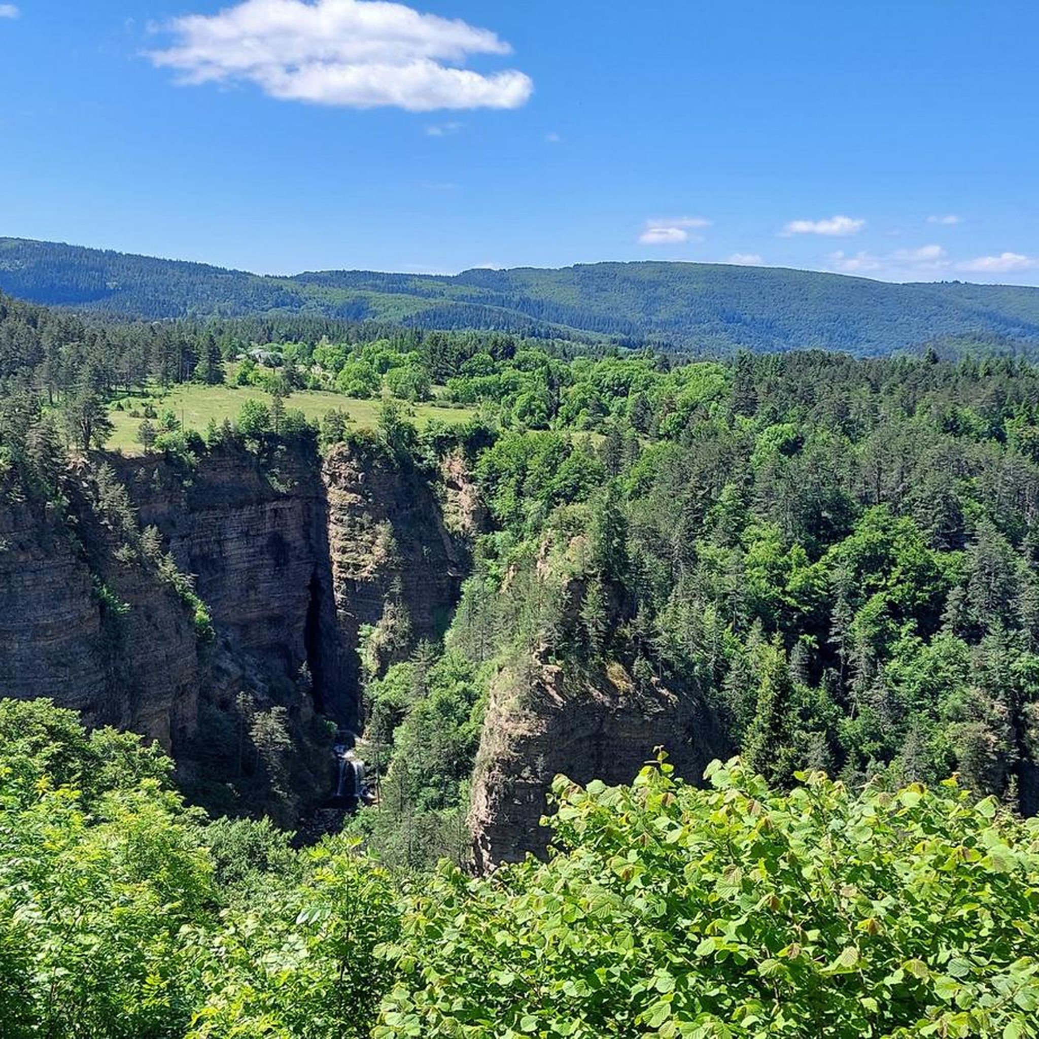
Gravel biking around Saint-Sauveur-Camprieu features routes through the Cévennes mountains, characterized by deep gorges and elevated terrain around Mont Aigoual. The landscape includes a mix of forested areas, limestone plateaus, and river valleys. This region offers varied topography suitable for gravel riding, from challenging climbs to scenic paths.
Best gravel bike trails around Saint-Sauveur-Camprieu
- The most popular gravel bike trail is Meyrueis – Mont Aigoual loop from Saint-Sauveur-Camprieu, a 37.9 miles (60.9 km) trail that takes 5 hours 20…
Last updated: July 2, 2026
8
riders
60.9km
05:21
1,420m
1,420m
Hard gravel ride. Very good fitness required. You may need to push your bike for some segments of this route.
17
riders
47.5km
03:25
1,000m
1,000m
Hard gravel ride. Very good fitness required. Mostly paved surfaces. Suitable for all skill levels.

Sign up for free
4
riders
55.8km
04:18
1,490m
1,490m
Hard gravel ride. Very good fitness required. You may need to push your bike for some segments of this route.
1
riders
22.5km
01:41
390m
380m
Moderate gravel ride. Good fitness required. Mostly paved surfaces. Suitable for all skill levels.
3
riders
27.5km
02:25
600m
600m
Hard gravel ride. Very good fitness required. Mostly paved surfaces. Suitable for all skill levels.
Get access to more routes and recommendations from other explorers.
Sign up for free
Already have an account?
Our route recommendations are based on thousands of hikes, rides, and runs completed by other people on komoot.
Start today with a free account
Your next adventure awaits.
Login or Signup
Tips from the Community

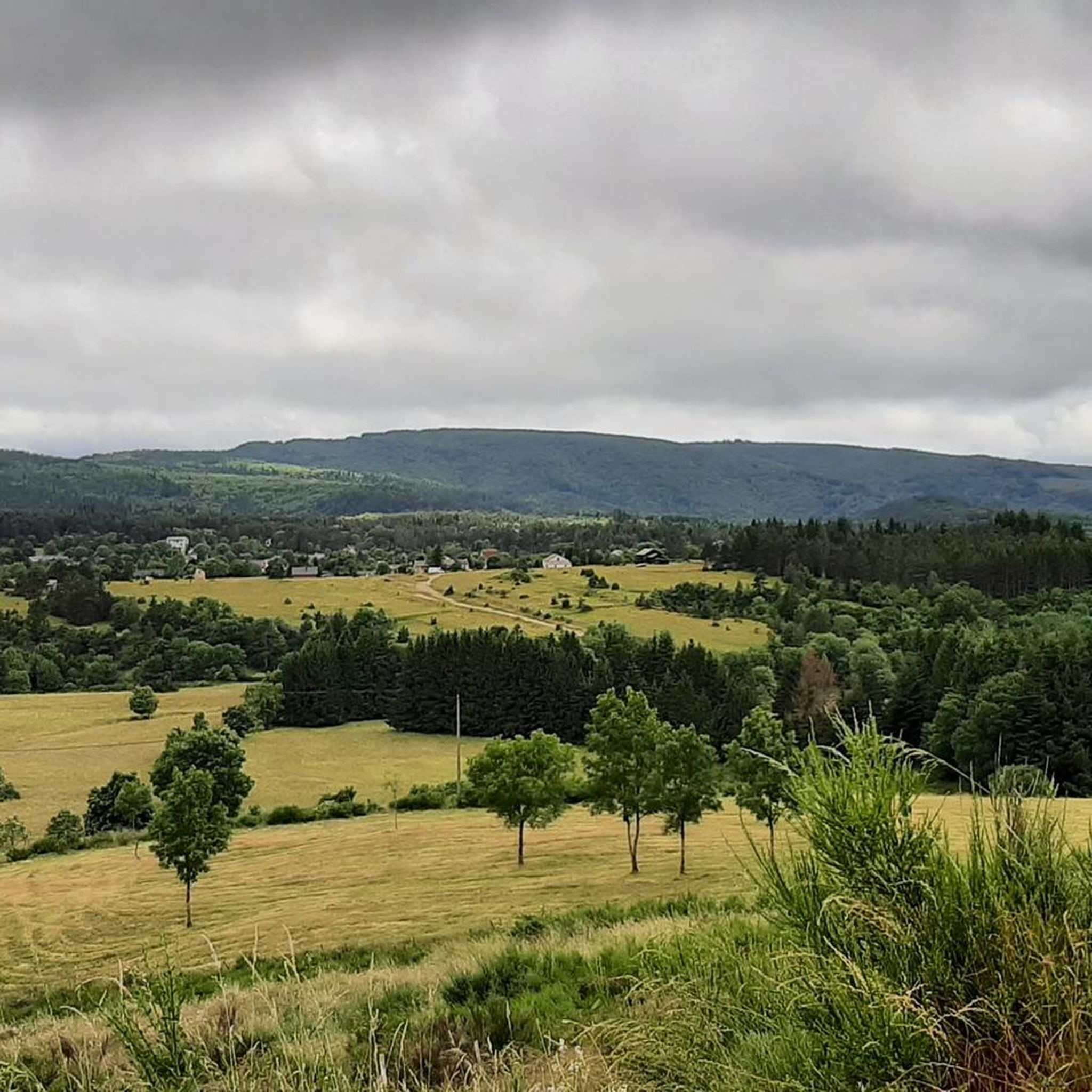
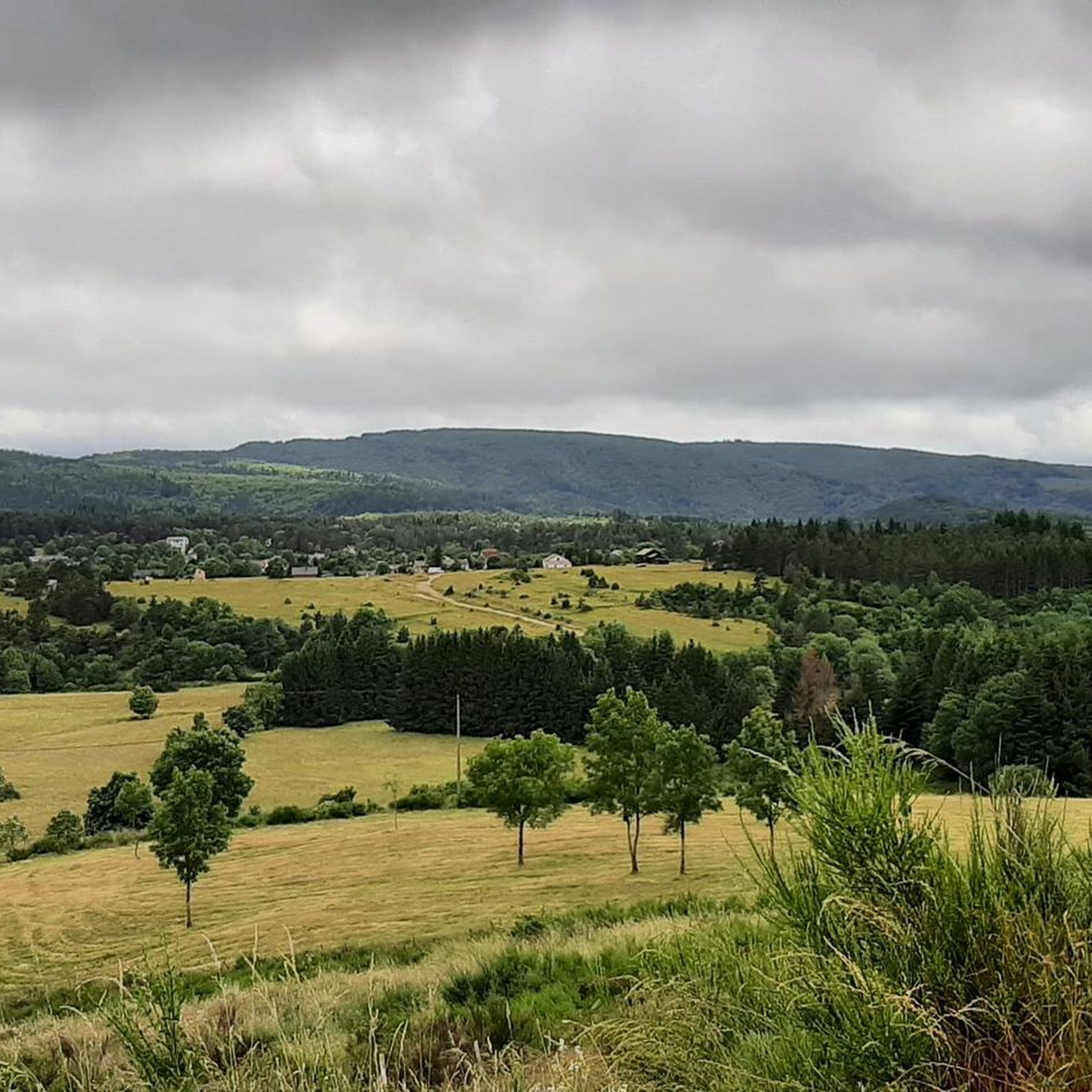
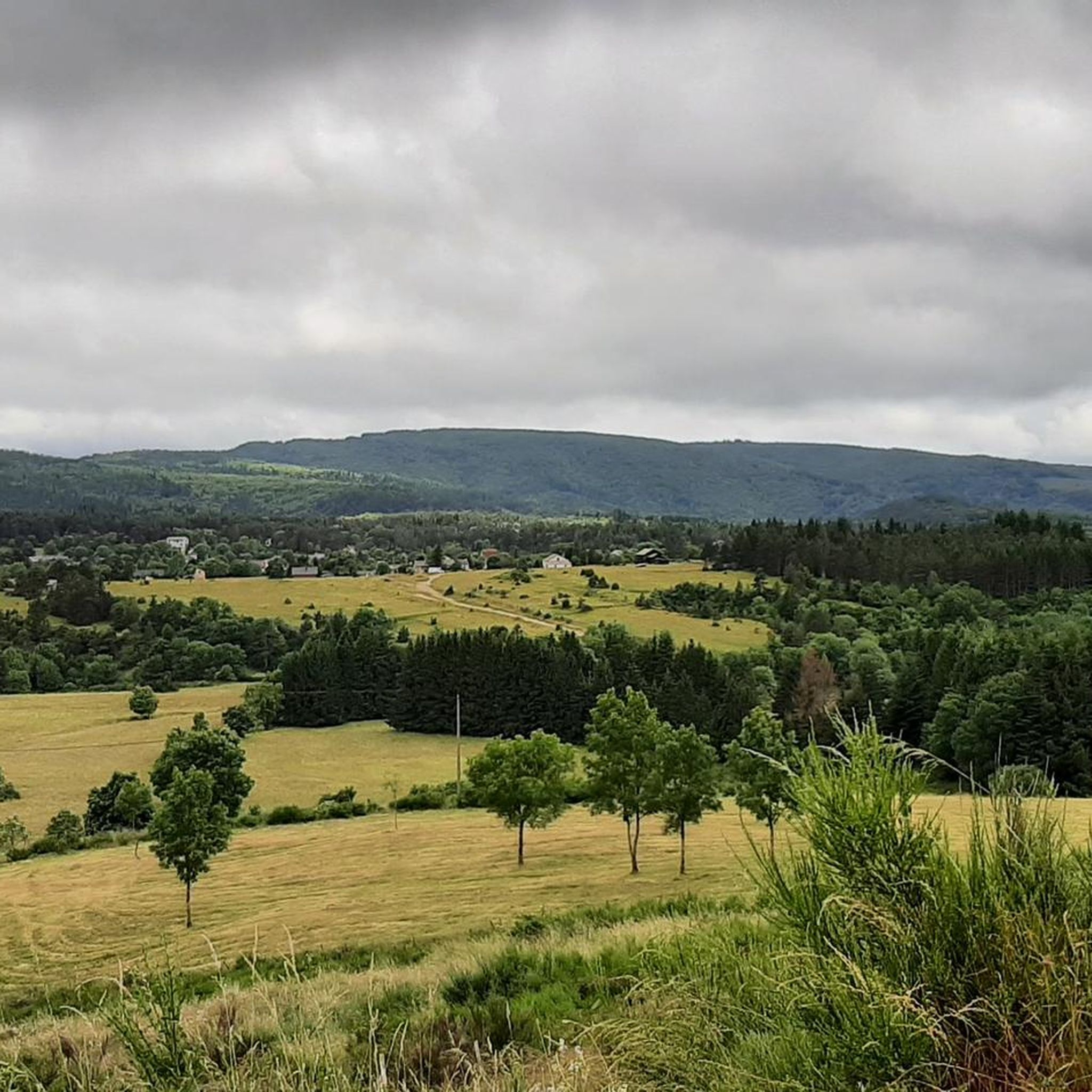
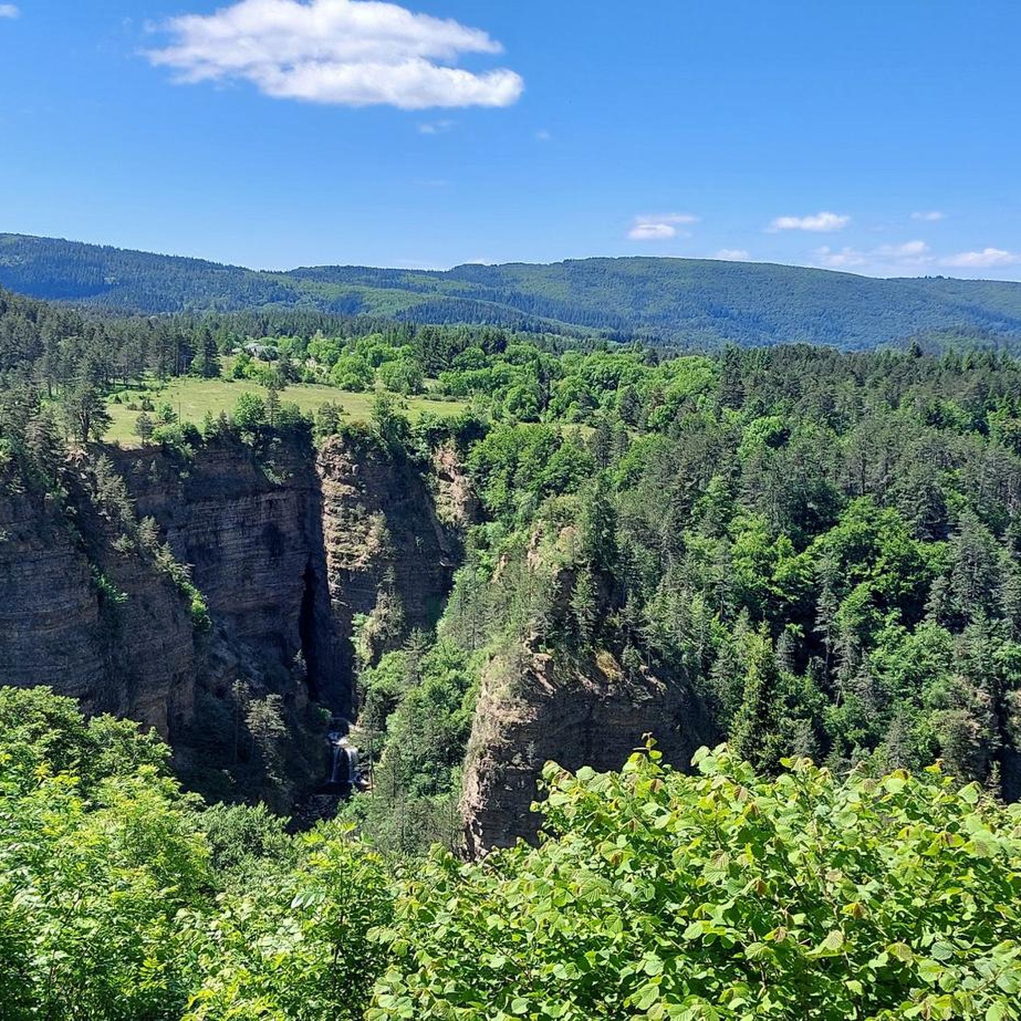
Sublime point, view of the Cévennes and the Mediterranean Sea in good weather
0
0

Under the title "France's Wild South," an episode of the British television series "National Parks – Protected Natural Wonders" on 3sat presents the Cévennes mountains. The accompanying text on the website states: "Lush green mountains, barren plateaus, and deep gorges characterize this landscape, which, unlike France's coasts, has not yet been discovered by mass tourism. It also boasts some of the country's most spectacular river landscapes." The compelling documentary, available in German, can be viewed in the media library at the following link: https://www.3sat.de/dokumentation/nationalparks-geschuetzte-naturwunder/nationalparks-geschuetzte-naturwunder-cevennen-frankreichs-wilder-sueden-102.html
0
0

Cabrillac is a typical example of the small hamlets found throughout the Cévennes. These small stone buildings are characteristic of the local architecture.
0
0
This small sacred monument, too, is a symbol of remembrance of the crucifixion and resurrection of Jesus Christ. However, its design is very unique and unlike the usual crosses that often crown mountain peaks. At the end of the triangular base plate, a small wall appears to have been built, its sides terminating in the shape of a stepped gable. In the center is a V-shaped cutout, the ends of which extend significantly beyond the height of the small wall. From this V emerges the longitudinal beam of the cross, which, however, has two crossbeams. This double crossbeam, as well as the lack of a corpus, is typical of the so-called "Lorraine Cross."
3
0

Lovely running climb, at the beginning through the forest it is nice to cycle. After that the road surface becomes a bit worse. Nice running climb.
0
0

A pretty village for a rest stop or simply to visit (by bike). There are many terraces where you can take a short break.
0
0

small village nestled at the entrance to the Jonte gorges, incredible possibilities for road, gravel and mountain bike circuits.
0
1

Frequently Asked Questions
How many gravel bike trails are available around Saint-Sauveur-Camprieu?
There are over 15 gravel bike trails documented around Saint-Sauveur-Camprieu on komoot, offering a range of experiences through the Cévennes mountains.
Are there any easy gravel bike trails suitable for beginners in Saint-Sauveur-Camprieu?
While many routes in the region are challenging, you can find moderate options. The View of the Gorges du Tarn – Viewpoint loop from Grotte de Dargilan is a moderate 22.4 km trail that offers stunning views without extreme difficulty.
What kind of terrain can I expect on gravel bike trails in Saint-Sauveur-Camprieu?
The terrain is highly varied, characterized by the Cévennes mountains. You'll encounter deep gorges like the Jonte and Tarn, elevated areas around Mont Aigoual, forested sections, limestone plateaus, and river valleys. This mix provides both challenging climbs and scenic paths.
Are there any circular gravel bike routes in the area?
Yes, many of the gravel bike routes around Saint-Sauveur-Camprieu are designed as loops. For example, the Meyrueis village – Meyrueis loop from Gatuzières is a challenging 51.7 km circular route.
What are some scenic viewpoints or natural attractions along the gravel bike trails?
The region is rich in natural beauty. You can find stunning views along routes that traverse the Jonte and Tarn Gorges. Notable natural attractions include Mount Aigoual, the impressive Abîme de Bramabiau, and even Dinosaur Footprints. Many routes also pass through various mountain passes like Minier Pass.
What is the best season for gravel biking in Saint-Sauveur-Camprieu?
The Cévennes region generally offers pleasant conditions for gravel biking from spring through autumn. Summers can be warm, especially in the valleys, while spring and autumn provide cooler temperatures and vibrant scenery. Winter riding might be possible at lower elevations, but higher mountain passes and trails around Mont Aigoual could be affected by snow and ice.
What do other gravel bikers enjoy most about the trails in Saint-Sauveur-Camprieu?
The komoot community highly rates the gravel biking experience here, with an average score of 5.0 stars. Riders often praise the dramatic landscapes, the challenging ascents, and the sense of adventure found on trails through deep gorges and mountainous terrain.
Are there any particularly challenging routes for advanced gravel bikers?
Yes, the area is well-suited for advanced riders. Routes like the Jonte Gorge – Gorges du Tarn loop from Veyreau, spanning 89.5 km with significant elevation, offer a demanding experience with spectacular views of the gorges.
Where can I find parking for gravel biking routes in Saint-Sauveur-Camprieu?
Many routes start from villages or established points where parking is typically available. For example, routes often begin near Saint-Sauveur-Camprieu itself, Veyreau, or Valleraugue, which usually have public parking facilities. It's advisable to check specific starting points for detailed parking information.
Are there any routes that pass through villages or offer opportunities for cafe stops?
Many routes in the region connect or pass near small villages, offering opportunities for breaks and refreshments. For instance, the Meyrueis – Mont Aigoual loop from Saint-Sauveur-Camprieu passes through or near several settlements where you might find local amenities.
What is the typical elevation gain on gravel bike trails in this region?
Given the mountainous terrain of the Cévennes, you can expect significant elevation gain on most gravel bike trails. Many challenging routes feature over 1400 meters of ascent, such as the Mount Aigoual – Mont Aigoual loop from Valleraugue, which has over 1480 meters of climbing.
Most popular routes around Saint-Sauveur-Camprieu
Most popular attractions around Saint-Sauveur-Camprieu

Get inspired with the komoot mobile app


Explore more
Browse the best Gravel rides in other regions.
