The best running trails around Saint-Sauveur-Camprieu
4.3
(16)
1,755
runners
12
runs
Jogging routes around Saint-Sauveur-Camprieu traverse a diverse landscape within the Cévennes National Park, offering varied terrain for runners. The region features a mix of pastures, dense forests, and valleys, shaped by diverse geology including schist, granite, and limestone. Notable natural features include the picturesque Valley of Happiness with its tranquil Lac du Bonheur and the dramatic Abîme de Bramabiau, providing scenic routes along the Bonheur River. The proximity to the Mont Aigoual Massif also offers opportunities for runs with significant…
Last updated: July 8, 2026
15
runners
8.47km
01:04
230m
230m
Moderate run. Good fitness required. Mostly accessible paths. Some sure footedness required.
14
runners
16.6km
02:05
410m
410m
Hard run. Very good fitness required. Mostly paved surfaces. Suitable for all skill levels.

Sign up for free
9
runners
22.2km
02:44
520m
520m
Hard run. Very good fitness required. Mostly paved surfaces. Suitable for all skill levels.
6
runners
5.66km
00:36
70m
70m
Moderate run. Good fitness required. Mostly paved surfaces. Suitable for all skill levels.
4
runners
8.37km
01:04
230m
230m
Moderate run. Good fitness required. Mostly paved surfaces. Suitable for all skill levels.
Get access to more routes and recommendations from other explorers.
Sign up for free
Already have an account?
Our route recommendations are based on thousands of hikes, rides, and runs completed by other people on komoot.
Start today with a free account
Your next adventure awaits.
Login or Signup

Tips from the Community


Wonderful mountain with a wonderful view. We stayed there on our long-distance hike from Tarifa (Spain) to Switzerland and can highly recommend the camp.
4
0


Very nice place to contemplate the surrounding landscapes in favorable weather conditions. Presence of a bar/restaurant and a panoramic table at height.
2
0

Mont Aigoual is the second highest peak in the Cévennes after Mont Lozère. Renowned for its meteorological observatory, it offers breathtaking panoramic views. It’s a popular place for mountain bikers!
2
0

Former 11th century monastery on the draille (transhumance route) linking Languedoc to Gévaudan. A huge storm bell also warned lost travelers in foggy or snowy weather.
0
0
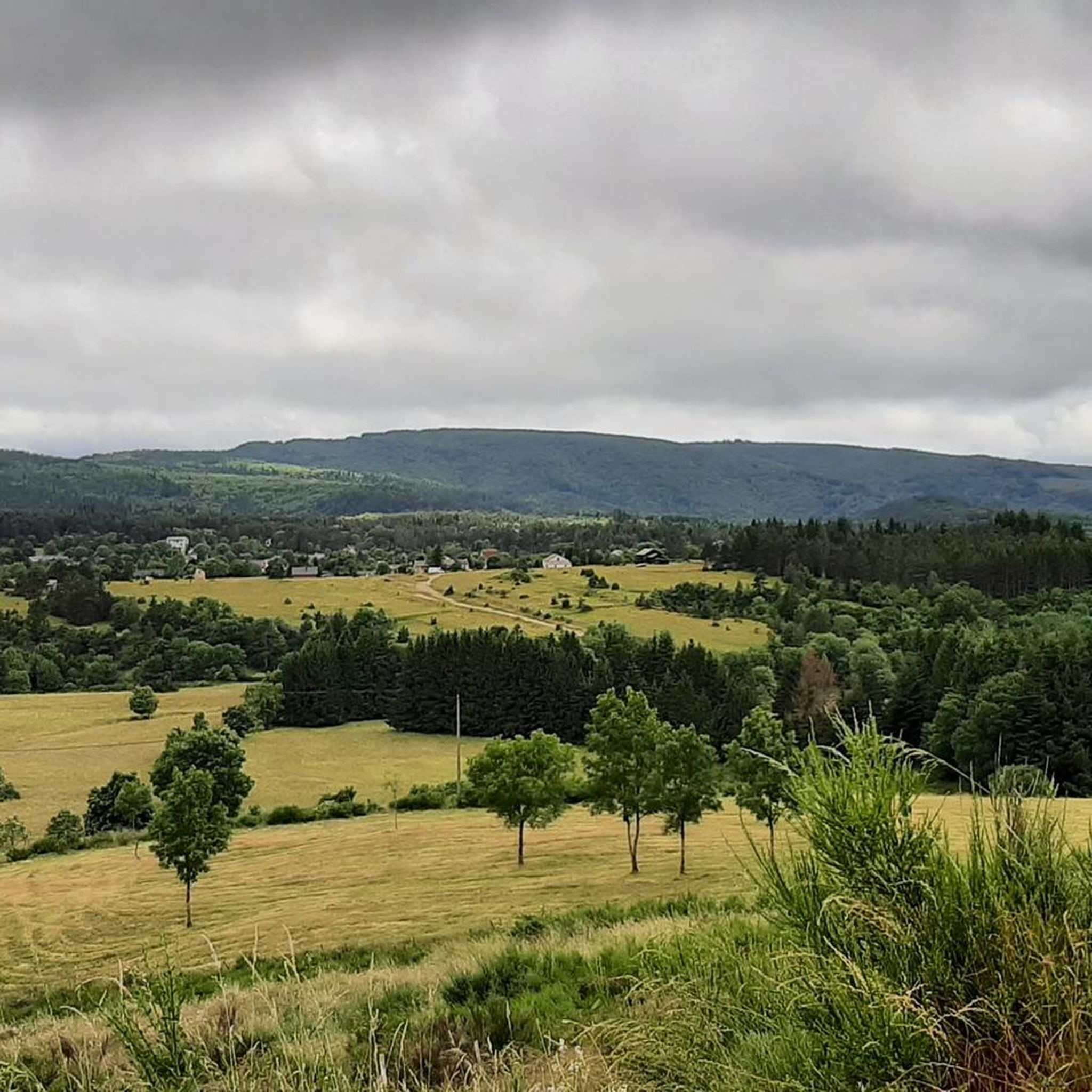
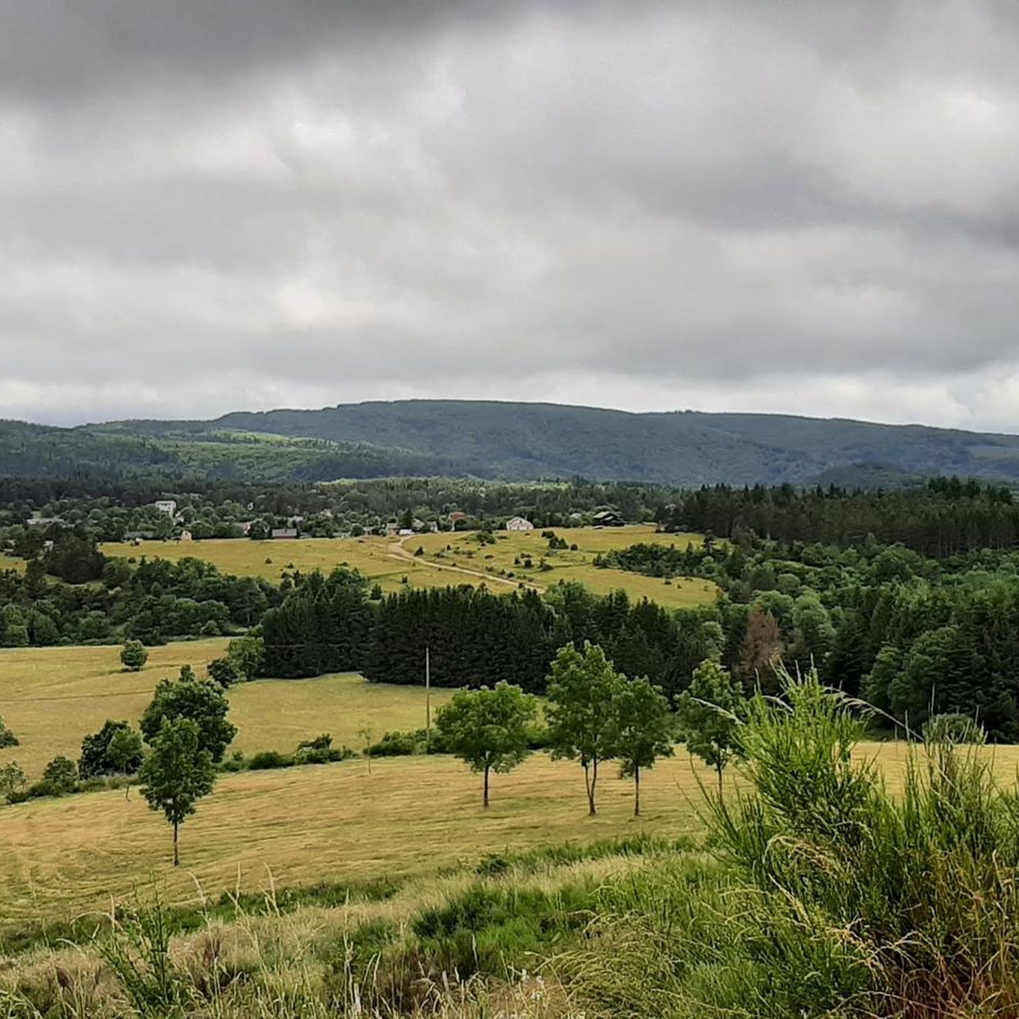
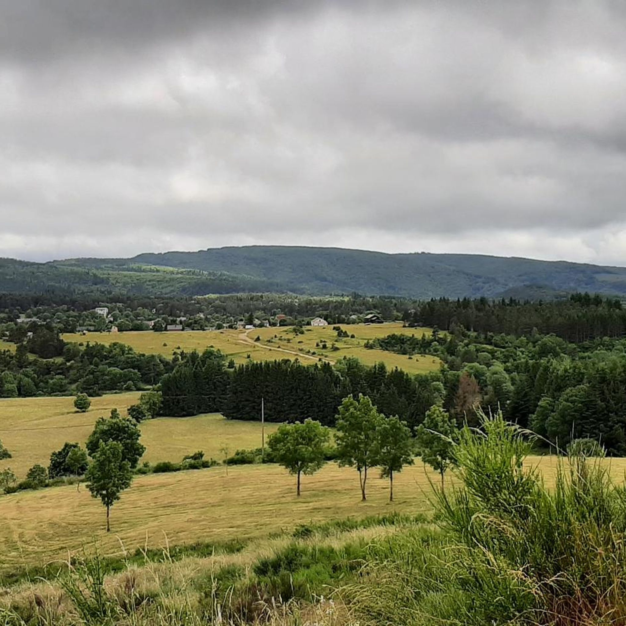
The Vallée du Bonheur offers a magnificent setting for a hike between pastures and a forest typical of the agropastoralism of the region.
0
0
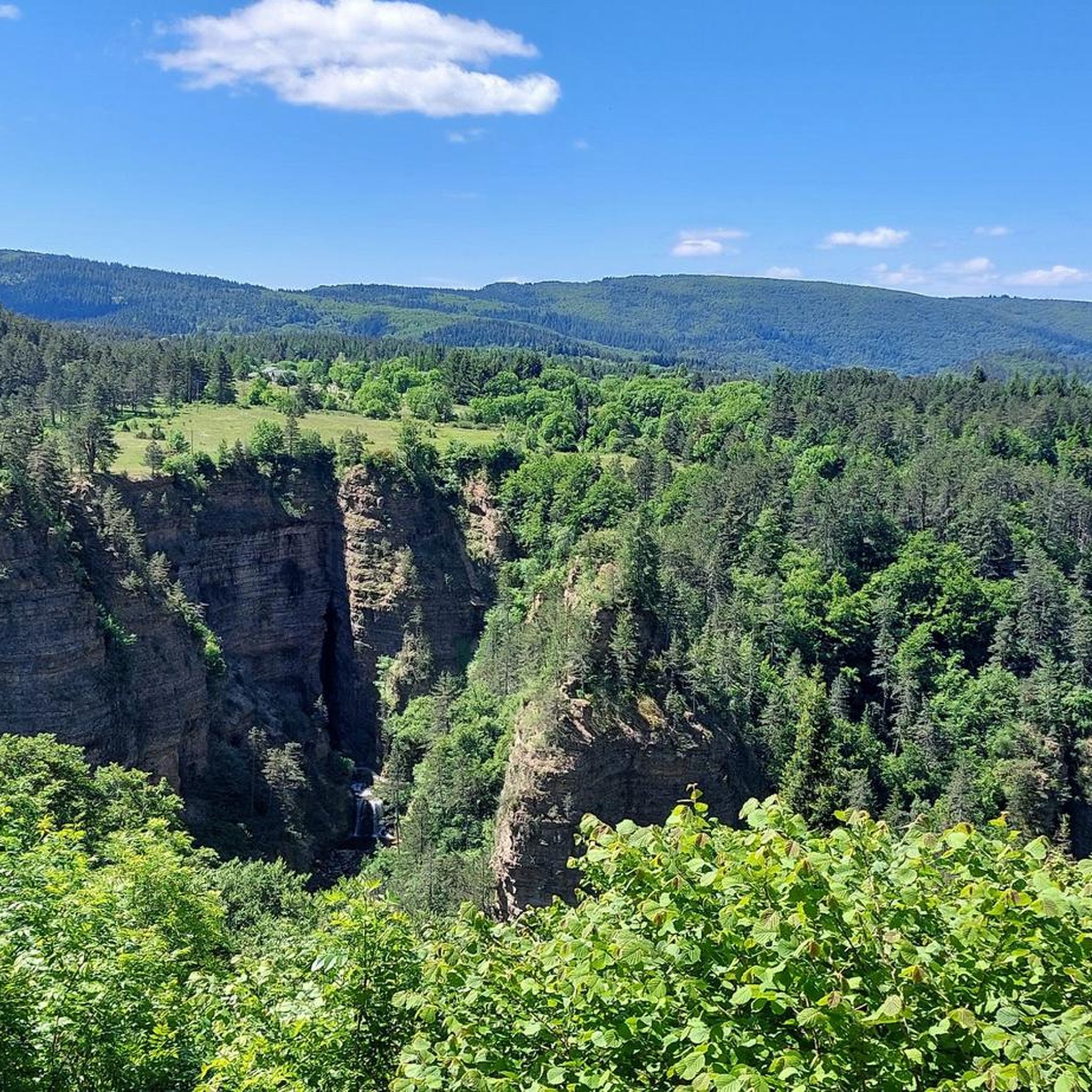
The Lac du Bonheur (or Lac de Camprieu) is a pleasant place with its landscaped banks. It is fed by the Bonheur River, which has its source at Mont Aigoual. A little downstream, the river goes underground at the Perte du Bonheur, before resurfacing at the abyss of Bramabiau.
1
0
Frequently Asked Questions
What kind of terrain can I expect on the running routes around Saint-Sauveur-Camprieu?
The region offers a diverse landscape for runners, featuring a mix of pastures, dense forests, and scenic valleys. The geology is varied, with schist, granite, and limestone contributing to different trail surfaces. You'll find routes along the Bonheur River and around tranquil lakes, providing a varied and engaging experience.
Are there running routes suitable for beginners or those looking for an easy jog?
Yes, Saint-Sauveur-Camprieu offers routes for various ability levels. While the guide highlights several moderate and difficult options, there are also easier paths available. For example, the Aven du Balset loop from Saint-Sauveur-Camprieu is a moderate 5.7 km route with minimal elevation gain, making it a good choice for a less strenuous run.
What are some notable natural features or landmarks I might see while running in the area?
You'll encounter several impressive natural features. The picturesque Valley of Happiness is a highlight, featuring the tranquil Lac du Bonheur and the dramatic Abîme de Bramabiau, where the Bonheur River emerges from underground. The area is also near the Mont Aigoual Massif, offering expansive forests and potential viewpoints. You might also spot the Dinosaur Footprints on some trails.
Are there any circular running routes available in Saint-Sauveur-Camprieu?
Yes, many of the running routes in Saint-Sauveur-Camprieu are circular, allowing you to start and end in the same location. A popular option is the Lake Bonheur loop from Saint-Sauveur-Camprieu, which is 8.4 km long and takes you around the scenic lake. Another is the Valley of Happiness loop from Saint-Sauveur-Camprieu, a 5.8 km moderate route.
What is the best time of year to go running in Saint-Sauveur-Camprieu?
The Cévennes National Park, where Saint-Sauveur-Camprieu is located, offers beautiful conditions for running during spring, summer, and early autumn. These seasons provide pleasant temperatures and lush scenery. While winter running is possible, some higher elevation trails might be affected by snow or colder conditions, so checking local weather is advisable.
Are there any running routes with significant elevation changes for a more challenging workout?
Absolutely. The proximity to the Mont Aigoual Massif means there are opportunities for more challenging runs with significant elevation gains. For instance, the Valley of Happiness – Lake Bonheur loop from Saint-Sauveur-Camprieu is a difficult 24.2 km path with over 630 meters of elevation gain, perfect for experienced runners seeking a demanding workout.
Can I bring my dog on the running trails in Saint-Sauveur-Camprieu?
As Saint-Sauveur-Camprieu is situated within the Cévennes National Park, it's generally possible to bring dogs on trails, but they must be kept on a leash to protect wildlife and ensure the safety of other visitors. Always check specific trail regulations or local signage for any restrictions before heading out with your pet.
Are there family-friendly running routes in the area?
Yes, many of the less strenuous and shorter routes are suitable for families who enjoy jogging together. Paths around Lac du Bonheur or within the Arboretum de Saint-Sauveur-des-Pourcils offer relatively flat and accessible terrain, making them enjoyable for all ages. Always consider the distance and elevation profile to match your family's fitness level.
Where can I find parking for the running routes in Saint-Sauveur-Camprieu?
Parking is generally available in and around Saint-Sauveur-Camprieu, especially near popular trailheads or village centers. For routes starting directly from the village, you'll typically find designated parking areas. For specific routes, it's always a good idea to check the route details on komoot, as many tours include information about starting points and parking options.
What do other runners enjoy most about jogging in Saint-Sauveur-Camprieu?
The running routes in Saint-Sauveur-Camprieu are highly rated by the komoot community, with an average score of 4.7 stars from over 9 reviews. Runners often praise the varied terrain, the dense forests providing shade, and the scenic valleys. The presence of tranquil lakes like Lac du Bonheur and impressive natural monuments like Abîme de Bramabiau also contribute to a highly enjoyable experience.
Are there any historical trails that can be used for jogging?
Yes, the region features historical paths that can be adapted for jogging, offering a blend of exercise and cultural discovery. The 'Sentier des Morts' (Path of the Dead), for example, is a historical route connecting Camprieu to Saint-Sauveur-des-Pourcils. While traditionally a hike, its 7 km loop with 160m of elevation gain can be a rewarding run for those interested in the area's heritage. More information can be found on Tourism Gard.
How many running routes are available around Saint-Sauveur-Camprieu?
There are over 10 dedicated running routes around Saint-Sauveur-Camprieu listed on komoot, offering a wide range of distances and difficulty levels. This extensive network ensures options for every runner, from easy loops to challenging trails with significant elevation changes.
Most popular routes around Saint-Sauveur-Camprieu
Most popular attractions around Saint-Sauveur-Camprieu

Get inspired with the komoot mobile app


Explore more
Browse the best Running Trails & Routes in other regions.
