The best gravel rides around Montpeyroux
4.2
(55)
429
riders
23
rides
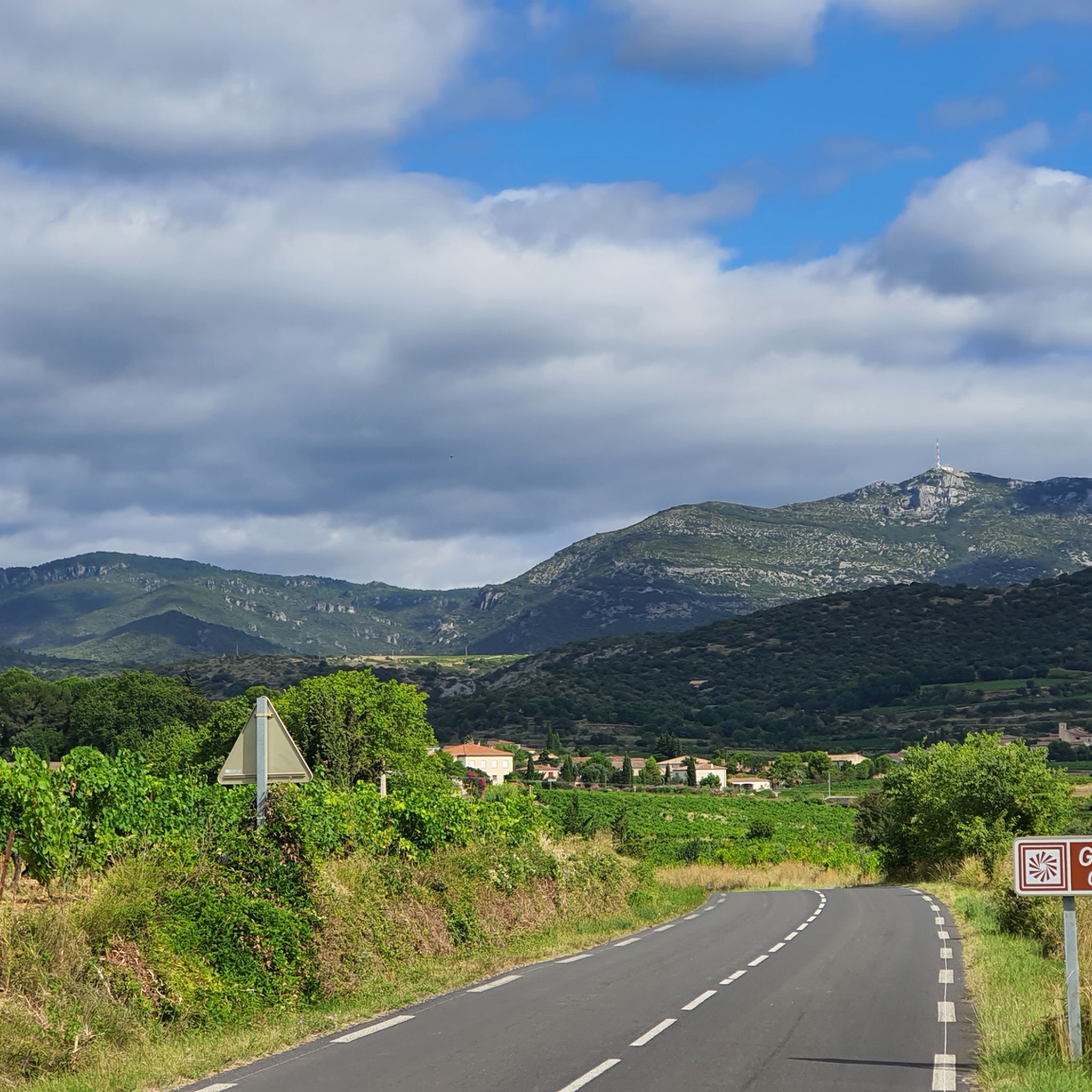
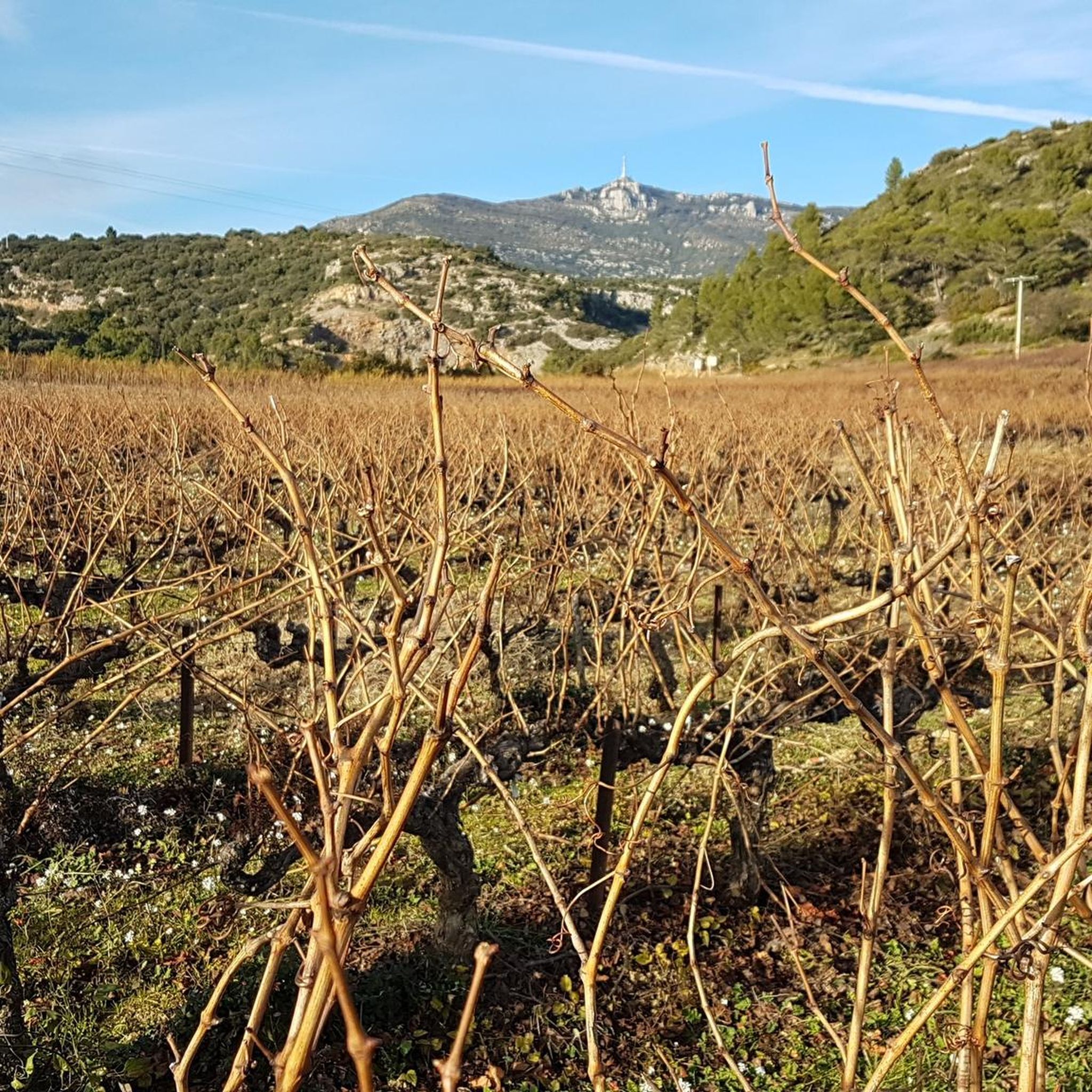
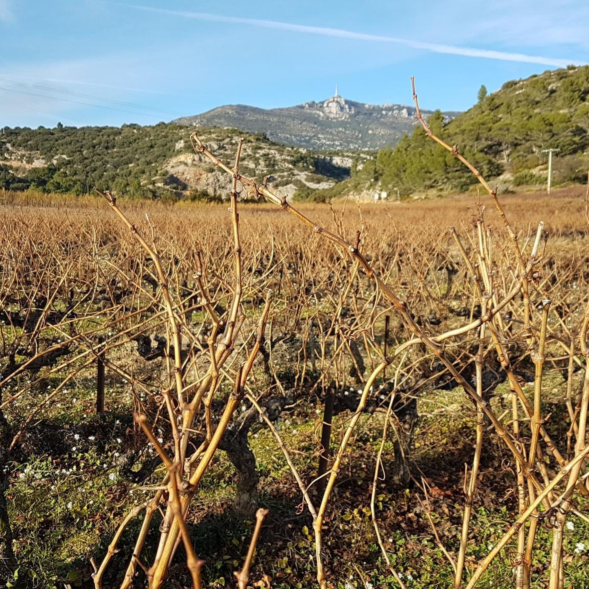
Gravel biking around Montpeyroux features diverse terrain characterized by rolling hills, rocky outcrops, and dense Mediterranean vegetation. The region includes notable elevations such as Mont Saint-Baudille and various "cols" or passes, offering varied gradients for cycling. Gravel routes often traverse vineyards, olive groves, and forested areas, providing a mix of surfaces from compacted earth to loose gravel. The landscape is shaped by ancient riverbeds and limestone formations, creating a dynamic environment for off-road cycling.
Best gravel bike trails around Montpeyroux
…Last updated: July 3, 2026
4.5
(42)
302
riders
35.3km
02:25
480m
480m
Hard gravel ride. Very good fitness required. Mostly paved surfaces. Suitable for all skill levels.
3.5
(2)
22
riders
66.1km
04:59
1,170m
1,170m
Hard gravel ride. Very good fitness required. Mostly paved surfaces. Suitable for all skill levels.

Sign up for free
4.0
(1)
14
riders
Hard gravel ride. Very good fitness required. You may need to push your bike for some segments of this route.
3.5
(2)
13
riders
48.9km
03:14
740m
740m
Hard gravel ride. Very good fitness required. Mostly paved surfaces. Suitable for all skill levels.
5
riders
Moderate gravel ride. Good fitness required. Mostly paved surfaces. Suitable for all skill levels.
Get access to more routes and recommendations from other explorers.
Sign up for free
Already have an account?
Our route recommendations are based on thousands of hikes, rides, and runs completed by other people on komoot.
Start today with a free account
Your next adventure awaits.
Login or Signup
Tips from the Community

One of the most beautiful lakes in France, clearly!!
0
0
One of the most beautiful lakes in France, clearly!!
0
0
Cross the dam and climb up to admire the lake from the heights, it's magnificent !!
0
0
One of the most beautiful lakes in France, clearly !!
0
0
Magnificent terrain, it's fun on gravel, and surely even more so on a mountain bike! Plus the scenery is too beautiful!!
0
0
One of the most beautiful lakes in France, clearly!!
0
0
One of the most beautiful lakes in France, clearly, it's worth it and the trail is super smooth too, pure bliss!!
0
0

Beautiful views on both sides of the path.
0
0
Frequently Asked Questions
What are the difficulty levels of gravel bike trails around Montpeyroux?
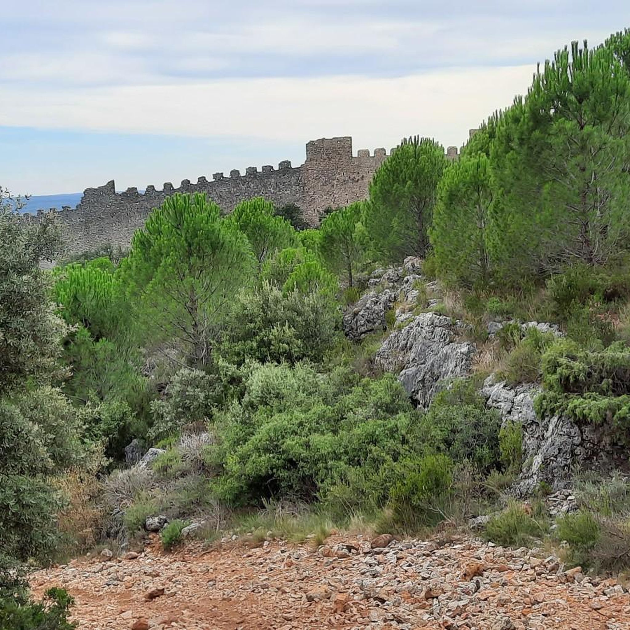
The gravel biking routes around Montpeyroux primarily feature moderate and difficult trails. You'll find 8 moderate routes and 22 difficult routes, offering a good challenge for experienced riders. For example, the Ridges of the Rocher des Vierges – The ridges of St Guiraud loop from Saint-André-de-Sangonis is a moderate option, while the The monks' descent – The Castellas of Montpeyroux loop from Montpeyroux is considered difficult.
Are there options for long-distance gravel cycling in Montpeyroux?
Yes, Montpeyroux offers several long-distance gravel cycling options. The longest route available is the Devil's Bridge – Ridges of the Rocher des Vierges loop from Gignac, which spans 41.2 miles (66 km) and features significant elevation gain. Another substantial ride is the Col du Vent (703 m) – Ridges of the Rocher des Vierges loop from Saint-Félix-de-Lodez, covering 39 miles (62.8 km).
Where can I find parking for gravel bike trails in Montpeyroux?
Many gravel bike trails in the Montpeyroux region start from nearby villages and towns. You can typically find public parking in the starting locations of routes, such as Gignac, Saint-Jean-de-Fos, Saint-André-de-Sangonis, Montpeyroux itself, or Saint-Félix-de-Lodez. It's advisable to check local parking regulations upon arrival.
Is public transport available to access gravel bike trails in Montpeyroux?
Access to trailheads by public transport can vary. While Montpeyroux and surrounding villages are served by regional bus lines, direct access to specific trail starting points might require some planning. We recommend checking local bus schedules and routes from larger towns like Montpellier or Clermont-l'Hérault to the villages closest to your chosen gravel route.
Are there any family-friendly gravel bike trails suitable for beginners around Montpeyroux?
While most routes in Montpeyroux are rated moderate to difficult, some of the shorter, moderate loops might be suitable for families with some gravel biking experience. There are no routes specifically classified as 'easy' in the immediate area, but the region's diverse terrain means you can find less technical sections on certain trails. Always review the route details and elevation profiles to ensure it matches your family's ability.
What is the best season for gravel biking in Montpeyroux?
The best seasons for gravel biking in Montpeyroux are typically spring (April to June) and autumn (September to November). During these periods, the weather is generally mild, and the landscapes are vibrant. Summers can be very hot, making early morning or late afternoon rides preferable, while winters are usually mild but can bring occasional rain.
Are there scenic viewpoints on Montpeyroux gravel routes?
Absolutely. The gravel routes around Montpeyroux offer numerous scenic viewpoints. For instance, the Mont Saint-Baudille Summit – Col du Vent (703 m) loop from Saint-Jean-de-Fos includes a challenging ascent to Mont Saint-Baudille Summit, which provides panoramic views of the surrounding region. You can also find breathtaking vistas at highlights like Mont Saint-Baudille Summit and Les Fenestrettes – Views of the Cirque de l'Infernet.
What can I see along the gravel bike trails in Montpeyroux?
The gravel trails in Montpeyroux traverse a rich landscape with several notable attractions. You can encounter historical sites like Saint-Guilhem-le-Désert, natural wonders such as the Devil's Bridge, and impressive geological formations like the Cirque de l'Infernet. The routes also pass through vineyards, olive groves, and forested areas, offering diverse scenery.
What do other gravel bikers enjoy the most about gravel biking in Montpeyroux?
The Montpeyroux area is highly rated by the komoot community, with an average score of 4.2 stars from over 40 reviews. Reviewers often praise the region's diverse terrain, which includes rocky ridges, vineyard paths, and challenging climbs to summits. The mix of natural beauty and varied surfaces makes for an engaging gravel biking experience.
Are there any circular gravel bike routes around Montpeyroux?
Yes, many of the gravel bike routes in Montpeyroux are designed as circular loops, allowing you to start and finish in the same location. Examples include the Devil's Bridge – Ridges of the Rocher des Vierges loop from Gignac and the Mont Saint-Baudille Summit – Col du Vent (703 m) loop from Saint-Jean-de-Fos. These loops offer convenience and a comprehensive exploration of the local landscape.
Are there places to stop for refreshments or cafes along the gravel routes?
While the routes themselves often traverse natural and rural areas, many start or pass through villages where you can find cafes, bakeries, or small shops. For longer rides, it's always a good idea to carry sufficient water and snacks, especially when venturing into more remote sections. Checking the route map for villages or towns along your chosen path can help you plan refreshment stops.
Most popular routes around Montpeyroux
Most popular attractions around Montpeyroux

Get inspired with the komoot mobile app


Explore more
Browse the best Gravel rides in other regions.
