The best walks and hikes around Montpeyroux
4.5
(539)
3,379
hikers
26
hikes
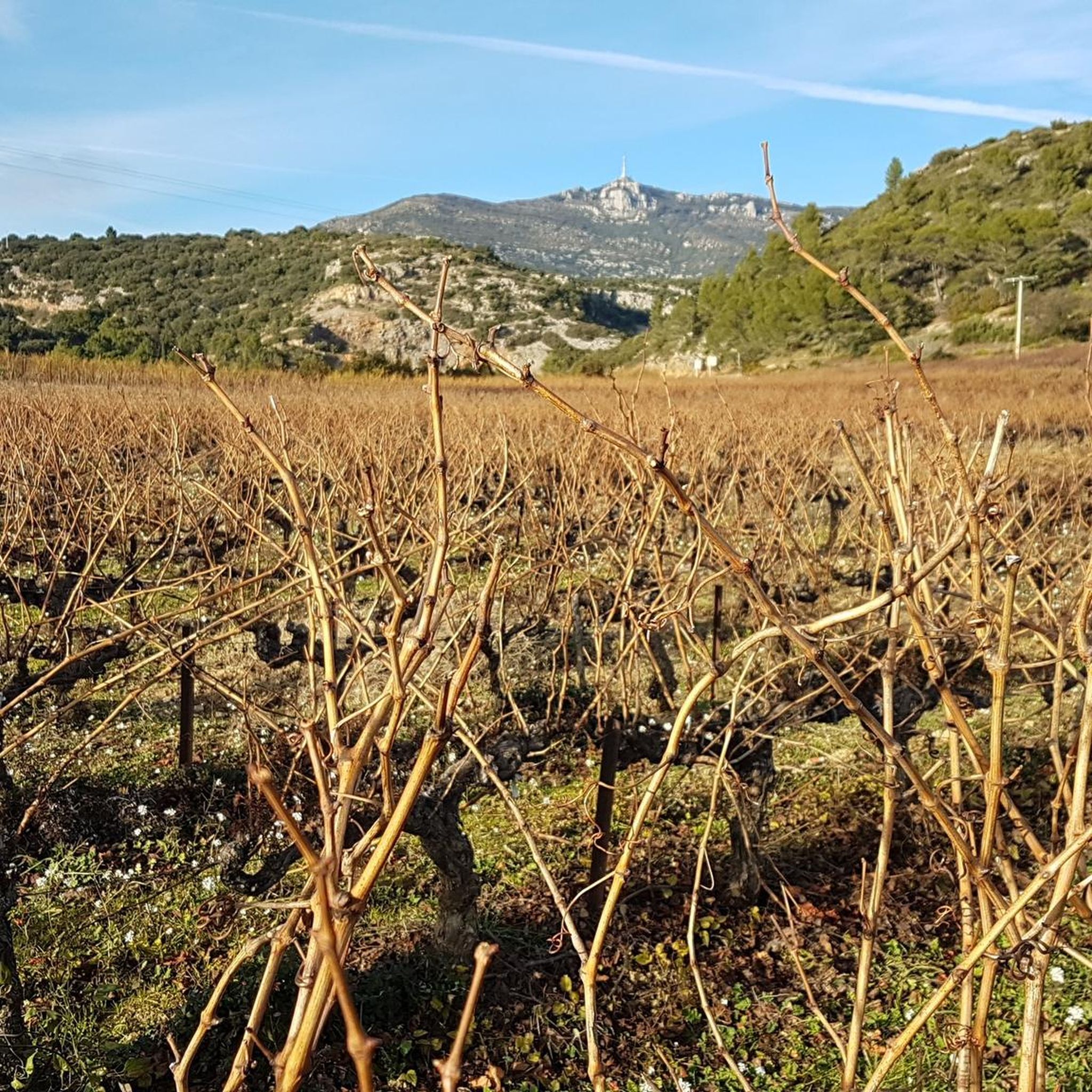
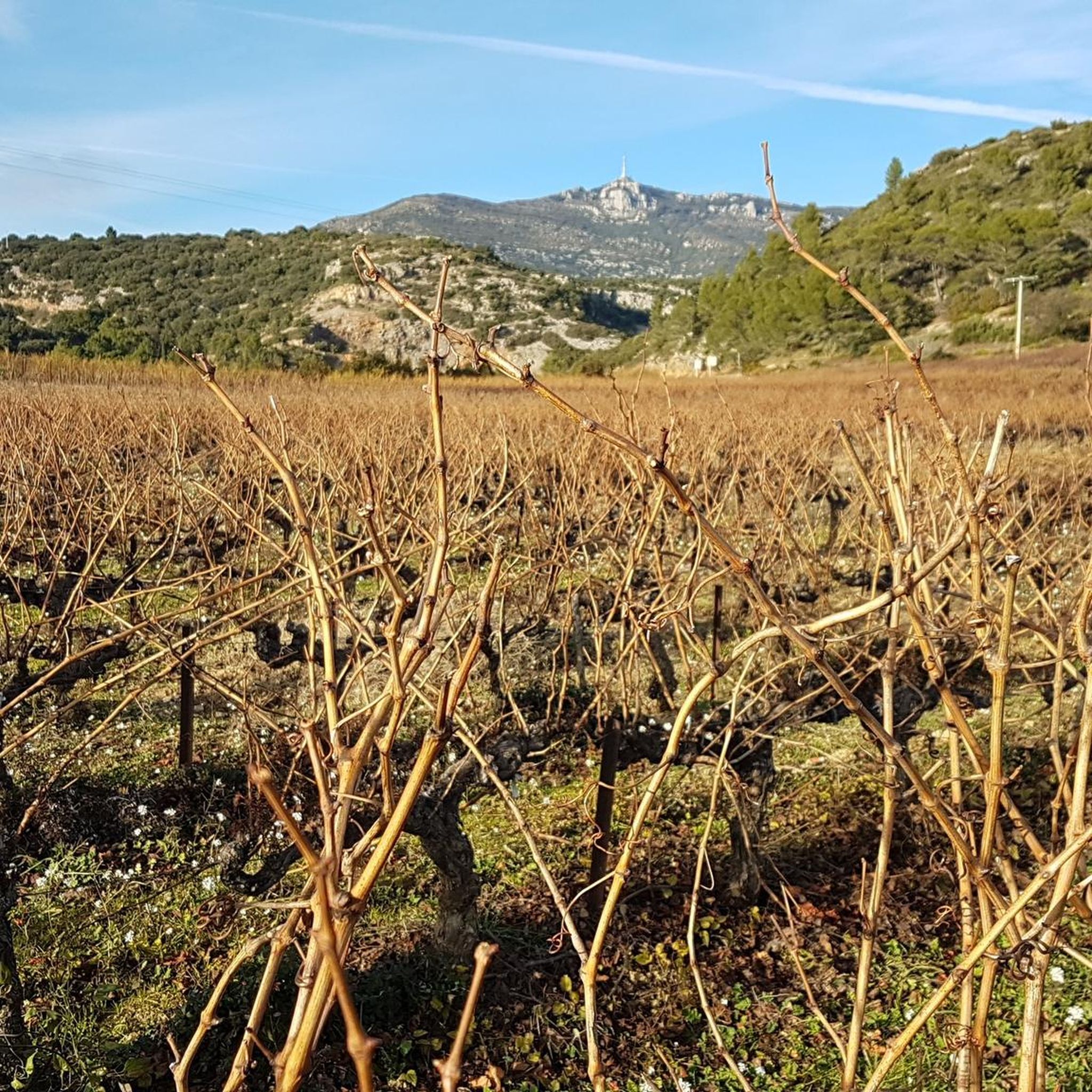
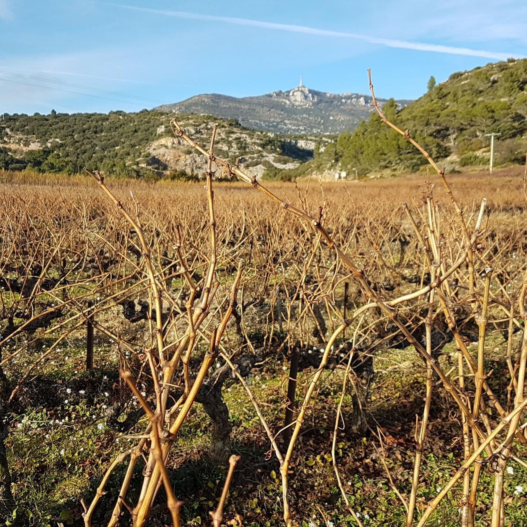
Hiking around Montpeyroux offers varied terrain, from the panoramic views of Mont Saint-Baudille to the dramatic Hérault Gorges. The landscape is characterized by arkose geology, creating a distinctive reddish stone, and extensive vineyards. Hikers can explore paths along the Salagou Dam reservoir and through areas with historical structures like the Devil's Bridge and the medieval donjon. This region provides a diverse natural setting for outdoor activities.
Best hiking trails around Montpeyroux
- The most popular hiking route is Le mont Saint-Baudille – loop from the parking lot of the bergerie de la Font-du-Griffe, a 6.2 miles (10.0 km) trail that takes 3 hours 12 minutes to complete, offering expansive views of the Hérault plain and the Mediterranean Sea.
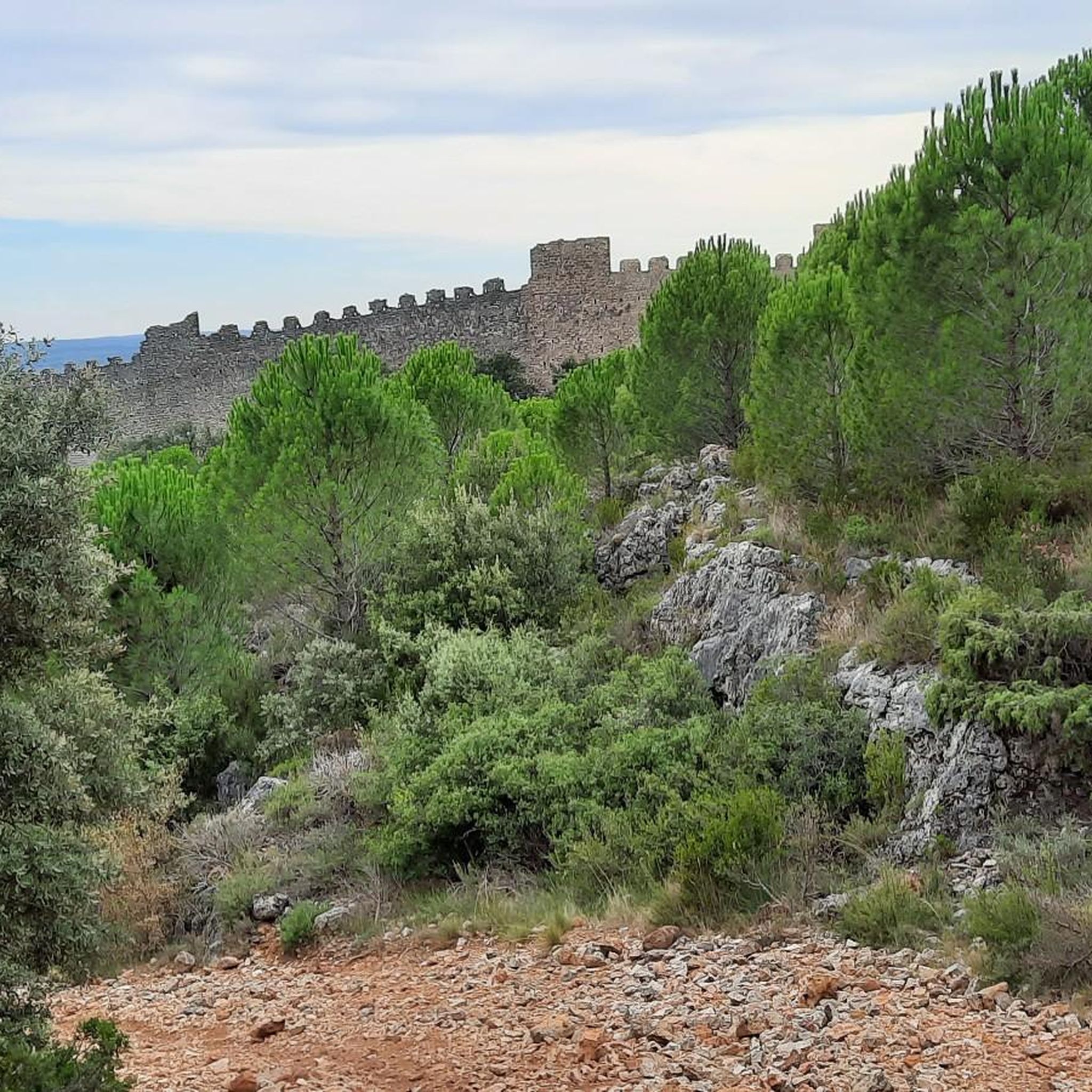
- Another top favourite among local hikers is Castellas de Montpeyroux Loop, a moderate 9.5 miles (15.3 km) path. This route features panoramic vistas, vineyards, and passes by a medieval fortress.
- Local hikers also love the Le Castellas de Montpeyroux – loop from Montpeyroux, a 6.3 miles (10.1 km) trail leading through vineyards and offering views of the Castellas, often completed in about 3 hours 1 minute.
- Hiking around Montpeyroux is defined by prominent hills like Mont Saint-Baudille, dramatic gorges, and extensive vineyards. The network offers options for various ability levels, from accessible paths to more challenging treks.
- The routes in Montpeyroux are highly rated by the komoot community with an average score of 4.6 stars from over 400 reviews. More than 3000 hikers have used komoot to explore Montpeyroux's varied terrain.
Last updated: July 7, 2026
4.9
(37)
257
hikers
Moderate hike. Good fitness required. Easily-accessible paths. Suitable for all skill levels.
4.4
(21)
149
hikers
15.3km
04:30
450m
450m
Hike the moderate 9.5-mile Castellas de Montpeyroux Loop, featuring panoramic views, vineyards, and a medieval fortress.

Sign up for free
4.7
(27)
118
hikers
10.1km
03:00
310m
310m
Moderate hike. Good fitness required. Easily-accessible paths. Suitable for all skill levels.
4.7
(27)
117
hikers
Moderate hike. Good fitness required. Easily-accessible paths. Suitable for all skill levels.
4.5
(2)
29
hikers
7.54km
02:09
170m
170m
Moderate hike. Good fitness required. Easily-accessible paths. Suitable for all skill levels.
Get access to more routes and recommendations from other explorers.
Sign up for free
Already have an account?
Our route recommendations are based on thousands of hikes, rides, and runs completed by other people on komoot.
Start today with a free account
Your next adventure awaits.
Login or Signup
Tips from the Community

A beautiful crossing over the old Rouvignous bridge, cobbled and full of charm. The short gravel climb that follows presents no particular problems, apart from the steep gradient.
0
0

The mountain bike climb up the north face is very steep and stony, and we did most of it on foot. The descent to the northeast to Mas d'Aubert is easy.
0
0

Don't cycle through it! The path is impassable.
0
0

Beware of the wind and the cold once at the top
0
0
Don't hesitate to take a little wool 😅
0
0

Cave that does not pose any danger, except to venture there without light. Short cave of about 40m. Dry and degraded concretions. it is worth the detour, but nothing impressive either. Just follow the Joncas river then climb to the heights following the cairns and footprints.
2
0

The Fairy Cave is a mysterious and enchanting place. Nestled deep in the forest, this cave is home to amazing rock formations and local legends.
0
0

Above all, Mont Saint-Baudille offers magnificent views of the surrounding region and rewards the ascent with a refreshing breeze in summer (bring mittens in winter). It is surrounded by mountain bike trails, hiking trails and climbing points. By bike, the ascent is difficult due to the slope, especially coming from Arboras. The road is quite comfortable for road bikes.
0
0
Frequently Asked Questions
How many hiking trails are available around Montpeyroux?
Based on komoot data, there are over 25 hiking routes in the Montpeyroux area, catering to various skill levels. You'll find options ranging from easy strolls to more challenging treks.
What kind of difficulty levels can I expect for hikes in Montpeyroux?
The region offers a good mix of trails. You'll find 4 easy routes perfect for a relaxed walk, 17 moderate trails for those seeking a bit more challenge, and 5 difficult routes for experienced hikers looking for a strenuous adventure.
Are there any circular hiking routes in Montpeyroux?
Yes, many of the trails around Montpeyroux are circular, allowing you to start and end in the same location. For example, the Le mont Saint-Baudille – loop from the parking lot of the bergerie de la Font-du-Griffe is a popular moderate loop offering expansive views.
What are some notable natural features or landmarks to see while hiking?
Montpeyroux is rich in natural beauty and historical sites. You can explore the dramatic Hérault Gorges, visit the medieval Devil's Bridge, or enjoy panoramic views from Mont Saint-Baudille. The landscape also features extensive vineyards and the distinctive reddish arkose geology.
Are there any family-friendly hiking options in Montpeyroux?
While specific family-friendly routes aren't detailed, the presence of 4 easy trails suggests suitable options for families. These typically have less elevation gain and shorter distances, making them enjoyable for all ages. Look for routes with lower difficulty ratings.
Can I bring my dog on the hiking trails in Montpeyroux?
Generally, dogs are welcome on many hiking trails in natural areas, especially if kept on a leash. However, it's always advisable to check local regulations for specific trails or protected areas to ensure dog access is permitted.
What kind of views can I expect on hikes around Montpeyroux?
The region is known for its stunning vistas. From Mont Saint-Baudille, you can enjoy breathtaking panoramic views of the Hérault plain, the Mediterranean Sea, Pic Saint Loup, and even the distant Canigou mountains. Trails often pass through vineyards and offer glimpses of historical structures like the Castellas de Montpeyroux.
Are there any hikes that pass by vineyards or offer wine-related experiences?
Absolutely. The region is famous for its vineyards. The Castellas de Montpeyroux Loop, for instance, features panoramic vistas and winds through vineyards. The OENORANDO® DE CASTELBARRY is also a dedicated trail through vineyards and olive groves.
What do other hikers enjoy the most about hiking in Montpeyroux?
The area is highly rated by the komoot community, with an average score of 4.6 stars from over 400 reviews. Reviewers often praise the diverse terrain, the stunning panoramic views, and the integration of historical sites and vineyards into the hiking experience.
Are there any hikes that include historical sites or medieval structures?
Yes, Montpeyroux is rich in history. The Le Castellas de Montpeyroux – loop from Montpeyroux leads through vineyards and offers views of the Castellas, a medieval fortress. The village itself, with its fortified gate and donjon, serves as a charming starting point for walks.
What is the best time of year to go hiking in Montpeyroux?
Montpeyroux offers pleasant hiking conditions for much of the year. Spring and autumn are particularly ideal, with milder temperatures and vibrant landscapes. Summer can be warm, so early morning or late afternoon hikes are recommended. Winter offers a different charm, with crisp air and fewer crowds.
Are there any hikes near water bodies like lakes or gorges?
Yes, the region features the dramatic Hérault Gorges and the Salagou Dam, which creates a reservoir. You can find highlights like the Salagou Dam and the Devil's Bridge within the gorges, offering picturesque views and unique natural formations.
How long do hikes typically take in Montpeyroux?
Hike durations vary significantly based on the route. For example, the View of Château de Montferrand – Old Bridge over the Rouvignous loop from Montpeyroux is about 10 km and takes around 3 hours. Shorter, easier trails might take an hour or two, while longer, more challenging routes can extend to 4-5 hours or more.
Most popular routes around Montpeyroux
Most popular attractions around Montpeyroux

Get inspired with the komoot mobile app


Explore more
Browse the best Hikes in other regions.
