The best gravel rides around Portiragnes
4.3
(146)
898
riders
73
rides
Gravel biking around Portiragnes offers diverse terrain along the Mediterranean coast of France. The region is characterized by its extensive wetlands, including the Natura 2000 site Grande Maïre and the Portiragnes Ponds, alongside the historic Canal du Midi. Riders can explore fine sandy beaches, agricultural landscapes, and paths along the canal. This area combines natural preservation with accessible routes for gravel cyclists.
Best gravel bike trails around Portiragnes
- The most popular gravel bike trail is Voie Verte Canal du Midi…
Last updated: November 3, 2026
4.2
(6)
47
riders
Moderate gravel ride. Good fitness required. Mostly paved surfaces.
4.6
(19)
134
riders
Moderate gravel ride. Good fitness required. Mostly paved surfaces.

4.8
(4)
26
riders
55.7km
03:18
170m
170m
Moderate gravel ride. Good fitness required. Mostly paved surfaces.
3.4
(13)
41
riders
34.0km
01:53
30m
30m
Easy gravel ride. Mostly paved surfaces.
12
riders
Easy gravel ride. Mostly paved surfaces.
Get access to more routes and recommendations from other explorers.
Already have an account?
Our route recommendations are based on thousands of hikes, rides, and runs completed by other people on komoot.
Start today with a free account
Your next adventure awaits.

Tips from the Community

The Étang de Thau is the largest lagoon in Occitania and a species-rich inland sea, separated from the Mediterranean by a narrow sandbank. The waters are the center of South French oyster farming, whose hanging mussel beds shape the landscape. As a nautical hub, the lagoon also connects the famous Canal du Midi with the Canal du Rhône à Sète. Along the shore, charming towns line up, such as the fishing town of Sète, the vermouth town of Marseillan, and the oyster towns of Bouzigues and Mèze, which can be perfectly explored via the 53-kilometer-long cycling route around the basin.
0
0

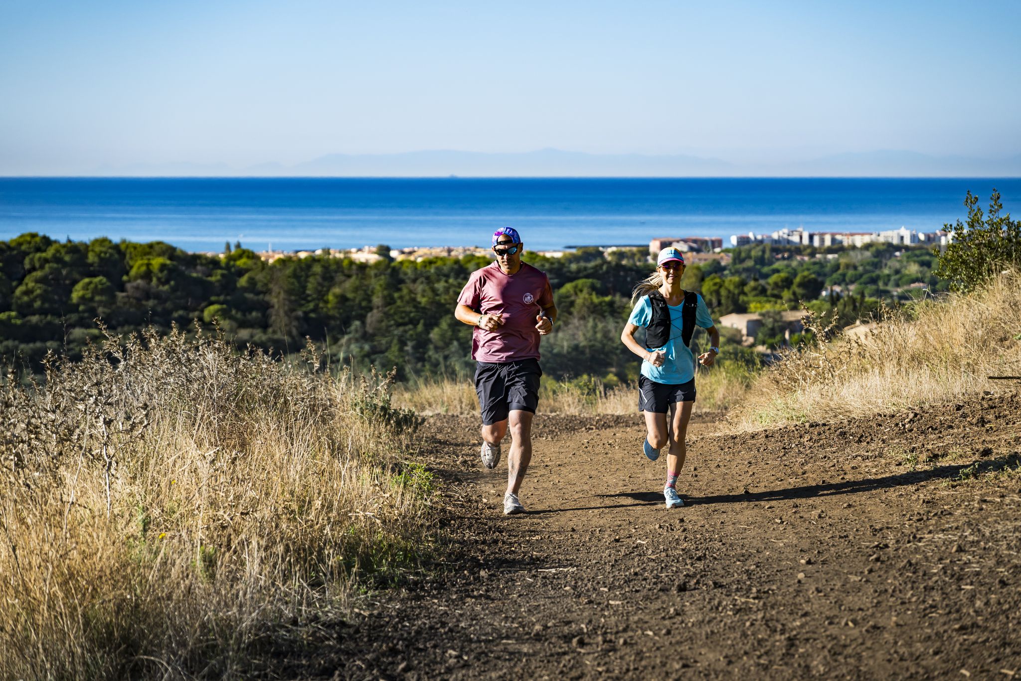
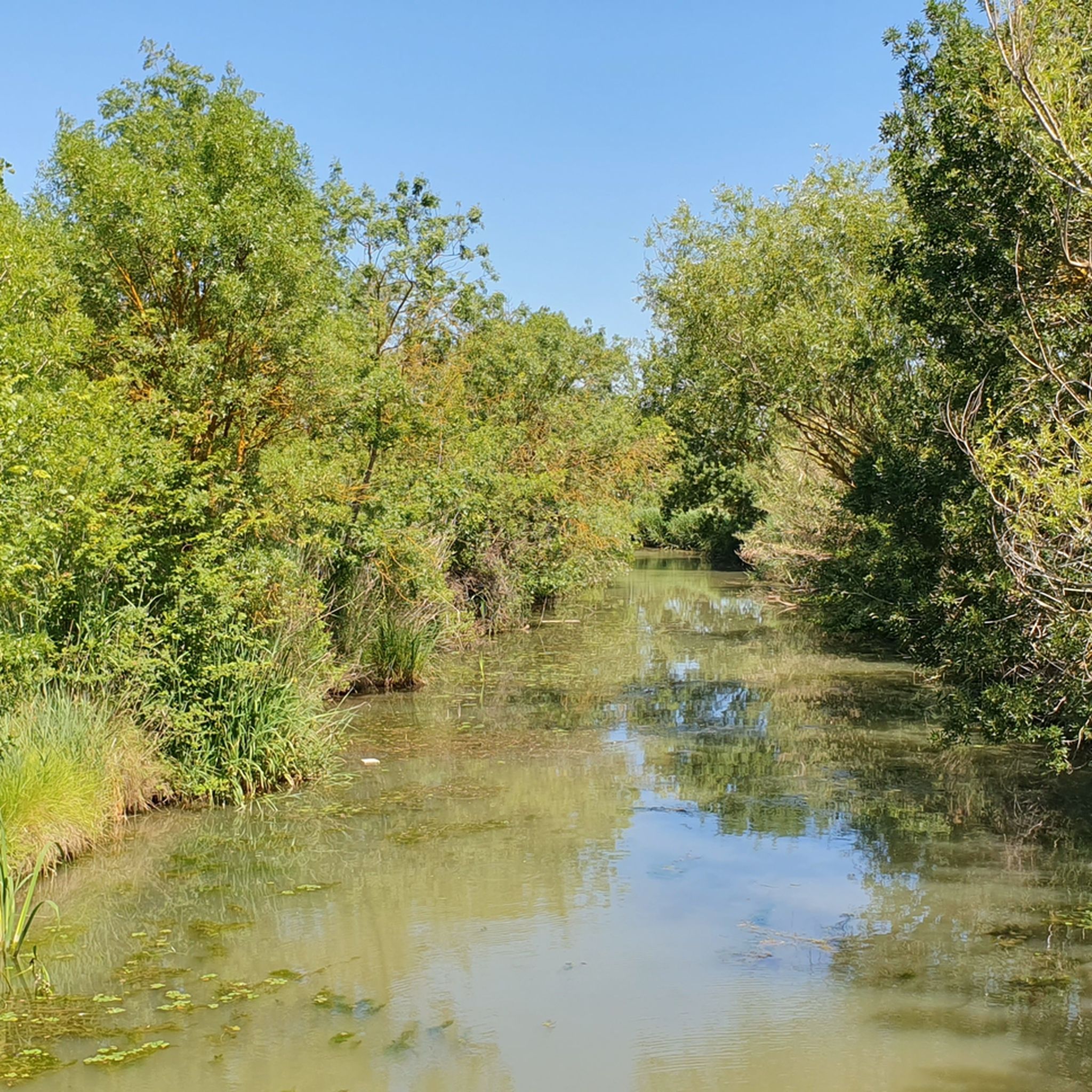
This superb strip of compact earth, by the water, makes for very fast and rolling gravel terrain for trail running, and is very pleasant for walking. Stop by the water to observe the little birds hiding in the shore bushes.
0
0

This remarkable structure composed of mobile aqueducts allows boats navigating the Canal du Midi to cross the small river Libron. Created in 1855 by Urbain Maguès, an engineer also responsible for the bridge-canal of Béziers.
1
0

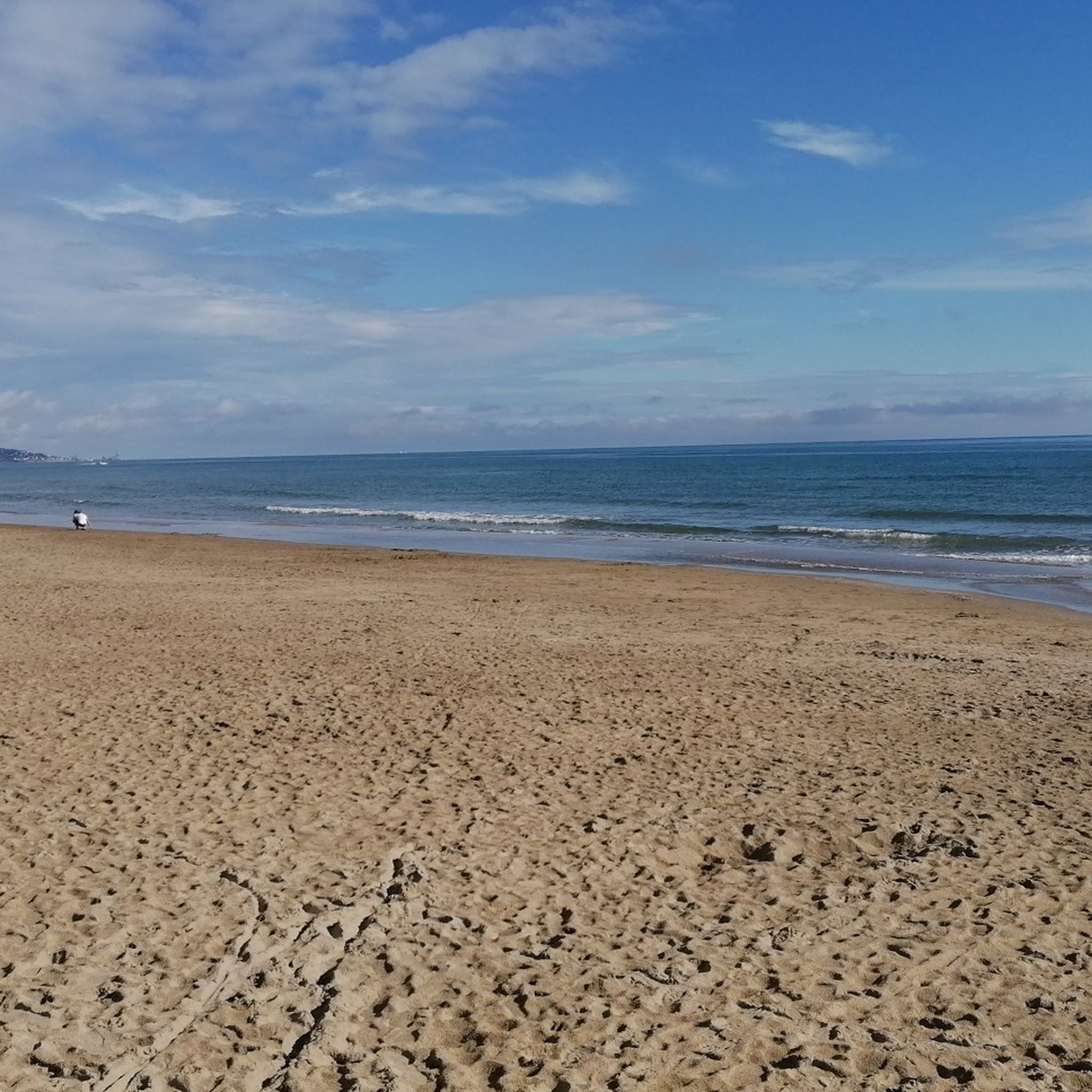
Vias-Plage stretches along five kilometers of fine sandy beaches. On the seafront, a pedestrian promenade, built behind the dunes, allows you to gain a little height over the Mediterranean. The large lettering « #LoveViasMéditerranée », installed on the headland facing the sea, has become an emblematic photo spot of the resort. Also enjoy the many bars, restaurants, and small shops that liven up the promenade.
0
0
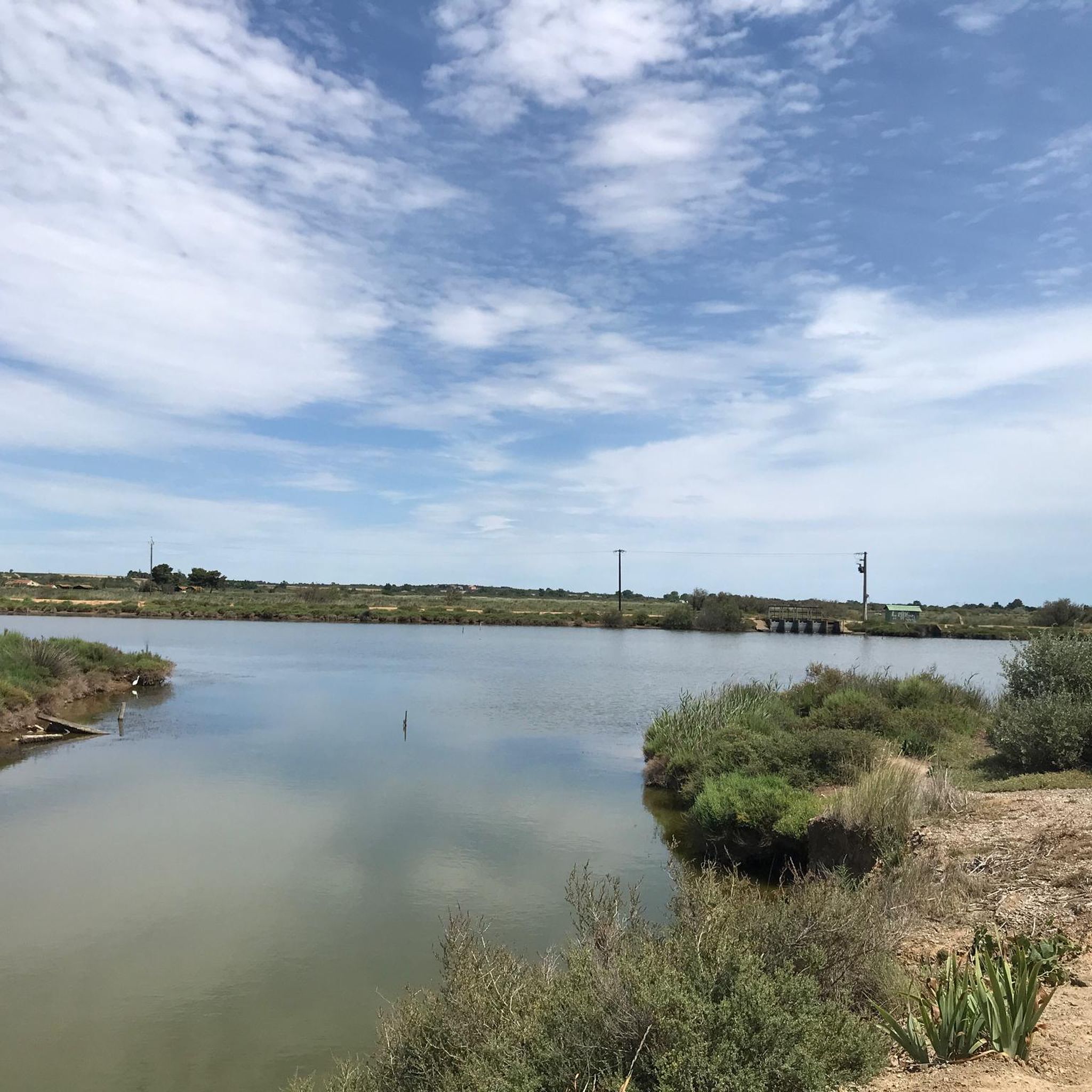
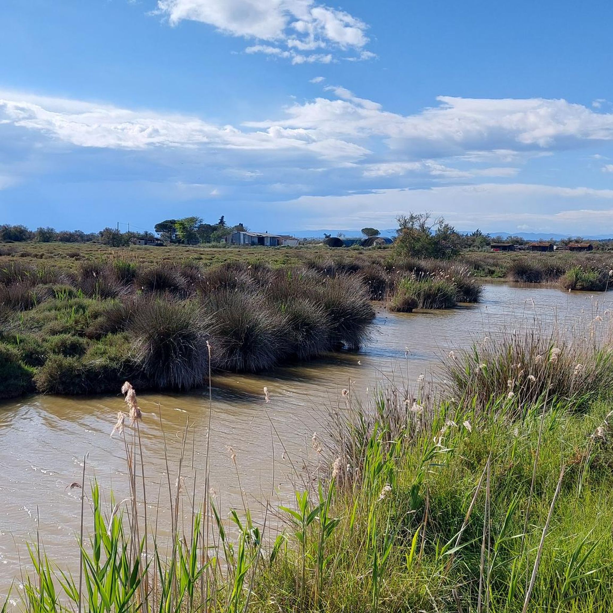
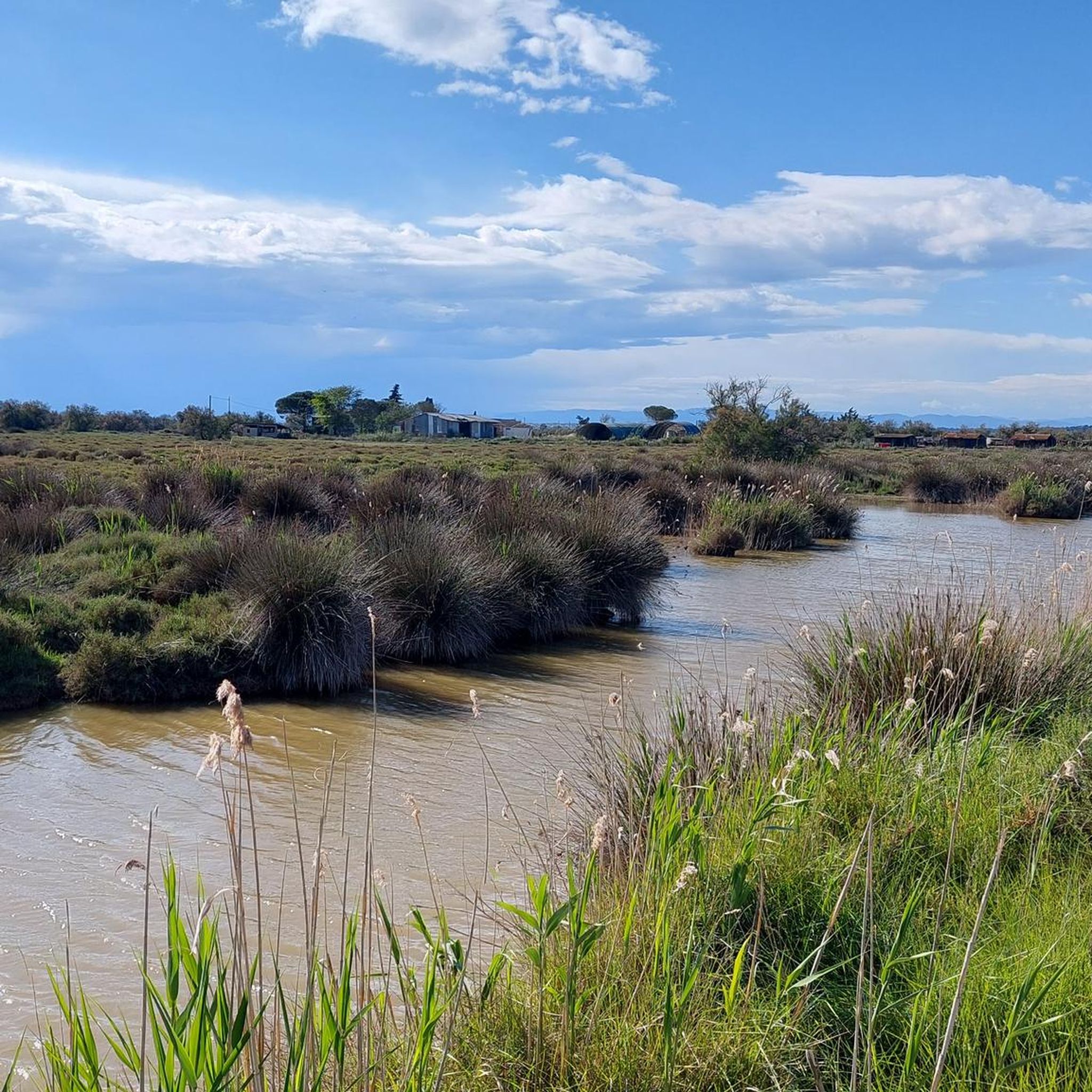
The Grande Maïre educational trail allows you to enjoy this vast wetland. You will see flamingos and other wading birds, which come to take advantage of the richness of the soil to feed.
0
0

🌉 Pont des Trois Yeux – the bridge with the three eyes This unusual old stone bridge stands directly on the Canal du Midi. Its actual name is Pont Saint-Joseph, but it is best known as the “Pont des Trois Yeux” – Bridge of the Three Eyes. 🇫🇷 The name is immediately explained upon closer inspection: the bridge has three arches. The large central arch allowed boats to pass, while the two smaller openings served the water or the towing path at the time. The history of towing is particularly interesting: Before motorboats navigated the canal, the barges were primarily pulled by horses from the bank. 🐴 At many bridges, the tow rope had to be detached and reattached on the other side – such structures today still beautifully illustrate how shipping on the Canal du Midi worked in the past. Another special feature are the overflows on both sides of the bridge, through which excess water could be drained. Not a huge sight, but exactly one of those small historical structures that make a bike tour along the Canal du Midi so interesting. 🚲👌🏼 Greetings Marcus ✌🏼
0
0
😂😂 Apparently, I was already thinking about the second cold blonde. 🫣🍺 🚲 On the Canal du Midi near Vias A really beautiful section on the Canal du Midi near Vias. Sometimes directly along the water, sometimes under shady trees, and in between on small, narrow paths through reeds and nature. 🌿🚲 The alternation between well-developed cycle paths, gravel, and small natural passages makes the route varied. In addition, there are always beautiful views of the canal, passing boats, and that typical relaxed atmosphere of Southern France. 🇫🇷☀️ Especially around Vias, the Canal du Midi can be wonderfully explored by bike – quiet, scenically beautiful, and definitely a section that is worth riding a little slower to enjoy the surroundings. 👌🏼 Greetings Marcus ✌🏼
1
0
The Canal du Midi was built between 1667 and 1681 and stretches for around 240 kilometers from Toulouse to the Étang de Thau. Since 1996, it has been a UNESCO World Heritage site. Over 340 years of history – and yet, it is sometimes the very simple moments by the water that remain the most memorable. 👌🏼 Greetings Marcus ✌🏼
2
0
Frequently Asked Questions
What kind of terrain can I expect on gravel bike trails around Portiragnes?
Portiragnes offers a diverse range of terrain for gravel biking. You'll find coastal paths, extensive wetland trails, and routes winding through vineyards. A significant portion of the trails follows the historic Canal du Midi, featuring both paved and gravel sections. The region's commitment to natural preservation means many routes pass through protected areas like the Grande Maïre wetlands, offering a mix of natural surfaces.
How many gravel bike trails are available in Portiragnes?
There are nearly 100 gravel bike trails around Portiragnes documented on komoot. These routes cater to various skill levels, with 34 easy, 53 moderate, and 11 difficult options, ensuring there's a suitable ride for everyone.
Are there easy gravel bike trails suitable for beginners or families in Portiragnes?
Yes, Portiragnes has plenty of easy gravel bike trails perfect for beginners and families. For instance, the Portiragnes Ponds – Nature Trail by the Wetlands loop from Portiragnes is an easy 7.0-mile (11.2 km) route through the wetlands, often completed in about 45 minutes. Another accessible option is the Portiragnes Ponds – Nature Trail by the Wetlands loop from Portiragnes Plage, which is 21.1 km and also rated easy.
What natural features or landmarks can I see while gravel biking in Portiragnes?
While gravel biking in Portiragnes, you can explore significant natural features and landmarks. The Canal du Midi, a UNESCO World Heritage site, offers extensive cycling opportunities. You'll also encounter the Portiragnes Ponds and the Grande Maïre wetlands, which are vital habitats for local fauna like pink flamingos. Scenic views of the Vendres Lagoon are also accessible from certain routes.
What is the best time of year for gravel biking in Portiragnes?
Portiragnes benefits from a pleasant Mediterranean climate, making it suitable for gravel biking for much of the year. Spring and autumn generally offer the most comfortable temperatures for riding. Summer can be hot, but coastal breezes and early morning rides can still be enjoyable. Winter is typically mild, allowing for year-round exploration.
Are there any circular gravel bike routes in Portiragnes?
Yes, many gravel bike routes in Portiragnes are designed as loops, allowing you to start and end in the same location. Examples include the Voie Verte Canal du Midi – Bagnas Nature Reserve loop from Cordon dunaire and the Voie Verte Canal du Midi – Bagnas Nature Reserve loop from Portiragnes, both offering extensive circular tours along the canal and through nature reserves.
Can I bring my dog on gravel bike trails in Portiragnes?
While many natural areas in Portiragnes are accessible, specific regulations for dogs, especially in protected zones like the Grande Maïre Natura 2000 area, may apply. It's generally advisable to keep dogs on a leash to protect local wildlife and ensure a pleasant experience for all trail users. Always check local signage for specific rules in nature reserves.
What do other gravel bikers enjoy most about gravel biking in Portiragnes?
The gravel biking experience in Portiragnes is highly rated by the komoot community, with an average score of 4.2 stars from over 100 reviews. Riders frequently praise the diverse terrain, from coastal paths to wetland trails and vineyard routes, and the scenic beauty of the Canal du Midi and nature reserves. The accessibility of routes for various skill levels is also a common highlight.
Are there cafes or places to eat along the gravel bike routes, especially near the Canal du Midi?
The Canal du Midi is a popular route, and you can often find cafes, restaurants, and small shops in the villages and towns it passes through, including Portiragnes itself. These establishments provide convenient stops for refreshments and meals during your ride. It's a good idea to check opening hours, especially outside of peak season.
Is parking available near the gravel bike trails in Portiragnes?
Yes, parking is generally available in and around Portiragnes, particularly in the town center and near popular access points to the Canal du Midi or coastal areas. Many routes, like the Portiragnes Ponds – Canal du Midi at Cers loop from Les Jardins de Portiragnes, start from locations with parking facilities, making it convenient to begin your ride.
Do I need permits to cycle in nature reserves like Grande Maïre in Portiragnes?
While cycling is generally permitted on designated paths within nature reserves like Grande Maïre, which is a Natura 2000 area, it's always best to adhere to local regulations. These areas are protected for their ecological value, so stick to marked trails and respect any signage regarding access or specific activities to help preserve the environment.
What is the elevation gain like on gravel bike routes in Portiragnes?
Gravel bike routes in Portiragnes are generally characterized by relatively low elevation gain, making them accessible for a wide range of riders. For example, the Voie Verte Canal du Midi – Bagnas Nature Reserve loop from Portiragnes has an elevation gain of only about 54 meters over 48.7 km. Even longer routes tend to be quite flat, following the canal or coastal plains.
Most popular routes around Portiragnes
Most popular attractions around Portiragnes

Get inspired with the komoot mobile app


Explore more
Browse the best Gravel rides in other regions.
