The best walks and hikes around Portiragnes
4.6
(188)
1,413
hikers
57
hikes
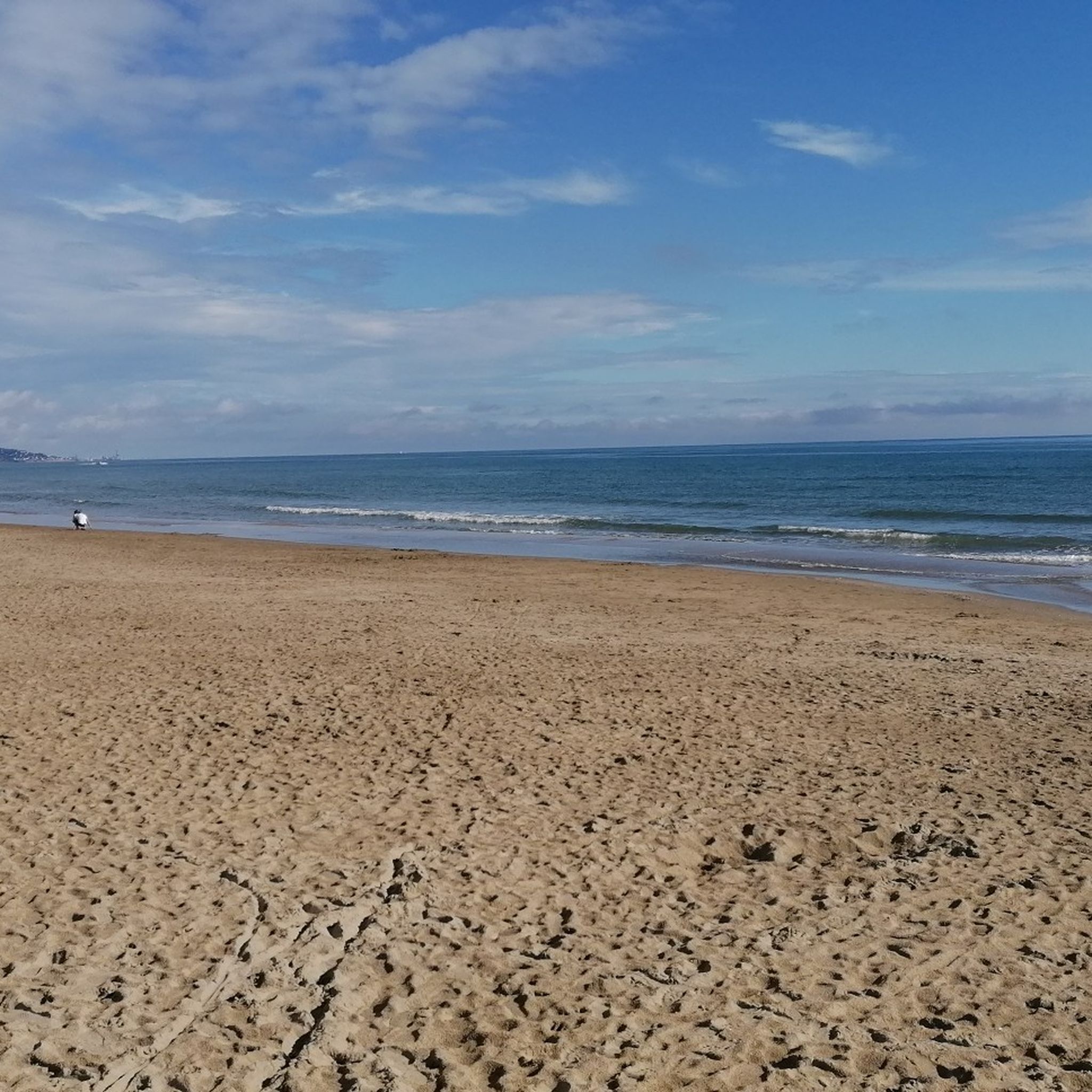
Hiking around Portiragnes offers diverse natural landscapes, from the tranquil banks of the Canal du Midi to extensive wetlands and coastal dunes. The region is characterized by flat terrain, making many routes accessible, with minimal elevation gain. Hikers can explore protected natural sites like the Grande Maïre, which features ponds, salt marshes, and rich biodiversity. Additionally, the area includes sandy beaches and vineyards, providing varied scenery for outdoor activities.
Best hiking trails around Portiragnes
- The most popular hiking route is L'Estagnol – Canal du Midi loop from Portiragnes Plage, a 7.4 miles (12.0 km) trail that takes 3 hours to complete. This route combines coastal views with the shaded paths along the historic Canal du Midi.
- Another top favourite among local hikers is Canal du Midi – Canal du Midi loop from Les Jardins de Portiragnes, a moderate 5.0 miles (8.0 km) path. This trail follows the scenic Canal du Midi, offering views of barges and shaded banks.
- Local hikers also love the Canal du Midi – Canal du Midi loop from Le Boat, a 6.0 miles (9.7 km) trail leading through the serene waterways of the Canal du Midi, often completed in about 2 hours 30 minutes.
- Hiking around Portiragnes is defined by its coastal paths, the historic Canal du Midi, and protected wetlands. The network offers options for different ability levels, from easy strolls to moderate excursions.
- The routes in Portiragnes are highly rated by the komoot community with an average score of 4.6 stars from over 170 reviews. More than 1300 hikers have used komoot to explore Portiragnes's varied terrain.
Last updated: June 25, 2026
4.7
(30)
189
hikers
11.9km
03:00
10m
10m
Moderate hike. Good fitness required. Easily-accessible paths. Suitable for all skill levels.
4.8
(36)
188
hikers
7.84km
01:58
10m
10m
Easy hike. Great for any fitness level. Easily-accessible paths. Suitable for all skill levels.

Sign up for free
4.8
(38)
175
hikers
9.74km
02:27
10m
10m
Moderate hike. Good fitness required. Easily-accessible paths. Suitable for all skill levels.
5.0
(7)
56
hikers
5.82km
01:28
0m
0m
Easy hike. Great for any fitness level. Easily-accessible paths. Suitable for all skill levels.
4.8
(6)
30
hikers
Easy hike. Great for any fitness level. Easily-accessible paths. Suitable for all skill levels.
Get access to more routes and recommendations from other explorers.
Sign up for free
Already have an account?
Our route recommendations are based on thousands of hikes, rides, and runs completed by other people on komoot.
Start today with a free account
Your next adventure awaits.
Login or Signup

Tips from the Community

You can observe a fine example of these spillways 1 km downstream from the Portiragnes lock. Built on the right bank, on the towpath side, these spillways are for some surmounted by arcades allowing the dry passage of the horse teams that towed the boats until the beginning of the 20th century.
0
0
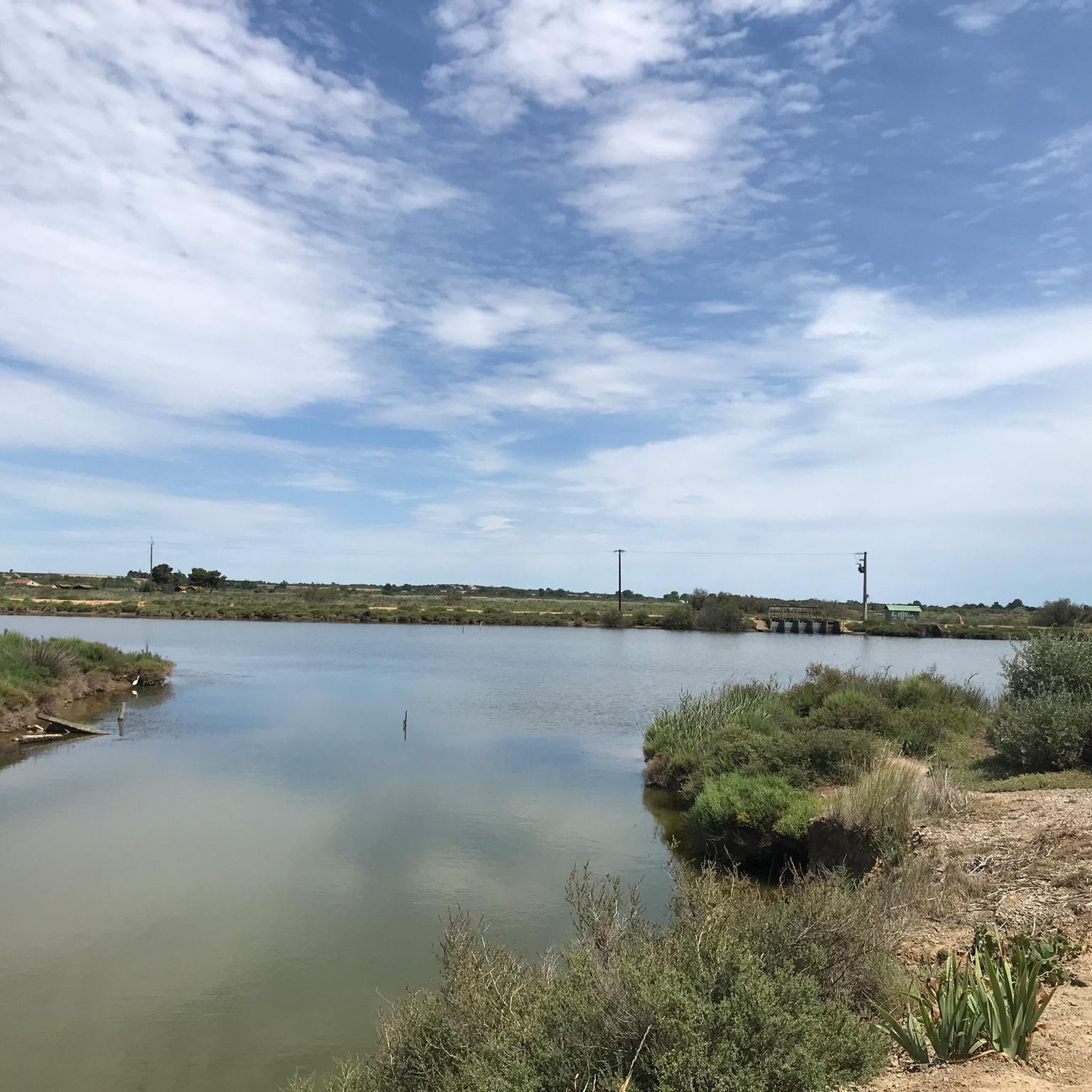
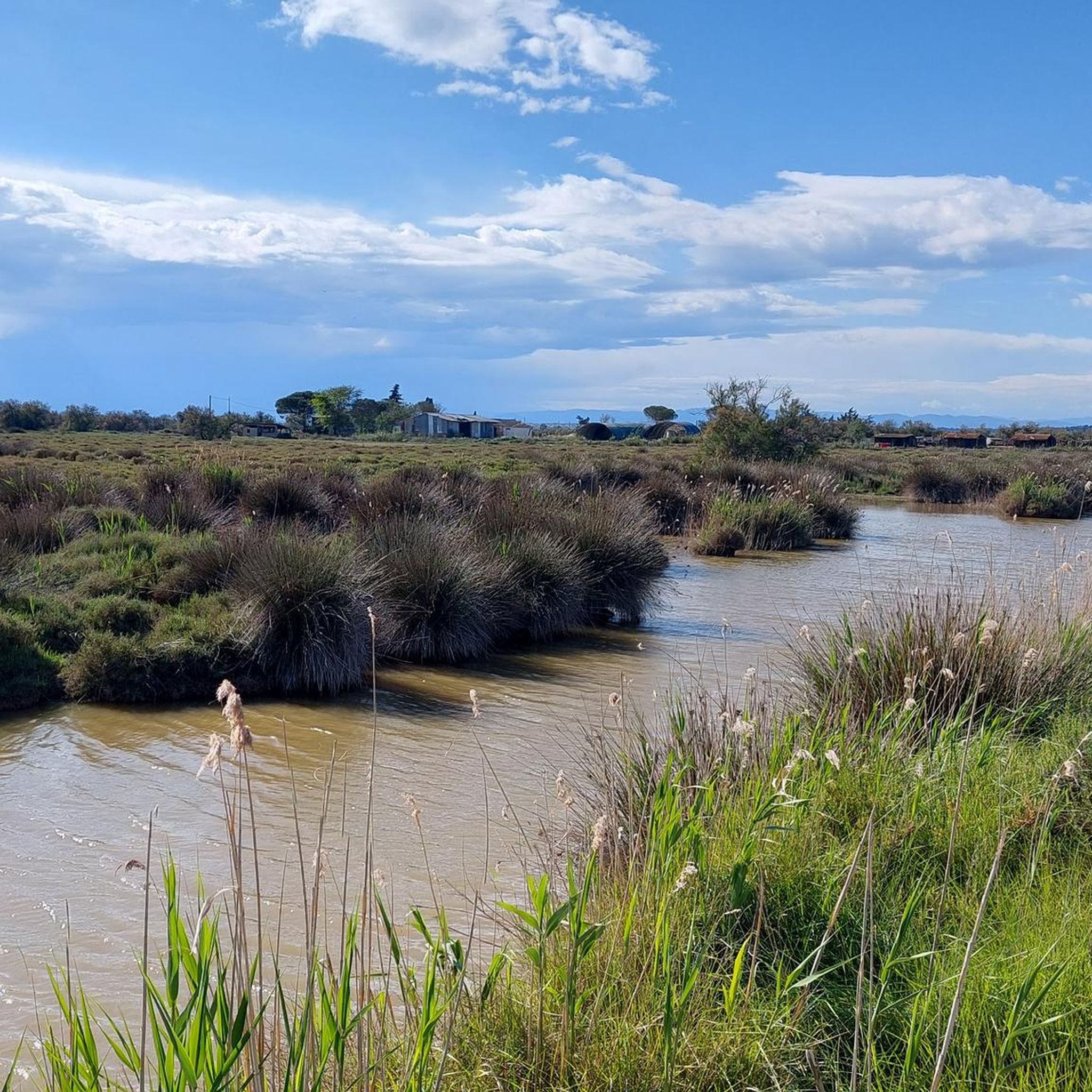
The single lock at Portiragnes opens onto the Agde reach downstream. This is a typical area of the landscapes of the Languedoc coastal strip. Indeed, from this lock, the canal surface is at an altitude of only 1 meter above sea level. It runs along wetlands of former salt ponds (la grande Maïre), where one encounters rich fauna and flora (bulls, horses, waders, amphibians, reeds...) and some pine groves. These places are conducive to the establishment of numerous campsites.
0
0
The single lock of Portiragnes opens onto the Agde reach downstream. It is a typical area of the landscapes of the Languedoc coastal strip. Indeed, from this lock, the surface of the canal is at an altitude of only 1 meter above sea level. It runs alongside wetlands of former salt ponds (la grande Maïre), where we find rich fauna and flora (bulls, horses, waders, amphibians, reeds...) and some pine groves. These places are conducive to the establishment of numerous campsites.
0
0
The Cassafières port, established in the 1980s in a basin right next to the campsites, allows you to rent a boat to navigate the canal and visit the Languedoc coastal plain.
0
0

There is a small restaurant in the harbor (river boat rental).
0
0

Well-maintained cycle paths (gravel paths) along the canal.
0
0

Frequently Asked Questions
How many hiking trails are available in Portiragnes?
Portiragnes offers a wide selection of hiking opportunities, with nearly 60 trails to explore. These routes cater to various preferences, from easy strolls to more moderate excursions.
What types of landscapes can I expect to see while hiking in Portiragnes?
Hiking in Portiragnes provides diverse scenery. You can explore the tranquil banks of the Canal du Midi, extensive wetlands, coastal dunes, and sandy beaches. The region also features vineyards and the unique geological site of the Roque-Haute volcano.
Are there easy hiking trails suitable for beginners or families in Portiragnes?
Yes, Portiragnes is ideal for beginners and families, with 38 easy trails available. The terrain is generally flat with minimal elevation gain, making many routes accessible. An example is the Sunrise – Sérignan Beach loop from Portiragnes Plage, which offers a pleasant coastal walk.
What is the best time of year for hiking in Portiragnes?
The Mediterranean climate ensures warm, sunny conditions, making spring and autumn particularly pleasant for hiking. These seasons offer comfortable temperatures for exploring the coastal paths, canal banks, and wetlands without the intense heat of summer.
Can I bring my dog on the hiking trails in Portiragnes?
Many trails in Portiragnes, especially those along the Canal du Midi and coastal paths, are generally dog-friendly. However, it's always recommended to keep your dog on a leash, especially in protected natural areas like the Grande Maïre, to protect local wildlife and ensure a pleasant experience for all hikers.
Are there circular hiking routes in Portiragnes?
Yes, many of the hiking routes in Portiragnes are circular, allowing you to start and end at the same point. Popular options include the L'Estagnol – Canal du Midi loop from Portiragnes Plage and the Canal du Midi – Canal du Midi loop from Les Jardins de Portiragnes.
What kind of wildlife can I spot while hiking in Portiragnes?
The preserved wetlands and natural areas, particularly the Grande Maïre Natural Site, are rich in biodiversity. You can observe a variety of birdlife, including pink flamingos and grey herons, as well as unique flora like the Spanish Iris. The coastal areas also offer opportunities for wildlife spotting.
What do other hikers enjoy most about hiking in Portiragnes?
The komoot community highly rates the hiking experience in Portiragnes, with an average score of 4.6 stars. Hikers often praise the diverse terrain, from the historic Canal du Midi to the serene coastal paths and protected wetlands, as well as the accessibility of many routes.
Are there any interesting landmarks or attractions to see along the hiking trails?
Absolutely. Along your hikes, you can encounter the historic Canal du Midi, including the Portiragnes lock and the impressive Orb Canal Bridge. The region also features several beautiful bodies of water like the Vendres Lagoon and Portiragnes Ponds.
Where can I find parking for hiking trails in Portiragnes?
Many popular starting points for hikes, such as Portiragnes Plage or areas near the Canal du Midi, offer convenient parking options. For example, the Canal du Midi – Viewing platform loop from Portiragnes often has accessible parking nearby in the village.
Are there any moderate hiking trails for more experienced hikers?
Yes, Portiragnes offers 21 moderate trails for those looking for a bit more challenge. These routes, while still generally flat, might cover longer distances. An example is the Canal du Midi – Canal du Midi loop from Le Boat, which provides a scenic and slightly longer experience.
Most popular routes around Portiragnes
Most popular attractions around Portiragnes

Get inspired with the komoot mobile app


Explore more
Browse the best Hikes in other regions.
