The best gravel rides around Les Alliés
4.8
(5)
60
riders
14
rides
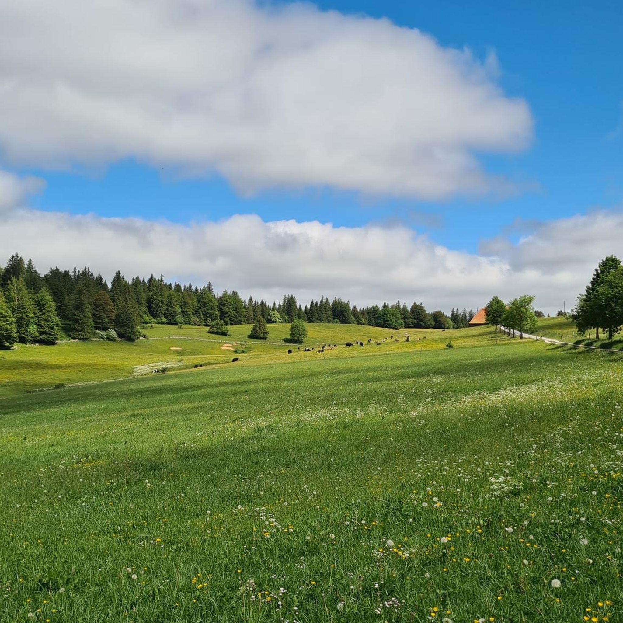
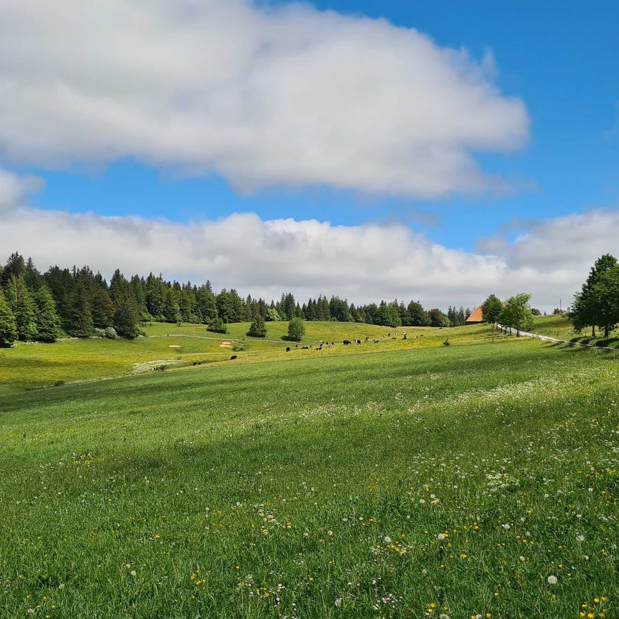
Gravel biking around Les Alliés offers routes through diverse landscapes, characterized by rolling hills, forests, and proximity to lakes and rivers such as the Doubs. The terrain includes both paved and unpaved sections, providing varied surfaces for gravel cyclists. Elevation gains are common, with some routes featuring significant climbs and descents.
Best gravel bike trails around Les Alliés
- The most popular gravel bike trail is Montperreux lookout – Viewpoint over the lake loop from La Cluse-et-Mijoux, a 28.0 miles…
Last updated: July 3, 2026
5.0
(1)
21
riders
47.1km
03:06
650m
650m
Hard gravel ride. Very good fitness required. Mostly paved surfaces. Suitable for all skill levels.
5.0
(1)
10
riders
45.0km
03:26
860m
860m
Hard gravel ride. Very good fitness required. You may need to push your bike for some segments of this route.

Sign up for free
5.0
(2)
14
riders
65.6km
04:31
1,210m
1,210m
Hard gravel ride. Very good fitness required. Mostly paved surfaces. Suitable for all skill levels.
10
riders
40.3km
02:30
250m
250m
Moderate gravel ride. Good fitness required. Mostly paved surfaces. Suitable for all skill levels.
2
riders
20.5km
01:45
410m
410m
Moderate gravel ride. Good fitness required. Mostly paved surfaces. Suitable for all skill levels.
Get access to more routes and recommendations from other explorers.
Sign up for free
Already have an account?
Our route recommendations are based on thousands of hikes, rides, and runs completed by other people on komoot.
Start today with a free account
Your next adventure awaits.
Login or Signup
Other adventures around Les Alliés

Tips from the Community


The "tour du lac" trail is authorized for bicycles but /!\ priority is given to pedestrians.
0
0
The "tour du lac" trail is authorized for bicycles but /!\ priority is given to pedestrians.
0
0

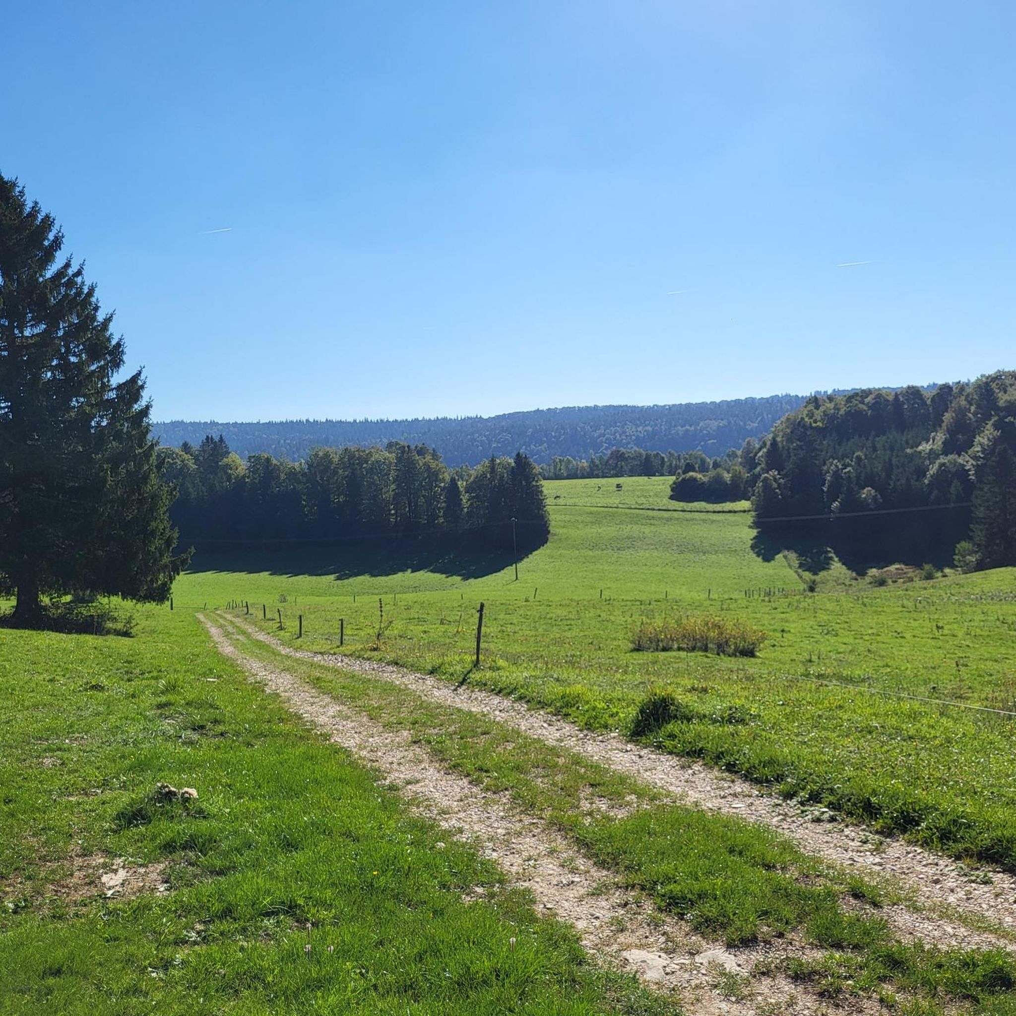
This path along the edge of fields and the forest leading to Cornabey is very pleasant. You cross a small bridge to span the stream.
0
0

From here you have a wonderful view of the lake, which lies in a hollow surrounded by green pastures and forests.
1
0

Beautiful greenway on the old railway line in the heart of the natural environment of Haut-Doubs. The views overlooking the Doubs valley are magnificent.
1
0

Here we drive along the Doubs, but it is not always visible because it is lower.
7
0
Frequently Asked Questions
How many gravel bike trails are available around Les Alliés?
There are over 20 gravel bike routes available around Les Alliés, offering a variety of experiences through the region's diverse landscapes.
What kind of terrain can I expect on gravel bike routes near Les Alliés?
Gravel biking around Les Alliés features a mix of rolling hills, dense forests, and paths that often run close to lakes and rivers like the Doubs. You'll encounter both paved and unpaved sections, providing varied surfaces for your ride.
Are there many challenging gravel bike routes in Les Alliés?
Yes, the area is known for its more demanding rides. Out of the over 20 routes, 11 are classified as difficult, often featuring significant elevation gains. For example, the Col sur le Mont – Bridge over the Doubs loop from Pays-de-Montbenoît covers 40.5 miles with substantial climbing.
Are there any beginner-friendly gravel bike trails in Les Alliés?
While many routes are moderate to difficult, there is at least one easy gravel bike trail available. Additionally, 9 routes are classified as moderate, which might be suitable for beginners looking for a bit more of a challenge without extreme difficulty.
What is the best time of year for gravel biking in Les Alliés?
The best time for gravel biking in Les Alliés is typically from spring through autumn when the weather is milder and trails are generally dry. Summer offers long daylight hours, while spring and autumn provide pleasant temperatures and beautiful scenery. Winter riding is possible but requires appropriate gear and caution due to potential snow or ice.
What are the trail conditions like after rain in Les Alliés?
After rain, some unpaved sections of the gravel trails in Les Alliés can become muddy or slippery, especially in forested areas or along riverbanks. It's advisable to check local weather conditions and recent trail reports before heading out, and be prepared for potentially wet and uneven surfaces.
Are there any circular gravel bike routes around Les Alliés?
Yes, many of the gravel bike routes in the area are designed as loops. For instance, the popular Montperreux lookout – Viewpoint over the lake loop from La Cluse-et-Mijoux is a 28.0-mile circular route offering expansive lake views.
Where can I find parking for gravel biking trails near Les Alliés?
Many routes start from towns and villages in the vicinity, such as La Cluse-et-Mijoux, Pays-de-Montbenoît, or Pontarlier, where public parking is generally available. Specific parking details are often provided on individual route pages on komoot.
Are there any scenic viewpoints on the gravel bike routes in Les Alliés?
Absolutely. The region's topography, with its rolling hills and proximity to lakes, offers several scenic spots. The Montperreux lookout – Viewpoint over the lake loop from La Cluse-et-Mijoux is specifically highlighted for its expansive views over the lake and surrounding landscape.
What do other gravel bikers enjoy most about gravel biking in Les Alliés?
The area is highly rated by the komoot community, with an average score of 4.75 stars. Reviewers often praise the diverse terrain, the blend of forested paths and lake views, and the challenging yet rewarding nature of the routes.
Are there any family-friendly gravel routes in Les Alliés?
While many routes feature significant elevation, there is at least one easy route available, and several moderate options that might be suitable for families with older children or those comfortable with some climbing. Always check the route's difficulty and elevation profile before setting out with family.
Can I find cafes or places to eat near the gravel bike trails?
The routes often pass through or near small towns and villages like Pontarlier or Pays-de-Montbenoît. These locations typically offer cafes, bakeries, or restaurants where you can refuel and rest during or after your ride.
Are there any routes that cross the Doubs river?
Yes, some routes incorporate river crossings, adding to the scenic variety. The Col sur le Mont – Bridge over the Doubs loop from Pays-de-Montbenoît is a notable example, featuring a bridge crossing over the Doubs river.
Most popular routes around Les Alliés
Most popular attractions around Les Alliés

Get inspired with the komoot mobile app


Explore more
Browse the best Gravel rides in other regions.
