The best walks and hikes around Les Alliés
4.4
(261)
2,364
hikers
91
hikes
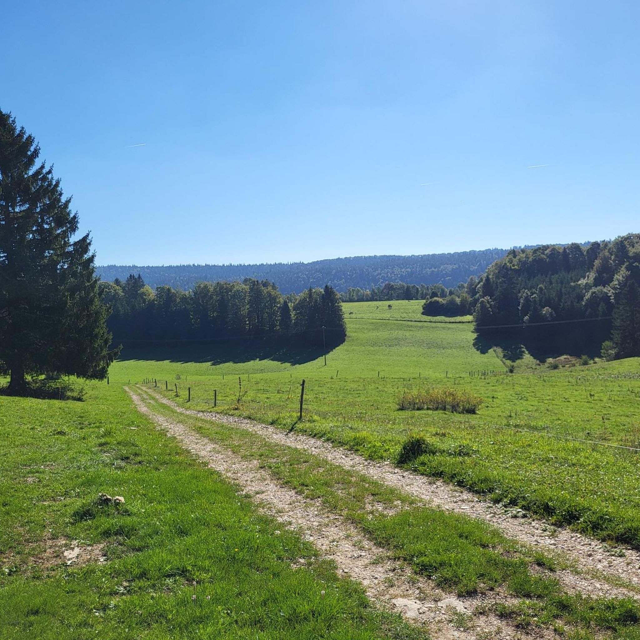
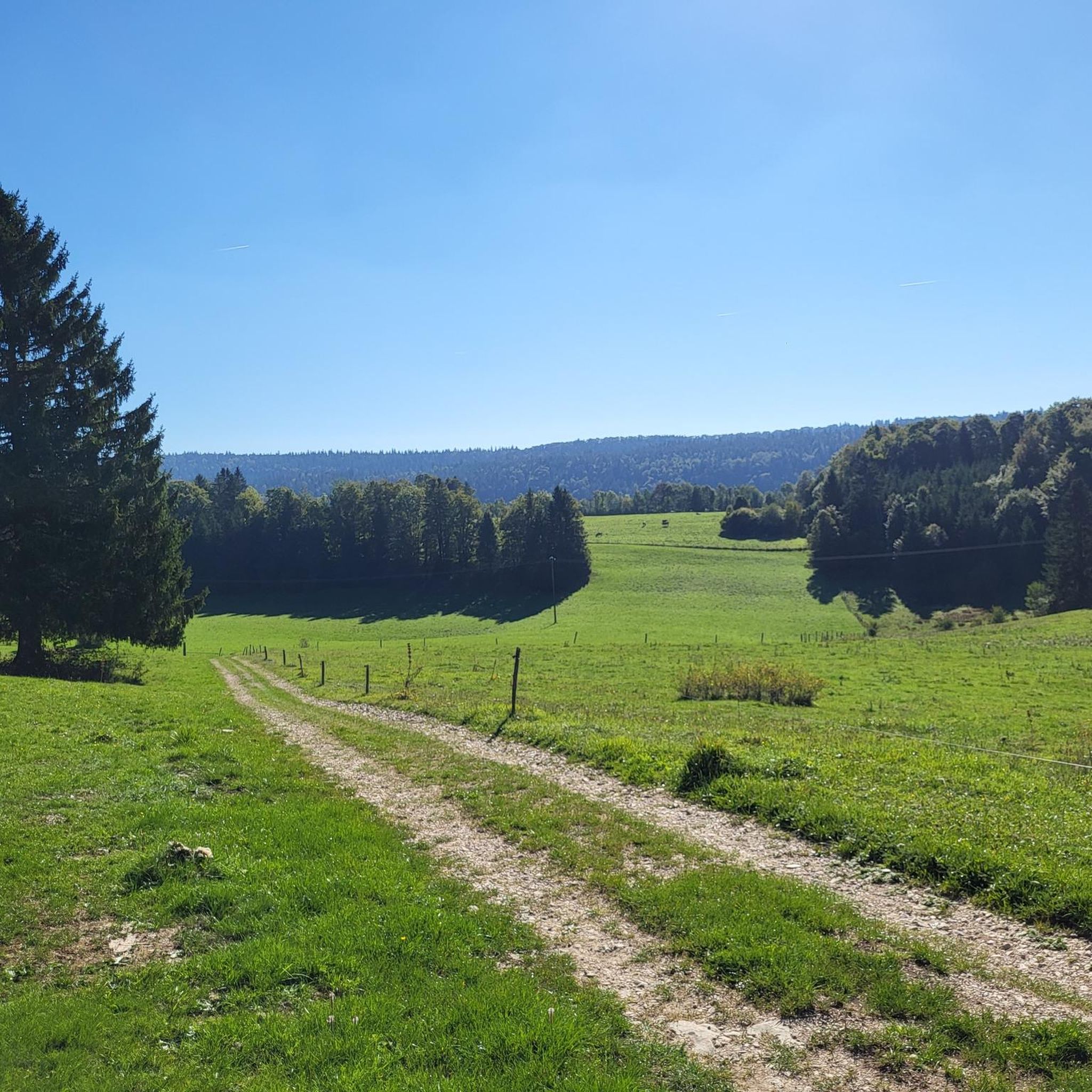
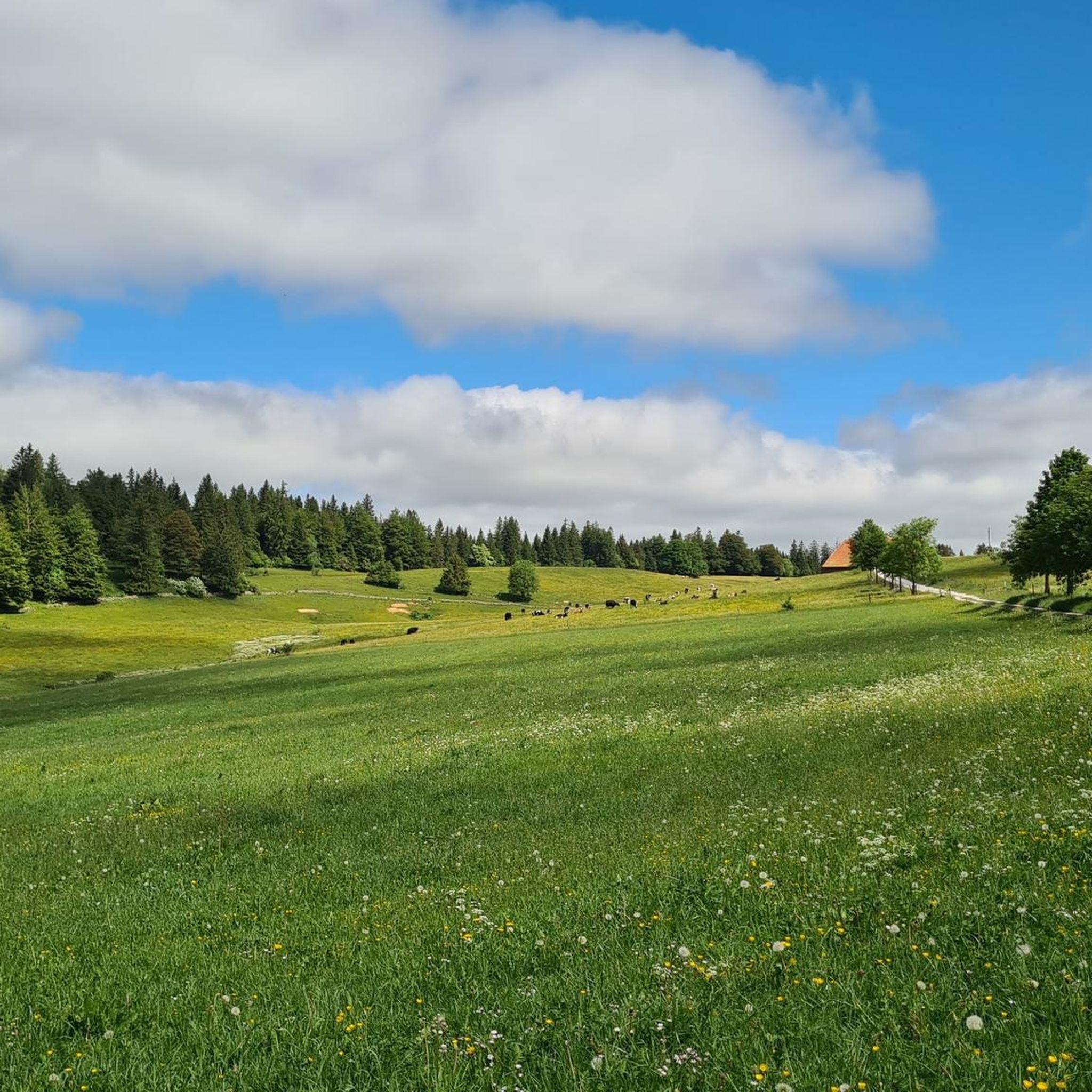
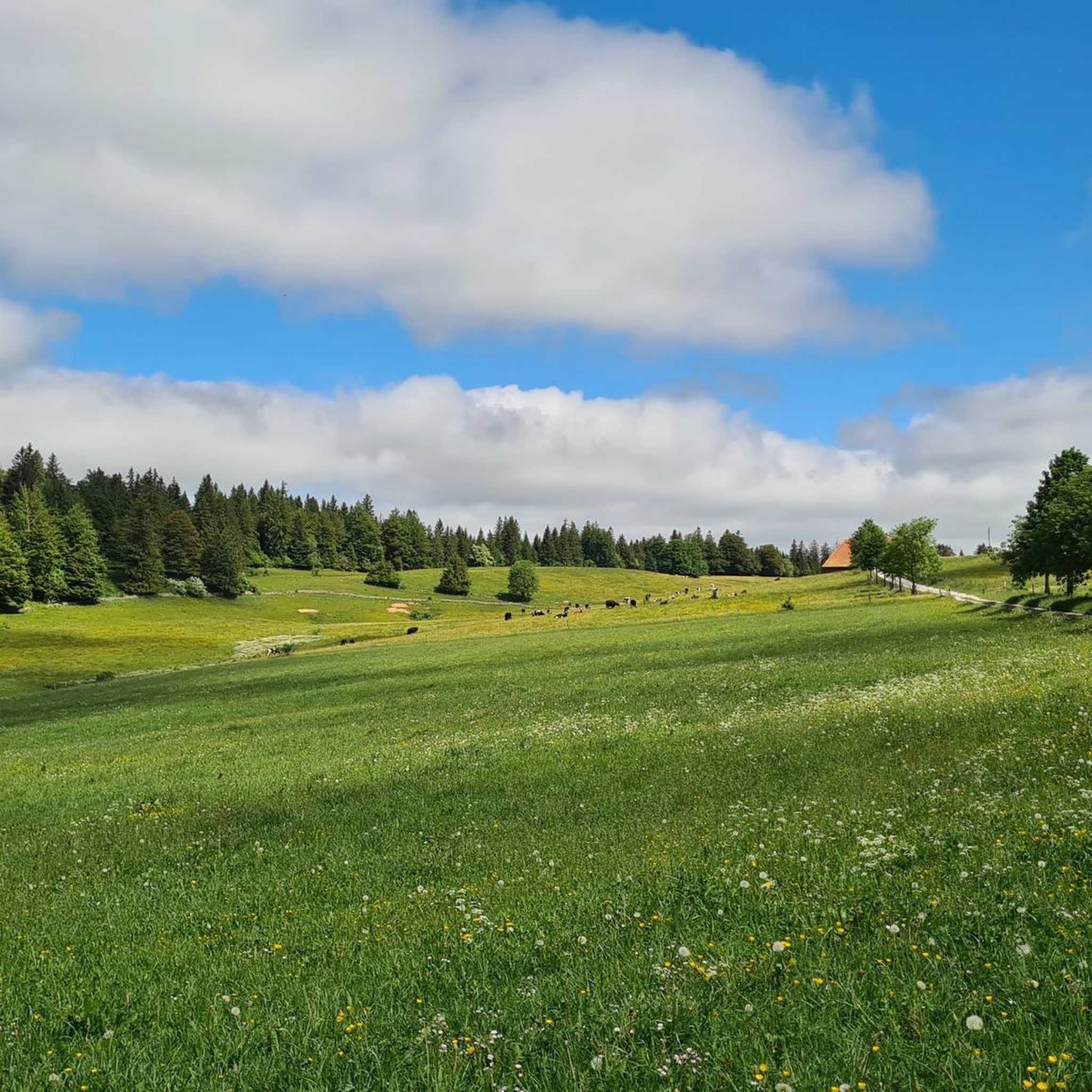
Hiking around Les Alliés offers access to a diverse landscape characterized by forested hills, open pastures, and elevated viewpoints within the Jura mountains. The region features a network of trails suitable for various skill levels, from gentle walks to more challenging ascents. These routes often traverse natural areas, providing opportunities to explore the local flora and fauna.
Best hiking trails around Les Alliés
- The most popular hiking route is Grand Taureau Shelter (1290 m) – Le Grand Taureau loop from…
Last updated: July 7, 2026
4.2
(6)
65
hikers
Moderate hike. Good fitness required. Easily-accessible paths. Suitable for all skill levels.
5.0
(1)
24
hikers
Moderate hike. Good fitness required. Easily-accessible paths. Suitable for all skill levels.

Sign up for free
5.0
(2)
24
hikers
7.33km
02:14
260m
270m
Moderate hike. Good fitness required. Easily-accessible paths. Suitable for all skill levels.
5.0
(3)
25
hikers
9.67km
02:55
300m
300m
Moderate hike. Good fitness required. Easily-accessible paths. Suitable for all skill levels.
4.8
(5)
22
hikers
29.6km
08:31
740m
740m
Hard hike. Very good fitness required. Easily-accessible paths. Suitable for all skill levels.
Get access to more routes and recommendations from other explorers.
Sign up for free
Already have an account?
Our route recommendations are based on thousands of hikes, rides, and runs completed by other people on komoot.
Start today with a free account
Your next adventure awaits.
Login or Signup

Other adventures around Les Alliés

Tips from the Community

The highest point of the Larmont mountain range, the Grand Taureau, at an altitude of 1,323 m, offers panoramic views of the Alps. An orientation table helps you better decipher the landscape. For hikers, multiple trails cross this area.
2
0

Magnificent little family establishment. Terrace overlooking the surrounding countryside, home-made cuisine. Renovated rooms, free charging station for electric bikes, mountain bike cleaning area. Close to the GTJ trail, mountain bike trails, and hikes for all levels. Electric bike rental (2) Free indoor sauna Peace and serenity in this rural and peaceful area. Take the time to enjoy your hike. Closed Monday and Tuesday evenings / Half-board accommodation available upon reservation during closing days Hotel Restaurant Les Cernets
2
0


Unguarded hut about 300m from the summit, directly on the GR5 / GTJ.
0
0

This small hamlet hosts a hotel-restaurant ideal for a stopover. The view from the terrace is very nice and the welcome of the kindest. Here you will come across some hikers and other cyclists who have come to enjoy the region.
2
0

Nice trail along the border
1
0

Leaning against the Swiss border, the village of the Allies has almost 200 inhabitants. A communal gîte is open there on the upper floor of the Town Hall.
2
0

Le Grand Taureau is a beautiful peak that culminates at 1,323 meters above sea level. At its top, an orientation table allows you to better appreciate the surroundings. You will find a shelter nearby if you wish to spend the night there.
3
0
Frequently Asked Questions
How many hiking trails are available around Les Alliés?
There are over 90 hiking trails around Les Alliés, providing a diverse range of options for all skill levels. These include 38 easy, 46 moderate, and 9 difficult routes.
What kind of terrain can I expect on hikes around Les Alliés?
Hikes in Les Alliés typically traverse a varied landscape of forested hills, open pastures, and elevated viewpoints within the Jura mountains. You'll find paths leading through natural areas, offering opportunities to observe local flora and fauna.
Are there options for beginner hikers in Les Alliés?
Yes, Les Alliés offers a good selection of trails suitable for beginners. There are 38 easy routes, perfect for those looking for a gentle introduction to hiking in the region. These trails often feature less elevation gain and shorter distances.
What interesting places can I see near the hiking trails in Les Alliés?
The area around Les Alliés is rich with points of interest. You can explore historical sites like Joux Castle or visit charming settlements such as Pontarlier and La Cluse-et-Mijoux. For natural wonders, consider the Glacière de Monlési Ice Cave or the Karst Spring of the Areuse.
Are there any circular hiking routes in Les Alliés?
Yes, many trails in Les Alliés are designed as loops, allowing you to start and end at the same point. Examples include the Grand Taureau Shelter (1290 m) – Le Grand Taureau loop from Fort du Larmont supérieur or the Rocher du Cerf loop from Le Théverot, which offers scenic overlooks.
Can I bring my dog on the hiking trails in Les Alliés?
Generally, dogs are welcome on hiking trails in the Jura region, including around Les Alliés. However, it's always advisable to keep them on a leash, especially in nature reserves or near livestock, and to check specific trail regulations if available. Always carry water for your dog and clean up after them.
Are there family-friendly hiking options in Les Alliés?
Absolutely. With 38 easy trails, Les Alliés provides numerous family-friendly options. These routes are typically shorter and have less challenging terrain, making them suitable for children and those looking for a relaxed walk. Look for trails with minimal elevation gain.
Where can I find parking for hiking trails in Les Alliés?
Parking availability varies by trailhead. Many popular starting points for hikes in Les Alliés, especially those near villages or specific attractions, often have designated parking areas. It's recommended to check the route details on komoot for specific parking information related to your chosen trail.
Are there any viewpoints or scenic overlooks on the trails?
Yes, the elevated nature of the Jura mountains around Les Alliés means many trails offer stunning viewpoints. The Scenic Upper Valley of the Doubs Horloger Regional Natural Park is a notable viewpoint, and many routes, like the Rocher du Cerf loop, are known for their scenic overlooks.
What are the typical durations for hikes in Les Alliés?
Hike durations in Les Alliés vary significantly based on distance and difficulty. Shorter, easy trails might take around 1-2 hours, while moderate routes like the Grand Taureau Shelter loop can take about 2 hours 30 minutes. Longer, more challenging hikes, such as the Les Alliés – Les Cernets loop, can extend to 8-9 hours.
What do other hikers say about the trails in Les Alliés?
The trails in Les Alliés are highly regarded by the komoot community, holding an average rating of 4.4 stars from over 230 reviews. Hikers often praise the diverse landscapes, well-maintained paths, and the peaceful atmosphere of the forested hills and open pastures.
What is the best time of year to hike in Les Alliés?
The best time to hike in Les Alliés is typically from late spring through early autumn (May to October). During these months, the weather is generally mild and pleasant, and the trails are clear of snow. Summer offers lush greenery, while autumn brings beautiful fall foliage. Winter hiking is possible but requires appropriate gear for snow and ice.
Most popular routes around Les Alliés
Most popular attractions around Les Alliés

Get inspired with the komoot mobile app


Explore more
Browse the best Hikes in other regions.
