The best gravel rides around Saint-Marcel-Lès-Annonay
4.2
(6)
40
riders
15
rides
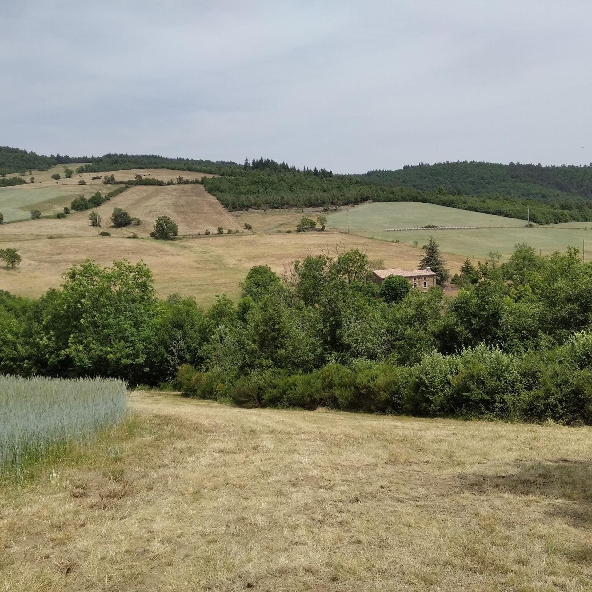
Gravel biking around Saint-Marcel-Lès-Annonay offers routes through a landscape characterized by significant elevation changes and varied terrain. The region features numerous mountain passes and hills, providing challenging climbs and descents. Trails often traverse forested areas and open country, with some routes reaching elevations over 1200 meters.
Best gravel bike trails around Saint-Marcel-Lès-Annonay
- The most popular gravel bike trail is La Jasserie Refuge – Col de l'Œillon (1233 m) loop from Colombier, an 19.0 miles (30.5 km) trail that takes…
Last updated: July 2, 2026
3.0
(2)
9
riders
30.5km
03:04
930m
930m
Hard gravel ride. Very good fitness required. Mostly paved surfaces. Suitable for all skill levels.
3.0
(1)
4
riders
32.9km
02:53
990m
1,000m
Hard gravel ride. Very good fitness required. Mostly paved surfaces. Suitable for all skill levels.

Sign up for free
5.0
(1)
3
riders
15.3km
01:05
230m
230m
Moderate gravel ride. Good fitness required. Mostly paved surfaces. Suitable for all skill levels.
2
riders
42.5km
02:56
590m
590m
Hard gravel ride. Very good fitness required. Mostly paved surfaces. Suitable for all skill levels.
3
riders
46.6km
03:35
1,090m
1,090m
Hard gravel ride. Very good fitness required. Mostly paved surfaces. Suitable for all skill levels.
Get access to more routes and recommendations from other explorers.
Sign up for free
Already have an account?
Our route recommendations are based on thousands of hikes, rides, and runs completed by other people on komoot.
Start today with a free account
Your next adventure awaits.
Login or Signup
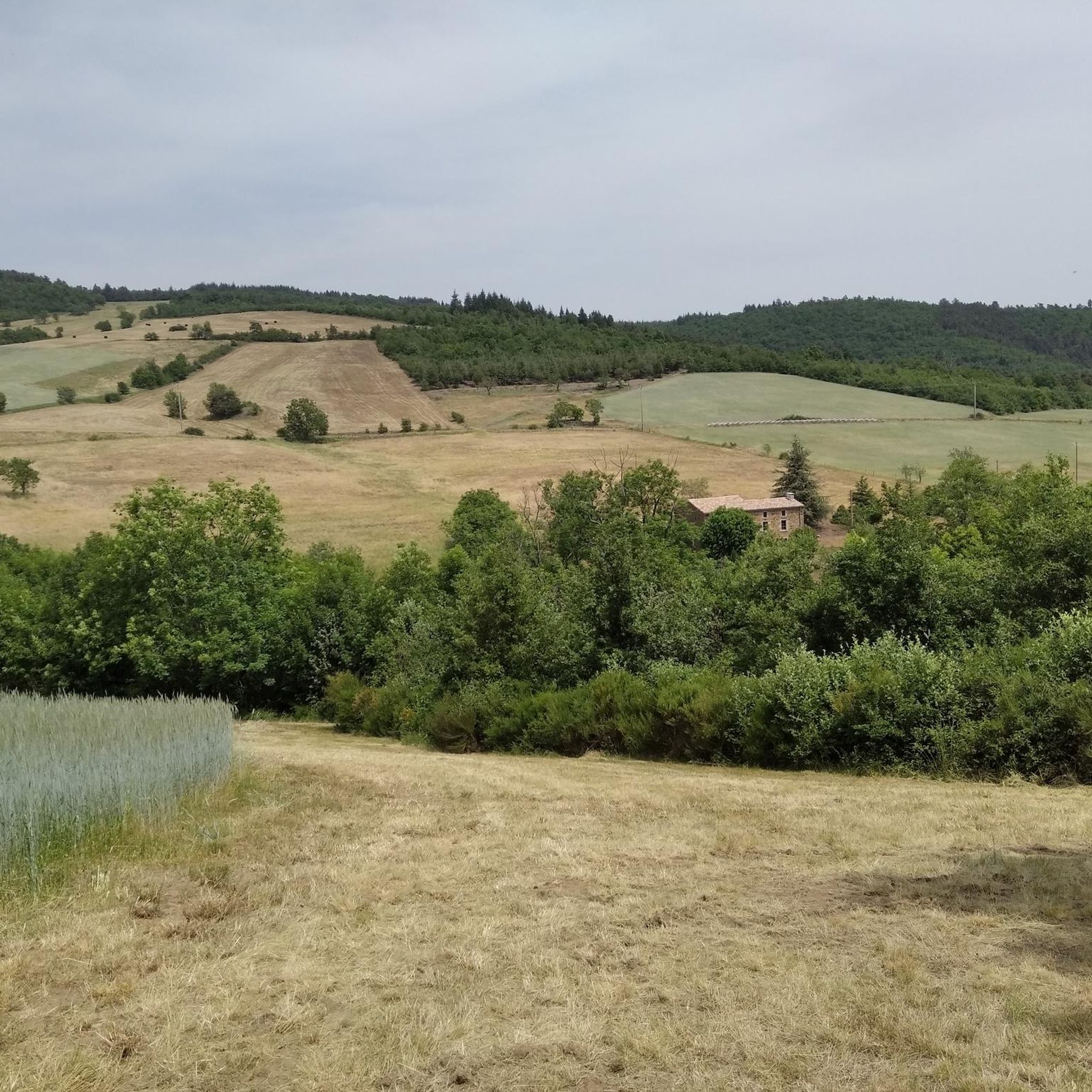
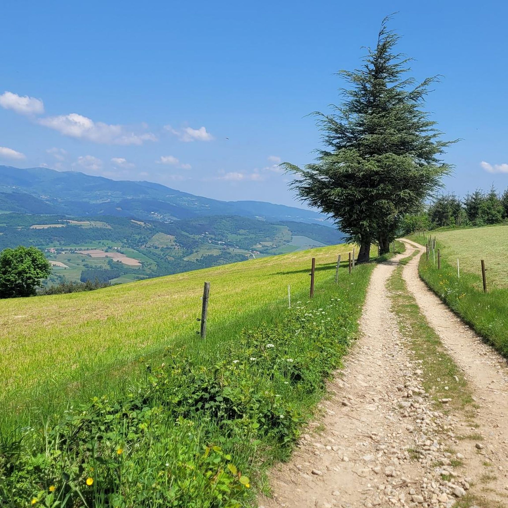
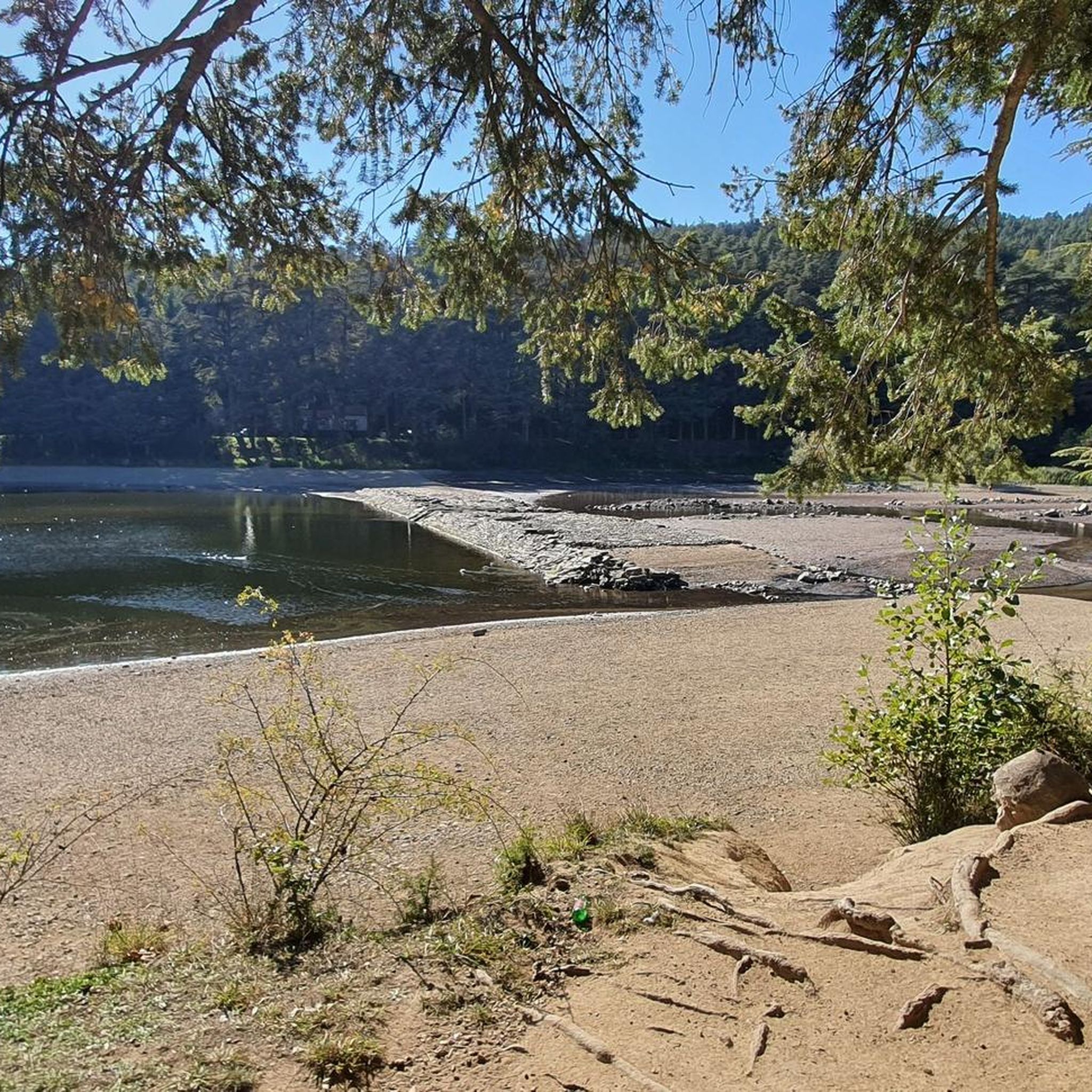
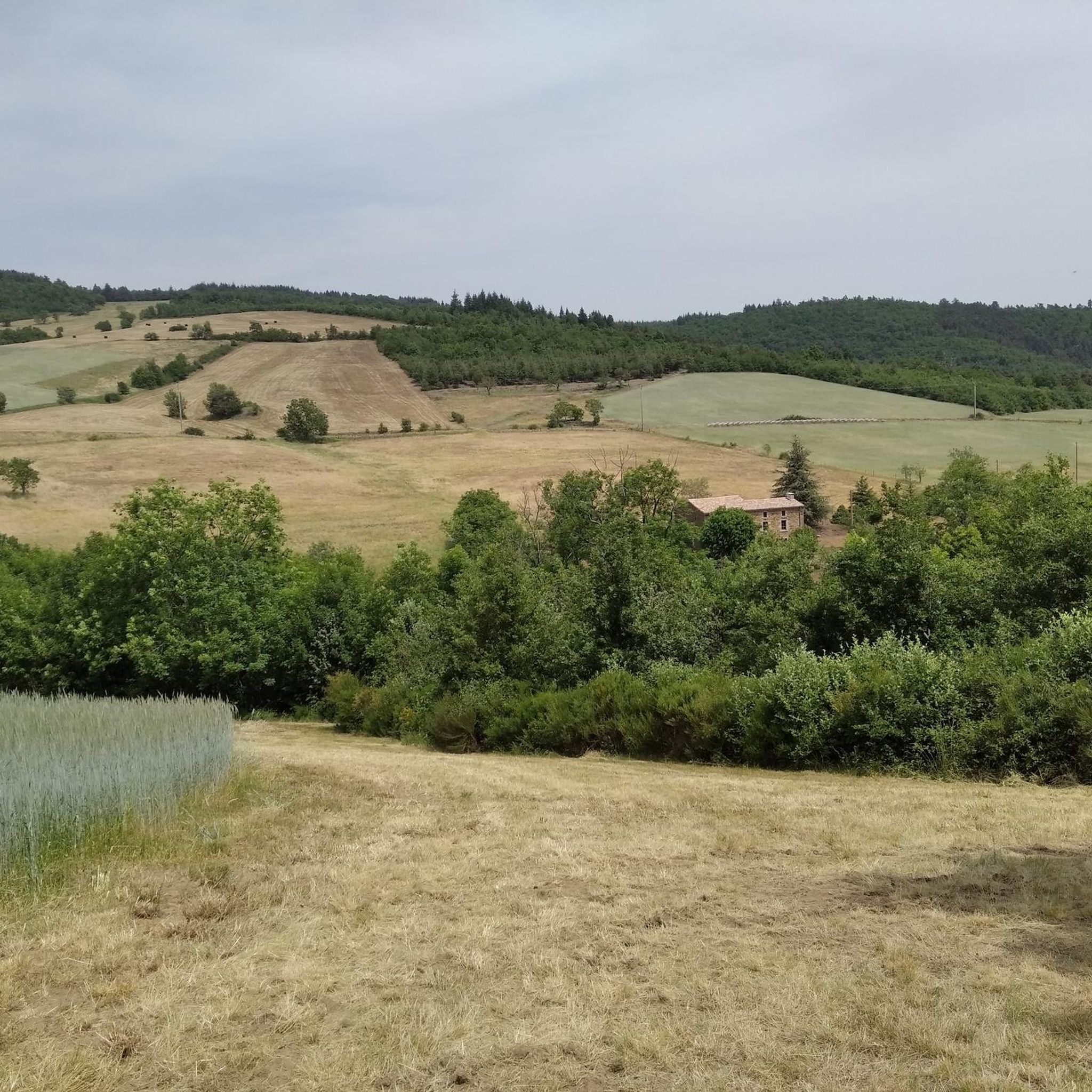
Tips from the Community


A wonderful stretch of route! The stunning scenery and excellent cycle paths make this bike tour a truly memorable experience!
0
0
A wonderful stretch of route! The stunning scenery and excellent cycle paths make this bike tour a truly memorable experience!
0
0
A wonderful stretch of route! The stunning scenery and excellent cycle paths make this bike tour a truly memorable experience!
0
0

The retention dam, located between the municipalities of Saint-Pierre-de-Boeuf – from which it takes its name – and Saint-Maurice-l’Exil, crosses the natural arm of the Rhône (right arm), connecting the town of Saint-Pierre-de-Boeuf to the Île de la Platière on the left bank. The 140 m wide dam has six 20 m passes equipped with 12 m high gates, separated by 4 m thick concrete piers. The dam bridge is a 174 m long reinforced concrete girder bridge (168.80 m opening), with seven 28 m spans. Over a width of 8.80 m, it carries a 6 m long, two-lane, two-way roadway, bordered by two sidewalks lined with parapets made of mixed material (concrete-metal). The upstream sidewalk is separated from the roadway by a low wall. Shelters are located on the downstream side of the piers. The ViaRhône cycle path continues on both sides.
0
0

The water in the fountain is super fresh, very beautiful view and good refuge
0
0

The Col du Pilat. A billiard-style surface from Le Collet. It's worth continuing the climb to Crêt de la Botte (second antenna after the parking lot) for a nearly 360-degree panorama.
0
0
Frequently Asked Questions
What is the general difficulty level of gravel bike trails around Saint-Marcel-Lès-Annonay?
The gravel biking routes in this region are predominantly challenging. You'll find 3 moderate routes and 15 difficult routes, characterized by significant elevation changes and varied terrain, often reaching over 1200 meters in elevation.
Are there any beginner-friendly gravel bike trails in Saint-Marcel-Lès-Annonay?
While there are no easy routes, beginners with some experience can consider the moderate options. One such route is the Col du Fayet loop from Boulieu-lès-Annonay, which is 9.5 miles (15.3 km) long and leads through hilly landscapes.
What are some of the longer gravel bike routes available?
For those seeking longer rides, the region offers several options over 30 km. Consider the Railway Workers' Shelter loop from Bourg-Argental, which spans 38.1 km with considerable elevation gain.
Are there any circular gravel bike routes in the area?
Yes, many of the routes around Saint-Marcel-Lès-Annonay are designed as loops. For example, the Col super sympa – Le Grand Felletin loop from Villevocance is a difficult 20.5-mile (33.0 km) path featuring substantial elevation gain through mountainous terrain.
What kind of terrain can I expect on gravel bike trails here?
You can expect a diverse landscape with mountain passes, forested sections, and open country. The trails are defined by varied elevation profiles, offering both challenging climbs and descents.
What do other gravel bikers say about the trails in Saint-Marcel-Lès-Annonay?
The routes in Saint-Marcel-Lès-Annonay are highly rated by the komoot community, with an average score of 3.7 stars from over 11 reviews. Users often praise the challenging nature of the terrain and the scenic beauty of the mountain passes and forested areas.
Are there any notable natural attractions or landmarks along the gravel bike routes?
Yes, the region is rich in natural beauty. You might encounter highlights such as Crêt de l'Œillon, The Three Teeth, or the scenic Gorges and the Cance Valley. Many routes pass near these points of interest.
What is the best time of year for gravel biking in Saint-Marcel-Lès-Annonay?
Given the significant elevation changes and mountain passes, the best time for gravel biking is typically from late spring through early autumn (May to October). During these months, you'll generally find more favorable weather conditions and less risk of snow or ice at higher elevations.
Where can I find parking for the gravel bike trails?
Specific parking information is usually detailed on individual tour pages. Many routes, like the Sablons Bridge – View of Saint-Pierre-de-Bœuf loop from Maclas, start from villages or towns where public parking is often available near the trailhead.
Are there any routes that offer particularly scenic views?
Many routes offer stunning views due to the mountainous terrain. The La Jasserie Refuge – Col de l'Œillon (1233 m) loop from Colombier, for instance, includes a significant ascent to Col de l'Œillon, providing panoramic vistas of the surrounding landscape.
How many gravel bike trails are available in the Saint-Marcel-Lès-Annonay area?
There are 18 gravel bike trails documented around Saint-Marcel-Lès-Annonay, offering a range of experiences primarily for moderate to difficult skill levels.
Most popular routes around Saint-Marcel-Lès-Annonay
Most popular attractions around Saint-Marcel-Lès-Annonay

Get inspired with the komoot mobile app


Explore more
Browse the best Gravel rides in other regions.
