The best walks and hikes around Saint-Marcel-Lès-Annonay
4.6
(796)
5,633
hikers
288
hikes
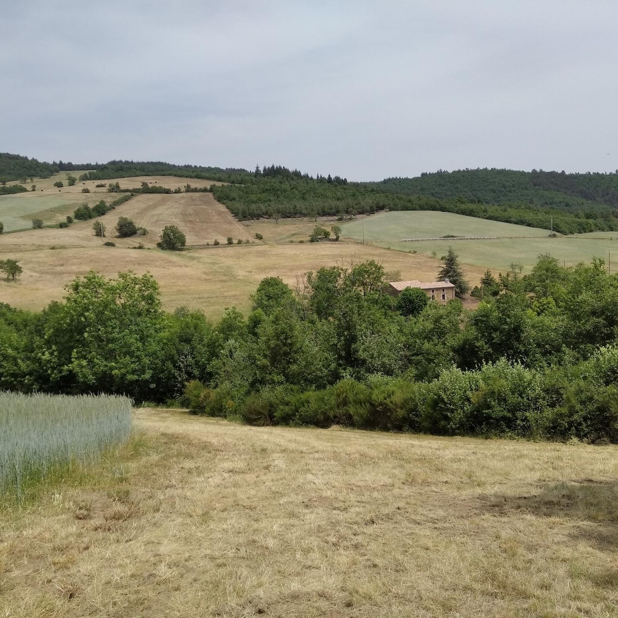
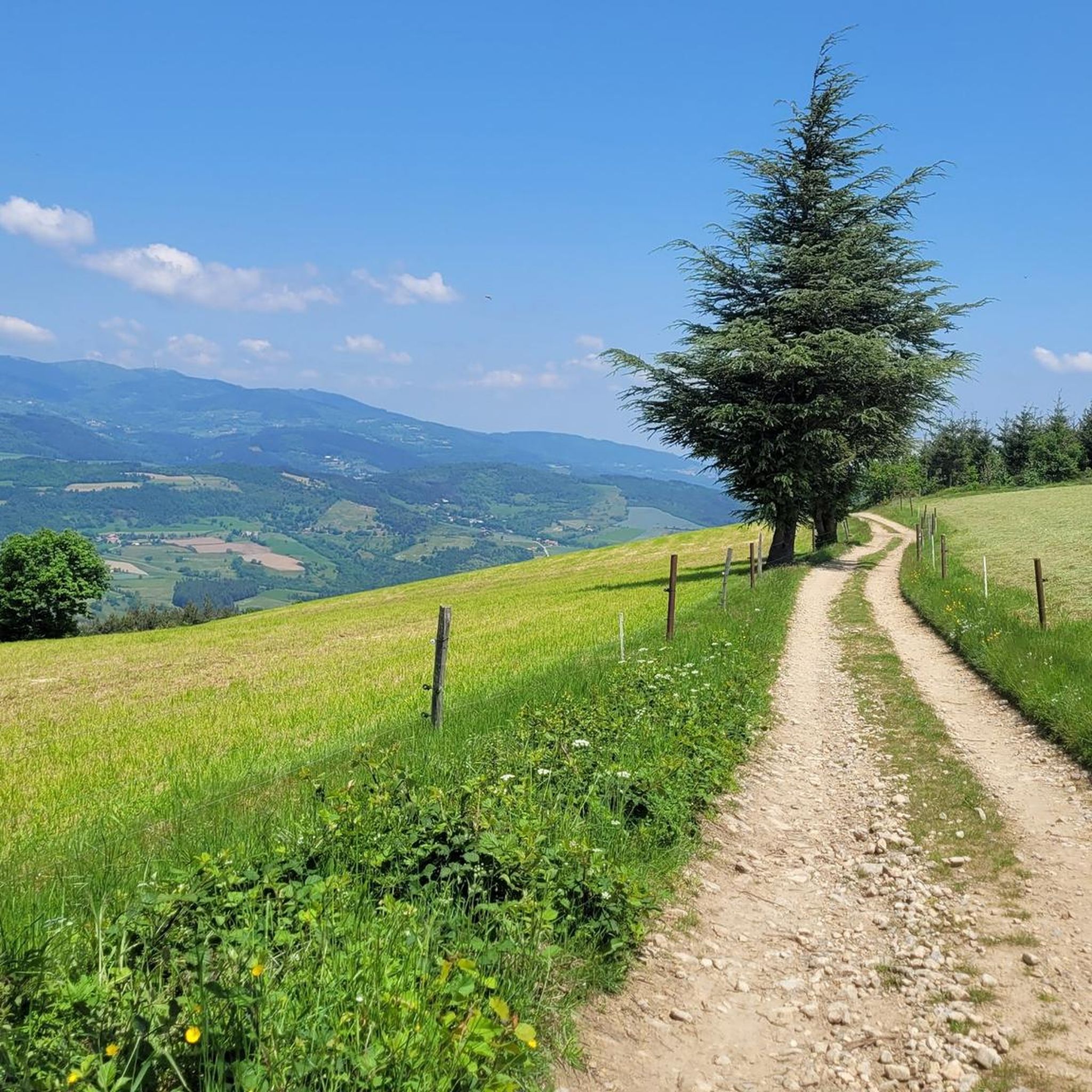
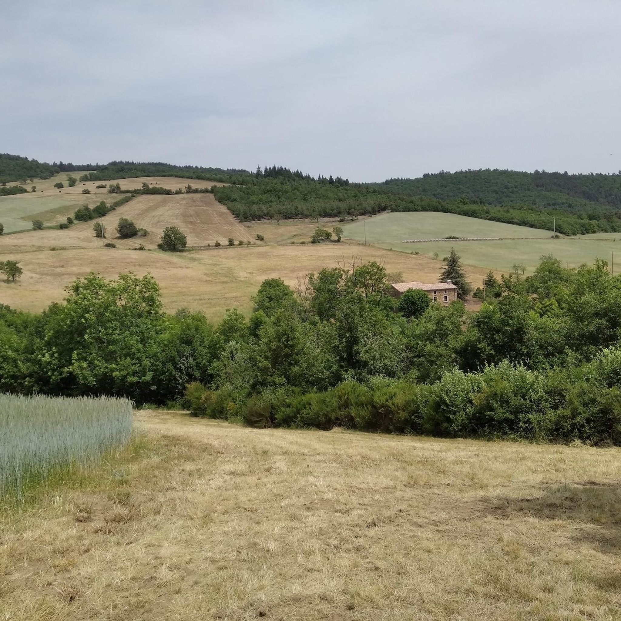
Hiking around Saint-Marcel-Lès-Annonay offers diverse landscapes, from serene lakeside paths to mountainous routes with panoramic vistas. The region, situated in the Ardèche, features natural elements such as Lac du Ternay, the Pilat Mountains, and the Cance Valley. Hikers can explore a mix of fields, forest paths, and higher elevations providing extensive views. The terrain includes gentle gradients around the lake and more challenging climbs towards viewpoints and mountain passes.
Best hiking trails around Saint-Marcel-Lès-Annonay
- The most popular hiking route is…
Last updated: May 12, 2026
4.5
(4)
24
hikers
17.1km
05:06
510m
510m
Hard hike. Very good fitness required. Easily-accessible paths. Suitable for all skill levels.
5.0
(2)
31
hikers
9.07km
02:37
230m
230m
Moderate hike. Good fitness required. Easily-accessible paths. Suitable for all skill levels.

Sign up for free
4.8
(4)
17
hikers
12.6km
03:54
480m
480m
Moderate hike. Good fitness required. Easily-accessible paths. Suitable for all skill levels.
4.5
(2)
16
hikers
8.51km
02:28
220m
220m
Moderate hike. Good fitness required. Easily-accessible paths. Suitable for all skill levels.
5.0
(1)
2
hikers
5.54km
01:47
250m
250m
Easy hike. Great for any fitness level. Easily-accessible paths. Suitable for all skill levels.
Get access to more routes and recommendations from other explorers.
Sign up for free
Already have an account?
Our route recommendations are based on thousands of hikes, rides, and runs completed by other people on komoot.
Start today with a free account
Your next adventure awaits.
Login or Signup

Tips from the Community

A massive, stone-built base supports the "Croix de Chirole," a symbol commemorating the crucifixion and resurrection of Jesus Christ, crowning the summit plateau. The two wooden beams of this small sacred monument clearly show the effects of wind and weather. The large body of the crucified Christ, however, whose light color clearly stands out against the background of the dark beams, appears to have been relatively recently restored or perhaps even renewed.
0
0

Climbed from Serrières, passing through the vineyards to avoid the main road. A real pleasure to climb, the road is not very busy.
0
0


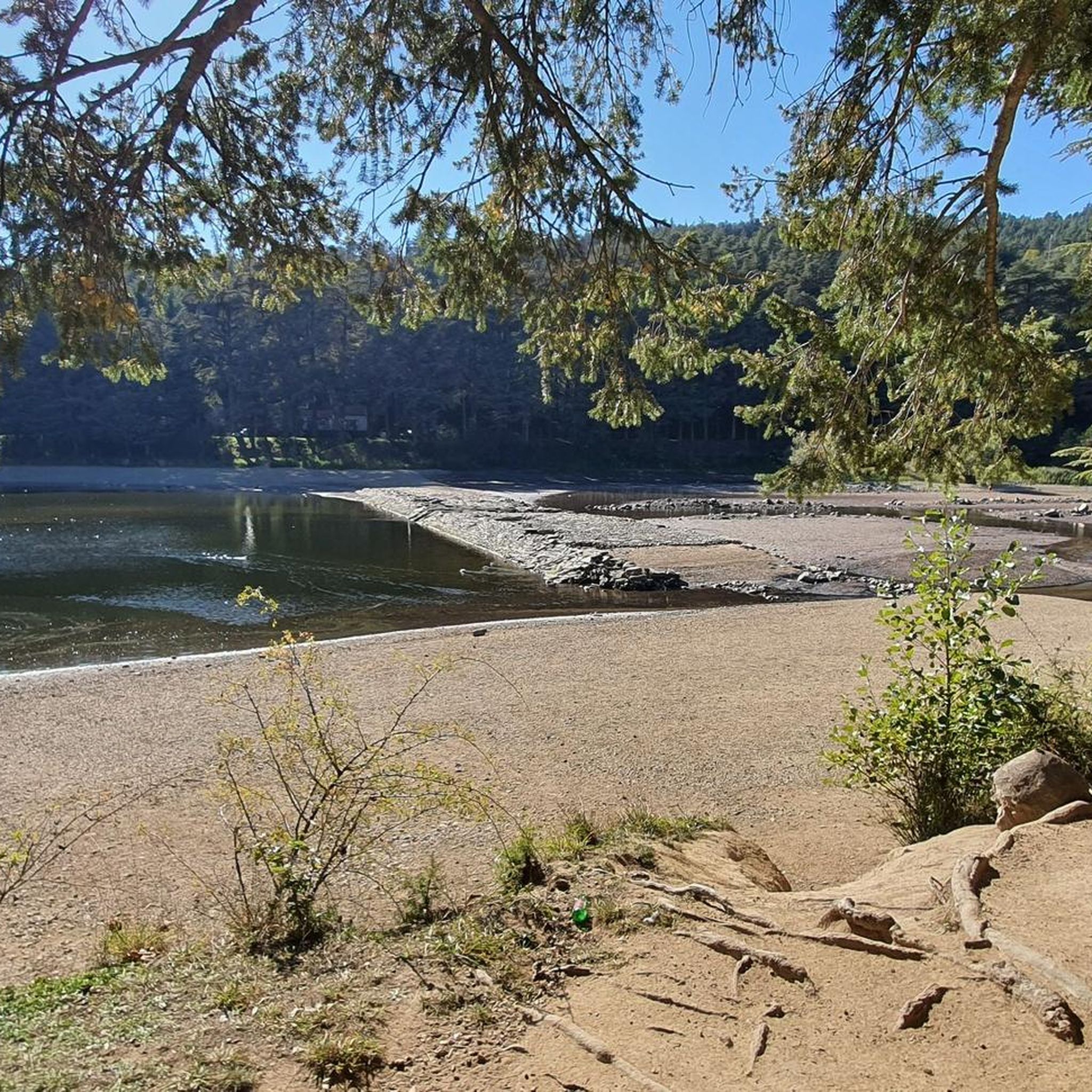
A pleasant path of about 4 kilometers, called the "Chemin de Ronde", lined with Cedars of Lebanon and a few sequoias, goes around this 30-hectare lake.
0
0
Built in 1858 to supply Annonay with drinking water, the Ternay dam now offers a pleasant shaded place where walkers and runners meet.
0
0

From its 915 meters, you can see through three valleys, the central massif and the Alps. Stunning panoramas.
3
0

The Col du Fayet is 9.68m long with a total drop of 470m. The average gradient is 4.86% with maximum gradients of 7.1%.
1
0

Frequently Asked Questions
What kind of terrain can I expect on hikes around Saint-Marcel-Lès-Annonay?
The hiking terrain around Saint-Marcel-Lès-Annonay is quite diverse. You'll find serene lakeside paths, often shaded by cedars, especially around Lac du Ternay. There are also routes through fields and forests, and more challenging mountainous trails offering panoramic views, particularly in the nearby Pilat Mountains. Expect a mix of gentle gradients and steeper climbs.
Are there many hiking options for different skill levels?
Yes, Saint-Marcel-Lès-Annonay offers a wide range of hiking options for various skill levels. Out of nearly 300 routes, there are 65 easy trails perfect for a relaxed stroll, 175 moderate routes for those seeking a bit more challenge, and 52 difficult trails for experienced hikers looking for a strenuous adventure.
Are there any circular walks around Saint-Marcel-Lès-Annonay?
Many of the trails in the area are circular. For example, the popular Barrage du Ternay – Ternay Dam loop is an easy 5.9 km route that circles Lac du Ternay. Another moderate option is the Chirole Cross – Suc de Pop loop, which offers panoramic views over 12.6 km.
What are some notable natural features or landmarks to see while hiking?
The region is rich in natural beauty. You can explore the tranquil Lac du Ternay, known for its calm waters and shaded paths. Higher up, the Pilat Mountains offer stunning viewpoints like Crêt de l'Œillon and Crêt de la Perdrix, providing 360-degree panoramas. The Gorges and Cance Valley also offer scenic routes with old bridges and wild landscapes.
What do other hikers enjoy most about hiking in Saint-Marcel-Lès-Annonay?
The area is highly rated by the komoot community, with an average score of 4.6 stars from over 700 reviews. Hikers often praise the diverse landscapes, from the serene lakeside paths to the challenging mountain routes with superb panoramic views. The variety of trails catering to all abilities is also frequently highlighted.
Are there any longer, more challenging hikes available?
Yes, for those seeking a longer and more challenging experience, the Col du Fayet – Ternay Dam and Lake loop is a difficult 17.1 km route with over 500 meters of elevation gain, offering a substantial day out in the varied landscape.
Are there any hikes that offer panoramic views?
Absolutely. The region is known for its panoramic vistas. The Chirole Cross – Suc de Pop loop leads to the Croix de Chirol, which is famous for its extensive views. Additionally, the nearby Pilat Mountains feature summits like Crêt de l'Œillon and Crêt de la Perdrix, which provide superb 360-degree panoramas, even extending to the Mont-Blanc range on clear days.
Can I find trails that are suitable for families with children?
Yes, there are many easy trails suitable for families. The Barrage du Ternay – Ternay Dam loop is an excellent choice, being an easy 5.9 km walk around Lac du Ternay, offering tranquil scenery and a relatively flat path that is enjoyable for all ages.
What is the best time of year to go hiking in Saint-Marcel-Lès-Annonay?
The diverse landscapes of Saint-Marcel-Lès-Annonay can be enjoyed throughout much of the year. Spring and autumn offer pleasant temperatures and vibrant scenery, ideal for exploring both lakeside paths and forest trails. Summer is also popular, especially for higher altitude routes in the Pilat Mountains where the views are magnificent. Winter hikes are possible, though some higher routes might require appropriate gear.
Are there any trails that combine lake views with forest paths?
Many routes in the area combine these features. The Ternay Dam and Lake – Ternay Dam Loop is a moderate 8.5 km hike that takes you around Lac du Ternay, offering beautiful lake views while also leading through shaded forest sections and open fields.
Are there any specific mountain passes I can hike to for views?
Yes, the Col de l'Œillon (1233 m) in the nearby Pilat Mountains is a significant mountain pass that provides a superb 360-degree panorama. It's a great destination for hikers seeking expansive views and can be part of longer routes exploring the higher elevations of the region.
Most popular routes around Saint-Marcel-Lès-Annonay
Most popular attractions around Saint-Marcel-Lès-Annonay

Get inspired with the komoot mobile app


Explore more
Browse the best Hikes in other regions.
