The best gravel rides around Montceaux
4.5
(37)
170
riders
33
rides
Gravel biking around Montceaux offers diverse terrain, featuring a mix of gravel paths, forest trails, and some paved segments. The region is characterized by varied landscapes, including areas near the River Calonne and the broader Dombes region, known for its ponds. These physical features provide a range of surfaces and scenery for gravel cyclists. The area around Montceaux-Ragny specifically presents routes with varying lengths and elevation gains.
Best gravel bike trails around Montceaux
- The most popular gravel bike trail is…
Last updated: July 3, 2026
4.6
(8)
54
riders
54.0km
02:41
100m
100m
Moderate gravel ride. Good fitness required. Mostly paved surfaces. Suitable for all skill levels.
4.5
(2)
11
riders
50.6km
02:44
180m
180m
Moderate gravel ride. Good fitness required. Mostly paved surfaces. Suitable for all skill levels.

Sign up for free
5.0
(5)
17
riders
Moderate gravel ride. Good fitness required. Mostly paved surfaces. Suitable for all skill levels.
4.8
(4)
7
riders
28.8km
01:53
150m
150m
Moderate gravel ride. Good fitness required. Mostly paved surfaces. Suitable for all skill levels.
4.5
(6)
13
riders
24.7km
01:18
40m
40m
Easy gravel ride. Great for any fitness level. Mostly paved surfaces. Suitable for all skill levels.
Get access to more routes and recommendations from other explorers.
Sign up for free
Already have an account?
Our route recommendations are based on thousands of hikes, rides, and runs completed by other people on komoot.
Start today with a free account
Your next adventure awaits.
Login or Signup

Tips from the Community

Great welcome, even just for a coffee, filling up with water and disposing of our waste. Looking at the menu, the dishes seem delicious.
0
0

Beautiful cycle path directly along the Saone.
0
0

A lovely bridge to reach Villefranche-sur-Saône from Beauregard, accessible only on foot or by bicycle.
0
0

Made with road tires without problem
0
0

The Voie Bleue is a cycle route of nearly 700 kilometers that connects Lyon to Luxembourg. In the Ain department, it runs along pleasant towpaths suitable for all types of bicycles.
0
0

A "chemin de halage", or in German "treidelpfad", which runs alongside the waterway right next to the bed of the river or canal, was an indispensable part of the transport infrastructure in earlier times. Before ships could move using motor power, horses ran along the bank and pulled the ship against the current. This was called "treideln", and this is how the "treidelpfads" got their name, which has been passed down to this day. Where these paths directly on the bank have been preserved, they are often used by hikers and cyclists.
0
0


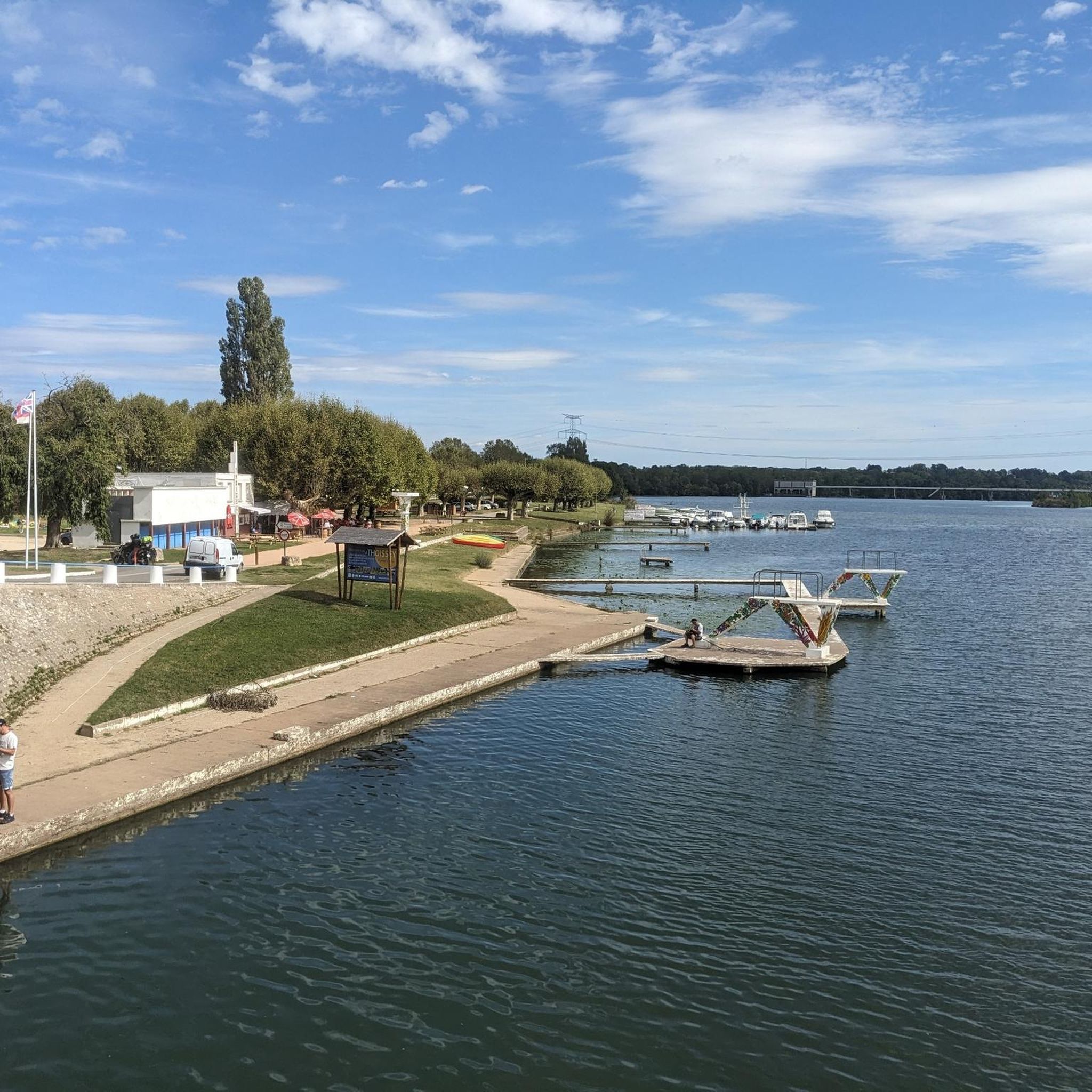
Beautiful campsite right on the Voie Bleu. Possibility to swim in the Saône and in the outdoor pool next door. Cozy snack bar right next to the campsite under plane trees on the bank. Sometimes with live music in the evenings. Various bungalows or permanent tents can also be rented at the campsite. Restaurant and small shop available. Clearly recommended!
1
0
Frequently Asked Questions
How many gravel bike trails are available in Montceaux?
Montceaux offers over 30 gravel bike trails, catering to various skill levels. You'll find a good mix of easy, moderate, and difficult routes to explore.
What kind of terrain can I expect on Montceaux's gravel bike trails?
The terrain around Montceaux is quite diverse, featuring a mix of gravel paths, forest trails, and some paved segments. You'll encounter varied landscapes, including areas near the River Calonne and the broader Dombes region, known for its ponds. Some advanced routes may even require pushing your bike on challenging sections.
Are there any family-friendly gravel bike routes in Montceaux?
Yes, Montceaux has several easier routes suitable for families. For instance, the Montmerle-sur-Saône – Saône loop from Taponas is an easy 25 km ride with minimal elevation gain, perfect for a relaxed family outing.
What are the difficulty levels of the gravel bike trails?
The trails range from easy to difficult. There are 8 easy routes, 18 moderate routes, and 9 difficult routes. Difficult routes, like the La Voie Bleue – Estacade de Trévoux loop from Belleville-sur-Saône, can be up to 153 km long with significant elevation gain.
Are there any scenic viewpoints or landmarks along the gravel trails?
Absolutely. Many routes offer picturesque views, especially along the La Voie Bleue which follows the Saône river. You can also find trails that pass by notable landmarks such as Mont Brouilly, or the historic Château de Fléchères. The region itself is rich in history, with sites like the Crozet mill and Built castle nearby.
What is the best time of year to go gravel biking in Montceaux?
The diverse terrain of Montceaux makes it enjoyable across multiple seasons. Spring and autumn offer pleasant temperatures and beautiful scenery, while summer is great for longer rides along the river. Even winter can be an option, though some challenging segments might be more demanding.
Are there any loop routes available for gravel biking?
Yes, many of the gravel bike trails in Montceaux are designed as loops, allowing you to start and end at the same point. Examples include the La Voie Bleue – Trévoux loop from Belleville-sur-Saône and the La Voie Bleue – View of Mont Brouilly loop from Belleville-sur-Saône.
What do other gravel bikers enjoy most about Montceaux?
The komoot community highly rates the gravel biking in Montceaux, with an average score of 4.5 stars from over 30 reviews. Cyclists often praise the varied landscapes, the mix of gravel and forest paths, and the scenic sections along the river, particularly on routes like the La Voie Bleue.
Are there longer routes for experienced gravel bikers?
For experienced riders seeking a challenge, Montceaux offers several longer and more difficult routes. The La Voie Bleue – Estacade de Trévoux loop from Belleville-sur-Saône is a demanding 153 km path with significant elevation gain, perfect for an extensive ride.
Can I access the gravel bike trails using public transport?
While specific public transport links directly to trailheads can vary, many routes start from towns like Belleville-sur-Saône, which may have public transport connections. It's advisable to check local bus or train schedules for the most convenient access points to the wider Montceaux region.
Where can I park when visiting the gravel bike trails?
Parking availability will depend on your chosen starting point. Routes often begin near towns or villages such as Belleville-sur-Saône or Taponas, where public parking is typically available. Always check local signage for parking regulations.
Are there any cafes or places to stop for refreshments along the routes?
Many routes pass through or near small towns and villages where you can find cafes, bakeries, or small shops for refreshments. The region is also close to the Beaujolais Wine Route, offering opportunities to explore local culinary delights.
Most popular attractions around Montceaux

Get inspired with the komoot mobile app


Explore more
Browse the best Gravel rides in other regions.
