The best walks and hikes around Montceaux
4.3
(159)
788
hikers
103
hikes
Hiking around Montceaux offers diverse landscapes, characterized by extensive forests, riverbanks along the Marne, Saône, and Dordogne, and rolling hills. The region provides a network of trails suitable for various skill levels, from gentle riverside paths to more challenging routes through varied terrain. These areas feature well-maintained and signposted paths, allowing for exploration of natural beauty and local heritage.
Best hiking trails around Montceaux
- The most popular hiking route is Les Minimes au Paradis, a 7.6 miles (12.2 km)…
Last updated: June 27, 2026
4.7
(3)
22
hikers
12.2km
03:14
120m
120m
Moderate hike. Good fitness required. Easily-accessible paths. Suitable for all skill levels.
5.0
(1)
10
hikers
11.9km
03:09
120m
120m
Moderate hike. Good fitness required. Easily-accessible paths. Suitable for all skill levels.

Sign up for free
5.0
(3)
7
hikers
4.58km
01:14
60m
60m
Easy hike. Great for any fitness level. Easily-accessible paths. Suitable for all skill levels.
7
hikers
4.77km
01:17
60m
50m
Easy hike. Great for any fitness level. Easily-accessible paths. Suitable for all skill levels.
5.0
(13)
14
hikers
6.35km
01:36
10m
10m
Easy hike. Great for any fitness level. Easily-accessible paths. Suitable for all skill levels.
Get access to more routes and recommendations from other explorers.
Sign up for free
Already have an account?
Our route recommendations are based on thousands of hikes, rides, and runs completed by other people on komoot.
Start today with a free account
Your next adventure awaits.
Login or Signup

Tips from the Community

Take the S1 on the right, behind the church to join the given route, continue either on the S1 or like us on S0 to join the recorded route
0
0

The Voie Bleue is a cycle route of nearly 700 kilometers that connects Lyon to Luxembourg. In the Ain department, it runs along pleasant towpaths suitable for all types of bicycles.
0
0

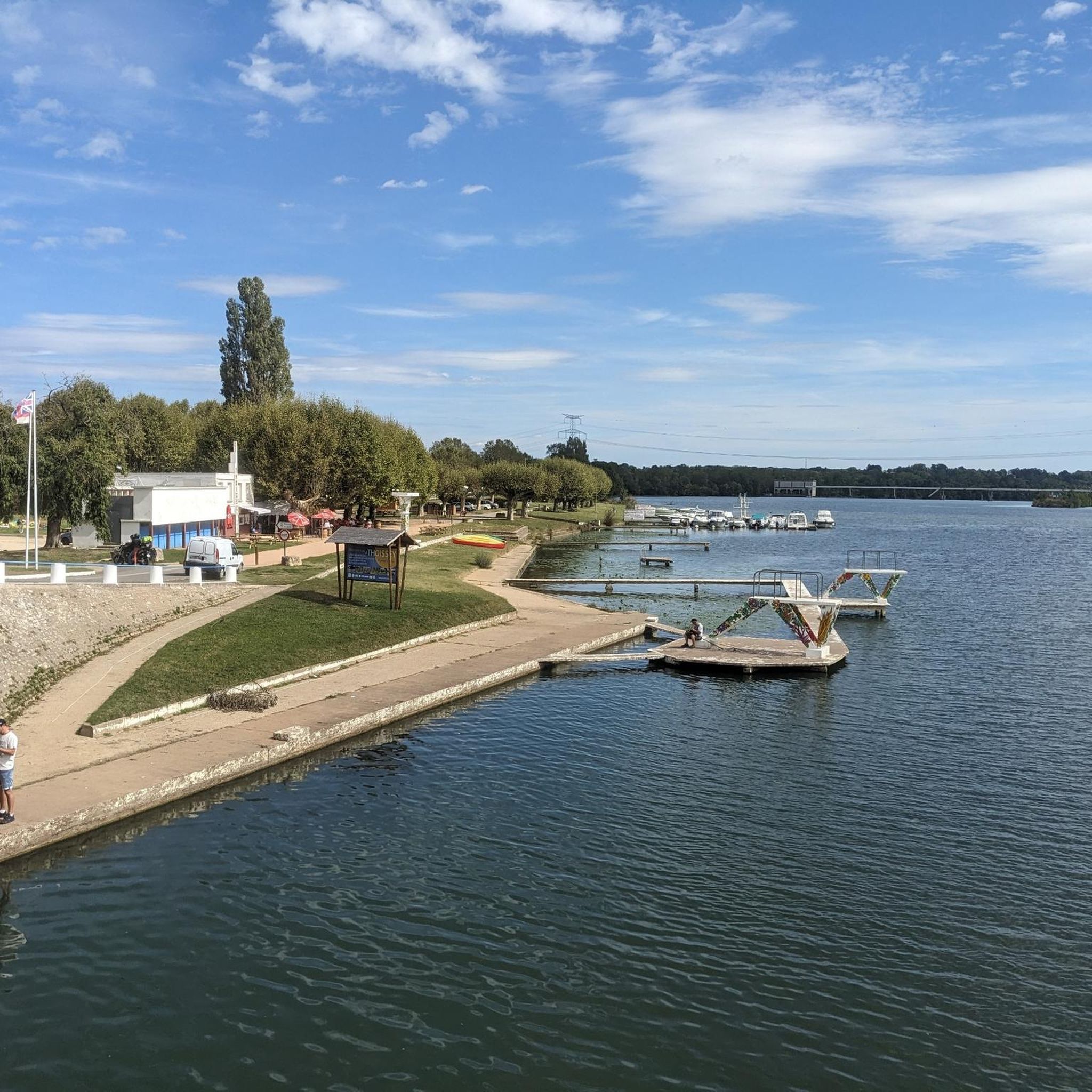
Ideally located on the banks of the Saône, north of Lyon and close to the Beaujolais hillsides, Guéreins is a very pleasant village.
0
0
The Saône was described for the first time by Julius Caesar in his collection The Conquest of the Gauls. He describes this river as being so calm that one does not know in which direction it flows.
0
0

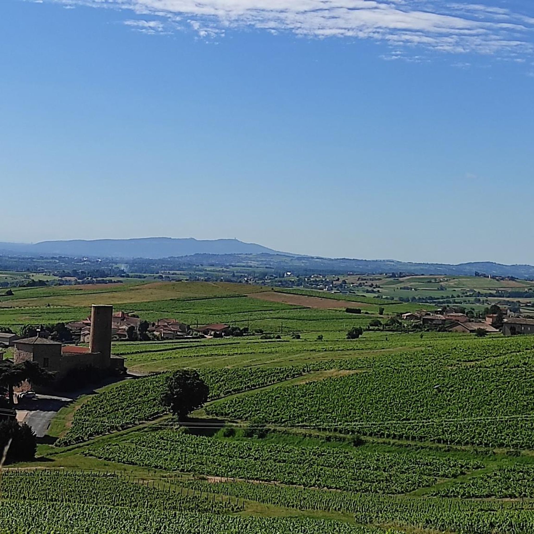
The Tour des Minimes in Montmerle sur Saône was restored in 2020. It can be visited with the adjacent chapel. Inside, a total of 87 steps of a wooden staircase lead to its top. From this height, you have a phenomenal view of Beaujolais and the Saône.
1
0

A path suitable for gravel bikes and travel bikes.
1
1

Very pretty gravel path, very rolling during off-peak hours. A little boring over time like most towpaths.
2
0
The Tour des Minimes in Montmerle sur Saône was restored in 2020. It can be visited together with the adjacent chapel. Inside, a total of 87 steps lead up a wooden spiral staircase to its top, from which you have a phenomenal view of the Beaujolais and the Saône.
1
0
Frequently Asked Questions
How many hiking trails are available around Montceaux?
There are over 90 hiking routes in the Montceaux area, offering a wide variety of options for different skill levels and preferences. This includes 35 easy routes, 56 moderate routes, and a few more challenging trails.
What kind of terrain can I expect on hikes in Montceaux?
Hiking around Montceaux offers diverse landscapes. You'll find extensive forests, riverbanks along the Marne, Saône, and Dordogne, and rolling hills. Trails can range from gentle riverside paths to more demanding routes through varied terrain, often featuring well-maintained and signposted paths.
Are there easy hiking options for beginners or casual walkers?
Yes, Montceaux has plenty of easy hiking options. There are 35 easy routes available, perfect for beginners or those looking for a relaxed stroll. For example, the Saône riverside loop from Guéreins is an easy 5 km trail that takes about an hour and a quarter to complete, offering pleasant riverside views.
What is the best time of year to go hiking in Montceaux?
The Montceaux region is generally attractive for hiking throughout the warmer months, from spring to autumn, when the forests are lush and riverbanks are inviting. Spring brings blooming flora, while autumn offers beautiful foliage. Even in winter, some marked trails, particularly in areas like the Montceaux forest, can be enjoyed, though conditions may vary.
Are there any circular hiking routes in Montceaux?
Yes, many routes in Montceaux are designed as circular walks, allowing you to start and end at the same point. A popular moderate option is the Loop in Montceaux 01090 loop from Montceaux, which is nearly 12 km long and offers a mix of forested sections and open views.
Can I bring my dog on the hiking trails in Montceaux?
Generally, dogs are welcome on many hiking trails in the Montceaux region, especially in natural forest areas and along river paths. However, it's always recommended to keep them on a leash, particularly in protected areas or near wildlife, and to check local regulations for specific trails or nature reserves.
Are there family-friendly hiking trails suitable for children?
Yes, with 35 easy routes available, Montceaux offers many family-friendly options. Trails along the riverbanks or shorter loops through less challenging forest sections are ideal for families with children. These paths often provide a gentle introduction to hiking and opportunities to explore nature together.
What interesting landmarks or natural features can I see while hiking?
While hiking in Montceaux, you can discover a variety of landmarks and natural features. In the Montceaux-les-Meaux area, you might encounter sections of the Dhuys aqueduct. Near the Saône, you can enjoy the Towpath along the Saône. Other notable attractions in the broader region include the historic Château de Fléchères and the scenic Mont Brouilly.
Are there any riverside walks in the Montceaux area?
Absolutely. The Montceaux region is characterized by its proximity to several rivers, including the Marne, Saône, and Dordogne. You'll find numerous trails that follow these riverbanks, offering picturesque views and often flatter terrain. The Saône riverside loop from Montmerle-sur-Saône is a great example of a pleasant riverside walk.
Where can I find more information about hiking in the Creusot Montceau area specifically?
For more detailed information on hiking in the Creusot Montceau area, which is known for its extensive network of trails and diverse landscapes, you can visit the local tourism website. They offer resources on various walks and hikes, including the 'Balades Vertes' network. You can explore options at creusotmontceautourisme.com.
Is public transport available to access hiking trails in Montceaux?
Access to specific trailheads by public transport can vary depending on the exact location within the broader Montceaux region. While some larger towns may have bus or train services, many trailheads, especially those deeper in forests or rural areas, might require a car for convenient access. It's advisable to check local transport schedules for your specific starting point.
Are there places to park near the trailheads?
Yes, for many popular hiking trails and forest entrances in the Montceaux area, you will typically find designated parking areas. These can range from small roadside pull-offs to larger car parks, especially near well-known starting points for routes. It's always a good idea to check the specific tour details on komoot for parking information if available.
What do other hikers say about the trails in Montceaux?
The hiking trails in Montceaux are highly regarded by the komoot community, with an impressive average rating of 4.4 stars from over 130 reviews. Hikers often praise the diverse landscapes, from tranquil forests to scenic river views, and appreciate the well-maintained paths that cater to various skill levels.
Most popular routes around Montceaux
Most popular attractions around Montceaux

Get inspired with the komoot mobile app


Explore more
Browse the best Hikes in other regions.
