The 18 Most Amazing Peaks around Heidenheim an der Brenz
Best mountain peaks around Heidenheim an der Brenz are situated in the Swabian Alb, a low mountain range in southern Germany. This region is characterized by rolling hills, plateaus, and valleys, rather than towering peaks. The diverse natural landscape includes the Brenz river valley and surrounding hills of the Swabian Jura, offering a variety of elevations and formations. These landmarks and natural features provide opportunities for exploration and offer extensive views.
Best mountain peaks around Heidenheim an der Brenz
- The…
Last updated: May 11, 2026
Volkmarsberg Observation Tower
Highlight • Viewpoint
Translated by Google •
Tip by

Wöllerstein Summit
Highlight • Summit
Translated by Google •
Tip by

Sign up now to discover places like this
Get recommendations on the best single tracks, peaks, & plenty of other exciting outdoor places.
Sign up for free
Knillberg
Highlight • Summit
Translated by Google •
Tip by

Wäldlesfels Rock Formation
Highlight • Natural Monument
Translated by Google •
Tip by

Schreiber Cave — Bat Habitat
Highlight • Cave
Translated by Google •
Tip by

Sign up for free to discover even more peaks around Heidenheim an der Brenz.
Sign up for free
Already have an account?
Start today with a free account
Your next adventure awaits.
Login or Signup
Popular around Heidenheim an der Brenz

Main-Danube-Lake Constance Trail – Along iconic waters

Germany's Hohenlohe-Ostalb Cycle Route – From idyllic valleys to the Swabian Alb
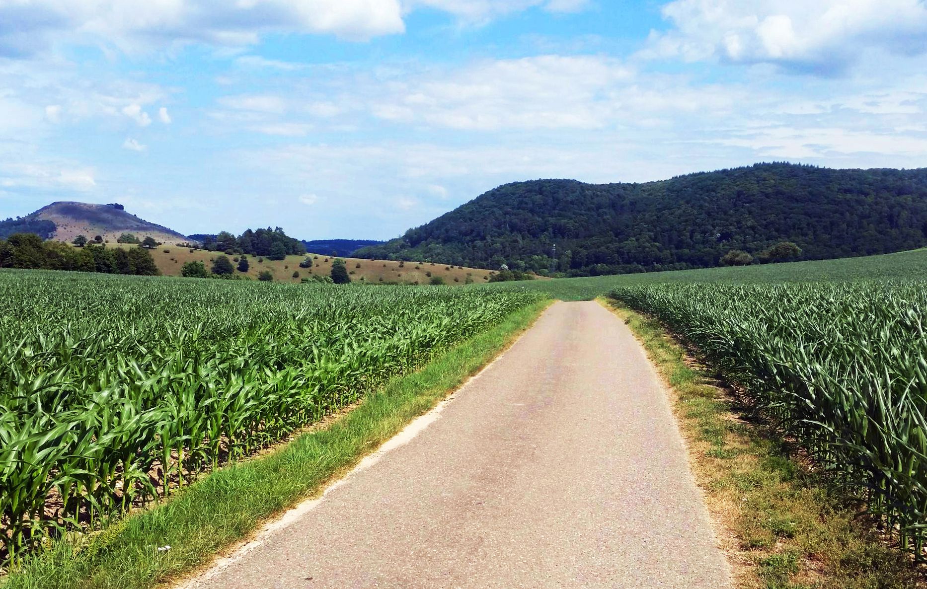
From Crater to Crater — 4 stages in the Geopark Ries and across the Swabian Alb
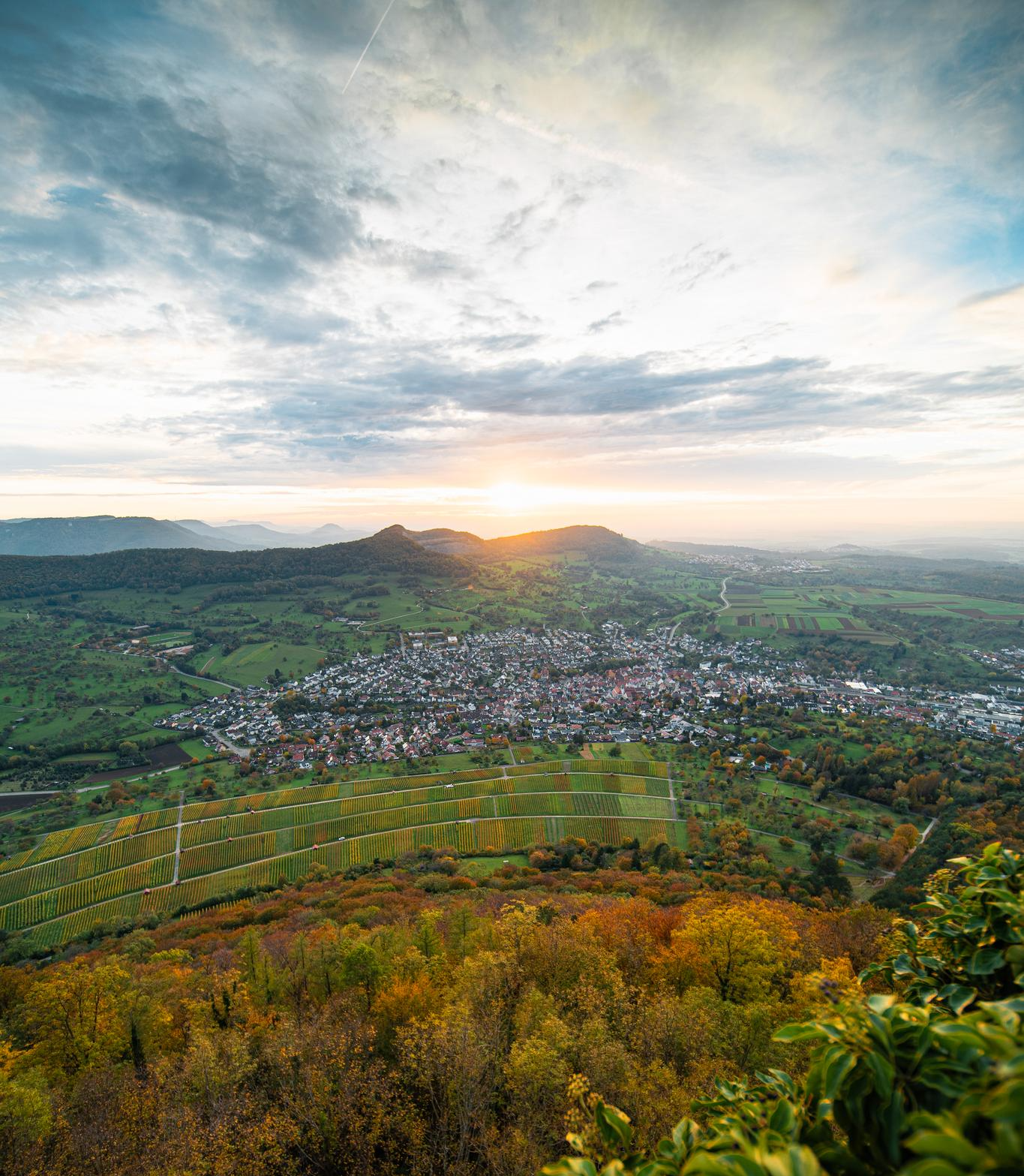
E-bike pleasure rides in the Swabian Alb
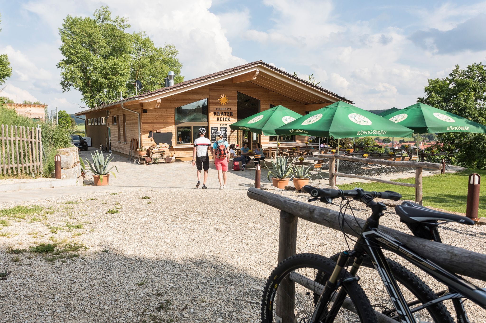
Cycling with all your senses on the Swabian Alb
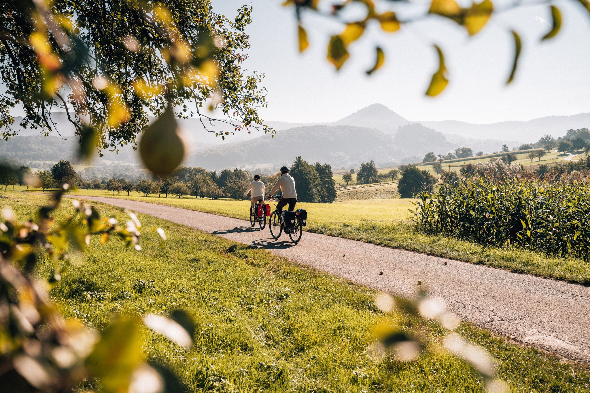
Cycle the Swabian Alb Cycle Path to Lake Constance
9 beautiful day rides in the Swabian Jura in Germany
Prehistoric landscapes and the Ice Age – cycling in the Brenz region

Counting sheep on the Albschäfer Trail
Counting sheep on the Albschäfer Trail
Other adventures around Heidenheim an der Brenz


Tips from the Community

The Schreiber Cave is a cave formed approximately 15 million years ago, carved out of strata in the approximately 30 cm thick limestone of the White Jura Zeta. It was discovered after two shafts collapsed during blasting operations. In May 1960, it was named after the Heidenheim speleologist Walter Schreiber († 1960), who first surveyed the cave in collaboration with the Laichingen Cave and Local History Society. Further research, surveys, and mapping were carried out in 1971/72, 1980, and from 1997 onwards. The cave is given as 210 m long, with an elevation difference of 17 m. Descent into the Schreiber Cave leads behind the gate into a 2 m deep pit, which has a floor-to-ceiling access passage with a metal frame on the right side. Behind it, a 2m wide passage opens up, into which one must descend vertically for almost 4m. At the end of this short passage, one enters a room measuring 8m x 3m and 2m high, littered with fallen rock (slump). In the eastern ceiling area, there is a vertical shaft that is covered at the surface. The collapse shaft and the bat passage branch off to the left or half-left, and the main passage of the cave runs tangentially at the right end of the room. Following the 40m long main passage to the left in a north-northwest direction, one reaches the junction with the dead end and, after 19m, reaches the western end of the cave. In the opposite direction, the main passage leads to the Great Slump, in whose rubble the skull and several bones of an aurochs were recovered. It is therefore assumed that the cave was once more easily accessible than it is today. In front of the Great Collapse, another passage branches off, running parallel to the main passage and connected to it by two loops. Another excavated passage behind the Great Collapse leads to the 7m × 5m Bison Hall, whose ceiling is 2m high. Two parallel passages lead out of it, the left one ending in a sinter passage after about 14m, thus marking the easternmost point of the cave.
0
0

There is no view from the rock itself. Everything is overgrown.
1
0

When you drive past below, you can't see the rock. It's quite impressive considering the entire basin was once a lake.
2
0


Nice part of the Meteor Crater circular hiking trail
0
0

Please do not “take” the Wöllerstein from the south side! From the north side it's fine.
6
1

Of course you can cycle to the Wöllerstein. But ONLY if you push the bike! It is clear on the paths that cycling is not permitted. Unfortunately, there are so many illiterate cyclists...
2
0
From the tower of the Volkmarsberg you have an excellent view in good weather (good visibility) to the Alps!
9
1
Frequently Asked Questions
What are some popular mountain peaks and viewpoints around Heidenheim an der Brenz?
The region offers several notable peaks and viewpoints. The Volkmarsberg Observation Tower is highly popular, offering extensive vistas where you can sometimes see as far as the Zugspitze. Another favorite is Wöllerstein Summit, a 723-meter high peak with a pleasant rest area. For geological interest, Knillberg provides insights into the Steinheim Basin's meteorite impact history.
Are there family-friendly mountain peaks or trails suitable for children?
Yes, both the Volkmarsberg Observation Tower and Wöllerstein Summit are considered family-friendly. The Volkmarsberg offers a tower for climbing and a hut for refreshments, while Wöllerstein has a rest area with benches and tables, making it a good spot for a family break after a hike.
What kind of natural features can I explore near the mountain peaks?
Beyond the peaks themselves, you can discover unique natural features. The Knillberg is part of the Steinheim Basin, a geological formation from a meteorite impact. The Wäldlesfels Rock Formation is an impressive 8-meter high reef, a remnant of the area's ancient geological past. Additionally, the Schreiber Cave — Bat Habitat offers a glimpse into local wildlife, serving as a bat quarters in autumn and winter.
Are there easy hiking routes near the mountain peaks for beginners?
Absolutely. You can find several easy hiking routes around Heidenheim an der Brenz. For example, trails like the 'Eichert Wildlife Park, Heidenheim – Hermannsfelsen loop' or the 'Birkel Cave – Saumahdbrunnen Spring loop' offer accessible options. You can explore more easy hikes in the region by visiting the Easy hikes around Heidenheim an der Brenz guide.
What are the opening hours for facilities like huts or towers on the peaks?
The hut and observation tower at Volkmarsberg Observation Tower are typically open on Saturdays from 1:00 p.m. to 8:00 p.m. and on Sundays/public holidays from 9:00 a.m. to 6:00 p.m. The Schreiber Cave — Bat Habitat is open for visitors from May 16th to July 31st. It's always a good idea to check local information for the most current opening times, especially for smaller huts.
Can I find refreshments or places to rest near the mountain peaks?
Yes, several peaks offer amenities. The Volkmarsberg Observation Tower has a hut that provides coffee, cake, and Vespers on weekends. At Wöllerstein Summit, you'll find a rest area with benches, tables, and a hut. Near the Wäldlesfels Rock Formation, there's the mountain hut "Kraterblick" where you can enjoy coffee, cake, or a meal with a view of the Steinheimer basin.
What other outdoor activities can I do near these mountain peaks?
Besides hiking, the region around Heidenheim an der Brenz offers various outdoor activities. You can explore numerous road cycling routes, such as the 'Lake Itzelberg – Brenztopf Spring loop,' detailed in the Road Cycling Routes around Heidenheim an der Brenz guide. There are also running trails, including the 'Scenic Path to Heidenheim' or routes around Itzelberger Lake, which you can find in the Running Trails around Heidenheim an der Brenz guide.
Are there any historical or cultural sites associated with the mountain peaks?
Yes, some peaks have historical significance. The Wöllerstein Summit features a summit cross and a summit book, reflecting a tradition among hikers. Near the Wäldlesfels Rock Formation, you can find the tombs of Ludwig and Louise Schaffer, who played a role in preserving the algal limestone rock. The region itself, particularly around the Steinheim Basin, holds geological history from a meteorite impact.
What do visitors particularly enjoy about the mountain peaks around Heidenheim an der Brenz?
Visitors appreciate the diverse experiences offered by the region's peaks. Many enjoy the extensive views from the Volkmarsberg Observation Tower, especially on clear days. The peaceful rest areas at summits like Wöllerstein Summit are popular for lingering. The unique geological history, such as the meteorite impact visible from Knillberg, also fascinates many.
Can I find challenging hiking routes for experienced climbers?
While many routes are intermediate, some areas offer more challenging sections. For instance, Knillberg is categorized as both intermediate and challenging, depending on the approach. The entrance to the Schreiber Cave — Bat Habitat is noted as very steep, indicating a more demanding ascent to that particular highlight.
Is it possible to see wildlife near the mountain peaks?
Yes, the natural environment around the peaks supports local wildlife. On the idyllic meadows of Knillberg, you have a good chance of encountering an Alb shepherd with their herd. The Schreiber Cave — Bat Habitat is specifically known as a home for bats, especially during autumn and winter when it serves as their quarters.
Most popular routes around Heidenheim an der Brenz
Most popular attractions around Heidenheim an der Brenz

Get inspired with the komoot mobile app


Explore more
See even more amazing summits around Heidenheim an der Brenz with these guides:
