The best hikes from bus stations around Heidenheim an der Brenz
4.6
(792)
4,331
hikers
273
hikes
Bus station hiking trails around Heidenheim an der Brenz navigate a varied landscape at the eastern edge of the Swabian Alb. The region features the gentle hills and fields of the Härtsfeld, the forested mountain ranges of the Albuch, and the scenic Brenz river valley. This topography includes significant karst phenomena, such as the Steinheim Basin, a meteorite impact crater, and unique rock formations in the Eselsburger Valley. The area offers a mix of open heathlands, dense forests, and riverine…
Last updated: July 11, 2026
4.9
(135)
433
hikers
24.9km
07:00
480m
480m
Hard hike. Very good fitness required. Mostly accessible paths. Sure-footedness required.
4.8
(27)
75
hikers
Easy hike. Great for any fitness level. Easily-accessible paths. Suitable for all skill levels.

Sign up for free
4.6
(14)
92
hikers
Moderate hike. Good fitness required. Easily-accessible paths. Suitable for all skill levels.
4.9
(68)
232
hikers
Easy hike. Great for any fitness level. Easily-accessible paths. Suitable for all skill levels.
4.8
(11)
45
hikers
10.2km
02:45
140m
130m
Moderate hike. Good fitness required. Easily-accessible paths. Suitable for all skill levels.
Get access to more routes and recommendations from other explorers.
Sign up for free
Already have an account?
Our route recommendations are based on thousands of hikes, rides, and runs completed by other people on komoot.
Start today with a free account
Your next adventure awaits.
Login or Signup
Popular around Heidenheim an der Brenz

Main-Danube-Lake Constance Trail – Along iconic waters

Counting sheep on the Albschäfer Trail
Counting sheep on the Albschäfer Trail

Germany's Hohenlohe-Ostalb Cycle Route – From idyllic valleys to the Swabian Alb
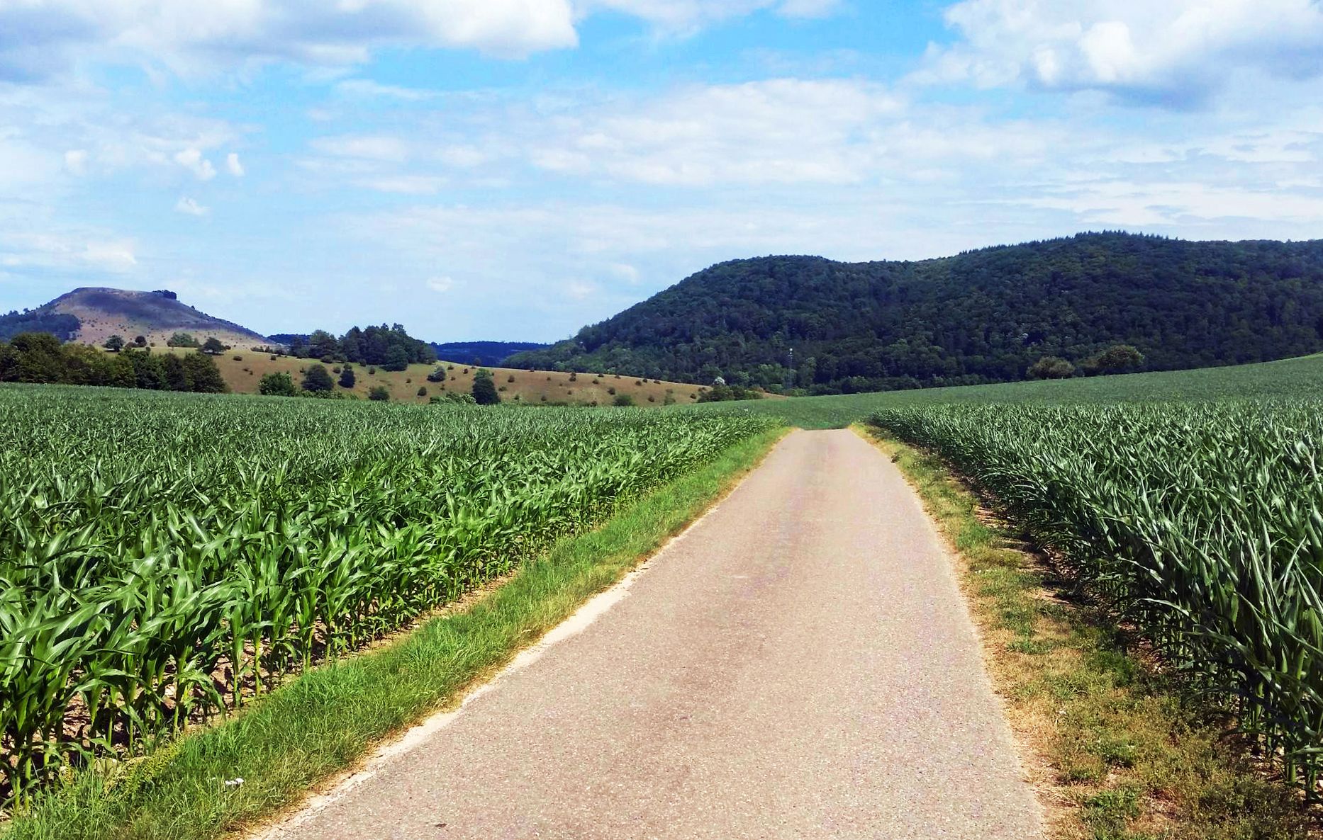
From Crater to Crater — 4 stages in the Geopark Ries and across the Swabian Alb
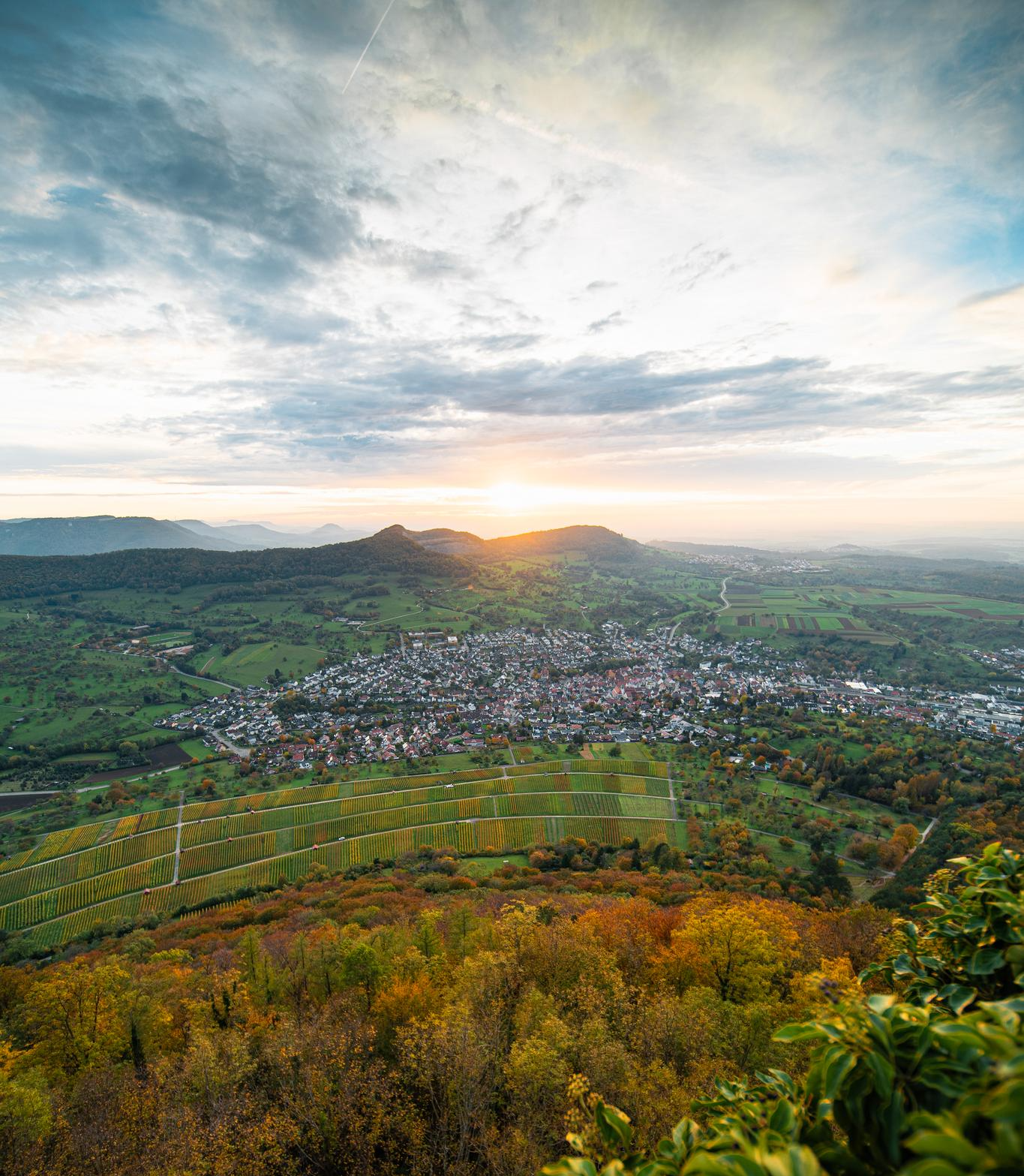
E-bike pleasure rides in the Swabian Alb
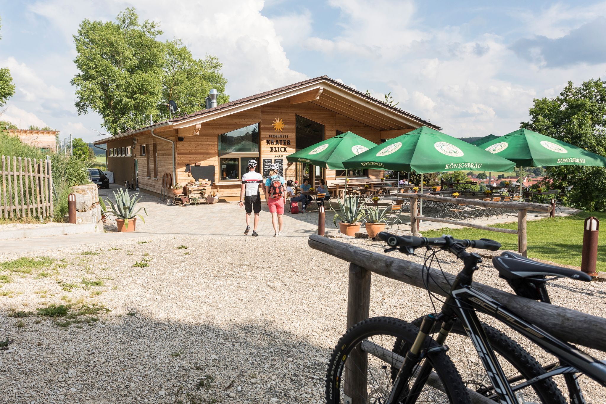
Cycling with all your senses on the Swabian Alb
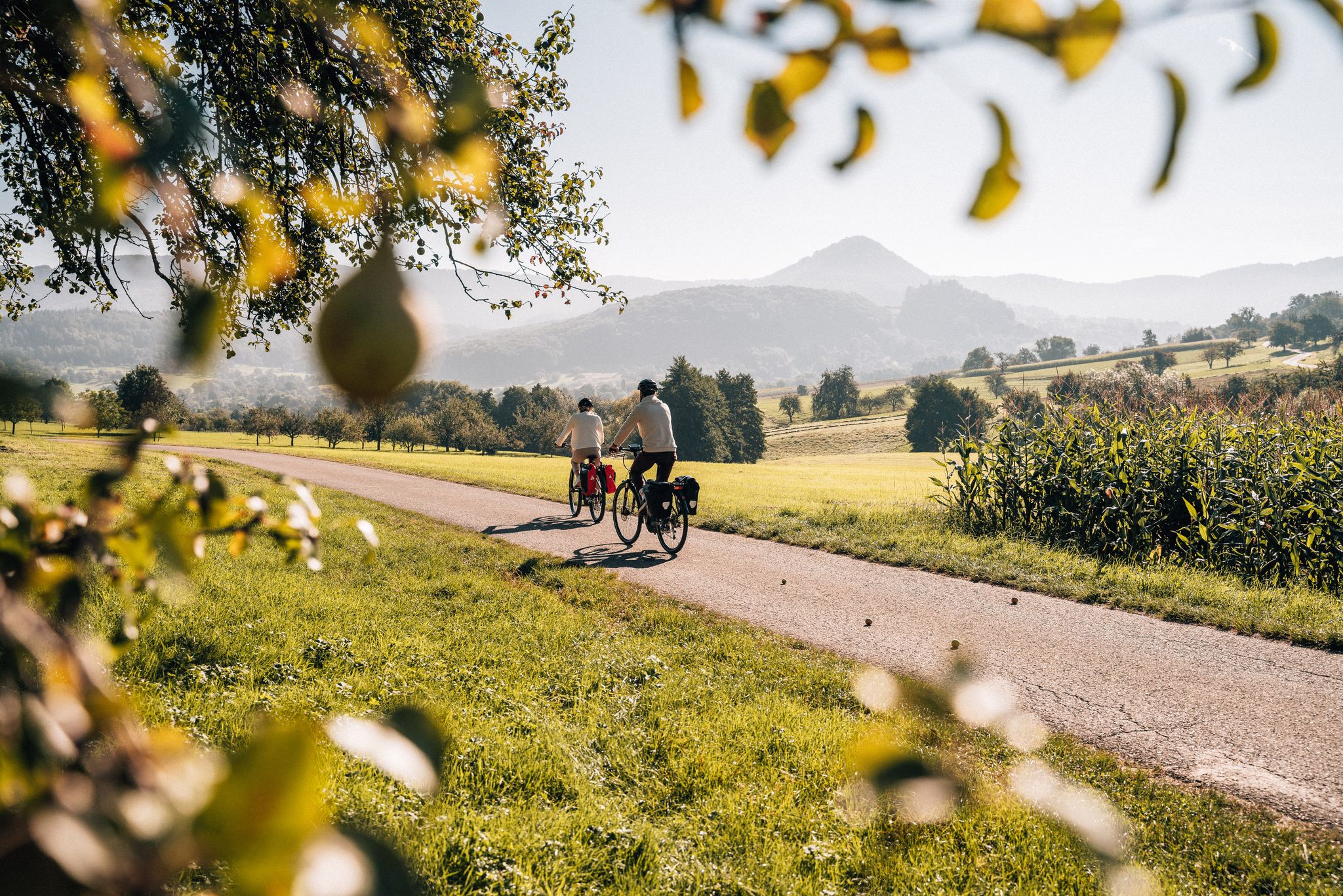
Cycle the Swabian Alb Cycle Path to Lake Constance
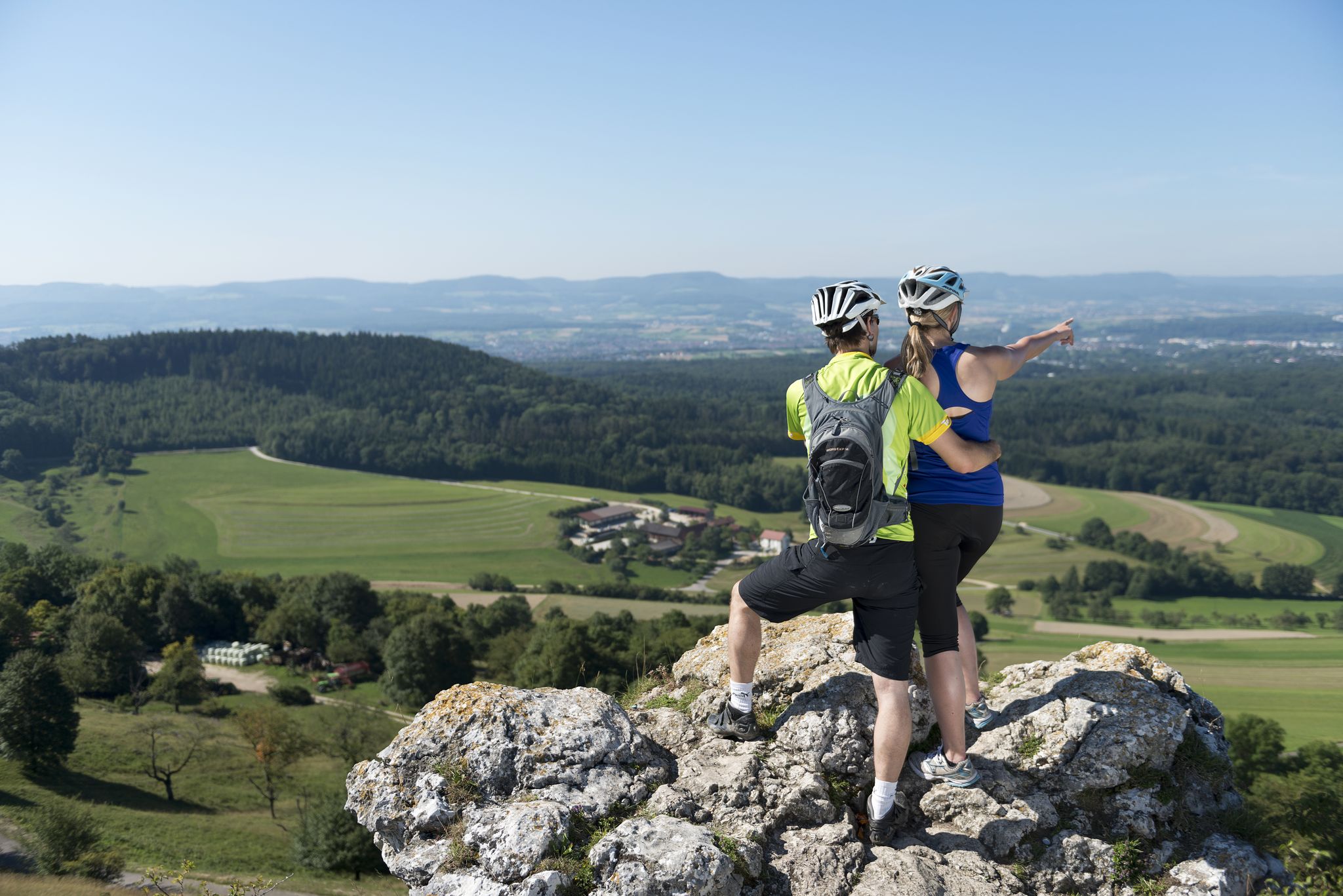
9 beautiful day rides in the Swabian Jura in Germany
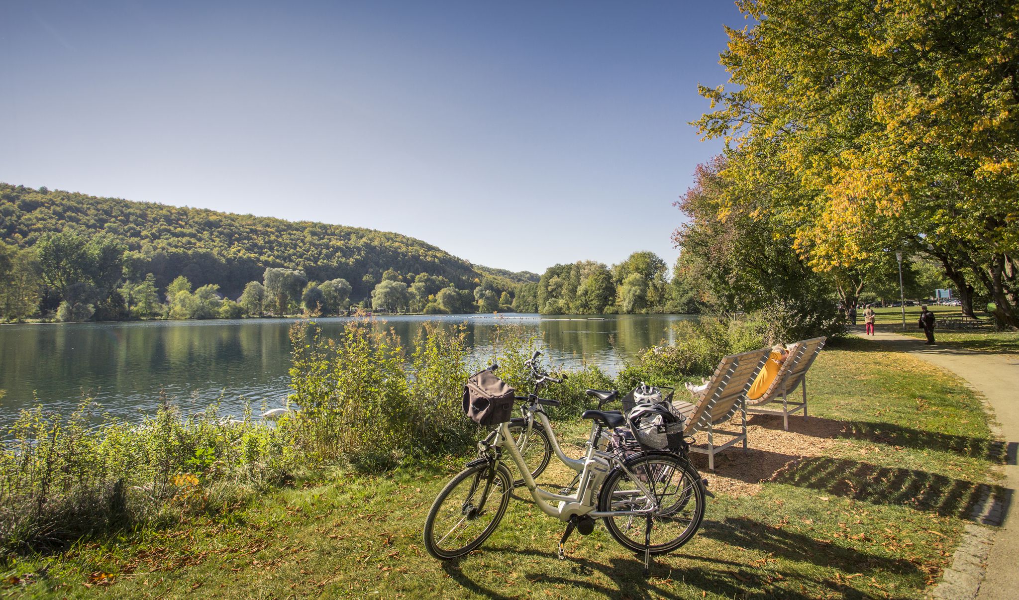
Prehistoric landscapes and the Ice Age – cycling in the Brenz region
Other adventures around Heidenheim an der Brenz


Tips from the Community

Stadium of the likeable club 1. FC Heidenheim.
0
0


Great heath landscape with a view of Steinheim
1
0
Heathland with a view of Steinheim
1
0

A truly beautiful valley that's not overly busy, even on weekends. It's perfect for cycling or hiking. The Ugental Dam, built in 1960, is also worth a visit.
0
0

From here you have a good view of Sontheim and Steinheim.
2
0
Here it goes steeply uphill, at the top there is a table with benches and a great all-round view
3
0

Always much better off in the wildlife park
0
0
Frequently Asked Questions
How many bus station hiking trails are available around Heidenheim an der Brenz?
There are over 240 hiking trails accessible directly from bus stations in and around Heidenheim an der Brenz. These routes cater to various fitness levels, with a majority being easy to moderate.
What kind of landscapes can I expect on bus-accessible hikes in Heidenheim an der Brenz?
The region offers a diverse landscape, from the picturesque Brenz Valley with its meandering river to the forested plateaus of the Albuch and the rolling hills of the Härtsfeld. You'll encounter unique geological features like the Steinheim Basin, juniper heathlands, and impressive rock formations in areas like the Eselsburger Valley and the Wental.
Are there any easy, family-friendly bus station hikes?
Yes, many routes are suitable for families. For an easy loop that explores local natural features, consider the Birkel Cave – Saumahdbrunnen Spring loop. The region also features themed trails like the Märchenwaldweg (Fairytale Forest Trail) for engaging experiences with children.
What are some notable natural attractions accessible from bus station trails?
You can explore several unique natural attractions. The Wental Rock Sea, with its bizarre dolomite formations, is a must-see. The Stone Maidens rock formations in the Eselsburger Valley are also a popular highlight. Additionally, the Brenztopf (Source of the River Brenz) is a significant karst spring worth visiting.
Are there any moderate hikes that offer good views?
Absolutely. The Eichert Wildlife Park, Heidenheim – View of Hermannsfelsen loop offers scenic vistas. Another moderate option is the View of Hermannsfelsen – Ugental Dam loop, which provides excellent viewpoints over the surrounding landscape.
Can I find challenging routes accessible by bus?
While most bus-accessible routes are easy to moderate, there are a few more challenging options. For experienced hikers, the Steinheim Meteor Crater Rim – Gnannental Dam loop is a difficult, longer route that explores the unique geology of the Steinheim Basin.
What historical sites can I visit on a bus station hike?
You can combine your hike with visits to historical sites. Hellenstein Castle, overlooking Heidenheim, is a prominent landmark. The Eichert Wildlife Park, Heidenheim – Hellenstein Castle loop is an easy route that takes you past this impressive castle.
Are there any trails that pass by lakes or water features?
Yes, several routes incorporate water features. The Lake Itzelberg is a beautiful spot for relaxation and is often part of hiking routes in the area. The Brenz river itself offers numerous picturesque riverside walks.
What do other hikers say about the bus station trails in Heidenheim an der Brenz?
The bus station trails in Heidenheim an der Brenz are highly rated by the komoot community, with an average score of 4.6 stars from over 730 ratings. Hikers often praise the region's diverse scenery, well-maintained paths, and the convenience of public transport access to trailheads.
When is the best time of year to hike these trails?
Spring and autumn are generally the best seasons for hiking in Heidenheim an der Brenz. In spring, nature is vibrant with blooming flowers, while autumn offers colorful foliage and pleasant temperatures. Both seasons typically have fewer crowds than summer.
Are there circular routes available from bus stations?
Yes, many of the bus-accessible trails are designed as circular routes, allowing you to start and end your hike at the same bus stop without needing to arrange return transport. This makes planning your trip straightforward and convenient.
Most popular routes around Heidenheim an der Brenz
Most popular attractions around Heidenheim an der Brenz

Get inspired with the komoot mobile app


Explore more
Browse the best Hikes in other regions.
