The best gravel rides around Signes
4.4
(21)
176
riders
29
rides
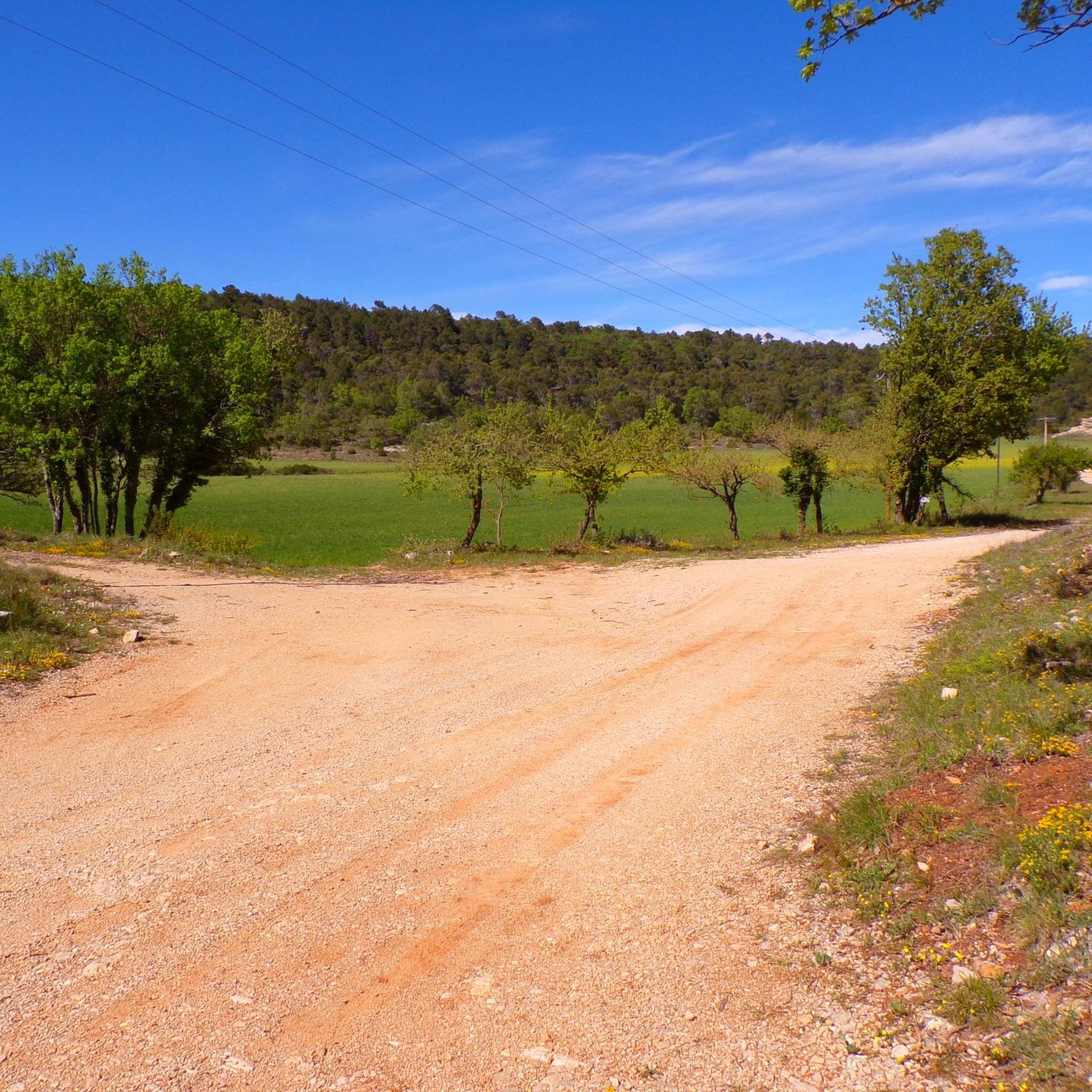
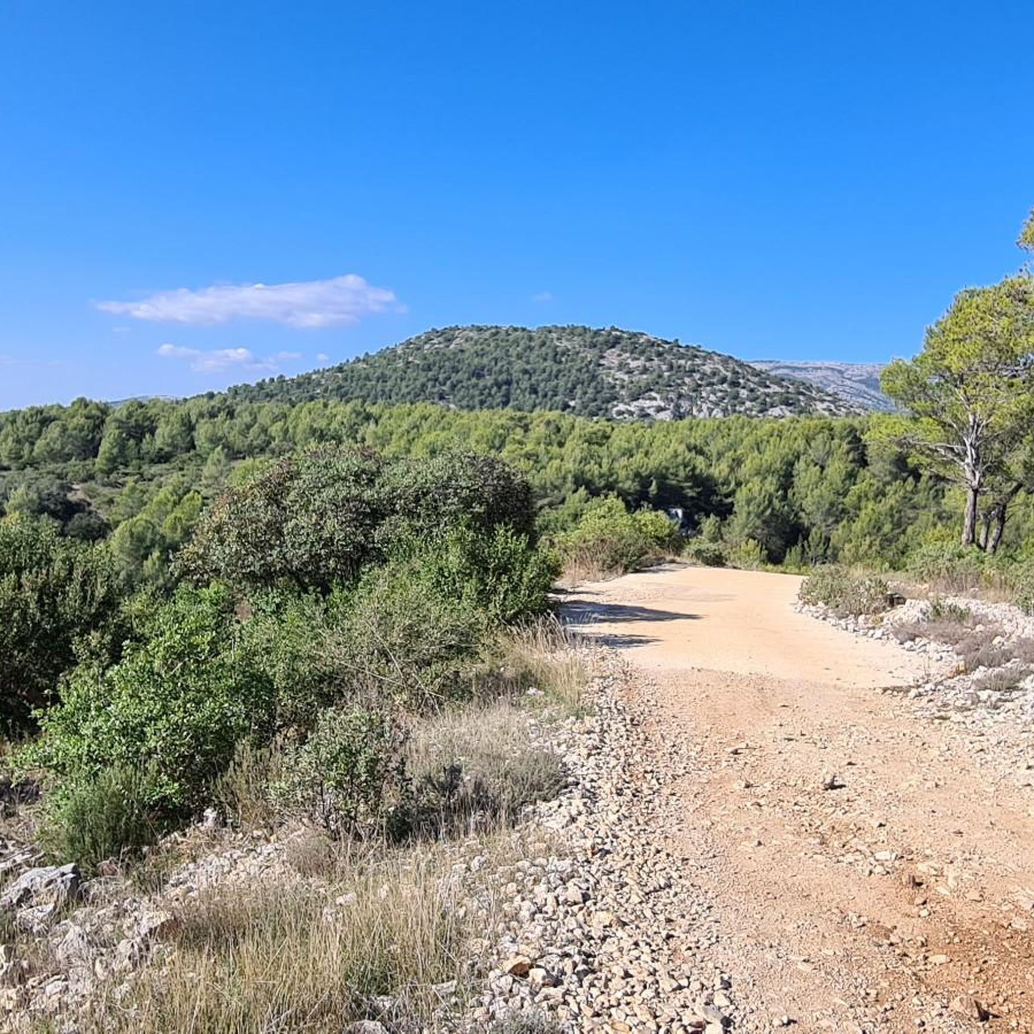
Gravel biking around Signes features a landscape characterized by significant elevation changes, with routes often traversing hilly terrain and varied surfaces. The region offers a mix of forest paths, open country roads, and challenging ascents suitable for gravel bikes. Many routes include substantial climbs and descents, providing a demanding experience for riders.
Best gravel bike trails around Signes
- The most popular gravel bike trail is Beautiful road – la coutronne loop from Nans-les-Pins, a 54.8 miles (88.2 km) trail…
Last updated: July 3, 2026
4.0
(1)
13
riders
52.8km
04:29
940m
950m
Hard gravel ride. Very good fitness required. Mostly paved surfaces. Suitable for all skill levels.
4.0
(2)
11
riders
34.1km
03:02
750m
750m
Hard gravel ride. Very good fitness required. Mostly paved surfaces. Suitable for all skill levels.

Sign up for free
6
riders
86.6km
07:06
1,970m
1,970m
Hard gravel ride. Very good fitness required. Mostly paved surfaces. Suitable for all skill levels.
10
riders
28.5km
02:26
520m
520m
Hard gravel ride. Very good fitness required. Mostly paved surfaces. Suitable for all skill levels.
3
riders
50.6km
04:23
840m
840m
Hard gravel ride. Very good fitness required. Mostly paved surfaces. Suitable for all skill levels.
Get access to more routes and recommendations from other explorers.
Sign up for free
Already have an account?
Our route recommendations are based on thousands of hikes, rides, and runs completed by other people on komoot.
Start today with a free account
Your next adventure awaits.
Login or Signup
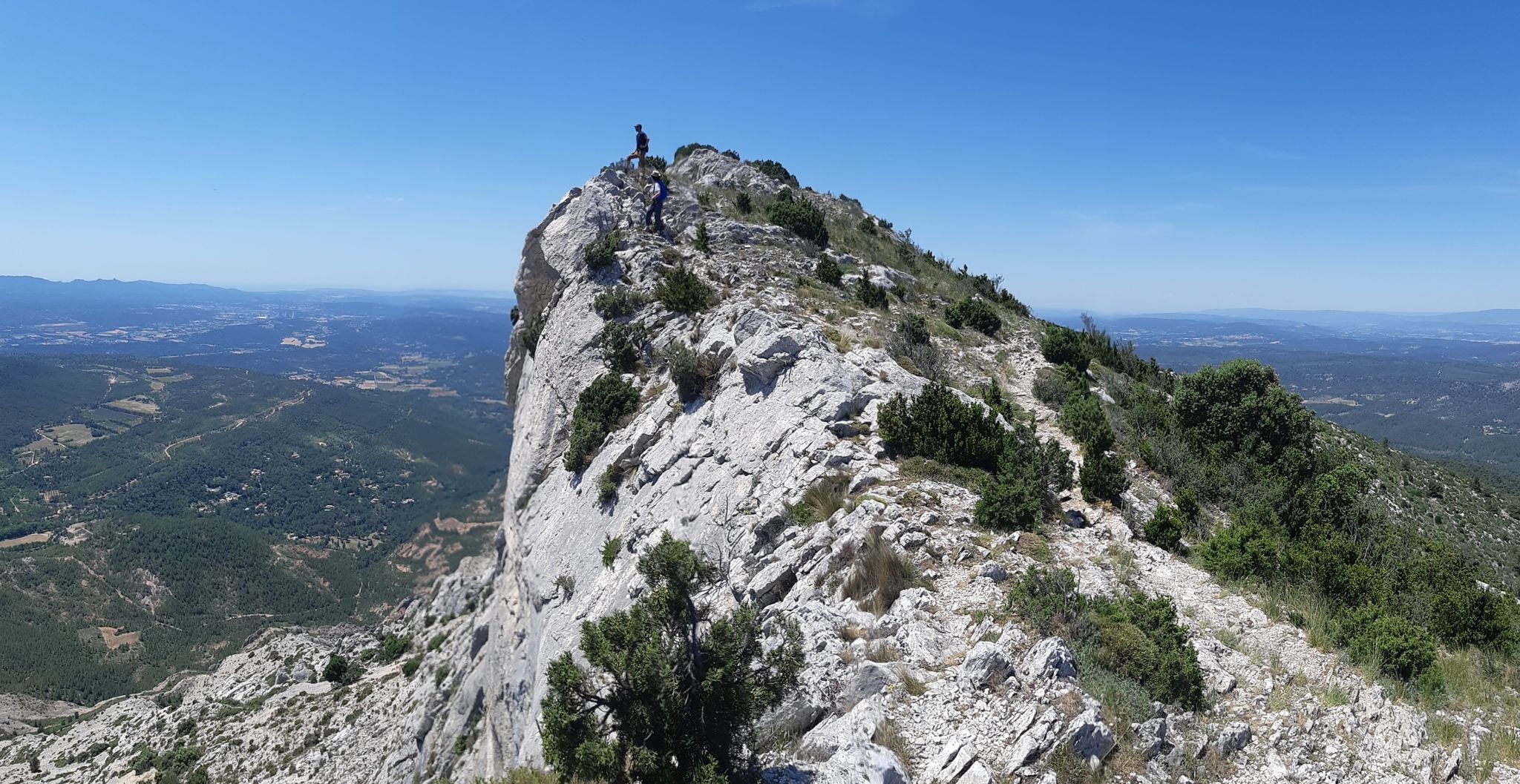
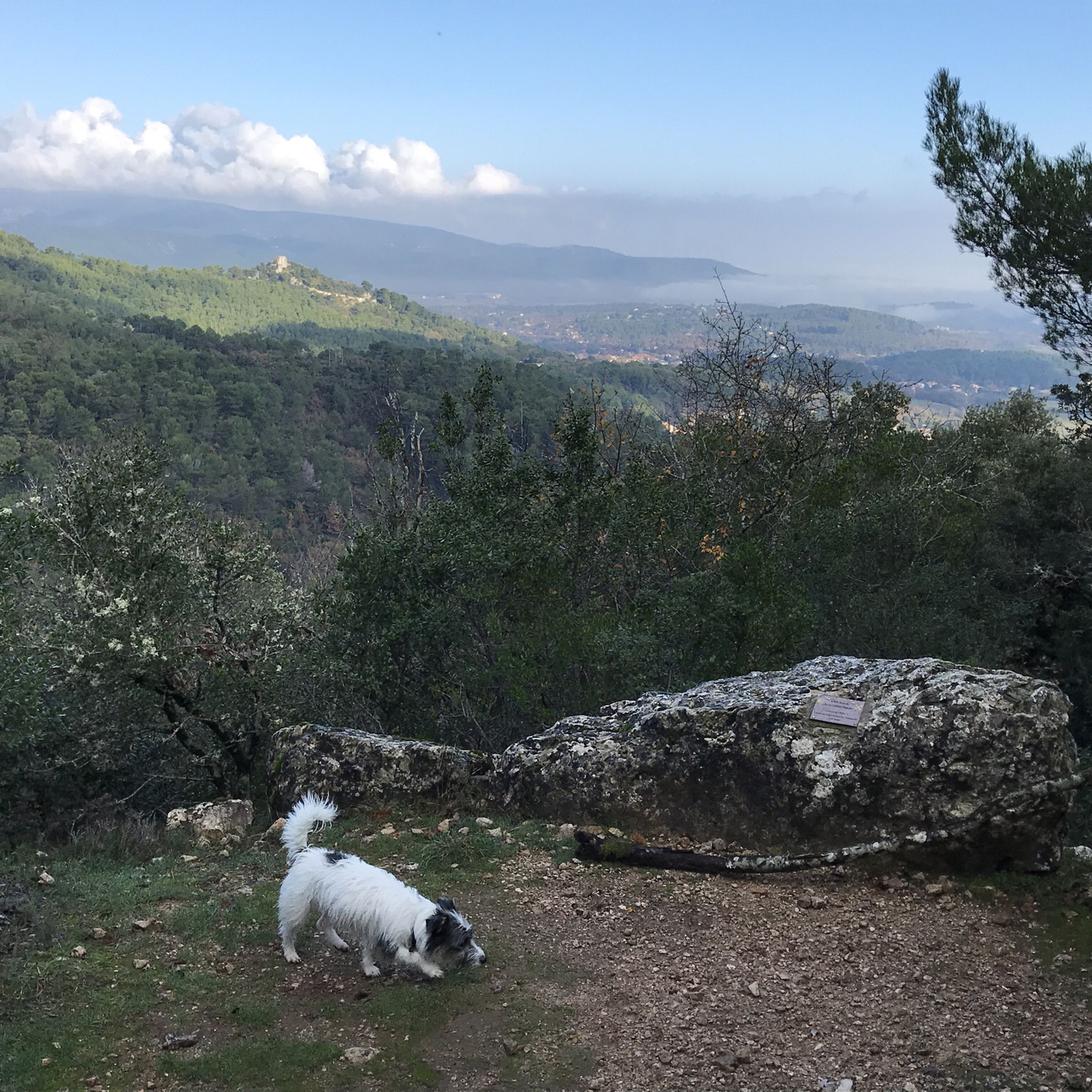
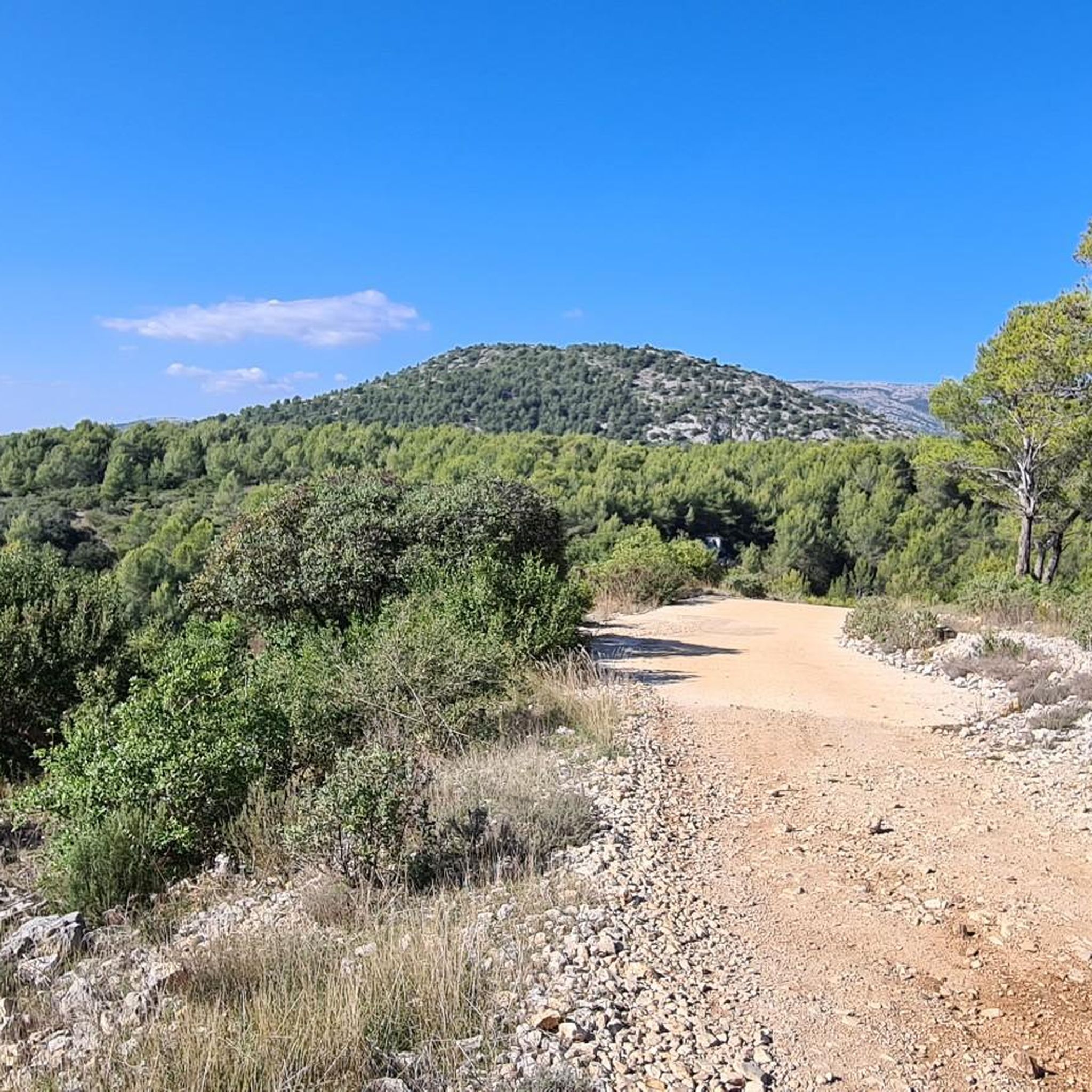
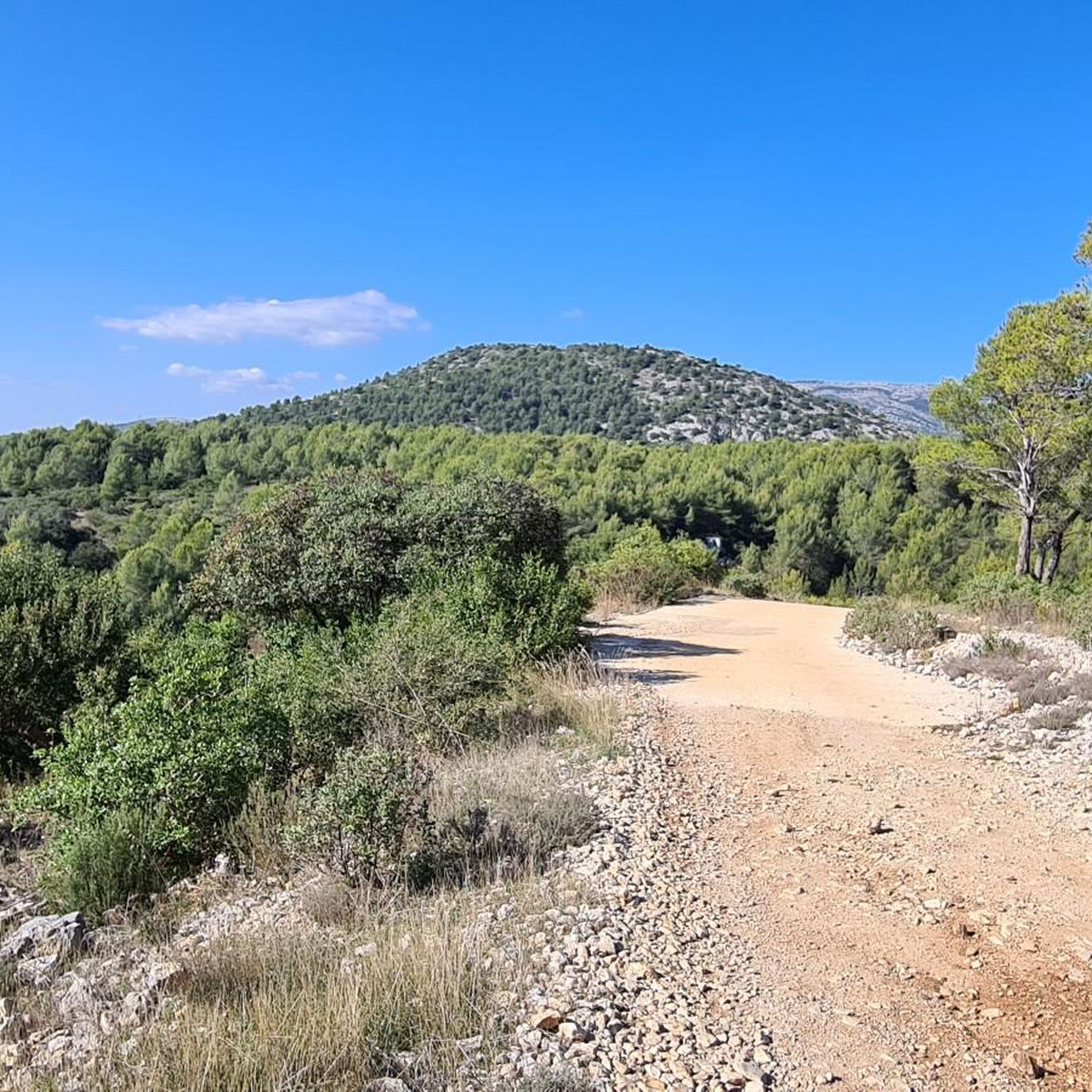
Other adventures around Signes

Tips from the Community

Easier double tracks to ride on. Flatter surfaces with not too much climbing. Some sections do get more rugged as you pass through this section. Fun and nice to ride on
0
0

Magnificent climb with a beautiful view of Marseille on arrival.
0
0

From Gémenos, the Col de l'Espigoulier is reached after an 11.2km climb (574m elevation gain). The average gradient is 5.1%. The Espigoulier's special feature? Its switchbacks! Like a beautiful mountain pass, the road twists and turns to offer views (especially of Marseille in the distance), areas for recovery, and beautiful steep sections! The surrounding landscape is simply superb. The road was particularly quiet on the way up (between 7:30 and 8:00 a.m. on a Friday in July), but it was coming hard from the opposite direction. Keep your eyes peeled 😉
0
0

This track goes south, closed by a fence, a U-turn is mandatory. The track is not indicated on the map but is located on the edge of the cultivated area on the right.
0
0

excellent single track, watch out for the people in front: pistons!
1
0

Bistros... Not many off-asphalt around Sainte-Baume 😂
0
0
Marseille seen from very high up, and from very far away 🤩
1
0
Frequently Asked Questions
What is the general difficulty level of gravel biking trails around Signes?
The gravel biking trails around Signes are predominantly challenging, characterized by significant elevation changes, demanding climbs, and varied surfaces including forest paths and open country roads. Most of the available routes are rated as difficult.
Are there any gravel bike routes suitable for beginners in Signes?
While many routes are challenging, there are a few moderate options available. However, Signes is generally known for its more demanding terrain, so even moderate routes may require a good level of fitness and experience. There are no easy routes listed in the area.
What kind of terrain can I expect on gravel bike trails near Signes?
You can expect a diverse landscape featuring hilly terrain, forest paths, and open country roads. The routes often include substantial climbs and descents, providing a demanding experience with varied surfaces suitable for gravel bikes.
Are there any circular gravel bike routes around Signes?
Yes, many of the gravel bike routes around Signes are circular. For example, you can explore the challenging Beautiful road – la coutronne loop from Nans-les-Pins, the Angel Pass – Riboux loop from Signes, or the Abîme de Maramoye – Château d'Évenos loop from Évenos, all of which offer a loop experience.
What are some scenic viewpoints or natural attractions along the gravel bike trails in Signes?
The region offers several scenic spots and natural attractions. You might encounter highlights like the Climb to Col de l'Espigoulier, the Angel Pass, or the Bertagne Peak. You can also find natural monuments such as the Saint Mary Magdalene Grotto and the Source of the Huveaune.
What do other gravel bikers enjoy most about the routes in Signes?
The komoot community highly rates the gravel biking experience in Signes, with an average score of 4.3 stars from over 20 reviews. Riders often praise the challenging ascents, expansive views, and the varied mix of forest paths and open terrain that define the region's routes.
Are there any routes that offer a unique experience or less-traveled paths?
For a route that combines challenging terrain with historical interest, consider the Stone Elephant – La Chartreuse de Montrieux loop from Belgentier. This route offers a demanding ride through varied landscapes, leading to the historic Chartreuse de Montrieux.
What is the best season for gravel biking in Signes?
Given the significant elevation changes and varied terrain, spring and autumn are generally ideal for gravel biking in Signes, offering milder temperatures. Summers can be hot, and while winter conditions are generally mild, some higher sections might be cooler or wetter. Always check local weather forecasts before heading out.
How long do gravel bike routes in Signes typically take to complete?
The duration of routes varies significantly based on distance and difficulty. For instance, the challenging Beautiful road – la coutronne loop from Nans-les-Pins, at 88.2 km, can take around 6 hours 44 minutes. Shorter, though still difficult, routes like the Gué du layât loop from Signes (28.2 km) might take about 2 hours 24 minutes.
Are there options for gravel biking routes with cafes or places to stop for refreshments?
While specific routes aren't highlighted for cafes, many routes pass through or near small towns and villages in the Signes region. Planning your route to include stops in places like Nans-les-Pins, Signes, or Évenos will likely provide opportunities for refreshments. It's always a good idea to check local amenities beforehand.
How many gravel bike trails are available in the Signes area?
There are over 30 gravel bike trails available around Signes, offering a wide range of options for exploring the region's diverse and challenging terrain.
Most popular attractions around Signes

Get inspired with the komoot mobile app


Explore more
Browse the best Gravel rides in other regions.
