The best running trails around Signes
4.1
(91)
2,782
runners
18
runs
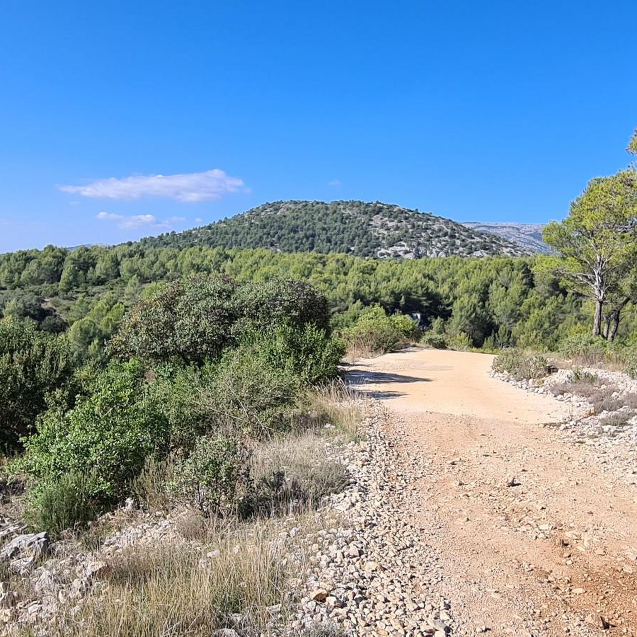
Jogging routes Signes offer a diverse environment for outdoor activities, set within the Var department of Provence-Alpes-Côte d'Azur. The region features a varied landscape, including mountainous terrain with significant peaks, extensive forests, and scrubland. These natural features create a range of challenging and scenic running routes suitable for different fitness levels.
Best jogging routes around Signes
- The most popular jogging route is Channel near the waterfall loop from Signes, a 13.4 miles (21.5 km) trail that takes 3 hours…
Last updated: June 24, 2026
81
runners
34.2km
04:47
1,280m
1,290m
Hard run. Very good fitness required. Mostly paved surfaces. Suitable for all skill levels.
26
runners
48.6km
07:08
2,220m
2,220m
Hard run. Very good fitness required. Mostly paved surfaces. Suitable for all skill levels.

Sign up for free
18
runners
10.7km
01:22
170m
170m
Moderate run. Good fitness required. Mostly paved surfaces. Suitable for all skill levels.
15
runners
30.1km
04:19
1,240m
1,240m
Hard run. Very good fitness required. Mostly paved surfaces. Suitable for all skill levels.
43
runners
35.8km
05:21
1,710m
1,710m
Hard run. Very good fitness required. Mostly paved surfaces. Suitable for all skill levels.
Get access to more routes and recommendations from other explorers.
Sign up for free
Already have an account?
Our route recommendations are based on thousands of hikes, rides, and runs completed by other people on komoot.
Start today with a free account
Your next adventure awaits.
Login or Signup
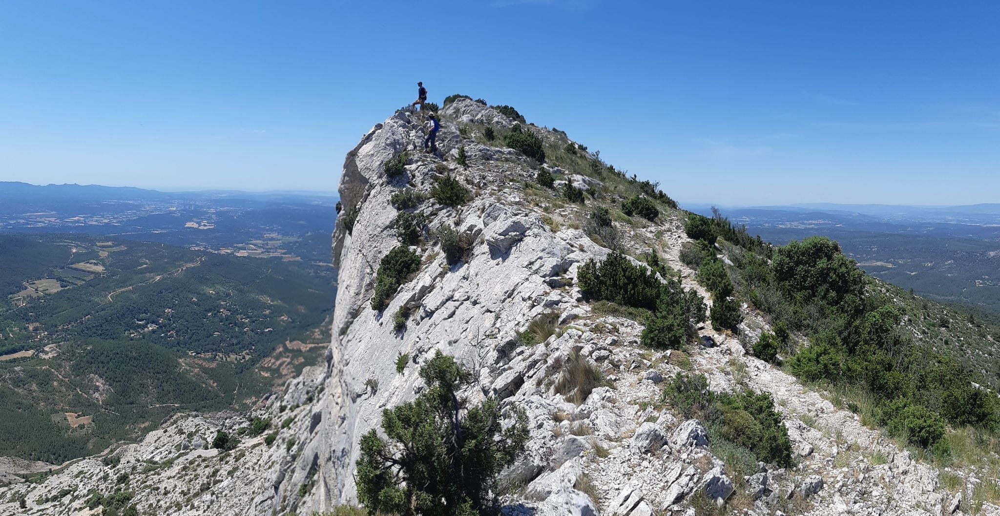
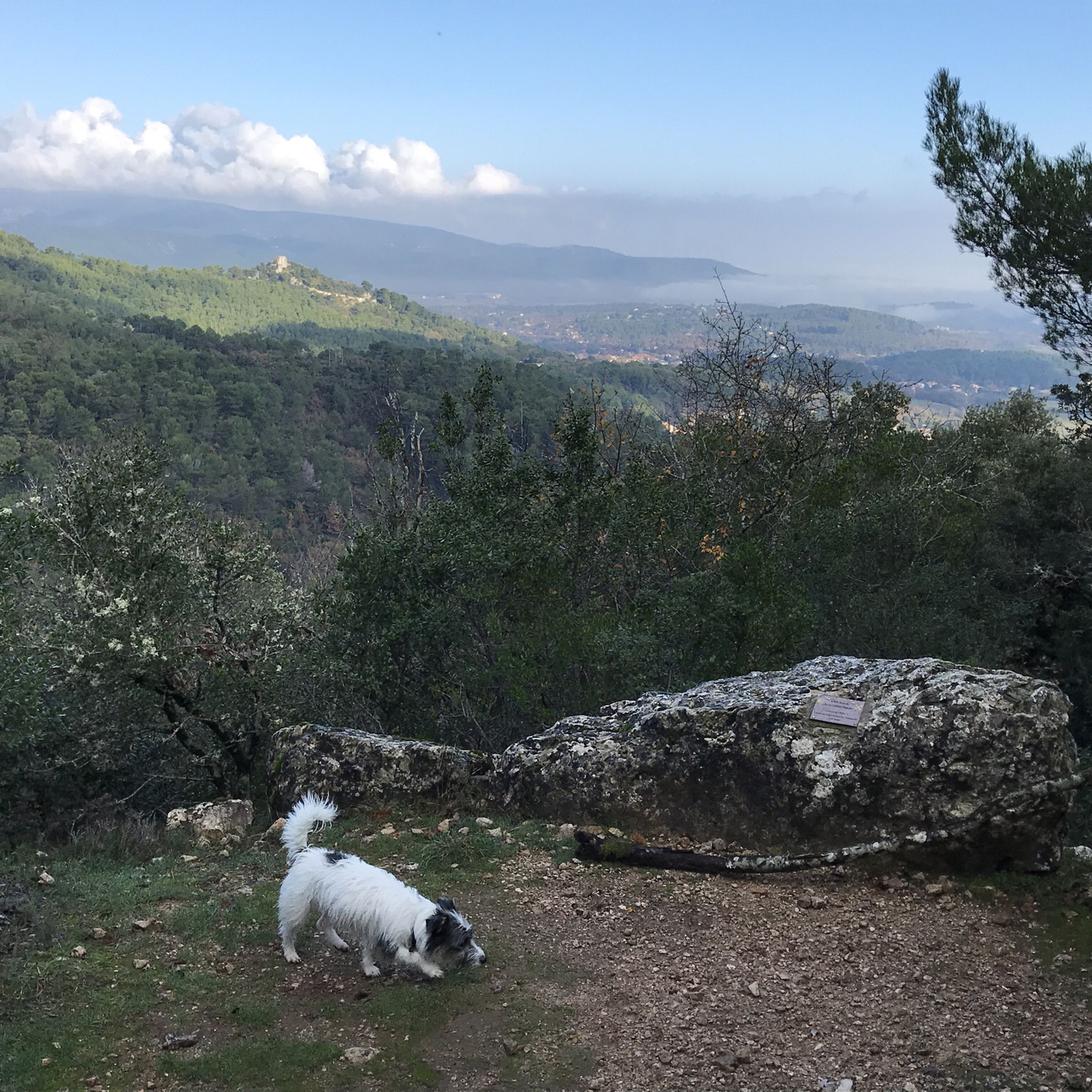
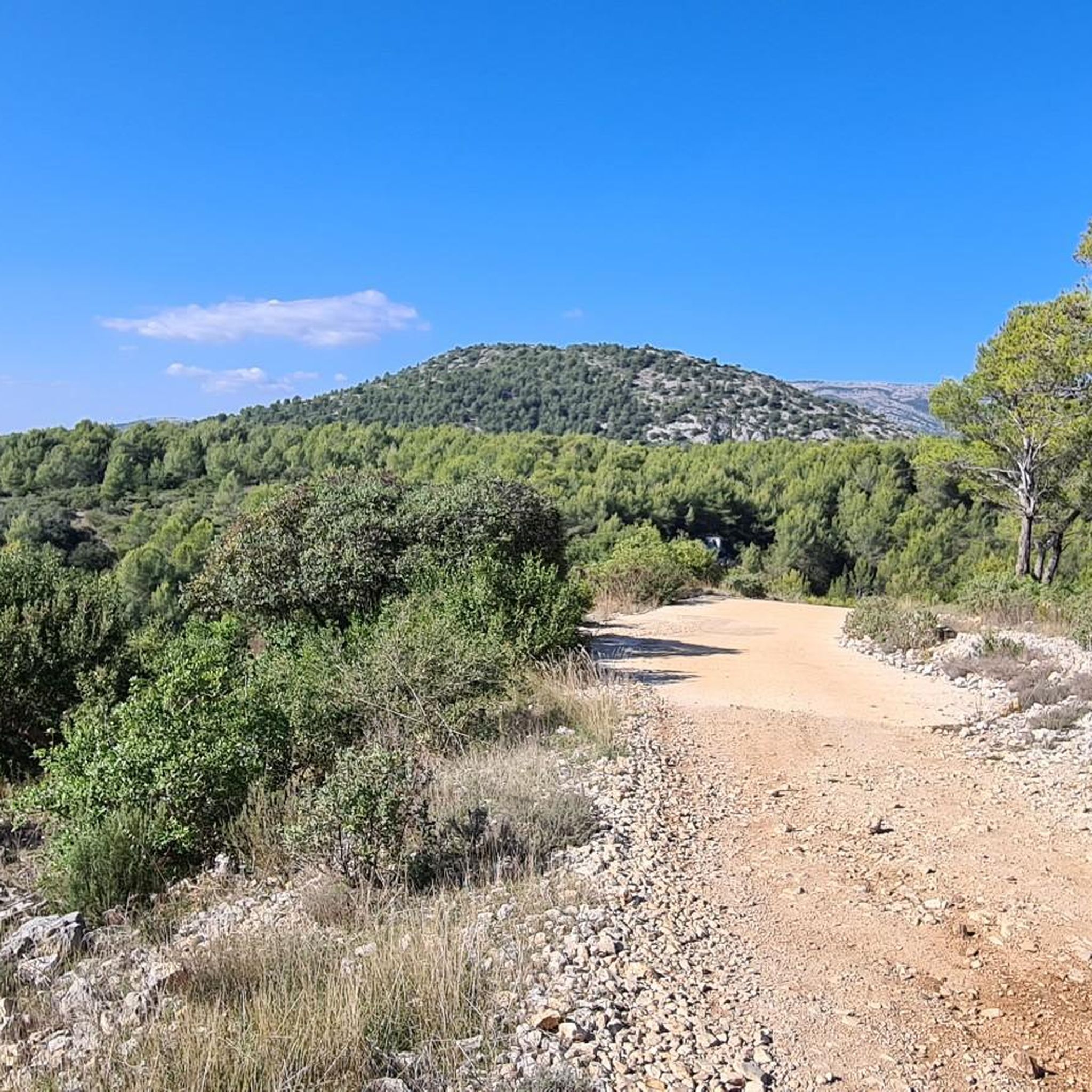

Other adventures around Signes

Tips from the Community

A marvel 🤩 of water even at the beginning of September
0
0

place of silence, peace and reconnection between nature and the church
0
0

The fork that leads from the Pic de l'Aigle to the hotel is dangerous in some places with steep passages requiring you to descend for about fifteen meters. Passages not recommended (black markings).
3
0

It's a great route where you can see the Southern Alps and the snow above have a great weekend everyone
0
0

If you still have the courage to go up there!..
0
0

Very cold but very refreshing. Swimming was very possible in June 2024
0
0


The Sainte-Marie-Madeleine cave is a splendour. The square allows you to observe the Sainte-Victoire mountain in the distance as well as the century-old boxwood forest just below. It is a place of contemplation frequented since the 5th century by the kings of France and simple pilgrims. It is one of the most sacred and ancient places of pilgrimage in France.
4
2
Frequently Asked Questions
How many running routes are available in Signes?
Signes offers a selection of over 10 running routes, catering to various preferences and fitness levels. These trails explore the diverse landscapes of the Var department, from challenging mountain paths to more moderate loops.
What kind of terrain can I expect on running trails around Signes?
The running trails around Signes feature a diverse landscape, including mountainous terrain with significant peaks like Sainte-Baume, extensive forests, and varied scrubland. You'll find routes with considerable elevation changes, offering both challenging ascents and scenic descents.
Are there any running routes in Signes that feature waterfalls?
Yes, you can find running routes that incorporate water features. For instance, the Latay Waterfall – Latay Spring loop from Chibron is a moderate 10.7 km route that takes you near the Latay Waterfall. The region research also mentions the Raby waterfall, suggesting other potential scenic routes along streams.
Can I find easy or moderate running routes in Signes?
While many routes in Signes are considered difficult due to the mountainous terrain, there are also moderate options available. For example, the Signes loop from Signes is a moderate 5.4 km trail, perfect for a quicker run through the local area. The Latay Waterfall – Latay Spring loop from Chibron is another moderate option.
Are there any scenic viewpoints or landmarks along the jogging routes?
Absolutely. The mountainous terrain around Signes provides numerous opportunities for breathtaking views. Routes like La Sainte-Baume and its ridges – Pas de l'aï loop from Signes offer extensive views across mountainous landscapes. You can also find highlights such as the View of the Sainte-Baume Massif or the Bertagne Peak, which can be incorporated into longer runs.
Are the running trails around Signes suitable for families?
For families, it's best to choose the shorter, moderate routes. The Signes loop from Signes, at 5.4 km, is a good option for a family jog. While the region is known for challenging trails, selecting routes with less elevation gain and shorter distances will make for a more enjoyable family experience.
Are dogs allowed on the jogging routes in Signes?
Generally, dogs are welcome on many trails in the Provence-Alpes-Côte d'Azur region, especially in natural areas like those around Signes. However, it's always recommended to keep them on a leash, particularly in forested areas or near wildlife, and to check for any specific local regulations or protected areas that might have restrictions.
What are the typical lengths of jogging routes in Signes?
The lengths of jogging routes in Signes vary significantly. You can find shorter loops like the Signes loop from Signes at 5.4 km, or moderate options such as the Latay Waterfall – Latay Spring loop from Chibron at 10.7 km. For more experienced runners, there are challenging long-distance routes, including the La Sainte-Baume and its ridges – Pas de l'aï loop from Signes, which spans over 47 km.
Where can I start my run in Signes?
Many of the running routes, including popular ones like the Signes loop and Signes – Eagle's Yoke loop, typically start directly from the village of Signes. The charming village itself, with its old houses and plane trees, makes for an appealing starting or ending point.
What is the best time of year to go jogging in Signes?
Signes offers good jogging conditions for much of the year. Spring and autumn provide pleasant temperatures, ideal for longer runs. During warmer summer months, the extensive forests and scrubland offer natural shade, making early mornings or late afternoons more comfortable. Winter can also be beautiful, but be prepared for cooler temperatures, especially at higher elevations.
Are there circular running routes available in Signes?
Yes, many of the running routes in Signes are designed as loops, allowing you to start and finish in the same location. Examples include the Channel near the waterfall loop from Signes, the La Sainte-Baume and its ridges – Pas de l'aï loop from Signes, and the Signes – Eagle's Yoke loop from Signes.
What do other runners say about the trails in Signes?
The running routes in Signes are highly rated by the komoot community, with an average score of 4.1 stars from over 80 reviews. Over 2500 runners have used komoot to explore the varied terrain, often praising the diverse landscapes, from challenging mountain paths to scenic forest trails.
Are there parking facilities available near the jogging routes in Signes?
Given that many routes start from the village of Signes, you can typically find parking within or on the outskirts of the village. For routes that begin further afield, designated parking areas are often available near trailheads, especially for popular hiking and running spots.
Most popular attractions around Signes

Get inspired with the komoot mobile app


Explore more
Browse the best Running Trails & Routes in other regions.
