The best gravel rides around Hiers-Brouage
4.0
(1)
39
riders
1
ride
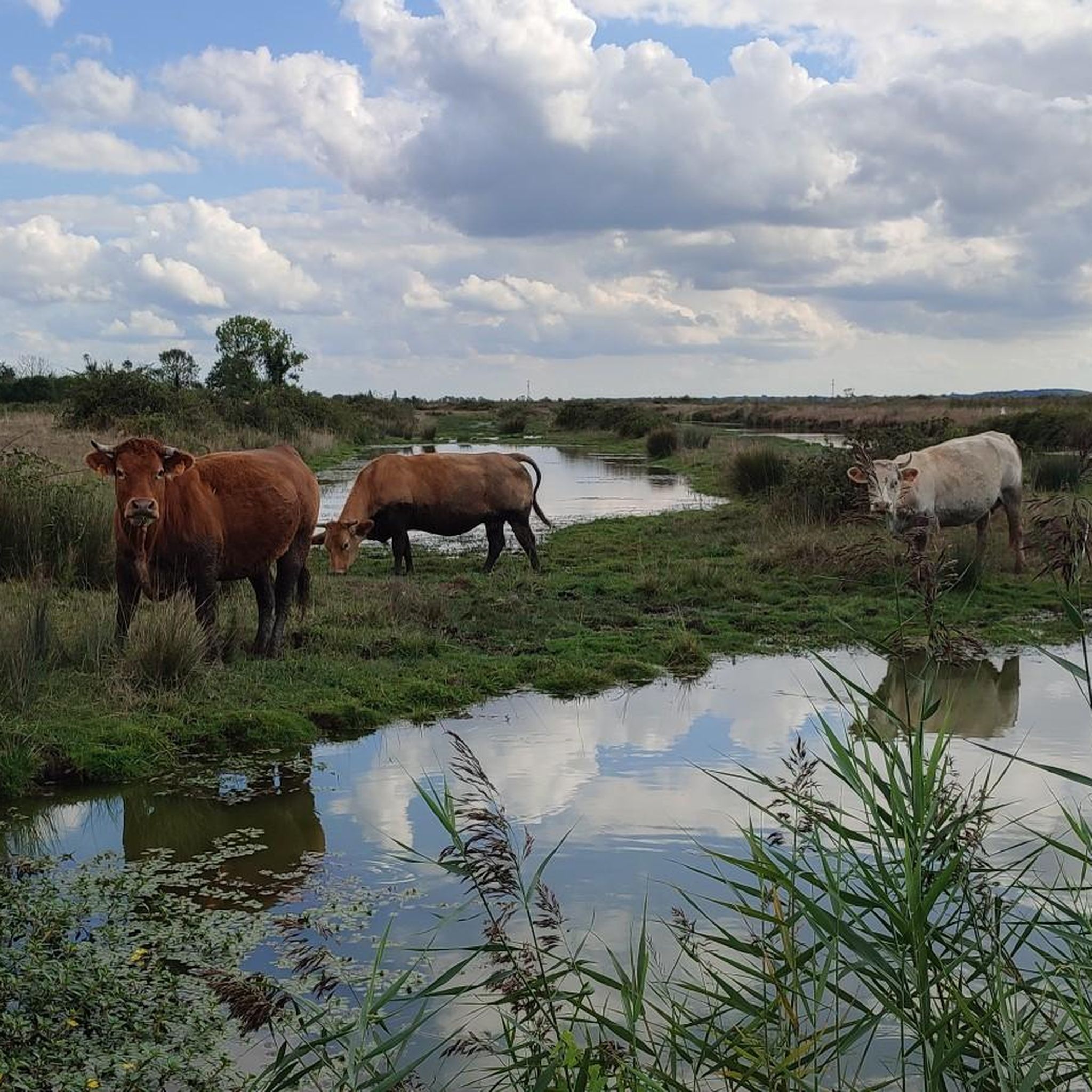
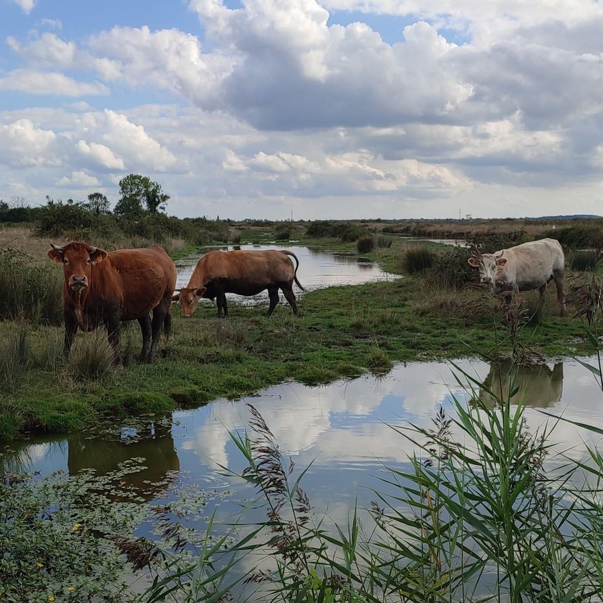
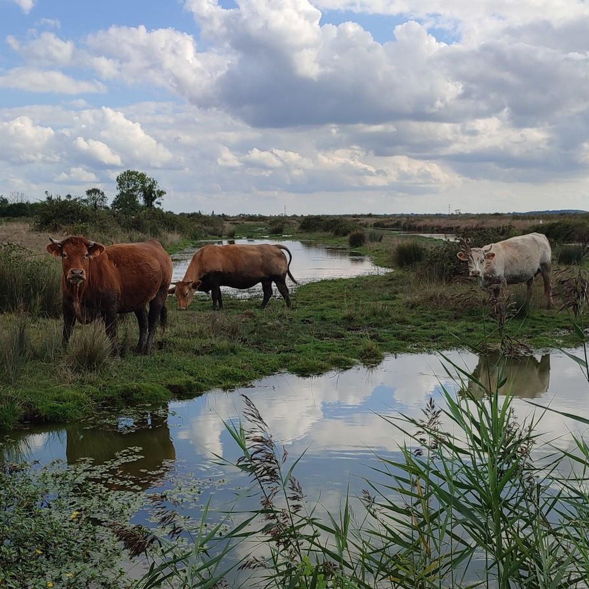
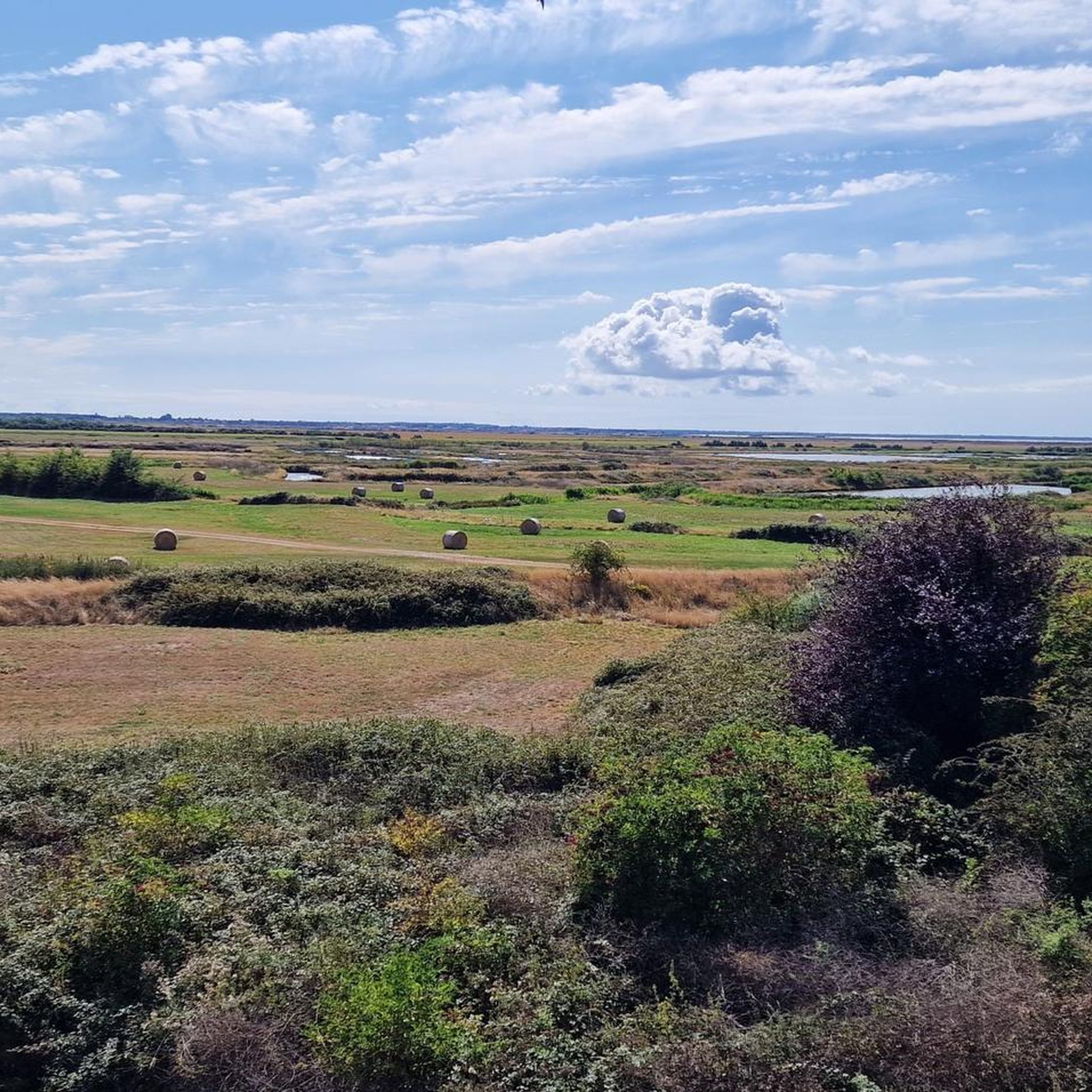
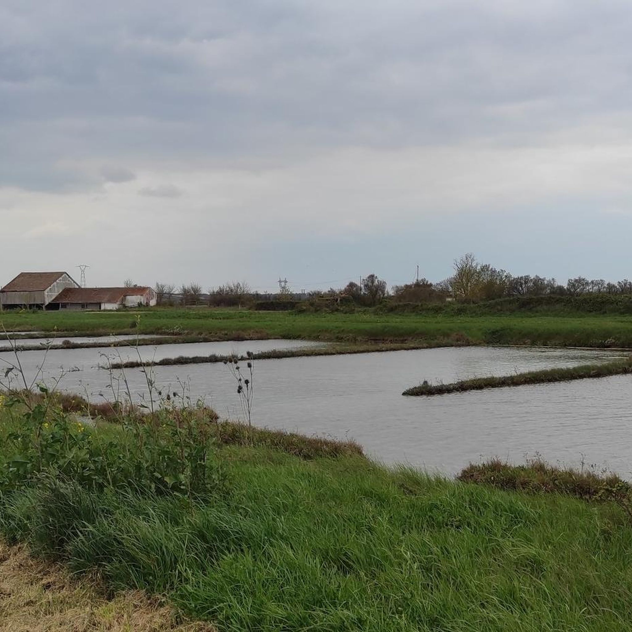
Gravel biking around Hiers-Brouage offers routes through expansive flat marshlands and historical landscapes in southwestern France. The region is characterized by over 3,000 hectares of marshlands, once salt pans, now a mosaic of wet meadows and canals. This terrain provides long, unobstructed routes with minimal elevation gain, suitable for various fitness levels. Near the coast, soil salinity supports salt meadows, adding to the varied natural features.
Best gravel bike trails around Hiers-Brouage
- The most popular gravel bike trail is GRAVEL…
Last updated: July 3, 2026
4.0
(1)
20
riders
Hard gravel ride. Good fitness required. You may need to push your bike for some segments of this route.
8
riders
Moderate gravel ride. Good fitness required. Mostly paved surfaces. Suitable for all skill levels.

Sign up for free
1
riders
Moderate gravel ride. Good fitness required. Mostly paved surfaces. Suitable for all skill levels.
6
riders
Easy gravel ride. Great for any fitness level. Mostly paved surfaces. Suitable for all skill levels.
2
riders
57.4km
03:11
190m
190m
Moderate gravel ride. Good fitness required. Mostly paved surfaces. Suitable for all skill levels.
Our route recommendations are based on thousands of hikes, rides, and runs completed by other people on komoot.
Start today with a free account
Your next adventure awaits.
Login or Signup
Tips from the Community

The carrelets of Saint-Palais-sur-Mer are among the most emblematic elements of the Charente coastline. Their history blends traditional fishing, tourist development, and local heritage. 🐟 Origin of the carrelets Originally, the word "carrelet" referred to a square fishing net used since the 17th century. A precise description can be found as early as 1769, in the writings of the scholar Henri-Louis Duhamel du Monceau, who mentioned this type of fishing on the Saintonge coast. 👉 At that time, these were not yet the current huts, but simply a net operated from rudimentary structures. ⚓ Artisanal fishing structures The first local carrelets were simple wooden platforms, built by the fishermen themselves to stand above the water. They were mainly used to catch shrimp, fish, and crabs near the shore, without going out to sea. 👉 It was a family and coastal fishery, less dangerous than sea fishing. 🏖️ 19th – early 20th century: transition to a leisure activity At the turn of the 20th century, with the rise of seaside resorts like Saint-Palais, the carrelets evolved. Holidaymakers and notable figures adopted this practice: construction of fixed jetties, appearance of huts on stilts. The carrelets then became places for relaxation as much as for fishing. 👉 They already contributed to the postcard image of the coast. 🪵 After 1945: democratization and multiplication After the Second World War, the number of carrelets increased sharply. They became a symbol of popular leisure and conviviality. The transition was gradually made from a means of subsistence to a recreational activity. 🌊 Storms and reconstruction The carrelets are fragile in the face of storms: 1999: massive destruction (up to 90% in some areas) 2010 (Xynthia storm): new damage Many have been rebuilt identically, respecting tradition. 🏛️ Today: protected heritage In Charente-Maritime, there are about 400 carrelets. They are: integrated into the public maritime domain allocated by administrative authorization (often renewed every 5 years) Since 2018, they have been recognized as cultural heritage of the department. 👉 In Saint-Palais, they can be observed in particular: at Pont du Diable at the conche du Concié at the Puits de l’Auture
0
0
📍 Introducing the Gilet Cove The Gilet Cove is a small, natural beach on the oceanfront, located on Boulevard de la Conche de Gilet / Boulevard de la Falaise, in the town of Vaux-sur-Mer, just before Royan. 🌿 It's a sheltered, rocky cove, appreciated for its tranquility and more intimate setting compared to the larger urban beaches nearby. 🏖️ At high tide, the sea can completely cover this small beach, making the space very limited; at low tide, you can enjoy a patch of sand and rocks for relaxing or swimming. 🧭 Features & Tips 📍 Type of place: small, unsupervised beach, nestled among the rocks with sand and cliffs. 🏖️ Tides: access is best at low tide — at high tide the beach can disappear underwater. 🐶 Animals: prohibited from April 1st to September 30th (subject to municipal regulations). 👣 Access: via stairs from the boulevard above, surrounded by villas with sea views. 🚫 Lifeguard services: no lifeguard station or marked services. 📍 Location La Conche de Gilet is often considered the last small beach in Vaux-sur-Mer before reaching Royan/Pontaillac when following the coastline from Saint-Palais-sur-Mer.
0
0


A beautiful trail with pine scents. A real treat.
0
0

The tides are constantly changing the landscape.
0
0
Splendid beaches all along this magnificent route.
0
0

The walk was so beautiful
0
0
Frequently Asked Questions
How many gravel bike trails are available in Hiers-Brouage?
Hiers-Brouage offers a selection of over 20 gravel bike trails, catering to various preferences and skill levels. These include 5 easy routes, 13 moderate, and 2 more challenging options.
What kind of terrain can I expect on gravel bike trails in Hiers-Brouage?
The gravel bike trails in Hiers-Brouage are predominantly flat, traversing extensive marshlands, wet meadows, and canals. You'll find mostly paved surfaces and rural trails through grasslands and traditional villages, offering routes with minimal elevation gain. The unique marsh landscape, a Natura 2000 site, provides a distinct cycling experience.
Are there any family-friendly gravel bike routes in Hiers-Brouage?
Yes, the flat terrain and mostly paved surfaces of Hiers-Brouage make many routes suitable for families. The minimal elevation gain ensures a comfortable ride for all fitness levels. While specific 'family-friendly' routes aren't explicitly named, the general characteristics of the area's trails are ideal for a relaxed family outing.
What historical landmarks or natural features can I see along the gravel bike trails?
You can explore a rich blend of history and nature. The iconic Brouage Citadel, a star-shaped fortified city, is a must-see. Further afield, the historic Rochefort Transporter Bridge offers a unique sight. The trails also wind through the expansive marshlands, a Natura 2000 site, where you can spot diverse birdlife and vibrant flora like yellow irises and white storks in spring.
What do other gravel bikers enjoy most about cycling in Hiers-Brouage?
The komoot community highly rates gravel biking in Hiers-Brouage, with an average score of 4.5 stars from over 30 reviews. Cyclists often praise the peaceful, flat routes through the unique marshlands, the historical sights like the Brouage Citadel, and the opportunity for long, unobstructed rides.
Are there any circular gravel bike routes in the area?
Yes, many of the gravel bike routes in Hiers-Brouage are designed as loops, allowing you to start and end at the same point. For instance, the Chemin de la Charente – Rochefort Transporter Bridge loop from Hiers and the Rochefort Transporter Bridge – Marais de Brouage loop from Bourcefranc-le-Chapus are popular circular options.
Is it possible to bring my dog on the gravel bike trails?
While many outdoor areas in France are dog-friendly, specific regulations for dogs on gravel bike trails in Hiers-Brouage's marshlands (a Natura 2000 site) may apply. It's always best to keep dogs on a leash to protect local wildlife and ensure a pleasant experience for everyone. Check local signage for any specific restrictions.
Where can I park my car when visiting the gravel bike trails?
Parking is generally available at key points of interest and trailheads. For example, you can often find parking near the Brouage Citadel, which serves as a good starting point for many routes into the marshlands. Other villages and towns along the routes, such as Hiers or Bourcefranc-le-Chapus, also offer parking facilities.
What is the best time of year for gravel biking in Hiers-Brouage?
Spring and autumn are generally the best times for gravel biking in Hiers-Brouage. In spring, the marshlands burst with yellow irises and you might spot white storks. Autumn offers pleasant temperatures and beautiful colors. Summers can be warm, while winters are generally mild but may bring wetter conditions to the marsh trails.
Are there any cafes or places to eat along the gravel bike routes?
While the marshlands themselves are largely undeveloped, you'll find cafes, restaurants, and small shops in the villages and towns bordering the trails. The historic Brouage Citadel, for example, has amenities within its walls. Planning your route to pass through these settlements will ensure opportunities for refreshments.
What is the longest gravel bike route in Hiers-Brouage?
One of the longer routes available is the Rochefort Transporter Bridge – The Transporter Bridge loop from La Gripperie-Saint-Symphorien, which spans approximately 83.4 miles (134.2 km). This route is considered difficult due to its length and takes around 8 hours and 40 minutes to complete.
Can I access the gravel bike trails using public transport?
Public transport options in the immediate vicinity of Hiers-Brouage are limited, especially for carrying bikes. While some regional bus services operate in Charente-Maritime, their bike-carrying capacity varies. It's advisable to check specific routes and schedules with local transport providers if you plan to rely on public transport for access.
Most popular routes around Hiers-Brouage
Most popular attractions around Hiers-Brouage

Get inspired with the komoot mobile app


Explore more
Browse the best Gravel rides in other regions.
