The best walks and hikes around Hiers-Brouage
4.5
(472)
3,599
hikers
137
hikes
Hiking around Hiers-Brouage offers routes through a historically significant fortified area, characterized by flat coastal plains and marshlands. The terrain features minimal elevation changes, making it accessible for various activity levels. Trails often follow ancient walls and pathways, providing views of the surrounding landscape. The region's geography is defined by its proximity to the Atlantic coast and its historical fortifications.
Best hiking trails around Hiers-Brouage
- The most popular hiking route is Porte Royal – Spaziergang auf der Stadtmauer loop from…
Last updated: July 1, 2026
4.8
(9)
128
hikers
4.49km
01:08
10m
10m
Easy hike. Great for any fitness level. Easily-accessible paths. Suitable for all skill levels.
3.6
(5)
34
hikers
10.4km
02:38
20m
20m
Moderate hike. Good fitness required. Easily-accessible paths. Suitable for all skill levels.

Sign up for free
5.0
(1)
16
hikers
1.85km
00:28
0m
0m
Easy hike. Great for any fitness level. Easily-accessible paths. Suitable for all skill levels.
5.0
(1)
4
hikers
15.6km
03:55
10m
10m
Moderate hike. Good fitness required. Easily-accessible paths. Suitable for all skill levels.
5.0
(5)
14
hikers
10.0km
02:33
30m
30m
Moderate hike. Good fitness required. Easily-accessible paths. Suitable for all skill levels.
Get access to more routes and recommendations from other explorers.
Sign up for free
Already have an account?
Our route recommendations are based on thousands of hikes, rides, and runs completed by other people on komoot.
Start today with a free account
Your next adventure awaits.
Login or Signup
Tips from the Community

fortified village, former port of departure for the Americas, today it is located approximately 1.5km from the shore...
0
0

The city gate facing north or Rochfort. Here, for example, the climb up to the city wall.
1
0

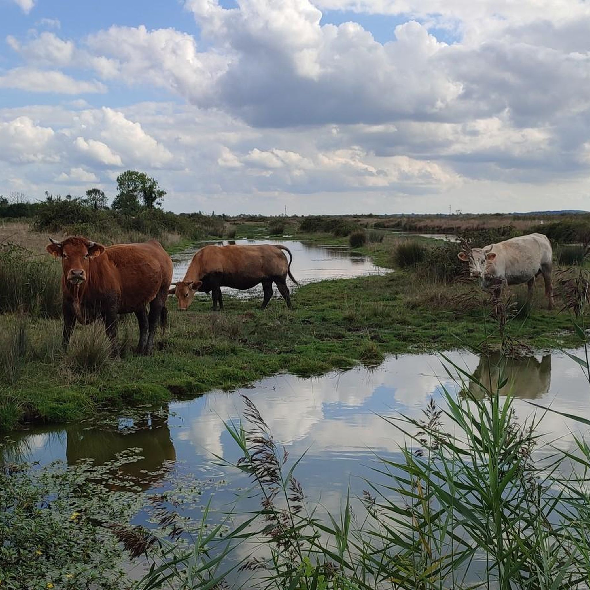
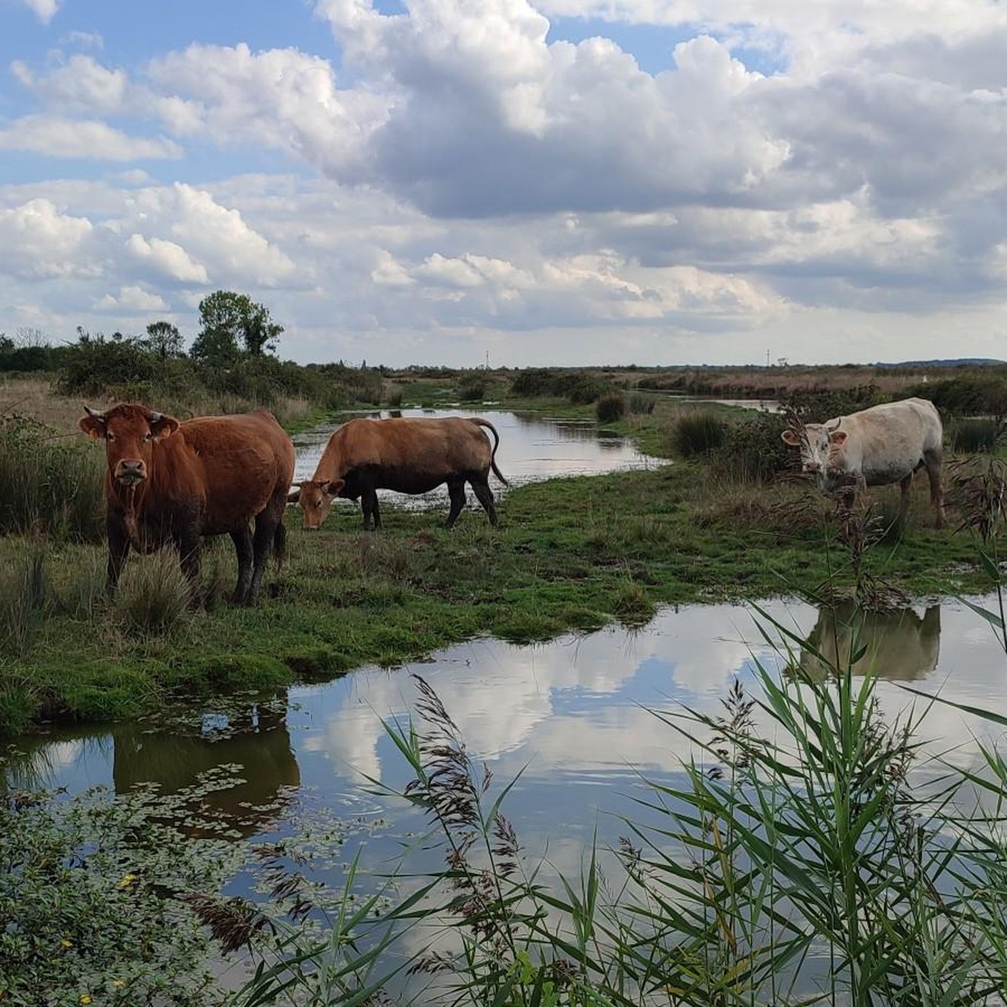
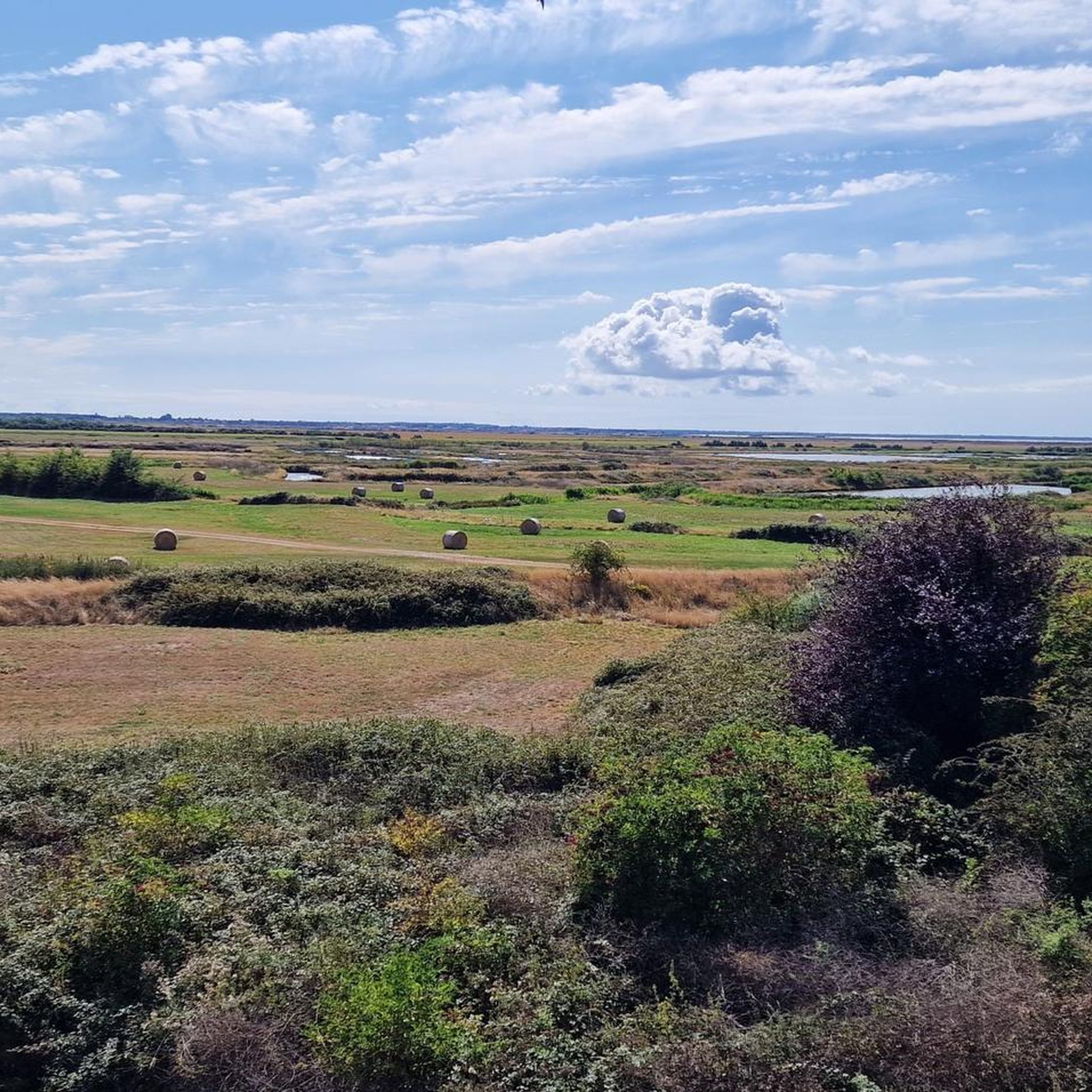
Right in the middle of the Poitou-Charente marshes, the pretty village of Brouage enhances the landscape with its 16th century fortifications.
0
0

More information can be found here: https://meinfrance.com/brouage-schoenste-doerfer-zitadelle/
0
1

The stronghold of Brouage is a former salt trading port named Jacopolis-sur-Brouage, which became a Catholic war port wanted by Cardinal Richelieu who named it Brouage in 1627 to compete with the Huguenot stronghold of La Rochelle. Brouage is also considered to be perhaps the birthplace of the geographer Samuel de Champlain who participated in the founding and colonization of New France, and who is the founder of the city of Quebec in Canada. A military port on the edge of the Atlantic Ocean until the beginning of the 18th century, the town is today inland and surrounded by marshes. Attention: inside the citadel the streets are almost exclusively paved.
2
0

One could also leave the city by other passages: two posterns, the curtain of the sea, two underground ports in the sides of the bastions of La Brèche and Hiers for navigation by boat in the ditches. There are two powder magazines, that of François d'Espinay de Saint-Luc with four flying buttresses contained 30 tons of powder, that of La Brèche, built by Vauban in 1692, contained 20 tons.
0
1
The walled city's busiest gate connects to the civilian city through which it was originally founded. The Hiers gate was almost completely demolished and was protected by advanced works.
0
1
The Saint-Pierre-et-Saint-Paul church was opened for worship in 1608, the year of the founding of Quebec. From an architectural point of view, it is a transitional building between the Gothic style and the Renaissance style. The bell tower and part of the facade were rebuilt at the end of the 18th century after a storm caused damage to this part of the building in 1731. Thus, the portal is tinged with classical influences, which are expressed by the presence of pilasters and a triangular pediment. Inside, stained glass windows depict episodes from the founding of New France. One of them depicts the founding of the city of Quebec, while another, offered by New Brunswick, represents the post of Sainte-Croix Island, founded in 1604 by Pierre Dugua de Mons. Finally, another glass roof evokes the founding of Jacopolis on Brouage in 1555. The Saint-Pierre-et-Saint-Vincent church is decorated with stained glass windows testifying to the ties of friendship that unite France and Quebec. Six of the nine stained glass windows are the work of the artist Nicolas Sollogoub. The church also houses an 18th century Virgin, an ex-voto representing a ship from the early 20th century, as well as the tomb of the former governor of Place de Brouage, Claude d'Assigné, Marquis de Carnavalet, who died on September 10, 1685. https://fr.wikipedia.org/wiki/Hiers-Brouage#Patrimoine_architectural
0
1
Frequently Asked Questions
How many hiking trails are there in Hiers-Brouage?
Hiers-Brouage offers a wide selection of hiking opportunities, with over 120 routes available. These range from easy strolls to more moderate excursions, catering to various preferences.
Are there easy hikes suitable for beginners or families with children?
Yes, Hiers-Brouage is very welcoming for beginners and families, with 67 easy routes. A great option is the Porte d'Hiers – Brouage Citadel loop from Hiers, which is an easy 1.6 miles (2.6 km) path exploring the historic citadel.
What kind of terrain can I expect on the hiking trails in Hiers-Brouage?
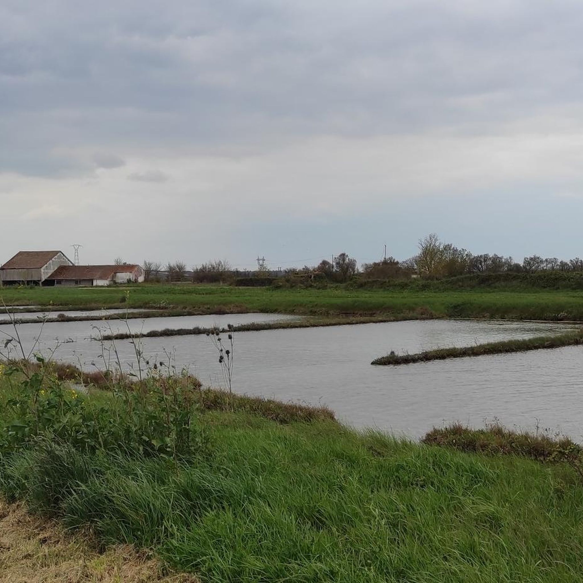
The terrain around Hiers-Brouage is characterized by flat coastal plains and marshlands, with minimal elevation changes. Trails often follow ancient walls and pathways, offering views of the surrounding landscape and historical fortifications.
Are there any circular routes available?
Many of the trails in Hiers-Brouage are circular, allowing you to start and end at the same point. For example, the popular Porte Royal – Spaziergang auf der Stadtmauer loop from Hiers is a 3.0-mile (4.8 km) loop along the historic city walls.
What is the best time of year to hike in Hiers-Brouage?
Spring and autumn are generally ideal for hiking in Hiers-Brouage, offering pleasant temperatures and fewer crowds. Summer can be warm, but the coastal breeze often provides relief. Winter hikes are also possible, though some paths might be muddy after rain.
Are dogs allowed on the hiking trails?
Generally, dogs are welcome on trails in Hiers-Brouage, especially if kept on a leash. It's always a good idea to carry water for your pet and check for any specific local signage regarding dog access, particularly in nature reserves or protected areas.
What historical sites or viewpoints can I see along the trails?
The region is rich in history. You can explore the impressive Brouage Citadel, a well-preserved 17th-century fortification. Other nearby attractions include the Rochefort Transporter Bridge and the Château-d'Oléron Citadel, offering unique insights into the area's heritage.
Are there options for longer or more challenging hikes?
While many routes are easy, there are options for longer walks. The Brouage Citadel – Hiers loop from Hiers is a moderate 6.5-mile (10.4 km) trail that takes about 2 hours 38 minutes, leading through the historical citadel and surrounding areas.
What do other hikers enjoy most about hiking in Hiers-Brouage?
The area is highly rated by the komoot community, with an average score of 4.6 stars from over 400 reviews. Hikers often praise the historical atmosphere, the flat and accessible paths, and the unique views of the marshlands and fortifications.
Where can I find parking for the hiking trails?
Parking is generally available at key access points, particularly near the Brouage Citadel and the main entrances to the fortified town. Look for designated parking areas within or just outside the historical center.
Are there any trails that pass by cafes or places to eat?
Many trails, especially those within or close to the Brouage Citadel, will bring you near local cafes and restaurants where you can enjoy a break and refreshments. The fortified town itself offers several options for dining.
What should I wear for hiking in Hiers-Brouage?
Given the flat terrain, comfortable walking shoes are usually sufficient. Layers are recommended due to the coastal weather, which can change quickly. A hat and sunscreen are advisable in warmer months, and a waterproof jacket is useful year-round.
Most popular routes around Hiers-Brouage
Most popular attractions around Hiers-Brouage

Get inspired with the komoot mobile app


Explore more
Browse the best Hikes in other regions.
