The best gravel rides around Tentelingen
4.5
(19)
225
riders
36
rides
Gravel biking around Tentelingen offers a diverse landscape characterized by rolling hills, dense forests, and a tranquil rural setting. The region, situated on a plateau, provides varied terrain suitable for gravel cyclists seeking both ascents and shaded paths. Its geography includes natural features like the Tenteling Marsh and quieter agricultural roads, creating an engaging environment for exploration.
Best gravel bike trails around Tentelingen
- The most popular gravel bike trail is Mine Wendel – La Mine, Carreau Wendel loop from Hanweiler…
Last updated: November 3, 2026
3.5
(2)
15
riders
76.1km
04:27
790m
790m
Hard gravel ride. Very good fitness required. Mostly paved surfaces.
15
riders
84.9km
05:31
690m
690m
Hard gravel ride. Very good fitness required. Mostly paved surfaces.

8
riders
46.3km
03:15
430m
430m
Hard gravel ride. Good fitness required. You may need to push your bike for some segments of this route.
6
riders
80.1km
05:01
860m
860m
Hard gravel ride. Very good fitness required. You may need to push your bike for some segments of this route.
12
riders
45.4km
03:00
390m
390m
Moderate gravel ride. Good fitness required. Mostly paved surfaces.
Get access to more routes and recommendations from other explorers.
Already have an account?
Our route recommendations are based on thousands of hikes, rides, and runs completed by other people on komoot.
Start today with a free account
Your next adventure awaits.

Tips from the Community

The circuit is easy. I did it with an e-MTB.
0
0

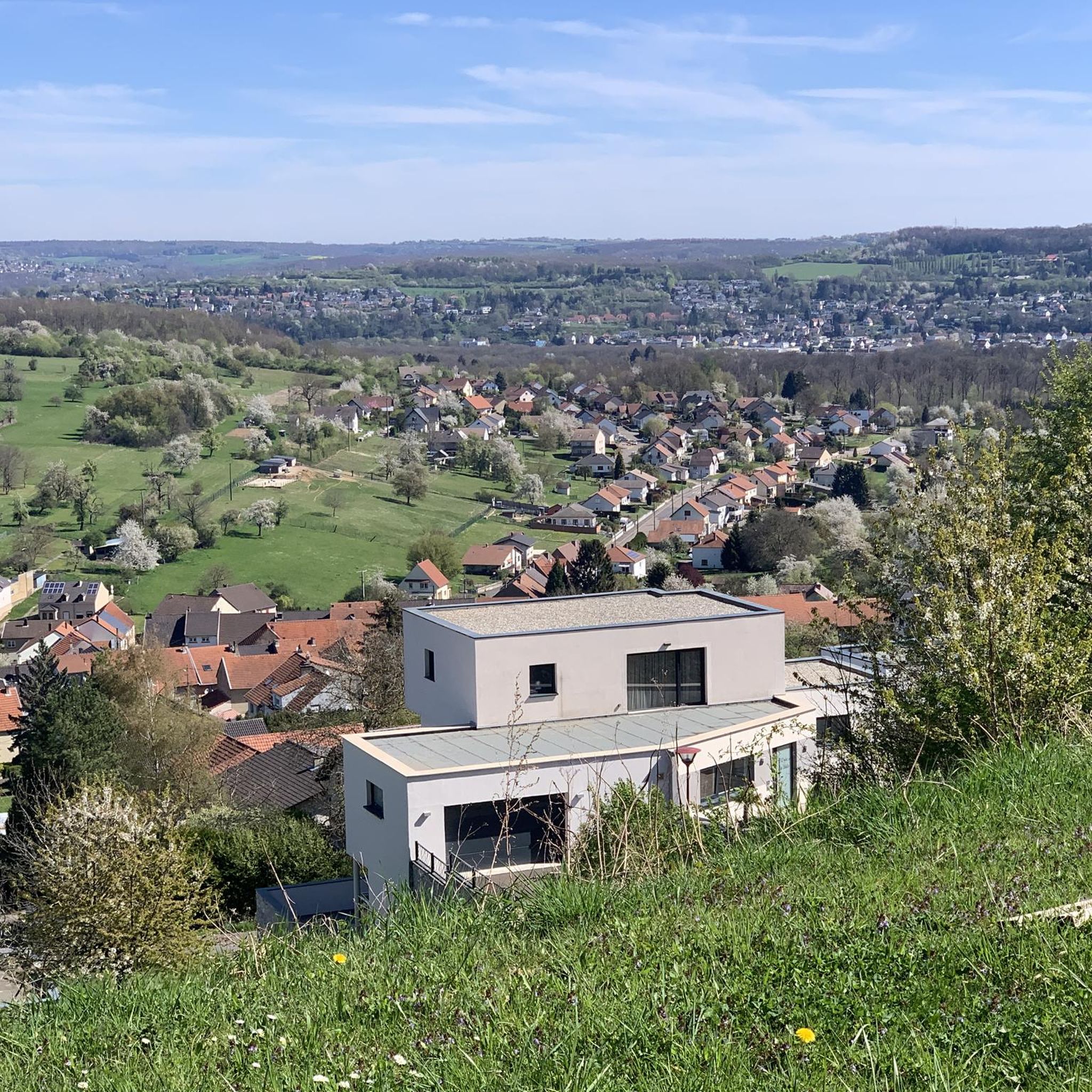
Viewpoint from one of the many bunkers along the Marginot Line. On a clear day, the view from here is fantastic, stretching all the way to the nearby Vosges Mountains. Even the Donon and Dabo peaks are easily visible to the naked eye. This shady spot with its bench is also perfect for a short break.
0
0

This reddish-brown wooden bridge safely crosses the Blies River and connects the hiking trails on both sides of the border. Surrounded by lush greenery, it offers an idyllic view of the river and invites you to pause for a moment. 💡 Tip: Pause for a moment in the middle of the bridge – from here, you can often spot ducks, fish, or even the shy kingfisher.
2
0

The Blies is the dominant river here and the bridge leads from D to Frk and back and connects.
1
0

Information about the Kleinblittersdorf municipal forest
0
0

A very beautiful renaturalized pit or quarry. A cool gateway for cyclists.
0
0


The Hoste Bas pond borders the Hoste Haut pond. It was part of the Maginot Line defense system. Today, they are home to numerous species of fish, much to the delight of anglers.
0
1
Frequently Asked Questions
How many gravel bike trails are available around Tentelingen?
There are nearly 70 gravel bike trails around Tentelingen, offering a wide range of options for different skill levels. The komoot community has explored these routes over 300 times, providing an average rating of 4.5 stars.
What kind of terrain can I expect on gravel bike trails in Tentelingen?
The terrain around Tentelingen is characterized by rolling hills, dense forests, and quiet rural roads, providing a varied and engaging environment for gravel cyclists. You'll encounter both ascents and shaded paths through woodlands, with a significant portion of non-wooded areas dedicated to agriculture.
Are there any family-friendly gravel bike routes in the Tentelingen area?
While many routes feature moderate to difficult sections, the region's rural setting and quieter paths can be suitable for families with some cycling experience. For a less strenuous option, consider routes that follow flatter sections along rivers or ponds, though specific 'easy' rated gravel routes are limited. Always check the route details for elevation and surface before heading out with family.
What are some notable natural attractions or landmarks I can see along the gravel bike trails?
You can explore several interesting natural and man-made features. The Panoramic Platform at Barrois Quarry offers great views, and you might encounter the Mühlenwald Pond or Nikolausweiher. The Tenteling Marsh, a protected wetland area, is also a significant natural feature in the region, offering serene beauty.
Are there any circular gravel bike routes around Tentelingen?
Yes, many of the gravel routes in the area are designed as loops. For example, the Welschhof Pond – Saar River at Saargemünd (Sarreguemines) loop from Hundling is a moderate 43 km circular path, offering a mix of pond-side and riverside scenery. Another option is the Lock on the Saar – Saar Cycle Route loop from Etzling, a moderate 21.3 km route.
What is the best time of year for gravel biking in Tentelingen?
The region's rolling hills and forested environment are enjoyable throughout the warmer months, typically from spring to autumn. During these seasons, you'll find pleasant temperatures and lush scenery. Winter riding is possible, but be prepared for potentially muddy or icy conditions, especially on unpaved forest paths.
What do other gravel bikers enjoy most about the trails in Tentelingen?
The area is highly rated by the komoot community, with an average score of 4.5 stars from over 36 reviews. Reviewers often praise the diverse landscape, combining rolling hills and dense forests, as well as the tranquil rural setting that allows for a peaceful riding experience away from heavy traffic.
Are there options for long-distance gravel biking in Tentelingen?
Absolutely. For those seeking a longer challenge, the Dragonerweg – Southern Bliesgau loop from Hundling is a substantial 75.6 km trail that leads through the scenic Bliesgau region. Another long option is the Sarralbe Town Centre – Étang d hirchbach loop from Farschviller, which covers 84.8 km.
What are the difficulty levels of gravel bike trails in Tentelingen?
The trails around Tentelingen offer a range of difficulty, with 29 moderate and 39 difficult routes. Only one route is classified as easy. This means most routes will involve significant elevation changes and varied surfaces, suitable for riders with some experience. Always check the specific route details before you go.
Are there any gravel bike trails that follow rivers or bodies of water?
Yes, several routes incorporate riverside or pond-side scenery. The Saar Cycle Path – Lock on the Saar loop from Grosbliederstroff follows the scenic Saar river for 30 km. Another great option is the Welschhof Pond – Saar River at Saargemünd (Sarreguemines) loop from Hundling, which features both pond and river views.
Is Tentelingen a good area for advanced gravel bikers?
Yes, Tentelingen is well-suited for advanced gravel bikers, with 39 out of 69 routes classified as difficult. These trails often feature significant elevation gains and longer distances, such as the 75.6 km Dragonerweg – Southern Bliesgau loop from Hundling, providing a challenging experience through varied terrain.
Most popular routes around Tentelingen
Most popular attractions around Tentelingen

Get inspired with the komoot mobile app


Explore more
Browse the best Gravel rides in other regions.
