The best cycling routes around Tentelingen
4.5
(2337)
12,837
riders
337
rides
Touring cycling routes around Tentelingen are situated in the Moselle department of the Grand Est region in north-eastern France, characterized by diverse landscapes. The area features hills, valleys, and expansive forests, including the Eckwald forest, alongside numerous ponds and bodies of water. The region also encompasses wetlands such as the Tenteling Marsh, a Sensitive Natural Area known for its ecological diversity. The terrain is generally accessible, with segments of the Moselle Cycle Path offering mostly flat routes through the scenic…
Last updated: July 5, 2026
5.0
(4)
18
riders
32.5km
02:15
300m
300m
Moderate bike ride. Good fitness required. Mostly paved surfaces. Suitable for all skill levels.
15
riders
42.9km
02:59
410m
410m
Moderate bike ride. Good fitness required. Mostly paved surfaces. Suitable for all skill levels.

Sign up for free
15
riders
29.4km
02:46
520m
520m
Hard bike ride. Very good fitness required. You may need to push your bike for some segments of this route.
14
riders
39.3km
03:41
740m
740m
Hard bike ride. Very good fitness required. You may need to push your bike for some segments of this route.
4.3
(3)
21
riders
34.4km
02:25
400m
400m
Hard bike ride. Good fitness required. You may need to push your bike for some segments of this route.
Get access to more routes and recommendations from other explorers.
Sign up for free
Already have an account?
Our route recommendations are based on thousands of hikes, rides, and runs completed by other people on komoot.
Start today with a free account
Your next adventure awaits.
Login or Signup
Tips from the Community

The Hoste Bas pond borders the Hoste Haut pond. It was part of the Maginot Line defense system. Today, they are home to numerous species of fish, much to the delight of anglers.
0
1
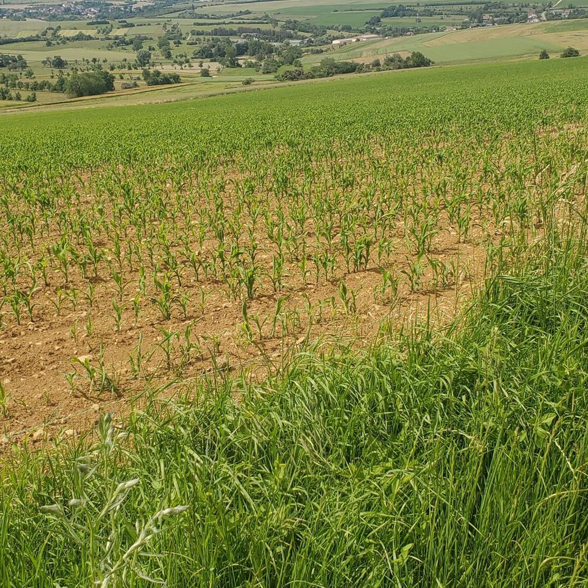
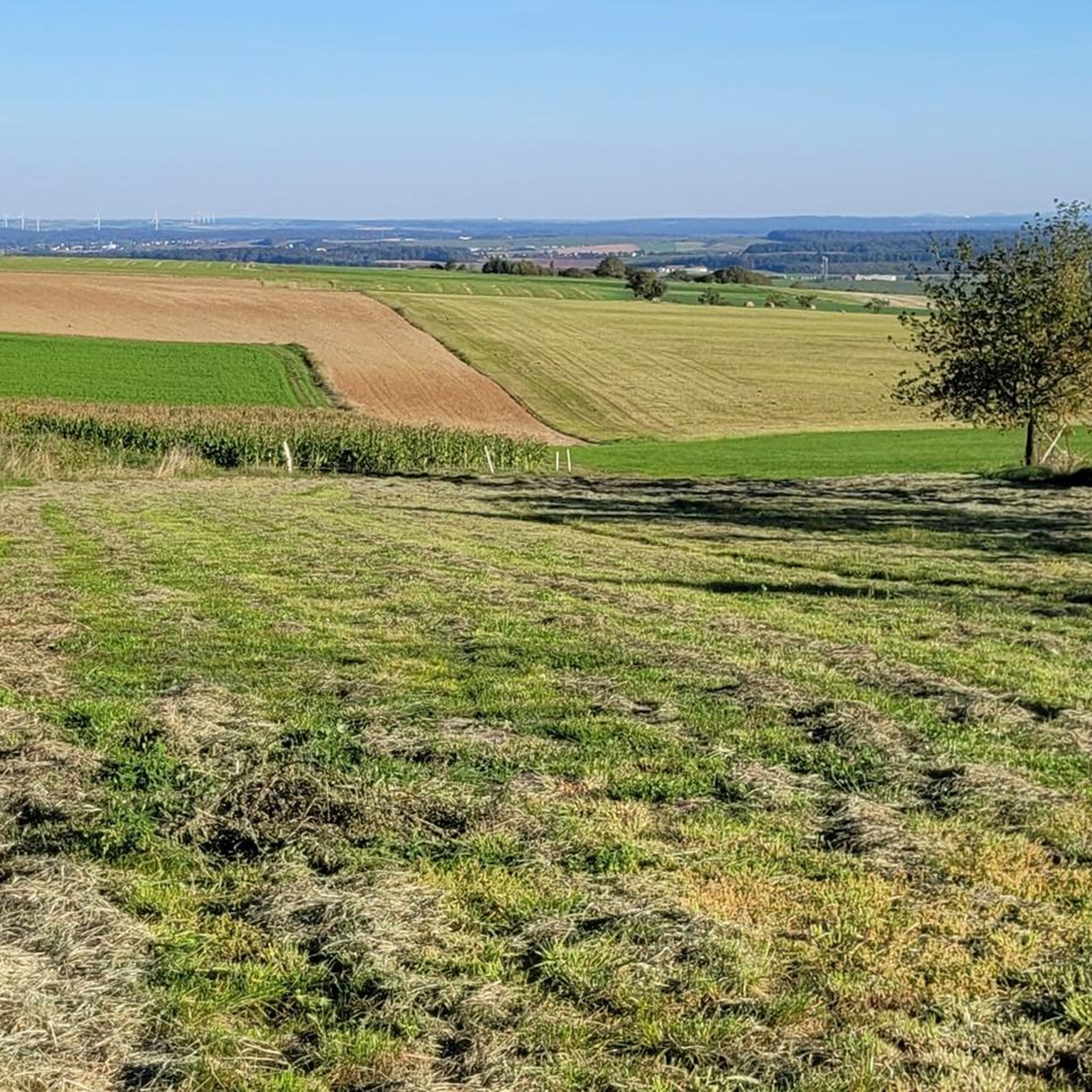
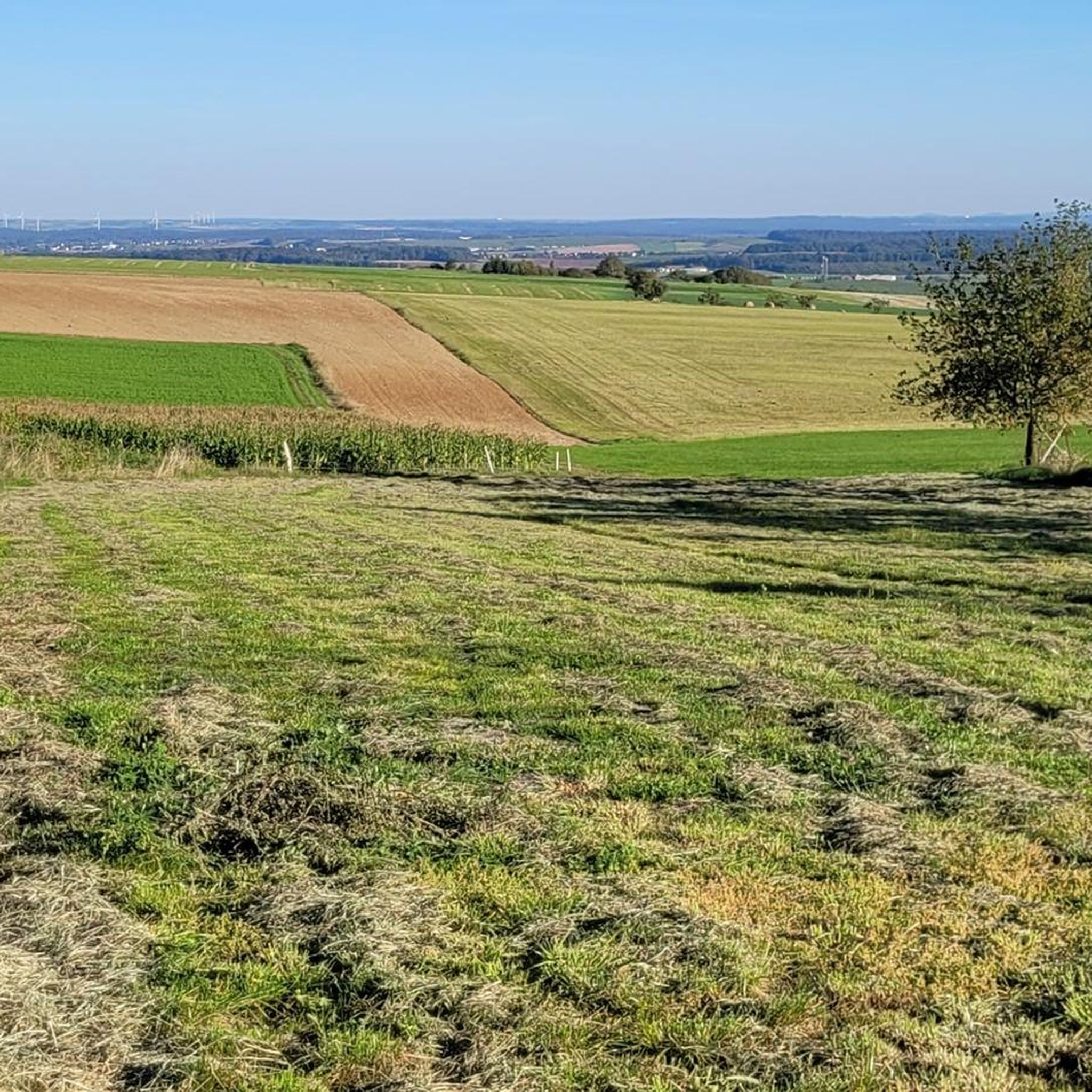
The cycle path follows the ancient Roman road, once a strategic communication axis of the Roman Empire. From the cycle path, you can enjoy sweeping views of the surrounding fields.
1
0

The striking tower in the cemetery of Farschviller is the remains of a Romanesque chapel from the 12th century.
1
0

Between Saarbrücken and Saargemünd, one of the most beautiful river cycle paths I know. Very suitable for families and also very popular with inline skaters.
0
0

A pleasant setting for a stroll between the water and the forest. The lake is a kilometer and a half long.
0
0

The Chalet Amis de la Nature Glück Auf Hütte is a mountain hut that follows the tradition of the Amis de la Nature (Friends of Nature). The Friends of Nature are an international movement committed to protecting the environment and promoting environmentally conscious tourism. The name "Glück Auf" comes from the miners' tradition and was a typical greeting in the mining industry that wished for prosperity and safety. Such huts often offer overnight accommodation and food for hikers and travelers and are located in scenic areas that invite outdoor activities such as hiking and relaxation.
2
0

Also a first-class cycle path
0
0

Farébersviller (German: Pfarrebersweiler) is a French commune with 5,316 inhabitants (1 January 2021) in the Moselle department in the Grand Est region (until 2015 Lorraine). It belongs to the arrondissement of Forbach-Boulay-Moselle, the canton of Freyming-Merlebach and the Freyming-Merlebach municipal association founded in 2001. Pfarrebersweiler belonged to the Duchy of Lorraine since 1581, which fell to France according to a treaty after the death of Stanislaus I on 23 February 1766. From 1871, following the defeat in the Franco-Prussian War, Pfarrebersweiler was part of the Imperial Territory of Alsace-Lorraine within the German Empire. After losing the First World War, the German Empire had to cede Alsace-Lorraine to France again under the terms of the Treaty of Versailles. After a further 22 years, German troops marched into the town again. Thus, Farébersviller, now Pfarrebersweiler again, was effectively annexed like the rest of Alsace-Lorraine. The town returned to France in 1944 and was given its French name again.
1
0
Frequently Asked Questions
How many touring cycling routes are available around Tenteling?
There are over 340 touring cycling routes around Tenteling, offering a wide range of options for different skill levels and preferences. This includes 81 easy routes, 149 moderate routes, and 111 difficult routes.
What kind of terrain can I expect on touring cycling routes near Tenteling?
The terrain around Tenteling is quite diverse, featuring a mix of hills, valleys, and expansive forests, including the Eckwald forest. While some routes traverse these varied landscapes, segments of the Moselle Cycle Path offer mostly flat terrain, making it accessible for various fitness levels. You'll also encounter numerous ponds and wetlands, such as the Tenteling Marsh.
Are there any circular touring cycling routes in the Tenteling area?
Yes, many routes around Tenteling are designed as loops, allowing you to start and finish at the same point. For example, the Farschviller Pond – Lower Hoste Pond loop from Théding is a popular moderate route connecting two scenic ponds. Another option is the Forbach Forest – Étang de Tenteling loop from Diebling, which is a more challenging ride through the forest and past the Étang de Tenteling.
What are some notable natural attractions I can explore by bike near Tenteling?
The region offers several natural highlights. The Forbach Forest – Étang de Tenteling loop from Diebling will take you past the Étang de Tenteling, which is part of the Sensitive Natural Area of Tenteling Marsh, known for its diverse flora and fauna. You can also find routes that explore former quarry areas, such as the Belvedere of the Quarry – Pond in the old quarry loop from Théding, which offers unique landscapes.
Are there any routes suitable for families with children?
For families, routes with minimal elevation gain and dedicated cycle paths are ideal. The Moselle Cycle Path, which extends into Germany, is known for its mostly flat terrain and is very suitable for touring cyclists of all ages. While specific family-friendly routes are not highlighted in the guide data, look for easy-rated routes or sections of the Moselle Cycle Path for a comfortable family outing.
What is the best time of year for touring cycling around Tenteling?
The Moselle region generally offers pleasant cycling conditions from spring through autumn. Spring brings blooming landscapes, while autumn showcases vibrant fall colors. The mostly flat sections of the Moselle Cycle Path are enjoyable in milder weather. Always check local weather forecasts before heading out, as conditions can vary.
Can I find routes that pass through or near towns like Sarreguemines?
Yes, Tenteling's location allows for cycling routes that connect to nearby towns. For instance, the Saar River at Saargemünd (Sarreguemines) – The Saar loop from Tenteling offers a moderate ride that takes you along the Saar River near Sarreguemines, providing opportunities to explore the town's amenities and cultural sites.
What do other touring cyclists enjoy most about cycling in Tenteling?
The touring cycling routes around Tenteling are highly rated by the komoot community, with an average score of 4.5 stars from over 1,900 reviews. Reviewers often praise the varied scenery, from tranquil forest paths to picturesque ponds and accessible sections of the Moselle Valley. The mix of easy to difficult routes also means there's something for everyone.
Are there any challenging routes for experienced touring cyclists?
Absolutely. For experienced touring cyclists seeking a challenge, there are 111 difficult routes available. An example is the Le Glück Auf Lodge – Forêt de Forbach loop from Théding, which covers over 36 kilometers with significant elevation gain, offering a demanding yet rewarding experience through the Forbach Forest.
Where can I find parking for touring cycling routes near Tenteling?
Many touring cycling routes around Tenteling start from villages like Théding or Diebling, where you can typically find local parking options. For routes that connect to larger towns like Sarreguemines, public parking facilities are usually available. It's advisable to check specific starting points for parking availability before your trip.
Are there any specific viewpoints or landmarks along the cycling routes?
Yes, the region offers several points of interest. The Belvedere of the Quarry – Pond in the old quarry loop from Théding, for example, leads through a former quarry area which often provides unique viewpoints. Additionally, the broader Moselle region is known for its
Are there any specific viewpoints or landmarks along the cycling routes?
Yes, the region offers several points of interest. The Belvedere of the Quarry – Pond in the old quarry loop from Théding, for example, leads through a former quarry area which often provides unique viewpoints. Additionally, the broader Moselle region is known for its
Are there any specific viewpoints or landmarks along the cycling routes?
Yes, the region offers several points of interest. The Belvedere of the Quarry – Pond in the old quarry loop from Théding, for example, leads through a former quarry area which often provides unique viewpoints. Additionally, the broader Moselle region is known for its
Are there any specific viewpoints or landmarks along the cycling routes?
Yes, the region offers several points of interest. The Belvedere of the Quarry – Pond in the old quarry loop from Théding, for example, leads through a former quarry area which often provides unique viewpoints. Additionally, the broader Moselle region is known for its
Are there any specific viewpoints or landmarks along the cycling routes?
Yes, the region offers several points of interest. The Belvedere of the Quarry – Pond in the old quarry loop from Théding, for example, leads through a former quarry area which often provides unique viewpoints. Additionally, the broader Moselle region is known for its
Most popular routes around Tentelingen
Most popular attractions around Tentelingen

Get inspired with the komoot mobile app


Explore more
Browse the best Cycling routes in other regions.
