The best gravel rides around La Talaudière
4.6
(14)
66
riders
28
rides
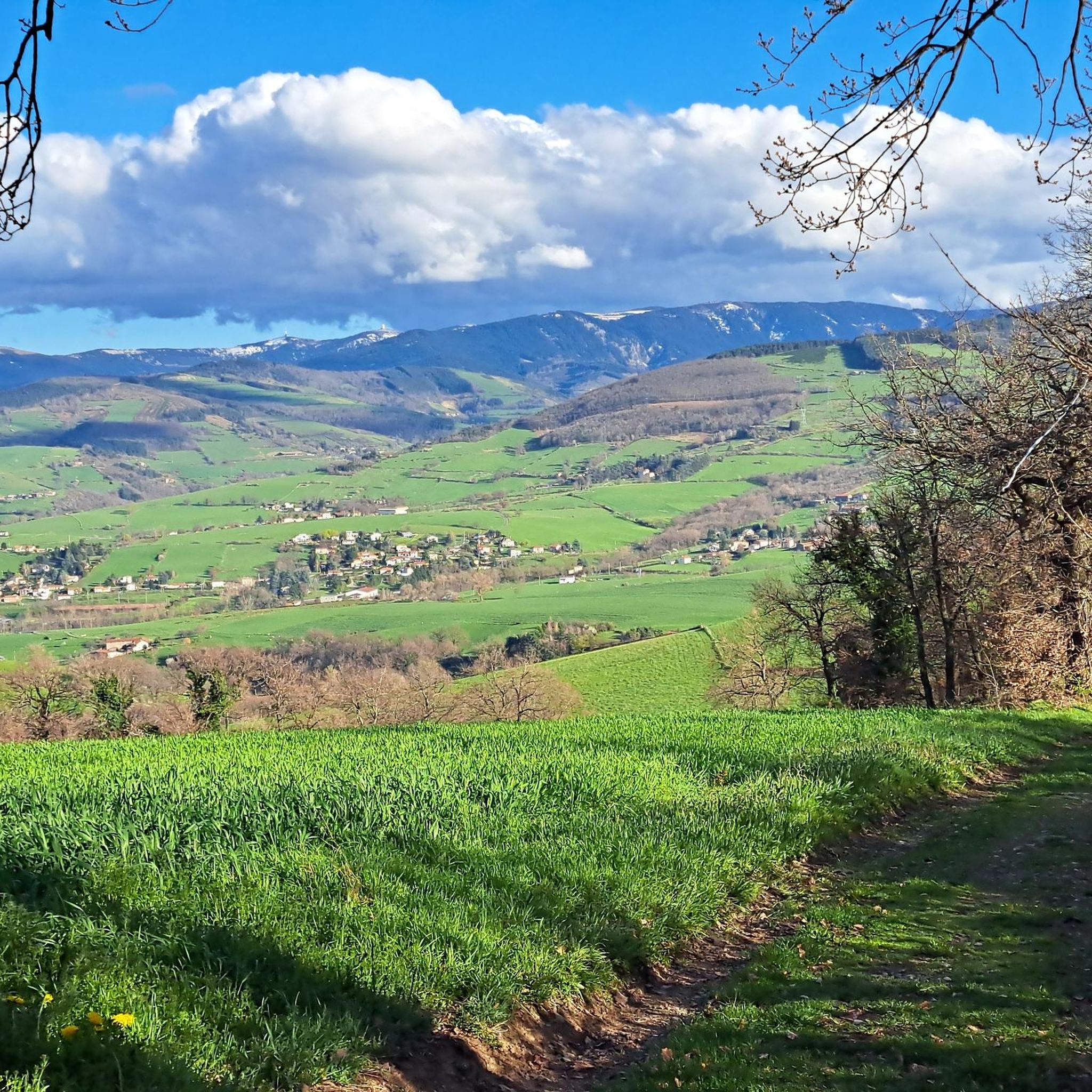
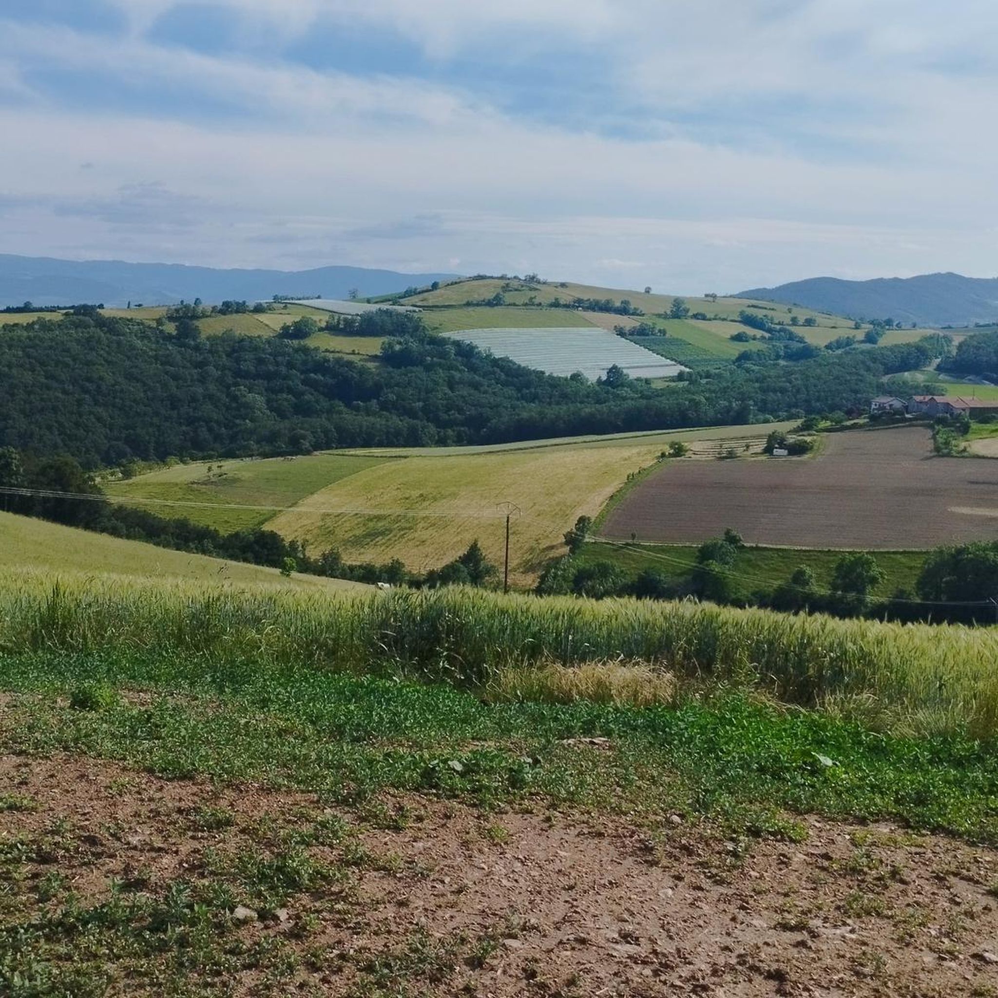
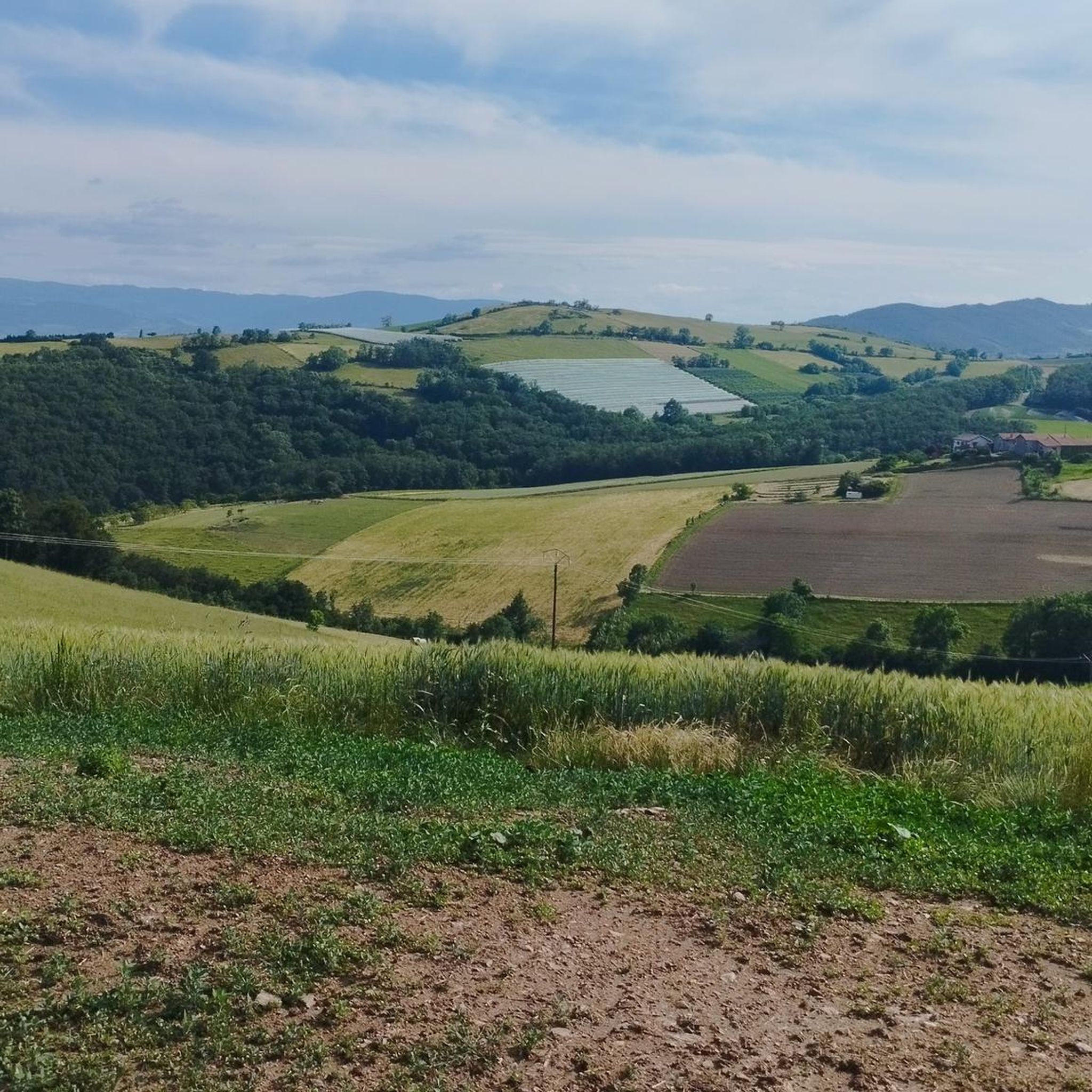
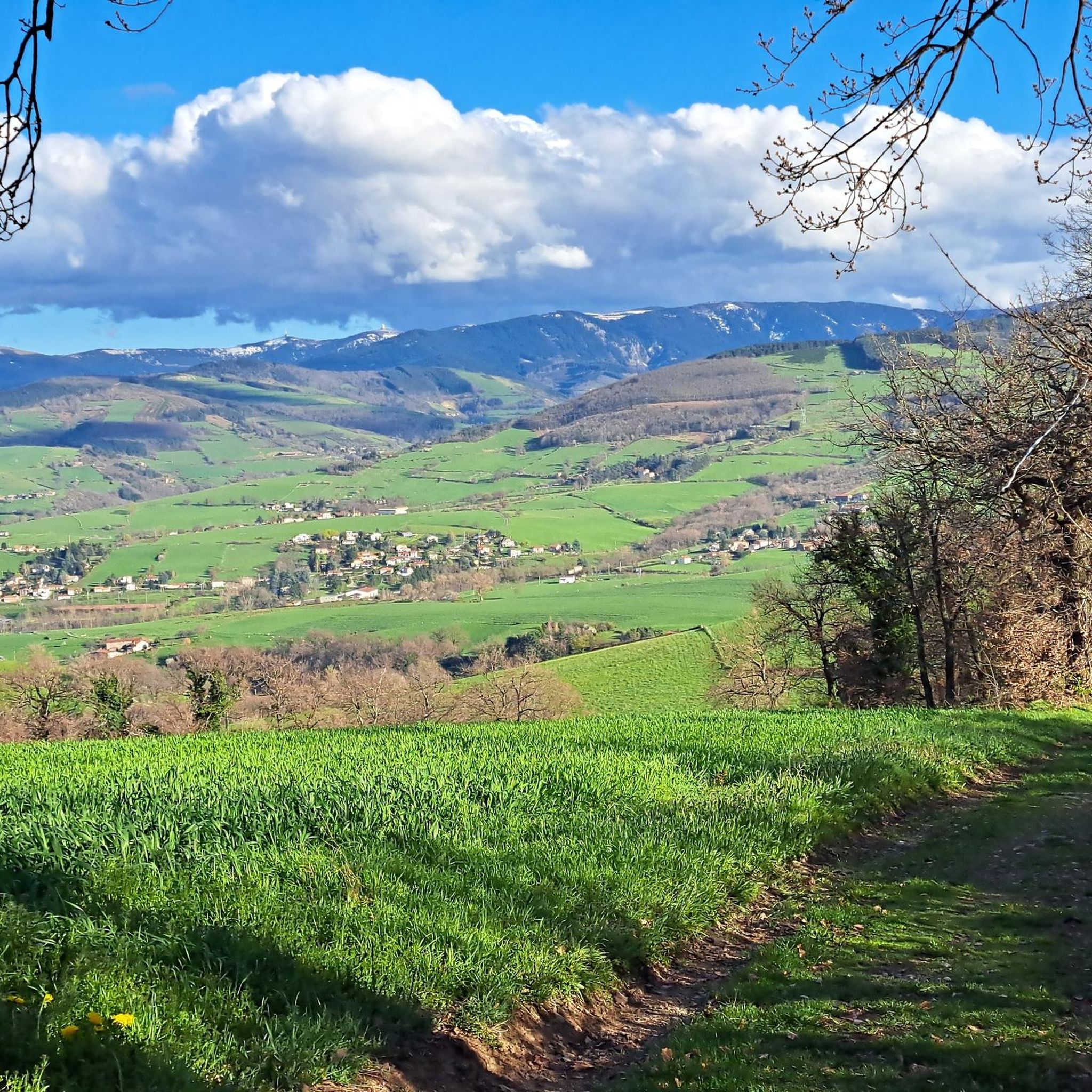
Gravel biking around La Talaudière offers diverse terrain within France's Loire department, characterized by elevations ranging from 473 to 696 meters. The region features a mix of paved and unpaved surfaces, including forest trails and paths alongside rivers, providing varied landscapes for gravel exploration. Riders can expect engaging climbs and descents, with terrain that includes smooth tracks, as well as sections with loose gravel or roots.
Best gravel bike trails around La Talaudière
- The most popular gravel bike trail is…
Last updated: July 3, 2026
5.0
(1)
9
riders
49.8km
04:22
1,180m
1,180m
Hard gravel ride. Very good fitness required. Mostly paved surfaces. Suitable for all skill levels.
1
riders
108km
08:37
2,450m
2,450m
Hard gravel ride. Very good fitness required. Mostly paved surfaces. Suitable for all skill levels.

Sign up for free
12
riders
33.4km
02:24
540m
540m
Hard gravel ride. Very good fitness required. Mostly paved surfaces. Suitable for all skill levels.
3.0
(1)
10
riders
32.9km
02:20
610m
610m
Hard gravel ride. Very good fitness required. Mostly paved surfaces. Suitable for all skill levels.
4.8
(4)
8
riders
39.1km
03:17
1,010m
1,010m
Hard gravel ride. Very good fitness required. Mostly paved surfaces. Suitable for all skill levels.
Get access to more routes and recommendations from other explorers.
Sign up for free
Already have an account?
Our route recommendations are based on thousands of hikes, rides, and runs completed by other people on komoot.
Start today with a free account
Your next adventure awaits.
Login or Signup
Tips from the Community

The Col de Pavezin is certainly not the highest, but it is no less mythical. The inventor of the derailleur, Paul de Vivié, who settled here, made it an unmissable rendezvous. The pass is located between the Rhône valley and the Gier valley, and opens up a grandiose panorama of the Alps and the Rhône furrow.
0
0

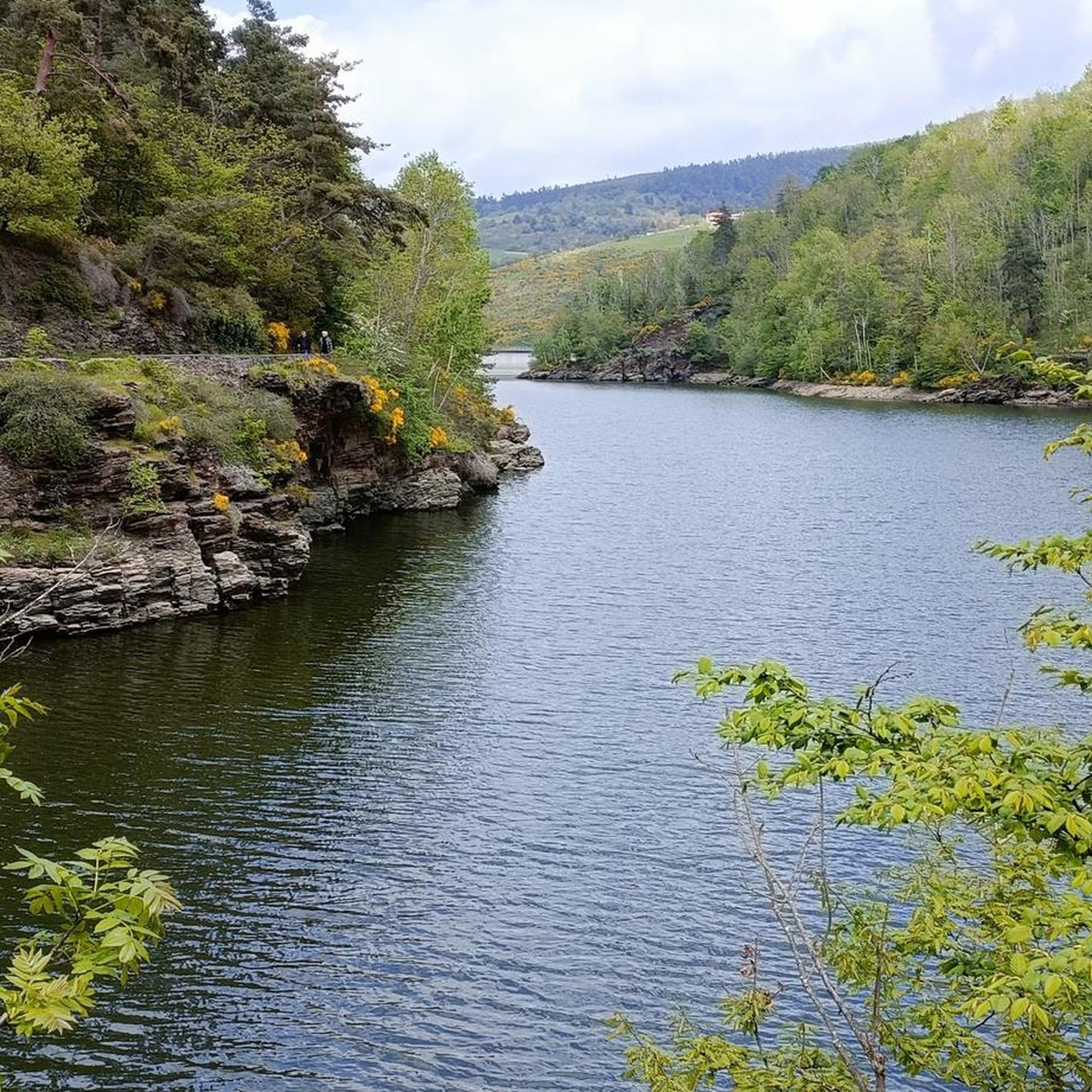
following the Furan is a "source" of discoveries, dams, aqueduct, penstock...
1
0


The water in the fountain is super fresh, very beautiful view and good refuge
0
0
THE crossroads of all the walks in the area, with the little refreshing break at the inn, it's perfect (change of owner in progress, for the moment it is closed)
0
0
very smooth track, allowing you to connect to other very nice tracks
0
0

Frequently Asked Questions
How many gravel bike trails are available around La Talaudière?
There are over 35 gravel bike routes in the La Talaudière area, offering a variety of experiences for riders. These routes are highly rated by the komoot community, with an average score of 4.5 stars from over 9 reviews.
Are there any easy gravel bike trails suitable for beginners in La Talaudière?
While La Talaudière and the surrounding Loire department offer fantastic gravel biking, the routes tend to be more challenging. Currently, there are no routes specifically categorized as 'easy' in our guide. Most of the 35+ routes are rated as moderate to difficult, featuring significant elevation changes and varied terrain.
What kind of terrain can I expect on gravel bike trails around La Talaudière?
The terrain around La Talaudière is quite varied, reflecting its location within the Loire department. You can expect a mix of paved and unpaved surfaces, including forest trails, paths alongside rivers, and sections with loose gravel or roots. The region's topography, with altitudes ranging from 473 to 696 meters, ensures engaging climbs and descents.
Are there any scenic viewpoints or natural attractions along the gravel routes?
Yes, the region offers several scenic spots. While riding, you might encounter natural monuments and viewpoints. For example, the Crêt des 6 Soleils offers panoramic views. You can also find a beautiful waterfall in Parc Naturel Régional du Pilat, which can be incorporated into longer excursions.
Are there any routes that pass by lakes or dams?
Yes, several routes in the broader region of La Talaudière pass by impressive lakes and dams. Notable highlights include the Rive dam spillway, Cotatay Dam, and the Gier Reservoir. These offer picturesque spots for a break.
Can I find gravel bike routes that are circular loops?
Yes, many of the gravel bike routes around La Talaudière are designed as circular loops, allowing you to start and end at the same point. Examples include the challenging The pit of hell – Chaubouret Cross loop from Saint-Étienne Châteaucreux or the Loire Bridge – Lizeron Path loop from Saint-Genest-Lerpt.
What is the best time of year for gravel biking in La Talaudière?
The Loire department, where La Talaudière is located, generally offers good conditions for gravel biking from spring through autumn. These seasons provide pleasant temperatures and vibrant landscapes. While winter riding is possible, be prepared for potentially colder, wetter conditions and shorter daylight hours.
Are there any gravel routes around 20-30 km in length?
Yes, you can find several gravel routes in the 20-30 km range. For instance, the L'Etrat Fontanes loop from Saint-Étienne-La Terrasse is approximately 31 km, offering a substantial ride without being excessively long.
Are the gravel bike trails in La Talaudière suitable for advanced riders?
Absolutely. The La Talaudière area is well-suited for advanced gravel cyclists. With 29 out of 35 routes categorized as difficult, you'll find plenty of challenging terrain, significant elevation gains, and longer distances to test your skills. The Col de l'Œillon (1233 m) – Pavezin Pass loop from Saint-Chamond, for example, is over 100 km with substantial climbing.
What do other gravel bikers enjoy most about gravel biking in La Talaudière?
The area is highly rated by the komoot community, with an average score of 4.5 stars. Reviewers often praise the diverse terrain, the engaging climbs and descents, and the beautiful natural landscapes that characterize the Loire department. The mix of forest trails and river paths provides a varied and rewarding experience.
Are there any historical sites or landmarks to see along the routes?
While specific historical sites directly on the gravel routes are not detailed, the region is rich in history. You might find points of interest like the Essalois Castle – Essalois Castle loop from Saint-Genest-Lerpt, which offers a glimpse into the local heritage. The broader Loire department also features numerous historical elements.
Is La Talaudière a good base for exploring the wider Loire region by gravel bike?
Yes, La Talaudière serves as an excellent base. Its location within the Loire department provides access to a recognized network of gravel cycling routes that combine natural beauty with engaging riding experiences. You can easily venture into areas like the Gorges de la Loire for incredible panoramas or explore routes through vineyards and dense forests characteristic of the region.
Most popular routes around La Talaudière
Most popular attractions around La Talaudière

Get inspired with the komoot mobile app


Explore more
Browse the best Gravel rides in other regions.
