The best road cycling routes around La Talaudière
4.4
(296)
7,054
riders
312
rides
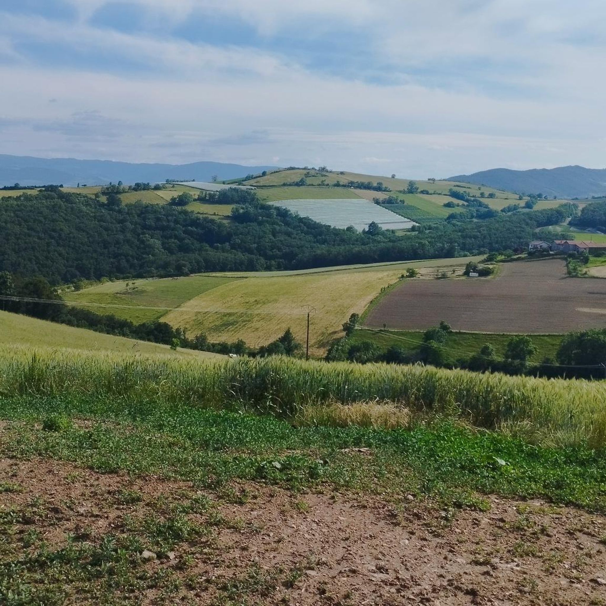
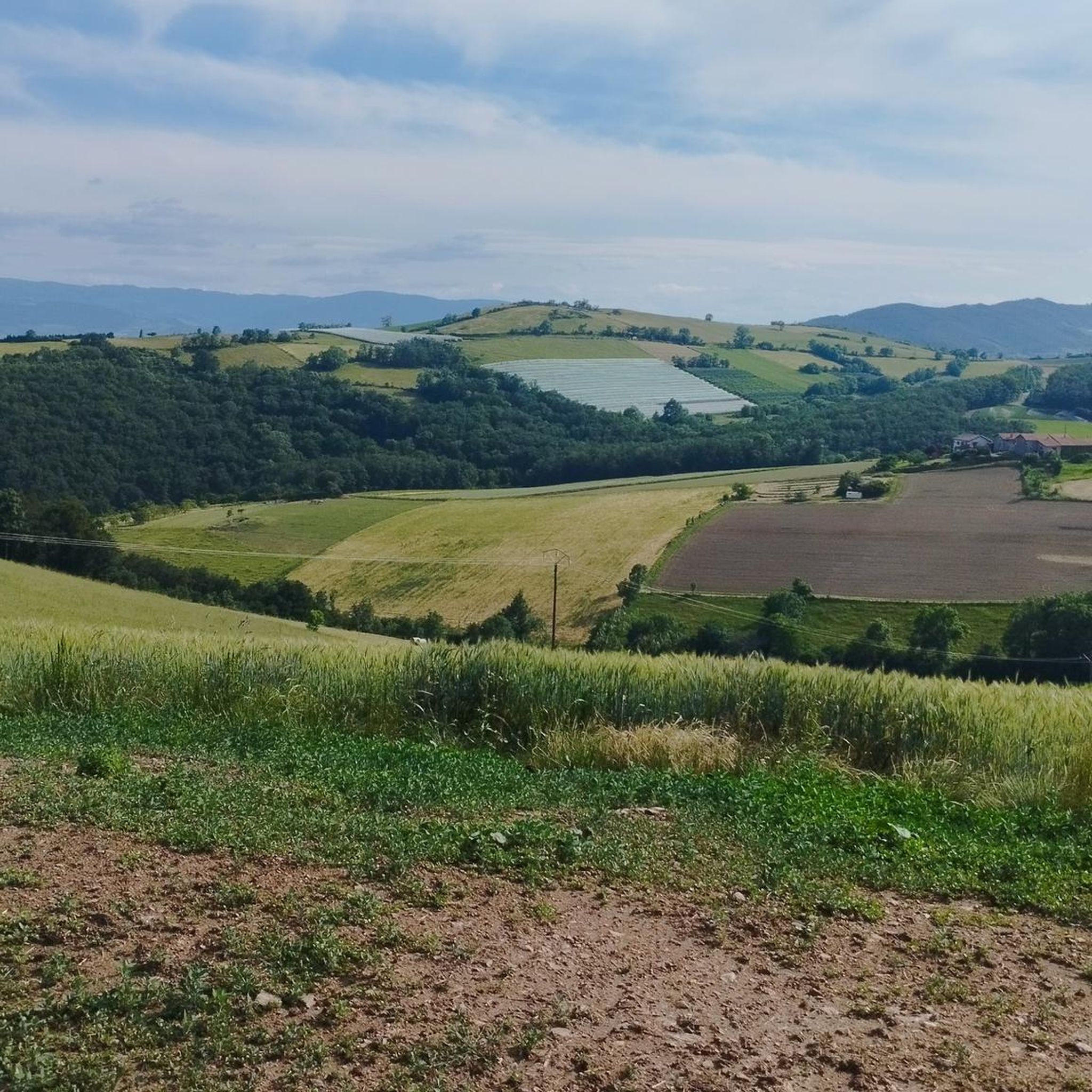
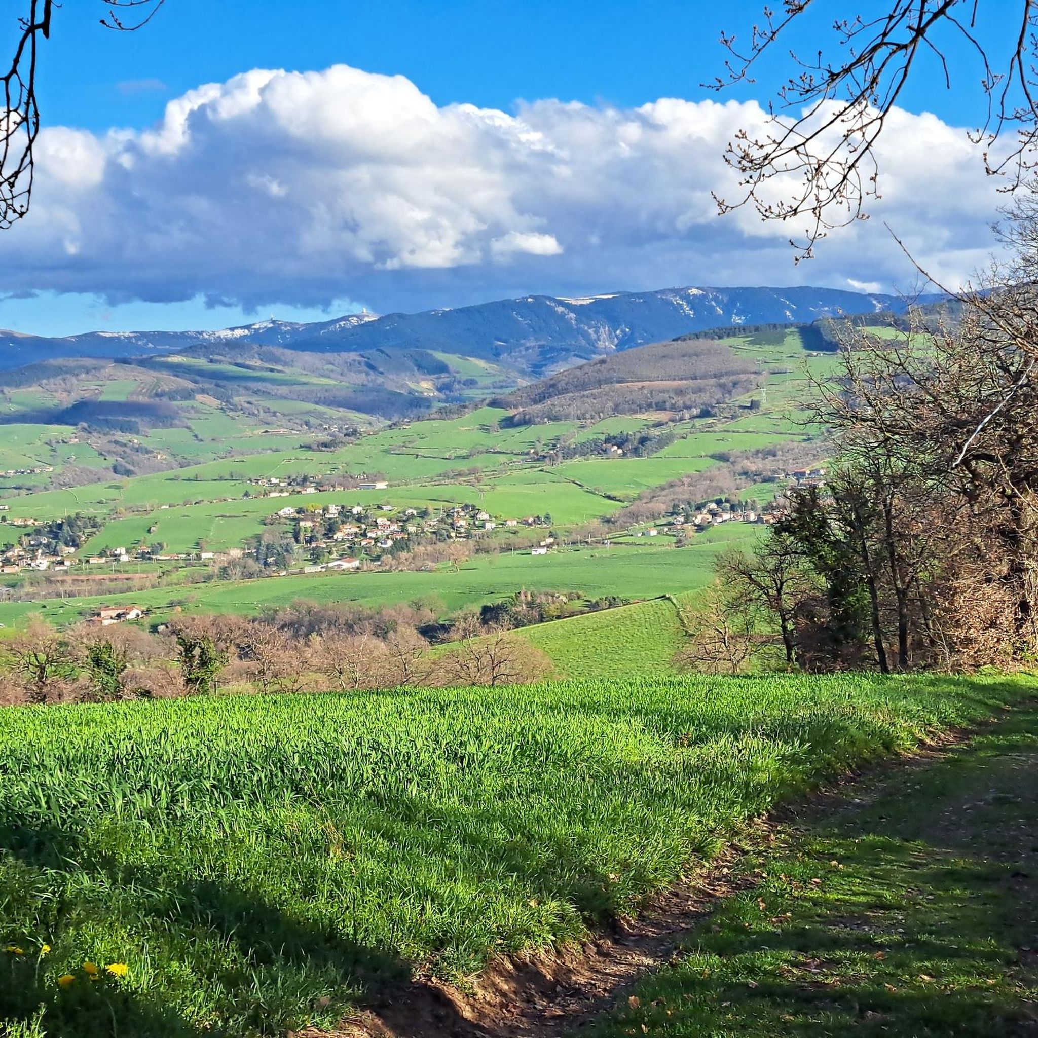
Road cycling routes around La Talaudière are characterized by a varied, hilly terrain within the Loire department of central France. The region features elevations ranging from 473 to 696 meters, providing diverse cycling challenges. Cyclists encounter significant elevation changes and scenic views across a landscape that includes natural crests and water bodies. This topography makes the area suitable for road cyclists seeking both demanding climbs and picturesque routes.
Best road cycling routes around La Talaudière
- The most popular road cycling…
Last updated: May 16, 2026
4.5
(26)
358
riders
51.6km
02:54
1,110m
1,110m
Hard road ride. Very good fitness required. Mostly well-paved surfaces and easy to ride.
4.5
(26)
359
riders
55.4km
02:33
670m
670m
Moderate road ride. Good fitness required. Mostly well-paved surfaces and easy to ride.

Sign up for free
4.5
(8)
196
riders
48.7km
02:21
640m
640m
Moderate road ride. Good fitness required. Mostly well-paved surfaces and easy to ride.
5.0
(5)
164
riders
49.2km
02:15
540m
540m
Moderate road ride. Good fitness required. Mostly well-paved surfaces and easy to ride.
4.6
(5)
151
riders
62.1km
02:40
420m
420m
Moderate road ride. Good fitness required. Mostly well-paved surfaces and easy to ride.
Get access to more routes and recommendations from other explorers.
Sign up for free
Already have an account?
Our route recommendations are based on thousands of hikes, rides, and runs completed by other people on komoot.
Start today with a free account
Your next adventure awaits.
Login or Signup

Tips from the Community

Great view from Essalois castle.
0
0
on the watershed between the ocean and the Mediterranean
0
0
magnificent with a small, rather steep passage (good shoes recommended)
0
0
New shaded road perfect in summer
0
0

Here, too, you can play the piano (which actually quite a lot of people can) and seating areas invite you to linger.
0
0
You can also play the piano in this station and seating areas invite you to linger.
1
0
good elevation gain to the castle.
0
0

Restaurant/café in Croix de Chabouret. The blueberry tart is excellent.
0
0
Frequently Asked Questions
How many road cycling routes are available around La Talaudière?
The region around La Talaudière offers a wide selection of road cycling routes, with over 300 tours available on komoot. These routes cater to various skill levels, from moderate to difficult, ensuring there's something for every road cyclist.
What kind of terrain can I expect when road cycling near La Talaudière?
Road cycling around La Talaudière is characterized by its varied, hilly terrain. The area features elevations ranging from 473 to 696 meters, providing significant elevation changes and scenic views. You'll encounter rolling hills and climbs, making it suitable for cyclists seeking both demanding workouts and picturesque routes.
Are there road cycling routes suitable for beginners or those looking for an easier ride?
Yes, while the region is known for its challenging climbs, there are routes suitable for less experienced riders. Approximately 12 easy routes are available, alongside 140 moderate options, offering a gentler introduction to road cycling in the area. These routes still provide beautiful scenery without the most strenuous ascents.
Which routes offer a significant challenge for experienced road cyclists?
For experienced cyclists seeking a challenge, the region boasts 163 difficult routes. Notable options include the Chaubouret Cross – Rochetaillée Castle loop from Saint-Étienne Châteaucreux, which covers 53 km with over 1,100 meters of ascent, and the Hill climb alongside the Loire – Grangent Dam loop from Saint-Étienne Carnot, a 56.1 km route with similar elevation gains.
What are some popular moderate road cycling routes in the area?
Among the moderate options, the Col de la Gachet – Fontanes Castle loop from Saint-Étienne Carnot is a favorite, covering 55.5 km with about 672 meters of ascent. Another well-regarded moderate route is the Col de la Gachet loop from Saint-Étienne Châteaucreux, which is 42.1 km long with 565 meters of climbing.
Are there any road cycling routes that feature water bodies or dams?
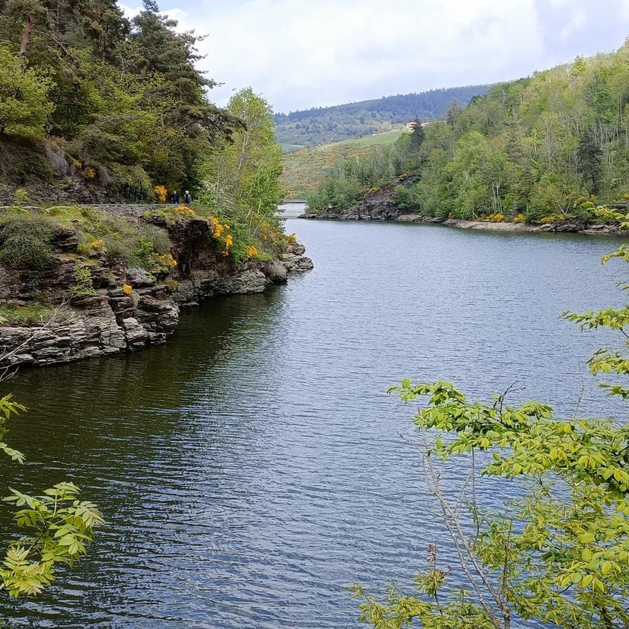
Yes, several routes offer views of local water bodies and dams. For instance, the Hill climb alongside the Loire – Grangent Dam loop from Saint-Étienne Carnot provides views of the Loire river and Grangent Dam. The region also features attractions like the Gouffre d'Enfer Dam and Pas-du-Riot Dam, which can be incorporated into rides or visited nearby.
What can I see along the road cycling routes in terms of historical or natural landmarks?
Beyond the scenic landscapes, you can encounter several interesting landmarks. The Chaubouret Cross – Rochetaillée Castle loop from Saint-Étienne Châteaucreux passes by the historic Rochetaillée Castle. The region is also home to natural beauty spots like Perdrix Crest and Oeillon Crest, offering elevated viewpoints and panoramic vistas.
What do other road cyclists enjoy most about road cycling in La Talaudière?
The road cycling experience around La Talaudière is highly rated by the komoot community, with an average score of 4.5 stars from over 300 reviews. Cyclists often praise the varied terrain, significant elevation changes, and the picturesque views of the natural crests and water bodies that define the region.
Are there any circular road cycling routes available?
Many of the road cycling routes around La Talaudière are designed as loops, allowing you to start and finish at the same point. Examples include the Chaubouret Cross – Rochetaillée Castle loop and the Col de la Gachet – Fontanes Castle loop, providing convenient options for exploring the area.
When is the best time of year for road biking in La Talaudière?
The Auvergne-Rhône-Alpes region generally offers pleasant cycling conditions from spring through autumn. Summer months are popular, but spring and early autumn can provide cooler temperatures and vibrant scenery, ideal for tackling the hilly terrain. Always check local weather forecasts before heading out.
Are there any longer road cycling routes for endurance training?
Yes, for those looking for longer rides, routes like the Place Jacquard Market – Water at Rivas loop from Saint-Étienne Carnot extend to over 62 km. The local cycling club, Cyclos Talaudière Sorbiers, also organizes events with distances up to 120 km, and even a challenging 250 km course, indicating the presence of extensive routes suitable for endurance training.
Most popular routes around La Talaudière
Most popular attractions around La Talaudière

Get inspired with the komoot mobile app


Explore more
Browse the best Road cycling routes in other regions.
