The best gravel rides around Urcerey
4.6
(22)
130
riders
39
rides
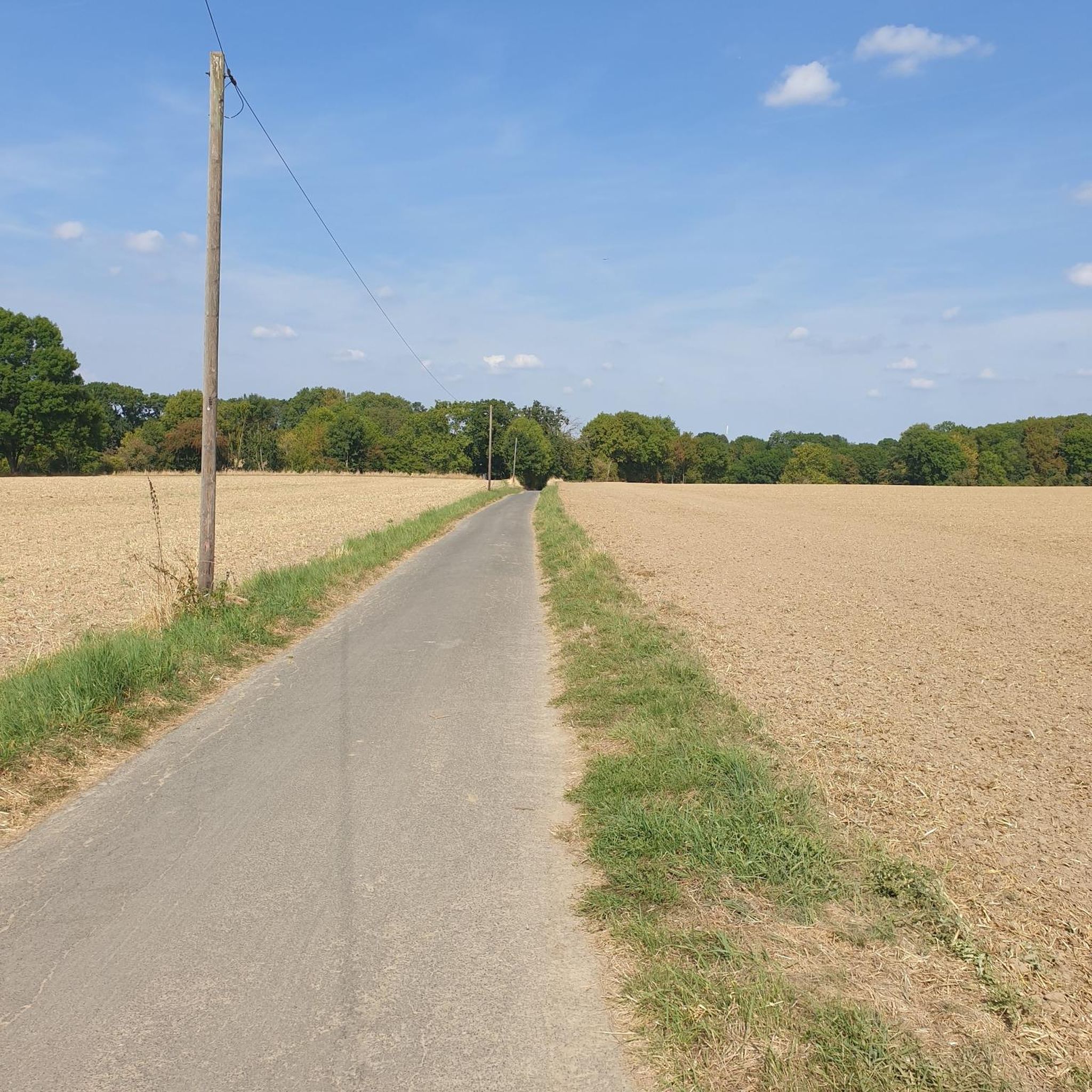
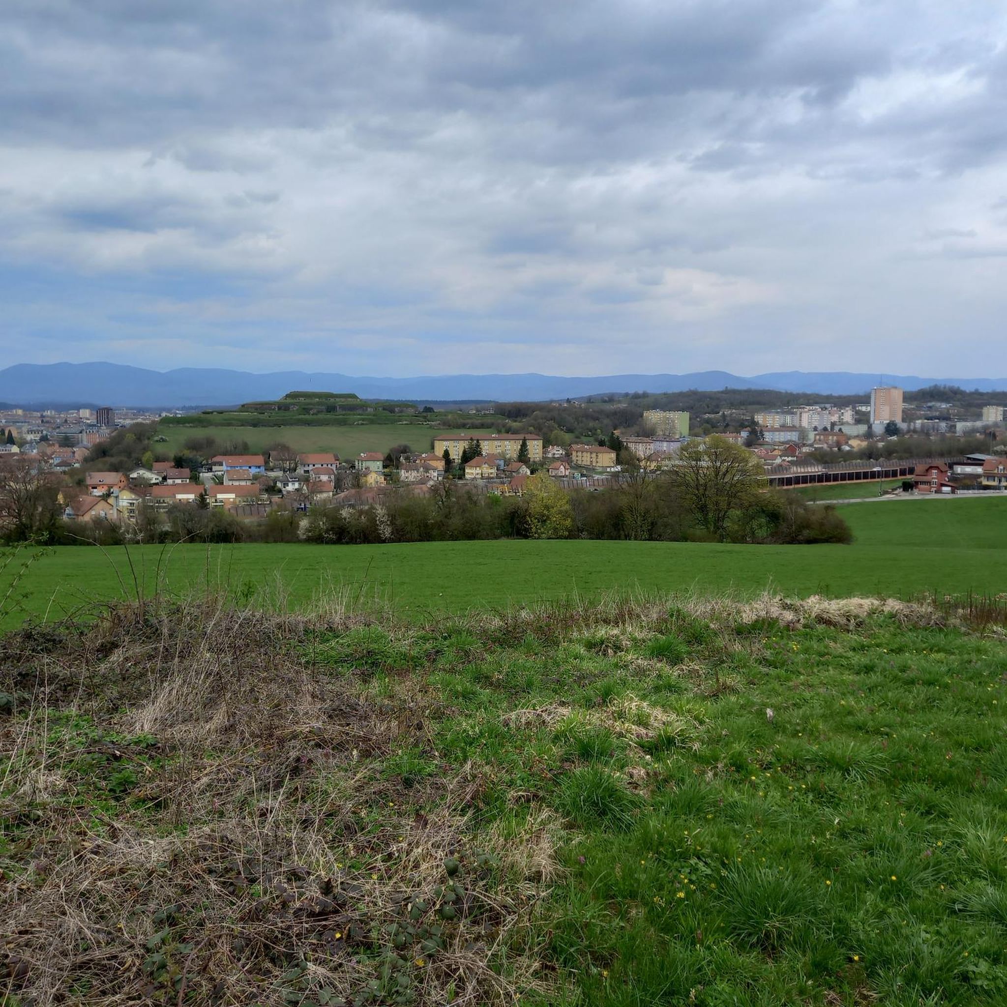
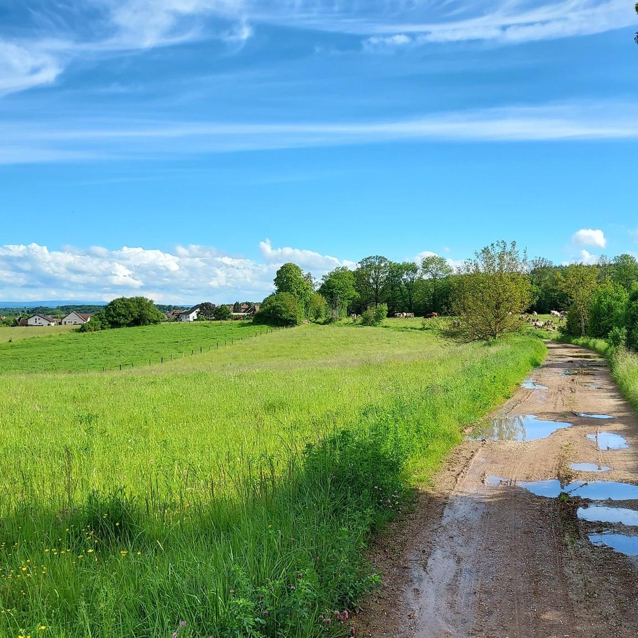
Gravel biking around Urcerey offers diverse terrain, characterized by extensive forests and agricultural lands. The region features a varied elevation ranging from 359m to 463m, providing gentle undulations suitable for cycling. This blend of wooded paths and open country roads creates an ideal setting for exploration. Urcerey's location within the Territoire de Belfort department benefits from the scenic influences of the nearby Vosges mountains.
Best gravel bike trails around Urcerey
- The most popular gravel bike trail is Fort Senarmont, Bessoncourt…
Last updated: October 6, 2026
5.0
(4)
28
riders
100km
05:57
740m
740m
Hard gravel ride. Very good fitness required. Mostly paved surfaces. Suitable for all skill levels.
5.0
(3)
17
riders
33.9km
02:06
240m
240m
Hard gravel ride. Good fitness required. You may need to push your bike for some segments of this route.

4.0
(1)
17
riders
64.2km
03:53
530m
530m
Hard gravel ride. Very good fitness required. Mostly paved surfaces. Suitable for all skill levels.
4.5
(2)
11
riders
36.9km
02:11
190m
190m
Hard gravel ride. Good fitness required. You may need to push your bike for some segments of this route.
5.0
(2)
5
riders
34.0km
02:12
280m
280m
Moderate gravel ride. Good fitness required. Mostly paved surfaces. Suitable for all skill levels.
Get access to more routes and recommendations from other explorers.
Already have an account?
Our route recommendations are based on thousands of hikes, rides, and runs completed by other people on komoot.
Start today with a free account
Your next adventure awaits.
Tips from the Community

This large lake is a popular stop along the cycling routes around Belfort, with beautiful views over the water and the surrounding nature.
6
0
The Étang du Malsaucy (often also called Lac du Malsaucy) is, with an area of 55 hectares, the largest lake in the French department of Territoire de Belfort. It is nestled in the Parc naturel régional des Ballons des Vosges, spread across the municipalities of Évette-Salbert, Lachapelle-sous-Chaux, and Sermamagny. Originally built at the end of the 15th century for fish farming, it is now one of the most important recreational and natural areas in the region.
6
0
A comfortable, car-free and beautiful cycle path to Lac du Malsaucy, one of the most beautiful recreational areas of the Territoire de Belfort.
1
0

A varied trip along the Canal de Montbéliard à la Haut Saône
0
0


very beautiful route!!! drive slowly!! watch out for pedestrians
0
1

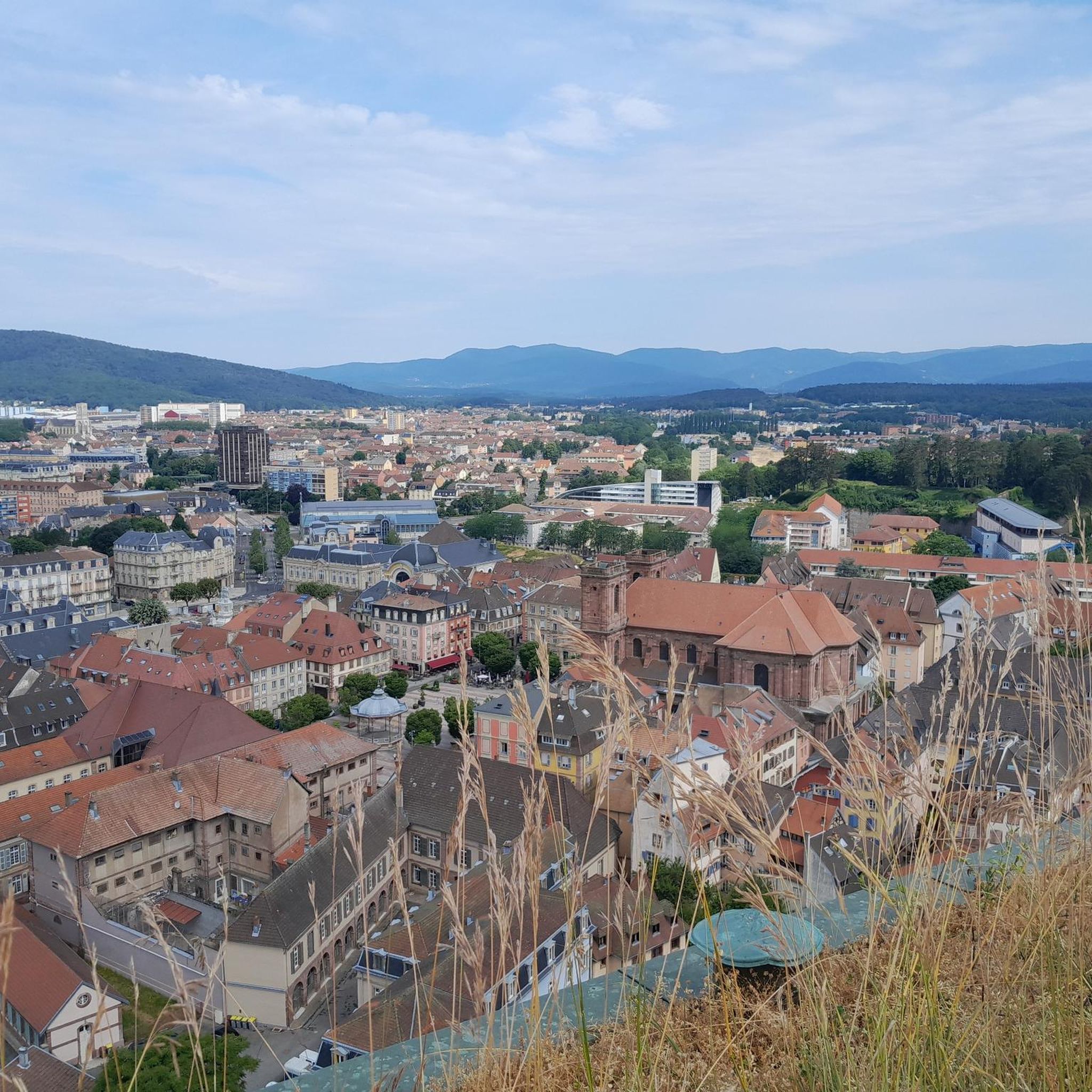
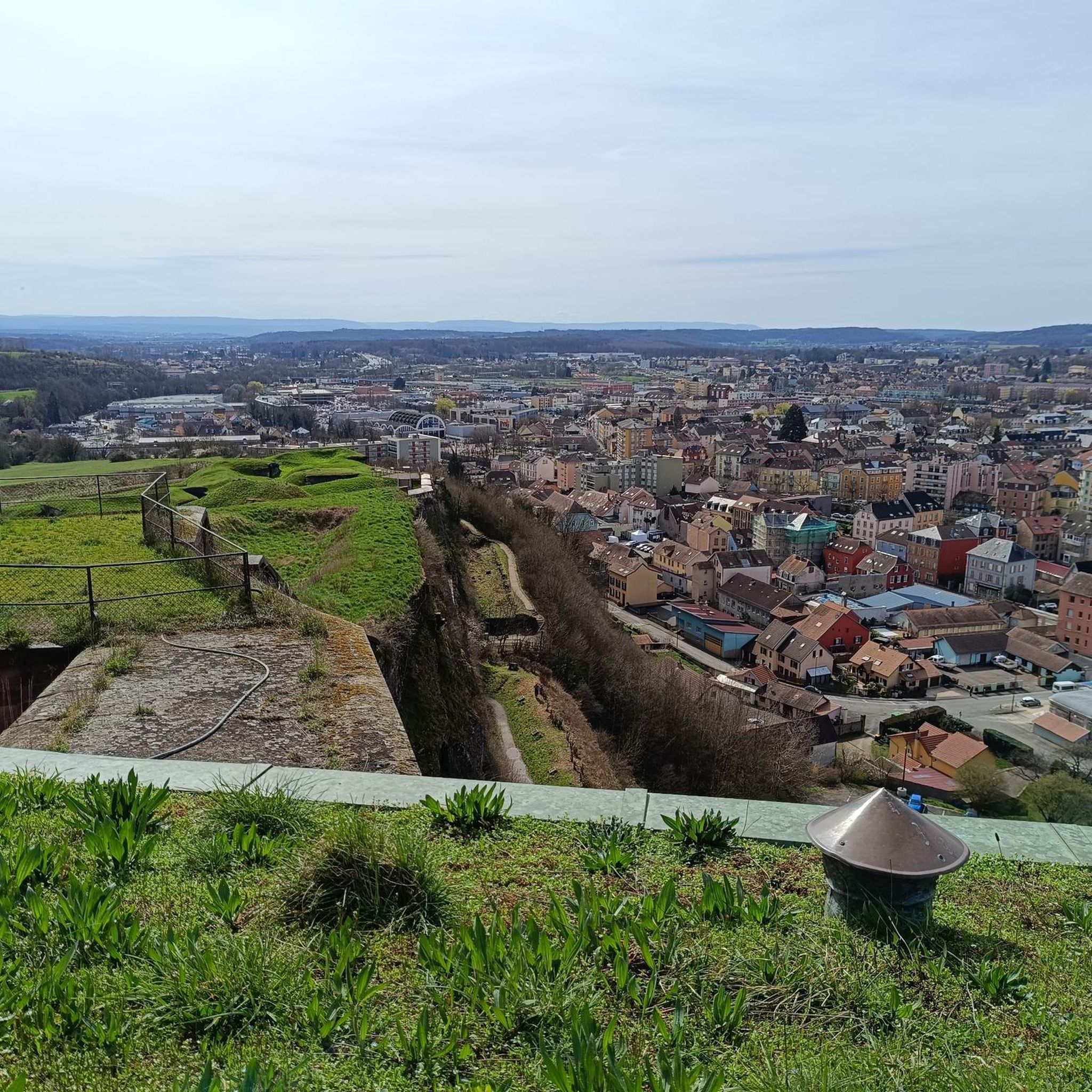
Beautiful sculpture and coat of arms of Belfort, below the fortress.
0
0

A beautiful green paradise between the highway and the city. The birdsong even drowns out the highway noise.
0
0
Frequently Asked Questions
How many gravel bike trails are available around Urcerey?
There are over 40 gravel bike trails around Urcerey, offering a diverse range of experiences for all skill levels. You'll find routes varying from easy to difficult, exploring the region's forests, agricultural lands, and historical sites.
Are there any easy gravel bike routes suitable for beginners or families?
Yes, Urcerey offers several easier gravel bike routes. There are 4 routes specifically categorized as easy, and 22 as moderate, providing options for those looking for less challenging rides. These often traverse gentler terrain through forests and open countryside.
What kind of landscapes can I expect to see on gravel bike trails in Urcerey?
Gravel bike trails in Urcerey showcase a blend of extensive forests and agricultural lands. You'll experience varied elevations, from gentle undulations to more challenging climbs, with routes often passing through wooded paths, open country roads, and charming villages. The region is also influenced by the scenic Vosges mountains.
Are there any circular gravel bike routes around Urcerey?
Many of the gravel bike routes in the Urcerey area are designed as loops, allowing you to start and finish in the same location. For example, the Fort Senarmont, Bessoncourt – Fort de Vézelois loop from Belfort is a popular circular option exploring historical forts and wooded sections.
What historical sites or landmarks can I explore while gravel biking in Urcerey?
The region around Urcerey is rich in history, particularly with its fortified belt. You can encounter historical forts like Fort de Vézelois and Mont Vaudois Fort. The Fort Senarmont, Bessoncourt – Fort de Vézelois loop from Belfort specifically incorporates these historical elements into the ride.
Are there any routes that pass by lakes or ponds?
Yes, several routes offer views of local lakes and ponds. The Lac du Malsaucy – Véronne Pond loop from Belfort is a great example, traversing varied countryside and offering scenic water views. You can also find highlights like Véronne Pond and Étang du Malsaucy.
What do other gravel bikers say about the trails in Urcerey?
The gravel biking routes around Urcerey are highly rated by the komoot community, with an average score of 4.2 stars from more than 9 reviews. Many praise the diverse terrain, the mix of forest and open landscapes, and the opportunities to explore historical sites and natural beauty.
Are there any challenging gravel bike trails for experienced riders?
Absolutely. For experienced riders seeking a challenge, there are 15 difficult routes available. An example is the Lake Malsaucy – Lac du Malsaucy loop from Danjoutin, which is 74.7 km long and involves significant elevation gain, typically taking around 5 hours 40 minutes to complete.
Can I find less crowded gravel trails near Urcerey?
Urcerey's rural character and extensive network of trails, including those through forests and agricultural lands, often provide opportunities for less crowded rides. Exploring routes that connect smaller villages like Argiésans and Buc can lead to tranquil paths away from more popular areas.
What is the longest gravel bike route available in the Urcerey area?
One of the longest routes is The Sundgau ponds – Seen on the ballon d'Alsace loop from Belfort. This challenging trail spans 95.5 km and typically takes over 7 hours to complete, offering an extensive exploration of the region's diverse landscapes.
Are there viewpoints along the gravel bike trails in Urcerey?
Yes, the varied elevation and natural features of the region offer several scenic viewpoints. You might find spots with panoramic views of the surrounding countryside, forests, or even the nearby Vosges mountains. The View of the Belfort citadel is a notable highlight.
Most popular attractions around Urcerey

Get inspired with the komoot mobile app


Explore more
Browse the best Gravel rides in other regions.
