The best running trails around Urcerey
4.3
(201)
9,090
runners
379
runs
Jogging around Urcerey offers diverse routes through a landscape characterized by significant forest cover and agricultural lands. The region provides varied terrain, including dirt paths, forest trails, and towpaths alongside canals. Its location near the Parc Naturel Régional des Ballons des Vosges further expands opportunities for scenic running.
Best jogging routes around Urcerey
- The most popular jogging route is Le bois et fort du Mont Vaudois — loop — running from Échenans-sous-Mont-Vaudois, a 5.5 miles (8.9 km) trail that…
Last updated: October 8, 2026
10
runners
Moderate run. Good fitness required. Mostly accessible paths. Some sure footedness required.
56
runners
7.76km
00:49
60m
60m
Moderate run. Good fitness required. Mostly paved surfaces. Suitable for all skill levels.

25
runners
28.2km
02:59
100m
100m
Hard run. Very good fitness required. Mostly paved surfaces. Suitable for all skill levels.
15
runners
12.5km
01:20
100m
110m
Moderate run. Good fitness required. Mostly paved surfaces. Suitable for all skill levels.
8
runners
5.03km
00:33
50m
50m
Moderate run. Good fitness required. Mostly paved surfaces. Suitable for all skill levels.
Get access to more routes and recommendations from other explorers.
Already have an account?
Our route recommendations are based on thousands of hikes, rides, and runs completed by other people on komoot.
Start today with a free account
Your next adventure awaits.

Tips from the Community

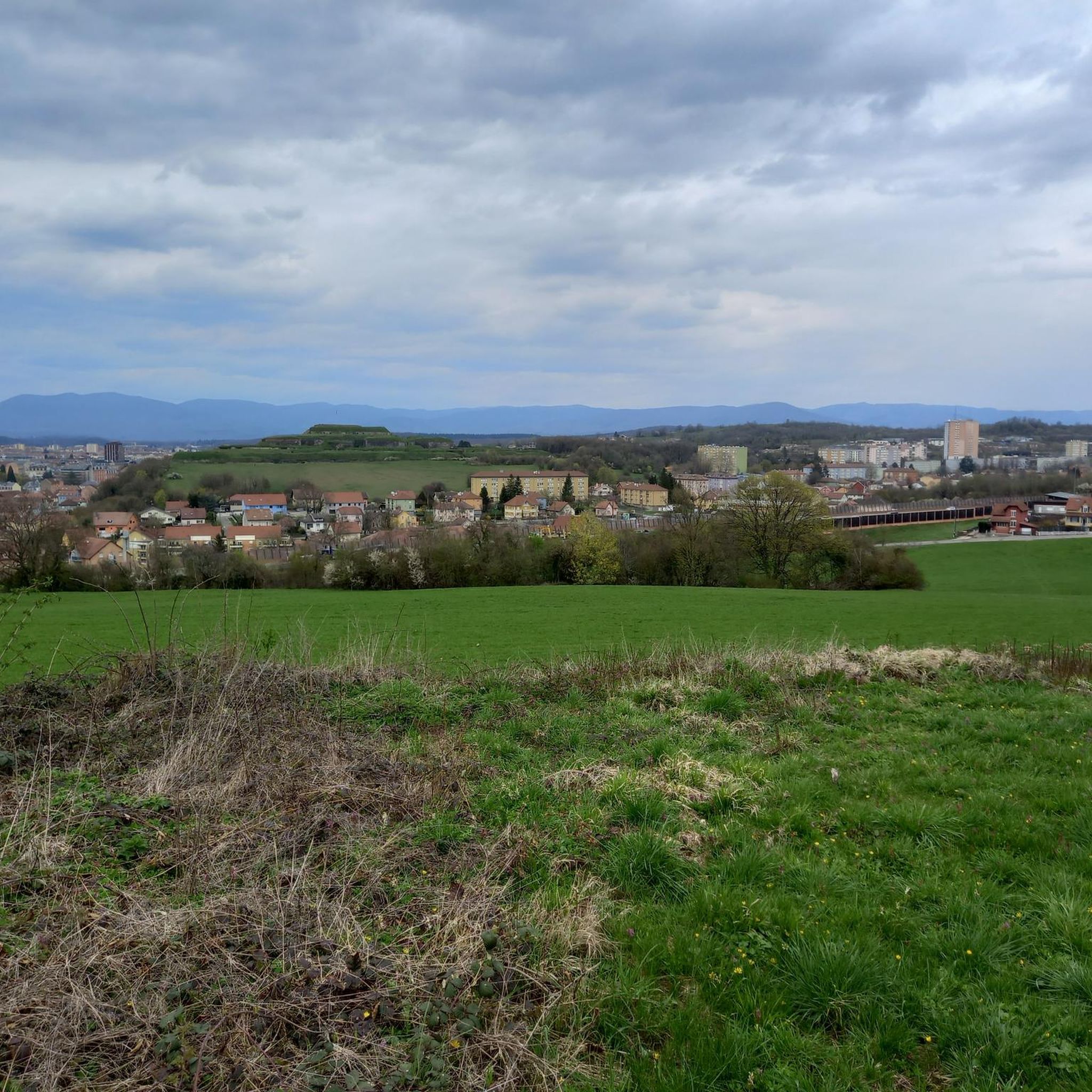
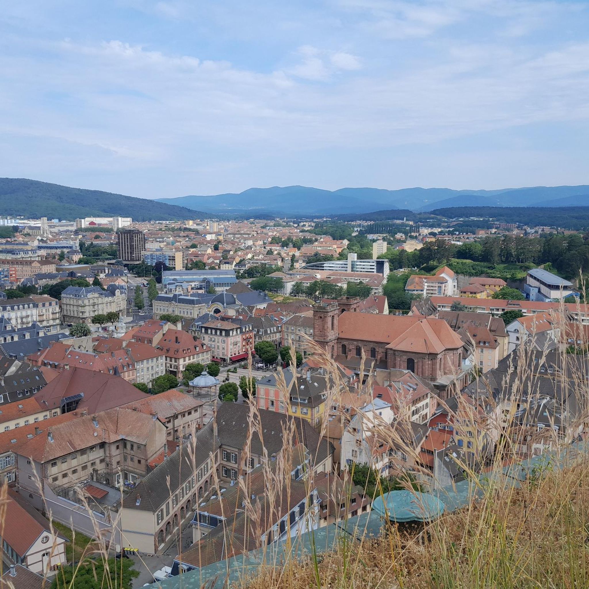
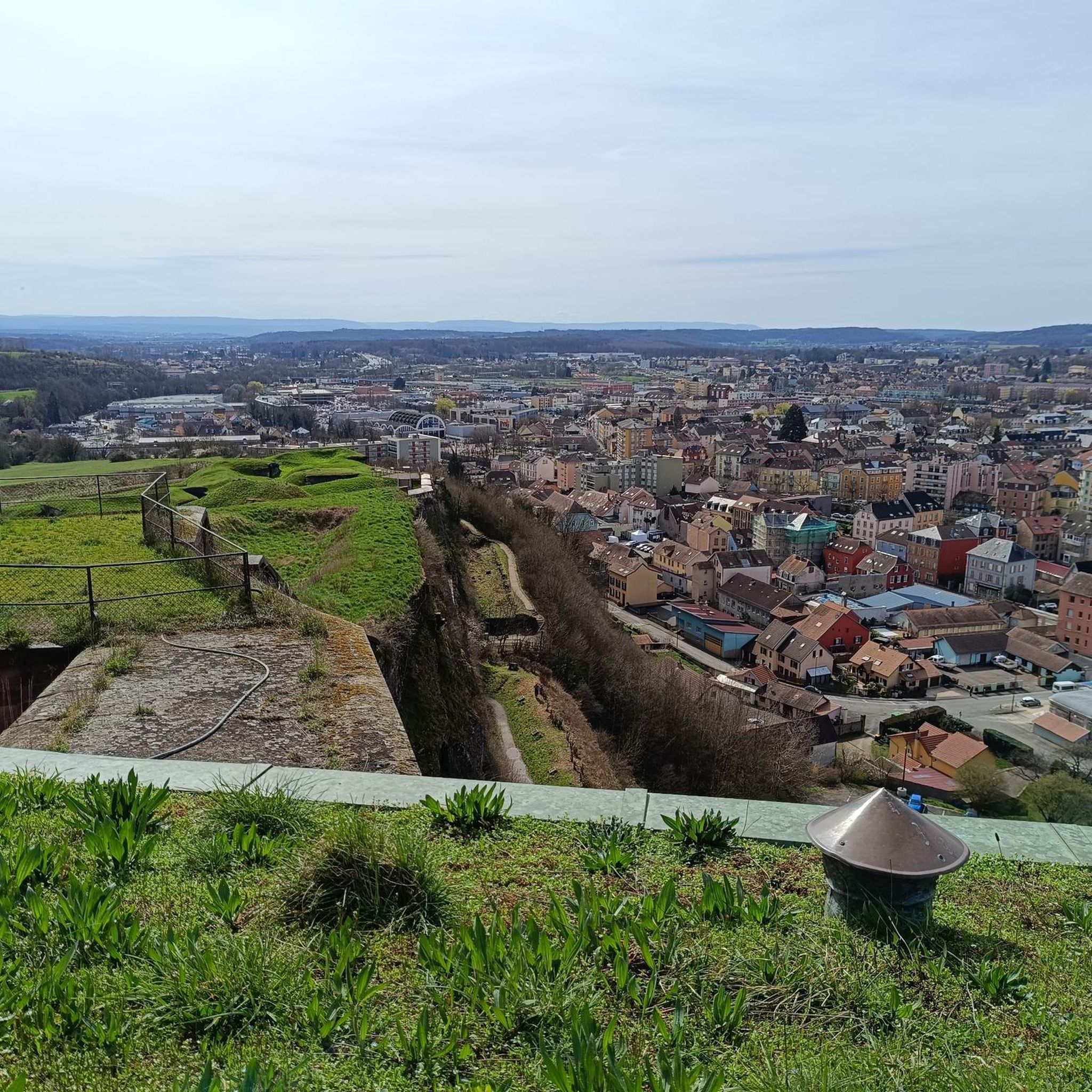
This historic city is dominated by the Fort du Mont Vaudois, an impressive 19th-century military structure. You can discover the remains of its 12th-century feudal castle, where a tower stands, classified as a Historic Monument since 1913.
0
0

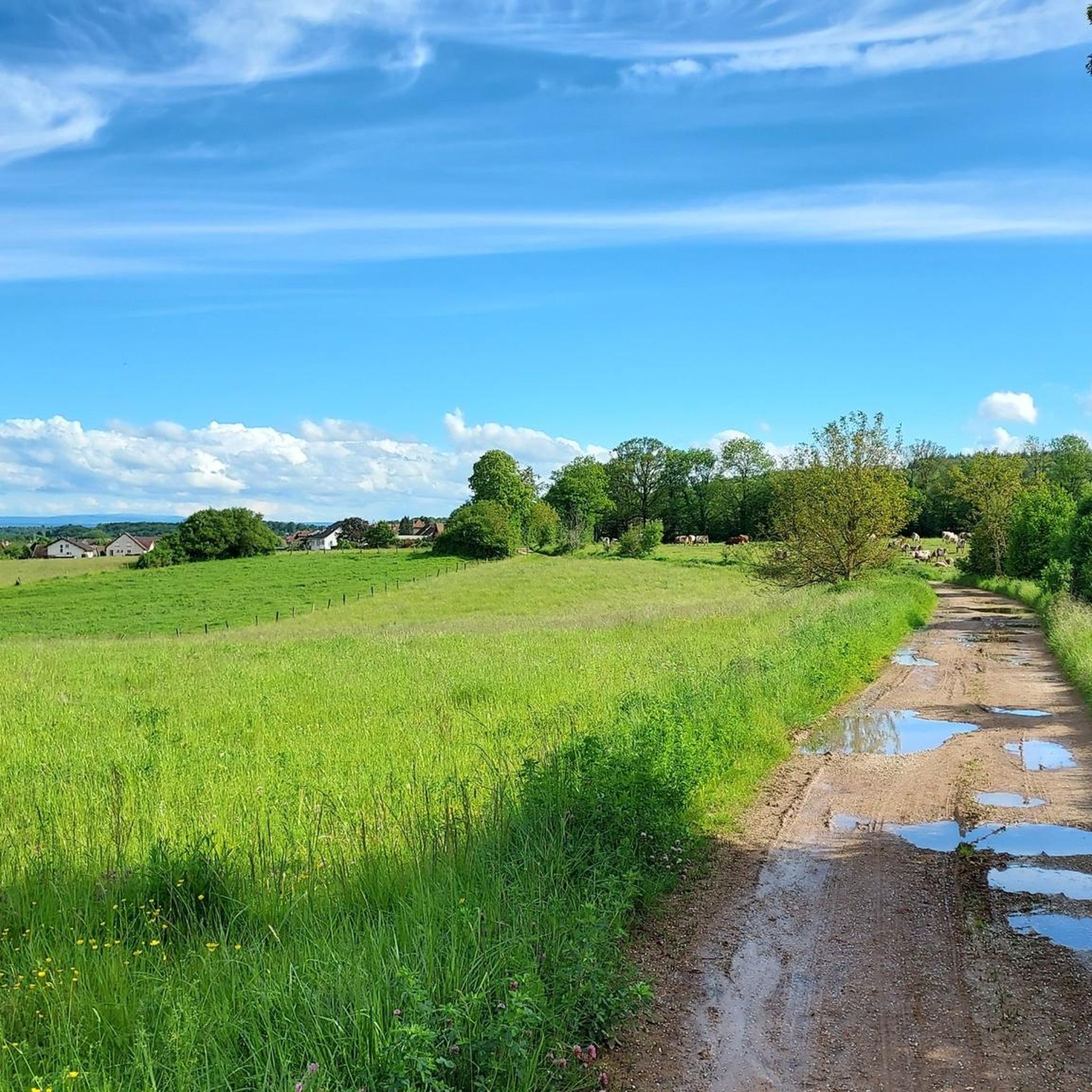
A beautiful green paradise between the highway and the city. The birdsong even drowns out the highway noise.
0
0

A beautiful strip of nature with waters and wet meadows, between the motorway and the city, for relaxation and enjoyment of nature.
3
0

Very nice cycle path
0
0

Well done for sharing this knowledge and thank you for taking the time to share it with us.
0
0

Héricourt Castle, dating from the 12th century, is classified as a Historic Monument. It hosts exhibitions and events that highlight local heritage.
0
0
Children's play areas, picnic areas and walking trails... Lizaine Park is perfect for a moment of relaxation in a magnificent setting!
0
0

This reserve, classified since 2008, helps protect the main bed of the Savoureuse, a river which crosses Montbéliard and Belfort. It helps preserve wetlands and the many species that live there, ranging from birds to amphibians. So, you may see gray woodpeckers, black kites or even kingfishers.
0
0
Frequently Asked Questions
How many running routes are available around Urcerey?
Urcerey offers a wide selection of running routes, with nearly 400 different paths available. These routes cater to various preferences, from easy strolls to more challenging runs through diverse landscapes.
What are the difficulty levels of the jogging paths in Urcerey?
The jogging paths around Urcerey cater to all fitness levels. You'll find 28 easy routes perfect for a relaxed run, 298 moderate trails for a good workout, and 67 more difficult options for experienced runners seeking a challenge.
What do other runners say about the trails in Urcerey?
The running trails in Urcerey are highly regarded by the komoot community, boasting an average rating of 4.5 stars from over 190 reviews. Runners frequently praise the varied terrain, from forest paths to agricultural lands, and the scenic beauty of the region.
Are there any circular running routes near Urcerey?
Yes, Urcerey and its surroundings offer several excellent circular running routes. For example, the Running loop from Bavilliers is a popular moderate 5.2-mile (8.5 km) option that provides a pleasant circuit through the local area. Another great choice is Running loop from Mandrevillars, a moderate 3.1-mile (5 km) route.
Can I find easy or beginner-friendly jogging paths in Urcerey?
Absolutely! Urcerey has 28 easy running routes, making it a great place for beginners or those looking for a relaxed jog. These paths often traverse agricultural lands and less challenging forest sections, providing a gentle introduction to the region's natural beauty.
Are there running routes with scenic views in Urcerey?
Many running routes in Urcerey offer picturesque scenery. The region is characterized by a mix of agricultural fields and dense forests, providing diverse and beautiful backdrops for your run. The proximity to the Parc Naturel Régional des Ballons des Vosges also means access to trails with expansive views over plateaus and through natural landscapes.
What natural features or landmarks can I see while running in Urcerey?
While running in Urcerey, you might encounter interesting natural features such as the 'Trou Gavaillot', a resurgence linked to the calcareous soil, hinting at underground rivers. The broader region, including nearby Écurcey, also features tranquil natural settings like the Bisontin Cave, Doue Spring, and Pont Sarrazin Natural Arch. You can also explore the Savoureuse Valley Nature Reserve or the serene Véronne Pond.
Are there any historical sites or points of interest along the running trails?
Yes, the area around Urcerey has several historical points of interest. The 'Boucle de Urcerey' trail, for instance, passes by the 'Fort de l'Ouvrage de la Côte'. Further afield, you can visit the impressive Citadel of Belfort or the historic Fort Senarmont, Bessoncourt. These sites offer a glimpse into the region's rich heritage.
Are there any dog-friendly running trails in Urcerey?
Many of the natural trails and forest paths around Urcerey are suitable for running with dogs, provided they are kept under control. The rural setting with extensive forest cover and agricultural lands offers plenty of space for you and your canine companion to enjoy a run together. Always check local regulations regarding dogs on trails.
What are the best times of year to go running in Urcerey?
Urcerey is enjoyable for running throughout much of the year. Spring and autumn offer pleasant temperatures and beautiful scenery with blooming flowers or vibrant fall foliage. Summer is also great, especially for shaded forest trails. Winter running is possible, but be mindful of potential snow or ice on paths, particularly in the higher elevations of the nearby Vosges.
Are there running routes in Urcerey that offer parking?
Yes, many running routes in and around Urcerey have accessible parking options, especially those starting from villages or designated trailheads. While specific parking details vary by route, the rural nature of the area generally makes finding parking relatively straightforward near popular starting points.
Is public transport accessible for reaching jogging trails in Urcerey?
Urcerey is a rural commune, so public transport options might be limited compared to larger towns. It's advisable to check local bus schedules or regional transport services if you plan to rely on public transport to reach specific trailheads. Driving to the starting points of routes is often the most convenient option.
Most popular attractions around Urcerey

Get inspired with the komoot mobile app


Explore more
Browse the best Running Trails & Routes in other regions.
