The best gravel rides around Les Poulières
3.5
(7)
33
riders
7
rides
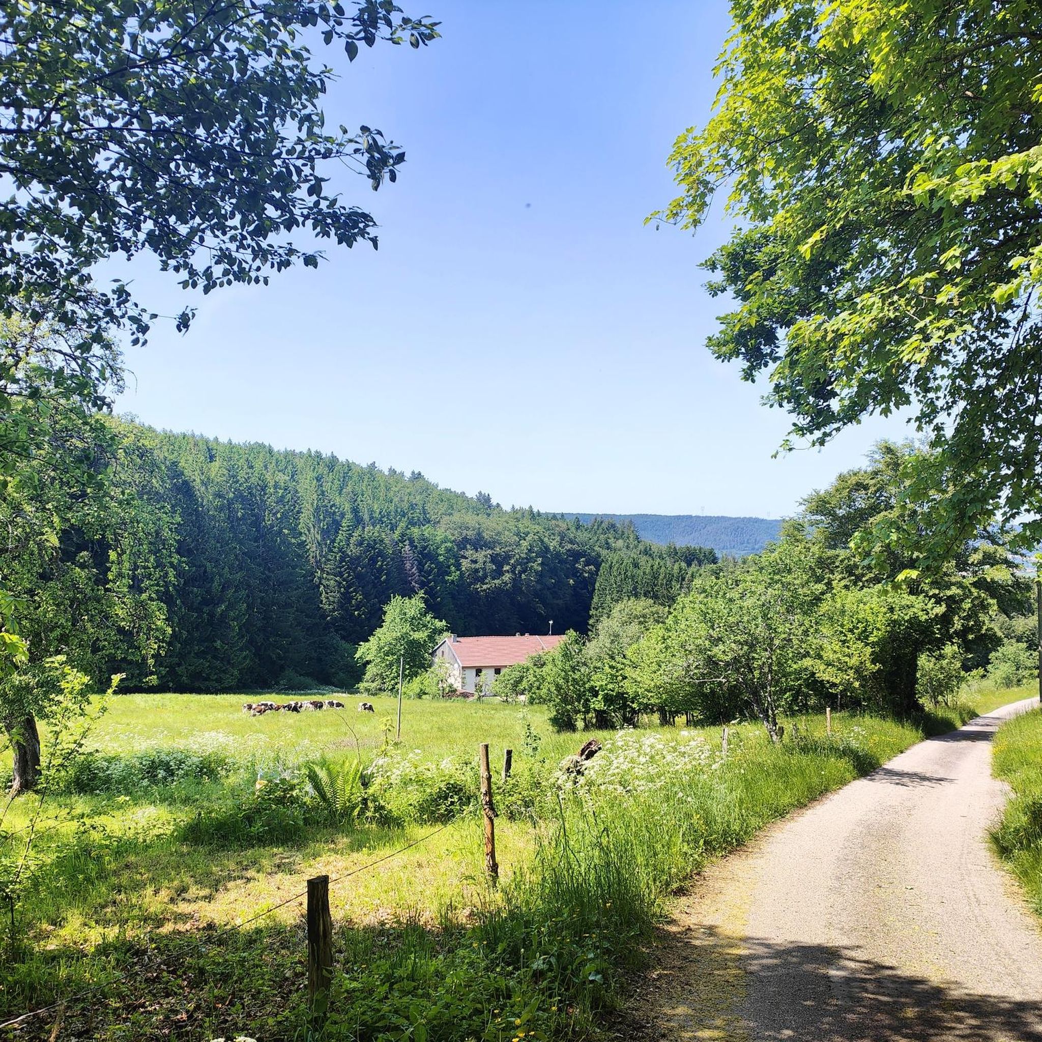
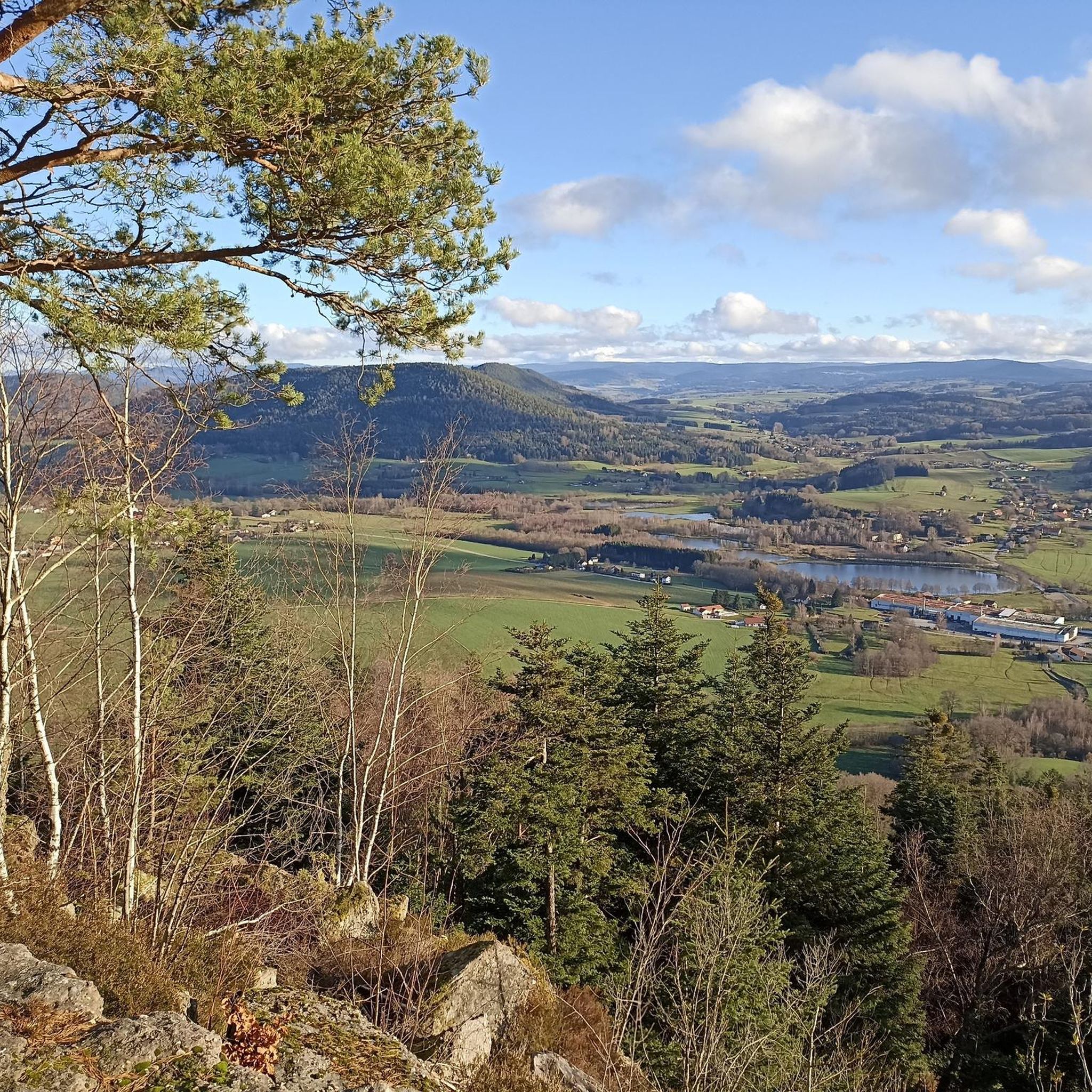
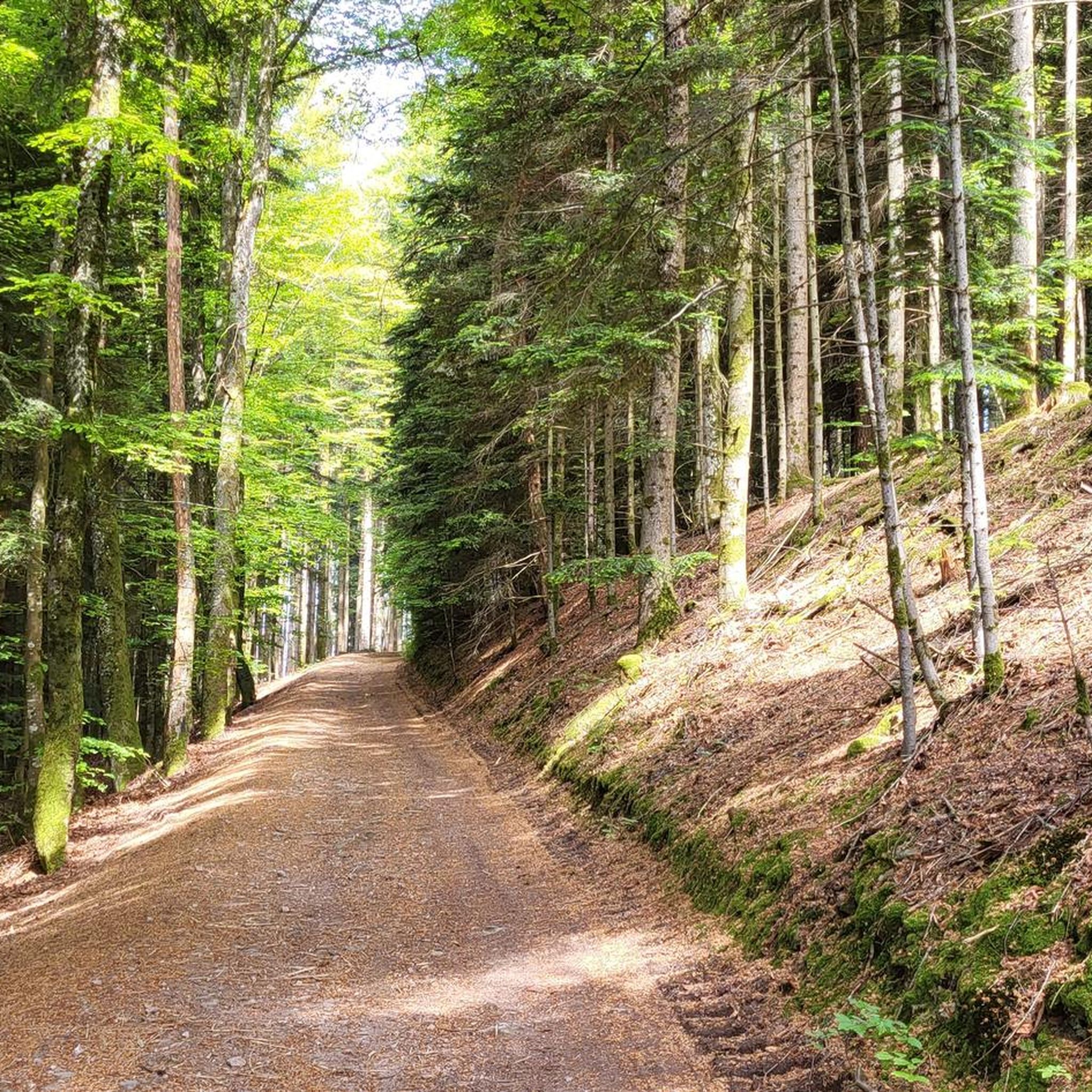
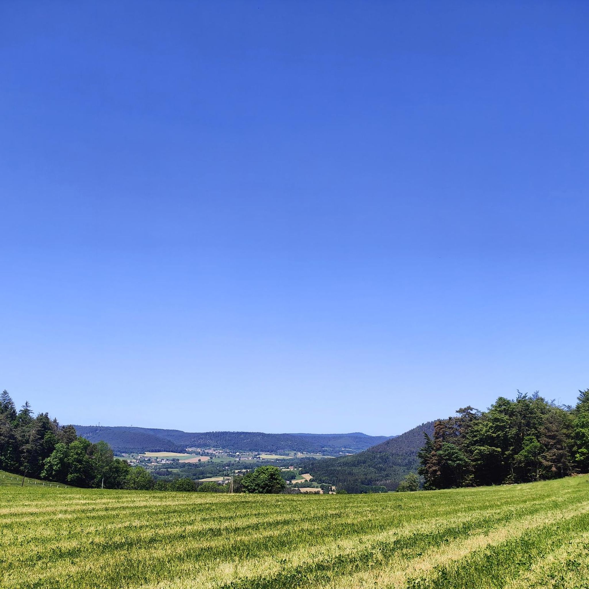
Gravel biking around Les Poulières offers routes through a landscape characterized by mountain passes, dense forests, and views of lakes. The region's terrain includes varied elevations, with climbs leading to cols and ridge roads. Gravel bike trails near Les Poulières often traverse the foothills of the Vosges, providing a mix of challenging ascents and scenic descents. This area is suitable for gravel cyclists seeking routes with significant elevation changes and natural surroundings.
Best gravel bike trails around Les Poulières
- The…
Last updated: October 5, 2026
9
riders
30.2km
02:02
450m
450m
Moderate gravel ride. Good fitness required. Mostly paved surfaces. Suitable for all skill levels.
3.5
(2)
9
riders
Moderate gravel ride. Good fitness required. Mostly paved surfaces. Suitable for all skill levels.

2
riders
27.5km
02:04
510m
510m
Hard gravel ride. Very good fitness required. Mostly paved surfaces. Suitable for all skill levels.
3.0
(2)
2
riders
24.1km
01:57
580m
580m
Hard gravel ride. Very good fitness required. Mostly paved surfaces. Suitable for all skill levels.
3.0
(1)
4
riders
19.6km
01:38
480m
490m
Hard gravel ride. Very good fitness required. Mostly paved surfaces. Suitable for all skill levels.
Get access to more routes and recommendations from other explorers.
Already have an account?
Our route recommendations are based on thousands of hikes, rides, and runs completed by other people on komoot.
Start today with a free account
Your next adventure awaits.
Tips from the Community

In the village of Prey near Lépanges sur Vologne on the Route de Fiménil to Firménil, there is this drinking water fountain with cool water.
0
0

Also serves coffee for great prices
0
0

Fine as part of a route from Gerardmeer
1
0
Lake where you can swim and fish. Or just cycle along, of course
2
0

Small lake formed from the Le Rayrand river. It is a very nice place to stop for a break and enjoy the view.
2
0
The Col d'Arrentes from Corcieux is 3.4 km long with a total drop of 682 m. The average gradient is 4.1% with maximum gradients of 7%.
4
0

Easy pass with little traffic and a very beautiful panorama over the Corcieux valley
0
0

Very nice campsite on the Lac de Messires. Quite small, from Dutch owners. No animation or swimming pool scenes, but nice SUPing, canoeing or swimming in the lake. We had a wonderful time there.
1
0
Frequently Asked Questions
How many gravel bike trails are there in Les Poulières?
There are 10 gravel bike trails available around Les Poulières. These routes traverse a landscape of mountain passes, dense forests, and offer views of lakes, providing a varied experience for cyclists.
What kind of scenery can I expect on gravel bike trails around Les Poulières?
Gravel bike trails in Les Poulières are characterized by significant elevation changes, leading through the foothills of the Vosges. You can expect to encounter mountain passes, extensive forested sections, and ridge roads, often with views towards lakes like Lake Lispach.
Are there easy gravel bike trails suitable for beginners in Les Poulières?
While many routes feature significant climbs, there are moderate options available. For instance, the Ant Mountain – I See Life in Vosges loop from Laveline-devant-Bruyères is a moderate 18.8-mile (30.2 km) path that winds through varied terrain, suitable for those looking for a less strenuous ride than the more difficult ascents.
What options are available for advanced gravel cyclists seeking a challenge?
Advanced gravel cyclists will find several challenging routes. The Col de Bramont – La route des crêtes loop from Corcieux is a difficult 70.5-mile (113.5 km) trail with substantial elevation gain, leading through mountain passes and ridge roads. Another demanding option is the Climb Col de Grosse Pierre – View of Lake Lispach loop from Corcieux, which is 40.2 miles (64.7 km) with significant climbs.
Are there circular gravel bike routes around Les Poulières?
Yes, many of the gravel bike trails in Les Poulières are designed as loops. Examples include the Camping Domaine de Messires – Church loop from La Chapelle-devant-Bruyères, a moderate 20.7-mile (33.3 km) route, and the Arrentes Pass – Nice View on the Vogese loop from Corcieux, a difficult 27.5-mile (44.3 km) trail.
What is the typical length of gravel bike trails in Les Poulières?
The gravel bike trails around Les Poulières vary significantly in length. You can find routes ranging from moderate 18.8-mile (30.2 km) loops to challenging 70.5-mile (113.5 km) expeditions, catering to different endurance levels and time commitments.
What is the best season for gravel biking in Les Poulières?
The best season for gravel biking in Les Poulières is typically from late spring through early autumn (May to October). During these months, the weather is generally milder, and the trails are less likely to be affected by snow or heavy rain, making for more enjoyable riding conditions through the Vosges foothills.
Are there any interesting natural landmarks or attractions along the gravel bike trails?
Yes, the region offers several natural attractions. You might encounter the unique rock formations at Champ de Roches or traverse the scenic Arrentes Pass. The trails also often follow or cross natural water features like the Ruisseau de la Gaule.
What do other gravel bikers enjoy the most about gravel biking in Les Poulières?
The area is highly rated by the komoot community, with an average score of 3.8 stars from over 5 reviews. Reviewers often praise the diverse terrain, the challenging climbs leading to panoramic views, and the immersive experience of riding through the dense forests and mountain passes of the Vosges.
Can I expect to see wildlife while gravel biking in Les Poulières?
Given the region's dense forests and natural surroundings in the Vosges foothills, there is a good chance of encountering local wildlife. Keep an eye out for deer, wild boar, and various bird species, especially during quieter times of the day or on less frequented trails.
Is there parking available near the gravel bike trails in Les Poulières?
While specific parking information for each trailhead is not always detailed, many routes start from or pass through villages like Corcieux or Laveline-devant-Bruyères, where public parking is generally available. It's advisable to check local maps or komoot tour details for specific starting points.
Are there any gravel bike trails in Les Poulières with cafe stops or places to refuel?
Many routes in Les Poulières pass through or near small villages in the Vosges region. While not every trail has a dedicated cafe stop directly on the path, you can often find bakeries, small shops, or cafes in the towns at the start or end of a loop, such as Corcieux or Laveline-devant-Bruyères, where you can refuel.
Most popular routes around Les Poulières
Most popular attractions around Les Poulières

Get inspired with the komoot mobile app


Explore more
Browse the best Gravel rides in other regions.
