The best walks and hikes around Les Poulières
4.5
(855)
3,425
hikers
113
hikes
Hiking around Les Poulières offers diverse landscapes within the Vosges Mountains, characterized by elevations ranging from 451 to 663 meters. The region features dense forests, winding roads, and the Neuné River flowing through its valley. Situated at the foot of the Regional Natural Park of Ballons des Vosges, the area provides varied terrain for outdoor activities.
Best hiking trails around Les Poulières
- The most popular hiking route is Roches de pointhaie – Pointhaie Rocks loop from Vervezelle, an easy…
Last updated: October 2, 2026
4.5
(11)
31
hikers
6.83km
01:58
170m
170m
Easy hike. Great for any fitness level. Easily-accessible paths. Suitable for all skill levels.
4.8
(16)
47
hikers
5.92km
01:41
140m
140m
Easy hike. Great for any fitness level. Easily-accessible paths. Suitable for all skill levels.

4.5
(8)
34
hikers
15.3km
04:11
240m
240m
Moderate hike. Good fitness required. Easily-accessible paths. Suitable for all skill levels.
4.7
(7)
27
hikers
13.2km
03:46
310m
310m
Moderate hike. Good fitness required. Easily-accessible paths. Suitable for all skill levels.
4.8
(5)
11
hikers
Moderate hike. Good fitness required. Easily-accessible paths. Suitable for all skill levels.
Get access to more routes and recommendations from other explorers.
Already have an account?
Our route recommendations are based on thousands of hikes, rides, and runs completed by other people on komoot.
Start today with a free account
Your next adventure awaits.
Tips from the Community

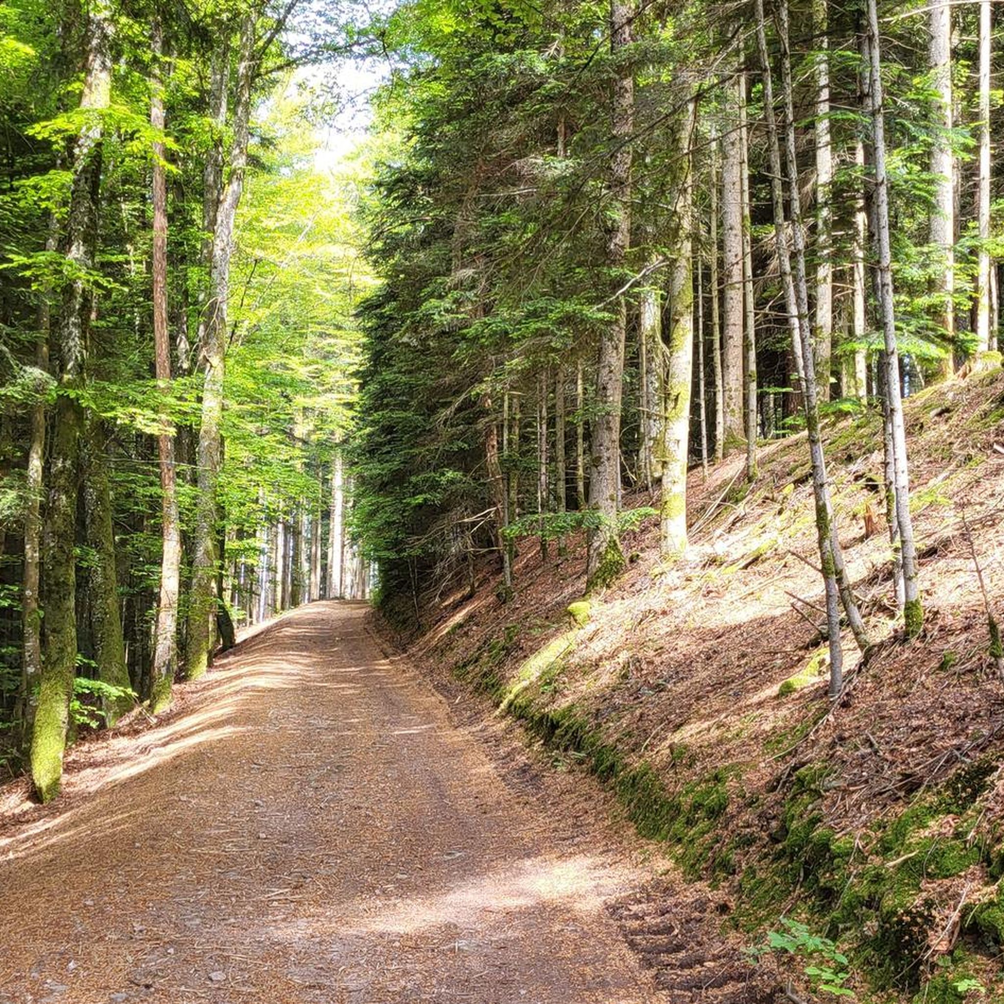
No view, but lots of trees :-)
2
0

Gite and chalet rental in a superb area
0
0

A beautiful pond to run around in, with some eye-catching wooden carvings.
3
0
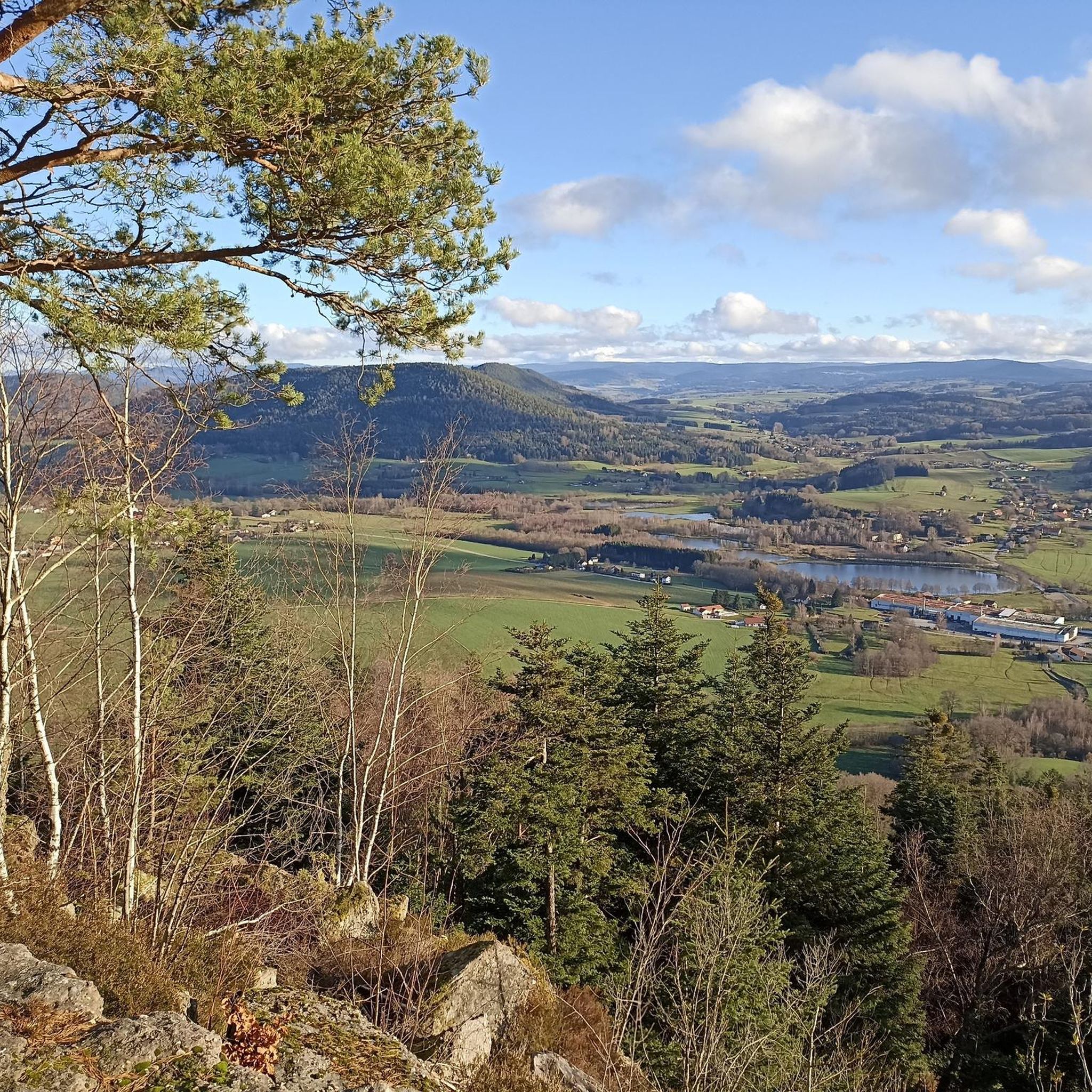
These sandstone rocks are 15 meters high and the view from the top of these rocks is magnificent.
4
0
These sandstone rocks are 15 meters high and the view from the top of these rocks is magnificent.
4
0

After little average claim you'll Get a terrific view
1
0


Very nice campsite on the Lac de Messires. Quite small, from Dutch owners. No animation or swimming pool scenes, but nice SUPing, canoeing or swimming in the lake. We had a wonderful time there.
1
0
Frequently Asked Questions
What kind of terrain can I expect when hiking around Les Poulières?
Les Poulières is situated within the Vosges Mountains, offering varied terrain with elevations ranging from 451 to 663 meters. You'll find dense, enchanting forests, winding roads, and the Neuné River flowing through the valley. The area is at the foot of the Regional Natural Park of Ballons des Vosges, providing a mix of mountainous and wooded landscapes.
Are there many easy hiking trails suitable for beginners in Les Poulières?
Yes, Les Poulières offers a good selection of easy trails. Out of nearly 100 routes, 38 are classified as easy. An example is the Hiking loop from La Chapelle-devant-Bruyères, which is 7.2 km long and takes about 2 hours.
Can I find circular hiking routes in the Les Poulières area?
Many of the trails around Les Poulières are designed as circular routes, allowing you to start and end at the same point. For instance, the Roches de pointhaie – Pointhaie Rocks loop from Vervezelle is an easy 5.9 km loop, and the Superb view of Les Poulieres – The most beautiful view loop from Les Poulières offers moderate challenge over 9.4 km.
What are some natural features or landmarks to look out for on hikes near Les Poulières?
The region is rich in natural beauty. You can explore the Champ de Roches, a unique natural monument, or enjoy the serene Ruisseau de la Gaule. The 'Col de l'Arnelle,' a forest passage at 624 meters altitude, is another point of interest. The area's dense forests and the Neuné River also provide picturesque scenery.
What do other hikers say about the trails in Les Poulières?
The trails in Les Poulières are highly regarded by the komoot community, with an average rating of 4.6 stars from over 500 reviews. Hikers often praise the varied scenery, the peaceful forest paths, and the well-maintained routes suitable for different skill levels.
Are there any longer, more challenging hikes available in Les Poulières?
Yes, for those seeking a moderate challenge, there are 59 routes available. The Camping Domaine de Messires loop from Laveline-devant-Bruyères is a 15.3 km moderate trail that takes around 4 hours to complete, leading through forested areas.
What is the best time of year to go hiking in Les Poulières?
Given its location in the Vosges Mountains and its dense forests, Les Poulières is beautiful throughout the warmer months, from spring to autumn. Spring brings lush greenery, while autumn offers vibrant foliage. Winter hiking is also possible, but conditions can be more challenging due to snow and ice, especially at higher elevations.
Are there any viewpoints along the hiking trails in Les Poulières?
Yes, several trails offer scenic viewpoints. The Superb view of Les Poulieres – The most beautiful view loop from Les Poulières is specifically named for its excellent vistas over the region.
Is Les Poulières a good destination for family-friendly hikes?
The abundance of easy and moderate trails, many of which are loops, makes Les Poulières suitable for family outings. The diverse landscapes, including forests and river valleys, offer engaging environments for children to explore. Always check the specific trail length and elevation to match your family's ability.
Are there options for parking near the trailheads in Les Poulières?
While specific parking information for each trailhead isn't always detailed, most rural hiking areas in France, including Les Poulières, typically offer designated parking spots or roadside parking near popular starting points. It's advisable to check local signage upon arrival.
Are there any rivers or lakes near Les Poulières that I can visit?
The Neuné River flows directly through the valley where Les Poulières is located, contributing to the area's natural charm. Additionally, the commune is conveniently close to significant lakes like Lac de Gérardmer (about 15 km away) and Lac de Longemer (about 19 km away), which offer further opportunities for lakeside walks and activities.
How many hiking trails are there in total around Les Poulières?
There are nearly 100 hiking trails available around Les Poulières, offering a wide range of options for different preferences and fitness levels. This includes 38 easy, 59 moderate, and 2 difficult routes.
Most popular routes around Les Poulières
Most popular attractions around Les Poulières

Get inspired with the komoot mobile app


Explore more
Browse the best Hikes in other regions.
