The best gravel rides around Wattwiller
4.6
(29)
395
riders
78
rides
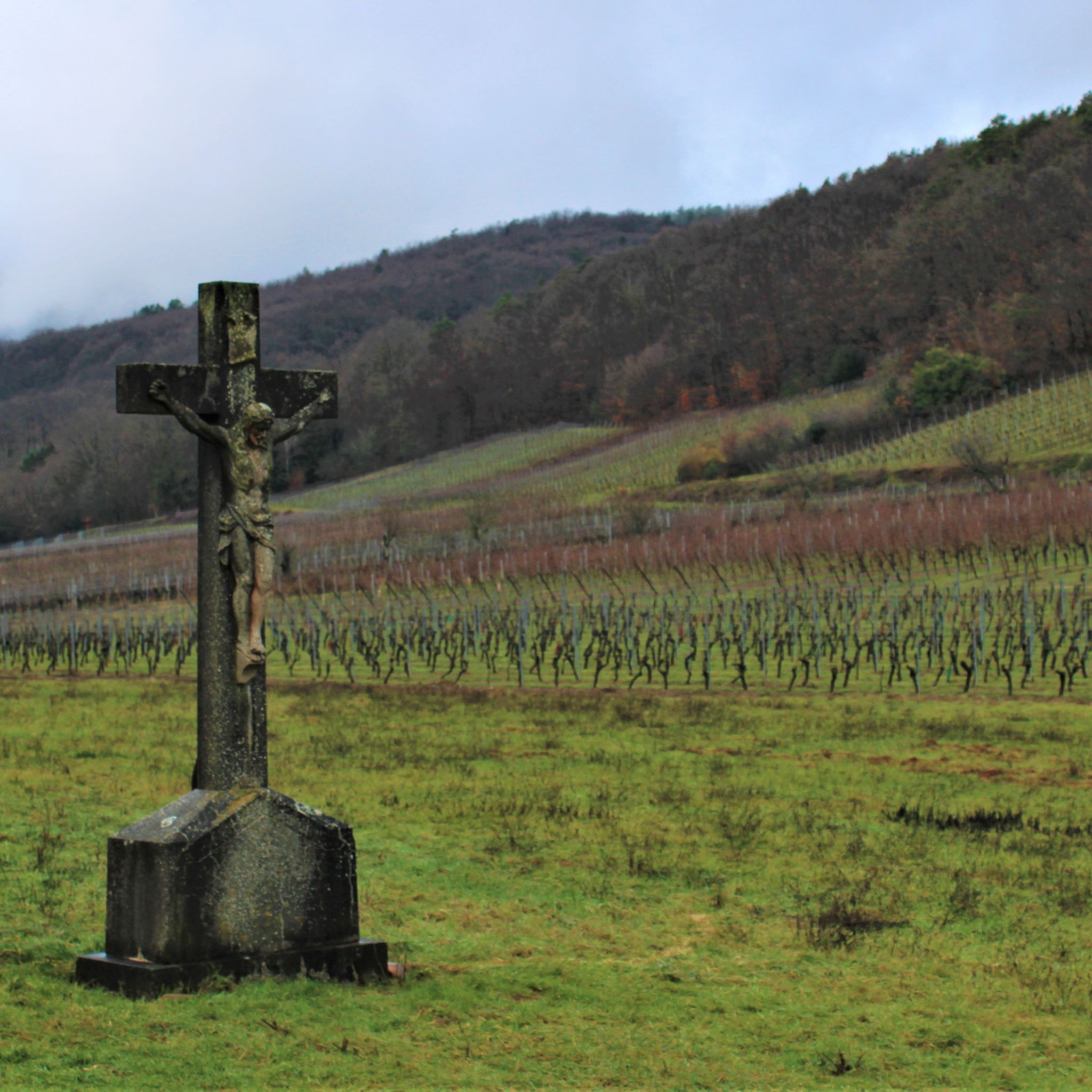
Gravel biking around Wattwiller offers diverse terrain at the foot of the Vosges Mountains in France's Grand Est region. The area is characterized by dense forests, verdant valleys, and wooded slopes, providing access to an extensive network of trails. Riders can explore varied landscapes, including vineyards and charming villages, with routes often featuring a mix of paved and unpaved segments. The Grand Ballon, the highest peak in the Vosges, is a prominent feature, offering significant elevation changes.
Best gravel bike trails around Wattwiller
- The most popular gravel bike trail is Col Amic Pass – Climb to Grand Ballon loop from Wattwiller, a 22.2 miles (35.7 km) trail that takes 2 hours 55 minutes to complete. This difficult route features significant elevation gain through mountain landscapes.
- Another top favourite among local gravel bikers is Grand Ballon – Col Amic Pass loop from Steinbach, a difficult 32.8 miles (52.7 km) path. This route offers challenging climbs and panoramic views across the Vosges.
- Local gravel bikers also love the Molkenrain - Cernay – Chapelle de la Loh loop from Cernay, a 15.9 miles (25.6 km) trail leading through forests and past historical points, often completed in about 1 hour 55 minutes.
- Gravel biking around Wattwiller is defined by wooded slopes, scenic ridge paths, and vineyards. The network offers options for various ability levels, from moderate to challenging, across its 80 routes.
- The routes in Wattwiller are highly rated by the komoot community with an average score of 4.5 stars from over 30 reviews. More than 400 gravel bikers have used komoot to explore Wattwiller's varied terrain.
Last updated: August 26, 2026
5.0
(2)
24
riders
16.9km
01:30
570m
570m
Hard gravel ride. Very good fitness required. Mostly paved surfaces. Suitable for all skill levels.
4.2
(6)
56
riders
52.7km
03:56
1,260m
1,260m
Hard gravel ride. Very good fitness required. Mostly paved surfaces. Suitable for all skill levels.

Sign up for free
3.7
(3)
38
riders
41.0km
02:51
790m
790m
Hard gravel ride. Very good fitness required. Mostly paved surfaces. Suitable for all skill levels.
4.8
(4)
74
riders
73.1km
05:11
1,500m
1,500m
Hard gravel ride. Very good fitness required. Mostly paved surfaces. Suitable for all skill levels.
10
riders
27.4km
02:14
710m
710m
Hard gravel ride. Very good fitness required. Mostly paved surfaces. Suitable for all skill levels.
Get access to more routes and recommendations from other explorers.
Sign up for free
Already have an account?
Our route recommendations are based on thousands of hikes, rides, and runs completed by other people on komoot.
Start today with a free account
Your next adventure awaits.
Login or Signup

Other adventures around Wattwiller

Tips from the Community

The 14th stage led up here to Le Haag and on to the finish at Le Markstein. You could experience the athletes up close.
0
0

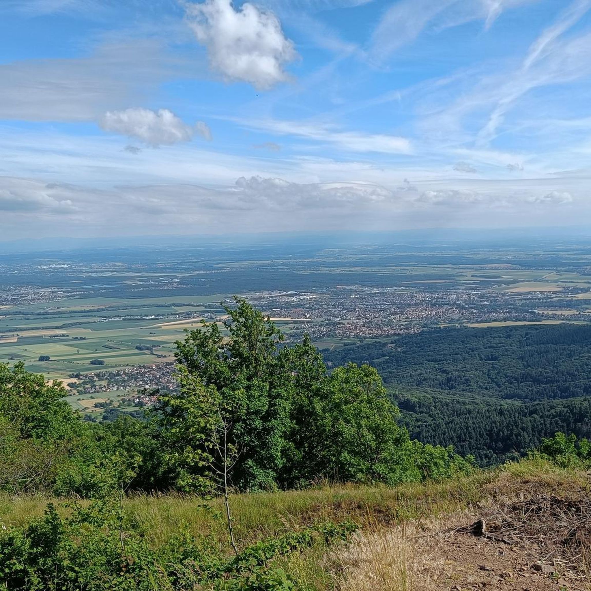
great view from up there
0
0
beautiful view there at the spot
0
0

The Tour de France passed through there on July 18, 2026.
2
0

Lovingly nicknamed "the Autobahn" by me, it leads from Geishouse up to the Col du Haag, and is designed so that there is rarely a gradient over 10%. The Tour de France also rides up here 😬
1
0

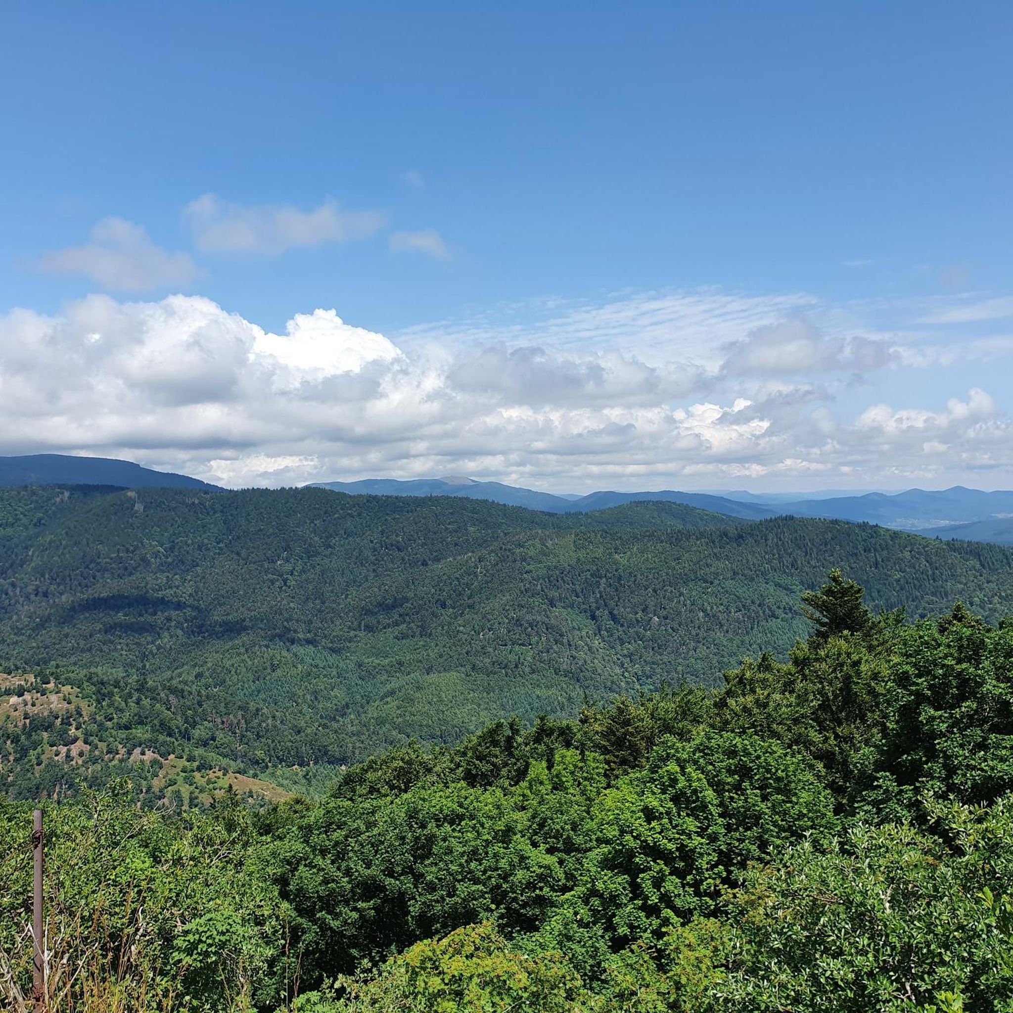
Great ascent route, away from the main roads, lots of forest = shade, moderate, steady climb between 6-9.5%, asphalt, few but great views
0
0

Great bike path, best asphalt, steep ramps
1
0
Frequently Asked Questions
How many gravel bike trails are available around Wattwiller?
There are over 80 gravel bike routes around Wattwiller, offering a wide range of options for different skill levels, from moderate to challenging.
What kind of terrain can I expect on gravel bike trails near Wattwiller?
Gravel biking around Wattwiller offers incredibly diverse terrain. You'll encounter a mix of paved and unpaved segments, traversing wooded slopes, dense forests, and scenic ridge paths. Many routes also pass through picturesque vineyards and charming Alsatian villages.
Are there challenging gravel routes for experienced riders?
Yes, Wattwiller is an excellent base for challenging gravel rides, particularly those involving significant elevation gain in the Vosges Mountains. Routes like the Grand Ballon – Hohneck loop from Cernay, for example, feature over 2,000 meters of ascent.
What are some notable natural landmarks or viewpoints I can see along the trails?
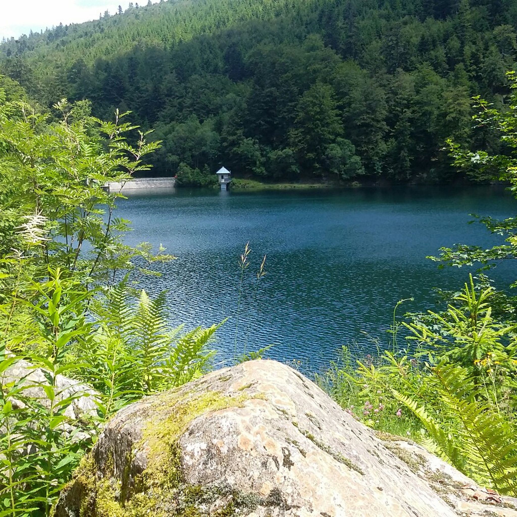
The region is rich in natural beauty. You can ride towards the Ballon Lake, a stunning glacial lake at the foot of the Grand Ballon. Many routes also offer panoramic vistas from various points, including the Viewpoint at the summit of Vieil Armand.
Are there any historical sites or attractions along the gravel routes?
Absolutely. The area is steeped in history. You might pass by the significant World War I battlefield of Hartmannswillerkopf National Monument. Routes also often lead through charming Alsatian villages and past historical landmarks like Romanesque churches or Murbach Abbey.
What is the best time of year for gravel biking in Wattwiller?
The mild climate of the Haut-Rhin department makes gravel biking enjoyable for much of the year. Spring and autumn offer pleasant temperatures and beautiful scenery, especially through the forests and vineyards. Summer is also great, with the forests providing welcome shade.
Are there any easy or beginner-friendly gravel routes around Wattwiller?
While many routes in the area are rated as difficult, there are options for less experienced riders. The network offers routes for various ability levels, so it's best to check the difficulty rating on individual tour pages to find one that suits your comfort level.
Can I find circular gravel bike routes in Wattwiller?
Yes, many of the gravel routes around Wattwiller are designed as loops, allowing you to start and finish in the same location. An example is the Ascent to Col Amic – Col Amic Pass loop from Wattwiller, which offers a challenging circular ride.
What do other gravel bikers enjoy most about the trails in Wattwiller?
The gravel routes in Wattwiller are highly rated by the komoot community, with an average score of 4.5 stars. Riders often praise the diverse terrain, the stunning mountain landscapes, and the mix of challenging climbs and scenic descents through forests and vineyards.
Are there places to stop for refreshments or food along the trails?
Yes, many routes pass through charming Alsatian villages where you can find cafes and restaurants. Additionally, you might encounter traditional 'Ferme Auberges' (country inns) along the trails, offering opportunities for refreshment and a taste of local culture.
Is public transport available to access gravel bike trails in Wattwiller?
Wattwiller is situated in a region with various transport options. While specific public transport access points for every trail vary, checking local bus or train schedules to nearby towns like Cernay or Thann, which are often starting points for routes, can be helpful. From there, you might need to cycle to the trailhead.
Where can I find parking for gravel biking in Wattwiller?
Wattwiller and surrounding villages typically offer public parking areas. For specific routes, it's advisable to check the starting point of your chosen tour on komoot, as many popular trailheads have designated parking facilities nearby.
Most popular routes around Wattwiller
Most popular attractions around Wattwiller

Get inspired with the komoot mobile app


Explore more
Browse the best Gravel rides in other regions.
