The best running trails around Wattwiller
4.5
(52)
964
runners
61
runs
Jogging routes around Wattwiller are set within the picturesque Ballons des Vosges Regional Nature Park, at the foot of the Vosges Mountains. The region is characterized by diverse landscapes, including dense forests, green valleys, and significant peaks such as the Grand Ballon and Molkenrain. Runners can explore varied terrain, from shaded forest paths to more challenging mountain ascents, offering a natural environment ideal for outdoor activities.
Best jogging routes around Wattwiller
- The most popular jogging route is View of the Countryside – Zeller Canteen loop from Wattwiller, a 10.8 miles (17.4 km) trail that takes 2 hours 15 minutes to complete. This difficult route provides expansive views of the surrounding countryside and forests.
- Another top favourite among local runners is Zeller Canteen – Boyau egg production loop from Wattwiller, a difficult 6.6 miles (10.6 km) path. This trail leads through dense forest and open sections.
- Local runners also love the Old Armand loop from Wattwiller, a 4.7 miles (7.6 km) trail leading through historical terrain near Hartmannswillerkopf, often completed in about 1 hour 19 minutes.
- Jogging around Wattwiller is defined by mountainous terrain, dense forests, and panoramic viewpoints. The network offers options for different ability levels, from moderate forest trails to difficult mountain challenges.
- The routes in Wattwiller are highly rated by the komoot community with an average score of 4.4 stars from over 30 reviews. More than 800 runners have used komoot to explore Wattwiller's varied terrain.
Last updated: August 21, 2026
3.6
(5)
70
runners
17.4km
02:15
760m
760m
Hard run. Very good fitness required. Mostly paved surfaces. Suitable for all skill levels.
4.2
(5)
56
runners
10.5km
01:30
590m
590m
Hard run. Very good fitness required. Mostly paved surfaces. Suitable for all skill levels.

Sign up for free
4.0
(1)
66
runners
29.7km
04:05
1,490m
1,490m
Hard run. Very good fitness required. Sure-footedness, sturdy shoes and alpine experience required.
4.7
(3)
41
runners
7.58km
01:00
350m
350m
Hard run. Very good fitness required. Mostly paved surfaces. Suitable for all skill levels.
4.0
(1)
44
runners
7.67km
01:20
550m
550m
Hard run. Very good fitness required. Mostly accessible paths. Some sure footedness required.
Get access to more routes and recommendations from other explorers.
Sign up for free
Already have an account?
Our route recommendations are based on thousands of hikes, rides, and runs completed by other people on komoot.
Start today with a free account
Your next adventure awaits.
Login or Signup


Other adventures around Wattwiller

Tips from the Community


The climb of the Col Amic from Soultz-Haut-Rhin is a beautiful and accessible climb in the Vosges, ideal for cyclists who love regularity and nature. The climb is 12.1 km long, bridges 559 meters of altitude and has an average gradient of 4.6%. The route winds through a quiet, wooded area and offers beautiful views of the Alsatian plain along the way. The summit is at 829 meters and forms a junction towards the Grand Ballon or the Hartmannswillerkopf massif. Thanks to its even profile, this climb is suitable for both recreational cyclists and athletic climbers.
7
0

A must-see place in the truest sense of the word, a whole page of French history lies before your eyes and reminds everyone that those who fought and died here did so for all of us...
0
0

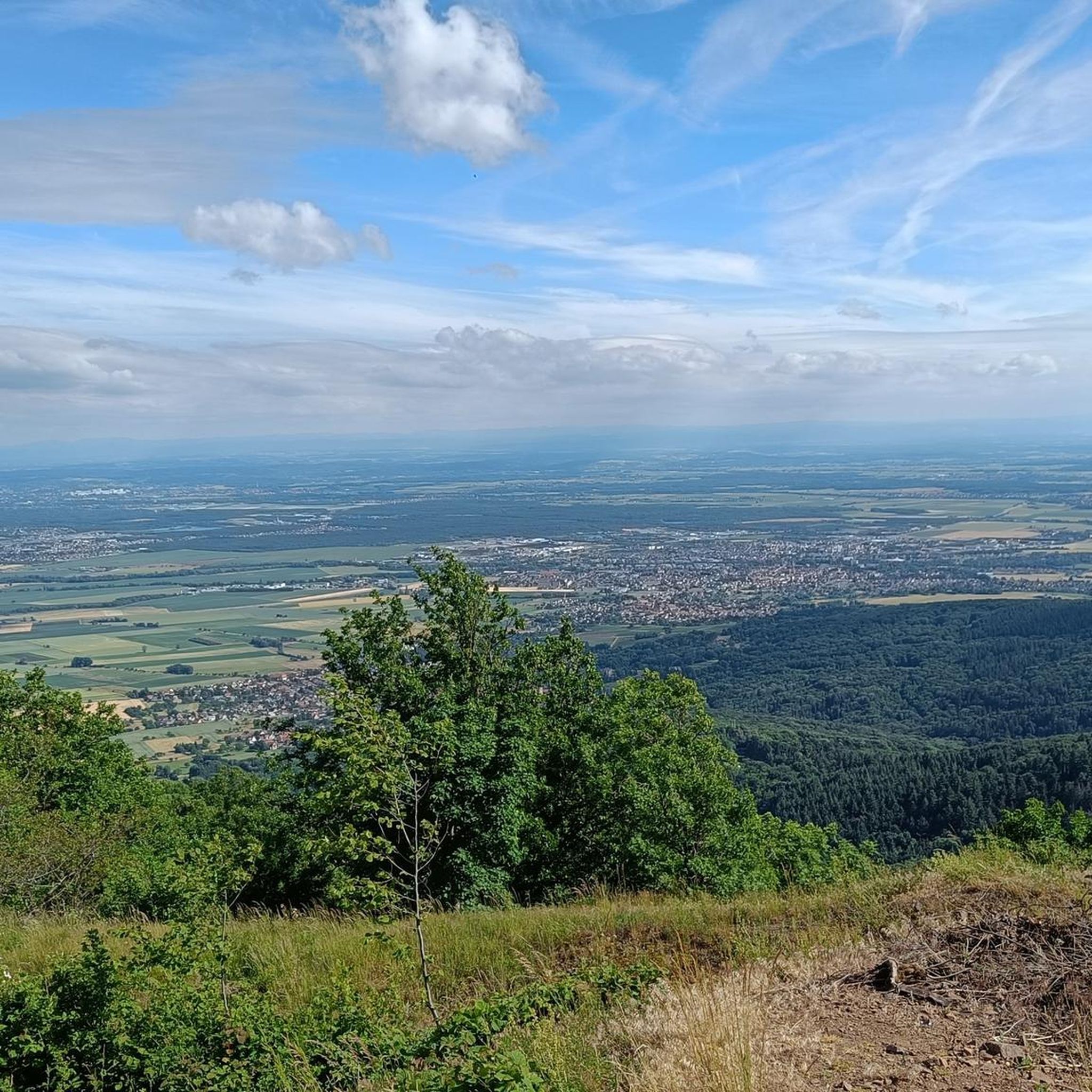
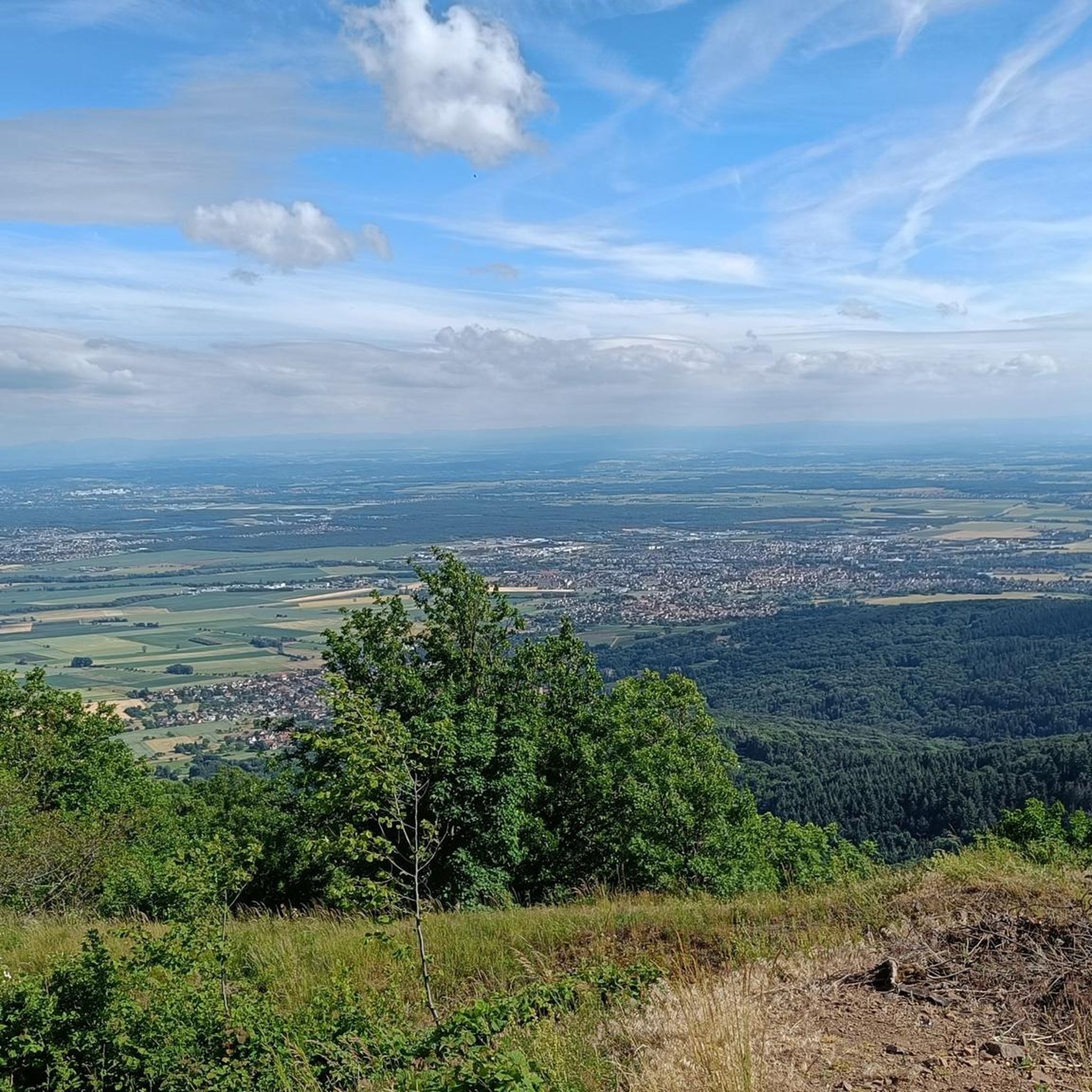
Magnificent views of the valleys and the opposite mountain ranges of the Vosges and fantastic vistas across the Rhine plain to the Black Forest and, in good weather, even to the snow-capped peaks of the Alps!
5
0

Magnificent view from up here. The climb is worth it.
0
0

Belongs on every bucket list. In good weather with extraordinary visibility.
5
0

Beautiful viewpoint that almost makes you forget the tragic history of this place.
2
0

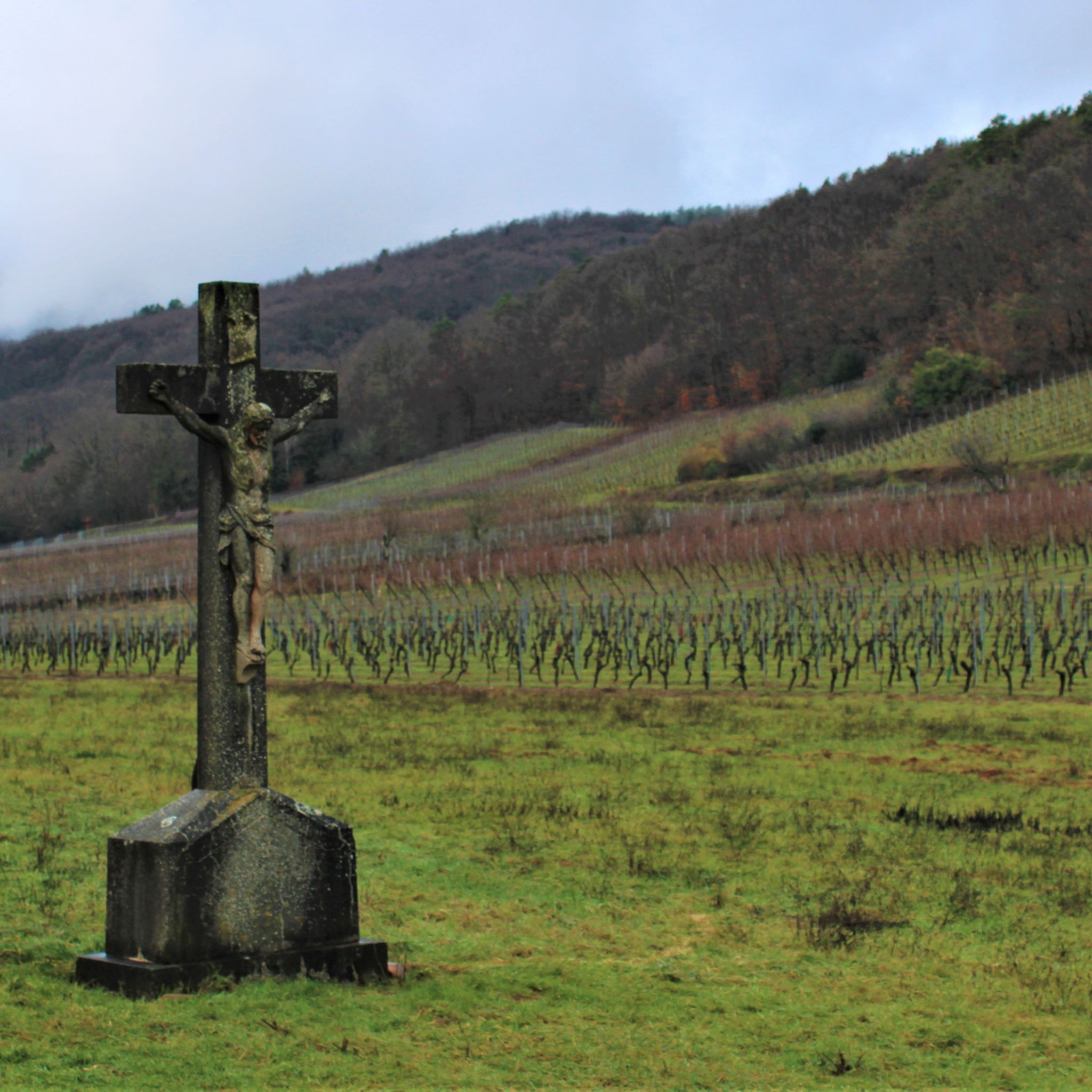
Another contemporary testimony from the First World War
2
1
Frequently Asked Questions
How many running routes are available around Wattwiller?
Wattwiller offers a wide selection of running routes, with over 50 trails documented on komoot. These routes cater to various fitness levels, including 3 easy, 24 moderate, and 32 difficult options, ensuring there's a path for every runner.
Are there any easy jogging routes suitable for beginners or families in Wattwiller?
While many routes in Wattwiller are challenging, there are a few easier options. The region's 'parcours sportif de Wattwiller' (sports course) and health walking routes are designed for more leisurely activity. For a specific route, you can explore the 3 easy trails available on komoot, which are generally well-suited for a gentler pace.
Can I find circular running routes in the Wattwiller area?
Yes, many of the running routes around Wattwiller are circular, allowing you to start and end in the same location. For example, the challenging Boyau egg production – Molkenrain Summit loop from Wattwiller is a popular circular option, covering 17.3 km with significant elevation gain. Another is the Zeller Canteen – Boyau egg production loop from Wattwiller, a 10.6 km trail through dense forest.
Are there any running trails that feature waterfalls or other natural attractions?
Absolutely! The region boasts natural gems like the Siehlbaechle waterfall, located amidst the forest on the heights of Wattwiller. There's an easy, shaded walk to this waterfall, with a variant that connects to a sports course. The area is also known for its natural mineral water springs, adding to the refreshing natural environment.
What kind of views can I expect on running routes around Wattwiller?
Running in Wattwiller offers breathtaking panoramic views. Trails often lead to viewpoints overlooking the Rhine Valley, the Black Forest, and even the Alps on clear days. The View of the Countryside – Zeller Canteen loop from Wattwiller is specifically known for its expansive vistas of the surrounding landscape and forests. Peaks like the Grand Ballon and Molkenrain also provide magnificent outlooks.
Are there any historical sites or landmarks along the running paths?
Yes, Wattwiller's routes often combine natural beauty with historical significance. The Hartmannswillerkopf (Vieil-Armand), a poignant WWI battlefield, is located at the foot of the Molkenrain mountains and can be explored as part of a run. You can find a specific route like the Old Armand loop from Wattwiller that takes you through this historic area. The Grand Ballon summit also hosts a monument to the 'Blue Devils' from WWI.
What do other runners say about the trails in Wattwiller?
The running routes in Wattwiller are highly regarded by the komoot community, with an average rating of 4.4 out of 5 stars from over 30 reviews. More than 800 runners have used komoot to explore the varied terrain, often praising the stunning natural beauty, challenging ascents, and well-maintained paths within the Ballons des Vosges Regional Nature Park.
Are there any long-distance running options for experienced athletes?
For experienced runners seeking a challenge, Wattwiller offers several demanding long-distance routes. The Grand Ballon – Grand Ballon loop from Wattwiller is a particularly strenuous option, covering nearly 30 km with significant elevation changes, leading to the highest peak in the Vosges. Other difficult routes like the Boyau egg production – Molkenrain Summit loop from Wattwiller also provide substantial distances and elevation.
Can I find places to eat or drink near the running routes?
While specific cafes directly on every route might vary, the region has options. For instance, the Gustiberg Farmhouse Inn is a highlight in the area, and the Grand Ballon Chalet Hotel offers facilities near the Grand Ballon summit. Many routes pass through or near villages where you can find refreshments.
What are the characteristics of the terrain for running in Wattwiller?
The terrain around Wattwiller is highly diverse, ranging from dense forests and green valleys to challenging mountainous ascents. You'll encounter shaded forest paths, ridge trails, and open sections with panoramic views. The region is part of the Vosges Mountains, so expect varied surfaces and significant elevation changes on many routes, especially those leading to peaks like the Grand Ballon and Molkenrain.
Are there any specific viewpoints or scenic spots I should look for while running?
Yes, the Wattwiller area is rich in scenic viewpoints. The Grand Ballon summit offers magnificent panoramic views extending across the Rhine Valley and even to the Alps. The Molkenrain also provides splendid views of the Hartmannswillerkopf, the Vosges, the Alsace plain, and the Black Forest. Additionally, the Viewpoint at the Rehbrunnel shelter is another notable spot to take in the scenery.
Most popular routes around Wattwiller
Most popular attractions around Wattwiller

Get inspired with the komoot mobile app


Explore more
Browse the best Running Trails & Routes in other regions.
