The best gravel rides around Lully
4.2
(10)
61
riders
20
rides
Gravel biking around Lully offers a diverse landscape characterized by rolling hills, river valleys, and elevated plateaus. The region is situated near the foothills of the Alps, providing routes with varying elevation gains and scenic vistas. Riders can expect a mix of paved and unpaved surfaces, traversing agricultural areas and forested sections.
Best gravel bike trails around Lully
- The most popular gravel bike trail is Gravel loop from Douvaine, an easy 15.5 miles (25.0 km) trail that takes 1…
Last updated: May 22, 2026
12
riders
56.1km
04:18
1,330m
1,330m
Hard gravel ride. Very good fitness required. You may need to push your bike for some segments of this route.
7
riders
117km
07:08
970m
970m
Hard gravel ride. Very good fitness required. Mostly paved surfaces. Suitable for all skill levels.

Sign up for free
3.0
(3)
7
riders
17.7km
01:15
280m
280m
Moderate gravel ride. Good fitness required. Mostly paved surfaces. Suitable for all skill levels.
6
riders
29.8km
01:47
190m
190m
Moderate gravel ride. Good fitness required. Mostly paved surfaces. Suitable for all skill levels.
5.0
(1)
7
riders
41.0km
02:34
450m
450m
Moderate gravel ride. Good fitness required. Mostly paved surfaces. Suitable for all skill levels.
Get access to more routes and recommendations from other explorers.
Sign up for free
Already have an account?
Our route recommendations are based on thousands of hikes, rides, and runs completed by other people on komoot.
Start today with a free account
Your next adventure awaits.
Login or Signup
Tips from the Community

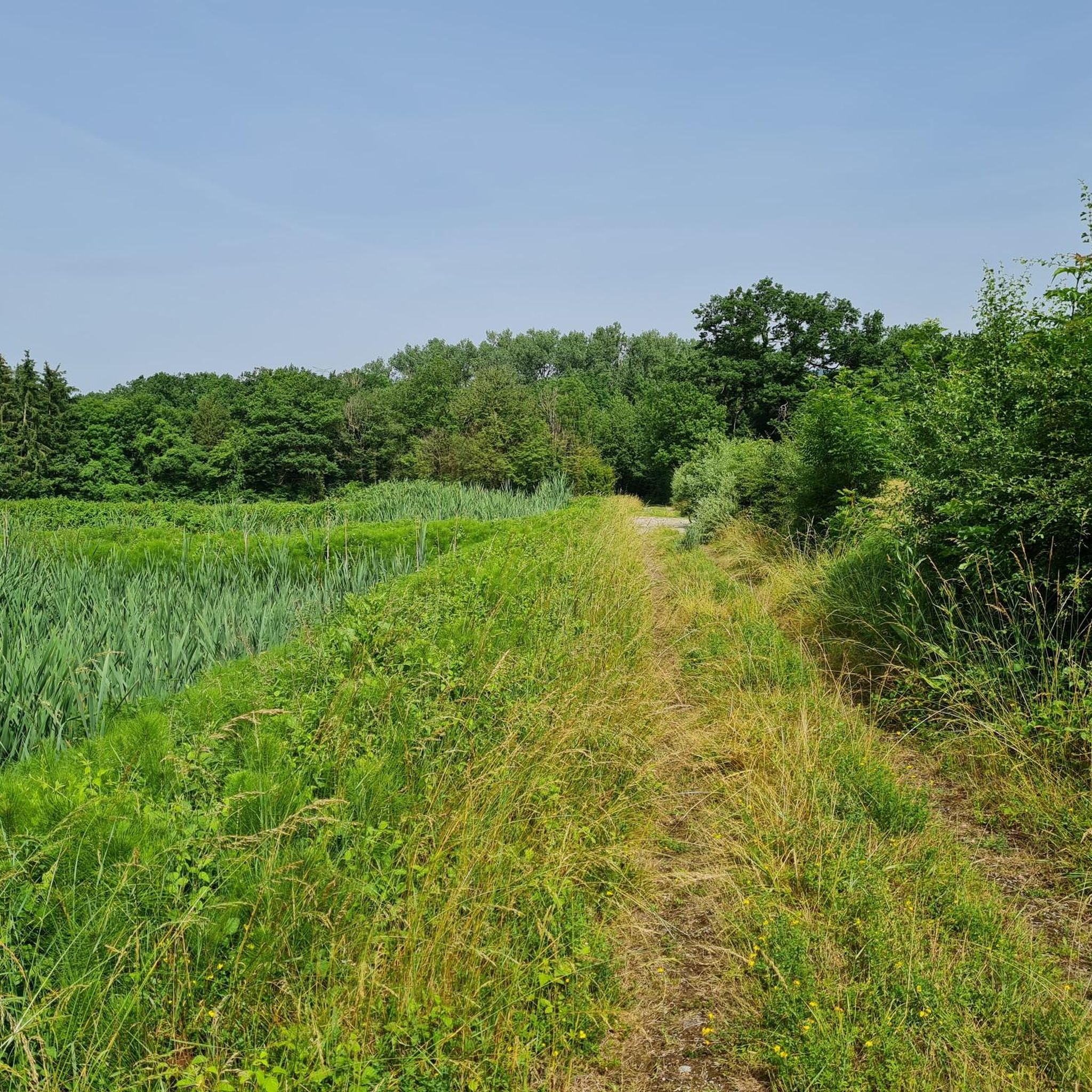
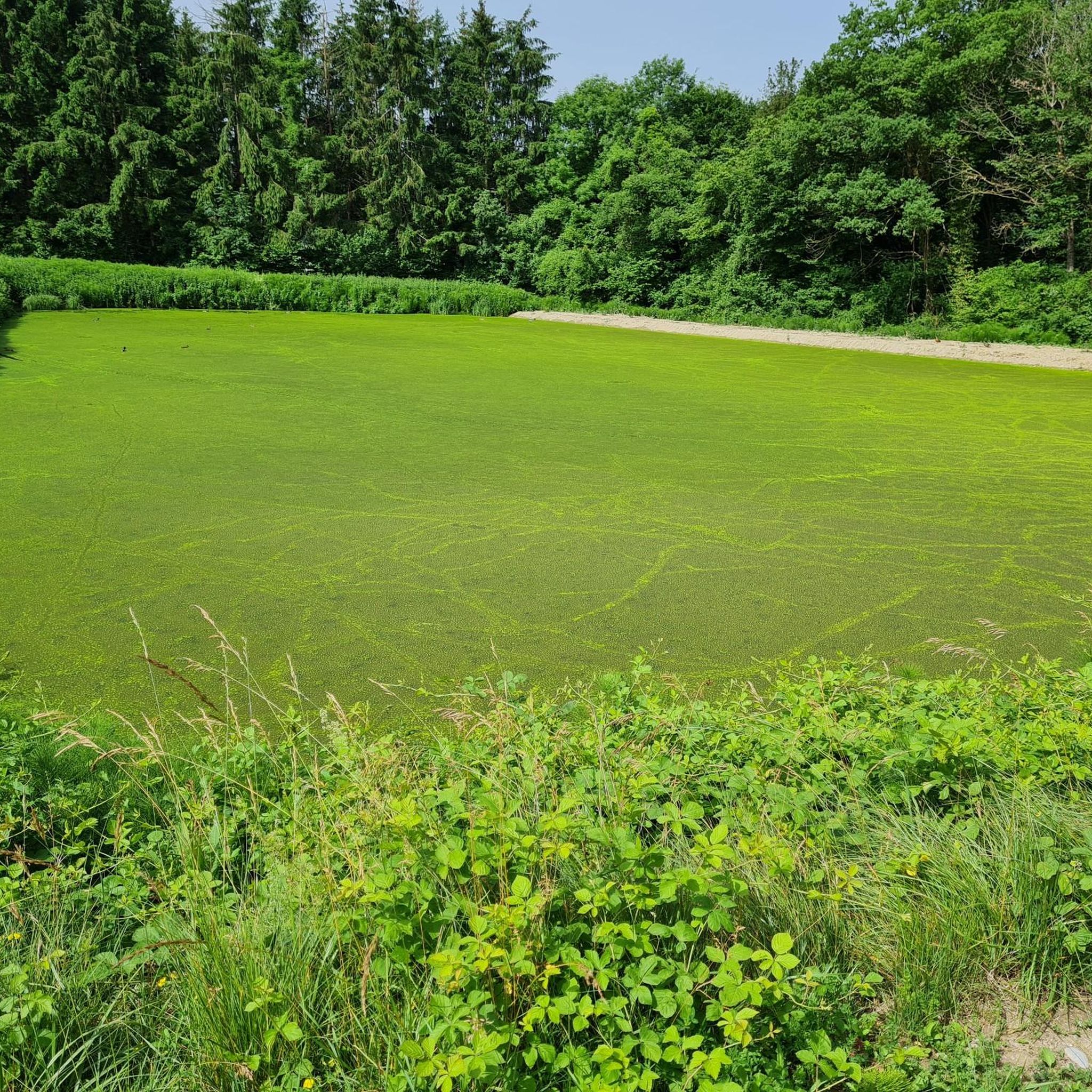
Take a little detour 🤩 beautiful lake!! Take a walk around it!
0
0


Intersection point Pont des Prés Altitude 766m
1
0
Intersection point Bois Pinget Altitude 754m
1
0

No bicycle access to the summit. Highest point of the road
0
0

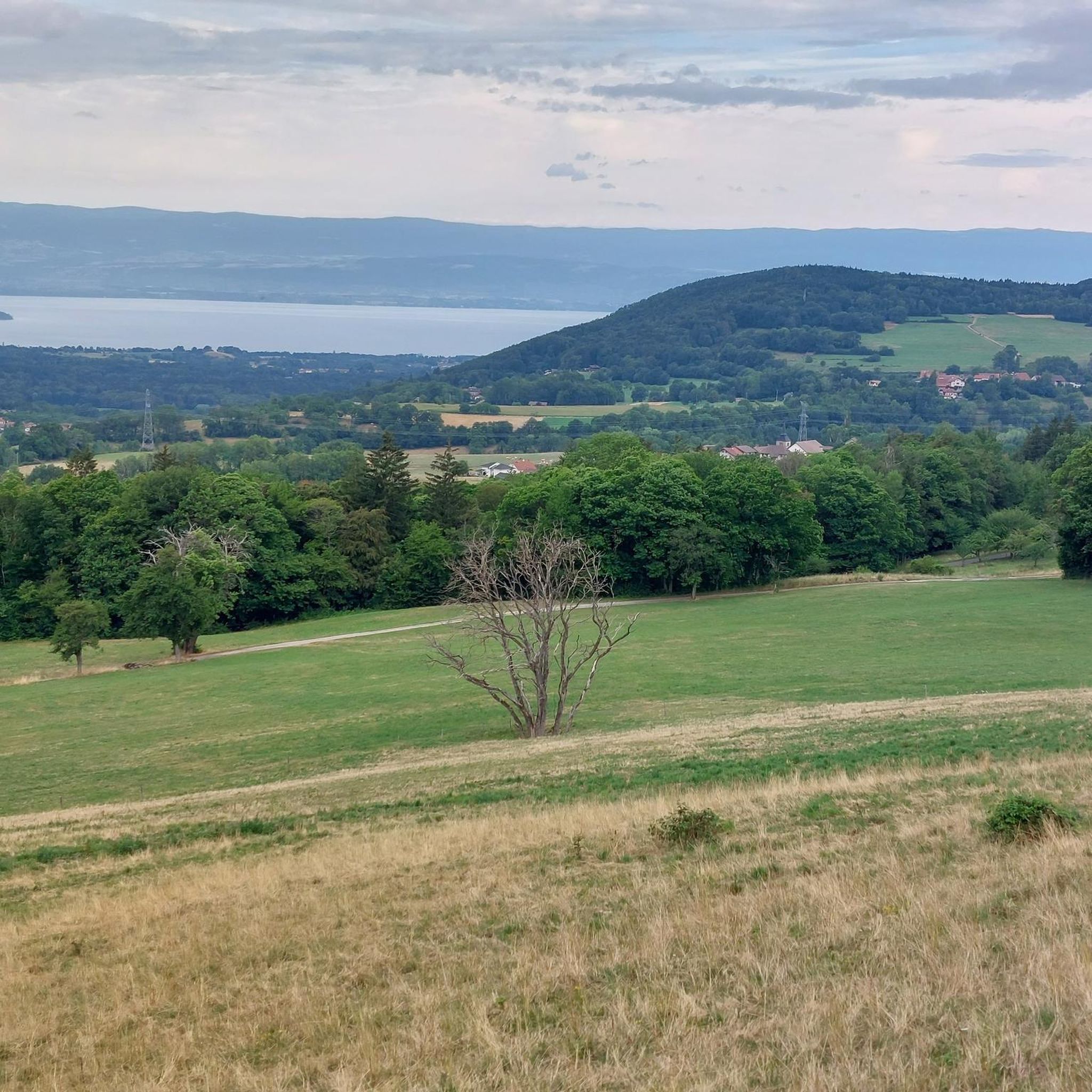
The view of the lake is magnificent. Cycling here in good weather, you feel like you're in Italy or the South of France.
0
0
Frequently Asked Questions
How many gravel bike trails are available around Lully?
Lully offers a wide selection of gravel bike trails, with over 30 routes to explore. These range from easy, scenic loops to challenging mountain ascents, catering to various skill levels.
Are there any easy gravel bike trails suitable for beginners or families in Lully?
Yes, Lully has several easy routes perfect for beginners or families. A great option is the Gravel loop from Douvaine, which is an easy 15.5-mile (25.0 km) trail offering a gentle introduction to the region's rural paths.
What are some challenging gravel bike routes for experienced riders in Lully?
For experienced riders seeking a challenge, Lully offers several difficult routes. The Le Signal des Voirons Summit – Col de Saxel (944 m) loop from Massongy is a demanding 34.9-mile (56.1 km) trail with significant climbs, leading through mountainous terrain.
What kind of terrain can I expect on gravel bike trails around Lully?
The terrain around Lully is diverse, featuring rolling hills, river valleys, and elevated plateaus. You'll encounter a mix of paved and unpaved surfaces, traversing agricultural areas and forested sections. Routes can vary from gentle valley rides to challenging climbs in the foothills of the Alps.
Are there any circular gravel bike routes in Lully?
Many of the gravel bike routes in Lully are designed as loops. For instance, the Plateau de la Menoge – Descent of the Menoge loop from Habère-Poche is a moderate 11.0-mile (17.7 km) circular path that features varied terrain across a plateau and a descent along the Menoge river.
What are the best times of year for gravel biking in Lully?
Given Lully's location near the foothills of the Alps, spring through autumn generally offer the most favorable conditions for gravel biking. The weather is milder, and trails are typically clear. Summer provides longer daylight hours, while spring and autumn offer pleasant temperatures and vibrant scenery.
What are some notable viewpoints or landmarks along the gravel bike routes in Lully?
Many routes offer scenic vistas, especially those reaching elevated sections. For specific landmarks, you might encounter mountain passes like Col de Saxel. Additionally, natural monuments such as the Garden of Five Senses (Jardin des Cinq Sens) in Yvoire are nearby.
Are there any routes that pass by waterfalls in the Lully area?
While not directly on every gravel route, the region around Lully does feature natural attractions like waterfalls. You can find the Cascade de Bellevaux within the broader area, which could be a point of interest to explore.
What do other gravel bikers say about the trails in Lully?
The gravel biking trails in Lully are highly regarded by the komoot community, with an average score of 3.9 stars from 9 reviews. Over 100 gravel bikers have used komoot to explore the varied terrain, often praising the diverse landscapes and options for different skill levels.
Are there any very long-distance gravel routes available around Lully?
Yes, for those looking for longer rides, Lully offers extensive routes. The Jet d'Eau Fountain – Arve Path loop from Bons-en-Chablais is a significant 73-mile (117.4 km) route, providing a challenging long-distance gravel experience.
Can I find routes with significant elevation gain in Lully?
Absolutely. Lully's proximity to the Alps means many routes feature substantial elevation gain. For example, the View of Geneva – Sionnet Marsh Boardwalk loop from Bons-en-Chablais includes over 1300 meters of ascent, offering panoramic views and a demanding ride.
Most popular attractions around Lully

Get inspired with the komoot mobile app


Explore more
Browse the best Gravel rides in other regions.
