The best walks and hikes around Lully
4.6
(993)
7,923
hikers
204
hikes
Hiking trails around Lully, located in the Haute-Savoie department of France, offer access to the mountainous terrain of the Auvergne-Rhône-Alpes region. The area is characterized by its proximity to the pre-Alps, featuring significant elevation gains and panoramic views, particularly of Lake Geneva. Prominent features include Mont Forchat and the Encrenaz Pass, providing varied topography for hiking routes.
Best hiking trails around Lully
- The most popular hiking route is Encrenaz Pass – Mount Forchat loop from Col de Cou, a…
Last updated: October 28, 2026
4.4
(38)
243
hikers
7.96km
02:55
470m
470m
Moderate hike. Good fitness required. Mostly walkable paths. Sure-footedness required.
4.8
(31)
162
hikers
8.13km
02:58
490m
490m
Moderate hike. Good fitness required. Mostly walkable paths. Sure-footedness required.

4.6
(28)
242
hikers
16.3km
05:26
760m
760m
Hard hike. Very good fitness required. Easily walkable paths.
4.4
(18)
166
hikers
11.0km
03:34
470m
470m
Moderate hike. Good fitness required. Mostly walkable paths. Sure-footedness required.
4.3
(16)
133
hikers
12.9km
04:27
680m
680m
Moderate hike. Good fitness required. Mostly walkable paths. Sure-footedness required.
Get access to more routes and recommendations from other explorers.
Already have an account?
Our route recommendations are based on thousands of hikes, rides, and runs completed by other people on komoot.
Start today with a free account
Your next adventure awaits.

Tips from the Community

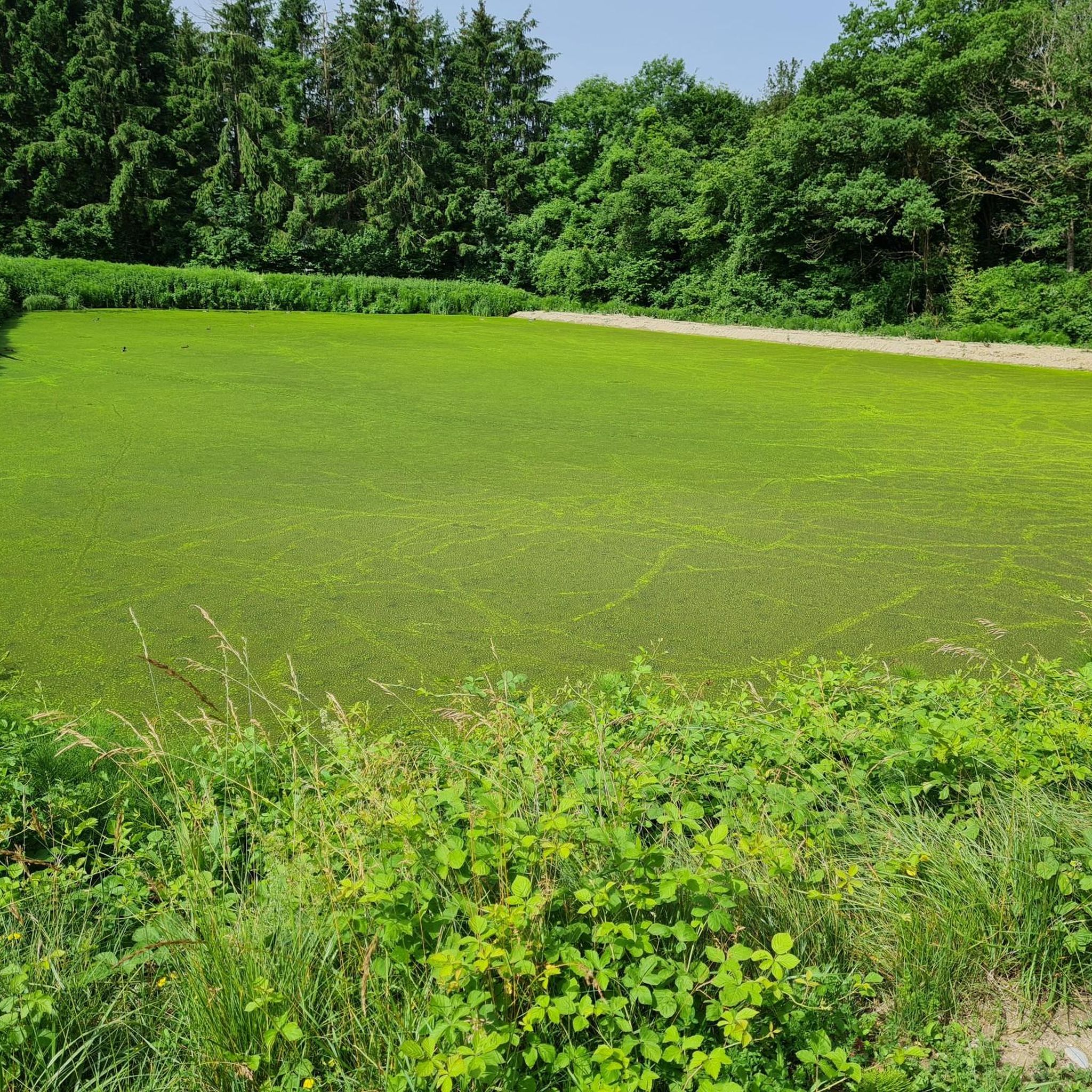
Nice but steep climb for 300 m
0
0


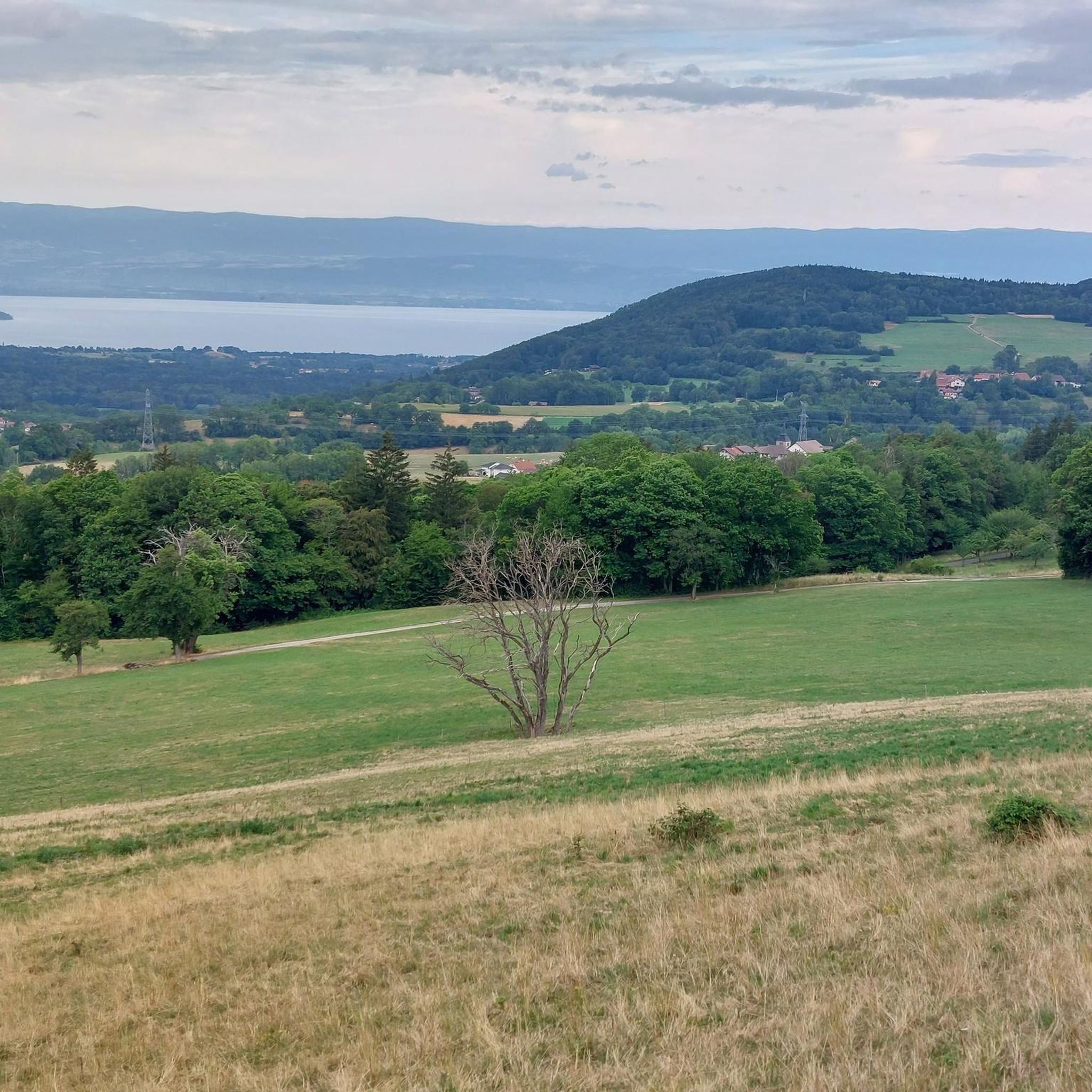
Beautiful views into the depths and beyond.
2
0

After the effort, your reward at the top of the Col du Feu is a magnificent view of the peaks of the Chablais massif and Lake Geneva.
1
0

In addition to the spiritual aspect, there are many benches around this chapel which allow you to eat a frugal (or not) snack.
0
0

The Col de l'Encrenaz is 1429m high, which is 120m lower than the Mont Forchat, which can be easily reached from here. The path is steep, but not so steep that you can't walk any more.
1
0
Très le Mont is a small town from which the hike to Mont Forchat or Très la Paraz starts. Unfortunately, there are no public toilets at the car park, only a restaurant at the end of the town.
0
0
Frequently Asked Questions
How many hiking trails are available around Lully?
There are over 180 hiking trails around Lully, offering a wide range of options for different skill levels. This includes nearly 60 easy routes, almost 100 moderate trails, and 28 challenging paths for experienced hikers.
Are there any easy, family-friendly hikes in Lully?
Yes, Lully offers nearly 60 easy hiking routes suitable for families. These trails often feature less elevation gain and shorter distances, allowing for a relaxed outdoor experience amidst the beautiful pre-Alpine scenery. While specific family-friendly routes aren't detailed here, you can find many options on komoot by filtering for 'easy' difficulty.
Can I find circular hiking routes in the Lully area?
Yes, many of the hiking trails around Lully are designed as circular routes, allowing you to start and end at the same point. For example, the View of Lake Geneva – Col des Moises loop from Col de Cou offers a moderate 7.8 km circular path with scenic vistas.
What kind of views can I expect on hikes around Lully?
Hikers in Lully can expect stunning panoramic views, particularly of Lake Geneva and the surrounding pre-Alpine mountains. Trails often ascend to points like Mont Forchat or Mont Billiat, which offer extensive 360-degree vistas of the diverse landscapes of the Haute-Savoie region.
Are there any waterfalls to see on the hiking trails near Lully?
Yes, the region around Lully features natural attractions like the Cascade de Bellevaux. While not directly on every trail, it's a notable natural monument in the vicinity that can be incorporated into a hiking plan or visited separately.
What historical sites or landmarks can I explore while hiking in Lully?
The Lully area is rich in history. You can find historical castles like Château d'Avully and Château de Buffavent, which are often integrated into hiking loops. Additionally, the nearby Yvoire Medieval Village and its Saint Pancras Church offer a glimpse into the region's past, and the Garden of Five Senses in Yvoire is a beautiful natural monument.
What is the most challenging hike in the Lully area?
For experienced hikers seeking a challenge, the Notre-Dame des Voirons – Signal of the Voirons loop from Bons-en-Chablais is a difficult 15.8 km route with a significant elevation gain of almost 900 meters. This trail offers demanding terrain and rewarding views.
What do other hikers say about the trails in Lully?
The hiking trails in Lully are highly regarded by the komoot community, with an average rating of 4.6 stars from over 700 reviews. Hikers frequently praise the diverse landscapes, the impressive views of Lake Geneva, and the variety of routes available for all fitness levels.
Are there any specific mountain passes that hikers can explore near Lully?
Yes, the region features several notable mountain passes that are often part of hiking routes. The Col de Cou and the Jambaz Pass are prominent features, offering varied topography and access to different sections of the pre-Alps.
Is Lully in France or Switzerland, and which region does this guide cover?
This guide specifically covers Lully, located in the Haute-Savoie department of France. While there is also a Mont Vully region in Switzerland, this guide focuses on the French Lully, known for its mountainous terrain and proximity to the pre-Alps and Lake Geneva.
What are some natural monuments to look out for near Lully?
Beyond the stunning mountain scenery, you can discover unique natural monuments such as the Copacou Stone and La Pierre d'Equarre. These geological features add an interesting dimension to the natural beauty of the area.
Most popular attractions around Lully

Get inspired with the komoot mobile app


Explore more
Browse the best Hikes in other regions.
