The best gravel rides around Obersteinbach
4.6
(14)
109
riders
29
rides
Gravel biking around Obersteinbach offers access to an extensive network of trails within the Northern Vosges Regional Nature Park. The region features vast forests, rolling hills, and unique sandstone rock formations, providing varied terrain for gravel riders. Riders can expect a mix of packed earth, gravel roads, and some singletrack, traversing through lush landscapes and past historic castle ruins. The landscape provides varied elevation gains suitable for different fitness levels.
Best gravel bike trails around Obersteinbach
- The most popular gravel bike trail is Wieslautertal Cycle Path – Moosbach Valley loop from Ludwigswinkel, a 28.4 miles (45.6 km) trail that takes 2 hours 46 minutes to complete. This route features significant elevation gain and traverses varied forest paths.
- Another top favourite among local gravel bikers is Fleckenstein Pond – Fleckenstein Pond loop from Château de Fleckenstein, a difficult 25.0 miles (40.3 km) path. This route includes climbs and scenic sections around the pond.
- Local gravel bikers also love the Fleckenstein Pond – Cycle path to Fischbach near Dahn loop from Ludwigswinkel, a 24.9 miles (40.1 km) trail leading through dense forests and past notable rock formations, often completed in about 2 hours 28 minutes.
- Gravel biking around Obersteinbach is defined by extensive forest paths, historic castle ruins, and unique eroded rock formations. The network offers options for various ability levels, from moderate to difficult routes.
- The routes in Obersteinbach are highly rated by the komoot community with an average score of 4.6 stars from over 10 reviews. More than 100 gravel bikers have used komoot to explore Obersteinbach's varied terrain.
Last updated: May 22, 2026
4.7
(23)
115
riders
45.6km
02:46
520m
520m
Hard gravel ride. Very good fitness required. Mostly paved surfaces. Suitable for all skill levels.
5.0
(2)
26
riders
40.3km
02:23
480m
480m
Hard gravel ride. Very good fitness required. You may need to push your bike for some segments of this route.

Sign up for free
5.0
(4)
32
riders
Hard gravel ride. Very good fitness required. Mostly paved surfaces. Suitable for all skill levels.
4.3
(3)
17
riders
Hard gravel ride. Very good fitness required. Mostly paved surfaces. Suitable for all skill levels.
11
riders
37.1km
02:29
470m
470m
Hard gravel ride. Very good fitness required. Mostly paved surfaces. Suitable for all skill levels.
Get access to more routes and recommendations from other explorers.
Sign up for free
Already have an account?
Our route recommendations are based on thousands of hikes, rides, and runs completed by other people on komoot.
Start today with a free account
Your next adventure awaits.
Login or Signup
Popular around Obersteinbach
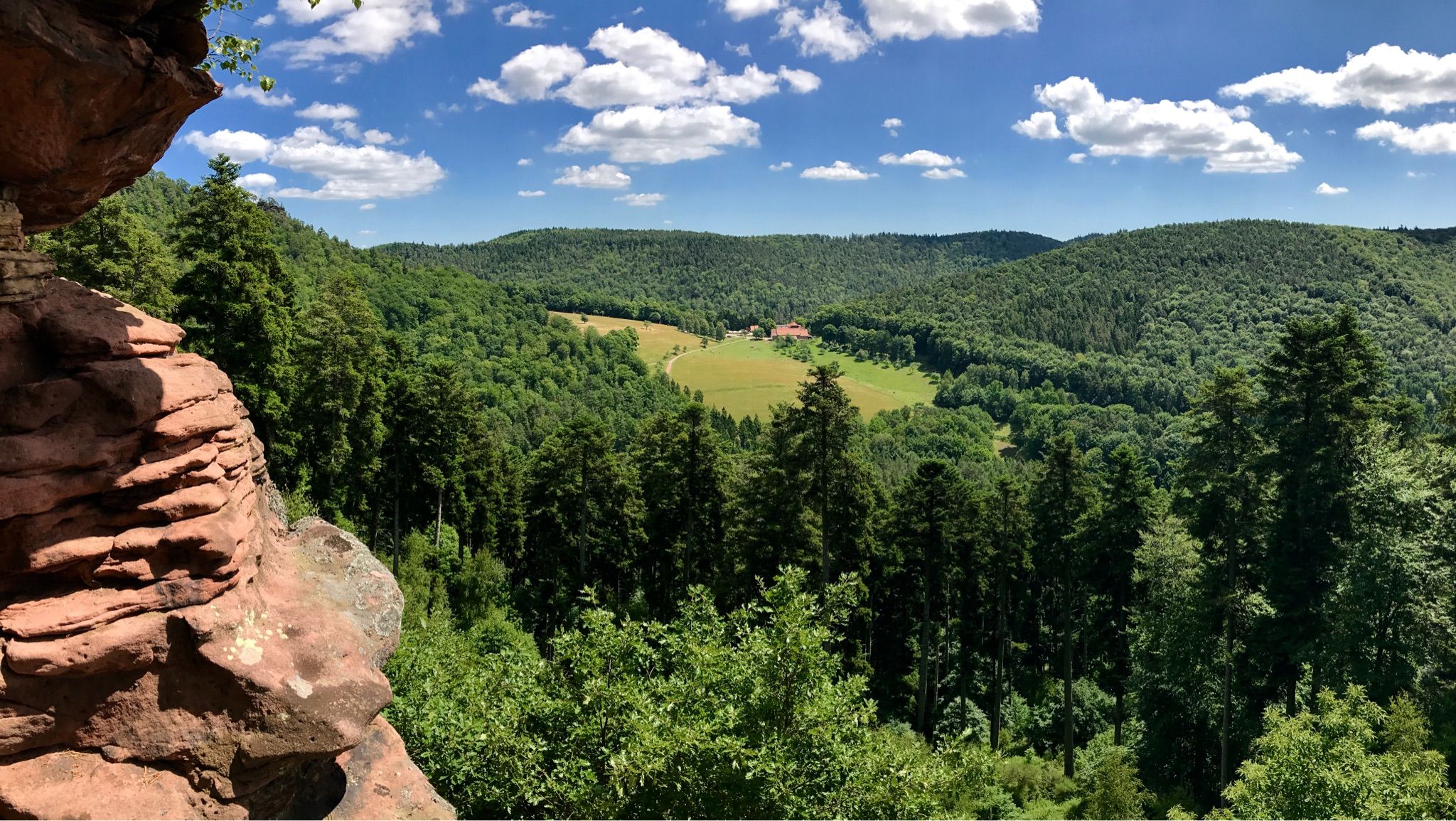
Hike the GR 53 – Explore castles along the Franco-German border
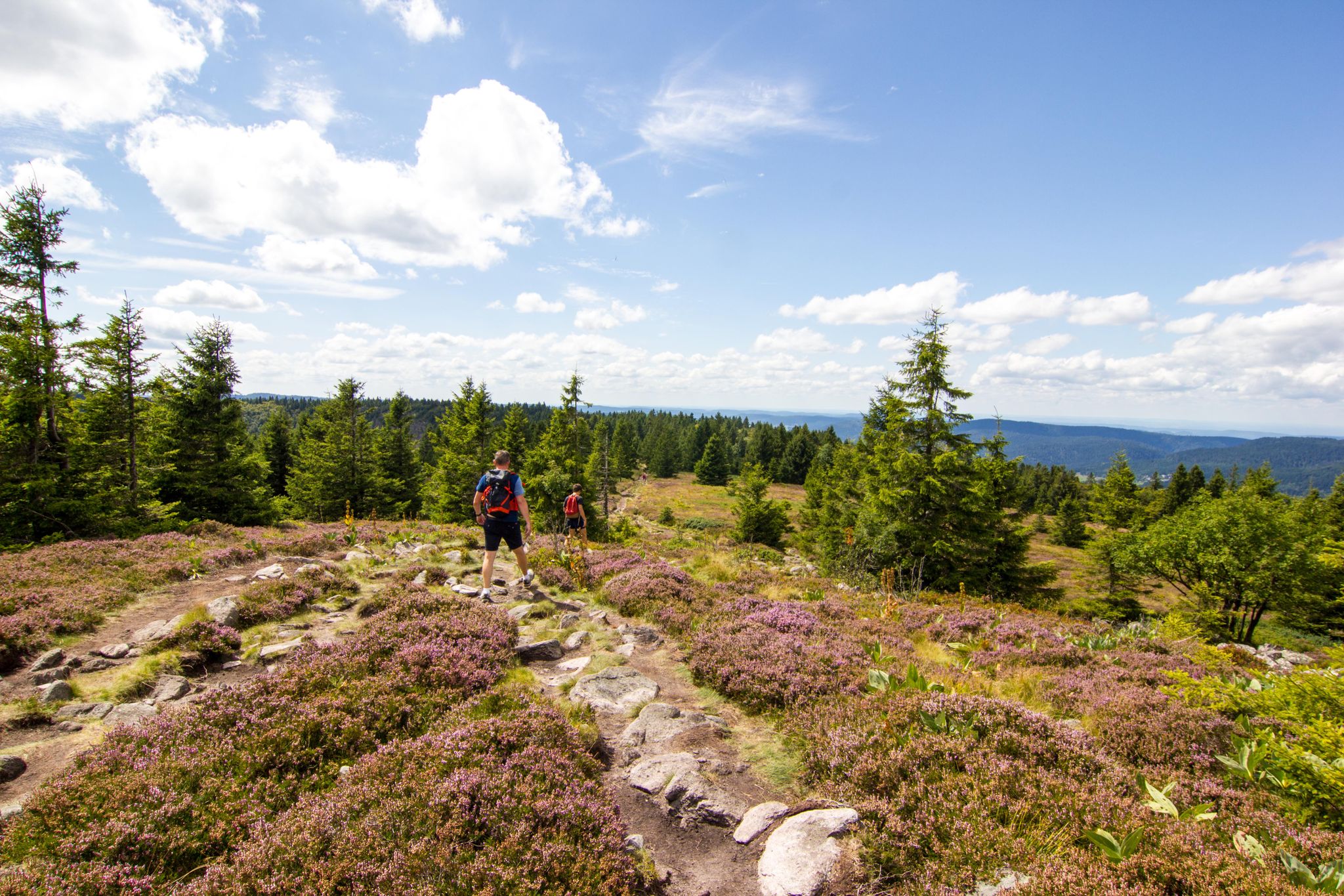
Hiking and relaxation – wellbeing on the Traversée des Vosges
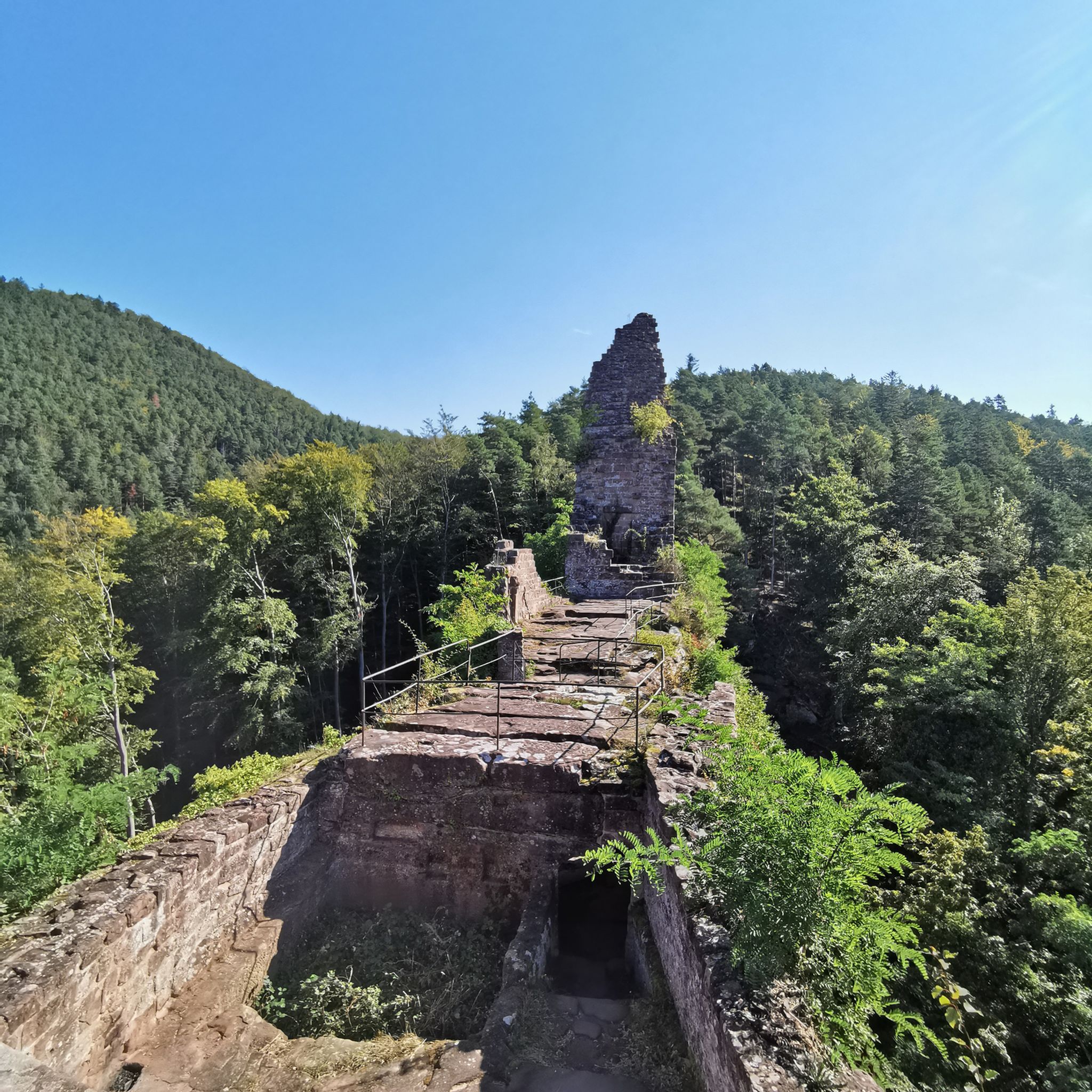
Hiking around Obersteinbach
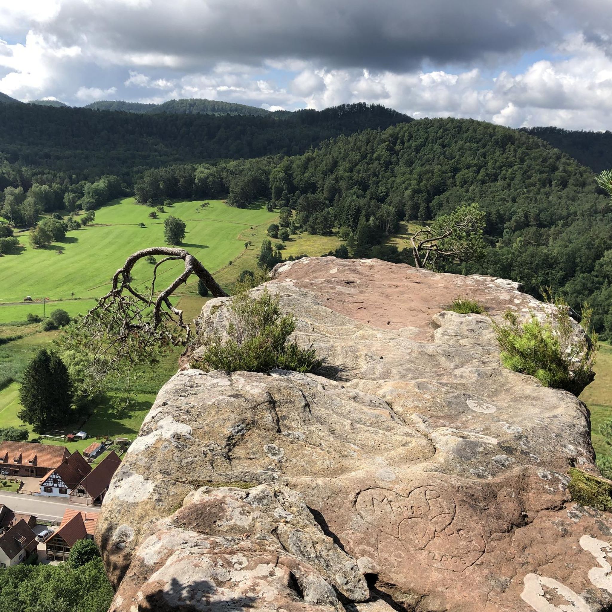
Cycling around Obersteinbach
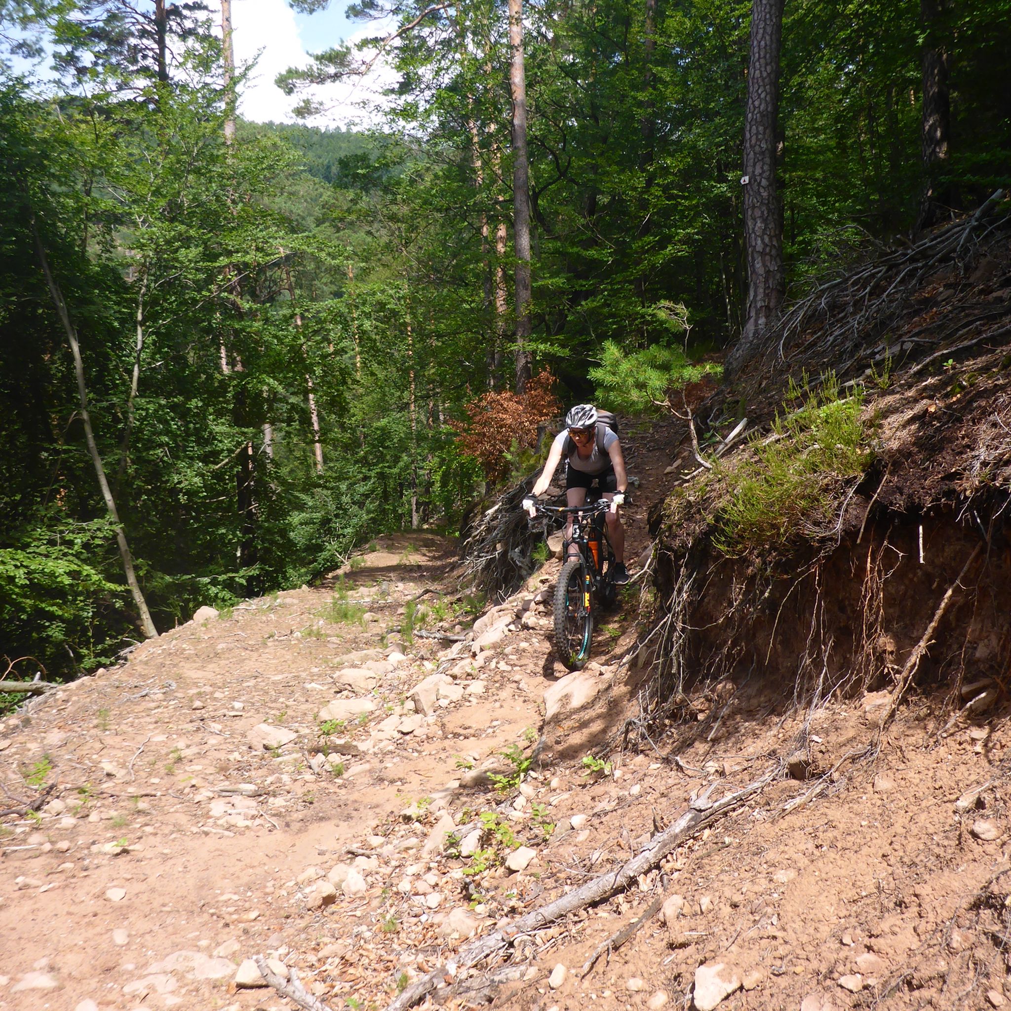
MTB Trails around Obersteinbach
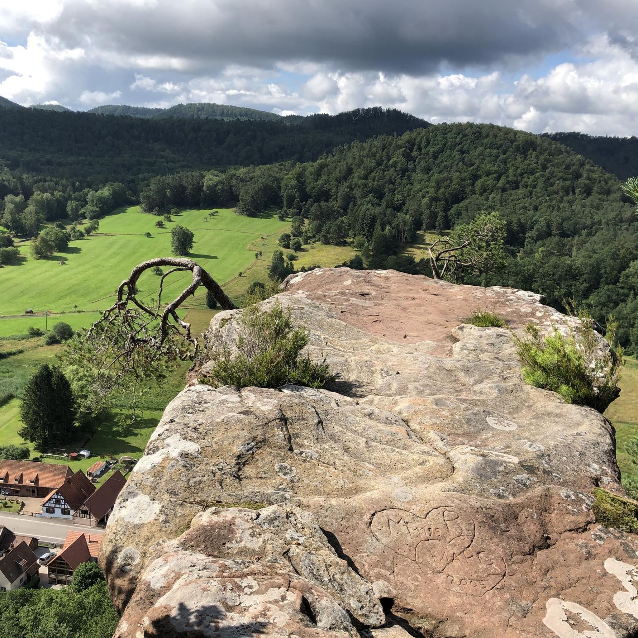
Road Cycling Routes around Obersteinbach
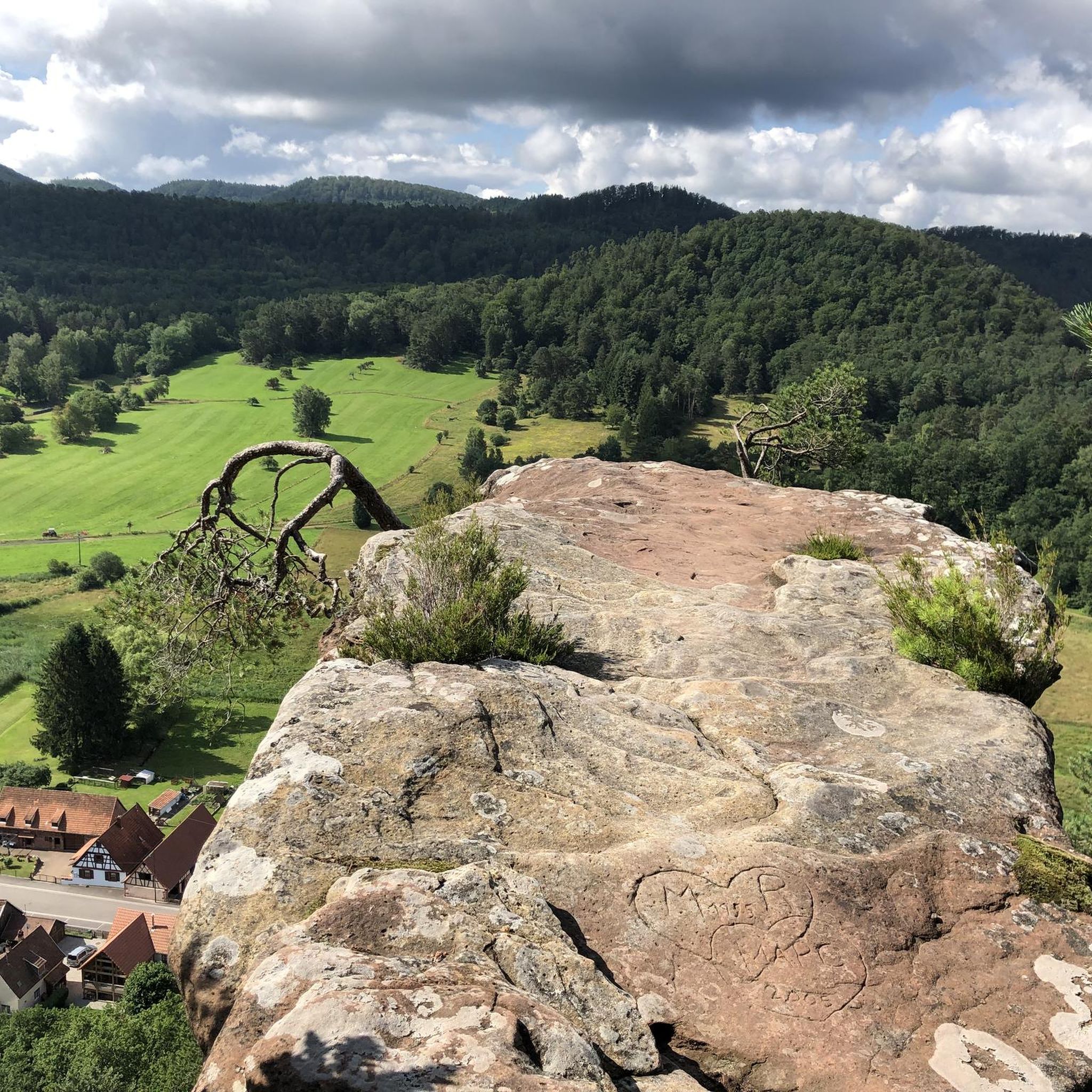
Running Trails around Obersteinbach
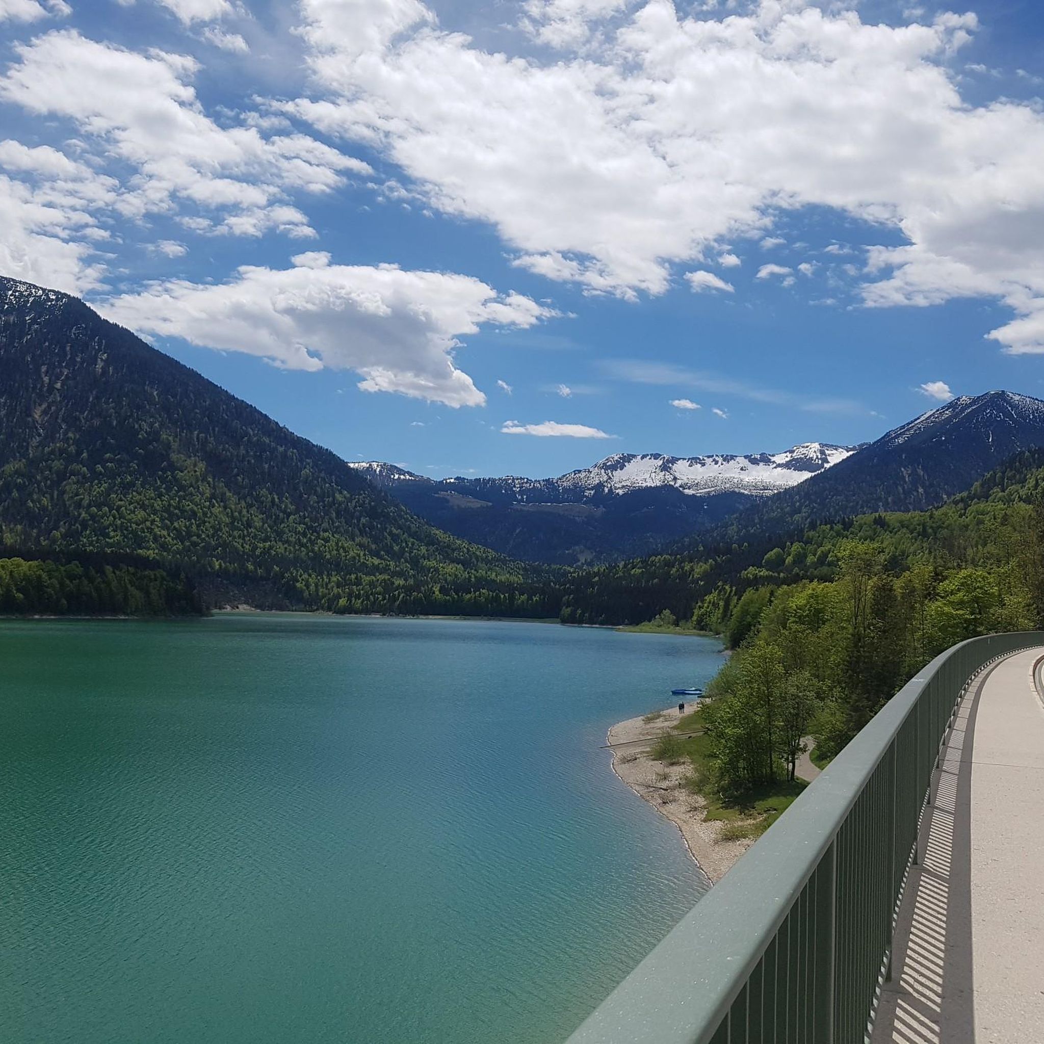
Mountain Hikes around Obersteinbach


Tips from the Community

Great to ride and nice and quiet
0
0

Komoot seems to have thrown together a few highlights. It's best to withdraw your photos. Mine was originally titled "View of the Jungfernsprung."
0
0

Ms. Fath is, of course, right: That's the Jungfernsprung in Dahn! Lug, and thus also the Luger Geiersteine, are 29 km away from the Jungfernsprung by car, 13 km by bike, and 11.5 km on foot, and are also located in a different municipality.
0
0

In Dahn, it's impossible to see the Luger Geiersteine! It must be called Jungfernsprung.
1
0

A wonderful sight in the middle of the small town of Dahn
0
0


An extraordinary place. A relic from times once thought to be bygone, but unfortunately, reality teaches us otherwise.
1
0

The Schillerfelsen in Dahn, incredibly beautiful!
3
0
Frequently Asked Questions
How many gravel bike trails are available around Obersteinbach?
Obersteinbach offers an extensive network of gravel bike trails, with over 40 routes available for exploration. These trails navigate through the Northern Vosges Regional Natural Park, featuring diverse terrain from forest paths to valleys and impressive rock formations.
What kind of terrain can I expect on gravel bike trails in Obersteinbach?
The terrain around Obersteinbach is quite varied, characterized by vast forests, valleys, and unique eroded rock formations. You'll encounter a mix of paved and unpaved segments, including finest gravel roads, making for a diverse and engaging ride. The region is part of the Northern Vosges Regional Natural Park, ensuring a picturesque environment.
Are there any easy gravel bike trails for beginners in Obersteinbach?
While many routes in Obersteinbach are rated moderate to difficult due to significant elevation gains, there is at least one easy gravel bike trail available. The extensive network also offers options that can be adapted for less experienced riders, focusing on flatter sections or shorter distances.
What are some notable natural features or landmarks I can see along the gravel trails?
The region is rich in natural beauty and historical sites. You can encounter impressive rock formations like the Wachtfels sandstone arch, and explore historic castle ruins such as the Wegelnburg Castle Ruins or Hohenbourg Castle. The Altschloss Rocks and Altschlossfelsen sandstone rock formation are also prominent natural monuments in the area.
Are there any circular gravel routes available in Obersteinbach?
Yes, many of the gravel bike trails around Obersteinbach are designed as loops, allowing you to start and end your ride in the same location. An example is the challenging Königsbruch – Col du Schaufelshald loop from Niedersteinbach, which takes you through forested areas and includes climbs to the Col du Schaufelshald.
What is the best time of year to go gravel biking in Obersteinbach?
The Northern Vosges Regional Natural Park, where Obersteinbach is located, is beautiful throughout the warmer months. Spring and autumn offer pleasant temperatures and vibrant scenery, making them ideal for gravel biking. Summer is also suitable, though some routes might be more exposed to the sun. Winter can be challenging due to potential snow and ice, especially on higher elevation paths.
Are there any family-friendly gravel biking options in Obersteinbach?
While many routes feature significant elevation gains and are rated moderate to difficult, some sections of the extensive trail network can be suitable for families. Look for routes with less elevation or shorter distances. It's always recommended to check the specific route details on Komoot for difficulty and terrain before heading out with children.
Where can I find parking for gravel biking in Obersteinbach?
Obersteinbach and its surrounding villages, such as Ludwigswinkel and Niedersteinbach, serve as common starting points for gravel bike trails. You can typically find parking facilities in these villages, often near trailheads or public areas. It's advisable to check local signage for specific parking regulations.
What do other gravel bikers enjoy most about the trails in Obersteinbach?
The gravel biking experience in Obersteinbach is highly rated by the komoot community, with an average score of 4.7 stars from over 20 reviews. Riders often praise the extensive forest paths, the scenic beauty of the Northern Vosges Regional Natural Park, and the unique eroded rock formations and historic castle ruins that dot the landscape.
Can I find long-distance gravel routes near Obersteinbach?
Yes, Obersteinbach is an excellent base for longer gravel rides. For example, the Col du Pigeonnier – View of the Lauter loop from Ludwigswinkel is a substantial 38.6-mile (62.2 km) trail with significant elevation gain, offering a full day's adventure through the region's diverse landscapes.
Are there any routes that pass by interesting rock formations?
Absolutely. The region is known for its dramatic rock formations. The Rock formation "Gypsy rock" – Hohe List Hiking Lodge loop from Ludwigswinkel is a great option, leading through dense forests and directly past notable rock formations, including the "Gypsy rock" itself.
Are there any routes that include lakes or ponds?
Yes, some routes incorporate water features into their scenic paths. The Pfälzerwoog Lake – Klingelfels Rock Formation loop from Niedersteinbach is a good example, offering views of Pfälzerwoog Lake alongside impressive rock formations.
Most popular routes around Obersteinbach
Most popular attractions around Obersteinbach

Get inspired with the komoot mobile app


Explore more
Browse the best Gravel rides in other regions.
