The best gravel rides around Banzenheim
4.5
(130)
631
riders
77
rides
Gravel biking around Banzenheim offers access to diverse landscapes within the Alsace region, characterized by expansive forests, riverine paths, and undulating farmlands. The area features the Forêt Domaniale de la Hardt-Nord with its mix of asphalted and unpaved forest roads, alongside the unique wetlands of the Petite Camargue Alsacienne. Riders can explore routes along the Rhine River and its canals, as well as the varied terrain of the Sundgau region, which includes quiet country roads and white farm tracks. This…
Last updated: August 12, 2026
4.6
(8)
29
riders
Hard gravel ride. Very good fitness required. Mostly paved surfaces. Suitable for all skill levels.
5.0
(1)
18
riders
62.4km
03:29
120m
120m
Moderate gravel ride. Good fitness required. Mostly paved surfaces. Suitable for all skill levels.

Sign up for free
4.7
(6)
30
riders
Moderate gravel ride. Good fitness required. Mostly paved surfaces. Suitable for all skill levels.
4.4
(8)
36
riders
Easy gravel ride. Great for any fitness level. Mostly paved surfaces. Suitable for all skill levels.
4.8
(4)
27
riders
55.5km
03:56
1,260m
1,260m
Hard gravel ride. Very good fitness required. Mostly paved surfaces. Suitable for all skill levels.
Get access to more routes and recommendations from other explorers.
Sign up for free
Already have an account?
Our route recommendations are based on thousands of hikes, rides, and runs completed by other people on komoot.
Start today with a free account
Your next adventure awaits.
Login or Signup
Tips from the Community

Great park with special mini golf course
0
0

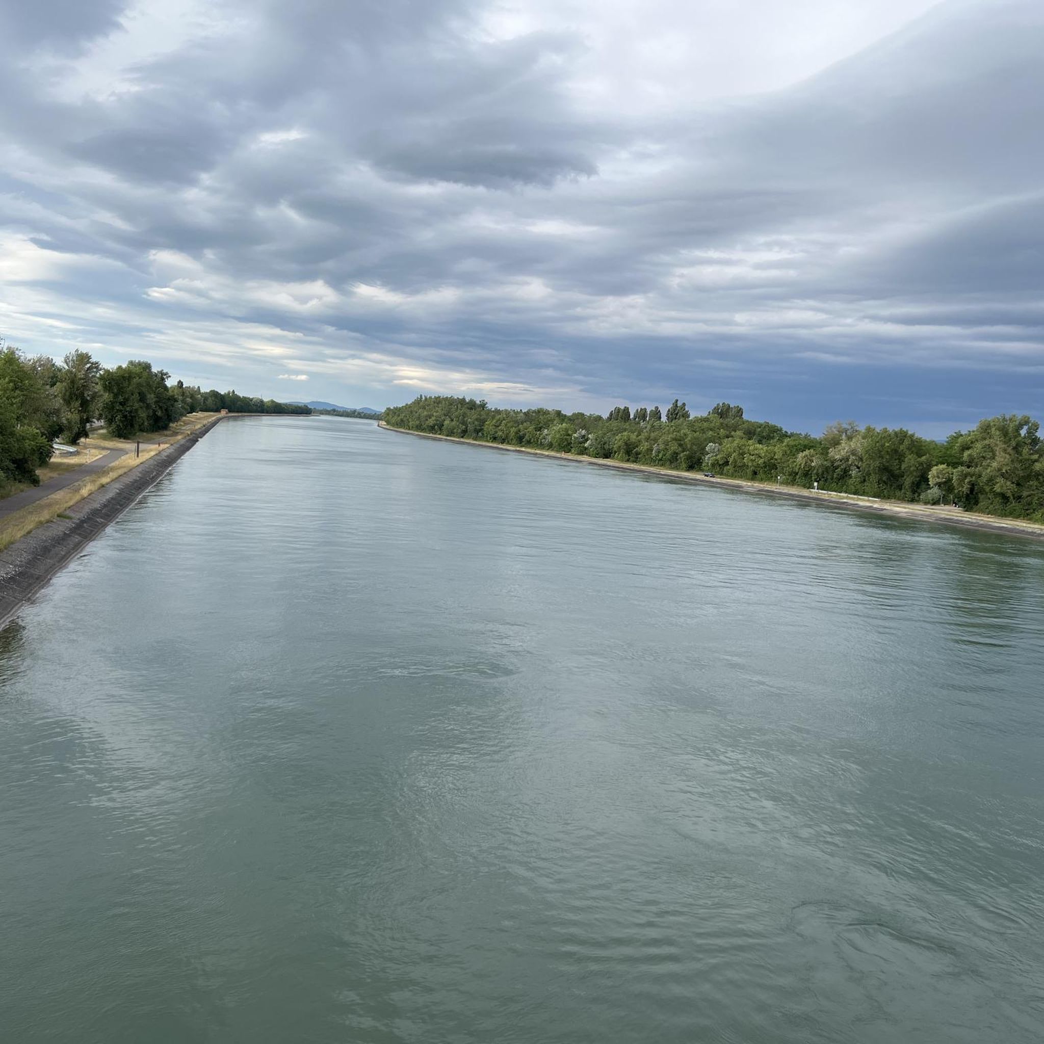
Beautiful cycle path, along the Rhine.
0
0

Clearly visible in good weather
0
0

Wonderful spa park of Bad Bellingen with a barefoot path, a mini-golf course, an insect path, and a recently renovated pond area with fountains. Absolutely worth seeing.
2
0

Great bike path that leads along
0
0

I was there yesterday, I was worried that everything would be foggy - but I had a beautiful view and I can only recommend it.
0
0

It's kind of sad what's become of the Pumuckl Pass.
0
0

What a beautiful route through the vineyards
1
0
Frequently Asked Questions
How many gravel bike trails are available around Bantzenheim?
There are over 80 gravel bike trails available around Bantzenheim, offering a wide range of options for different skill levels and preferences. The komoot community has explored these routes over 500 times, highlighting the area's popularity for gravel cycling.
What kind of terrain can I expect on gravel bike trails near Bantzenheim?
Gravel biking around Bantzenheim offers a diverse mix of terrain. You'll find routes through the expansive Forêt Domaniale de la Hardt-Nord with both asphalted and unpaved forest roads, unique wetland environments in the Petite Camargue Alsacienne, and scenic paths along the Rhine River and its canals. The broader Sundgau region provides undulating landscapes with quiet country roads, white farm tracks, and smooth, rolling trails through meadows, fields, and forests.
What do other gravel bikers say about the trails around Bantzenheim?
The gravel biking routes around Bantzenheim are highly rated by the komoot community, with an average score of 4.5 stars from more than 70 reviews. Riders often praise the varied terrain, the peaceful forest roads, and the scenic views along the Rhine and through the picturesque Alsatian countryside.
Are there challenging gravel routes for experienced riders around Bantzenheim?
Yes, for experienced riders seeking a challenge, there are 36 difficult gravel routes around Bantzenheim. One such demanding route is the Eselgraben Cliffs – Kreuzweg Pass Summit loop from Müllheim im Markgräflerland, which covers 25.2 miles (40.5 km) and features significant elevation gain, winding through varied terrain towards a summit.
Are there easy gravel bike trails suitable for beginners or casual rides?
Absolutely. There are 11 easy gravel bike trails around Bantzenheim, perfect for beginners or those looking for a more relaxed ride. A great option is the Rhine Viewpoint, Bad Bellingen – Viewing platform on the Rhine loop from Auggen, a 17.9 miles (28.8 km) trail leading through the Rhine Valley, often completed in about 1 hour 34 minutes.
What natural features or landscapes can I explore on gravel bike rides in the Bantzenheim area?
You can explore a rich variety of natural features. The Forêt Domaniale de la Hardt-Nord offers extensive forest trails, while the Petite Camargue Alsacienne provides unique wetland environments. Routes along the Rhine River and its canals offer flat fluvial landscapes, and the Sundgau region features rolling hills, meadows, and forests. You might also catch views of the majestic Vosges mountains on some regional routes.
Are there any interesting landmarks or viewpoints along the gravel bike routes?
Yes, several routes offer access to interesting landmarks and viewpoints. For instance, you can find the Sophienruhe Viewpoint and Shelter or the Hügelheim Vineyard Cottage, both offering scenic spots to pause. Additionally, some routes pass by picturesque villages with traditional half-timbered houses and offer views of vineyards, especially along the Alsace Wine Route.
Can I find circular gravel bike routes around Bantzenheim?
Yes, many of the gravel bike trails around Bantzenheim are designed as loops, allowing you to start and end your ride in the same location. For example, the popular Rhine Viewpoint, Bad Bellingen – Kembs Dam loop from Neuenburg (Baden) is a 41.3 miles (66.4 km) circular trail offering scenic views along the Rhine.
What is the best time of year for gravel biking in the Bantzenheim region?
The best seasons for gravel biking in the Bantzenheim region are generally spring, summer, and autumn. These months offer pleasant temperatures and drier conditions, making the diverse trails through forests, along rivers, and across the Sundgau more enjoyable. While winter biking is possible, conditions can be challenging with colder weather and potentially muddy or icy paths.
Are there any family-friendly gravel biking options near Bantzenheim?
Yes, the region offers several family-friendly gravel biking options, particularly along the flatter sections of the Rhine Valley and its canals. These routes often combine paved and unpaved sections, providing a safe and enjoyable experience for all ages. The extensive network of bike paths ensures that you can find routes suitable for various skill levels within the family.
Where can I find places to rest or have a picnic along the trails?
Many routes in the Bantzenheim area pass by charming villages where you can find cafes or pubs. Additionally, there are designated picnic and rest areas, such as the Staltenhütte Picnic and Playground Area, which are perfect for a break during your ride. You might also encounter huts like the Geisbrunnen Hut.
Is public transport available to access gravel trails near Bantzenheim?
While Bantzenheim itself is a smaller village, its proximity to larger towns and the well-developed regional transport network in Alsace means that some gravel trails can be accessed via public transport. It's advisable to check local bus and train schedules for connections to trailheads or starting points in nearby communities.
Are there specific permits required for gravel biking in the Alsace region?
Generally, no specific permits are required for gravel biking on public trails and forest roads in the Alsace region. However, it's always good practice to respect local regulations, especially when cycling through nature reserves like the Petite Camargue Alsacienne or protected forest areas. Stick to marked paths and be mindful of other users and wildlife.
Most popular routes around Banzenheim
Most popular attractions around Banzenheim

Get inspired with the komoot mobile app


Explore more
Browse the best Gravel rides in other regions.
