The best running trails around Banzenheim
4.6
(371)
7,056
runners
522
runs
Jogging routes around Banzenheim are set within the Haut-Rhin department of Alsace, France, offering access to the Grand Ried natural region. This area is characterized by floodplain forests, meadows, and a network of waterways, providing diverse terrain for running. The landscape is shaped by the Ill and Rhine rivers, with routes often following riverbanks and passing through natural reserves. Elevation changes are generally mild, making many routes accessible for various fitness levels.
Best jogging routes around Banzenheim
- The most popular jogging route is Reinweg Trail loop from Chalampé, a 13.1 miles (21.2 km) trail that takes 2 hours 11 minutes to complete. This difficult route offers an extended running experience through the regional landscape.
- Another top favourite among local runners is Running loop from Parkplatz Schützenhaus, a moderate 5.0 miles (8.1 km) path. This route provides a balanced run, often passing through local green spaces.
- Local runners also love the Rhine Riverbank loop from Parkplatz Schützenhaus, a 5.8 miles (9.3 km) trail leading through riverbank scenery, often completed in about 59 minutes.
- Jogging around Banzenheim is defined by riverbank paths, natural reserves, and open meadows. The network offers options for different ability levels, from moderate loops to more challenging long-distance runs.
- The routes in Banzenheim are highly rated by the komoot community with an average score of 4.5 stars from over 300 reviews. More than 6000 runners have used komoot to explore Banzenheim's varied terrain.
Last updated: July 1, 2026
5.0
(1)
24
runners
21.3km
02:12
50m
50m
Hard run. Very good fitness required. Mostly paved surfaces. Suitable for all skill levels.
4.0
(1)
10
runners
9.38km
01:00
40m
30m
Moderate run. Good fitness required. Mostly paved surfaces. Suitable for all skill levels.

Sign up for free
11
runners
6.83km
00:43
20m
20m
Moderate run. Good fitness required. Mostly paved surfaces. Suitable for all skill levels.
5
runners
5.58km
00:38
10m
10m
Moderate run. Good fitness required. Mostly paved surfaces. Suitable for all skill levels.
7
runners
Moderate run. Good fitness required. Mostly paved surfaces. Suitable for all skill levels.
Get access to more routes and recommendations from other explorers.
Sign up for free
Already have an account?
Our route recommendations are based on thousands of hikes, rides, and runs completed by other people on komoot.
Start today with a free account
Your next adventure awaits.
Login or Signup
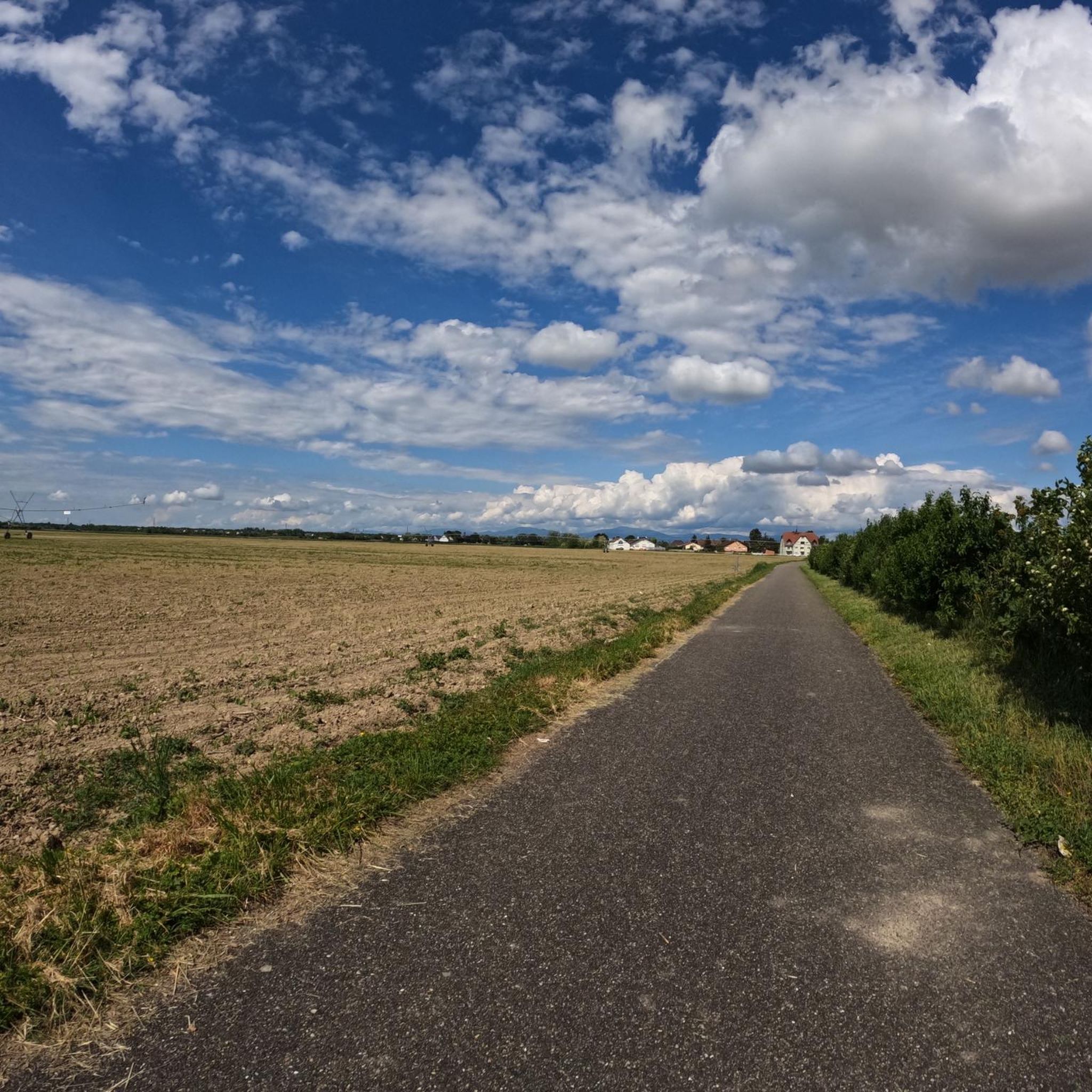
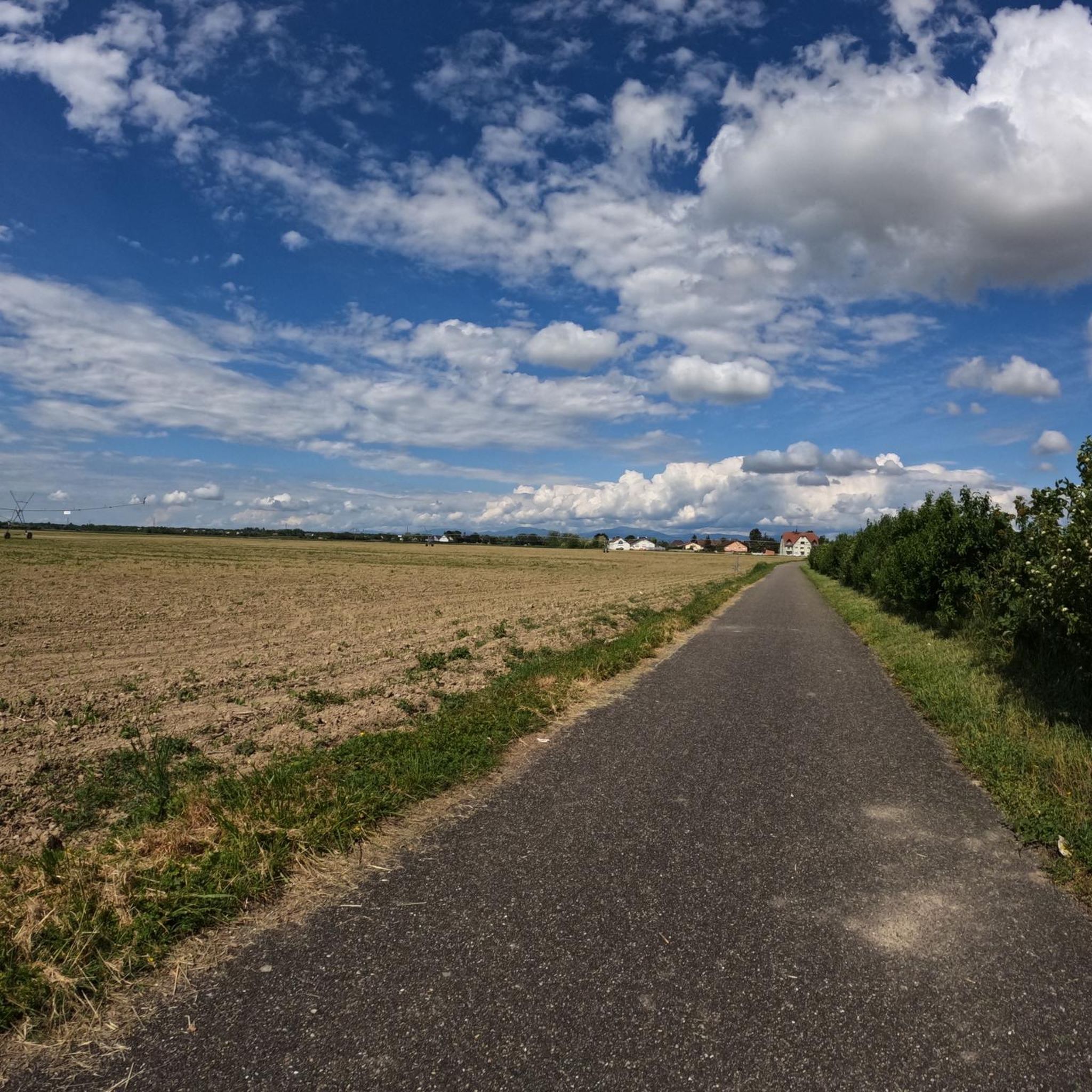
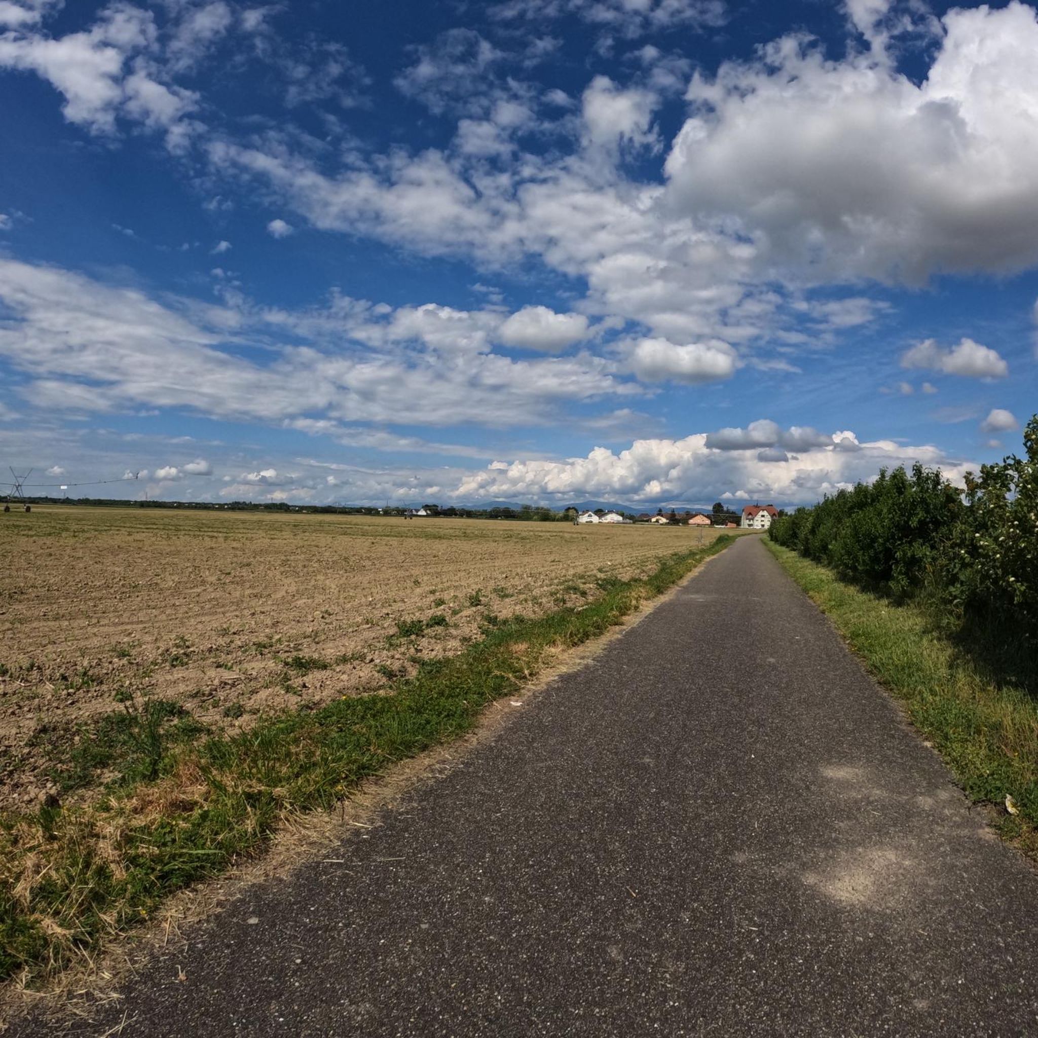
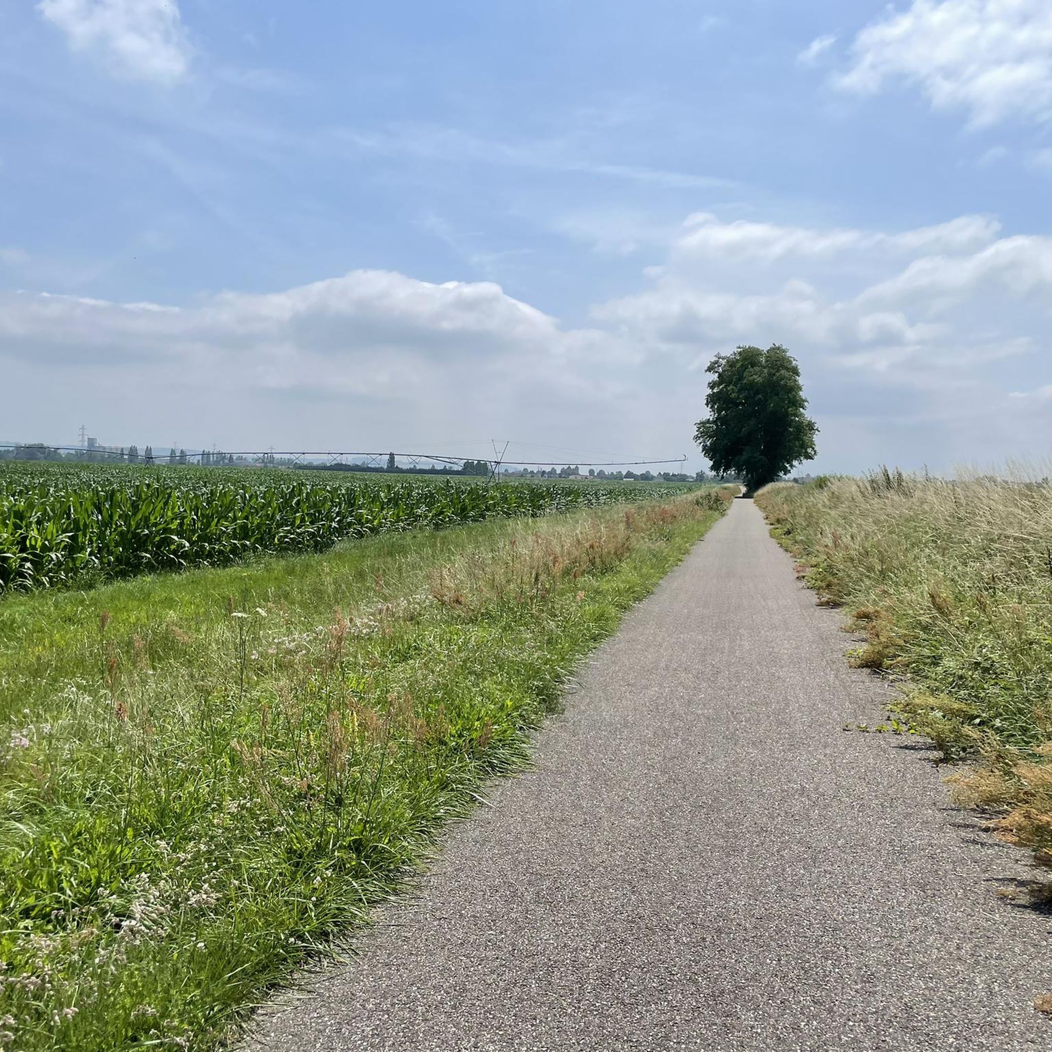
Tips from the Community

Magnificent panoramic view from the Bertholdsturm. In Neuenburg am Rhein, you should at least visit the Bertholdsturm and enjoy the view of the landscape and the city.
0
0
Great view from the Berthold Tower of the Kaiserstuhl and the Vosges.
1
0

Well separated path between pedestrians and cyclists, if you believe in it
2
0
Chalampe is a very tidy and interesting place, met nice people at the playground.
0
0

Beautiful simple church which is being completely rebuilt with plaster
0
0
Mighty railway bridge, I cannot say whether it is still used by trains, but it has a nice cycle path
2
0

A former garden show site that is still beautiful to enjoy today.
1
0
Frequently Asked Questions
How many running routes are available around Banzenheim?
There are over 500 running routes in the Banzenheim area, catering to various fitness levels. You'll find approximately 57 easy routes, 385 moderate routes, and 89 more challenging options.
What kind of terrain can I expect on jogging routes near Banzenheim?
The jogging routes around Banzenheim are primarily characterized by the natural landscapes of the Grand Ried region. You can expect to run through floodplain forests, open meadows, and along a network of waterways, including the Ill and Rhine rivers. The terrain is generally mild with gentle elevation changes, making it accessible for many runners.
Are there any circular running routes in the Banzenheim area?
Yes, many running routes around Banzenheim are designed as loops. For example, the Running loop from Parkplatz Schützenhaus is a moderate 8.1 km option, and the Rhine Riverbank loop from Parkplatz Schützenhaus offers a 9.3 km run along the river.
Can I find routes suitable for families with children?
While specific family-friendly routes are not explicitly detailed, the area's generally mild elevation changes and numerous easy to moderate trails make many paths suitable for families. Look for shorter, less challenging loops, especially those away from busy roads, to enjoy with children. The dedicated fitness trail in Banzenheim could also be a fun option.
Are the running trails around Banzenheim dog-friendly?
Many natural trails in the Grand Ried region are generally dog-friendly, provided dogs are kept on a leash, especially in protected areas like the Ill*Wald reserve, which is home to diverse wildlife. Always ensure your dog is under control and respect local regulations regarding pets on trails.
Are there any viewpoints or landmarks to see while running?
Yes, while running around Banzenheim, you can encounter several interesting natural and historical sites. Keep an eye out for the Giant sequoias at the Schwanenweiher (Swan Pond) or the Hagschutz Ancient Settlement Site. The region's rivers and natural reserves also offer picturesque scenery and opportunities to observe local biodiversity.
Where can I find a dedicated fitness trail in Banzenheim?
Banzenheim features a 'Parcours de santé fitness' (fitness trail) located at 28 Rue de Bâle. This facility provides various outdoor exercise equipment, offering a convenient spot for physical activity and jogging in the fresh air within the commune itself.
Is parking available near the running trailheads?
Yes, many popular running routes, such as the Running loop from Parkplatz Schützenhaus and the Rhine Riverbank loop from Parkplatz Schützenhaus, start from designated parking areas like Parkplatz Schützenhaus, making access convenient for runners arriving by car.
What do other runners enjoy the most about jogging in Banzenheim?
The running routes in Banzenheim are highly rated by the komoot community, with an average score of 4.5 stars from over 300 reviews. Runners often praise the serene natural environments, the diverse landscapes of the Grand Ried, and the well-maintained paths along riverbanks and through forests.
Are there any longer, more challenging running routes available?
Absolutely. For those seeking a more extended and challenging run, the Reinweg Trail loop from Chalampé is a difficult 21.2 km trail that takes over two hours to complete, offering an immersive experience through the regional landscape.
Can I combine my run with exploring other natural features?
The Banzenheim area is part of the Grand Ried, a natural reserve rich in biodiversity. You can explore areas like the Ill*Wald protected reserve, known for its floodplain forests and wildlife such as deer, beavers, and kingfishers. Many running paths offer opportunities to enjoy these diverse natural environments.
Are there any specific routes that offer views of the Rhine River?
Yes, several routes provide scenic views of the Rhine River. The Rhine Riverbank loop from Chalampé is a moderate 6.8 km trail that specifically follows the riverbank, offering picturesque vistas of the waterway and its surroundings.
Most popular routes around Banzenheim
Most popular attractions around Banzenheim

Get inspired with the komoot mobile app


Explore more
Browse the best Running Trails & Routes in other regions.
