The best gravel rides around Saulcy-Sur-Meurthe
3.7
(16)
56
riders
16
rides
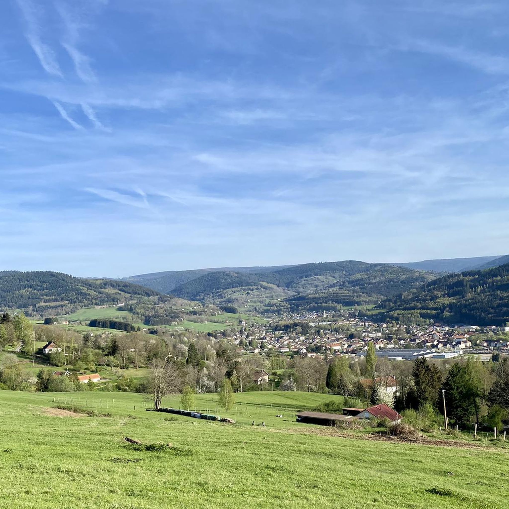
Gravel biking around Saulcy-Sur-Meurthe offers varied terrain within the Vosges mountains in northeastern France. The region is characterized by the Meurthe River valley, flanked by forested hills and plateaus, with elevations ranging from 359 to 740 meters. Dense forests cover a significant portion of the area, providing extensive networks of paths suitable for gravel cycling. The undulating topography includes both challenging climbs and scenic descents, with features like the Kemberg Massif offering panoramic viewpoints.
Best gravel bike trails around Saulcy-Sur-Meurthe
…Last updated: July 3, 2026
4.0
(2)
9
riders
31.8km
02:11
480m
480m
Hard gravel ride. Very good fitness required. Mostly paved surfaces. Suitable for all skill levels.
5
riders
44.3km
03:20
910m
910m
Hard gravel ride. Very good fitness required. Mostly paved surfaces. Suitable for all skill levels.

Sign up for free
3.5
(2)
3
riders
18.8km
01:25
510m
510m
Hard gravel ride. Very good fitness required. Mostly paved surfaces. Suitable for all skill levels.
2
riders
27.5km
02:04
510m
510m
Hard gravel ride. Very good fitness required. Mostly paved surfaces. Suitable for all skill levels.
4.0
(1)
4
riders
18.7km
01:36
450m
450m
Moderate gravel ride. Good fitness required. Mostly paved surfaces. Suitable for all skill levels.
Get access to more routes and recommendations from other explorers.
Sign up for free
Already have an account?
Our route recommendations are based on thousands of hikes, rides, and runs completed by other people on komoot.
Start today with a free account
Your next adventure awaits.
Login or Signup
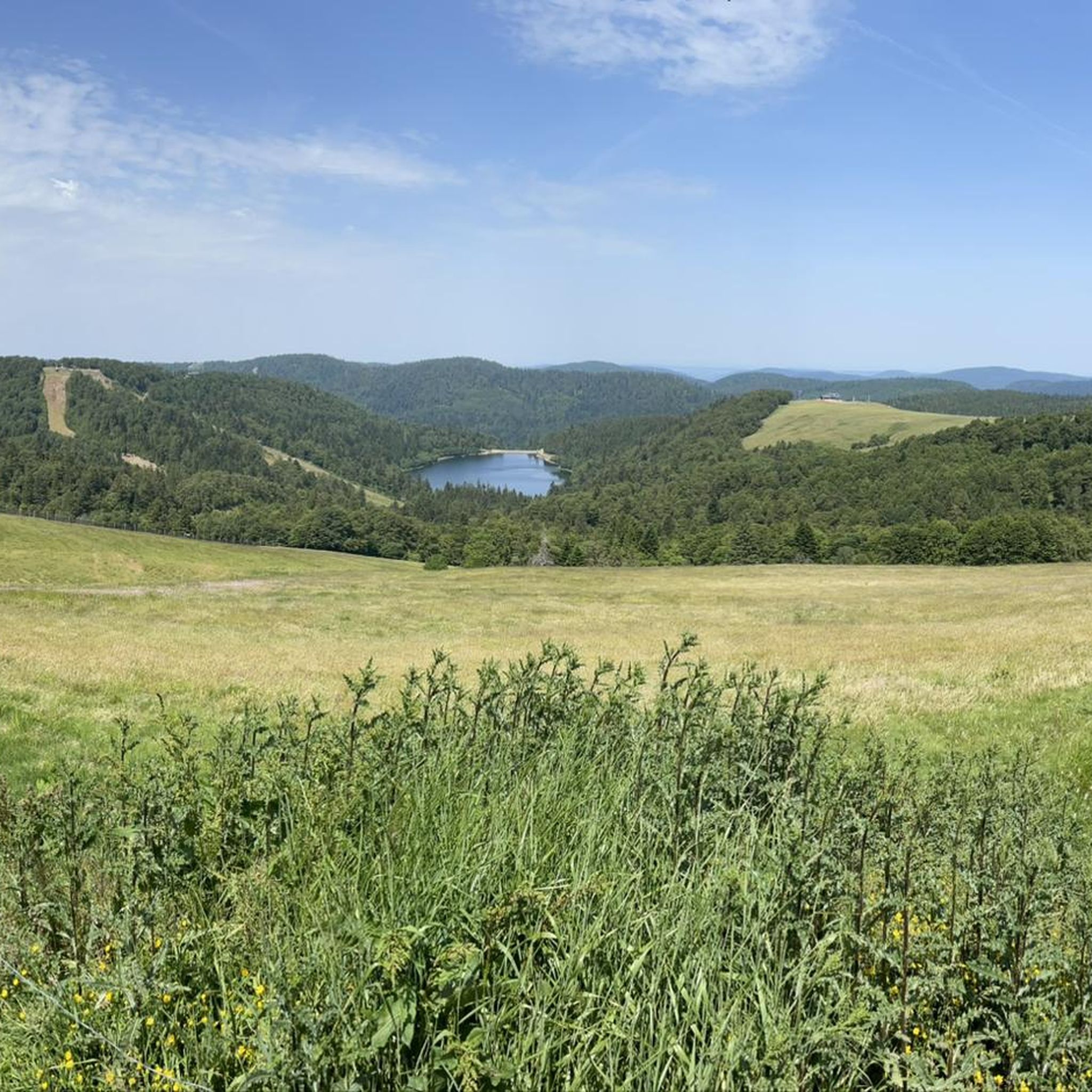
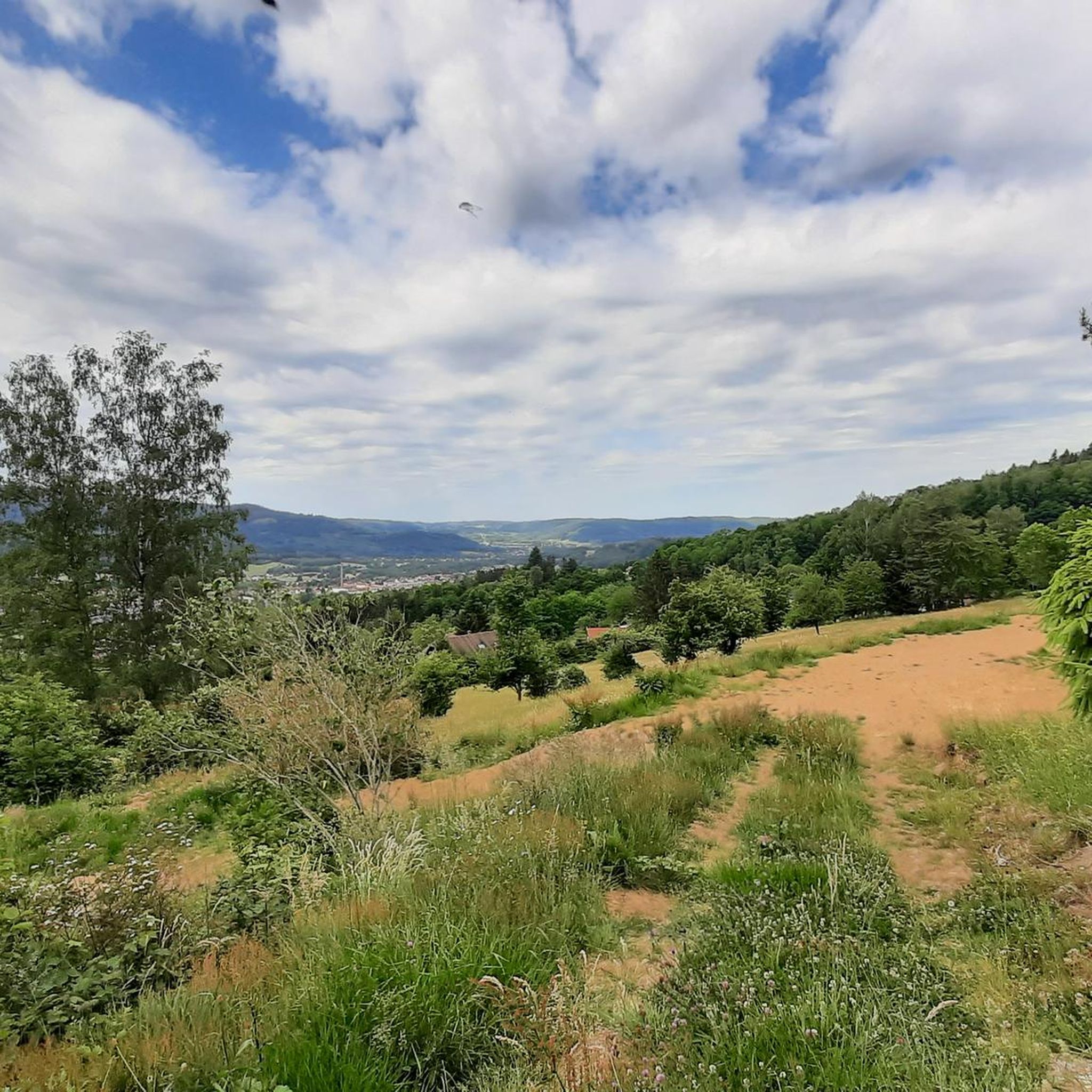
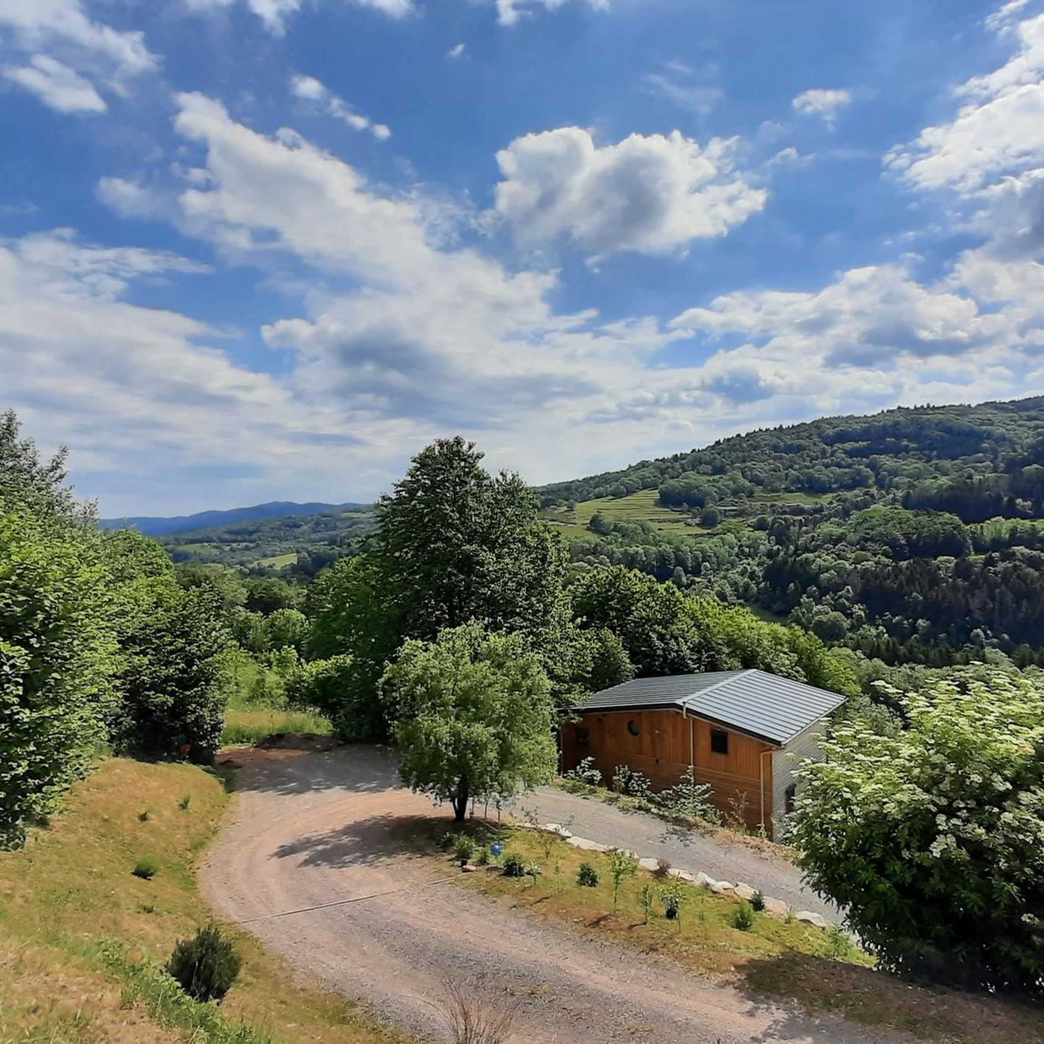
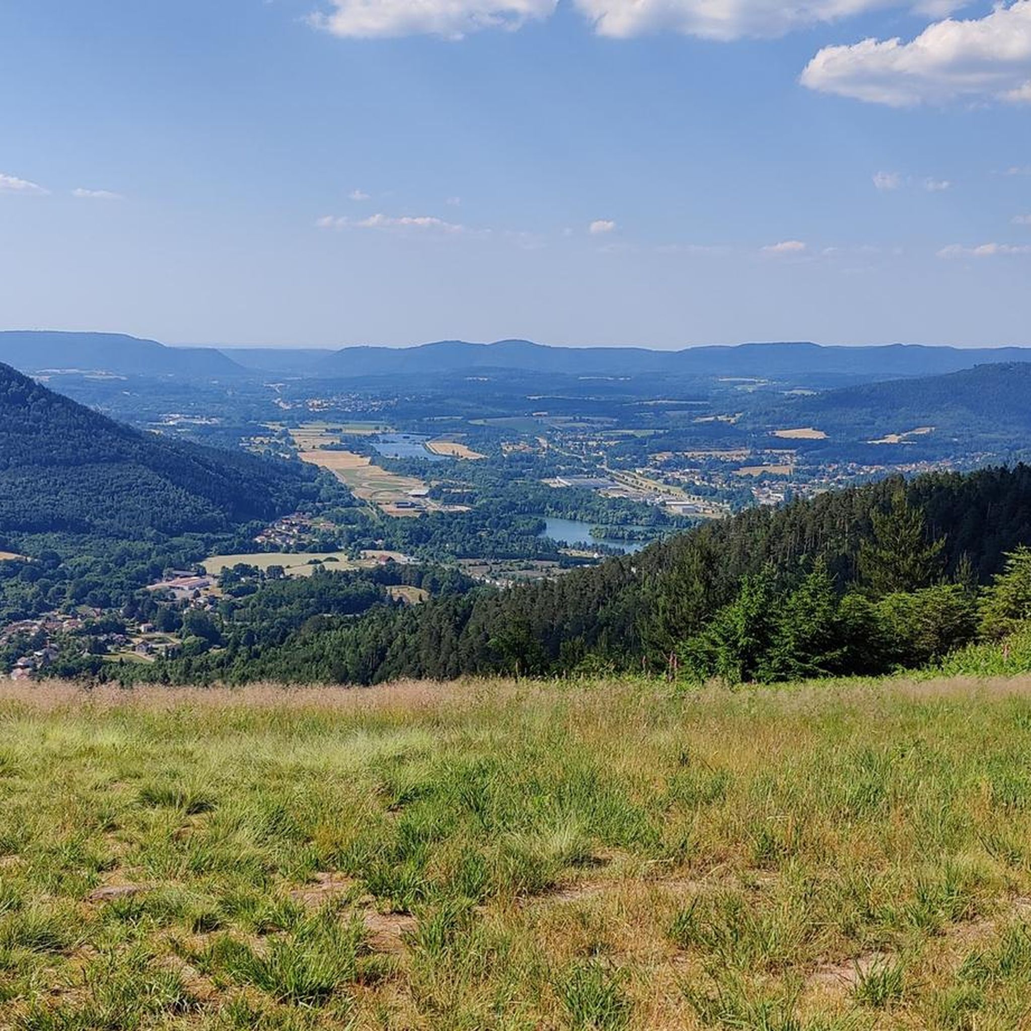
Tips from the Community

yes up there you have a good view
2
0

Also serves coffee for great prices
0
0

The path up to the head of Osseux is easy and from the top the view is magnificent.
0
0

A bench to sit on and enjoy a magnificent view of the valley
0
0

Since the 13th century, a hospice was maintained there by the church. and welcomed pilgrims, travelers and the city's sick. At the request of the inhabitants of this suburb, a church was built there, while a new, more spacious hospital was erected on the right bank of the Meurthe. The church was dedicated to Saint-Martin and was consecrated in 1728. On July 14, 1895, during the National Day fireworks display, the church was set on fire by a rocket which hit the roof covered with fir twigs and burned to the ground. According to the plans of the Parisian architect Heubès, a new Vosges sandstone church was built in the "floral Romanesque" style and consecrated on August 13, 1902.
3
0

Magnificent Roche St Martin
3
1

Beautiful view of the valley and the mountains opposite
0
0

As early as the 7th century, Deodatus (French Dieudonné), who was revered by the people as a saint, is said to have founded a monastery here, from which a community of canons then developed in the 10th century. At that time the church wore the patron saint of St. Mauritius. The diocese of Saint-Dié was only established in 1777 by Pope Pius VI. († 1799) built. The church building, which was built in different architectural styles, was blown up by the Germans in 1944, destroying the entire nave and the choir area along with their vaults. The reconstruction lasted until 1974; in this year the church was newly consecrated. Most of the stained glass windows were made and inserted in the 1980s. https://en.wikipedia.org/wiki/Cathedral_of_Saint-Di%C3%A9
3
0
Frequently Asked Questions
What is the general difficulty level of gravel biking trails around Saulcy-Sur-Meurthe?
Gravel biking around Saulcy-Sur-Meurthe is primarily suited for experienced riders. The region's trails, characterized by forested hills and varied elevations, predominantly feature moderate to difficult routes. There are no easy routes listed in the area, so be prepared for challenging climbs and descents.
Are there any beginner-friendly gravel bike trails in Saulcy-Sur-Meurthe?
The gravel bike trails around Saulcy-Sur-Meurthe are generally geared towards experienced riders, with most routes classified as moderate to difficult. There are no easy routes available in the immediate vicinity, so beginners might find the terrain challenging.
What kind of terrain can I expect on gravel bike trails in the Vosges region around Saulcy-Sur-Meurthe?
You can expect a diverse landscape featuring forested hills, numerous cols (mountain passes), and ridges. The terrain includes varied elevations, offering both demanding climbs and scenic descents, typical of the Vosges mountains.
How many gravel bike trails are available around Saulcy-Sur-Meurthe?
There are over 15 gravel bike trails available around Saulcy-Sur-Meurthe, with 8 routes classified as moderate and 9 as difficult, catering to experienced riders.
Are there any family-friendly gravel biking options in Saulcy-Sur-Meurthe?
Given that most gravel bike trails around Saulcy-Sur-Meurthe are rated as moderate to difficult, they may not be suitable for families with young children or those seeking very easy rides. The routes often involve significant elevation changes and longer distances.
What are some scenic gravel bike trails with good viewpoints in the area?
Many routes offer panoramic views of the Vosges mountains. For example, the Climb Col de Grosse Pierre – View of Lake Lispach loop from Corcieux provides views towards Lake Lispach. Additionally, the Col de Bramont – La route des crêtes loop from Corcieux traverses high ridges with extensive vistas. You can also find viewpoints like Dry Fir Rock, La Roche Saint-Martin and View of Saint-Dié, and Roche de Boslimpré along various routes.
Are there any notable landmarks or attractions to see along the gravel bike routes?
Yes, several interesting landmarks and natural features can be found. You might pass through mountain passes like Col de Mandray or Col du Pré de Raves. Historical sites such as the La Bure Celtic Camp are also in the vicinity, offering a glimpse into the region's past.
What do other gravel bikers say about the trails in Saulcy-Sur-Meurthe?
The gravel bike trails around Saulcy-Sur-Meurthe are highly rated by the komoot community, with an average score of 3.9 stars from over 10 reviews. More than 50 gravel bikers have explored the varied terrain, often praising the challenging nature and scenic beauty of the routes.
Are there any good loop routes for gravel biking near Saulcy-Sur-Meurthe?
Yes, many of the popular gravel bike routes in the area are loops. Examples include the Church in Gerbépal – Beautiful view loop from Gerbépal, which offers scenic vistas, and the Tour de la Liberté loop from Saint-Dié-des-Vosges, providing a diverse riding experience.
What is a good longer gravel bike route for experienced riders?
For experienced riders looking for a significant challenge, the Col de Bramont – La route des crêtes loop from Corcieux is an excellent choice. This difficult route spans 70.5 miles (113.5 km) with substantial elevation gain, traversing high ridges and offering panoramic views of the Vosges mountains.
What is a good shorter gravel bike route for experienced riders?
If you're looking for a shorter, yet still challenging, gravel ride, consider the Gravelicious 🤩😂 – Usine Le Corbusier loop from Saint-Dié-des-Vosges. This difficult route is 19.6 miles (31.6 km) long and typically takes about 2 hours and 35 minutes to complete, leading through varied terrain.
Most popular routes around Saulcy-Sur-Meurthe
Most popular attractions around Saulcy-Sur-Meurthe

Get inspired with the komoot mobile app


Explore more
Browse the best Gravel rides in other regions.
