The best road cycling routes around Saulcy-Sur-Meurthe
4.3
(533)
8,167
riders
210
rides
Road cycling routes around Saulcy-Sur-Meurthe are situated within the Vosges department, characterized by a low mountain range offering diverse terrain. The region features the Kemberg massif and the Meurthe river valley, providing a mix of challenging climbs and serene roads. Cyclists can expect varied landscapes, including mountain passes and dense pine forests, suitable for different skill levels.
Best road cycling routes around Saulcy-Sur-Meurthe
- The most popular road cycling route is Mandray Pass – Bagenelles Pass loop from Saulcy-sur-Meurthe, a…
Last updated: October 8, 2026
3.8
(5)
60
riders
45.2km
02:13
560m
560m
Moderate road ride. Good fitness required. Mostly well-paved surfaces and easy to ride.
5.0
(1)
31
riders
78.6km
03:16
420m
420m
Moderate road ride. Good fitness required. Mostly well-paved surfaces and easy to ride.

4.5
(4)
28
riders
51.4km
02:37
790m
790m
Moderate road ride. Good fitness required. Some segments of this route may be unpaved and difficult to ride.
5.0
(2)
22
riders
44.6km
02:00
460m
460m
Moderate road ride. Good fitness required. Mostly well-paved surfaces and easy to ride.
4.0
(1)
15
riders
74.8km
03:38
990m
990m
Hard road ride. Very good fitness required. Mostly well-paved surfaces and easy to ride.
Get access to more routes and recommendations from other explorers.
Already have an account?
Our route recommendations are based on thousands of hikes, rides, and runs completed by other people on komoot.
Start today with a free account
Your next adventure awaits.
Tips from the Community


If you take the climb from Mandray village - and follow the - rusty - sign to the Col - that is different kind of cookie! 2, 9 km , averages at 11% with peaks up to 17%, and tough road conditions. Descend to Fraize is a blast!
0
0

Beautiful route, pleasant but lots of bikers...
0
0

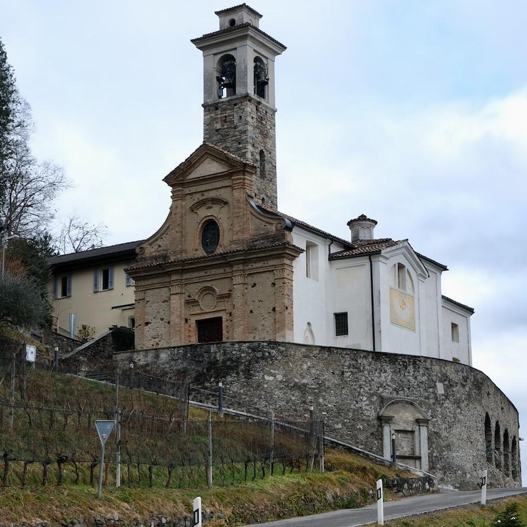
It is located on the left bank of the Meurthe, at number 14 rue Denfert-Rochereau. The Saint-Georges church is the church of La Neuveville-lès-Raon, which merged with Raon-l'Etape in 1947. It was built between 1835 and 1838 according to the plans of the district architect Boucher de Saint-Dié. The church was fitted out in 1894. In 1905 the dome was rebuilt. From 1973 to 1978, major restoration work was carried out, both interior and exterior. Inside, among other things, there is an old statue of Our Lady of Sorrows, a painting of Saint Nicholas, who is also the patron saint of wood-floaters, a painted wooden Christ, and a memorial chapel (1922).
0
0

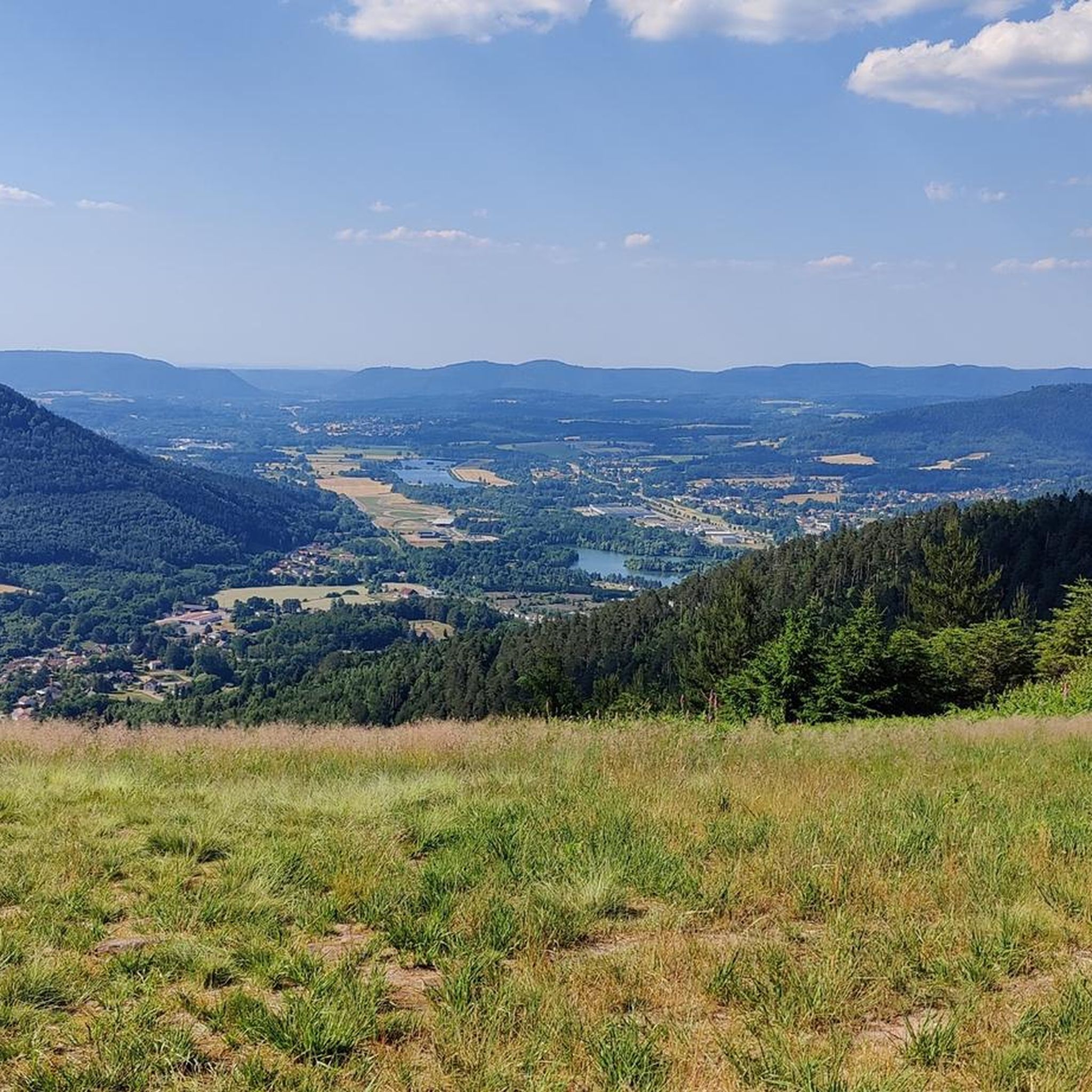
yes up there you have a good view
2
0

We first hiked the route along the upper slope, bringing some food and water. It was a beautiful walk, and on the way back, we made a nice stop in the village. Be sure to check the restaurant opening hours.
0
0

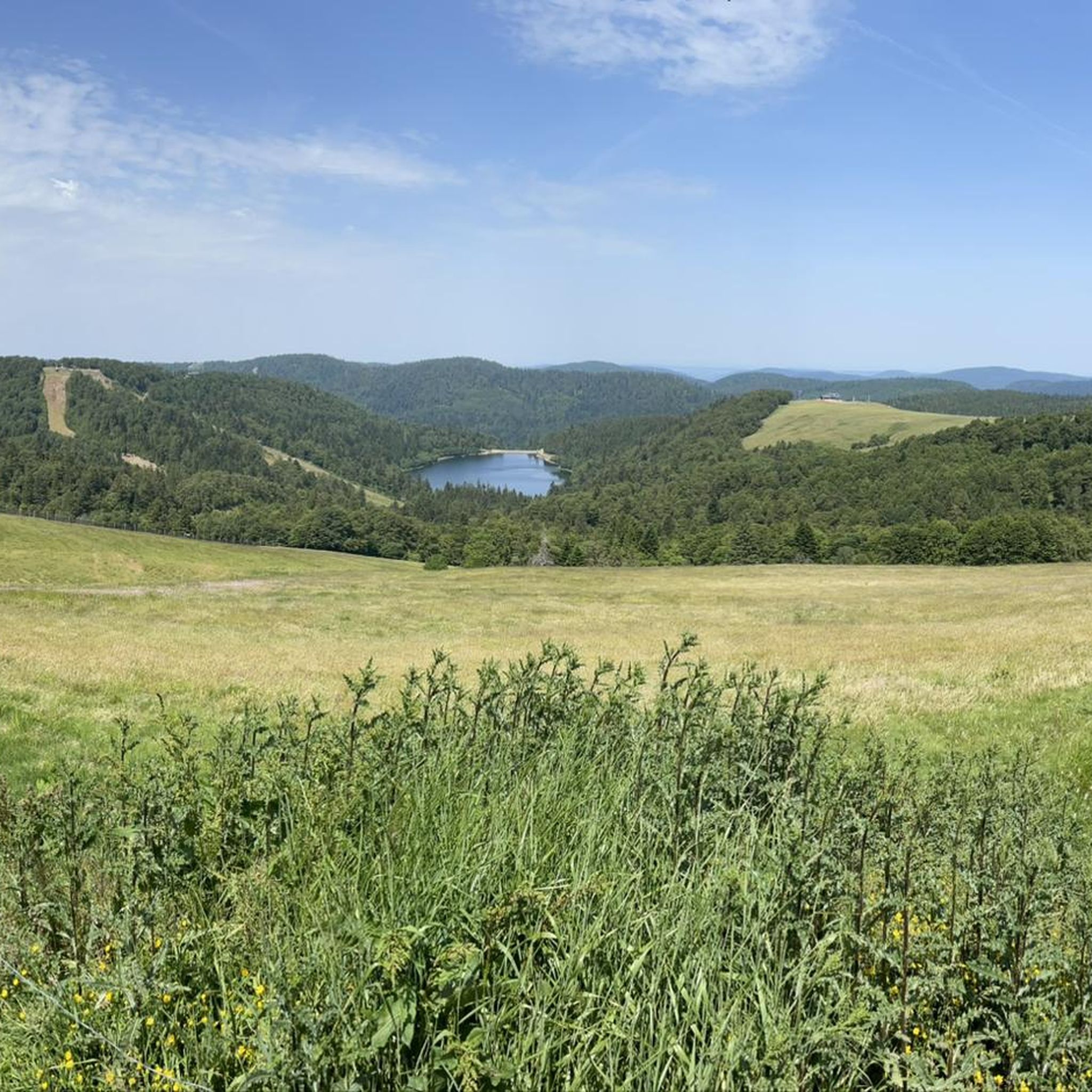
Situated in the heart of the Vosges, this dam, together with Lac de la Plaine, forms an important water reservoir. The dam was built to feed Lac de Pierre-Percée via an underground system. The climb up to it is gradual and rewards you with a view of the peaceful Lac de la Plaine. The road along the lake is ideal for a breather, with little traffic and lots of nature. Perfect for a short break or a photo opportunity during your ride.
9
0

Winding and with nice views. Best when descending (like all car-domained roads)
0
0
Frequently Asked Questions
How many road cycling routes are available around Saulcy-sur-Meurthe?
There are over 200 road cycling routes in the Saulcy-sur-Meurthe area. These routes cater to various skill levels, from moderate rides through forests to challenging ascents over mountain passes.
What kind of terrain can I expect on the road cycling routes in this region?
The terrain around Saulcy-sur-Meurthe is diverse, characterized by the Kemberg massif, the scenic Meurthe river valley, and numerous mountain passes. You'll find a mix of challenging climbs, such as the Col de Mandray, and serene roads, often on paved surfaces, offering varied landscapes including dense pine forests and open pastures.
Are there road cycling routes suitable for beginners?
Yes, out of the over 200 routes, 27 are classified as easy, making them suitable for beginners or those looking for a more relaxed ride. These routes often feature less elevation gain and provide a gentle introduction to the region's beautiful scenery.
Are there challenging routes for experienced road cyclists?
Absolutely. For experienced cyclists seeking a challenge, there are 61 difficult routes available. These often involve significant elevation gain across multiple mountain passes, such as the Col de Mandray – Col du Bonhomme loop from Saint-Léonard, providing demanding ascents and rewarding views.
What natural features or landmarks can I see along the road cycling routes?
The region is rich in natural beauty. You can encounter mountain passes like the Col de Mandray and Col du Pré de Raves, offering panoramic views. The Meurthe river valley provides picturesque scenery, and you might spot unique rock formations like Dry Fir Rock or La Roche Saint-Martin.
Are there any historical sites to explore while cycling?
Yes, the region offers historical points of interest. Notably, the La Bure Celtic Camp is a fortified plateau with archaeological significance, showcasing evidence of Celtic and Roman presence. It can be a fascinating stop during your cycling excursions.
What do other road cyclists enjoy most about cycling in Saulcy-sur-Meurthe?
The area is highly rated by the komoot community, with an average score of 4.2 stars from over 390 reviews. Cyclists often praise the varied terrain, the mix of challenging climbs and serene roads, and the beautiful natural landscapes, including the Kemberg massif and the Meurthe river valley.
Are there any circular road cycling routes available?
Yes, many of the routes in the region are designed as loops. For example, the Saint-Dié Cathedral – Fave Valley loop from Saulcy-sur-Meurthe offers a moderate circular ride, allowing you to start and finish in the same location.
How long do road cycling routes typically take in this area?
Route durations vary significantly based on distance and difficulty. For instance, a moderate route like the Col de haute jaques loop from Taintrux might take around 1 hour 40 minutes, while longer, more challenging loops can extend to 3 hours or more.
Can I combine road cycling with other outdoor activities in Saulcy-sur-Meurthe?
Absolutely. Beyond road cycling, the region is excellent for other outdoor pursuits. The Kemberg massif offers numerous hiking trails leading to various viewpoints, and the commune also features a 'parcours de santé' (fitness trail) in a natural setting for general fitness activities.
Where can I find parking for road cycling routes in Saulcy-sur-Meurthe?
While specific parking locations aren't detailed for every route, Saulcy-sur-Meurthe and surrounding towns like Saint-Léonard or Taintrux typically offer public parking areas. It's advisable to check local signage upon arrival for the most convenient spots near your chosen starting point.
Are there places to eat or drink along the road cycling routes?
The routes often pass through or near small villages and towns in the Vosges, where you can find local cafes, bakeries, or restaurants to refuel. It's always a good idea to carry sufficient water and snacks, especially on longer routes, as services may be spaced out.
Most popular routes around Saulcy-Sur-Meurthe
Most popular attractions around Saulcy-Sur-Meurthe

Get inspired with the komoot mobile app


Explore more
Browse the best Road cycling routes in other regions.
