The best gravel rides around Weiler
4.6
(36)
502
riders
54
rides
Gravel biking around Weiler offers routes through a landscape characterized by significant elevation changes and mountain passes. The region features challenging climbs and descents, often traversing high points like the Grand Ballon. Riders can expect varied terrain, including sections along ridge roads and through mountainous areas, providing opportunities for exploring the natural environment on gravel-specific paths.
Best gravel bike trails around Weiler
- The most popular gravel bike trail is Col Amic Pass – Climb to Grand Ballon loop from Wattwiller…
Last updated: August 12, 2026
5.0
(2)
24
riders
16.9km
01:30
570m
570m
Hard gravel ride. Very good fitness required. Mostly paved surfaces. Suitable for all skill levels.
5.0
(5)
68
riders
43.7km
03:38
1,390m
1,390m
Hard gravel ride. Very good fitness required. Mostly paved surfaces. Suitable for all skill levels.

Sign up for free
5.0
(1)
14
riders
21.4km
01:48
680m
680m
Hard gravel ride. Very good fitness required. Mostly paved surfaces. Suitable for all skill levels.
9
riders
72.4km
06:17
1,910m
1,910m
Hard gravel ride. Very good fitness required. Mostly paved surfaces. Suitable for all skill levels.
4.2
(6)
56
riders
52.7km
03:56
1,260m
1,260m
Hard gravel ride. Very good fitness required. Mostly paved surfaces. Suitable for all skill levels.
Get access to more routes and recommendations from other explorers.
Sign up for free
Already have an account?
Our route recommendations are based on thousands of hikes, rides, and runs completed by other people on komoot.
Start today with a free account
Your next adventure awaits.
Login or Signup
Tips from the Community

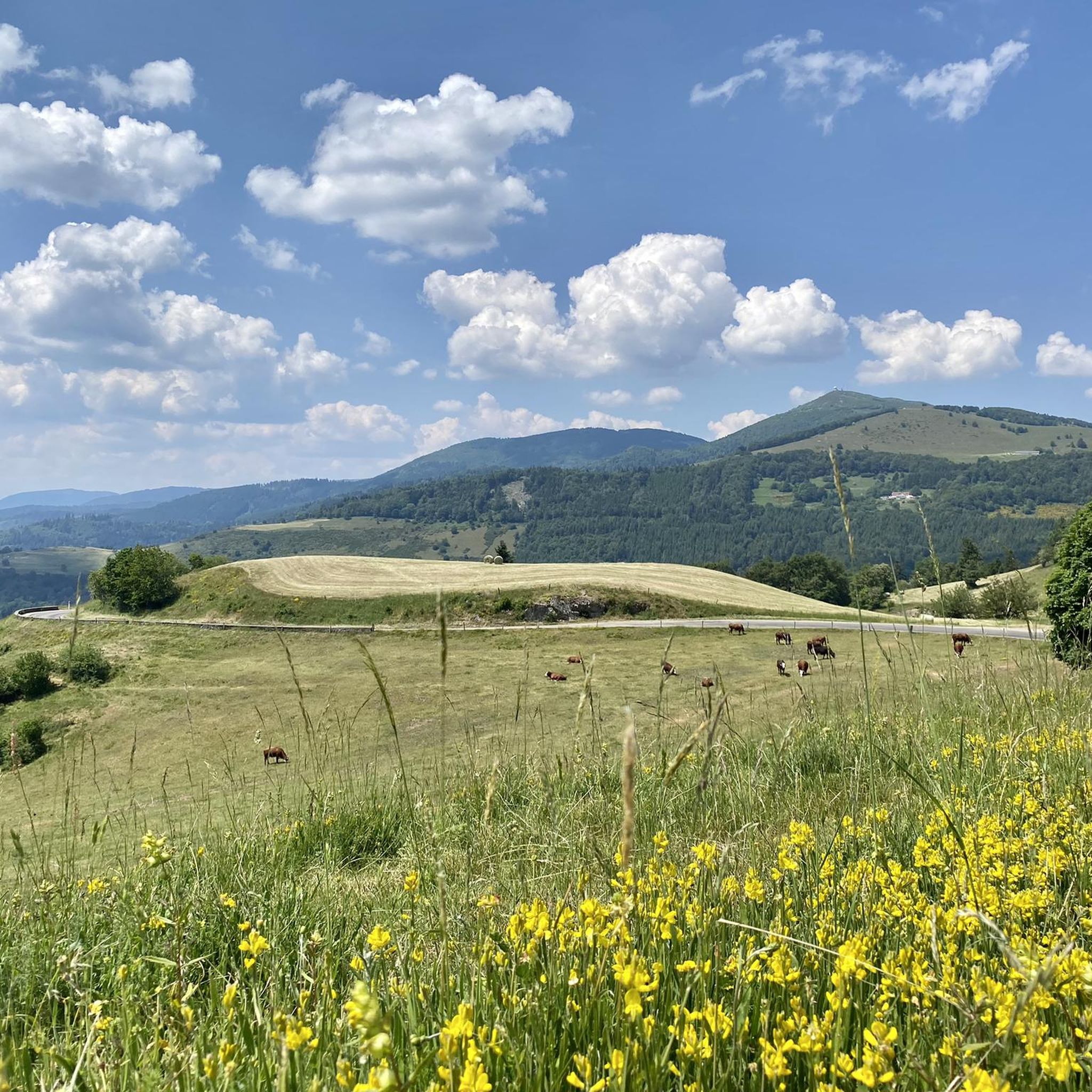
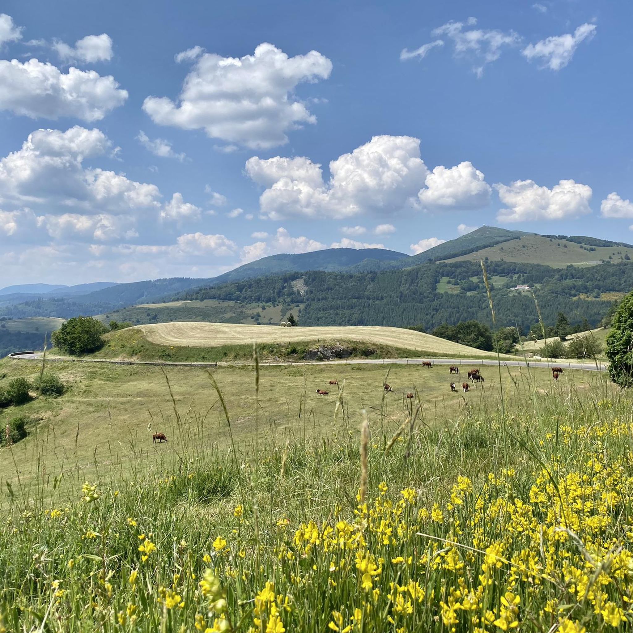
The 14th stage led up here to Le Haag and on to the finish at Le Markstein. You could experience the athletes up close.
0
0

super nice to ride the climb
0
0

The Tour de France passed through there on July 18, 2026.
1
0
The Tour de France passed through there on July 18, 2026.
2
0

This is an amazing wild camping spot. I am sorry it didn't work for my trail but it is almost worth doing ti again just to sleep here...
0
0


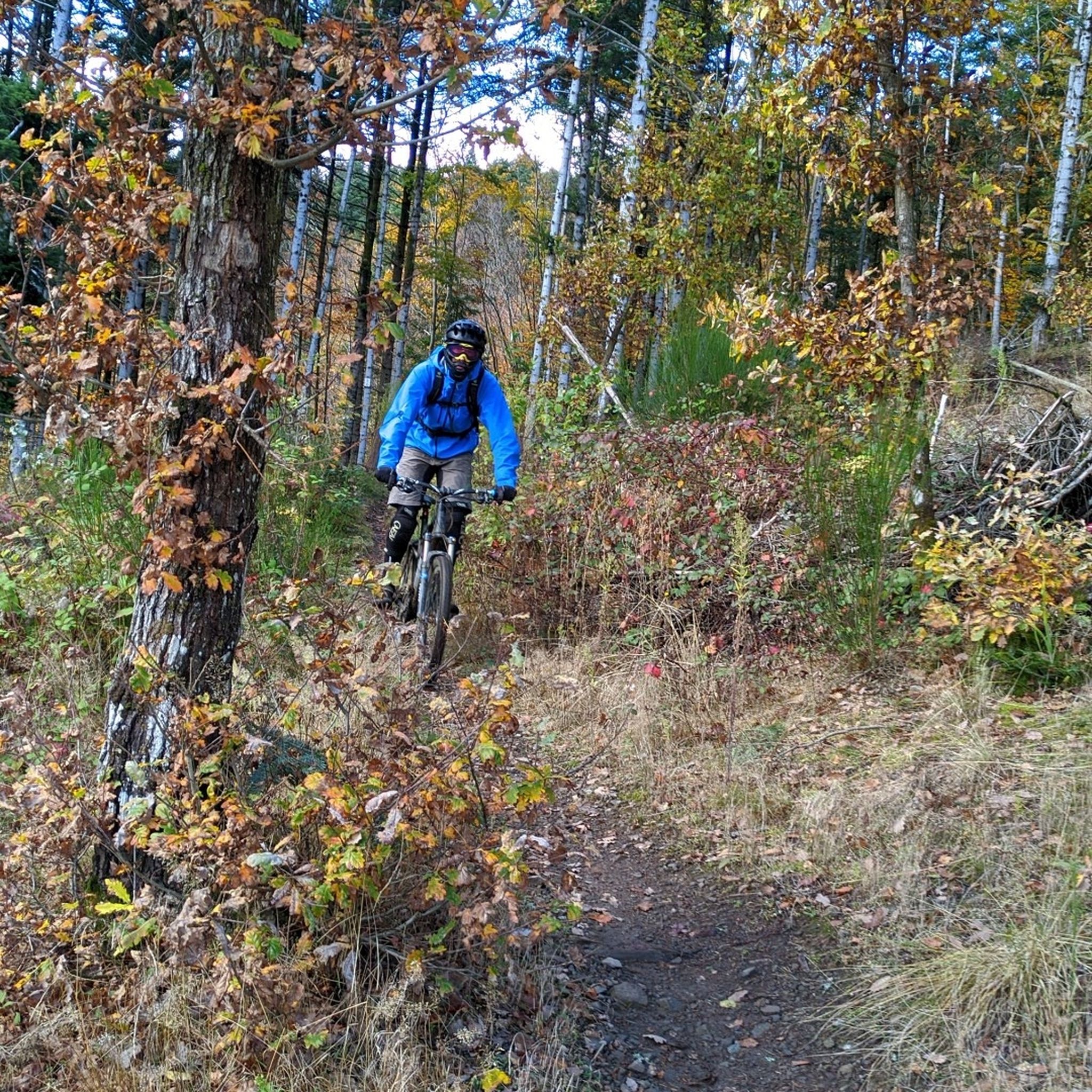
Lovingly nicknamed "the Autobahn" by me, it leads from Geishouse up to the Col du Haag, and is designed so that there is rarely a gradient over 10%. The Tour de France also rides up here 😬
1
0
Frequently Asked Questions
How many gravel bike trails are there in Weiler?
Weiler offers a wide selection of gravel bike trails, with over 50 routes available. The region is particularly known for its challenging terrain, featuring significant elevation changes and mountain passes.
What is the best time of year for gravel biking in Weiler?
The best time for gravel biking in Weiler is typically from late spring to early autumn, when the weather is most stable and the mountain passes are clear. Given the region's high elevations and challenging climbs, conditions can be more demanding outside of these months.
Are there challenging gravel bike routes in Weiler?
Yes, Weiler is renowned for its challenging gravel bike routes. A significant majority of the trails, over 40, are rated as difficult, featuring substantial climbs and descents. Routes like Col de Bramont – La route des crêtes loop from Grand Ballon and Markstein – Grand Ballon loop from Geishouse offer extensive elevation gains and panoramic views.
Are there any easy or beginner-friendly gravel bike trails around Weiler?
While Weiler is known for its challenging terrain, there are a few easier options available. The region offers 3 routes classified as easy and 6 as moderate, providing opportunities for less experienced riders to enjoy the landscape without tackling the most demanding climbs.
Can I find circular gravel bike routes in Weiler?
Many of the gravel bike routes in Weiler are designed as loops, allowing you to start and finish at the same point. Examples include the Col Amic Pass – Climb to Grand Ballon loop from Wattwiller and the Grand Ballon – Col Amic Pass loop from Steinbach, which offer varied distances and elevations.
What scenic viewpoints can I expect on gravel bike routes in Weiler?
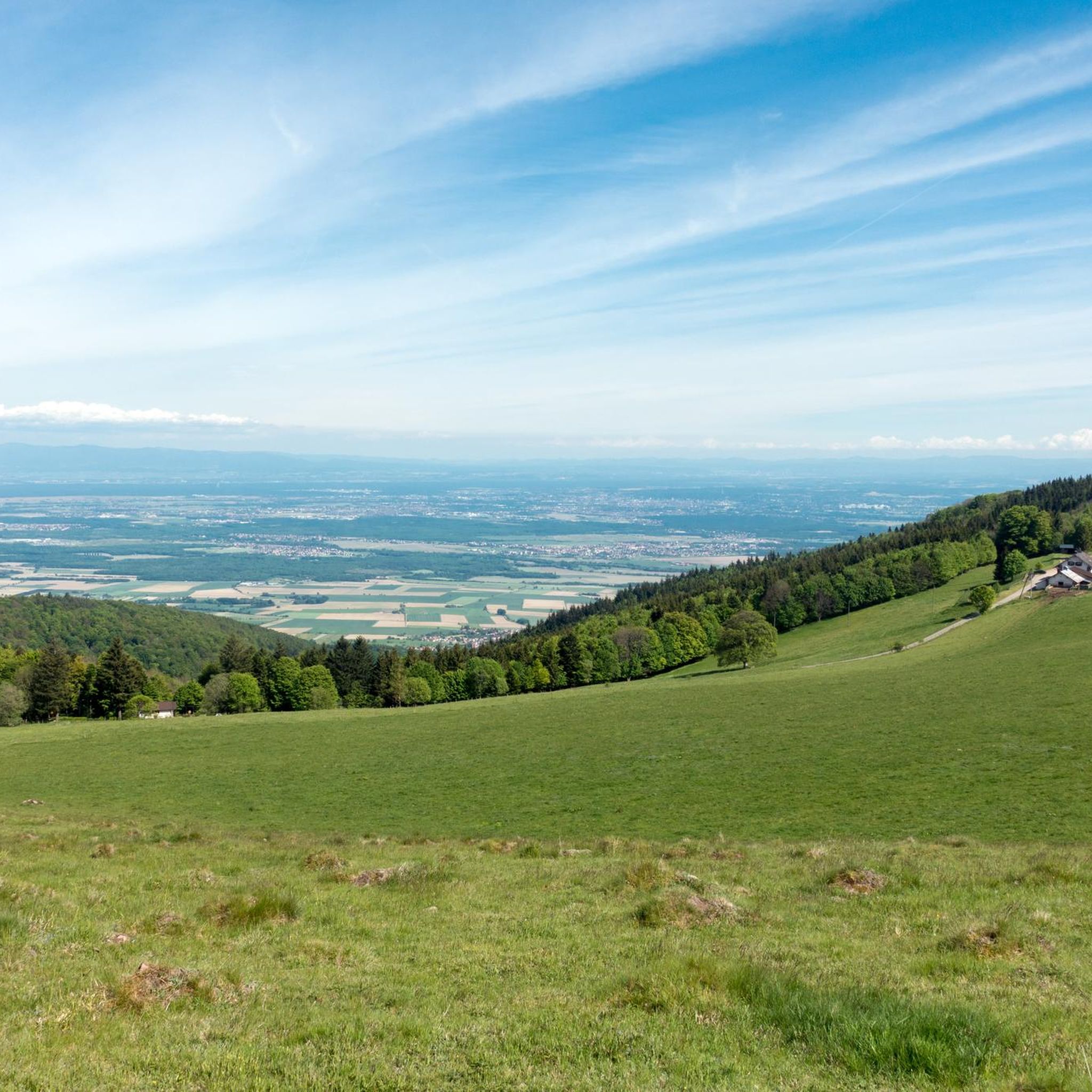
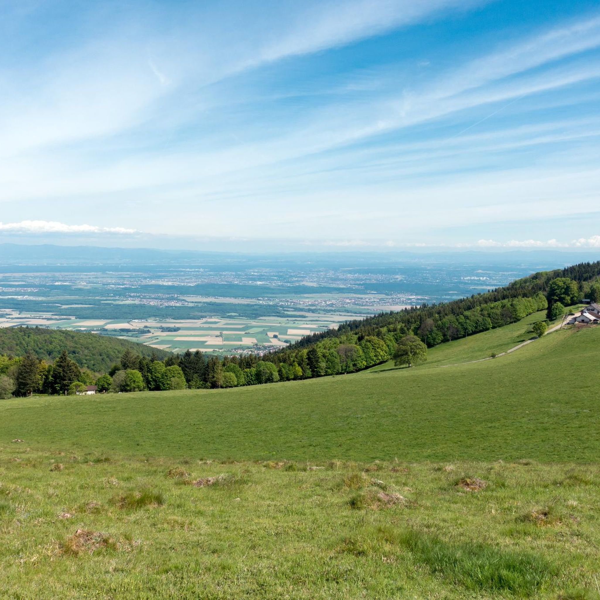
Gravel bike routes in Weiler often traverse high points and ridge roads, offering extensive views. You can expect panoramic vistas from locations such as the Grand Ballon peak and various mountain passes like Markstein and Haag Pass. These routes provide stunning perspectives of the surrounding mountainous landscape.
Are there any interesting landmarks or natural attractions along the gravel bike trails in Weiler?
Yes, the region around Weiler is rich in natural attractions. Along the trails, you might encounter several mountain passes such as Climb to Col Amic and Hundsruck Pass. There are also beautiful lakes like Ballon Lake and Lac des Perches (Star Lake), which can be explored as part of your ride.
What do other gravel bikers enjoy most about the trails in Weiler?
The gravel biking experience in Weiler is highly rated by the komoot community, with an average score of 4.6 stars from nearly 30 reviews. Riders frequently praise the challenging ascents, the rewarding descents along scenic ridge roads, and the extensive views from high elevations, particularly around the Grand Ballon.
Are there family-friendly gravel biking options in Weiler?
Given the region's characteristic significant elevation changes and numerous difficult routes, truly flat and easy family-friendly gravel biking options are limited. However, some of the easier classified routes might be suitable for families with older, more experienced children. Always check the route's elevation profile and distance before setting out.
What are some shorter gravel bike routes near Weiler?
For those looking for shorter rides, the Col Amic Pass – Climb to Grand Ballon loop from Wattwiller is a good option at 22.2 miles (35.7 km), typically completed in under 3 hours. Another relatively shorter route is the Ascent to Col Amic – Col Amic Pass loop from Wattwiller, which is 27 km long.
Can I go gravel biking in Weiler during winter?
Gravel biking in Weiler during winter can be challenging due to the high elevations and mountain passes. Snow and ice can make many routes impassable or dangerous. It's advisable to check local weather and trail conditions carefully, and consider sticking to lower elevation routes if attempting to ride in winter.
Are there gravel bike routes accessible by public transport in Weiler?
While specific public transport access points for each gravel route are not detailed, many routes start from towns or villages that may have public transport connections. It's recommended to research local bus or train services to the starting points of your chosen routes, such as Wattwiller or Geishouse, to plan your access.
Most popular attractions around Weiler

Get inspired with the komoot mobile app


Explore more
Browse the best Gravel rides in other regions.
