The best running trails around Weiler
4.5
(301)
13,598
runners
625
runs
Jogging routes around Weiler traverse a landscape characterized by significant elevation changes, including challenging ascents and descents. The region features routes that lead through mountainous terrain, offering panoramic views and passes. These running trails often involve substantial climbs, making them suitable for experienced runners seeking demanding workouts.
Best jogging routes around Weiler
- The most popular jogging route is Grand Ballon – Haag Pass loop from Willer-sur-Thur, a 16.6 miles (26.7 km) trail that takes 3 hours 40 minutes to…
Last updated: October 29, 2026
4.8
(5)
101
runners
26.9km
03:42
1,170m
1,170m
Hard run. Very good fitness required. Sure-footedness, sturdy shoes and alpine experience required.
5.0
(1)
55
runners
Moderate run. Good fitness required. Mostly paved surfaces.

4.0
(3)
52
runners
Moderate run. Good fitness required. Mostly paved surfaces.
5.0
(1)
39
runners
12.8km
01:56
680m
680m
Hard run. Very good fitness required. Mostly paved surfaces.
29
runners
26.8km
03:45
1,190m
1,190m
Hard run. Very good fitness required. Sure-footedness, sturdy shoes and alpine experience required.
Get access to more routes and recommendations from other explorers.
Already have an account?
Our route recommendations are based on thousands of hikes, rides, and runs completed by other people on komoot.
Start today with a free account
Your next adventure awaits.

Tips from the Community

The Col du Hunsrück (748 m) is a quiet and wooded pass above Willer-sur-Thur. The steady climb and beautiful nature make this a pleasant classic in the southern Vosges, with connections to both the Thur and Dollervallei valleys.
6
0
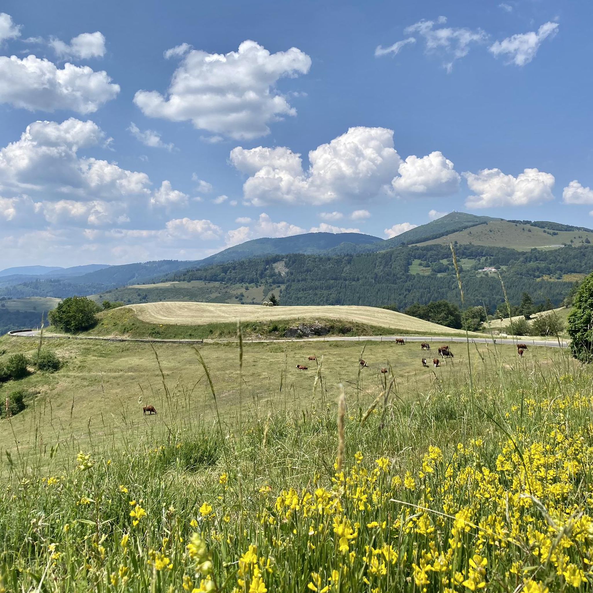
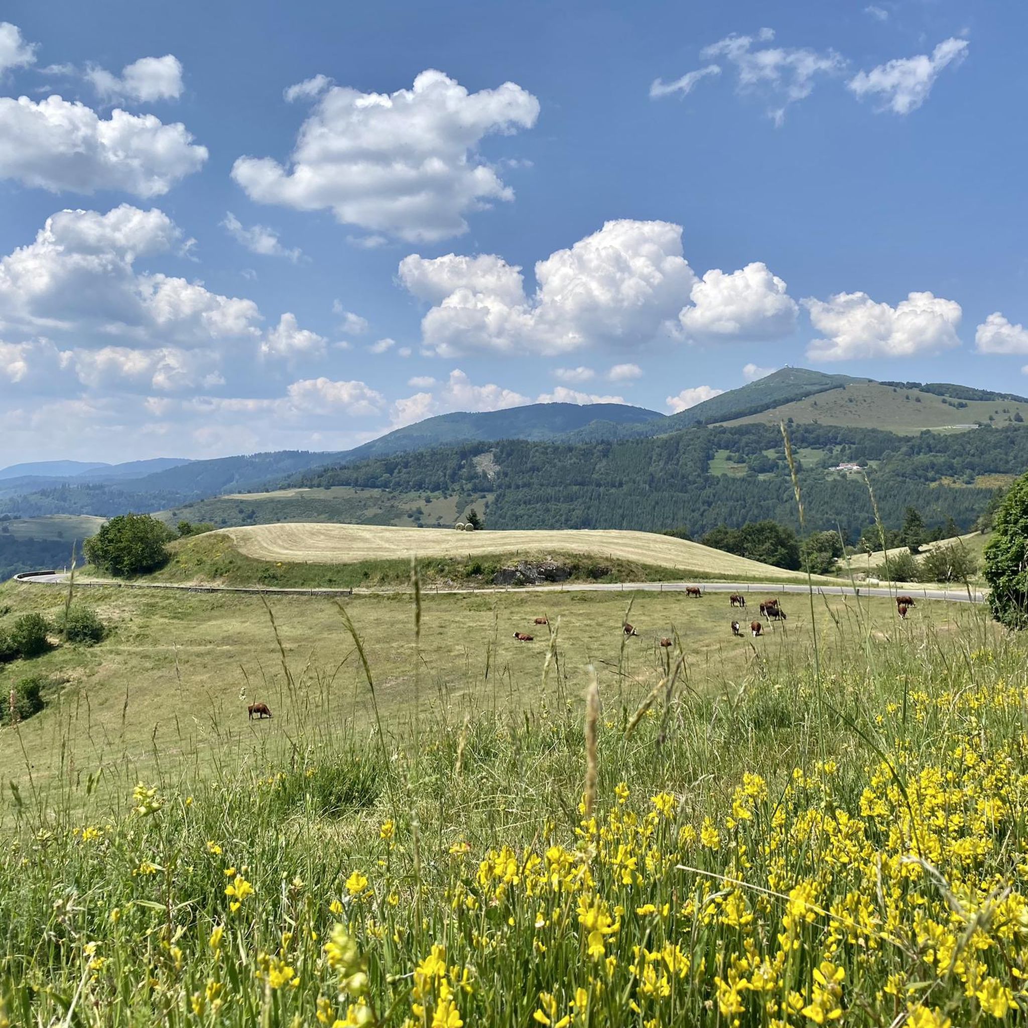
The Ferme-Auberge du Haag is a traditional mountain inn located near the Col du Haag (1233 m), at the foot of the Grand Ballon. For generations, the farms on the higher Vosges ridges have been welcoming hikers, cyclists, and winter sports enthusiasts. The Haag farm is situated in the middle of mountain pastures, with a beautiful view over the southern Vosges and the Grand Ballon.
6
0
When you drive from the Route des Crêtes towards Le Grand Ballon, you pass the Col du Haag (1233 m) almost unnoticed. Yet, this pass marks a special point on the southern flank of the highest mountain in the Vosges. Here, steep roads from the Thurdal leave the wooded slopes and reach the open heights of the massif. From the col, a typical Vosges landscape unfolds with mountain meadows, scattered farms, and sweeping views. The proximity of the Grand Ballon is felt everywhere: the imposing summit towers above the pass and forms the natural goal of the final climbing kilometers. For cyclists, the Col du Haag is mainly known as the point where difficult climbs from the valleys converge before the road continues to rise to the highest point of the Vosges.
6
0

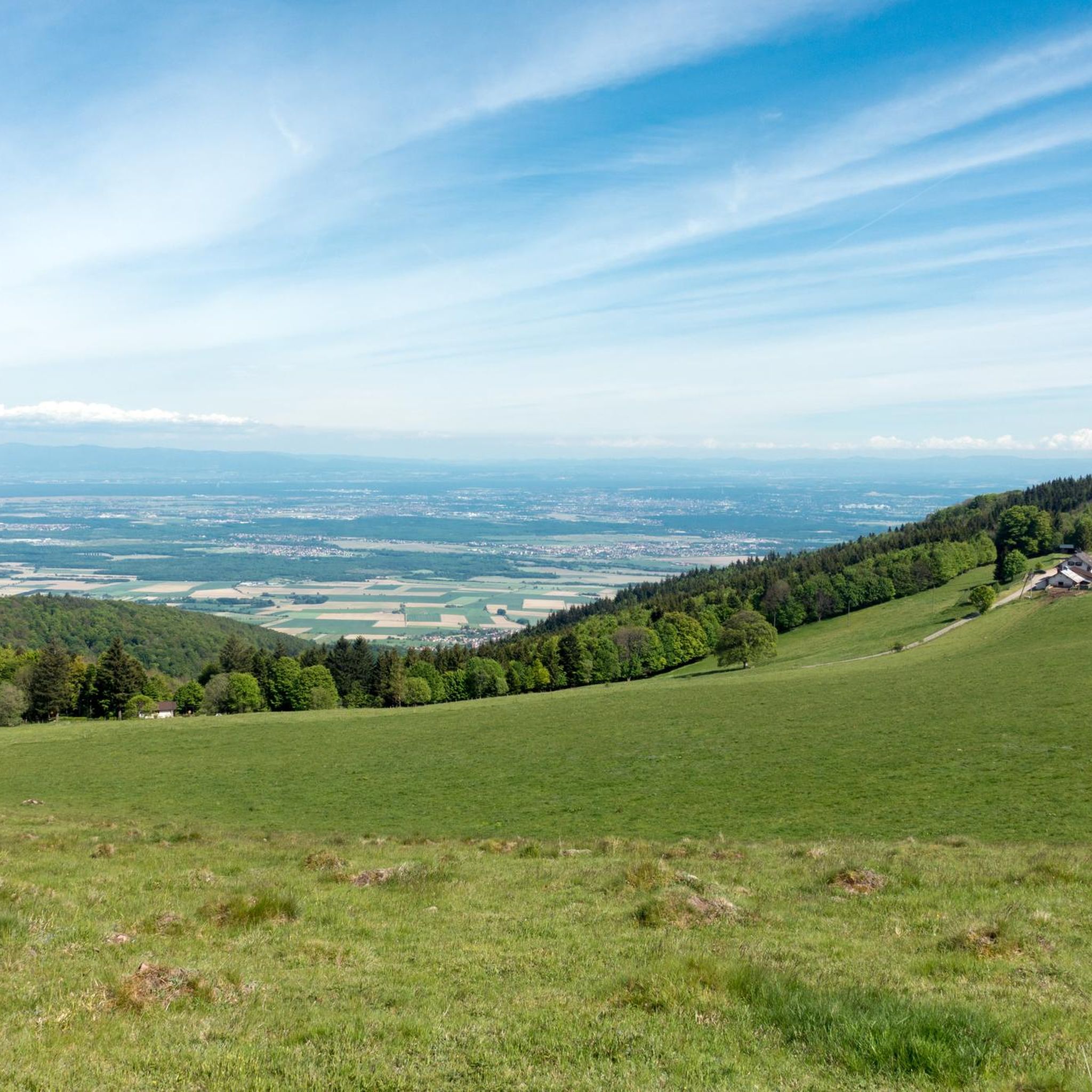
The 360° panorama is superb.
0
0

beautiful cycle path along the Thur
0
0

The Thur rises in the Vosges mountains at the foot of the Ballon d'Alsace and flows for about 53 kilometers through Alsace. It crosses picturesque towns such as Thann and Cernay before flowing into the Ill near Ensisheim. The river shapes the landscape, nature, and recreation equally.
0
0
The Thur rises in the Vosges at the foot of the Ballon d'Alsace and flows for around 53 kilometers through Alsace. It crosses picturesque towns such as Thann and Cernay before flowing into the Ill near Ensisheim. The river shapes the landscape, nature, and recreation alike.
0
0
The Thur rises in the Vosges at the foot of the Ballon d'Alsace and flows for around 53 kilometers through Alsace. It passes through picturesque towns such as Thann and Cernay before flowing into the Ill near Ensisheim. The river shapes the landscape, nature, and recreation alike.
1
0
Frequently Asked Questions
How many running routes are available around Weiler?
There are over 540 running routes around Weiler, offering a wide range of options for different fitness levels and preferences. This includes 24 easy routes, 253 moderate routes, and 269 difficult routes.
What kind of terrain can I expect on jogging routes in Weiler?
The jogging routes around Weiler are characterized by significant elevation changes, including challenging ascents and descents. You can expect mountainous terrain, often leading through passes and offering panoramic views. While some routes are moderate, many are suitable for experienced runners seeking demanding workouts.
Are there running trails suitable for beginners in Weiler?
Yes, there are 24 easy running routes around Weiler. While the region is known for its challenging mountainous terrain, these easier options provide a good starting point for beginners or those looking for a less strenuous run.
What are some of the most scenic viewpoints or landmarks along the jogging routes?
Many jogging routes in Weiler offer panoramic views due to the mountainous terrain. You can also find routes that pass by significant landmarks. For example, some trails lead near Haag Pass or Hundsruck Pass. Additionally, you might encounter historical sites like the The Witch's Eye (Engelbourg Castle) or the Ruins of Hohrupf Castle.
What do other runners enjoy most about jogging in Weiler?
The running routes in Weiler are highly rated by the komoot community, with an average score of 4.4 stars from over 160 reviews. Runners often praise the challenging mountainous terrain, the significant elevation gains, and the rewarding panoramic viewpoints. The variety of routes, from moderate to difficult, is also frequently appreciated.
Are there any circular jogging routes available?
Yes, many of the running routes in Weiler are designed as loops. For instance, the Grand Ballon – Haag Pass loop from Willer-sur-Thur is a popular difficult route, and the Panoramic view – Hundsruck Pass loop from Bitschwiller-lès-Thann also offers a challenging circular experience.
Can I bring my dog on the running trails in Weiler?
While specific regulations for each trail may vary, generally, many outdoor trails in natural areas are dog-friendly, especially if dogs are kept on a leash. Given the natural and mountainous character of the region, it's likely that many routes are suitable for running with dogs. Always check local signage for any restrictions.
Are there any family-friendly jogging routes in Weiler?
Yes, among the 24 easy routes available, you can find options that are more suitable for families. These routes typically have less extreme elevation changes and shorter distances, making them more accessible for a family outing. The region's natural beauty also provides an enjoyable setting for all ages.
What is the best time of year for jogging in Weiler?
Given the mountainous terrain, spring, summer, and early autumn are generally the best times for jogging in Weiler, offering pleasant temperatures and clear paths. Winter jogging is possible, but routes at higher elevations may be affected by snow and ice, requiring appropriate gear and caution.
Are there any running routes that pass by cafes or places to rest?
While specific cafes directly on every trail are not detailed, many routes start or pass through villages like Willer-sur-Thur or Bitschwiller-lès-Thann, where you can typically find amenities. For example, the Moosch National Necropolis – Moosch loop from Willer-sur-Thur starts and ends in a village, likely offering options for refreshments.
What is the typical distance and elevation gain for running routes in Weiler?
The routes vary significantly. Distances range from shorter, moderate trails like the Moosch National Necropolis – Moosch loop from Willer-sur-Thur (5.1 miles with 69 meters elevation gain) to challenging long-distance routes such as the Grand Ballon – Haag Pass loop from Willer-sur-Thur (16.6 miles with over 1,100 meters elevation gain). You can find options from easy, relatively flat paths to very demanding climbs.
Are there any routes that offer views of the Grand Ballon?
Yes, several routes provide views of or traverse the area around the Grand Ballon. The Grand Ballon – Haag Pass loop from Willer-sur-Thur is a prime example, offering a challenging run through this prominent mountainous region.
Most popular attractions around Weiler

Get inspired with the komoot mobile app


Explore more
Browse the best Running Trails & Routes in other regions.
