The best gravel rides around Lay-Saint-Christophe
4.1
(48)
241
riders
93
rides
Gravel biking around Lay-Saint-Christophe, a village north of Nancy in Meurthe-et-Moselle, offers varied terrain suitable for exploration. The region is characterized by a south-facing hillside and a tranquil countryside ambiance, providing a network of unpaved roads, dirt tracks, and forest paths. This rural setting supports diverse gravel biking experiences, including routes with elevation changes across wooded areas and elevated plateaus. The presence of the Moselle river also hints at potential riverside routes.
Best gravel bike trails around Lay-Saint-Christophe
- The most…
Last updated: November 2, 2026
13
riders
68.5km
05:30
1,060m
1,060m
Hard gravel ride. Very good fitness required. Mostly paved surfaces.
5.0
(3)
13
riders
63.1km
03:53
660m
660m
Hard gravel ride. Very good fitness required. Mostly paved surfaces.

3.0
(2)
23
riders
59.3km
04:37
780m
780m
Hard gravel ride. Very good fitness required. You may need to push your bike for some segments of this route.
4.0
(4)
19
riders
49.0km
02:43
260m
260m
Moderate gravel ride. Good fitness required. Mostly paved surfaces.
4.6
(5)
9
riders
25.3km
01:46
350m
350m
Moderate gravel ride. Good fitness required. Mostly paved surfaces.
Get access to more routes and recommendations from other explorers.
Already have an account?
Our route recommendations are based on thousands of hikes, rides, and runs completed by other people on komoot.
Start today with a free account
Your next adventure awaits.

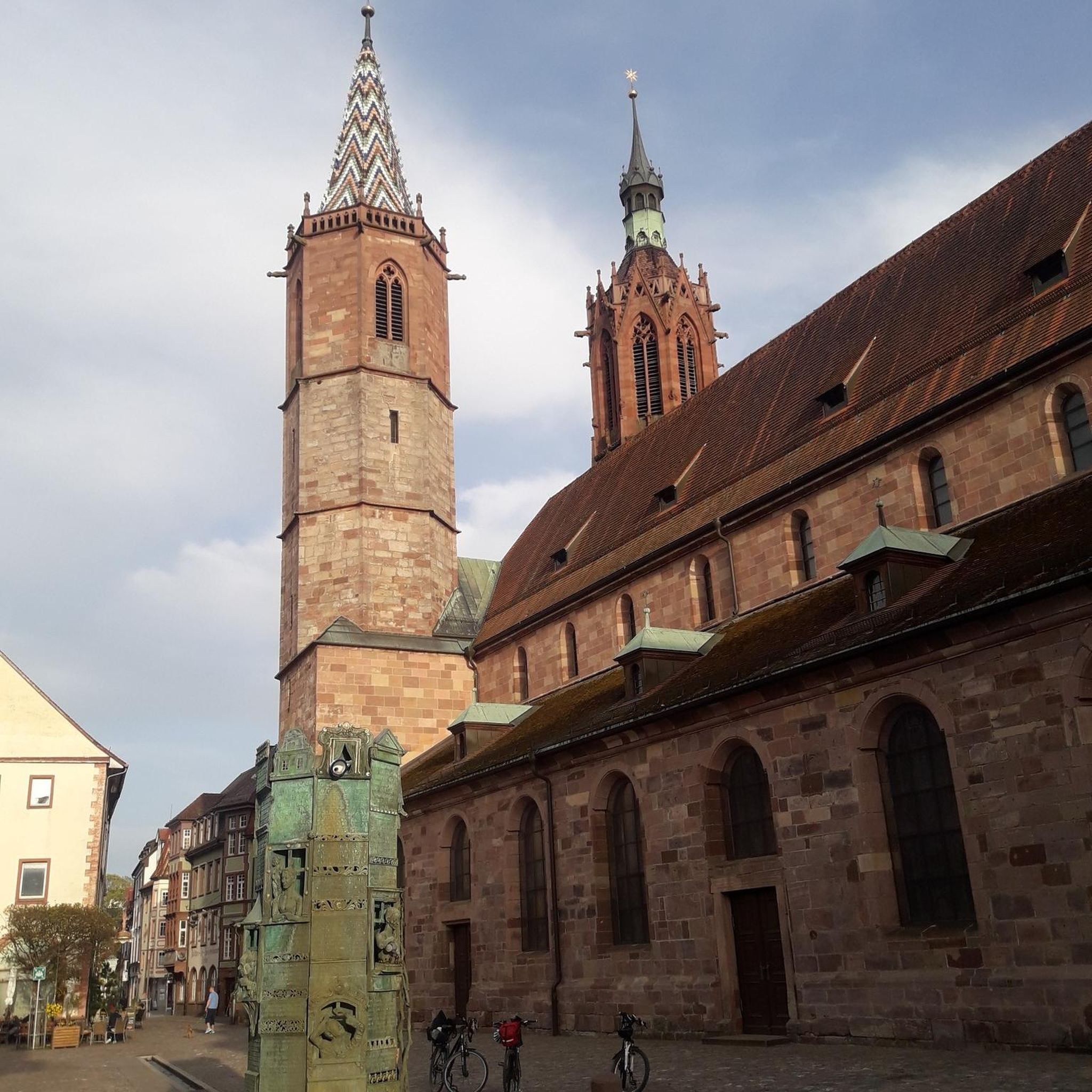
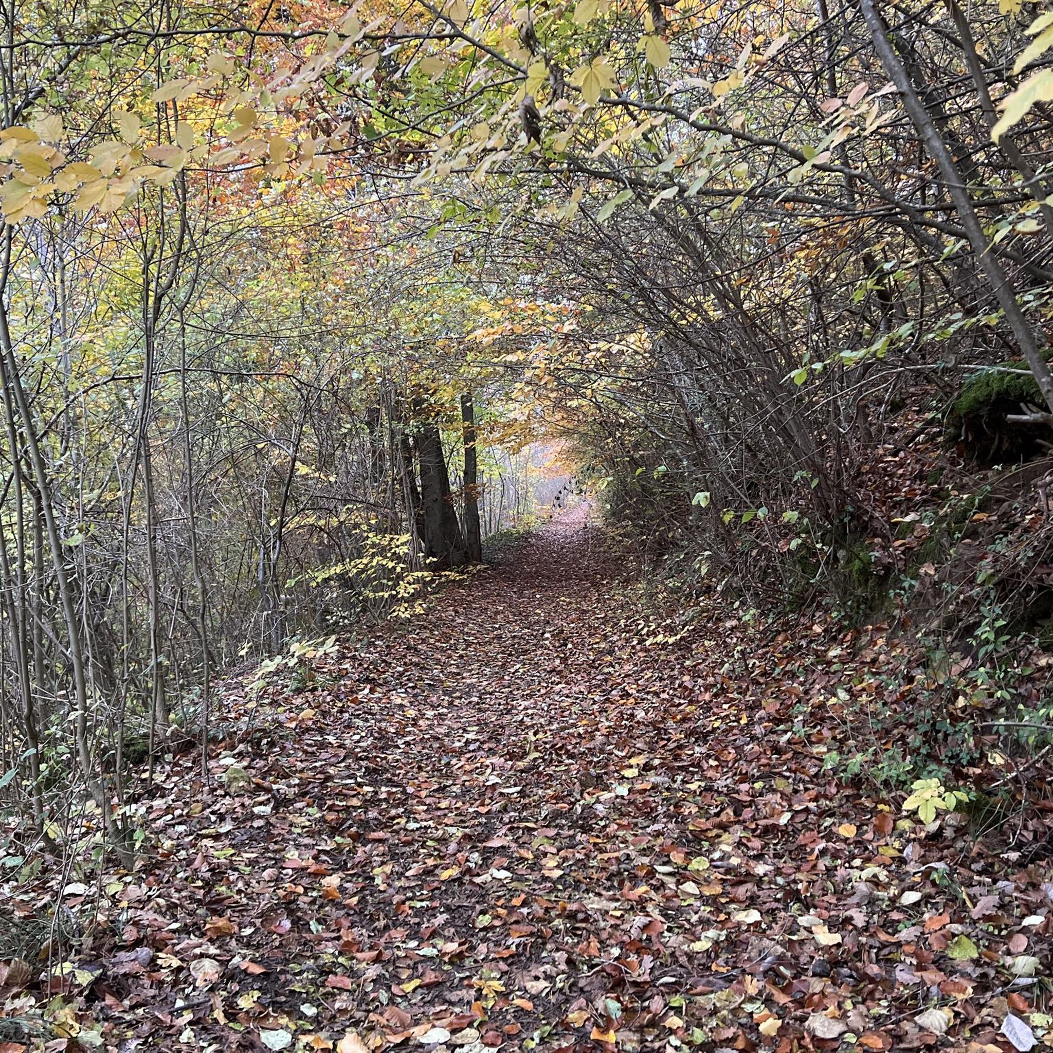
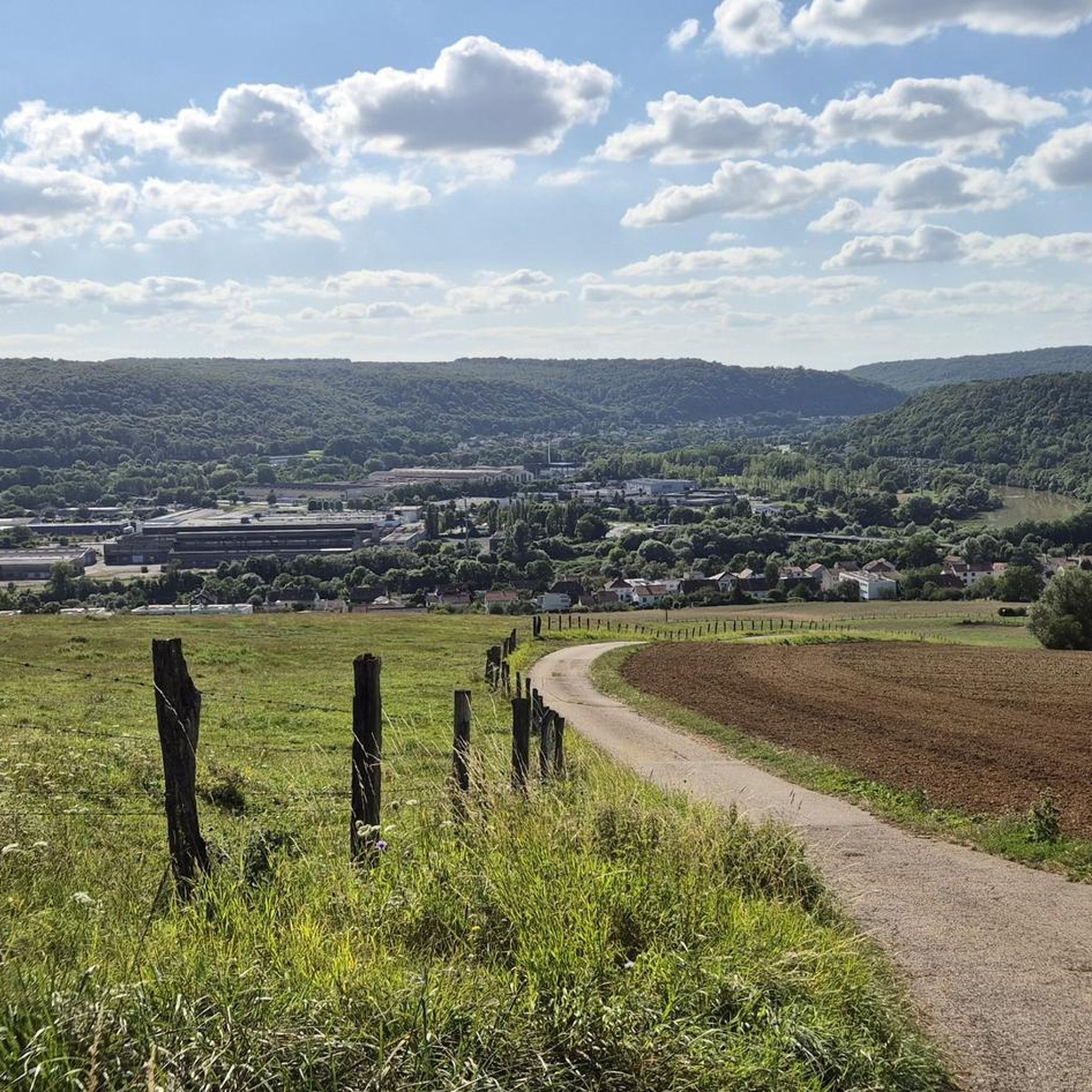
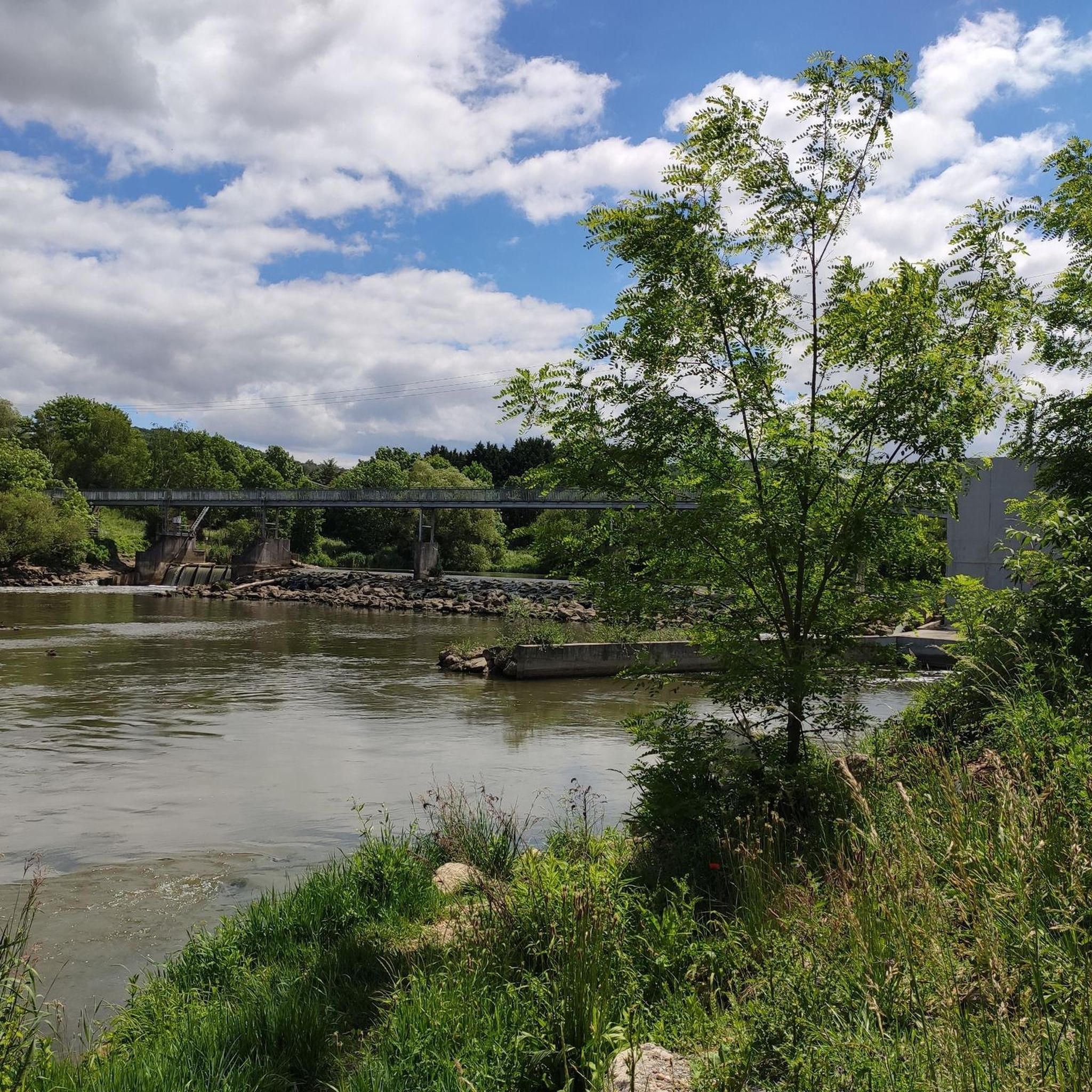
Tips from the Community

scenically very beautiful section
0
0
a beautiful piece of Roman heritage
0
0
a nice section that still needs to grow
0
0
strikingly beautiful industrial architecture
0
0

beautiful cycle path along the Mosel
0
0
beautiful cycle path along the Moselle
0
0
the mosel is getting bigger and bigger
0
0
Frequently Asked Questions
How many gravel bike trails are available around Lay-Saint-Christophe?
There are over 100 gravel bike trails around Lay-Saint-Christophe, offering a wide variety of routes for different skill levels. You'll find approximately 78 moderate routes and 39 more challenging options to explore the region's diverse terrain.
What kind of terrain can I expect on gravel bike trails in Lay-Saint-Christophe?
The terrain around Lay-Saint-Christophe is characterized by its rural countryside, south-facing hillsides, and a mix of unpaved roads, dirt tracks, and forest paths. This varied landscape provides diverse surfaces and elevation changes, typical for gravel biking in the French countryside.
Are there any family-friendly gravel biking routes in the area?
While specific 'easy' routes aren't highlighted, many of the moderate trails can be suitable for families with some biking experience, especially those exploring the flatter sections or riverside paths. Always check the route details for distance and elevation before heading out with children.
What are some scenic points of interest I can see along the gravel routes?
Many routes offer picturesque views of the local countryside. For example, the View of Château Corbin – Aingeray Lock loop from Champigneulles provides glimpses of a local château. You can also find natural features like the Confluence of the Moselle and Meurthe rivers or historical sites like Stanislas Square in nearby Nancy, which can be incorporated into longer rides.
Are there any circular gravel bike routes available?
Yes, many of the gravel routes around Lay-Saint-Christophe are designed as loops. For instance, the Plateau de Malzéville – Plateau de Malzéville loop from Eulmont is a popular moderate option that explores an elevated plateau, offering varied surfaces and scenic countryside views.
What do other gravel bikers say about the trails in Lay-Saint-Christophe?
The gravel biking routes in Lay-Saint-Christophe are highly rated by the komoot community, with an average score of 4.2 stars from over 70 reviews. Riders often praise the diverse terrain, the tranquil countryside ambiance, and the mix of unpaved roads and forest paths that make for engaging rides.
Can I access the gravel trails using public transport?
Lay-Saint-Christophe is located north of Nancy, and the Meurthe-et-Moselle department generally promotes cycling. While specific public transport links directly to trailheads might vary, Nancy offers regional transport options. It's advisable to check local bus or train services for connections to villages near the starting points of your chosen routes.
Where can I park my car when going gravel biking in Lay-Saint-Christophe?
Parking is generally available in and around the villages that serve as starting points for these routes, such as Champigneulles, Eulmont, or Frouard. Look for public parking areas within these communities, keeping in mind that specific trailheads may not have dedicated parking lots.
What is the best time of year for gravel biking in Lay-Saint-Christophe?
The region's climate makes spring and autumn particularly pleasant for gravel biking, with milder temperatures and beautiful natural scenery. Summer can also be enjoyable, though it's wise to start earlier in the day to avoid the midday heat. Winter conditions might include mud or frost on unpaved paths, so check local weather forecasts.
Are there any long-distance gravel routes for experienced riders?
Yes, for experienced riders looking for a longer challenge, the The town overlooking the Moselle – Avenue by the water loop from Champigneulles is a difficult 93.7 km trail. It leads through the Moselle valley and surrounding hills, typically taking over 8 hours to complete, offering significant elevation changes and varied landscapes.
Are there any cafes or restaurants near the gravel bike trails?
The villages surrounding Lay-Saint-Christophe, such as Champigneulles, Eulmont, and Frouard, offer local amenities including cafes and restaurants where you can refuel before or after your ride. It's a good idea to plan your route to pass through these villages for convenient stops.
Can I bring my dog on the gravel bike trails?
Many natural areas and public paths in France are dog-friendly, especially if your dog is well-behaved and kept on a leash. However, specific regulations can vary by municipality or protected area. Always ensure your dog is comfortable with the distance and terrain, and carry enough water for both of you.
Most popular routes around Lay-Saint-Christophe
Most popular attractions around Lay-Saint-Christophe

Get inspired with the komoot mobile app


Explore more
Browse the best Gravel rides in other regions.
