The best running trails around Lay-Saint-Christophe
4.4
(114)
8,228
runners
24
runs
Jogging routes Lay-Saint-Christophe offer a variety of terrain, from riverside paths to elevated plateaus. The region is characterized by its mix of open landscapes, wooded areas, and water features like the Étang du Malnoy. Elevation gains are generally moderate, with some routes featuring more significant climbs. This provides a diverse environment for runners of all abilities.
Best jogging routes around Lay-Saint-Christophe
- The most popular jogging route is Running loop from Champigneulles, a 3.6 miles (5.7 km) trail that takes about 35 minutes to complete. This moderate loop offers a straightforward running experience.
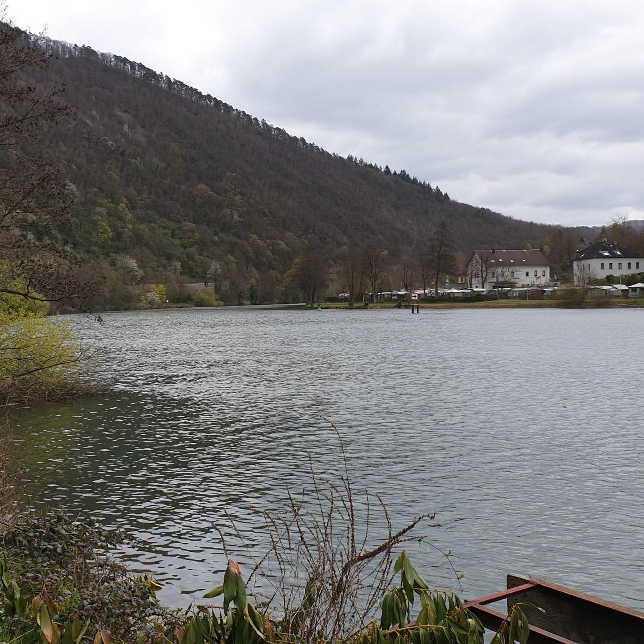
- Another top favourite among local runners is Moulin Noir Footbridge – Étang du Malnoy loop from Lay-Saint-Christophe, a moderate 5.8 miles (9.4 km) path. This route features a footbridge and scenic views around the Étang du Malnoy.
- Local runners also love the Tour of Crany – Unobstructed view through the forest loop from Lay-Saint-Christophe, a 10.3 miles (16.5 km) trail leading through dense forest with open views, often completed in about 1 hour 50 minutes.
- Jogging around Lay-Saint-Christophe is defined by its mix of forest trails, riverside paths, and plateau views. The network offers options for different ability levels, from easy runs to more advanced trails.
- The routes in Lay-Saint-Christophe are highly rated by the komoot community with an average score of 4.3 stars from over 80 reviews. More than 7000 runners have used komoot to explore Lay-Saint-Christophe's varied terrain.
Last updated: August 30, 2026
5.0
(1)
317
runners
26.0km
02:45
60m
60m
Hard run. Very good fitness required. Mostly paved surfaces. Suitable for all skill levels.
4.5
(4)
443
runners
10.6km
01:07
30m
30m
Moderate run. Good fitness required. Mostly paved surfaces. Suitable for all skill levels.

Sign up for free
4.0
(1)
39
runners
5.75km
00:36
20m
20m
Moderate run. Good fitness required. Mostly paved surfaces. Suitable for all skill levels.
4.0
(1)
6
runners
18.7km
02:11
350m
350m
Hard run. Very good fitness required. Mostly paved surfaces. Suitable for all skill levels.
7
runners
Hard run. Very good fitness required. Mostly paved surfaces. Suitable for all skill levels.
Get access to more routes and recommendations from other explorers.
Sign up for free
Already have an account?
Our route recommendations are based on thousands of hikes, rides, and runs completed by other people on komoot.
Start today with a free account
Your next adventure awaits.
Login or Signup
Tips from the Community


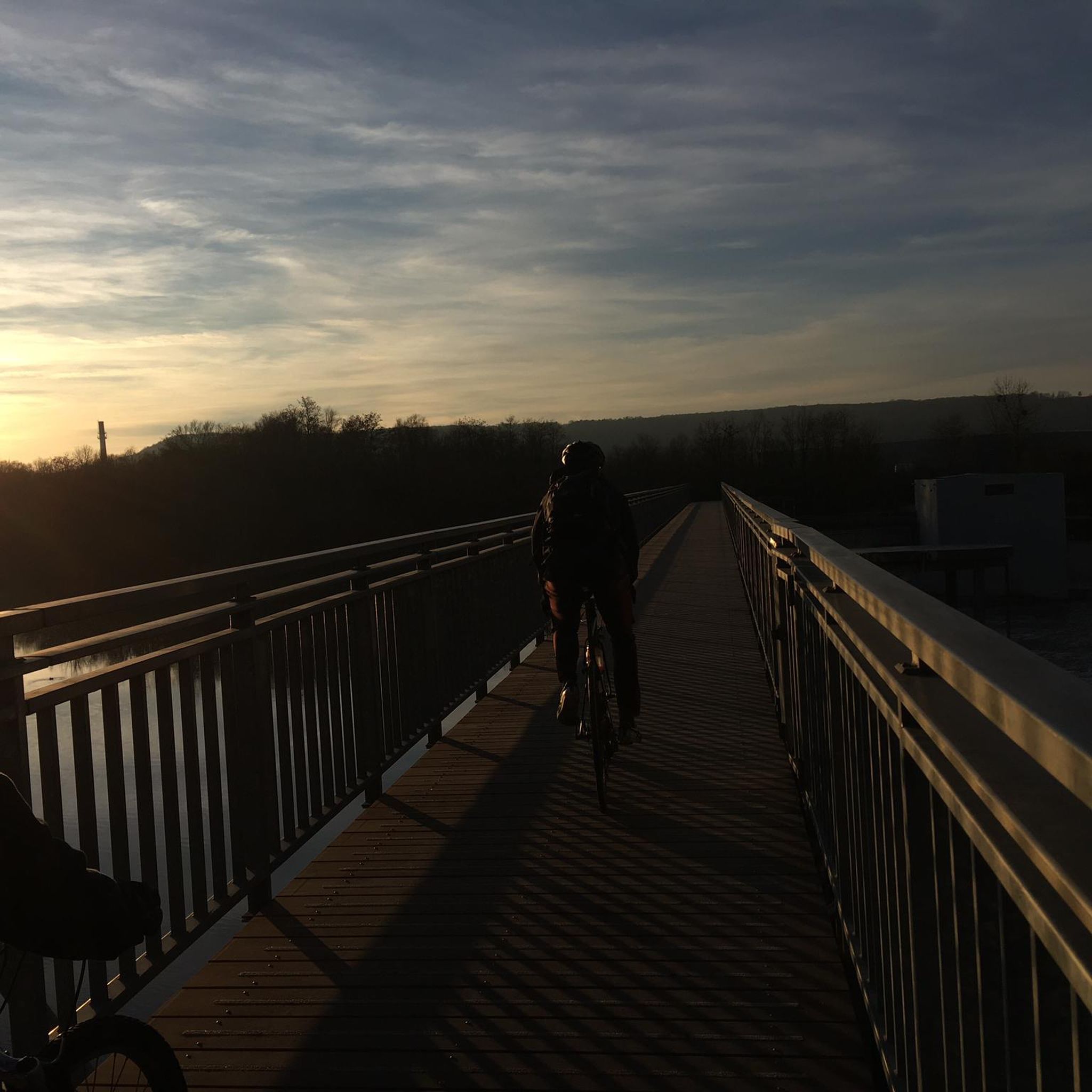
Beautiful and well-developed bike path. Ideal for cycling.
2
0

Located in the middle of the forest, the Crâny tower is a very mysterious tower about which we know practically nothing: its origin, its purpose...
0
0
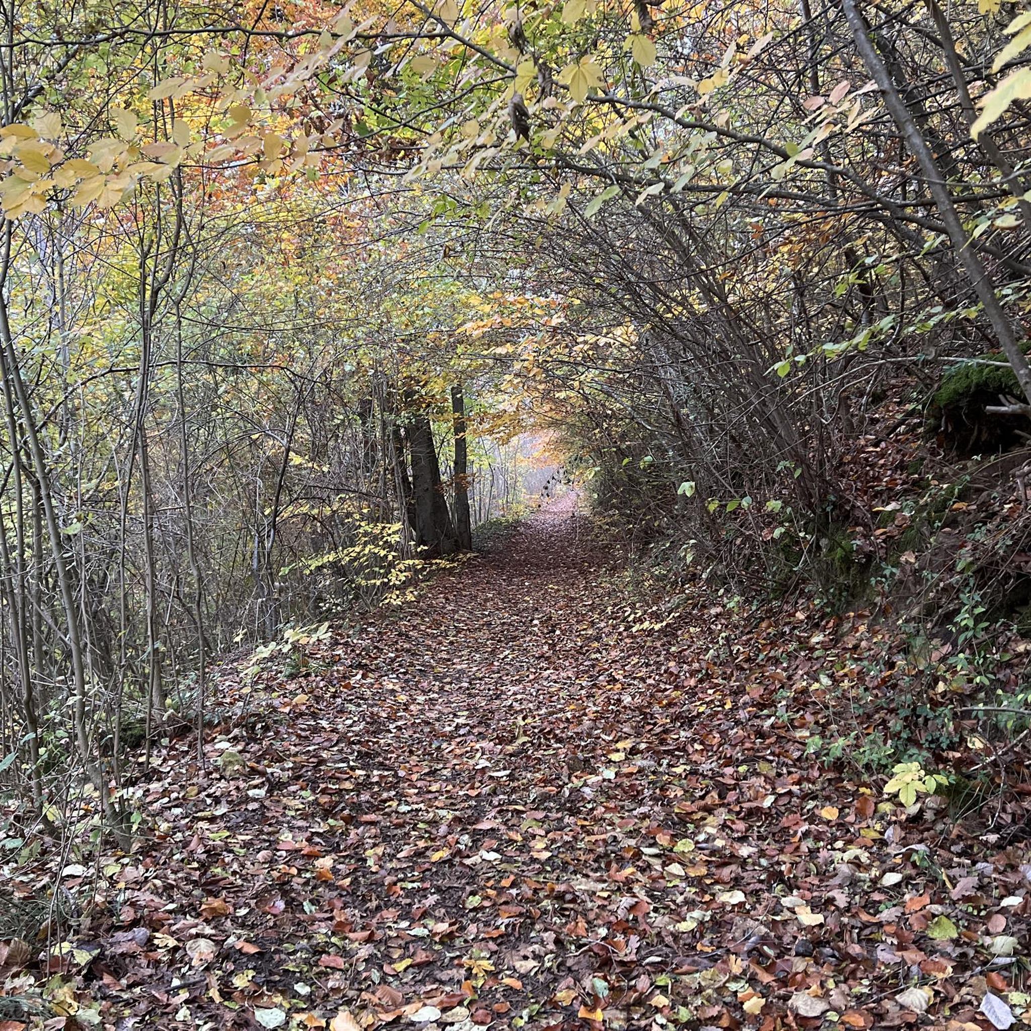
This old road, which already appears on the Cassini map (1760), is part of a network of rolling paths which allow you to cross the Bois de Faux plateau and reach all the villages.
0
0
Well-maintained greenway that avoids roads
2
0

According to the inhabitants of Eulemont, this tower was built in the 16th century to house plague victims from the region. However, there are doubts about this statement because this tower is not listed on the 1833 cadastral map. It therefore seems to have been built after 1833, although it is also called the "tour des Pestiférés".
2
0
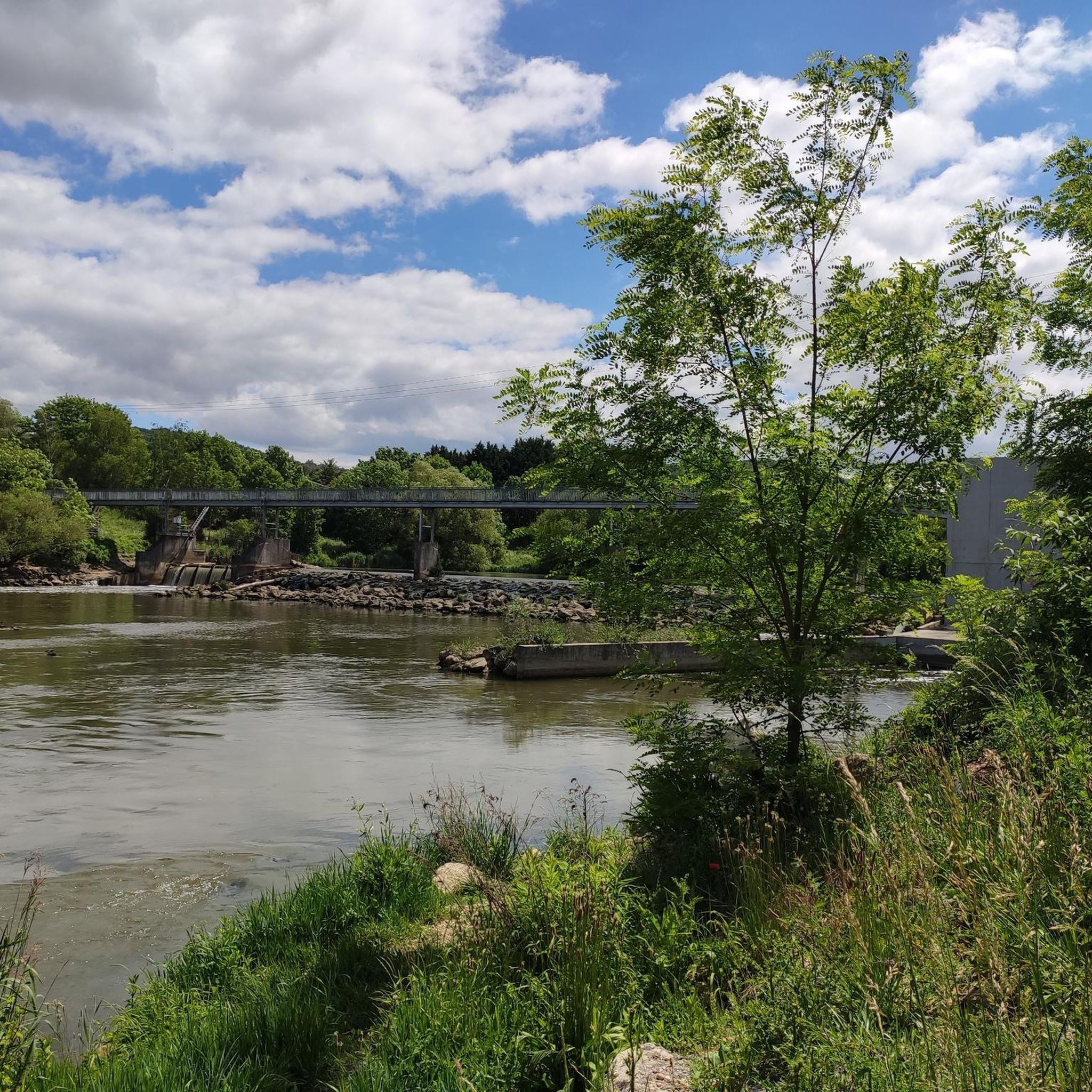
Pedestrian and bicycle bridge over the Mörthe.
1
0
Frequently Asked Questions
How many running routes are available in Lay-Saint-Christophe?
Lay-Saint-Christophe offers a good selection of running routes, with over 25 trails to choose from. These routes cater to various fitness levels, including easy, moderate, and difficult options.
Are there easy running routes suitable for beginners in Lay-Saint-Christophe?
Yes, there are several easy running routes perfect for beginners or those looking for a relaxed jog. The region features 5 easy trails, often along riverside paths or through open landscapes with minimal elevation gain.
What kind of terrain can I expect on the jogging trails around Lay-Saint-Christophe?
The jogging trails in Lay-Saint-Christophe offer a diverse mix of terrain. You can expect riverside paths, wooded areas, and elevated plateaus. Water features like the Étang du Malnoy are also common, providing varied and scenic running experiences.
Are there challenging running trails for experienced runners in the area?
For experienced runners seeking a challenge, Lay-Saint-Christophe has 4 difficult trails. One notable option is the Tour of Crany – Unobstructed view through the forest loop from Lay-Saint-Christophe, which covers 10.3 miles (16.5 km) with significant elevation changes through dense forest.
Can I find circular running routes in Lay-Saint-Christophe?
Yes, many of the running routes in Lay-Saint-Christophe are circular, making them convenient for starting and ending at the same point. Examples include the Running loop from Champigneulles and the Moulin Noir Footbridge – Étang du Malnoy loop from Lay-Saint-Christophe.
Which running routes offer the best scenic views?
For scenic views, consider routes that pass by the Étang du Malnoy or offer elevated perspectives. The Moulin Noir Footbridge – Étang du Malnoy loop from Lay-Saint-Christophe provides beautiful waterside scenery. Additionally, the Tour of Crany – Unobstructed view through the forest loop from Lay-Saint-Christophe lives up to its name with open views through the forest.
Are the running trails in Lay-Saint-Christophe suitable for families?
Many of the easier and moderate running routes in Lay-Saint-Christophe are suitable for families, especially those with older children. Look for trails with lower elevation gains and shorter distances, such as the 5 easy routes available, which often follow gentle riverside paths.
What do other runners enjoy most about jogging in Lay-Saint-Christophe?
The komoot community highly rates the running experience in Lay-Saint-Christophe, with an average score of 4.3 stars from over 80 reviews. Runners often praise the region's varied terrain, from quiet woodlands to open plateaus, and the well-maintained paths that offer a mix of natural beauty and accessible running.
Are there any interesting landmarks or attractions near the running routes?
Yes, the region around Lay-Saint-Christophe offers several points of interest. You might encounter historical sites like Place de la Carrière or natural features such as the Confluence of the Moselle and Meurthe rivers. Some routes may also pass by the Marne–Rhine Canal.
What is the typical distance range for running routes in the area?
The running routes in Lay-Saint-Christophe vary significantly in distance. You can find shorter loops around 3.6 miles (5.7 km), like the Running loop from Champigneulles, up to longer trails over 10 miles (16 km), such as the Tour of Crany – Unobstructed view through the forest loop from Lay-Saint-Christophe, catering to various preferences.
Are dogs allowed on the jogging paths in Lay-Saint-Christophe?
Generally, dogs are welcome on most outdoor trails in the region, provided they are kept on a leash and owners clean up after them. It's always a good idea to check specific signage at trailheads for any local regulations or protected areas where dogs might be restricted.
Are there any running routes that pass by the Étang du Malnoy?
Yes, the Moulin Noir Footbridge – Étang du Malnoy loop from Lay-Saint-Christophe is a popular moderate route that specifically features scenic views around the Étang du Malnoy, offering a pleasant waterside running experience.
Most popular routes around Lay-Saint-Christophe
Most popular attractions around Lay-Saint-Christophe

Get inspired with the komoot mobile app


Explore more
Browse the best Running Trails & Routes in other regions.
