The best gravel rides around Saint-Zacharie
4.5
(26)
198
riders
34
rides
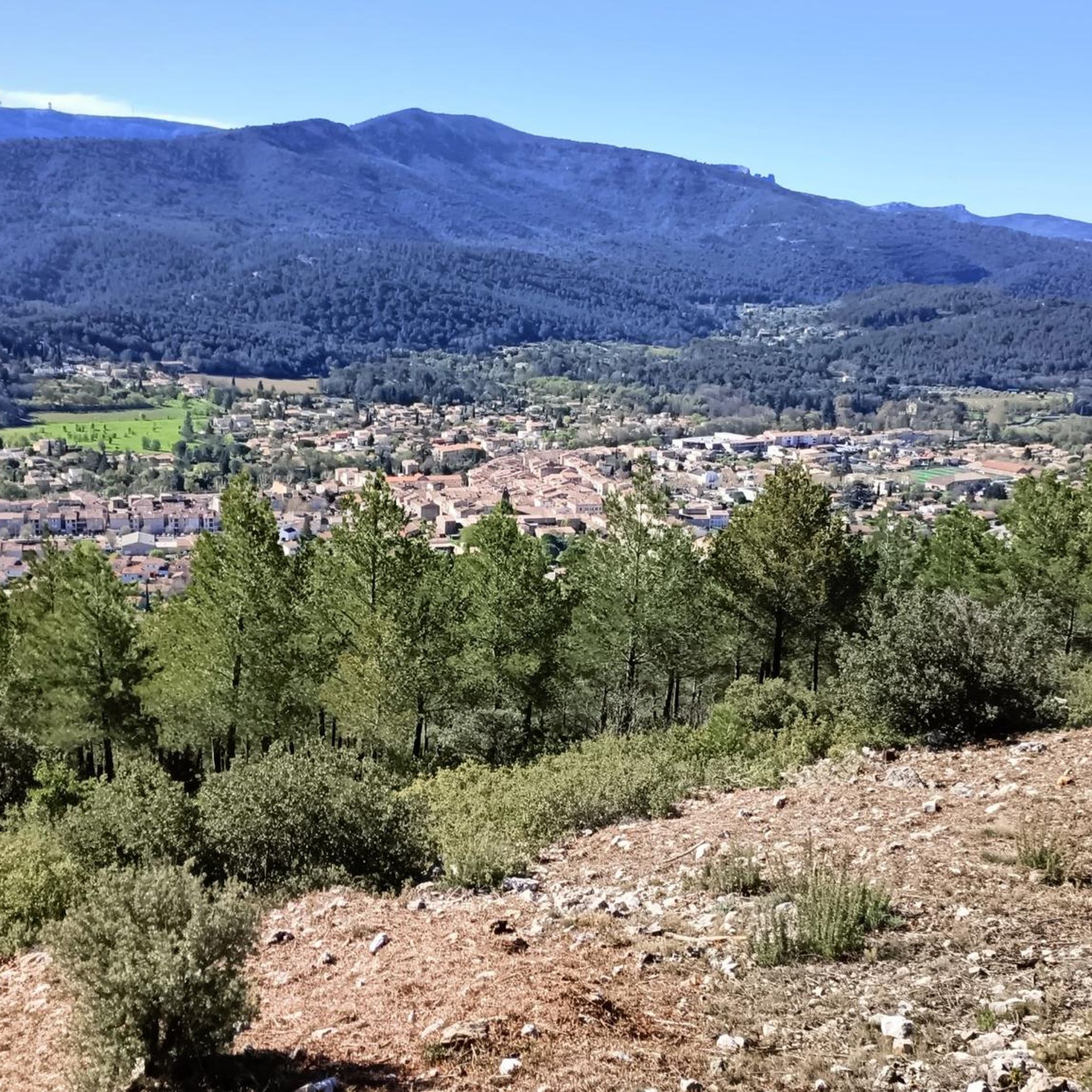
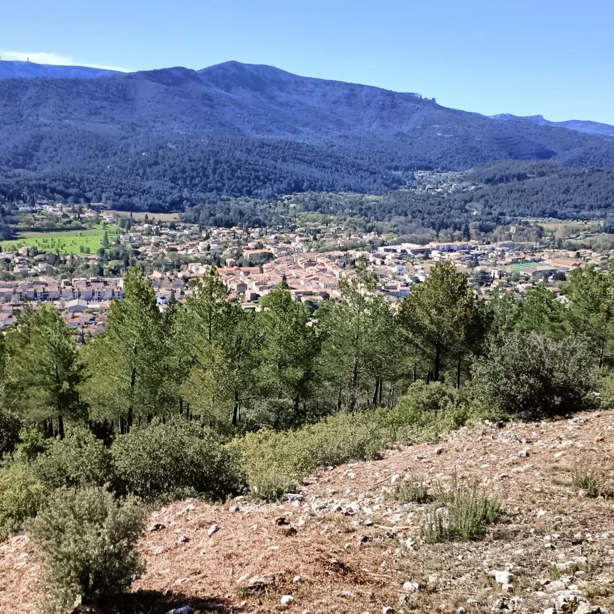
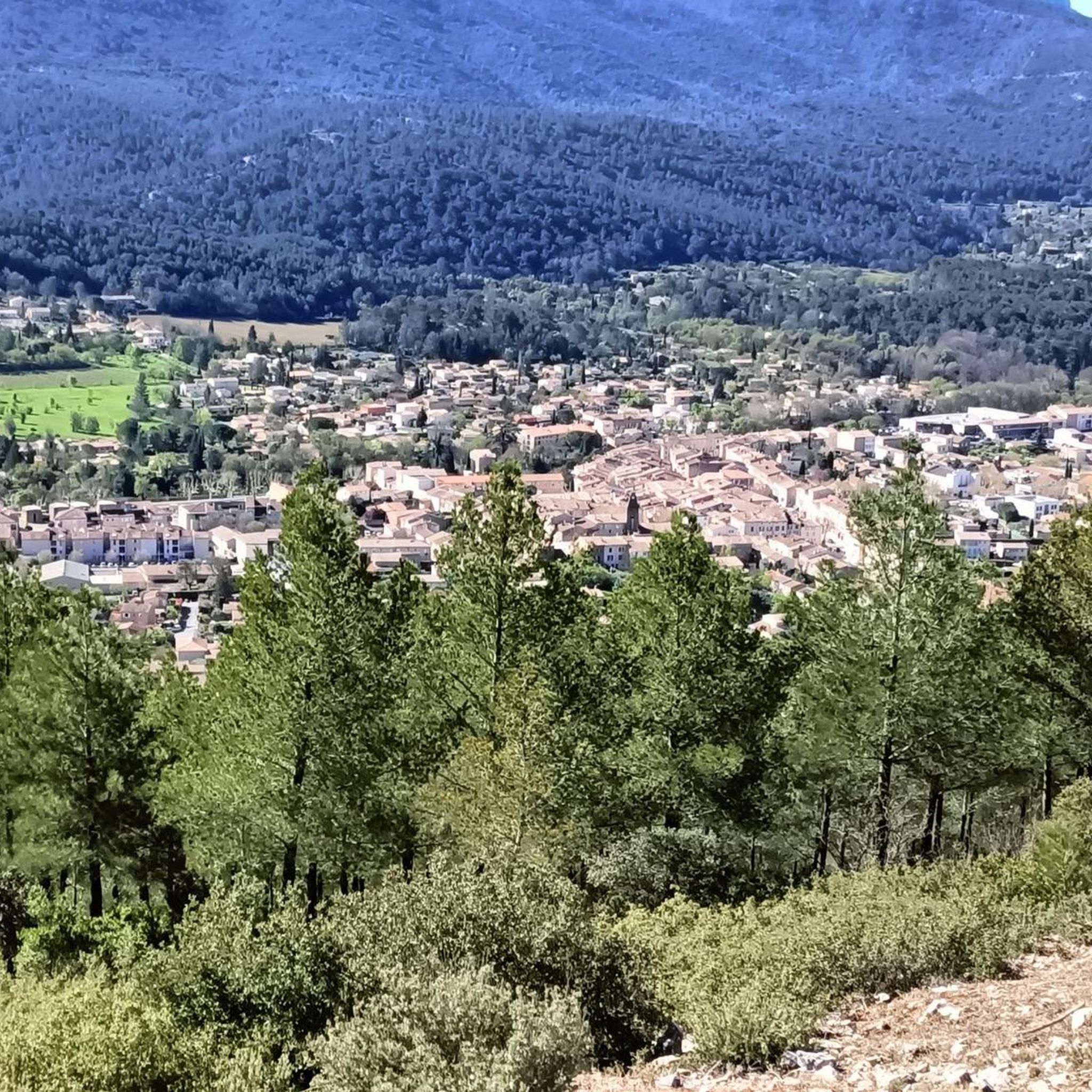
Gravel biking around Saint-Zacharie offers a diverse landscape within the Sainte-Baume massif. The region is characterized by varied terrain, including significant elevation changes and forested areas like the Bois de la Lare. Cyclists can expect trails with challenging ascensions and descents, providing numerous viewpoints across the Provence-Alpes-Côte d'Azur. This area provides a robust setting for gravel biking adventures.
Best gravel bike trails around Saint-Zacharie
- The most popular gravel bike trail is Beautiful road – la coutronne loop from Nans-les-Pins,…
Last updated: July 3, 2026
4.3
(4)
32
riders
88.2km
06:44
1,670m
1,670m
Hard gravel ride. Very good fitness required. Mostly paved surfaces. Suitable for all skill levels.
5.0
(3)
15
riders
36.6km
02:56
600m
600m
Hard gravel ride. Very good fitness required. Mostly paved surfaces. Suitable for all skill levels.

Sign up for free
5.0
(1)
7
riders
35.8km
02:52
850m
850m
Hard gravel ride. Very good fitness required. Mostly paved surfaces. Suitable for all skill levels.
4.5
(2)
9
riders
48.5km
03:58
1,030m
1,030m
Hard gravel ride. Very good fitness required. Mostly paved surfaces. Suitable for all skill levels.
4.0
(2)
11
riders
34.1km
03:02
750m
750m
Hard gravel ride. Very good fitness required. Mostly paved surfaces. Suitable for all skill levels.
Get access to more routes and recommendations from other explorers.
Sign up for free
Already have an account?
Our route recommendations are based on thousands of hikes, rides, and runs completed by other people on komoot.
Start today with a free account
Your next adventure awaits.
Login or Signup
Other adventures around Saint-Zacharie

Tips from the Community

superb climb, very well described in the other comments. It is possible to push on to the cave of Marie Madeleine (11kms) for a picnic at the bottom (hostellerie de la Sainte Baume) and then a short climb on foot. https://fr.wikipedia.org/wiki/Sanctuaire_de_la_Sainte-Baume
0
0

Enjoyable to ride through this area. The scenery and landscape is brilliant
0
0

Magnificent climb with a beautiful view of Marseille on arrival.
0
0
very beautiful and easy climb, view of Saint Victoire below, rapid descent towards St Sac
0
0

From Gémenos, the Col de l'Espigoulier is reached after an 11.2km climb (574m elevation gain). The average gradient is 5.1%. The Espigoulier's special feature? Its switchbacks! Like a beautiful mountain pass, the road twists and turns to offer views (especially of Marseille in the distance), areas for recovery, and beautiful steep sections! The surrounding landscape is simply superb. The road was particularly quiet on the way up (between 7:30 and 8:00 a.m. on a Friday in July), but it was coming hard from the opposite direction. Keep your eyes peeled 😉
0
0

Frequently Asked Questions
What kind of terrain can I expect on gravel bike trails around Saint-Zacharie?
The gravel bike trails around Saint-Zacharie, nestled within the Sainte-Baume massif, feature a diverse and often challenging terrain. You'll encounter significant elevation changes, including both ascensions and descents, with routes reaching maximum altitudes up to 738 meters. The landscape includes forested areas like the Bois de la Lare, offering varied surfaces and scenic viewpoints across the Provence-Alpes-Côte d'Azur region.
Are there any easy or beginner-friendly gravel bike trails in Saint-Zacharie?
While the region is known for its challenging and difficult routes, with 26 out of 33 routes rated as difficult, there are 7 routes categorized as moderate. These might offer a more accessible experience for beginners or those looking for a less strenuous ride. It's always recommended to check the specific route details on komoot to match your skill level.
What natural features or landmarks can I see along the gravel bike routes?
The Sainte-Baume massif provides a stunning backdrop for gravel biking. Along the trails, you can discover several notable natural and historical features. Highlights include the Saint-Pilon Chapel, offering historical significance, and natural monuments like Bertagne Peak and the View of the Sainte-Baume Massif, which provide exceptional panoramic views. You might also encounter the Saint Mary Magdalene Grotto or the Source of the Huveaune.
What is the typical length and duration of gravel bike trails in this area?
Gravel bike trails around Saint-Zacharie vary significantly in length and duration. For instance, routes can range from approximately 35.8 km, like the difficult Beautiful road – la coutronne loop from Saint-Zacharie, which takes around 2 hours 52 minutes, to longer expeditions such as the 88.2 km Beautiful road – la coutronne loop from Nans-les-Pins, which can take over 6 hours to complete. Most routes are designed for a substantial ride, often covering distances between 35 km and 50 km.
Are there any loop routes available for gravel biking?
Yes, many of the gravel bike trails in the Saint-Zacharie area are designed as loops, allowing you to start and end at the same point. Examples include the Beautiful road – la coutronne loop from Saint-Zacharie and the Le Pigeonnier Climb – Les Michels loop from Peynier. These circular routes are convenient for exploration, often returning you to your starting point without needing to retrace your path.
What do other gravel bikers say about the trails in Saint-Zacharie?
The gravel biking routes in Saint-Zacharie are highly regarded by the komoot community, boasting an average rating of 4.5 stars from over 20 reviews. More than 180 gravel bikers have explored the varied terrain using komoot, often praising the challenging ascensions, rewarding descents, and the beautiful natural scenery of the Sainte-Baume massif.
Is Saint-Zacharie suitable for family-friendly gravel biking?
Given that the majority of routes are rated as difficult, and even moderate routes involve significant elevation changes, Saint-Zacharie might be more suitable for families with older children or those who are experienced cyclists. For younger families, it's advisable to carefully review route profiles for elevation and distance to ensure they match everyone's ability.
Can I bring my dog on the gravel bike trails?
While the region offers natural trails, specific regulations regarding dogs on gravel bike trails, including leash laws, can vary. It's best to check local signage or contact the Saint-Zacharie tourist information office for the most current guidelines on bringing dogs, especially within protected areas of the Sainte-Baume massif, to ensure a pleasant and compliant experience.
What is the best time of year to go gravel biking in Saint-Zacharie?
The Provence-Alpes-Côte d'Azur region generally enjoys a Mediterranean climate. Spring and autumn are often ideal for gravel biking, offering pleasant temperatures and less intense heat than the summer months. Winter can also be suitable, though some higher elevation trails might be affected by cooler weather or occasional precipitation. Always check local weather forecasts before heading out.
Are there options for food, drinks, or accommodation near the trails?
Saint-Zacharie itself, and nearby towns like Auriol, offer options for cafes, pubs, and accommodation. Many routes allow for exploration of these charming local areas, providing opportunities for a stopover to refuel or find a place to stay. It's recommended to plan your route with potential stops in mind, especially for longer rides.
Where can I park my car when starting a gravel bike ride in Saint-Zacharie?
Routes often originate from convenient starting points such as Stade Francois Coulomb in Saint-Zacharie. While specific parking details for each route are best found on the individual komoot tour pages, you can generally expect to find public parking facilities in and around the town center or designated trailheads. Always check for any parking restrictions or fees.
Can I access the gravel bike trails using public transport with my bike?
Accessing Saint-Zacharie via public transport is possible, but bringing bikes on buses or trains can sometimes be restricted or require specific conditions, especially during peak hours. It's advisable to check the policies of local public transport providers in the Provence-Alpes-Côte d'Azur region regarding bicycle carriage before planning your trip without a car.
Most popular routes around Saint-Zacharie
Most popular attractions around Saint-Zacharie

Get inspired with the komoot mobile app


Explore more
Browse the best Gravel rides in other regions.
