The best walks and hikes around Saint-Zacharie
4.5
(854)
5,857
hikers
36
hikes
Hiking around Saint-Zacharie offers diverse landscapes, from the sources of the Huveaune River to the foothills of the Sainte-Baume Massif. The region features varied terrain including riverside paths, forests, and valleys, providing a range of elevation changes. Trails often lead through natural features such as the Gorges de l'Huveaune and offer views of the wider Provençal region.
Best hiking trails around Saint-Zacharie
- The most popular hiking route is Source of the Huveaune – The source loop from Pas de Peyruis…
Last updated: June 25, 2026
4.8
(31)
185
hikers
8.17km
02:15
130m
130m
Moderate hike. Good fitness required. Easily-accessible paths. Suitable for all skill levels.
4.7
(32)
174
hikers
10.7km
03:13
260m
260m
Moderate hike. Good fitness required. Mostly accessible paths. Sure-footedness required.

Sign up for free
4.3
(6)
44
hikers
15.1km
04:08
230m
230m
Moderate hike. Good fitness required. Easily-accessible paths. Suitable for all skill levels.
4.2
(6)
31
hikers
17.8km
05:41
640m
640m
Hard hike. Very good fitness required. Sure-footedness, sturdy shoes and alpine experience required.
4.5
(4)
12
hikers
Moderate hike. Good fitness required. Mostly accessible paths. Sure-footedness required.
Get access to more routes and recommendations from other explorers.
Sign up for free
Already have an account?
Our route recommendations are based on thousands of hikes, rides, and runs completed by other people on komoot.
Start today with a free account
Your next adventure awaits.
Login or Signup
Other adventures around Saint-Zacharie

Tips from the Community

The Huveaune River originates in this cave. Its short river life, which leads to Marseille, lasts only 48 kilometers. During this short distance, it drops 590 meters in altitude from its source to its mouth in the Mediterranean.
1
0
The HUVEAUNE does not originate – at least according to Wikipedia – in these calcareous sinter basins, but in the Grotte de Castelette, which is of course also a hiking highlight in the system, see =>> https://www.komoot.com/de-de/highlight/627453
3
0

Honestly, it's a feast for the eyes.
0
0

Site developed. respect the markings Surely even more beautiful with water (August 24)
0
0

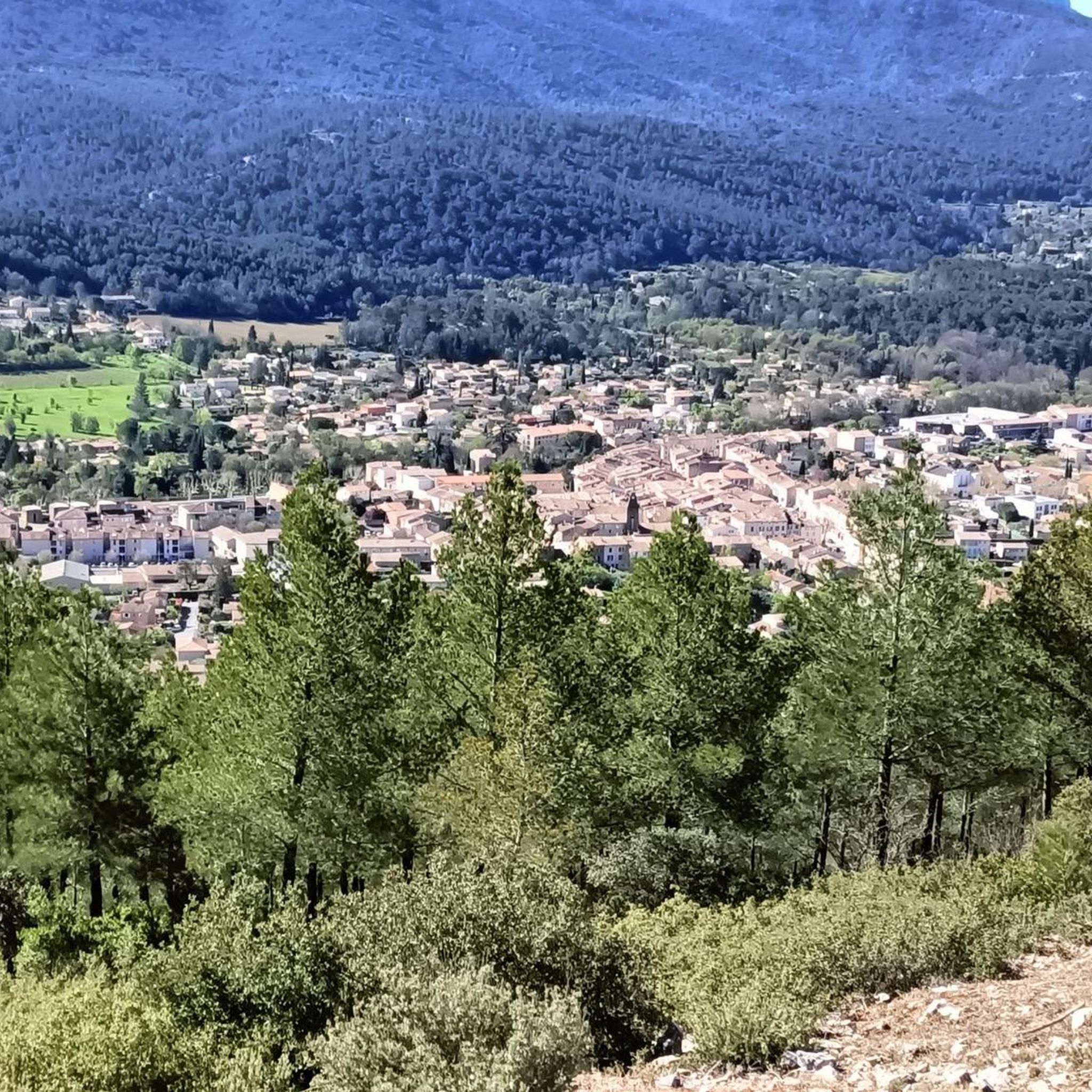
Nice panorama. We're not very high in the area so it's not crazy either!
1
0
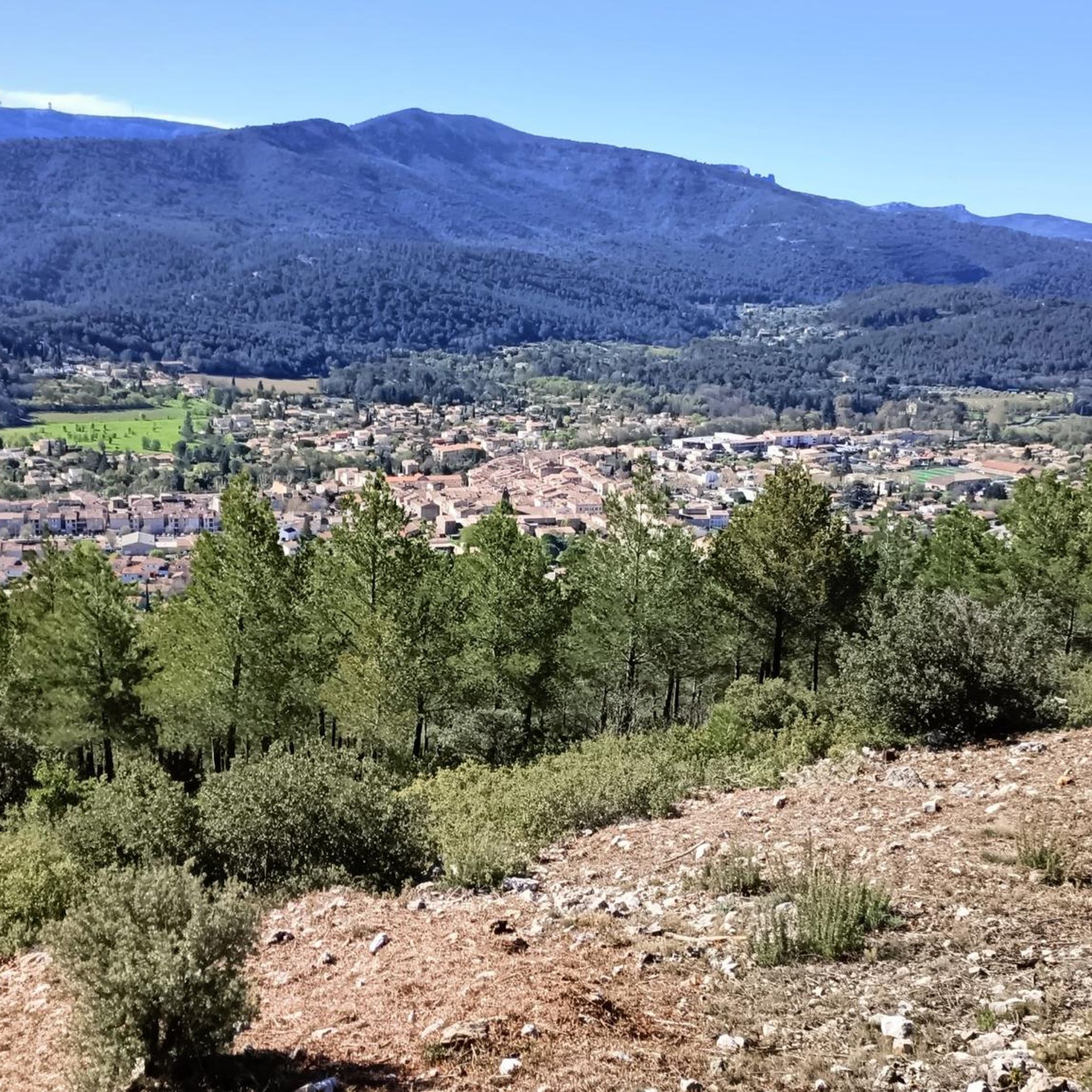
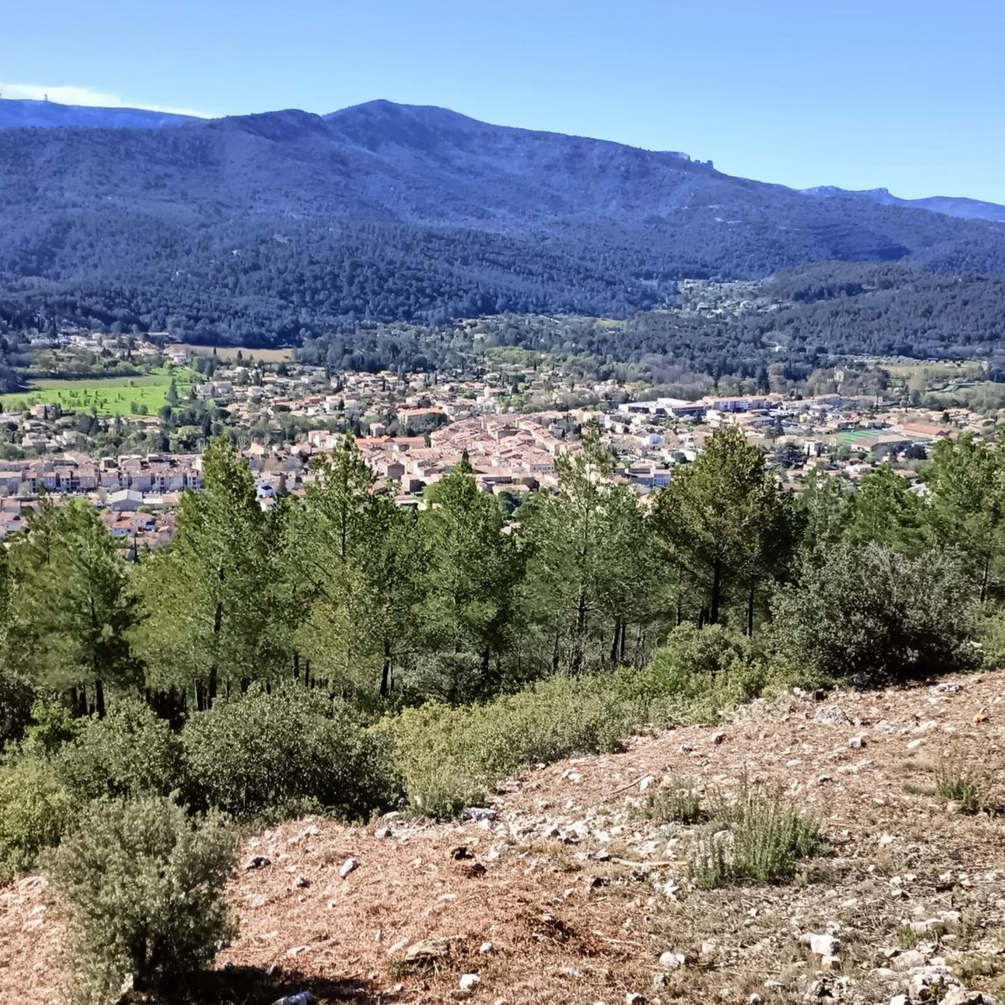
Nice panorama of the surrounding area, you can clearly see Ste Victoire and the pre-Alps in good weather!
0
0
The Huveaune is really beautiful all the way! The passages with the pools are splendid! Leave early it's very busy!
1
1
You absolutely have to go into the cave to complete the tour! Very easy access, you can get in standing up without any problem (1.88m)!
2
0
Frequently Asked Questions
How varied are the hiking trails in Saint-Zacharie?
Saint-Zacharie offers a wide range of hiking trails catering to various skill levels. You'll find everything from easy strolls suitable for any fitness level to moderate and challenging treks requiring good fitness and sure-footedness. The region features diverse terrain, including riverside paths along the Huveaune, extensive forests, and valleys, with elevation changes ranging from gentle slopes to more significant climbs.
What natural features or landmarks can I expect to see while hiking?
The hiking trails around Saint-Zacharie are rich in natural beauty. You can explore the picturesque sources of the Huveaune River, including the local attraction known as the 'Fée de la source,' and sections of the dramatic Gorges de l'Huveaune. Many routes also offer panoramic views of the iconic Sainte-Victoire mountain, the Sainte-Baume massif, and Mont Aurélien. Specific highlights include the Source of the Huveaune itself, and the View of the Sainte-Baume Massif.
Are there any family-friendly hiking options in Saint-Zacharie?
Yes, Saint-Zacharie provides several trails suitable for families. While specific 'easy' routes aren't detailed in the data, the region's diverse offerings include easier strolls that can be enjoyed by all ages. Look for routes with minimal elevation gain and shorter distances for a pleasant family outing.
Can I hike with my dog in Saint-Zacharie?
Many trails in the Saint-Zacharie area are suitable for hiking with dogs, allowing you to enjoy the natural surroundings with your canine companion. However, it's always recommended to keep dogs on a leash, especially in protected natural areas or near livestock, and to check local regulations for specific trails.
Are there many circular hiking routes available?
Yes, circular routes are a popular feature in Saint-Zacharie, allowing you to start and end your hike at the same point without retracing your steps. Examples include the Source of the Huveaune – The source loop from Pas de Peyruis and the Castelette Cave – Source of the Huveaune loop from Pont d'Angèle, which offer varied scenery on a single journey.
How accessible are the trailheads, especially regarding parking or public transport?
Accessibility varies by trailhead. Some trails, like 'La fée de Saint-Zacharie' mentioned in regional research, are accessible via free public transport, which is convenient for visitors without a car. For other routes, parking is generally available near popular starting points, though it's always advisable to check specific route details for parking information.
When is the best time of year to hike in Saint-Zacharie?
The diverse landscapes of Saint-Zacharie make it enjoyable for hiking across multiple seasons. Spring and autumn offer pleasant temperatures and vibrant scenery. During warmer months, trails winding through forests, such as those leading to the Source des Nayes, provide welcome shade. Winter hikes are also possible, though conditions may vary, especially at higher elevations in the Sainte-Baume Massif.
What do other hikers enjoy the most about hiking in Saint-Zacharie?
The area is highly rated by the komoot community, with an average score of 4.6 stars from over 700 reviews. Hikers often praise the diverse landscapes, from the tranquil riverside paths of the Huveaune to the challenging ascents in the Sainte-Baume Massif, and the rewarding panoramic views of the wider Provençal region.
Are there any challenging hikes for experienced trekkers?
Yes, Saint-Zacharie offers challenging hikes for experienced trekkers. For instance, the Castelette Cave – Source of the Huveaune loop from Saint-Zacharie is classified as difficult, featuring significant elevation gain and a longer distance, providing a rewarding experience for those seeking a more strenuous adventure.
How many hiking trails are available in Saint-Zacharie?
There are over 35 hiking routes available around Saint-Zacharie, offering a wide selection for all preferences. This includes 10 easy routes, 23 moderate routes, and 2 difficult routes, ensuring options for every fitness level and experience.
Are there any historical sites or points of interest near the trails?
Yes, the region around Saint-Zacharie is dotted with historical and cultural points of interest. You can find sites like the Saint Mary Magdalene Grotto, the Saint-Pilon Chapel, and Saint Pons Abbey. These highlights offer a glimpse into the area's rich heritage and can be incorporated into your hiking plans.
What kind of terrain can I expect on the trails?
The terrain around Saint-Zacharie is quite varied. You'll encounter riverside paths, often leading to the sources of the Huveaune, as well as trails winding through extensive forests. Higher up, especially towards the Sainte-Baume Massif, the terrain can become more rugged with rocky sections and steeper ascents, offering diverse walking surfaces throughout the region.
Most popular routes around Saint-Zacharie
Most popular attractions around Saint-Zacharie

Get inspired with the komoot mobile app


Explore more
Browse the best Hikes in other regions.
